On the home page of Metrolinx, the provincial agency tasked with building and operating regional transit in the Greater Toronto and Hamilton Area and beyond, there is a statement under the heading “Connecting Communities.”
The Greater Golden Horseshoe is growing, and you need to get places. Our transit projects will connect new, established and emerging communities across the Greater Golden Horseshoe.
– Metrolinx
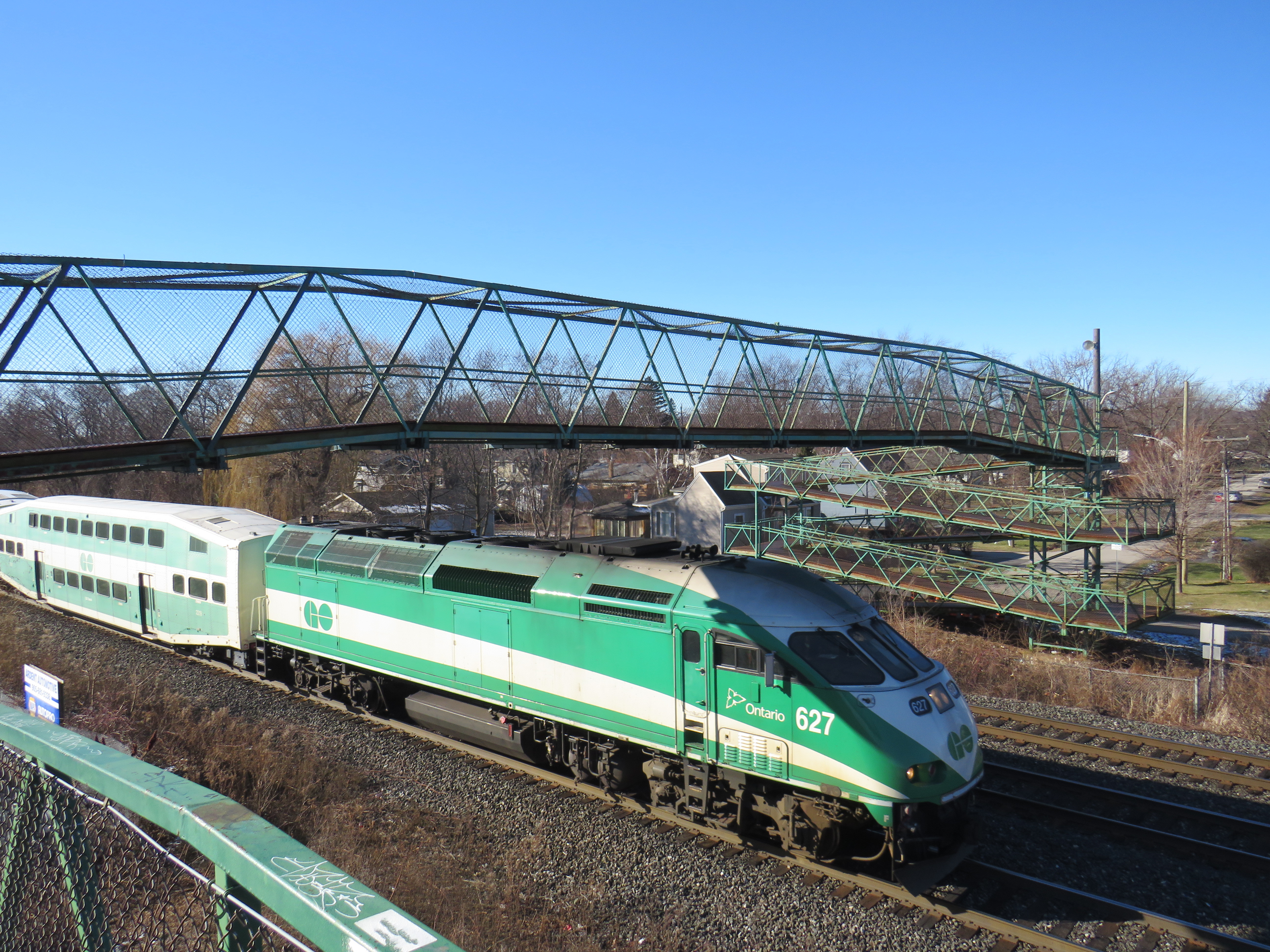
Unfortunately, the very same transit projects and rail corridor upgrades can serve to disconnect, rather than connect, communities. Too often, GO Transit lines are secured without regard to the neighbourhoods they run through, without simple and convenient crossings for pedestrians and cyclists. Where overpasses are provided, they are built in such a way that makes them more difficult than necessary to cross.
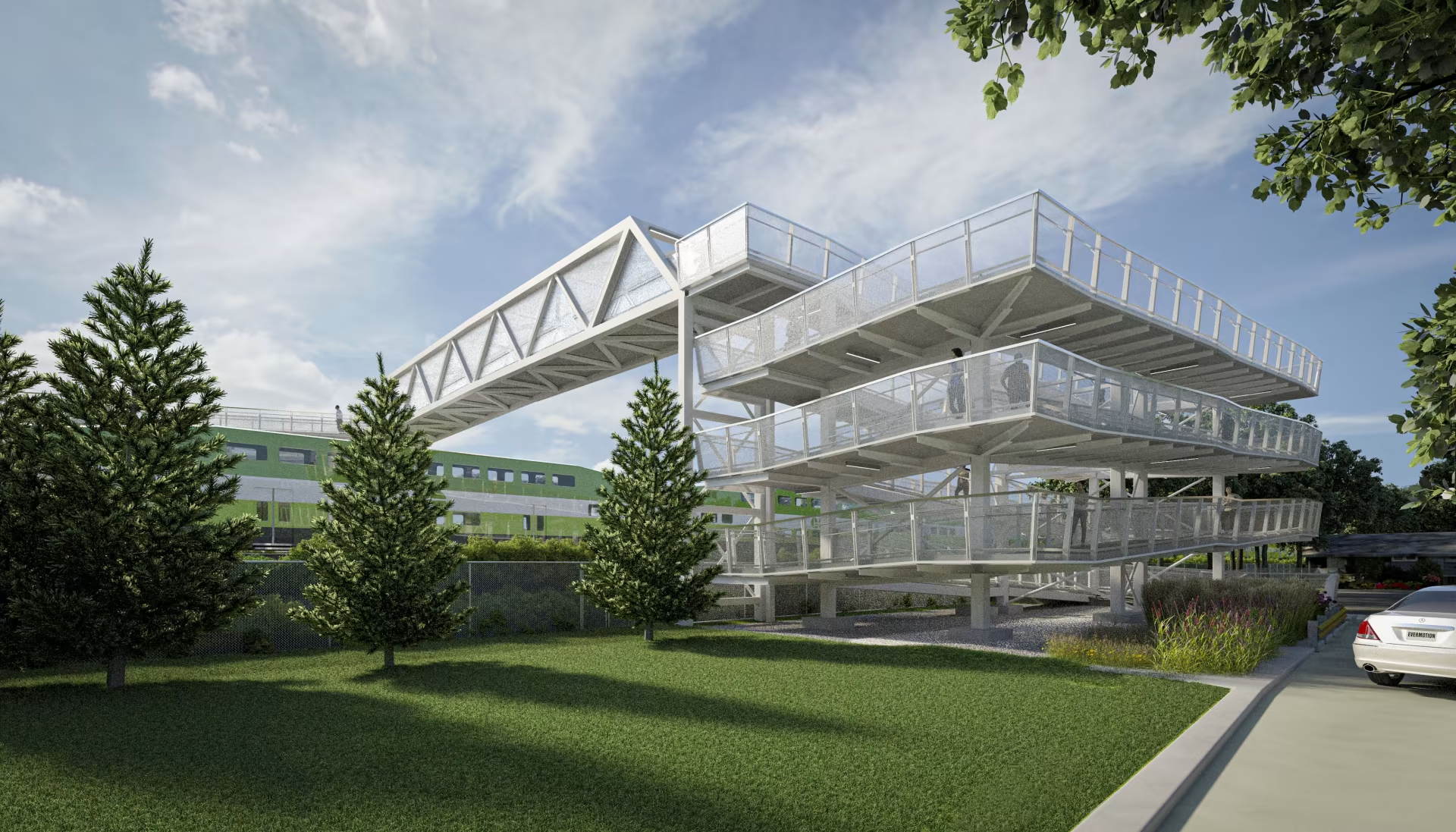
Take the example of the planned replacement of the Drury Lane pedestrian overpass in Burlington, which connects Fairview Avenue to the south and Orpha Street and a postwar residential neighbourhood to the north. With Burlington GO Station only 500 metres to the west, the pedestrian overpass provides a useful connection to GO and Burlington Transit services as well as (the station’s north end is poorly connected to the Orpha Street area, it is primarily a motor vehicle access to a large parking structure). Drury Lane continues south of Fairview Street towards Burlington’s Central Park, the city’s main library branch, and leads towards the waterfront and downtown core. Unlike Brant Street, Fairview Street, or Guelph Line, Drury Lane is relatively quiet, with painted cycle lanes.
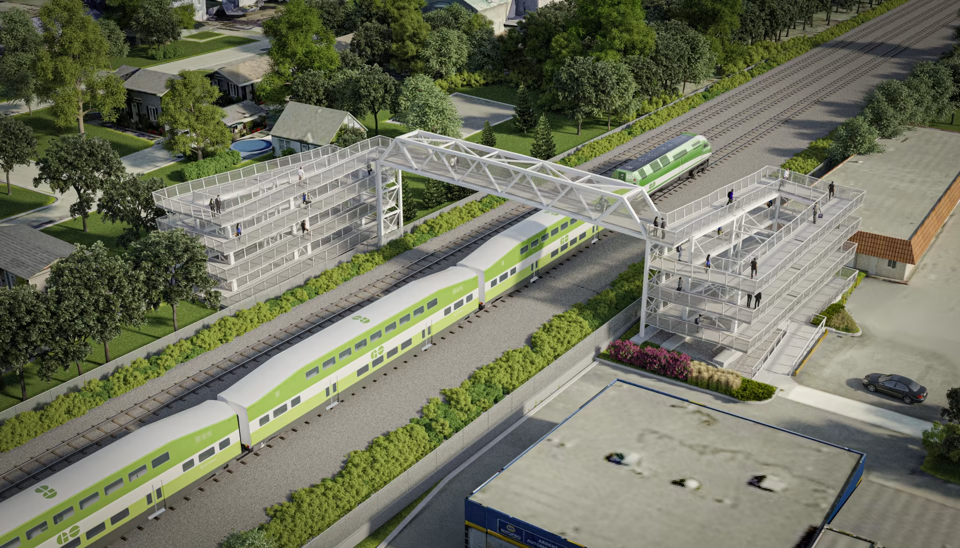
The new overpass, replacing the existing 50-year-old structure, will be taller, with longer approach ramps. Metrolinx touts the improved accessibility of the new bridge, even though it will add more time to travel times with an extra ramp segment on each end. No stairs are provided to provide a short-cut for those able to navigate steps.
The new bridge’s increased height will provide additional clearance for the planned electrification of the Lakeshore West rail corridor.
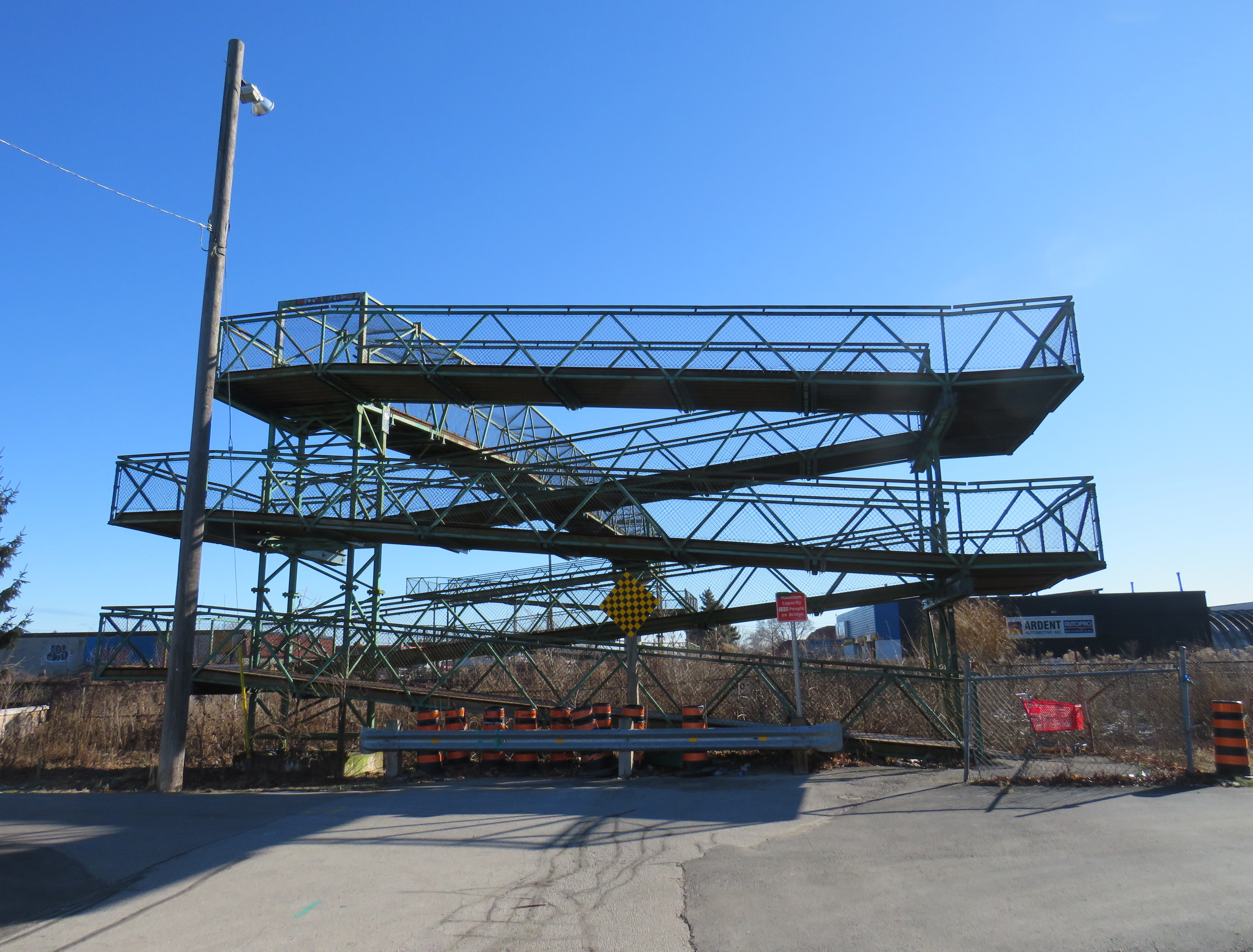
A simpler solution would have to build an underpass, which would require a much shorter vertical route for pedestrians and cyclists. Indeed, the rails are on a slight embankment above street level already. A wide, well-lit underpass would improve accessibility; in fact, pedestrian underpasses are provided at nearly all GO rail station where grade separations are required as they provide quicker and easier access between platforms and the station building, parking and bus stops.
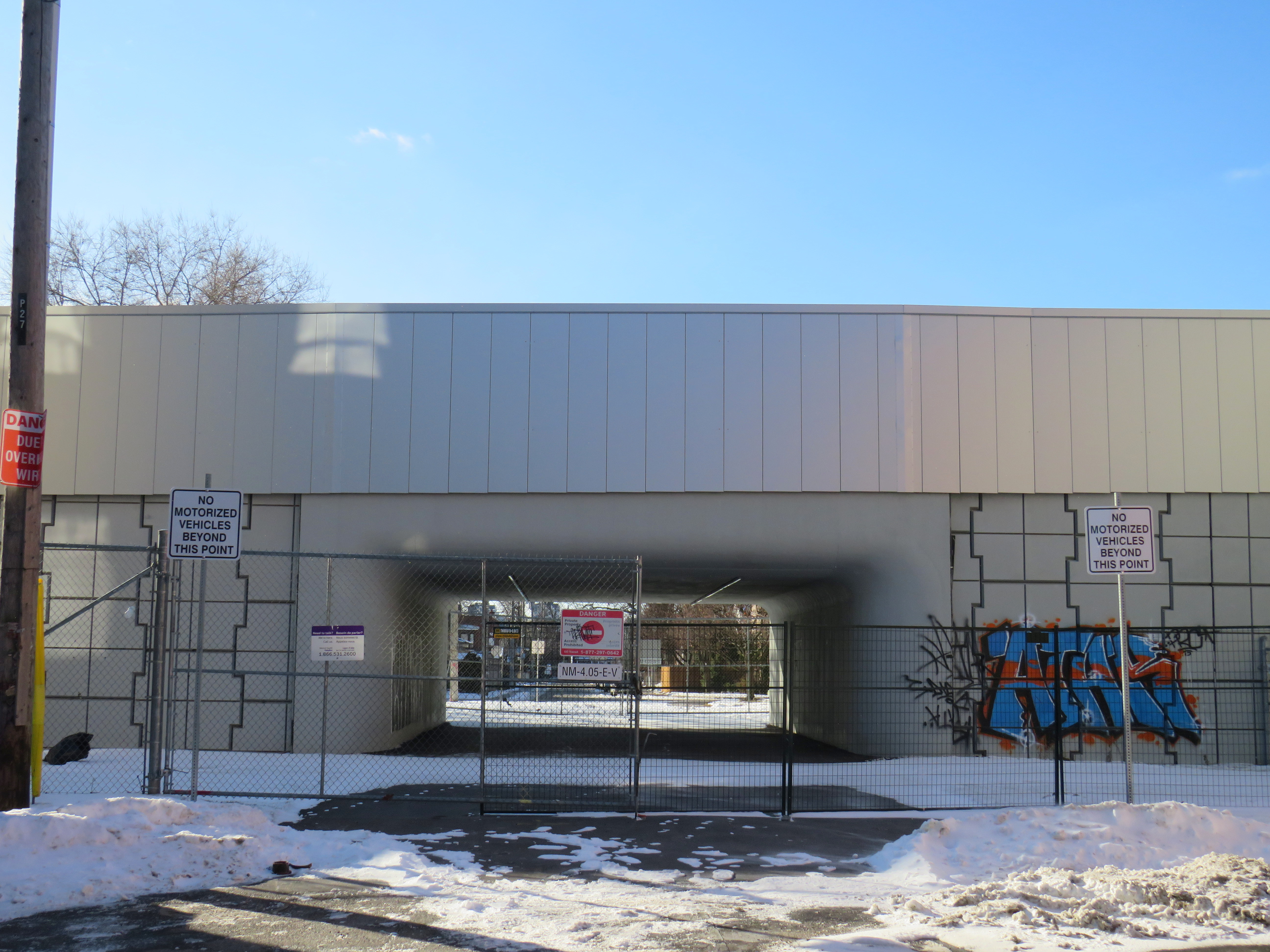
There are many other opportunities for safe and accessible pedestrian and cycling infrastructure along GO Transit corridors. The best example might be in North York, where the combination of a Metrolinx rail corridor and a twelve-lane Highway 401 make pedestrian and cyclist movement especially difficult and unsafe. At one time, it was easy (though still illegal) to cross the tracks between Floral Parkway, a residential street running east-west from Keele Street to the GO Barrie Line, to Bridgeland Road, an industrial street connecting to Caledonia Road and leading towards Yorkdale Mall.
By the late 2000s, new fencing was put up to prevent pedestrian crossings here; this was further upgraded with reinforced chainlink fences, and more recently, a noise wall. Metrolinx knew this was a popular place to cross, but instead of providing a safe route (either a signalized and gated at-grade crossing, an overpass, or an underpass), it worked only to harden its property.

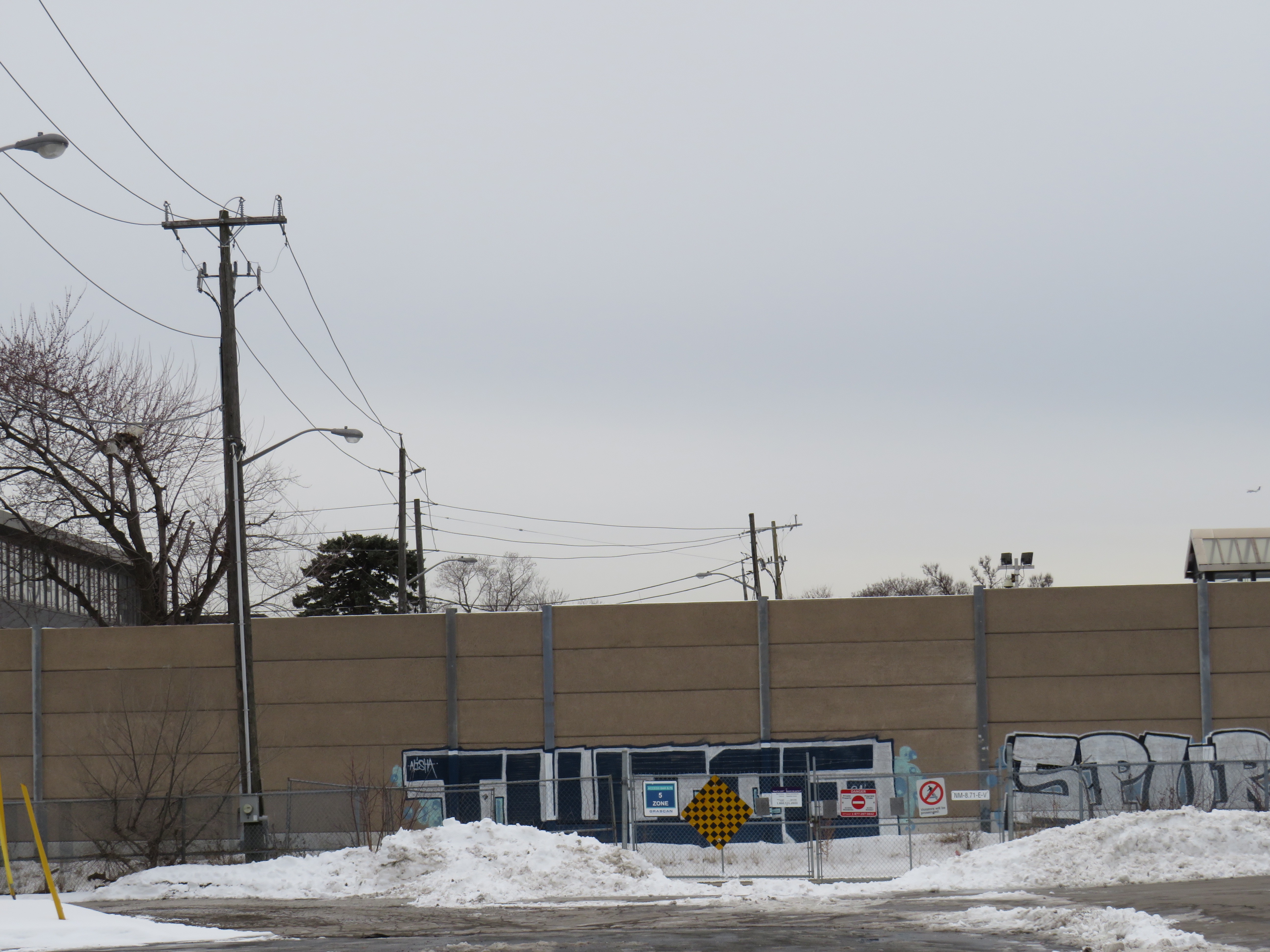
As new high-density residential development is nearing completion at Dufferin and Bridgeland on the site of an old Holiday Inn, as well as mixed-use development planned at Yorkdale Mall and a major hospital at Keele and Highway 401, there is even more of a need for sustainable, safe, active transport. The walk between Floral Parkway and Bridgeland Road is 49 minutes; the Highway 401 interchanges at Keele and Dufferin are also unsafe to navigate by foot or bicycle; fast moving traffic and narrow sidewalks make them unpleasant as well.
There are many other opportunities for improved active transport connections where railways and highways impose major barriers. There are a few good initiatives, such as new multiuse path connections in Mississauga’s Port Credit neighbourhood across the QEW and Credit River; a partnership between the Ministry of Transportation, the City of Mississauga, and the Region of Peel.
We need local and provincial officials to push for safe and accessible access across transit corridors and major highways for all users, but especially pedestrians and cyclists who are typically overlooked when these projects are planned and built.
Though transit construction is very beneficial for the region’s growth, it is still frustrating when an agency tasked with “[connecting] new, established and emerging communities across the Greater Golden Horseshoe” fails to connect the communities its transit projects run through.


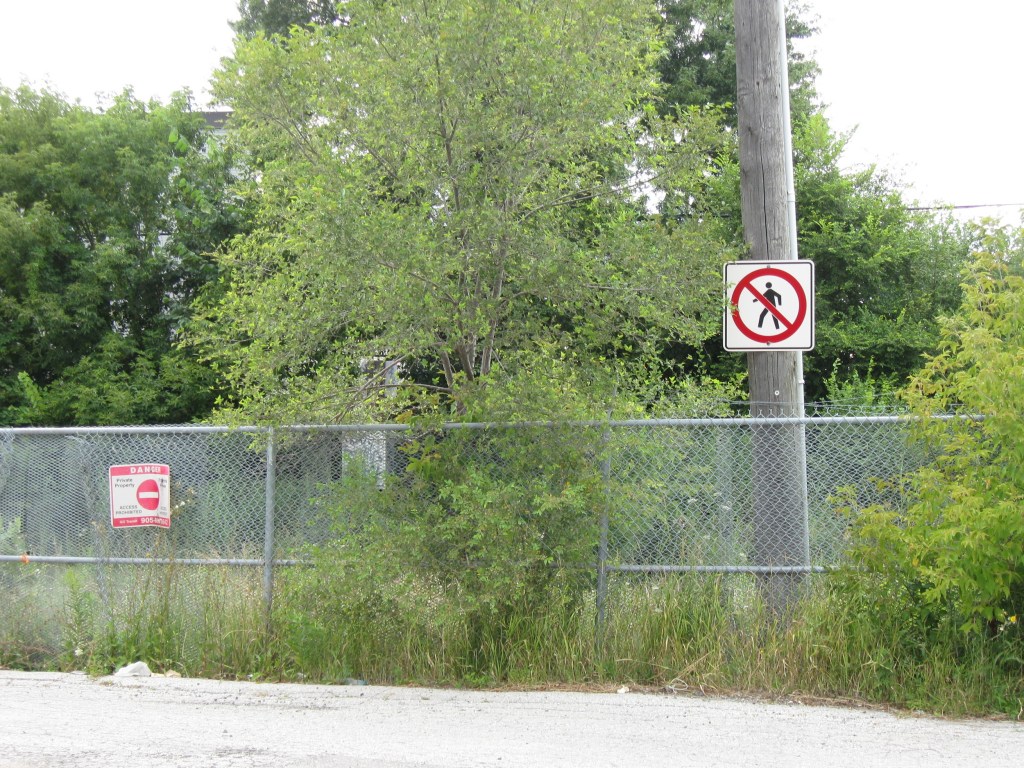
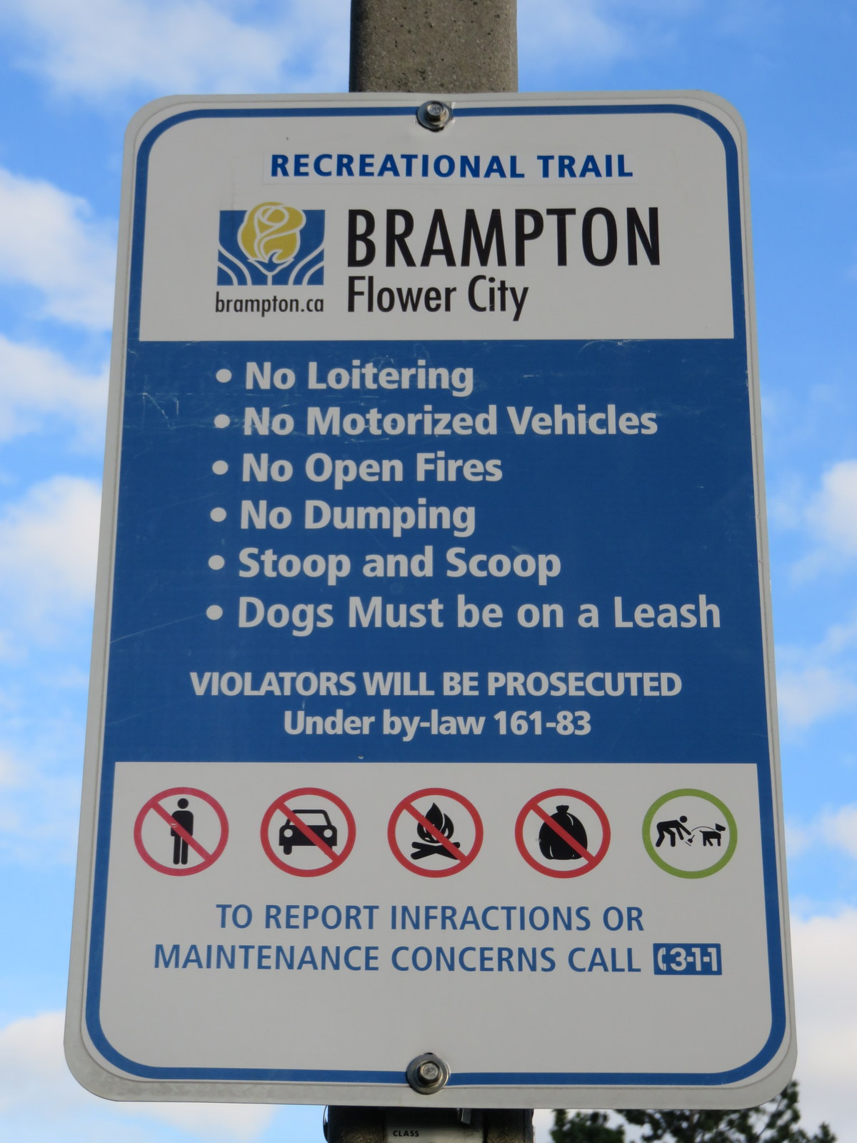 Recreational Trail: no loitering
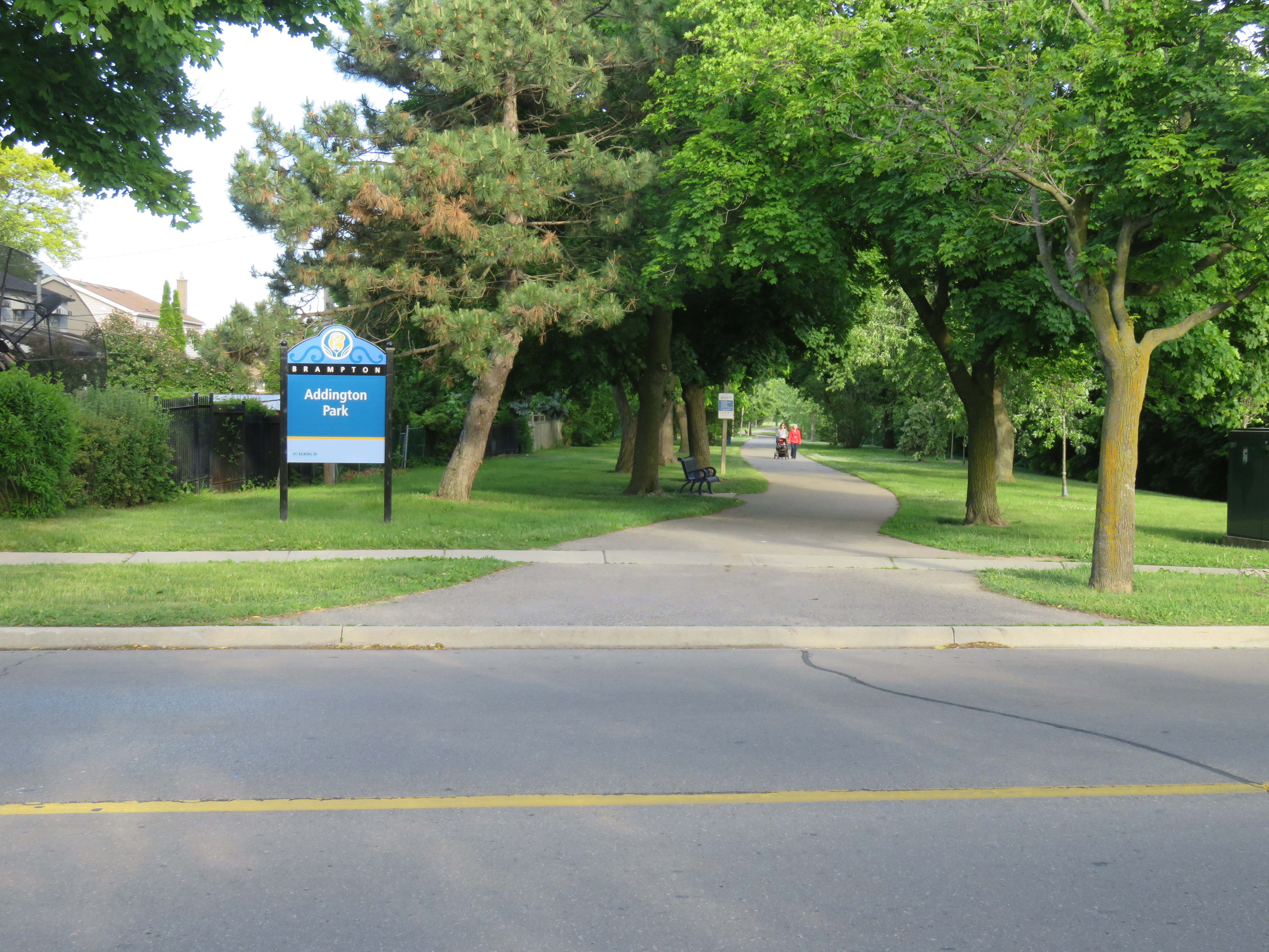 Entrance to Addington Park at Balmoral Drive, Brampton. Part of the Don Doan Trail.