Transit mapping, municipal elections, and interactive walking guides
Intercity transportation
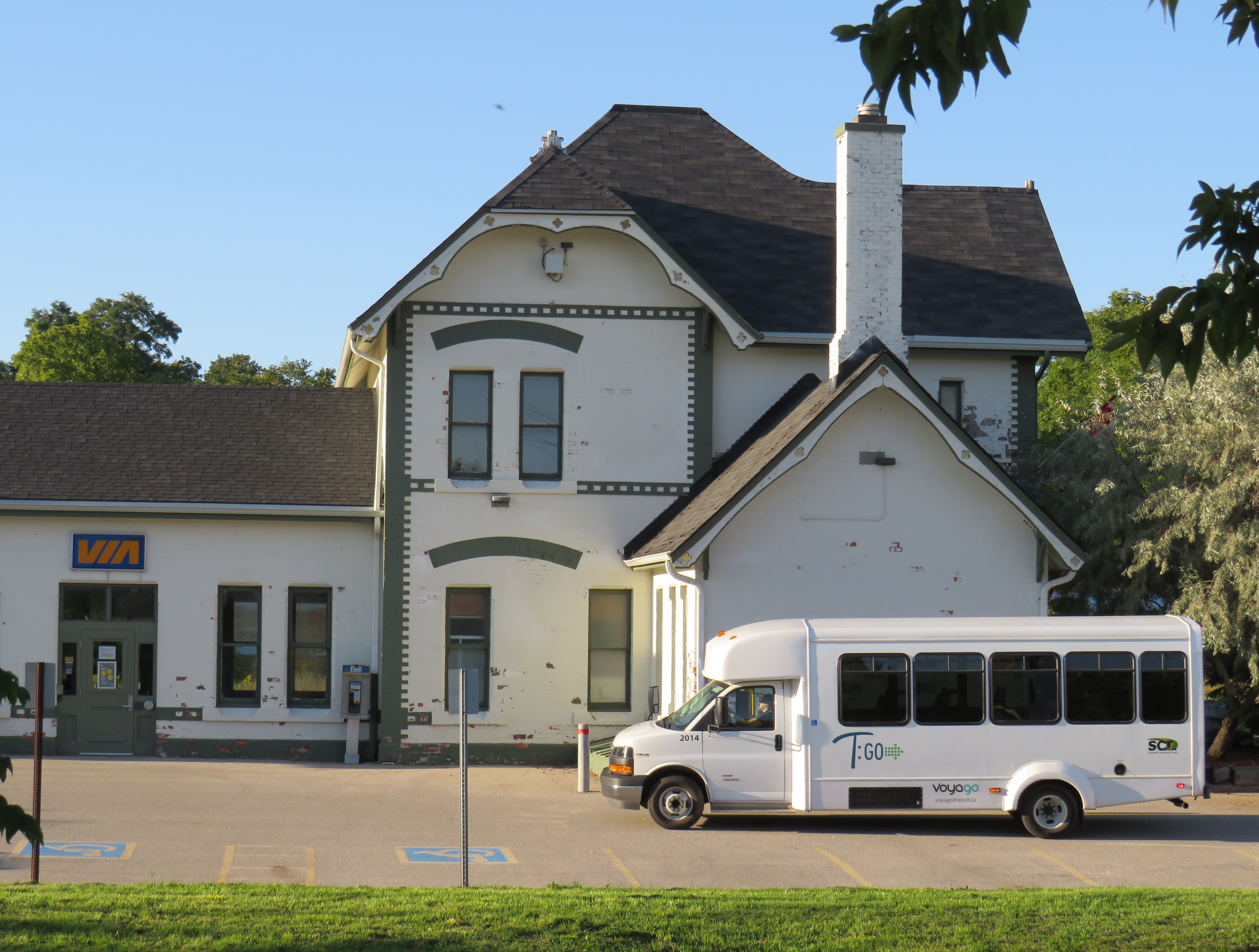
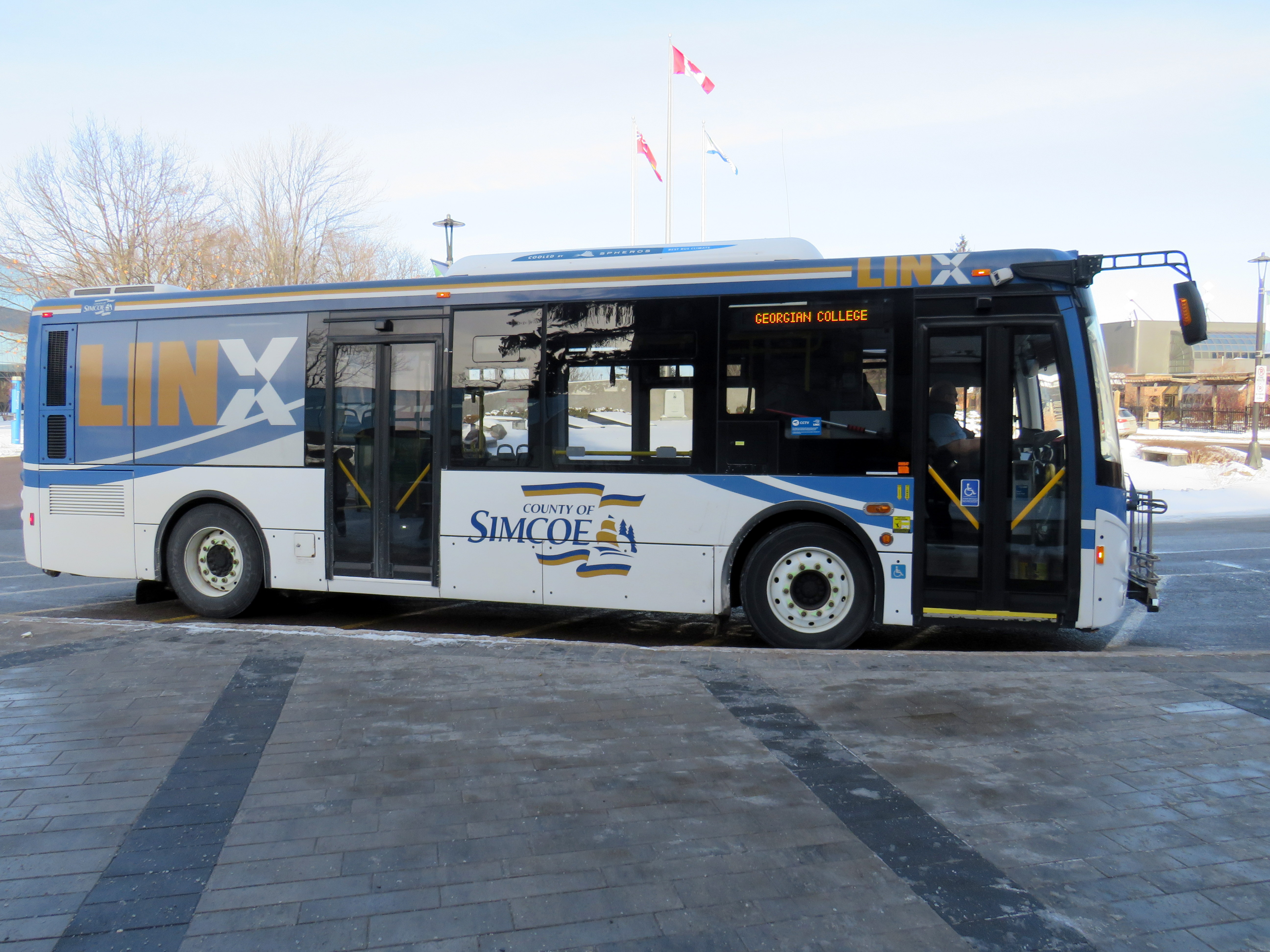
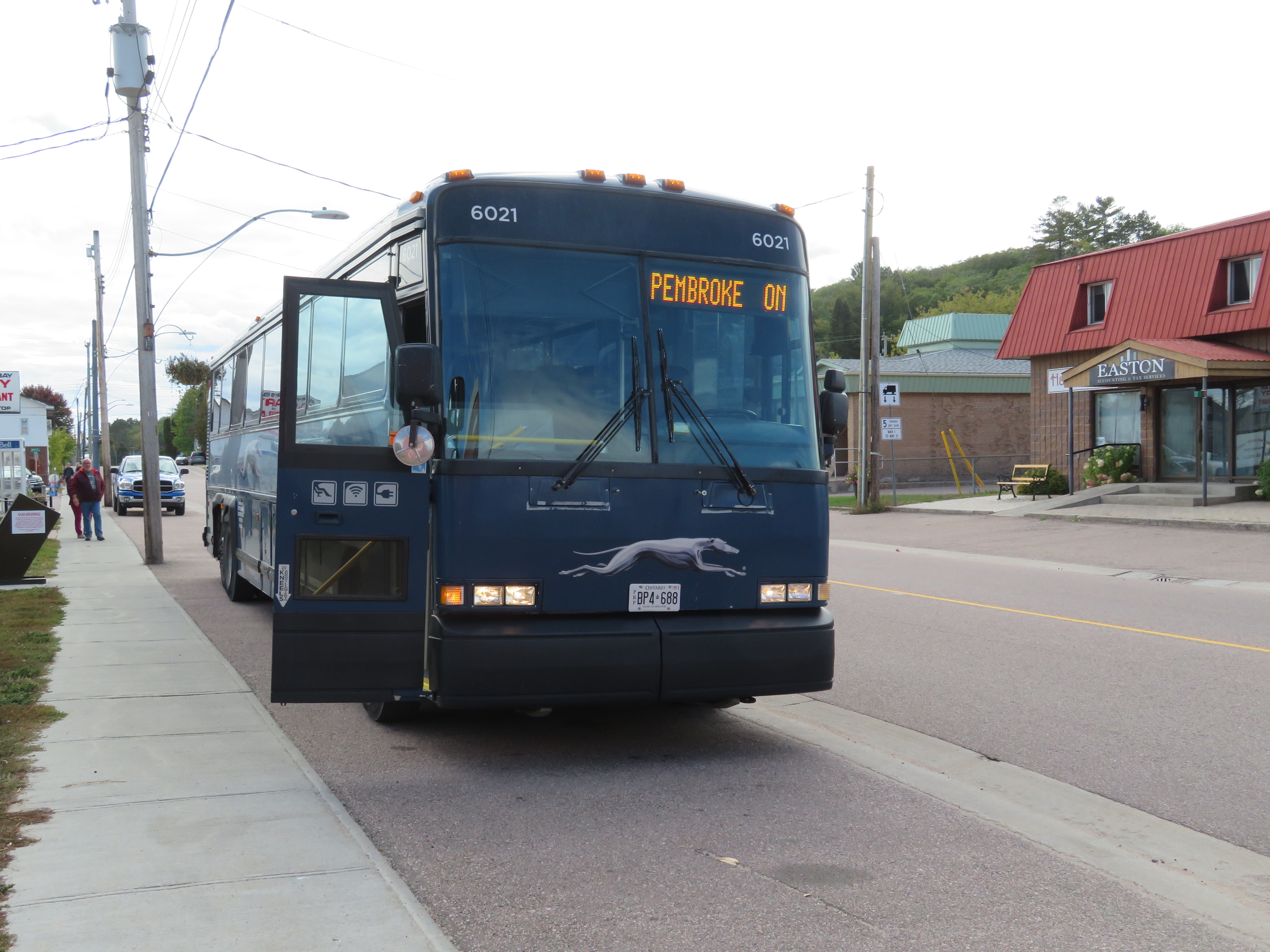
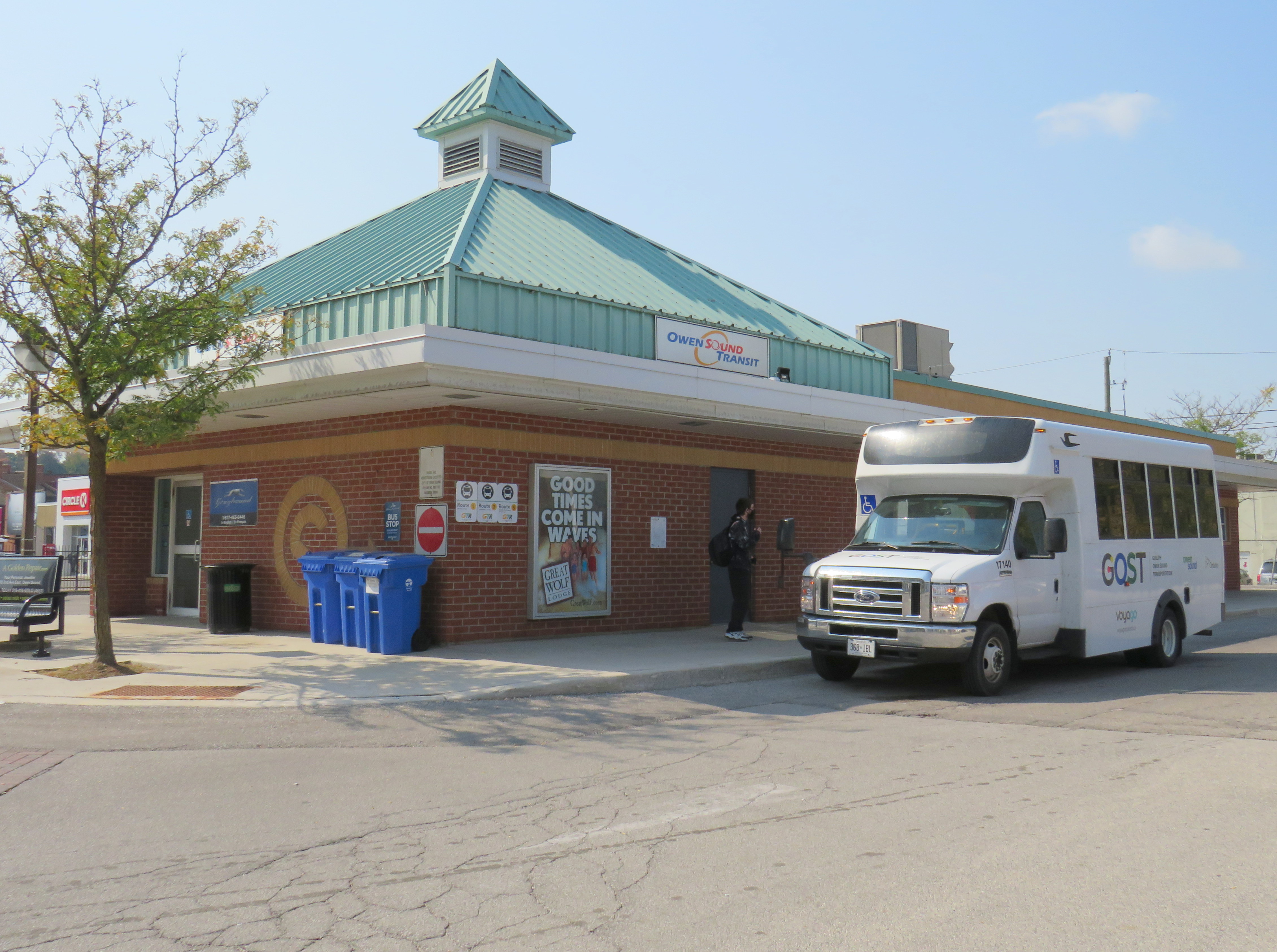
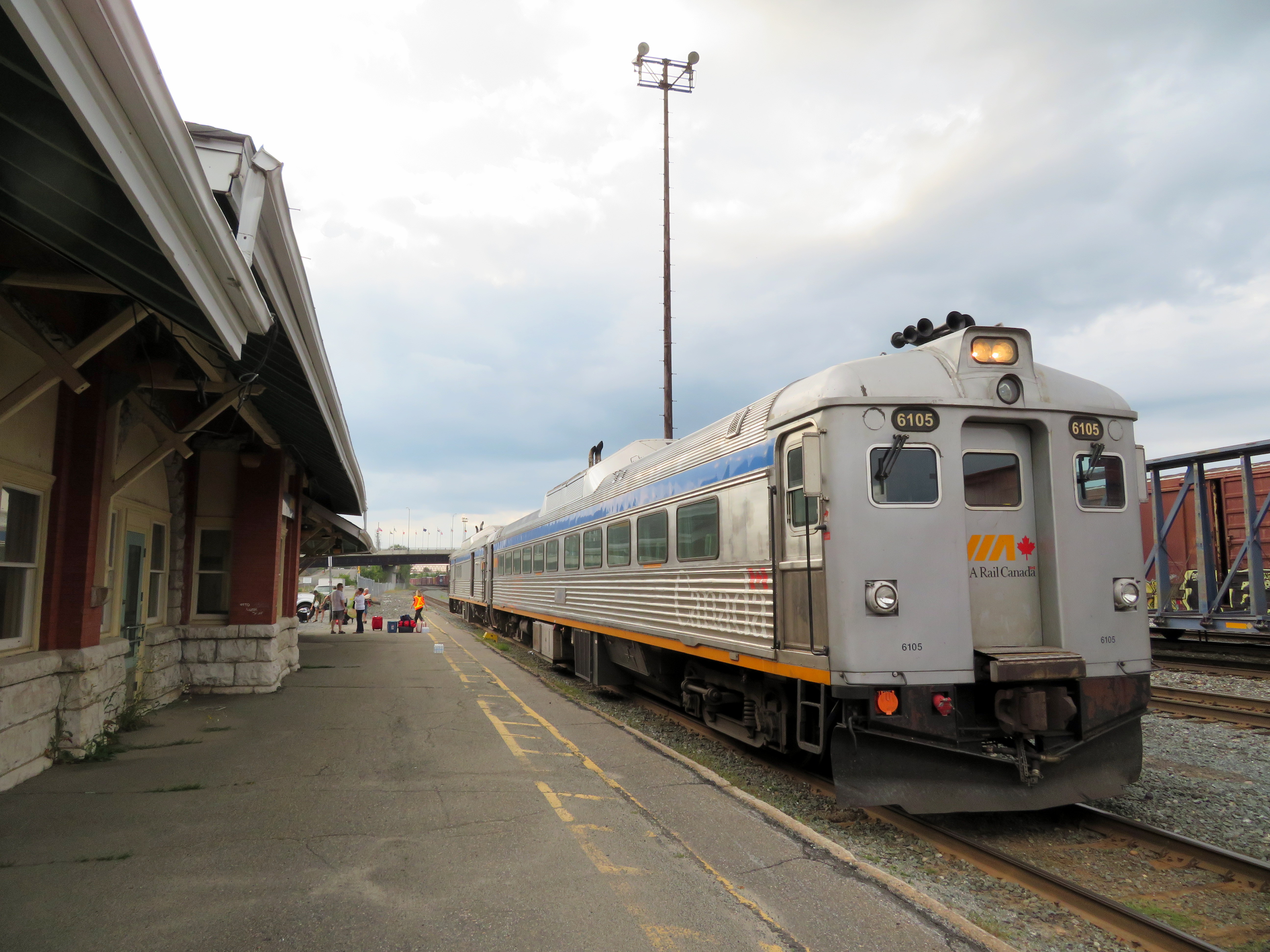
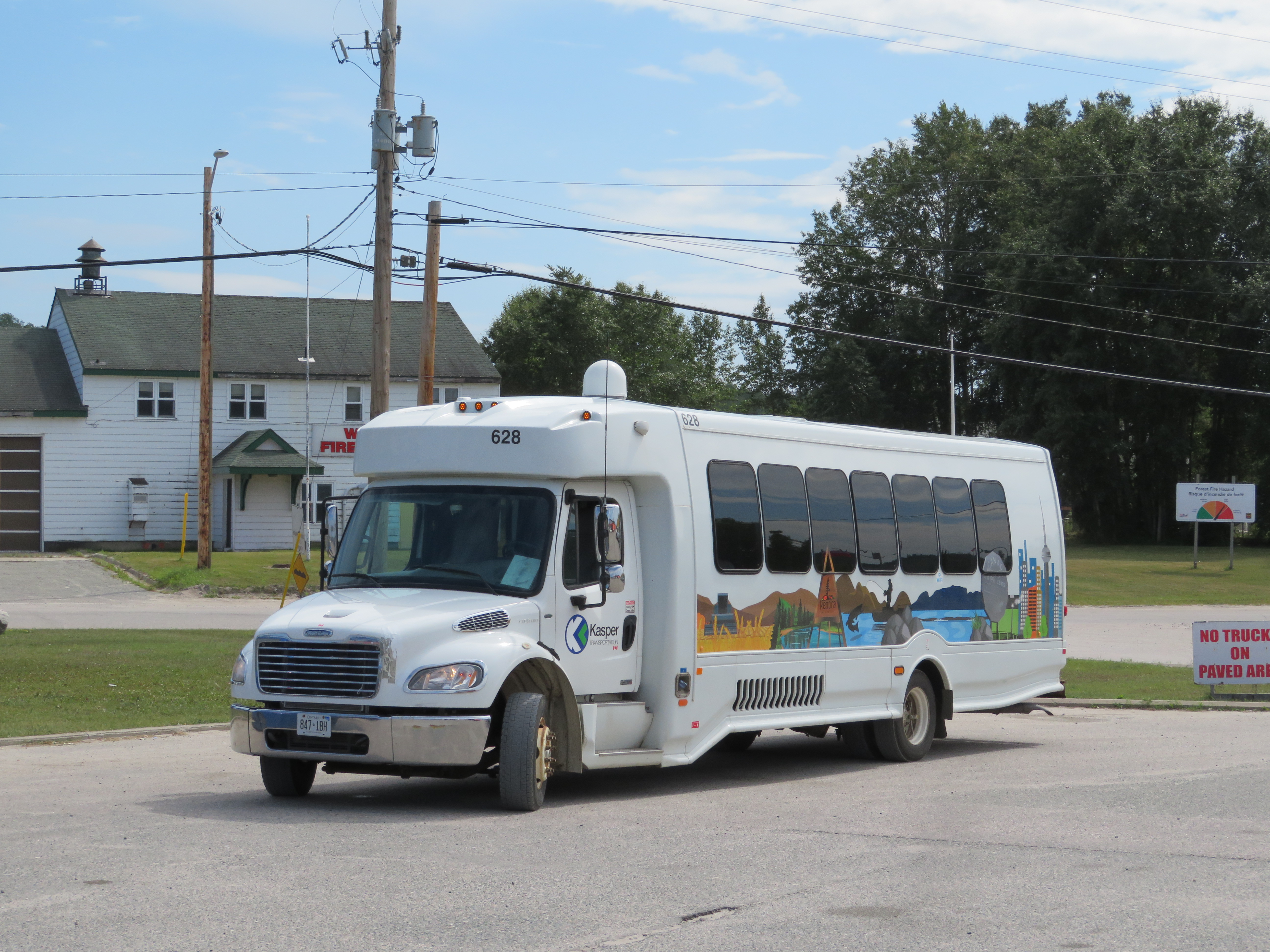
Over the last few years, I wrote several articles for TVO.org discussing the difficulties of getting around Ontario without a car, especially with the withdrawal of Greyhound and other carriers from routes across Ontario and Canada.
In 2019, I spoke at the Guelph Transit Summit about this issue, and in February, 2020, I presented at the Ontario Good Roads Association Conference.
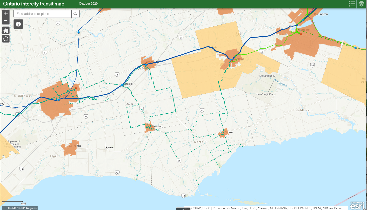
More recently, I created an interactive map depicting all of Ontario’s transit links to better depict where connections exists, and where gaps need to be filled. In 2022-2023, I completed a national intercity mapping project for Infrastructure Canada.
You can find an updated interactive map of all intercity transportation links in Canada here.
Municipal elections and voting analysis
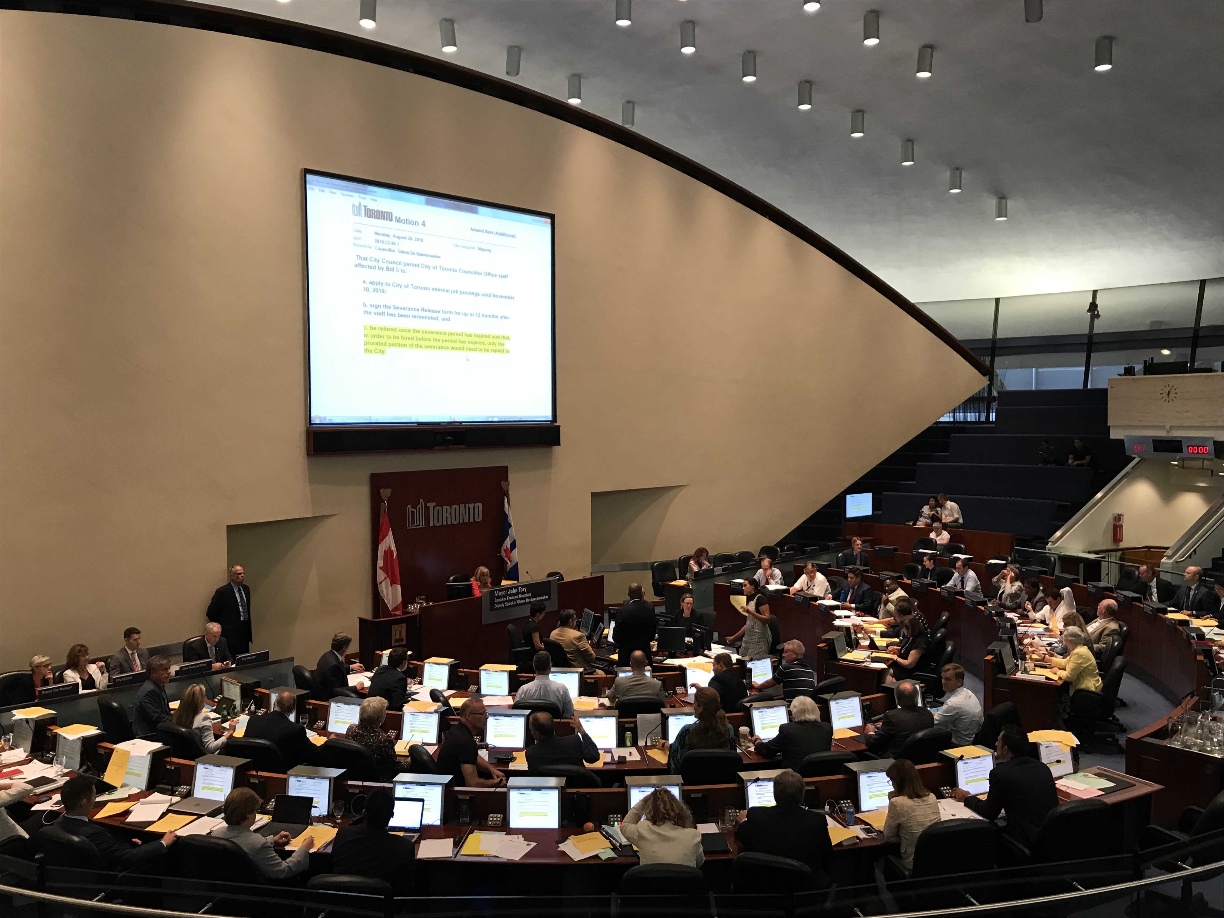
I have long been interested in the mechanics of municipal elections, analyzing results, and helping to determine who votes — and who doesn’t vote — in Toronto’s municipal elections.
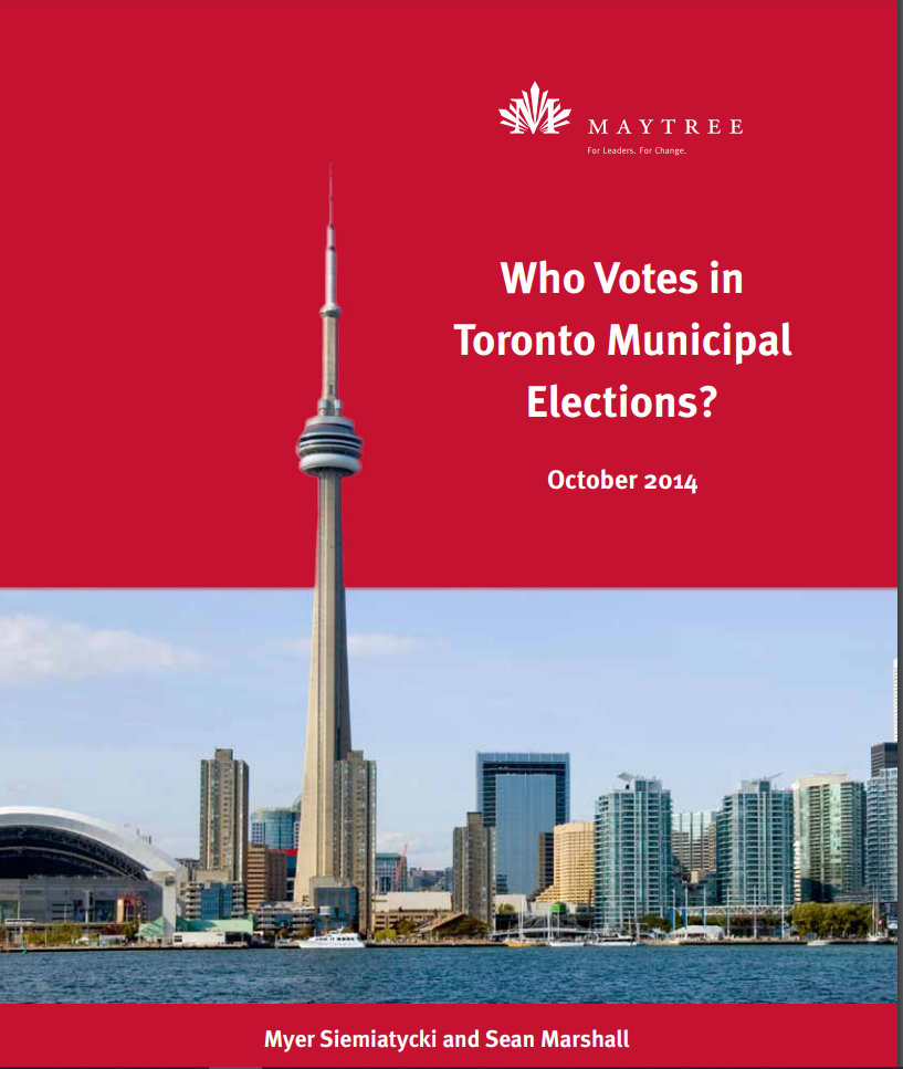
On this website, I have mapped the results of Toronto’s 2014 and 2018 elections. With Myer Siemiatycki at Ryerson University, I examined voter turnout at the local level for a report published by the Maytree Foundation.

Active transportation advocacy and interactive walking maps
A co-founder of Walk Toronto and with previous experience in injury prevention research, I advocate for safer roadways and seek to inspire others to walk for pleasure.
I am now combining my passion and expertise to develop new online interactive walking guides to support neighbourhoods and local businesses.