Marshall’s Musings

  • Up in the air

    Biidaasaige Park at Ookwemin Minising, Saturday, July 25 2026

    During the late evening of Friday, July 24, the federal government announced that it would not proceed with a proposal to expand the Toronto Island Airport (officially Billy Bishop Toronto City Airport) to accommodate additional traffic and commercial jet aircraft. This secretive plan, developed by the Toronto Port Authority and Neuport Aviation, was championed by Doug Ford’s provincial government, which did all it could to push it though. The province moved to expropriate the City of Toronto’s lands on and surrounding the airport and forced it to give up its say in a tripartite agreement that governs the airport operations. It also invoked new powers under Bill 5 to declare it a “special economic zone” to get around environmental regulations and required consultations.

    The federal government, headed by Mark Carney, did not object, with the minister of transportation, Steven MacKinnon, expressing that government’s interest in the plan. The province claimed the airport expansion could contribute up to $8.5 billion annually to the economy by 2050, with passenger traffic quintupling from two million to ten million travellers. The east-west runway would have to be extended westward by 900 metres, adjacent to Ontario Place. The expanded marine exclusion zone would disrupt recreational activity in the Toronto Harbour and Lake Ontario and especially impact Hanlan’s Point.

    Map by Waterfront For All showing concept of runway expansion required for jet traffic, with runway extending west by 900 metres, along with larger safety zones, marine exclusion zones, and approach lights. (Source of map)

    As part of what seemed to be a window-dressing exercise, Transport Canada opened up an online public survey in June to gather feedback, though the survey questions were written with a pro-expansion slant, touting “economic benefits for Canada” in the preamble. This was despite the lack of previous public input or even a detailed business case open to scrutiny and reasoned debate. It seemed as if the fix was in.

    But to much surprise and relief, citing the overwhelmingly negative survey responses (of 87,000 responses, 87 percent opposed airport expansion; 80 percent of the total responses were from within the City of Toronto), the federal government kiboshed the expansion plan, allowing only already approved minor extensions for safety improvements. Perhaps the Liberals were worried about upcoming byelections (including one in Beaches-East York) or maybe enough Toronto MPs felt the pressure from their constituents spoke up. But it was the right thing to do, given the expected effects on noise, air, and water pollution, traffic and land constraints at the main airport entrance off Queen’s Quay, and the impact on Waterfront Toronto’s inspiring Ookwemin Minising project on the eastern harbourfront.

    Statement from federal transport minister Steven MacKinnon

    Visiting the new western section of Biidassiage Park on Saturday – the morning after the federal announcement, was especially sweet. Waterfront Toronto has shown time and time again that it has the expertise and capacity for building quality public spaces on this city’s waterfront, along with guiding new residential and commercial development to go along with it. Egrets, killdeer, ducks, cormorants, and herons have already made this space home. Public art, play structures, and homages to the industrial past anchored by a huge shipping crane come together in a place that has some of the best views of the downtown skyline. To the northeast, a new highrise community is being planned that will be fully integrated with the completed public spaces; the envisioned community would find itself compromised by the approaches required for larger jet aircraft.

    The Q400s taking off overhead were loud enough; even smaller commercial jets will require lower approaches over Toronto Harbour

    After spending some time in this amazing space, part of a larger re-naturalization and flood control project at the bottom of the Don River, one could imagine larger jet aircraft landing every few minutes and how much it would effect these lands; the Q400s were loud enough, especially when reverse thrusting upon landing; noise carries a long way upon the flat water in the sheltered harbour. As most downtown residents don’t have access to Muskoka lakefront cottages, these sorts of spaces are critical for a thriving city and healthy living.

    Sadly, the backlash from the federal government’s decision not to support the provincial plan came harsh from the province and from politically powerful business groups and at least one Canadian tech billionaire. Ontario Transport Minister Prabmeet Sarkaria claimed the federal government conceded to “fringe groups” in rejecting the Ford government’s jet ambitions. The province, claiming there was a quid pro quo in which it would support the Alto high speed rail project if the province backed the island airport expansion, is now letting its rural Eastern Ontario caucus members openly oppose the rail plan.

    The Toronto Region Board of Trade also came out against the federal government’s decision, with chair Giles Gherson calling the airport a “hugely valuable as a business asset” and worried that without the runway expansion, the airport is on “borrowed time.” No facts or figures were cited in his lament to local news media; they were also absent in an op-ed published in March 2026. It is doubtful, that a regional airport with limited destinations makes-or-breaks business decisions whether to locate to Toronto, especially when there is now a frequent airport rail link to Pearson that will eventually be electrified and expanded. Any capacity lost with a potential closure of the island airport can be easily absorbed at Pearson or other facilities, such as Hamilton International or Waterloo Regional airports.

    On Elon Musk’s toxic social media site, Shopify co-founder and CEO Tobias Lütke had a bit of a breakdown. He called the overwhelming opposition “retired, unemployed, unemployable and useful idiots [sic].” As a billionaire, Lütke doesn’t have to fly commercial, but can travel by private jet. Perhaps he, and other members of the business elite were upset that their personal jets would continue to have to use Pearson. The same weekend, Lütke backed the idea that voting rights should be tied to income.

    Tobias Lütke on X on July 25

    One could argue that the airport backers are so upset because they saw this push as the best chance to finally expand the island airport for jet traffic, after two previous fights in 2003 and 2014. There was a pro-business premier with a vindictive streak against the City of Toronto, a banker prime minister whose economic polices have promoted oil and gas and AI development and looking for “nation-building” industrial projects to support, and a well-intentioned but very conciliatory mayor.

    That window is now closed. I doubt this ends the decades-long debate on the airport’s future, but it does provide some relief, even some mild satisfaction that the very small percentage of people who are used to getting everything they want from government can still sometimes lose.

  • Where’s the outrage when pedestrians are killed?

    Birchmount Road and Lawrence Avenue East, Scarborough

    On Friday, July 10, the driver of a westbound Toyota RAV4 SUV drove through a red light on Lawrence Avenue East and struck another vehicle travelling south on Birchmount Avenue. The SUV continued forward, mounting the sidewalk where two pedestrians were standing, and then hit a traffic signal pole. The pole, as designed, fell to the ground. The two pedestrians — a 64-year-old man and a 61-year-old woman — were killed. The drivers of both vehicles — as well as two passengers in the RAV4 — were taken to hospital with “non-life-threatening injuries.” Nearly two weeks later, there have been no updates from the Toronto Police or any news outlet letting the public know of any charges laid; there is not even any mention of who the two dead victims were.

    As it’s just another “accident,” society shrugs and continues on.

    Roadside memorial to two dead pedestrians, with a pylon covering the base of the fallen traffic pole

    A day later, just after 8PM on Saturday, July 11, two people were shot dead on St. Clair Avenue West during the Salsa on St. Clair street festival, and four more were injured. This was not a random shooting, but a violent gunfight where the assailants and those killed knew each other. There were many thousands attending the popular street festival that evening; many of those attending fled fearing for their safety.

    Elected leaders from all three levels of government were quick to denounce the violence, and Toronto Police, to its credit, refused to hyperbolize the general risk to the public. Chief Myron Demkiw reminded Torontonians that “shootings are down over 26 per cent compared to the same time last year,” followed by the recognition that such violence “…understandably shakes the sense of safety and security that Torontonians expect and deserve.”

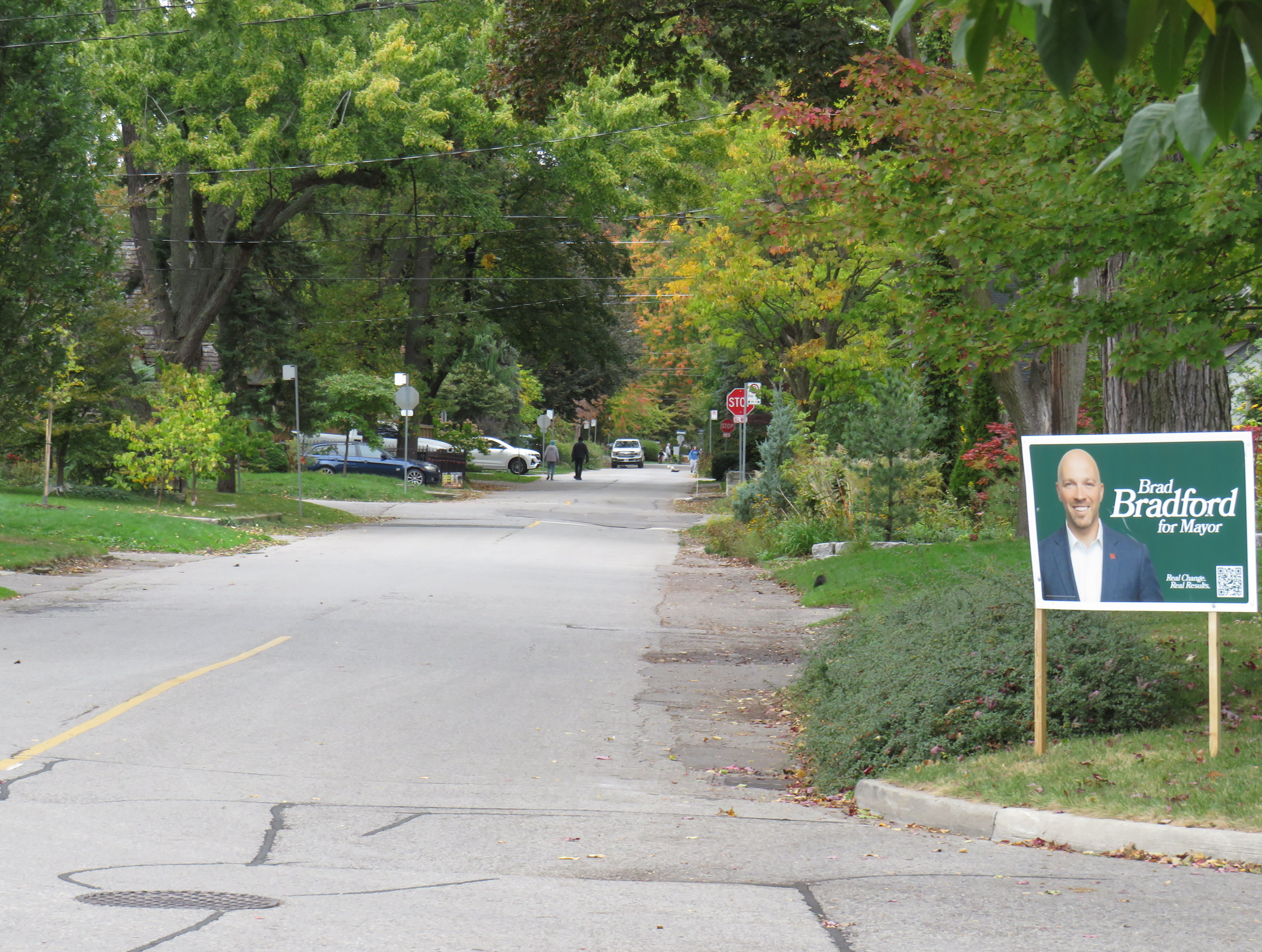
    However, there are those whose agendas are not served by nuanced remarks like Chief Demkiw’s. Second-time mayoral candidate Brad Bradford was quick to blast senior police officials, saying it was “wrong to call Toronto a safe city.” Bradford followed with his preferred response from police which “…is to say ‘No. No more. Not now, not ever.’” For someone running on a right-wing reactionary platform, such a response would have been much more helpful against an incumbent mayor.

    It’s understandable that the St. Clair shooting has gotten lots of attention from the police, news media, and politicians. Despite a continuing decline in violent crime and Toronto’s well-deserved reputation as a safe city, brazen gun violence is frightening, especially in a crowded area where there are thousands enjoying a summer evening. People want to be safe and feel safe while outside their homes. But that also means being able to walk without fear of being struck and killed by a motorist, even when on a sidewalk.

    For intermittent street festivals, parades, and temporary pedestrian malls, a lot of attention is already placed on security, especially after recent vehicle attacks. Portable car traps keep vehicles out, while paid duty police and security guards keep watch at intersections and places in between. But we also do very little to protect pedestrians and other road users from dangerous driving. Doug Ford’s provincial government, working against Toronto and other municipalities, moved against bike lane installation (protected bike lanes that serve as a buffer between motor traffic and sidewalks) and speed enforcement cameras, which were working to reduce drivers’ speeds.

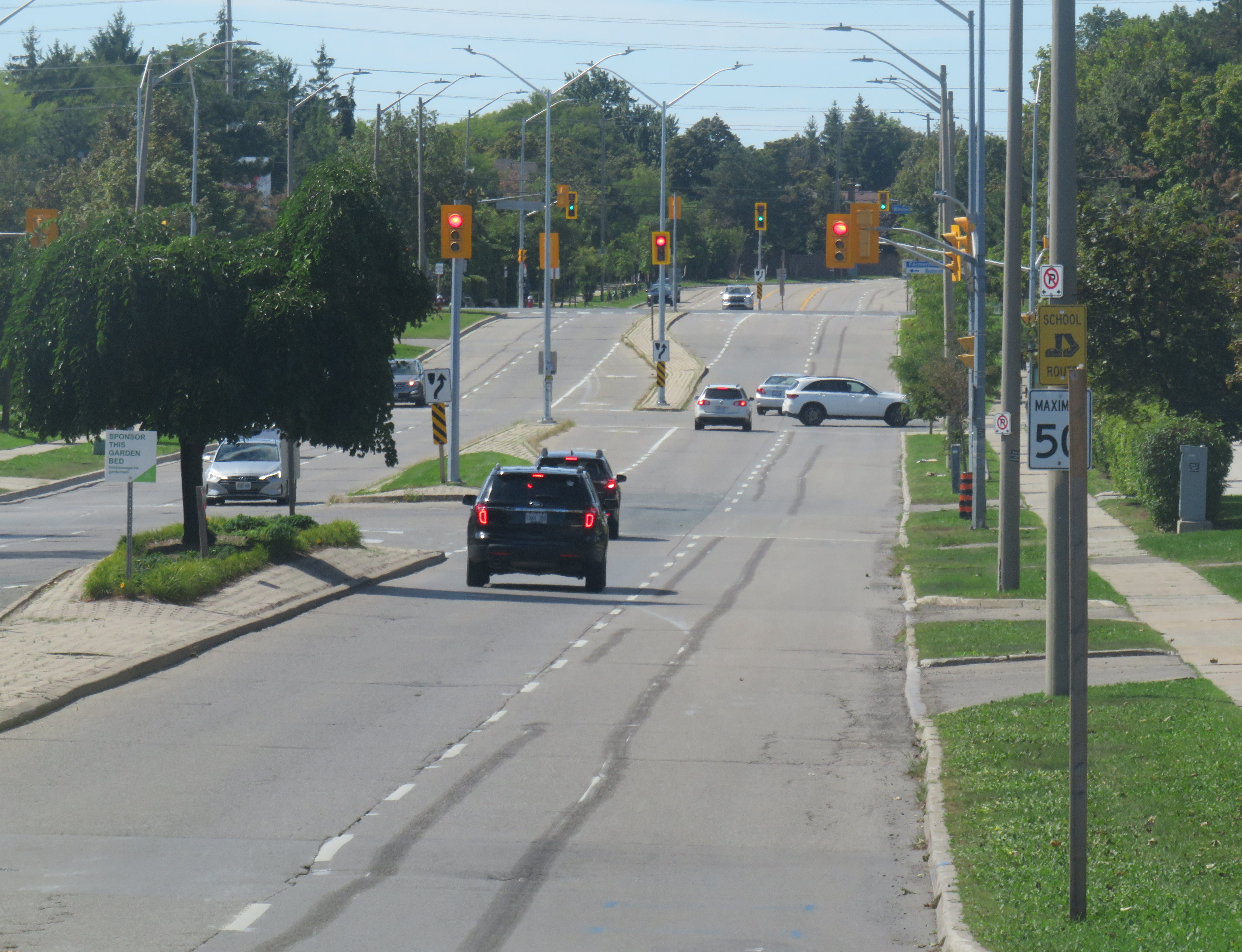
    Drivers speeding through a red light on seven-lane Lawrence Avenue East at Birchmount Road. Note the temporary replacement traffic signal affixed to the median pole on the far side of the street.

    As a society, we are horrified by gun violence, but generally give scant attention to deaths on our roads that result from motorists’ choices. No councillor, mayor, premier, or prime minister spoke out when two bystanders were killed in Scarborough. Their names have still not been released. There’s no follow up to the police investigation, and it has so far merited just one story in the Toronto Star, CBC Toronto, and CP24.

    That is a tragedy in itself.

  • Intercity map updates for July 2026

    Extensions to Montreal’s REM has resulted in some regional route changes in the Montreal area

    In time for summer, I have updated my Canada Intercity Transportation Map to include new connections and revisions. The only major changes to the intercity coach layer are new routes operated for Flixbus, including new seasonal routes from Toronto to North Bay and Prince Edward County.

    In Quebec, the opening of the Deux-Montagnes and Anse-à-l’Orme branches of the REM in Greater Montreal resulted in several long-distance Exo regional bus lines cut back or replaced in favour of local bus routes feeding into the new regional rail service. Therefore, I have decided to remove Exo bus routes from the map where they exist entirely within one or two urban transit zones, being consistent with the municipal transit agencies surrounding Toronto. However, long-distance express routes and routes that serve Montreal’s outer periphery will remain on the map as part of the regional route layers.

    In addition, I have also included a few new and previously overlooked services operated by the MRCs (municipalités régionale de comté), including taxibus service areas, which operate similarly to on-demand transit elsewhere in Canada, but have posted stops and semi-fixed schedules; many of these require preregistration before reserving a ride. Where taxibus services operate, I have opted to include those as on-demand, rather than fixed route lines to be consistent across Canada. Only on-demand and taxibus services that are open to the general public are included in the map.

    Onex Bus changed its schedules recently, eliminating most departures from Brampton Gateway

    Mapping smaller intercity coach operators continues to be challenge, as deregulation in Ontario and Western Canada and online ticketing have made it harder to track changes in schedules and stop locations, though I have noted some changes with Onex Bus’ schedules, which ended most trips to and from Brampton Gateway Terminal at Main and Steeles earlier this year.

    Previously, carriers like Greyhound would publish detailed schedules that were valid for at least a few months at a time, including holiday and school break special runs; Ontario Northland and Quebec-based carriers (where provincial regulation remains in force) at least maintain consistent schedules. As it is much harder to track this industry — with no central database — I always appreciate the contributions website visitors provide by email or social media. I thank everyone who has helped so far.

    You can visit the updated map here.


    Unfortunately, the costs of maintaining this website and the ArcGIS Online portal to my maps continue to riseHowever, I am committed to provide an ad-free, paywall-free resource. If you enjoy my work, please consider buying me a coffee to help with those costs. Thank you!

  • Why an Oshawa gondola should be a no-go

    Looking north on Simcoe Street, July 2026

    On June 30, 2026, the Toronto Star featured a story about the City of Oshawa’s “lofty plan” to build a new urban aerial gondola system above Simcoe Street, that community’s main north-south corridor. While the technology is novel, it is a fundamentally bad idea for what the regional government proposes it for. Simcoe Street is currently served by the busiest bus route in Durham Region – Route 901 Pulse – as well as several GO Transit buses (routes 52, 56, and 92).

    Gondolas have their place in the urban transit toolbox and they have several advantages. They can be inexpensive to build, as they require minimal right-of-way acquisition and do not require tunnelling. They are adept for climbing steep hills and can offer very frequent service with low operating costs. Gondolas can operate in all sorts of weather conditions, from tropical cities to mountain ski resorts. Modern gondola or cable lift operations allow each car to slow or stop at each station to allow passengers to comfortably board and alight, unlike older, traditional ski lifts. The technology is popular in Latin American cities such as Medellín, Colombia (where the Metrocable system feeds that city’s metro), and La Paz, Bolivia, where a network of Mi Teleférico lines makes up the backbone of the transit service.

    Metrocable, by FABIAN KRONENBERGER, on Flickr (CC BY-ND 2.0)

    But in those hilly cities in developing countries, the gondolas cover short distances (only between two and five stations per line) and have limited capacity (Mexico City’s Mexicable line has an hourly capacity of just 3,000 per hour). In the United States, the only transit-based aerial cable cars are the Roosevelt Island Tramway in New York and the Portland Aerial Tram, which charges a very high $9 round-trip fare to the general public. In Canada, the most serious gondola proposal would connect Simon Fraser University with the Skytrain in Burnaby, BC and be part of the Translink network. That proposal – though stalled – is logical as it involves just two stations and allows passengers to easily access the university campus located at the top of Burnaby Mountain, reducing the number of buses that have to climb that long, winding access road.

    In contrast, the idea of a gondola running over Simcoe Street in Oshawa makes very little sense, and it seems that the concept will not get beyond a consultant’s report. There are far more reasonable alternatives that merit a closer look, including simple painted bus lanes and other “BRT-lite” measures that can benefit both Durham Region Transit (DRT) and GO Transit passengers.

    Oshawa’s transit past and future

    Simcoe Street, Oshawa’s backbone, has always been the key to Oshawa’s development as an industrial centre; its future opportunities also line the corridor; good transit is essential.

    Established as a small village at the crossroads of Kingston Road and Simcoe Street (an early “colonialization road” that connected Lake Ontario with Lake Scugog), Oshawa grew as an industrial centre starting in the 1870s, when Robert McLaughlin’s carriage works moved to expanded facilities in Oshawa to be nearer the Grand Trunk Railway (GTR) and Oshawa Harbour. As more industries followed, a streetcar line, the first component of the Oshawa Railway Company (OR) was built on Simcoe Street in 1895 to connect the burgeoning downtown with the GTR station and harbour to the south. The original Simcoe Street line was built with several freight spurs to allow shippers direct rail access to their properties. Residents could take the streetcar down to Lakeview Park to relax or to beat the summer heat.

    As industry grew (the McLaughlin Carriage Works moved into automobile manufacturing starting in 1907, eventually becoming the founding component of General Motors Canada) OR built a new freight-only electric line east of Simcoe Street with direct freight yard connections with the GTR. When the Canadian Pacific and Canadian Northern Railways built new lines through the Oshawa area, the OR connected with those as well. The incomplete Toronto Eastern Railway, a failed interurban line along Kingston Road, provided some use to OR as it provided access to several customers along the TER’s completed section of track.

    Though buses replaced passenger service on the single-track Simcoe Street streetcar line in 1940, OR’s freight operations remained busy until the 1960s, with the last electric locomotive withdrawn in 1964. Oshawa’s bus service was taken over by Durham Region Transit in 2006.

    When GM opened a modern assembly complex south of the new Highway 401 in 1950, it slowly abandoned its older plants north and west of the downtown core. Its new property had direct CN and CP rail connections and no longer relied on the OR. Meanwhile, other factories such as A.G. Simpson, Duplate/Pittsburgh Plate Glass, Fittings Limited, Ontario Malleable Iron, and Pedlar People, either closed or stopped relying on rail shipments. The old OR tracks, operated by CN diesels in the last few decades, disappeared in the 1990s, replaced by the Michael Starr multi-use trail north of Highway 401. The last remnant of the Oshawa Railway, a Highway 401 overpass built in the late 1930s, was demolished in 2011.

    After OR removed its remaining downtown trackage in the 1960s, a one-way road system was implemented in Downtown Oshawa. Simcoe Street became northbound-only between Brock and Elm Streets with Centre Street taking on southbound traffic. King Street was twinned with Bond Street, which followed the disused Toronto Eastern Railway tracks. This helped to speed traffic through the downtown core.

    Many of the older industrial lands saw new uses: Most of the old GM North Plant properties are now home to apartment buildings, the Durham Regional Courthouse, and a big box retail complex anchored by Costco Wholesale. The Pedlar People plant was demolished to become a Zellers-anchored plaza on Simcoe Street South. The Ontario Malleable Iron factory became a Knob Hill Farms supermarket which operated between 1981 and 2000. That plant, now mostly demolished, is to be the site of a new GO Transit station; surrounding property, including the old PPG plant, is designated for future development.

    Facade of the old Ontario Malleable Iron factory, later Knob Hill Farms

    The construction of Highway 401 and changes to intercity rail also changed Oshawa considerably. As Toronto grew and GM’s influence began to decline, Oshawa became part of the metropolitan commutershed. CN closed the old GTR station off Simcoe Street and built a new modern station between Oshawa and Whitby in 1967, consolidating passenger service for those two communities at a single location with space for commuter parking. Though GO Transit was also established that year, its trains only went as far east as Pickering; GO bus service via Highway 401 and via Highway 2 extended the provincial agency’s reach to Oshawa until 1995, when the Lakeshore East line was fully extended to Oshawa.

    Map of Oshawa’s transit past and possible future, highlighting the old Oshawa Railway streetcar and freight tracks, connecting railways, and major Oshawa institutions. The proposed route of the gondola along Simcoe Street is highlighted in green. Click image for full size.

    With the decline of General Motors’ Canadian operations along with many of its feeder plants, Oshawa’s economy shifted towards education and government services while becoming more of a Toronto suburb rather than an independent industrial centre. The downtown hockey arena/entertainment venue, which opened as the General Motors Centre, is now named for Tribute Communities, a residential developer. Durham College’s campus, on the north end of the city, has grown and now includes Ontario Tech University. Between the campus and downtown is the main Lakeridge Health campus, which is the largest hospital in Durham Region.

    As Oshawa and its postsecondary educations have continued to grow, it is no wonder that Durham Region Transit’s 901 Simcoe Street bus – the successor to the old Oshawa Railway streetcar – is so busy and congested. But a gondola is not the right solution, either.

    Why better buses are the answer

    Typical traffic on Simcoe Street at Adelaide Avenue, near the famous Parkwood Estate and Lakeridge Hospital

    As Metrolinx starts work on the Bowmanville GO Transit expansion – which will extend the Lakeshore East rail corridor into central Oshawa and eastward into Clarington – it is replacing the Simcoe Street bridge over the CPKC tracks, a two-year project that has forced the closure of Oshawa’s main street south of downtown. Most north-south traffic now follows Ritson Road, Park Road, or Stevenson Road. Though traffic is heavier on each of those alternatives (especially on Ritson), Oshawa is coping without experiencing complete gridlock.

    Metrolinx construction on the replacement Simcoe Street Bridge

    Ideally, when the Simcoe Street bridge reopens in late 2027 or early 2028, two of its lanes could be dedicated to DRT and GO buses. These bus-only lanes can then extend northwards towards Downtown Oshawa, Lakeridge Hospital, and Durham College/Ontario Tech. As some of Oshawa’s most important destinations, such as the Oshawa Centre shopping mall and the Oshawa GO/VIA Rail station, are off Simcoe Street, buses can divert on and off the bus lanes to serve those, and other, trip generators; a gondola would not be able to do so.

    As the Bowmanville extension of the Lakeshore East GO service will see limited service (peak-direction train service during rush hours and limited off-peak runs) along with a low-speed diversion from the GO corridor to the CPKC line, many passengers connecting to GO towards Toronto would still choose to transfer at the main GO/VIA station.

    As the planned new Oshawa Centre GO Station is located on the old Malleable Iron/Knob Hill site two blocks east of Simcoe Street, a gondola would have to swing over to serve it or force a long walking transfer. Depending on how bus service on Simcoe Street is planned by DRT, buses could either divert to serve it, or a dedicated route could provide that connection.

    Portion of DRT system map centred on Downtown Oshawa (full system map available here)

    Furthermore, the former Oshawa Railway lands can be better utilized for active transportation purposes. Though the Michael Starr trail runs all the way from Lviv Boulevard (just north of Highway 401) to Taunton Road, it is treated as a recreational trail, rather than a vital transport link. At most crossings, east-west motor traffic is prioritized over pedestrians and cyclists, with “stop and dismount” signs at many trail crossings. There is also a considerable gap between Bruce Street south of Downtown Oshawa and Adelaide Street to the north, as the OR followed Bruce Street and Ritson Road to serve GM’s north plant.

    Creating a high-quality through cycling path using part of the OR/Michael Starr right-of-way and improving the existing bike lanes on Mary Street through Downtown Oshawa and extending it to Durham College/Ontario Tech can divert some DRT passengers between the future GO station, the downtown, the hospital, and the campus, and get at least a few car drivers to switch to active transport modes.

    Michael Starr Trail, built on the old OR right-of-way. Note the yellow “stop and dismount” signs.

    If built, Oshawa’s 13-kilometre, 16-station gondola line would be the longest urban aerial transit route in the world and while it might allow for the retention of four lanes of traffic on Simcoe Street, land would still be required to build the towers, stations, and maintenance facility. Buildings will still have to be demolished. The gondola’s capacity would be limited. The estimated $1.1 billion spent on gondola towers, stations, and vehicles could be much better spent.

    Once better bus and active transportation infrastructure is provided, Oshawa might find that the fears of Simcoe Street gridlock may not come to pass. An expensive median busway is not necessarily the answer either: simple reserved lanes, enhanced bus stops with off-board fare payment and all-door bus boarding, signal priority and queue-jumps at busy intersections could do a lot in the short term. Yes, that would mean inconvenience for drivers, but the Metrolinx construction on Simcoe Street south is already an inconvenience.


    Unfortunately, the costs of maintaining this website and the ArcGIS Online portal to my maps continue to rise. However, I am committed to provide an ad-free, paywall-free resource. If you enjoy my work, please consider buying me a coffee to help with those costs. Thank you!

  • The Amsterdam Bridge and the Torontobrug

    Reopened, at last

    On Sunday, May 31, the Amsterdam Bridge reopened on Toronto’s Harbourfront after being closed for five years. The footbridge, which spans a marina south of Queen’s Quay, is a popular meeting place and photo opportunity, with views of Toronto Harbour to the south and the towering skyline to the north. A gift of the City of Amsterdam, one of Toronto’s sister cities at the time, the bridge was one of the first great public spaces on the waterfront as it was beginning to transition from a derelict industrial space to the city’s new front yard.

    The Amsterdam Bridge in 2014

    The footbridge, a cable suspension structure over the marina featured a lifting section on the east side so that tall yachts could moor at the north end of the marina on request, though this was not a regular occurrence. The design mimicked some of the iconic canal crossings in Amsterdam. Sadly, due to neglect, the bridge was closed to pedestrians in 2021 and the lifting section removed.

    Plaque on the bridge commemorating the opening of the Amsterdam Bridge, a “Dutch style lift bridge” on June 25, 1978 by Amsterdam mayor Wim Polak, taken in 2014. Note the old pre-amalgamation City of Toronto coat of arms below. A replacement plaque with similar text (but with the current post-amalgamation civic coat of arms) since replaced the original.

    When the bridge reopened in 2026 just in time for Toronto hosting six World Cup soccer matches, the lifting section was replaced by a fixed span. Once again, visitors can climb the bridge, take in the views, and snap great photographs, but the “lift bridge” of the original “Dutch style lift bridge” is no more. It’s a shame too, that it took five years for this fix to even happen; Toronto needs to do better at maintaining its public assets, especially its unusual, fun, and quirky landmarks.

    Fixed deck on the Amsterdam Bridge in 2026

    Around the same time Toronto got an Amsterdam Bridge, the City of Amsterdam named a bridge for Toronto. The Torontobrug spans the Amstel River, carrying the busy Centrumring (Central Ring Road). A five-lane traffic artery outside the major tourist areas, the bridge is not iconic by any means (I biked to it during my 2013 visit to Amsterdam) but it is an important road link. There are separated cycle tracks on both sides of the bridge, so it is at least multimodal. The bridge can still open for river boat traffic when necessary.

    The Torontobrug in Amsterdam, 2013

  • One more signal will do it…

    A mess of signs and signals on King Street West at Portland Avenue

    On a lovely weekday afternoon in early June, I went for a ride through Downtown Toronto to check out the changes to Portland Street between Richmond Avenue and Front Street. This side street, just west of the downtown core, connects the busy Richmond-Adelaide cycle tracks with the Puente De Luz walking/cycling bridge across the Union Station Rail Corridor to CityPlace and via Dan Leckie Way to the Waterfront.

    While the City of Toronto is currently restricted in adding new cycling lanes on major corridors, it continues to piece together alternative routes where possible; Portland Street, which parallels congested Spadina Avenue and Bathurst Street, is one of those opportunities. A new two-way cycle track was opened while most of Portland Street itself is now one-way for motorists.

    Looking south at the end of Portland Street towards CityPlace and the ramp to the Puente De Luz Bridge (bridge at far left)

    At Portland and Wellington Streets, an interesting new traffic alignment diverts motor traffic around the complex intersection while permitting through cyclist and pedestrian movement on all sides, improving safety for all road users. On Portland Street northbound and southbound, drivers are required to turn right onto Wellington maintaining local access while discouraging through drivers. This new layout, complete with Muskoka chairs laid out in the middle of the intersection is unusual for Toronto and is more common in cycling-friendly cities such as Montreal. Emergency vehicles can still pass through, following the cycling paths.

    Slide from 2024 City of Toronto presentation depicting the new diverter at Portland and Wellington

    Wellington Street is a designated east-west cycling route connecting the Downtown Core and west end neighbourhoods like Parkdale and Liberty Village and will eventually hookup with an extension of the West Toronto Railpath. Together with increased density in the downtown area, this intersection will only get busier with cyclists and pedestrians in the future.

    Portland looking north at Wellington. Motorists must turn in one direction from Wellington or Portland, opening up the middle of the crossing to a four-way cycling intersection, with planters and colourful Muskoka chairs
    Comfortable places to sit in the middle of an intersection

    Despite the very unToronto urban intervention at Portland and Wellington, a very Toronto intervention continues one block north at King Street. Though the King Street Pilot was launched in November 2017, over eight years ago, little has been done since to improve the street for pedestrians or transit users. To discourage motorists from illegally proceeding through intersections (intended to eliminate congestion for streetcars and buses), the curb lanes are blocked with painted Jersey barriers. More recently, additional traffic lights were installed, so there are now signals for transit, cyclists, motorists, and pedestrians.

    At Portland, and every other intersection that drivers are not permitted to go straight (taxi drivers are excepted after 10 pm), the traffic signals remain red at all times. A right green arrow appears for 5-10 seconds at the beginning of the cycle, allowing motorists to turn unimpeded. At Portland, however, eastbound motorists on King may not make a right on red because of the two-way cycle track on the west side of the street. Because of all these restrictions, there are seven signs facing eastbound drivers affixed to the traffic pole, along with two transit signals, one traffic signal, two bicycle signals, and one pedestrian signal.

    This could have been clearer

    The amount of clutter here can be confusing and is also unsightly. First off, there is no need for the “bicycle signal” sign below the two bicycle signal heads and next to the pedestrian signal. The signal aspects are already clearly for bicycles without the sign. Revising the Ontario Traffic Manual (OTM) to allow red arrows on traffic signals could both simplify the yellow traffic signal here and eliminate the need for the “no right turn on red” sign. It would also be clear then that right is the only permitted sign. Speaking of the OTM, dedicated transit signal aspects such as those used in Europe or even several American cities would eliminate the need for the “transit signal” sign and further reduce confusion. If the late night taxi exception was removed, the “no left turn” and “no straight movement” signs could be consolidated as well.

    But most of all, the sign clutter makes it even more clear that the King Street Pilot configuration needs to become permanent, with raised curb extensions at the far sides of each intersection, with a level platform for streetcar boarding. Permanent planters and benches would be a visual cue to drivers that King Street is not a throughfare, but a pedestrian and transit-first corridor.

    There is a lot less sign clutter along Seventh Avenue in Calgary, which is exclusively a transit and pedestrian corridor
  • One more sign should do it…

    A gigantic school zone speed limit sign on McCowan Road in Scarborough

    Months after Doug Ford’s provincial government banned the use of municipal speed enforcement cameras, calling it a “cash grab,” new supersized school speed zone signs are going up across the province. The first ones I encountered are on McCowan Road in Scarborough, near my spouse’s family home.

    The signs, placed near St. Ignatius of Loyola Catholic School south of Finch Avenue, are gigantic: nearly 2.5 metres tall, mounted over three metres above the ground, affixed to an extra large wooden pole as the new signs were too big for the standard metal poles used for that purpose. The province delivered 80 signs to the City of Toronto, but with four signs per school zone (two mounted in each direction including advance warning signs), that meant only 20 schools would get these new totems.

    The new supersized school zone sign next to an older “community safety zone” sign, affixed to a standard metal sign pole

    Before the pro-driver legislation was enacted on November 14, 2025, there was a speed camera placed on McCowan Road adjacent to the elementary school, one of 150 located in the City of Toronto. Under provincial law, municipal speed cameras were only allowed to be installed in specific designated safety zones, namely roadways adjacent to schools, parks, or seniors’ residences, and had to be accompanied with advisory signage.

    Between April 2024, when the camera was activated, and July 2025, when the camera was destroyed (one of many vandalized that year), over 19,000 speeding motorists were captured by the photo camera travelling at least 11 km/h over the posted speed limit. This was despite the existing maximum speed, school zone, community safety zone, and municipal speed camera signs on this stretch of road.

    Sign warning of a municipal speed camera in Brampton in October 2025

    Despite the high number of infractions, the cameras were doing their job; a job that the Toronto Police isn’t motivated — or able — to do. As seasoned municipal watcher Matt Elliot points out, for period between January 1, 2025 through November 14, 2025 (when camera enforcement was forced to end), 628,165 speeding tickets were issued through the automated speed enforcement program. Toronto Police’s “Vision Zero” traffic unit issued just 14,500 tickets.

    New city report notes the Toronto Police Vision Zero Enforcement Team handed out about 14,500 speeding tickets in 2025. Might sound like a lot, but well, compare and contrast.

    Matt Elliott (@graphicmatt.com) 2026-06-03T14:46:06.746Z
    Post by City Hall Watcher Matt Elliot

    Despite all those tickets issued, the cameras were especially effective at reducing speeding in school zones. A 2025 Toronto Metropolitan University/SickKids Hospital study found that speed enforcement cameras reduced speeding by 45 per cent and reduced speeds by most drivers by more than 10 km/h.

    Once the cameras were taken down, speeds went back up. On Parkside Drive adjacent to High Park, were one camera was vandalized multiple times (with no arrests made), the number of motorists speeding 20 km/h or more than the 40 km/h speed limit went up 235%. In Ottawa, city data found that speeding went up considerably in school zones once the consequences were taken away.

    Active police enforcement remains a valuable tool because officers can lay charges that automatic speed cameras can not catch, including distracted, impaired, and dangerous driving. But policing has a dark history of racial profiling and has a pro-motorist “windshield bias,” while speed enforcement and red light cameras do not discriminate.
    Furthermore, North American roads are designed for excessive speed and not for the safety of vulnerable road users. We rely on signs to advise motorists of how we expect them to drive, rather than road design that requires attentive and slower driving. Speed cameras were a useful stopgap that worked a lot better than signage.
    So, the new supersized signs going up are not a solution to unsafe driving: they are just another mere indication that children, seniors, and all pedestrians and cyclists don’t really matter, especially to politicians like Doug Ford.
  • Alto: Yes, and…

    Alto: Yes, and…

    A “No ALTO HSR” sign on a property near Marmora, Ontario

    There’s a running joke that Canada leads the world in high speed rail studies, but we never follow through with actually building those high speed lines. Comedian Rick Mercer had at least two sketches on his old weekly CBC television show mocking this state of affairs, as the idea goes back to the 1970s.

    “VIA Rail: Yesterday’s speeds, today.”
    “Canada’s High Speed Rail Study Industry: The future, never!”

    In 2026, however, Canada is finally past the high speed rail study phase and appears to be committed to building the seven-station corridor between Toronto, Ottawa, Montreal, and Quebec City, with a consortium selected that is already planning the detailed route. It’s an exciting time as the first phase, between Ottawa and Montreal, should start construction in three years once the exact corridor is decided upon and land acquisition has begun.

    High speed rail, if done right, should benefit Eastern Canada as a whole. Fast and frequent train service will divert a lot of the travel in the busy Toronto-Montreal-Ottawa triangle from the air, reducing emissions and allowing existing airports to handle any increases in long-haul demand. Faster and more reliable passenger train service would also take traffic off the highways and boost commerce within the most populated part of the country. If done right, it will also support plans for better transport infrastructure outside the corridor to Southwestern Ontario and provide Canadian expertise for other projects such as in Alberta, which is contemplating its own passenger rail network between Calgary and Banff and north to Edmonton.

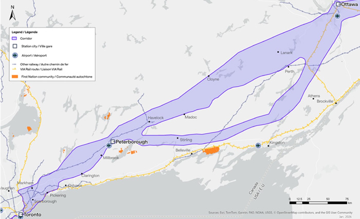
    Map of potential routings for the Alto high speed line in Ontario

    Not unexpectedly, there is opposition from residents and landowners along the route, especially in Eastern Ontario and the area of Quebec just northwest of Montreal. In Hastings County, north of Trenton and Belleville, there are a few dozen “No Alto HSR” signs on lawns and farms in places like Madoc, Marmora, Stirling, and Tweed. In this part of Ontario, between Peterborough and the Rideau Lakes region southwest of Ottawa, there are two broad potential routes: a southerly corridor runs near Campbellford, Stirling, Tweed, and Westport, including through some productive farmland in Northumberland and Hastings Counties. A second route runs north of Highway 7, just north of Madoc and Perth, along the southern fringes of the Canadian Shield.

    Though a high speed railway line would be straight and relatively narrow, it would require the acquisition and severance of hundreds of properties. Along the existing CN and CP railway corridors to the south constructed in the 1850s and 1900s, there are frequent public road and private-access level crossings, something that is not possible with modern high speed trains passing at up to 300 kilometres per hour, so farmers whose land is crossed by the new high speed railway corridor may not be able to access parts of their property easily. Furthermore, there are no stops planned between Peterborough and Ottawa, a distance of over 250 kilometres.

    In Prescott & Russell Counties in the Lower Ottawa Valley, even the local governments are opposed to Alto crews doing early survey work to determine an optimum route, with county warden Mario Zanth clear on the matter: “This council does not want them on our territory.” For now, Alto surveying is mostly done by way of drones over land where landowners have not granted access.

    Once a more specific route is selected, hopefully some of the opposition will fade. Detailed design work and further consultation should also help mitigate concerns. This is especially important west of Ottawa, where there are the two diverging routes.

    Despite the rural opposition, Alto should go ahead. Other major infrastructure projects, especially new highways, can be far more disruptive to local land use. But without local community benefits — at least a new freeway has regular access points — it will be harder to get buy-in.

    Therefore, this needs to be a matter of “Alto and” than just “Alto” by itself. This means building and maintaining a supporting network of conventional VIA service, intercity and regional buses, and local transit connections. It might also mean adding a few additional stations along the route, in places such as Perth. Adding additional stops doesn’t have to slow down trains at all; Japan’s Shinkansen has three classes of trains, from the super-express Nozomi to the all-stops Kodama. While most passengers would be through Toronto-Ottawa-Montreal travellers, offering additional stops for select trains can make Alto more accessible to more people, especially if it means providing new options to underserved communities.

    An express train passes the local Odawara Shinkansen Station in April 2019

    If Alto becomes the backbone of a strong, integrated transportation network in Ontario and Quebec, the benefits will go far beyond those in the six cities directly served the planned high speed line, even to those directly bypassed by Alto trains. This integration is commonplace in Japan and Europe.

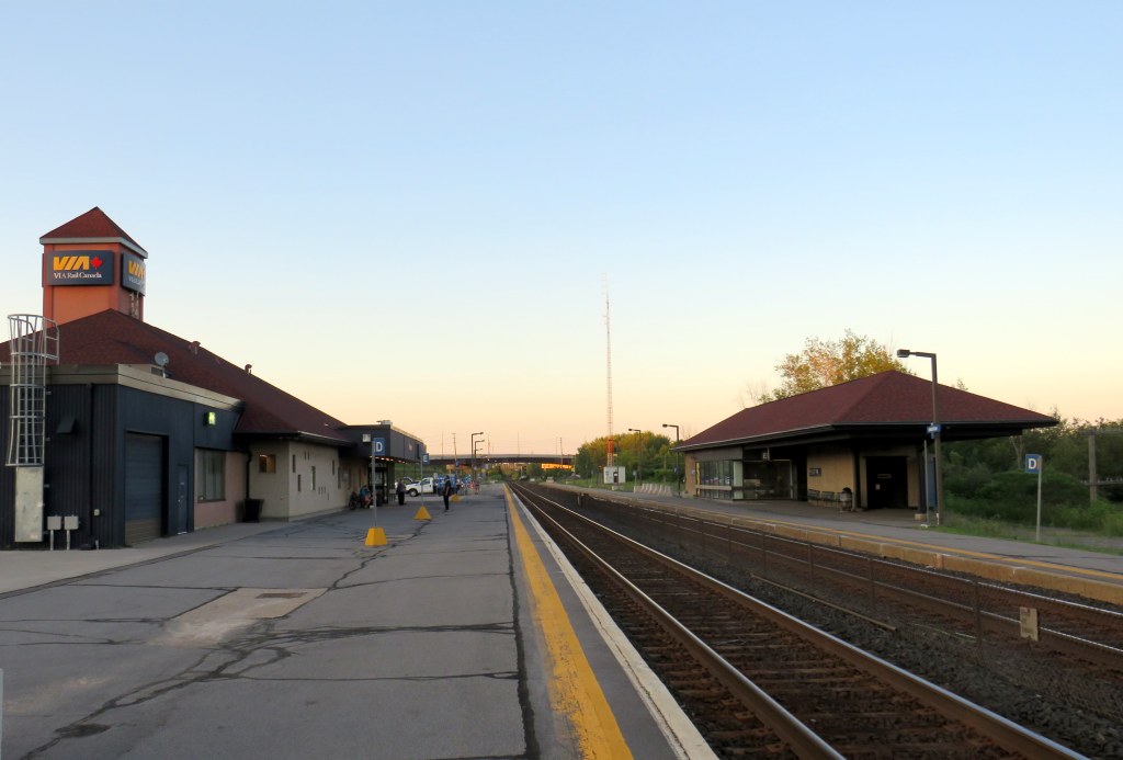
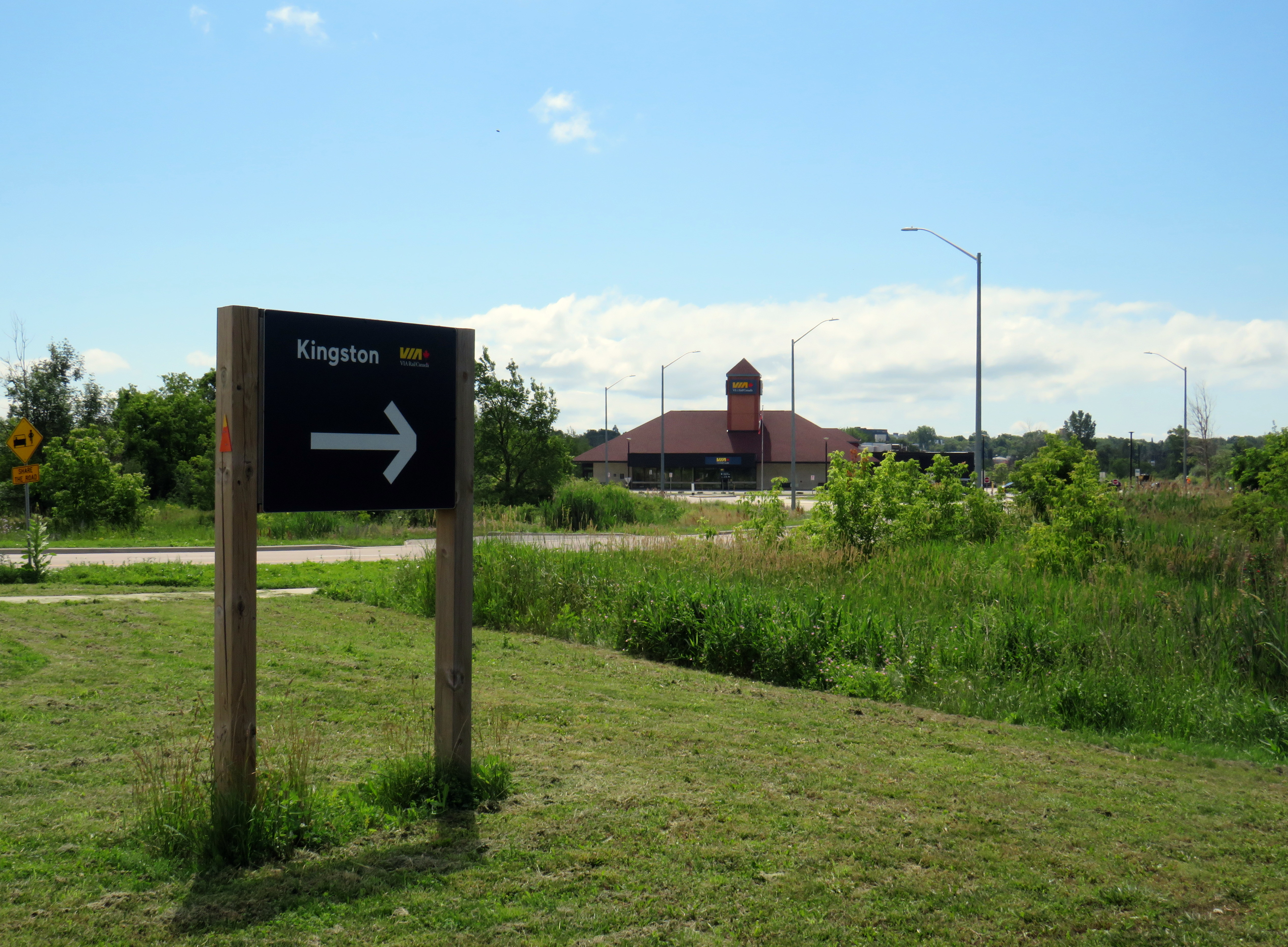
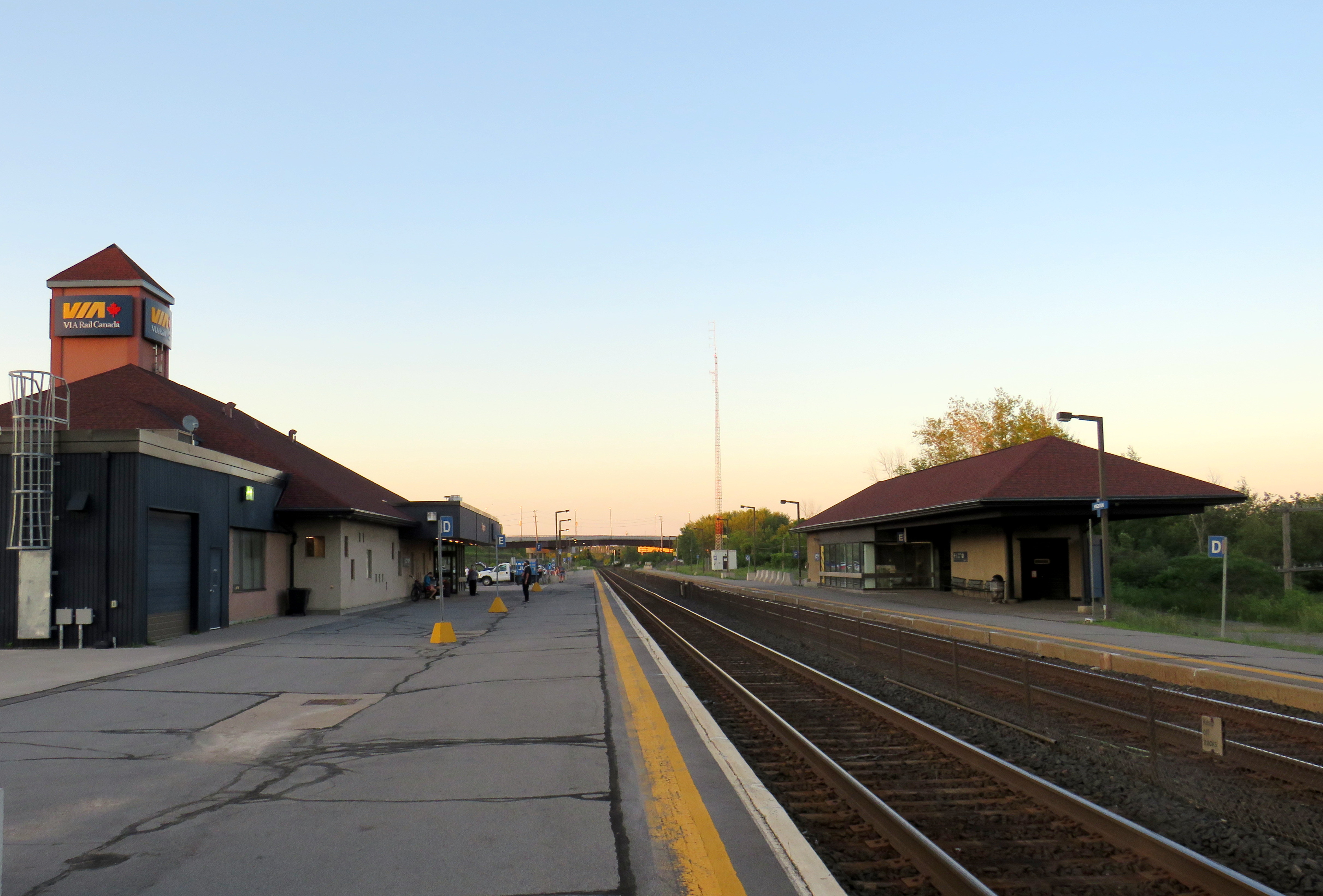
    In Kingston, for example, a new or upgraded VIA station with additional tracks and platforms would allow for early morning departures and late evening arrivals from Toronto, Ottawa, and Montreal without having to sit on active CN freight tracks overnight; VIA schedules built around serving cities like Belleville, Kingston, and Drummondville would ensure the existing service remains vital as through passengers switch to the faster line. A new Kingston station near Division Street could integrate rail and bus services, with easy access to Highway 401, with local and regional buses to places like Gananoque. Enhanced bus connections to the rest of the Ottawa Valley from the Ottawa Alto/VIA Station could allow travelers from Pembroke, Arnprior, or Hawkesbury to quickly continue their journeys via train. At Trois-Rivières, there should be seamless connections to places like Shawinigan and Victoriaville. The Canada Intercity Transportation Map on this website shows which communities are unserved or underserved by bus and rail: these include many towns in Southern Ontario and Quebec that are within 100 kilometres of the Alto corridor.

    Canada is right to invest in high quality and sustainable transportation infrasturure as a nation-building project, to boost the regional and national economy, and promote environmentally friendly travel options. But focusing only on Alto, without a strategy of leveraging the conventional VIA network and intercity bus connections to feed that network, can only limit the success of high speed rail. The communities in between deserve better.

  • Woodbine Centre, revisited

    Woodbine Centre, revisited

    You can catch me on CBC Toronto today talking about the history of Woodbine Centre and Fantasy Fair with reporter Nav Nanwa. The CBC television report has some pretty good drone shots of the mall as well.

    Here’s me standing in front of Highway 27 and the trailers stored in the old Sears parking lot

    I wrote more about the history of Woodbine Centre in November 2024, which you can read here. Looking for reports of the mall opening from 1985, I found this full page ad in the Tuesday, August 6, 1985 edition of the Toronto Star.

  • A Waterford wandering

    A Waterford wandering

    Looking down from the Black Bridge on the Norfolk County Trail to Shadow Lake and Waterford Ponds in May 2026
    Looking down from the Black Bridge on the Norfolk County Trail to Shadow Lake and Waterford Ponds in May 2026

    On a beautiful May Thursday, I met one of my colleagues in the village of Waterford. As he is now living in Port Rowan on Lake Erie, this was an opportunity for us to get some important work done, while also exploring one of Ontario’s great small communities.

    Though the local area was settled over 200 years ago, Waterford was established as a thriving village with the arrival of the Canada Southern Railway (CASO) which was eventually incorporated into the giant New York Central system. The route through Canada, with its divisional headquarters in St. Thomas, was the fastest line between Buffalo, Detroit, and Chicago. It was joined by the Toronto, Hamilton & Buffalo (TH&B), which connected Hamilton and the Canadian Pacific Railway with CASO at Waterford and at Welland. In 1916, the electric Lake Erie & Northern (LE&N) Railway, another Canadian Pacific property, provided regular freight and passenger service between Port Dover, Brantford, and Kitchener. By the 1990s, all three railways were abandoned, but their former rights-of-way remain in active use as part of the local trail network.

    Take the Shadow Lake Trail to Downtown Waterford

    The large system of ponds around Waterford, popular with birds, boaters, and anglers, are artificial. Shadow Lake was a millpond created by damming Nanticoke Creek. When constructing its railway, CASO found the sand and gravel deposits in this area irresistible for exploitation; the gravel was first used for railway ballast; larger aggregate pits created new ponds to the west.

    Map of the Shadow Lake Trail and connecting trails in Waterford, along with the extensive ponds surrounding them
    Map of the Shadow Lake Trail and connecting trails in Waterford, along with the extensive ponds surrounding them

    The former Canada Southern Railway Station, which also served the TH&B, still stands, and has recently been home to an artisan market. Sadly, the LE&N station was demolished in the 1970s.

    Former railway station
    Waterford CASO Station

    Despite the loss of the railways and the LE&N station, the railway rights of way are fully intact within the village area and have been converted to trails. Within Waterford, the east-west Shadow Lake Trail follows the former CASO route between the Waterford Conservation Area to the west and Lingwood Park to the east, though it is not part of a continuous trail system across southwestern Ontario. Only short sections within Waterford, Tillsonburg, St. Thomas, and Essex are open to the public; most of the old railway corridor was sold off to local landowners in the late 1980s and early 1990s.

    Norfolk County Trail sign

    However, the north-south LE&N Trail, which connects to the Shadow Lake Trail by way of a gentle paved pathway or a metal staircase, is part of a much longer rail trail corridor that continues north to Brantford (the trail shifts to the TH&B route north of Waterford) and south to Simcoe and Port Dover. At Brantford, it is easy for the ambitious cyclist to continue east to Hamilton or north to Paris, Cambridge, and Kitchener via connecting high-quality rail trails. The Norfolk County Trail is at its scenic best when it crosses over the Waterford area via the Black Bridge.

    A railway bridge, since converted to a trail, crosses a pond
    The Black Bridge crosses over the old CSR and TH&B railways and the Waterford Ponds

    One aspect that I especially appreciated was all the interpretive plaques along the trail system that told the story of Waterford, local industry, and the railways. This is how I learned that the ponds were the result of milling and quarrying, rather than truly natural features.

    One of several interpretive plaques along the trail system in Waterford

    Despite their attractiveness for long-distance cyclists, the trails within the Waterford area are well-used by residents and visitors going for shorter walks. The trail network within Waterford connects well to local streets and to itself by way of the former low-level TH&B wye tracks, which also cross the ponds. A walker can easily do a round trip without backtracking while being surrounded by nature. Wayfinding signage is very good, and benches are plentiful. The ponds are a great spot for bird watching. As we know how good walking is for our physical and mental health, Waterford is blessed with this network and could be a model for other smaller urban centres and rural communities.

    Walkers on the old railway bridge
    In the early afternoon on a Thursday, the Black Bridge was popular with pedestrians and cyclists

    Within the little downtown, there are public washrooms for trail users as well as several restaurants, cafes, and a craft brewery located in a former textile plant. There are also several antique dealers, a public library, and other small shops.

    Alice Street, Waterford
    Alice Street, Waterford’s main commercial strip, is lined with restaurants, shops, a cafe, and a brewery
    Waterford Antique Market and Wishbone Brewery, in a renovated textile plant

    Despite all that Waterford has to offer, there is one thing that can be improved to make it safer to get around. Alice Street, the main commercial strip in Waterford, meets Old Highway 24 at an unsignalized crossing. Though busy Highway 24 now bypasses Waterford, the old highway is still busy, with drivers exceeding the 40 km/h posted speed limit. The Waterford library branch and northbound bus stop towards Brantford are on the opposite side of the wide T-intersection from the Alice Street businesses; it is surprising that there is no traffic signal here to control auto traffic and provide a safer pedestrian crossing.

    The northbound bus stop (note the shelter at right) and library branch are on the opposite side of a busy road from the downtown shops

    Though there is a traffic signal 200 metres to the south at Nichol Street, most pedestrians opt to cross at Alice Street instead. According to Google Streetview, there was a signed pedestrian crossing at Alice Street in 2009 but was removed by 2012.

    Waterford is under a two hours’ drive from Downtown Toronto, though it is accessible without a car. GO Transit and VIA Rail both serve Downtown Brantford, where on weekdays, one can take a Ride Norfolk minibus south to Waterford. Cyclists from Hamilton or Toronto can take GO Transit buses to Brantford and bike south down the TH&B Rail Trail to Waterford on a relaxed 90-minute ride. From Simcoe, it’s an easy 45-minute ride.


    In general, Ontario can do so much better promoting sustainable tourism and travel by way of transit, walking, and cycling, as there are many places like Waterford that are easy to get to and around without a car that are not especially well-known, and there are many opportunities to improve public and active transportation links to other communities throughout the province. Though some communities, like Brantford, Hamilton, and Peterborough are very well connected to multiple trail systems radiating outwards in multiple directions, other cities and towns are not so lucky.

    Though St. Marys and St. Thomas, for instance, also have made great use of former rail infrastructure, they are lacking safe, high-quality active transportation connections to nearby cities like London or Stratford. Lindsay, in Kawartha Lakes, is at the nexus of several trails as well, but it lacks any intercity bus connections of its own. A provincial strategy could go a long way.