During the late evening of Friday, July 24, the federal government announced that it would not proceed with a proposal to expand the Toronto Island Airport (officially Billy Bishop Toronto City Airport) to accommodate additional traffic and commercial jet aircraft. This secretive plan, developed by the Toronto Port Authority and Neuport Aviation, was championed by Doug Ford’s provincial government, which did all it could to push it though. The province moved to expropriate the City of Toronto’s lands on and surrounding the airport and forced it to give up its say in a tripartite agreement that governs the airport operations. It also invoked new powers under Bill 5 to declare it a “special economic zone” to get around environmental regulations and required consultations.
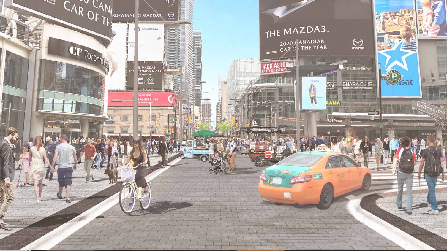
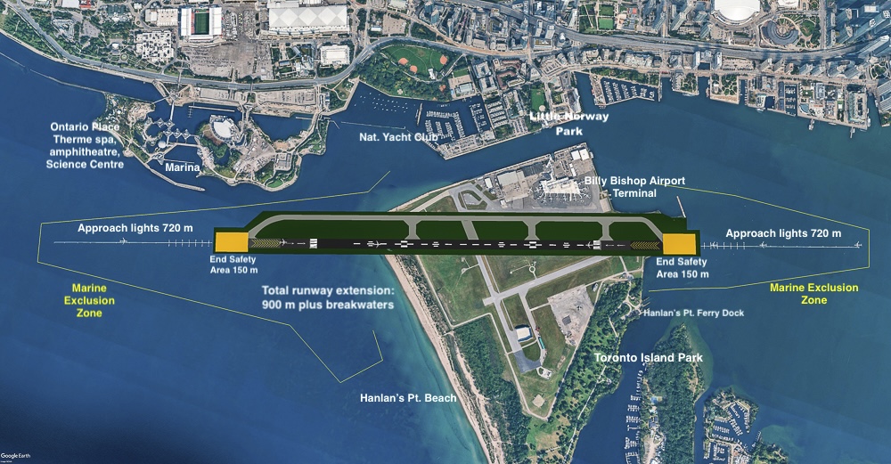
The federal government, headed by Mark Carney, did not object, with the minister of transportation, Steven MacKinnon, expressing that government’s interest in the plan. The province claimed the airport expansion could contribute up to $8.5 billion annually to the economy by 2050, with passenger traffic quintupling from two million to ten million travellers. The east-west runway would have to be extended westward by 900 metres, adjacent to Ontario Place. The expanded marine exclusion zone would disrupt recreational activity in the Toronto Harbour and Lake Ontario and especially impact Hanlan’s Point.
As part of what seemed to be a window-dressing exercise, Transport Canada opened up an online public survey in June to gather feedback, though the survey questions were written with a pro-expansion slant, touting “economic benefits for Canada” in the preamble. This was despite the lack of previous public input or even a detailed business case open to scrutiny and reasoned debate. It seemed as if the fix was in.
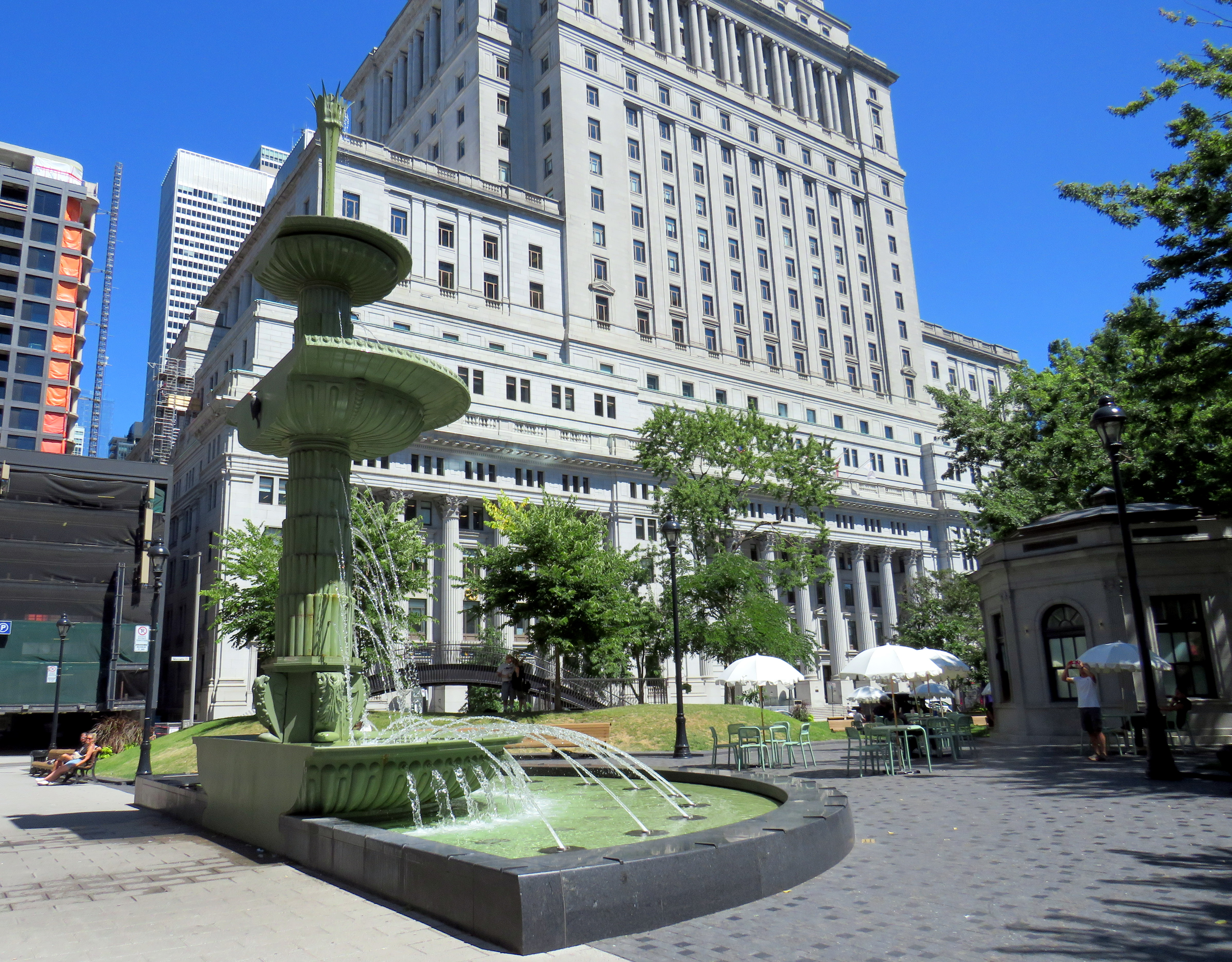
But to much surprise and relief, citing the overwhelmingly negative survey responses (of 87,000 responses, 87 percent opposed airport expansion; 80 percent of the total responses were from within the City of Toronto), the federal government kiboshed the expansion plan, allowing only already approved minor extensions for safety improvements. Perhaps the Liberals were worried about upcoming byelections (including one in Beaches-East York) or maybe enough Toronto MPs felt the pressure from their constituents spoke up. But it was the right thing to do, given the expected effects on noise, air, and water pollution, traffic and land constraints at the main airport entrance off Queen’s Quay, and the impact on Waterfront Toronto’s inspiring Ookwemin Minising project on the eastern harbourfront.
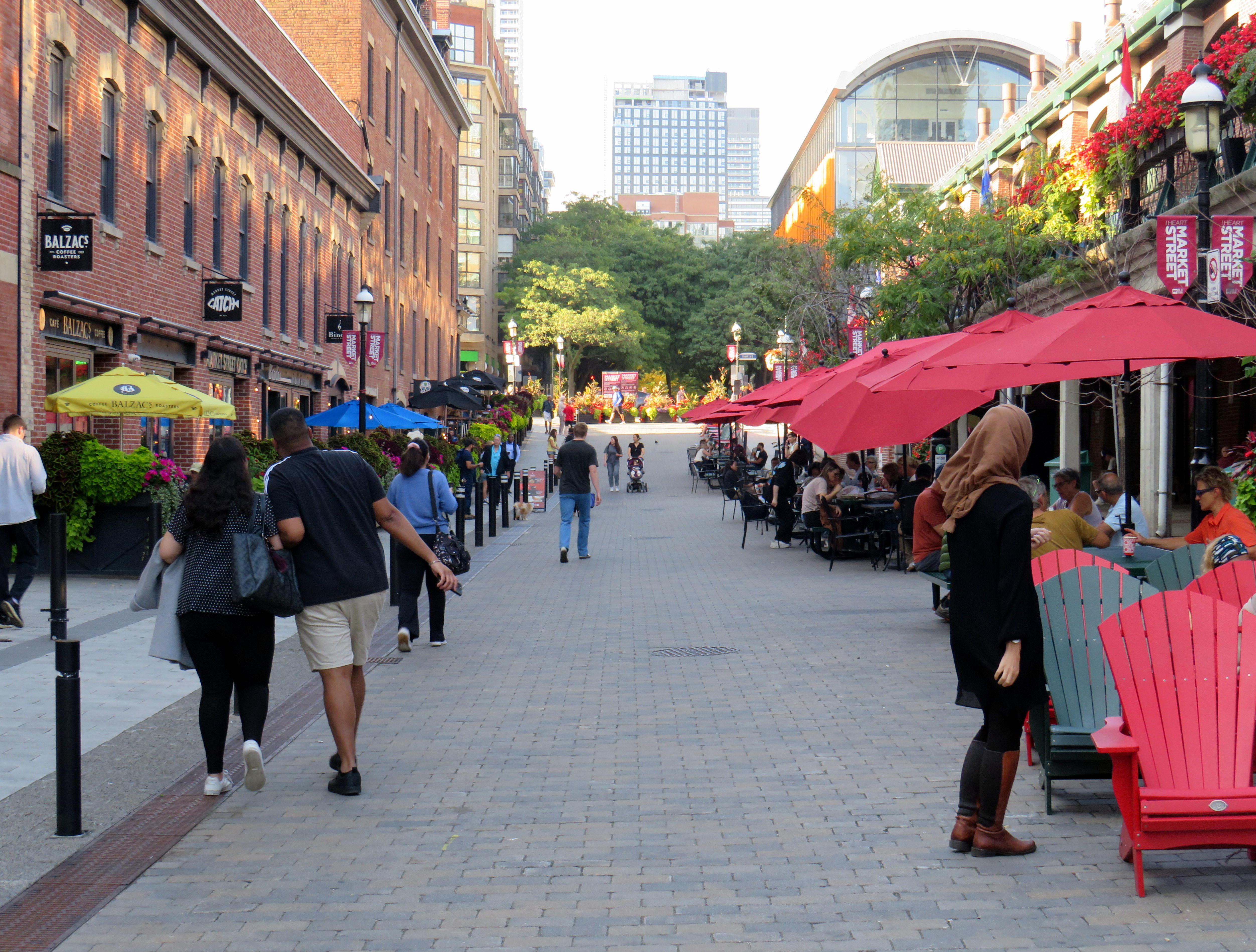
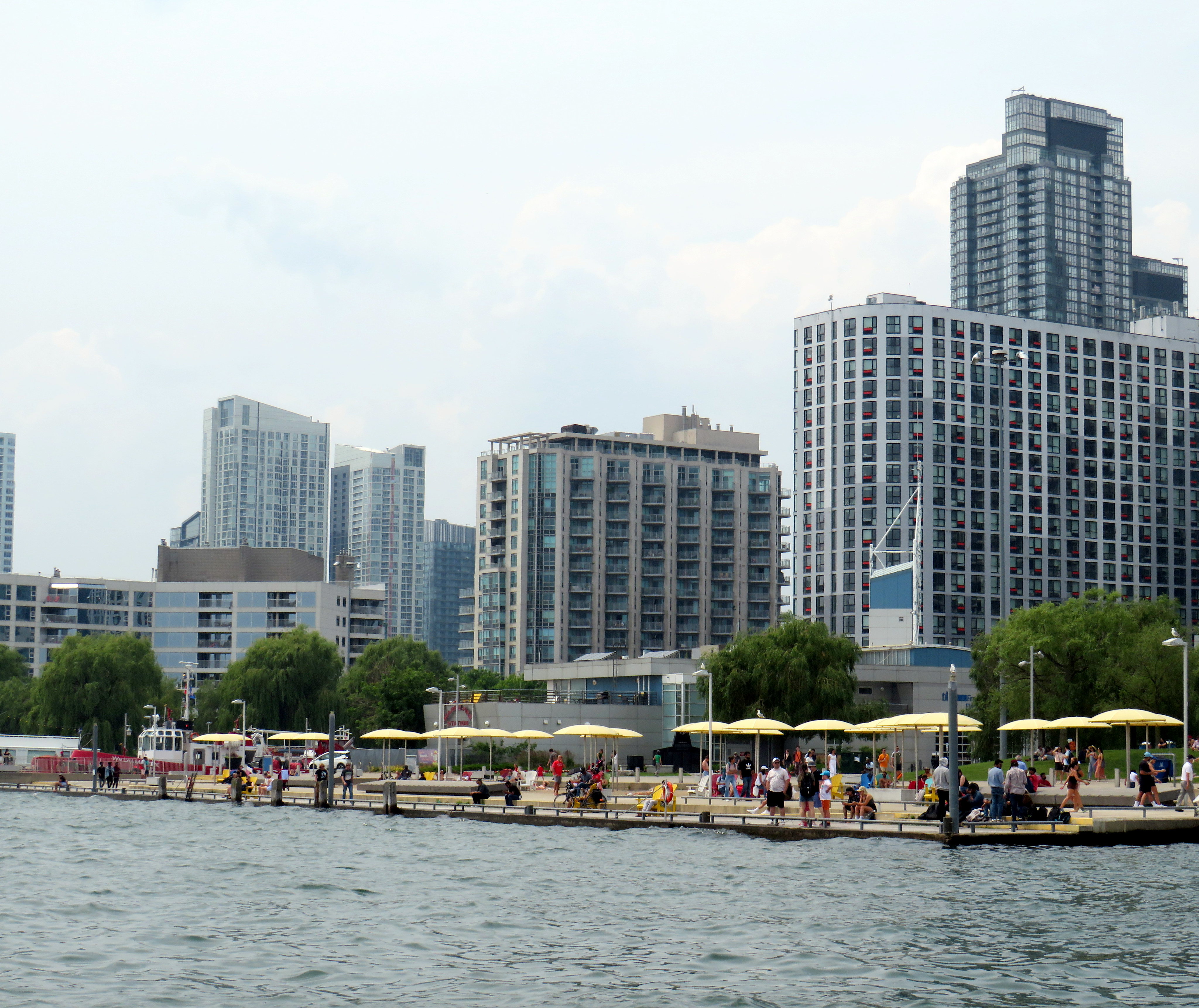
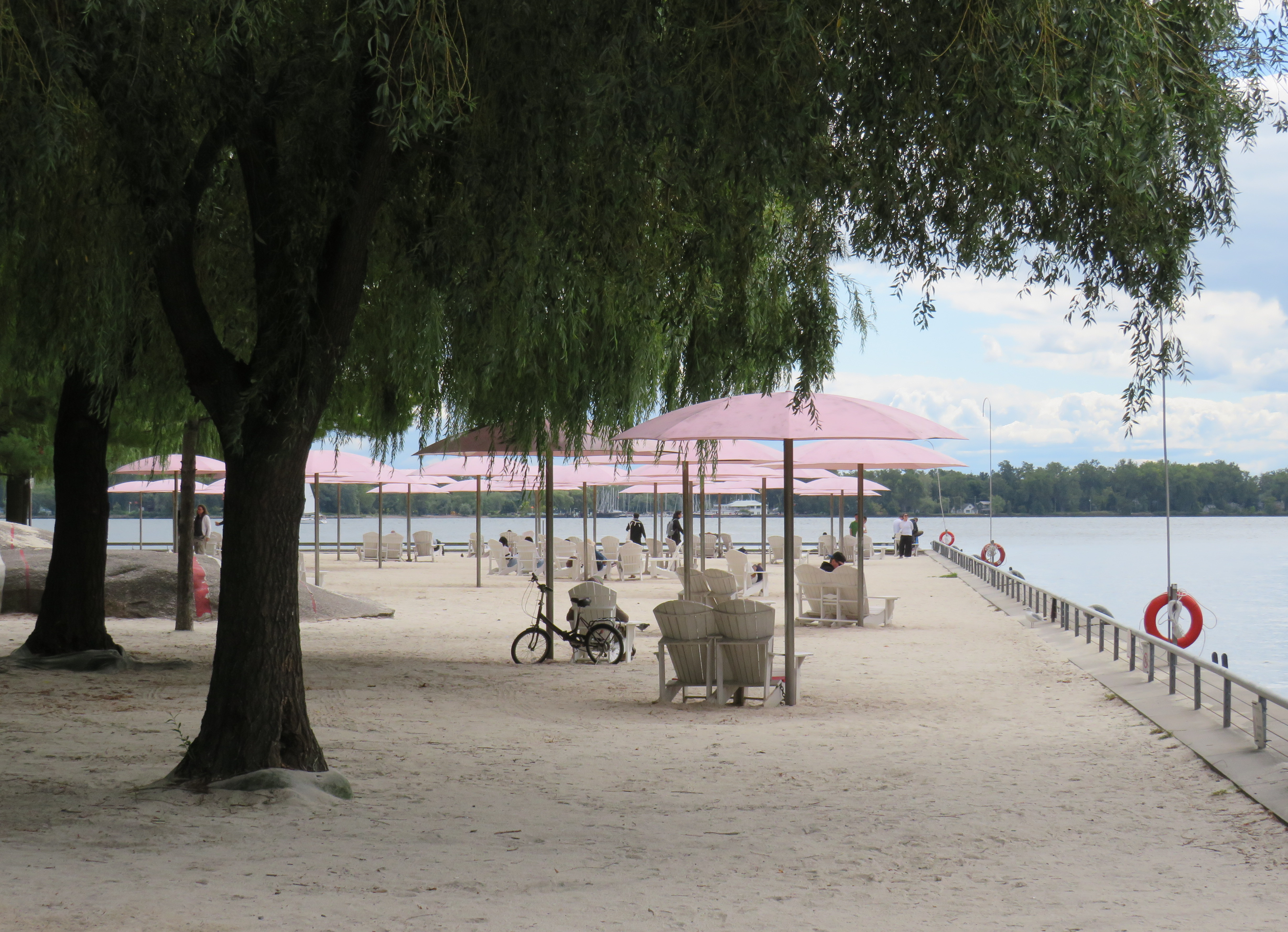
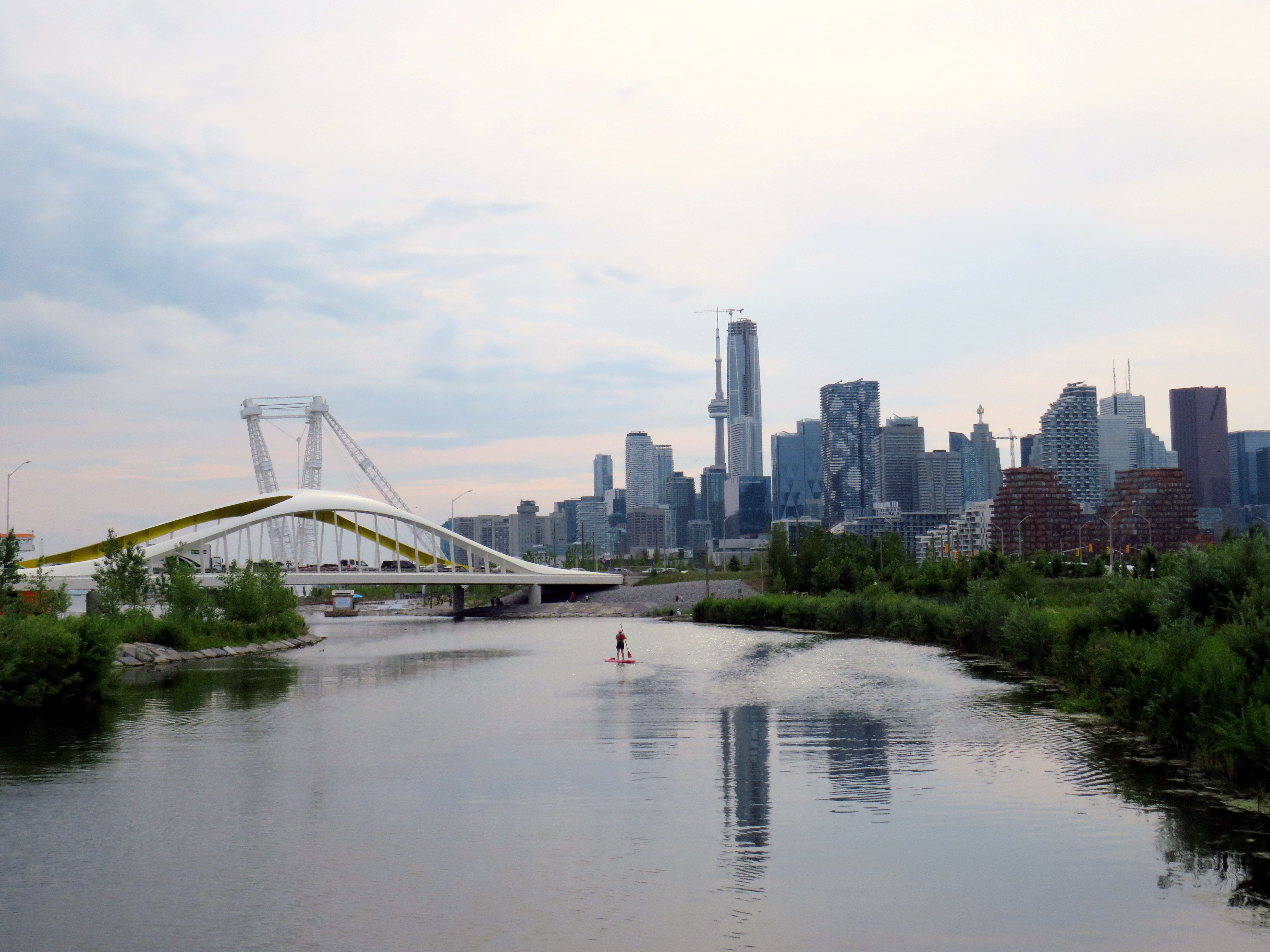
Visiting the new western section of Biidassiage Park on Saturday – the morning after the federal announcement, was especially sweet. Waterfront Toronto has shown time and time again that it has the expertise and capacity for building quality public spaces on this city’s waterfront, along with guiding new residential and commercial development to go along with it. Egrets, killdeer, ducks, cormorants, and herons have already made this space home. Public art, play structures, and homages to the industrial past anchored by a huge shipping crane come together in a place that has some of the best views of the downtown skyline. To the northeast, a new highrise community is being planned that will be fully integrated with the completed public spaces; the envisioned community would find itself compromised by the approaches required for larger jet aircraft.
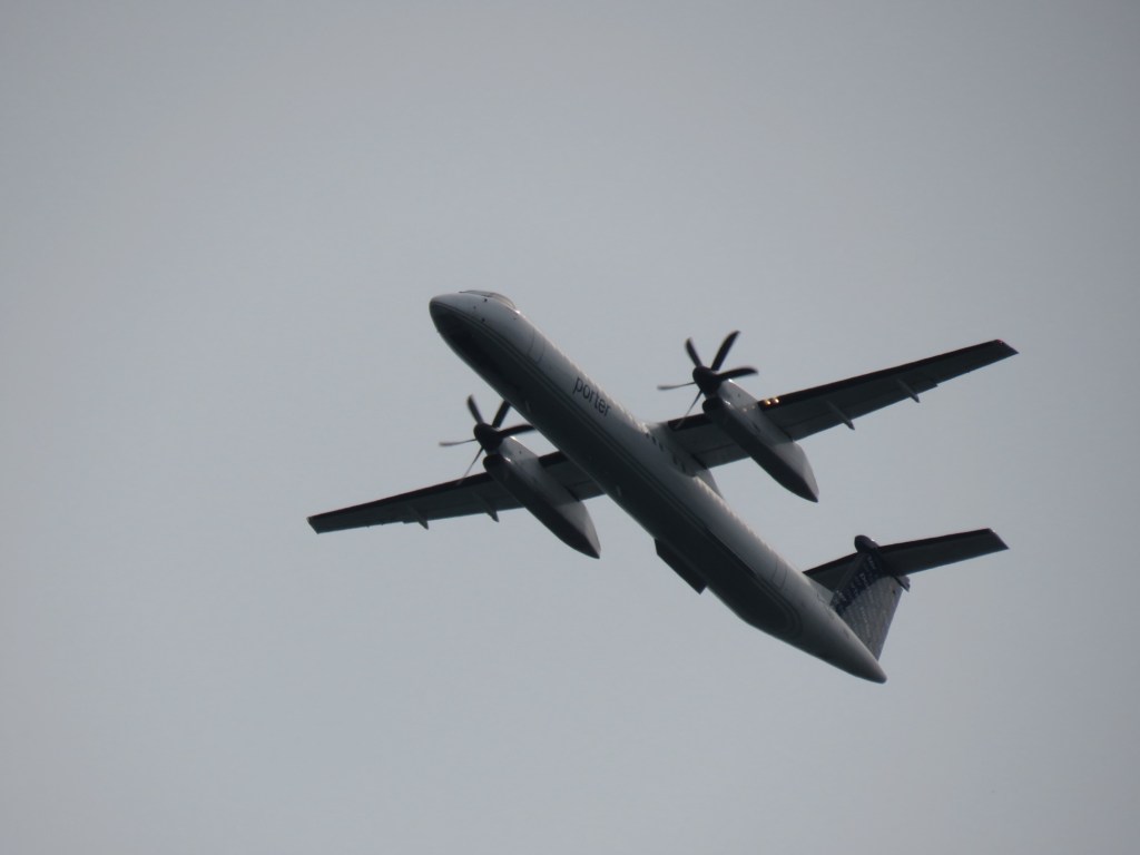
After spending some time in this amazing space, part of a larger re-naturalization and flood control project at the bottom of the Don River, one could imagine larger jet aircraft landing every few minutes and how much it would effect these lands; the Q400s were loud enough, especially when reverse thrusting upon landing; noise carries a long way upon the flat water in the sheltered harbour. As most downtown residents don’t have access to Muskoka lakefront cottages, these sorts of spaces are critical for a thriving city and healthy living.
Sadly, the backlash from the federal government’s decision not to support the provincial plan came harsh from the province and from politically powerful business groups and at least one Canadian tech billionaire. Ontario Transport Minister Prabmeet Sarkaria claimed the federal government conceded to “fringe groups” in rejecting the Ford government’s jet ambitions. The province, claiming there was a quid pro quo in which it would support the Alto high speed rail project if the province backed the island airport expansion, is now letting its rural Eastern Ontario caucus members openly oppose the rail plan.
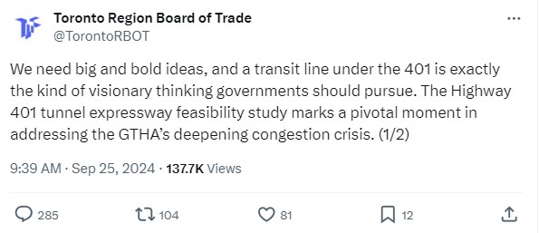
The Toronto Region Board of Trade also came out against the federal government’s decision, with chair Giles Gherson calling the airport a “hugely valuable as a business asset” and worried that without the runway expansion, the airport is on “borrowed time.” No facts or figures were cited in his lament to local news media; they were also absent in an op-ed published in March 2026. It is doubtful, that a regional airport with limited destinations makes-or-breaks business decisions whether to locate to Toronto, especially when there is now a frequent airport rail link to Pearson that will eventually be electrified and expanded. Any capacity lost with a potential closure of the island airport can be easily absorbed at Pearson or other facilities, such as Hamilton International or Waterloo Regional airports.
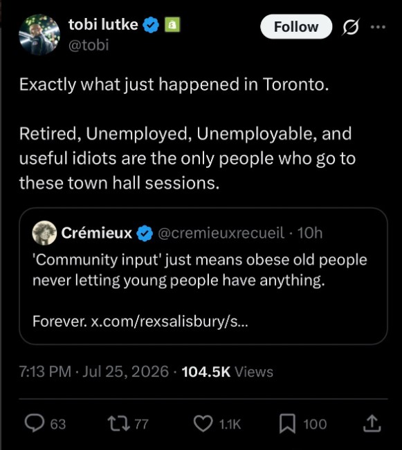
On Elon Musk’s toxic social media site, Shopify co-founder and CEO Tobias Lütke had a bit of a breakdown. He called the overwhelming opposition “retired, unemployed, unemployable and useful idiots [sic].” As a billionaire, Lütke doesn’t have to fly commercial, but can travel by private jet. Perhaps he, and other members of the business elite were upset that their personal jets would continue to have to use Pearson. The same weekend, Lütke backed the idea that voting rights should be tied to income.
One could argue that the airport backers are so upset because they saw this push as the best chance to finally expand the island airport for jet traffic, after two previous fights in 2003 and 2014. There was a pro-business premier with a vindictive streak against the City of Toronto, a banker prime minister whose economic polices have promoted oil and gas and AI development and looking for “nation-building” industrial projects to support, and a well-intentioned but very conciliatory mayor.
That window is now closed. I doubt this ends the decades-long debate on the airport’s future, but it does provide some relief, even some mild satisfaction that the very small percentage of people who are used to getting everything they want from government can still sometimes lose.