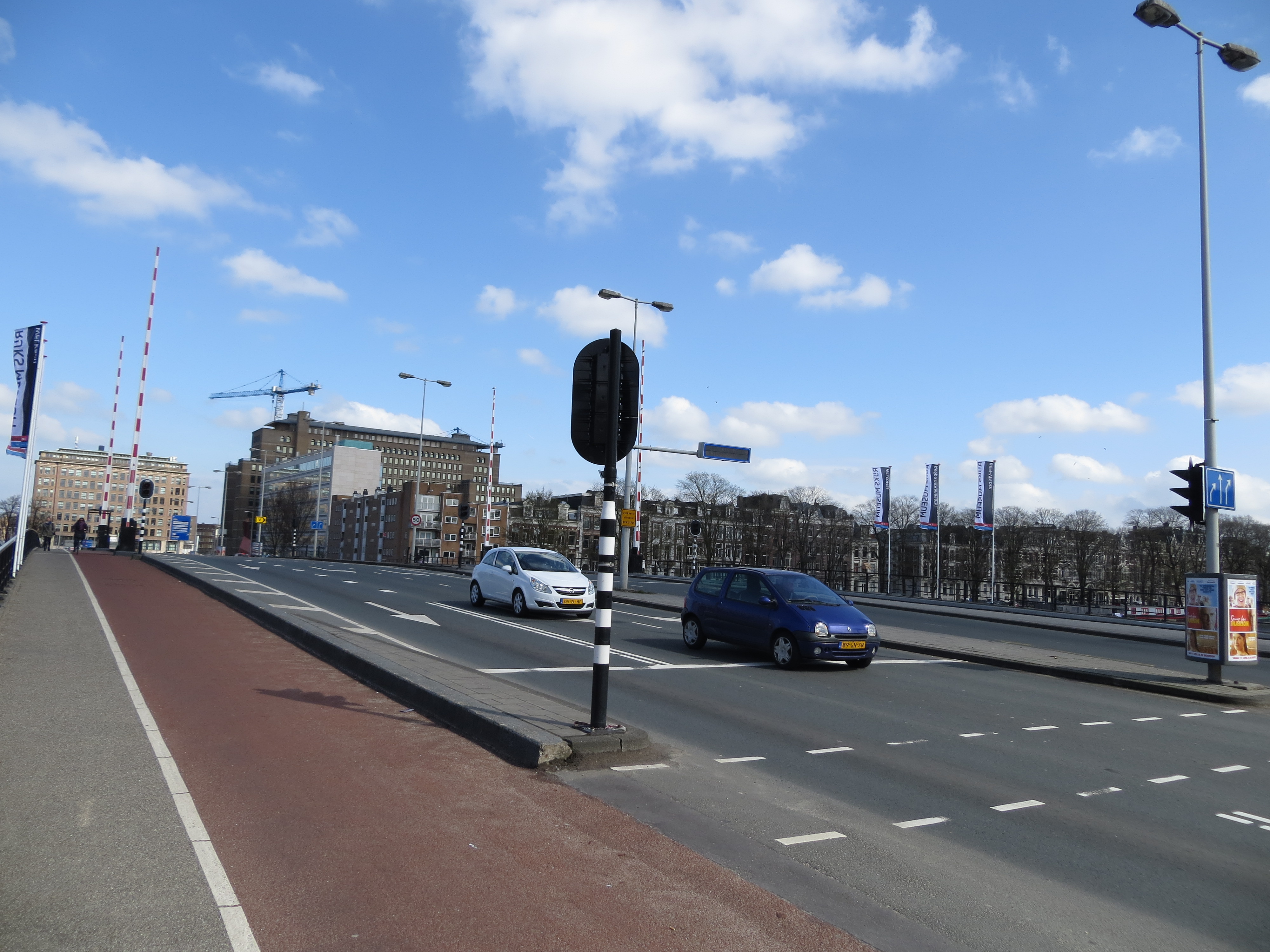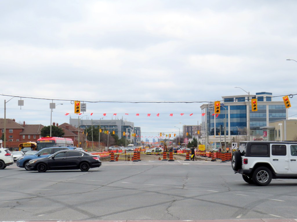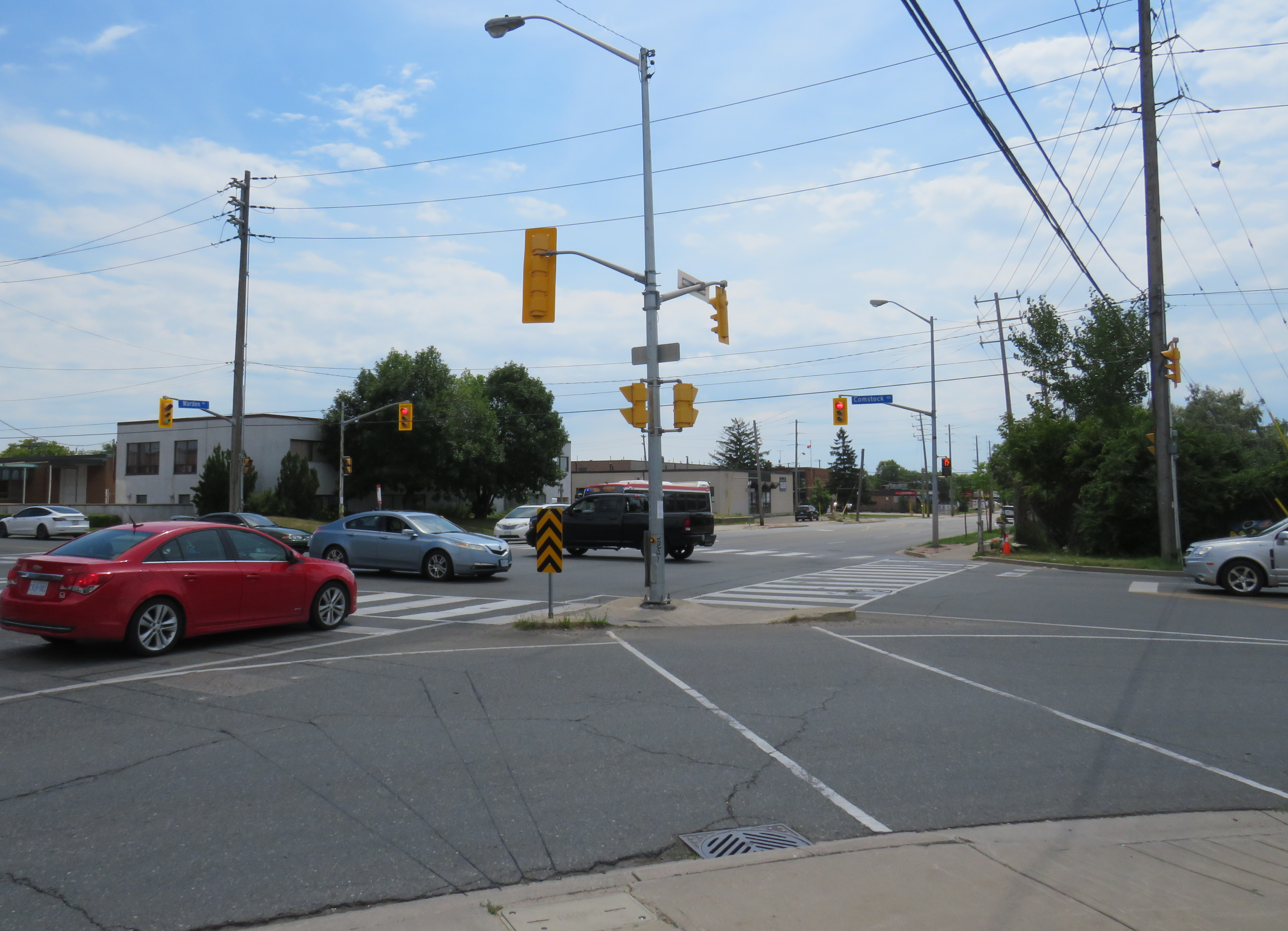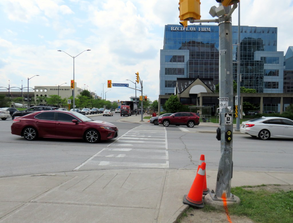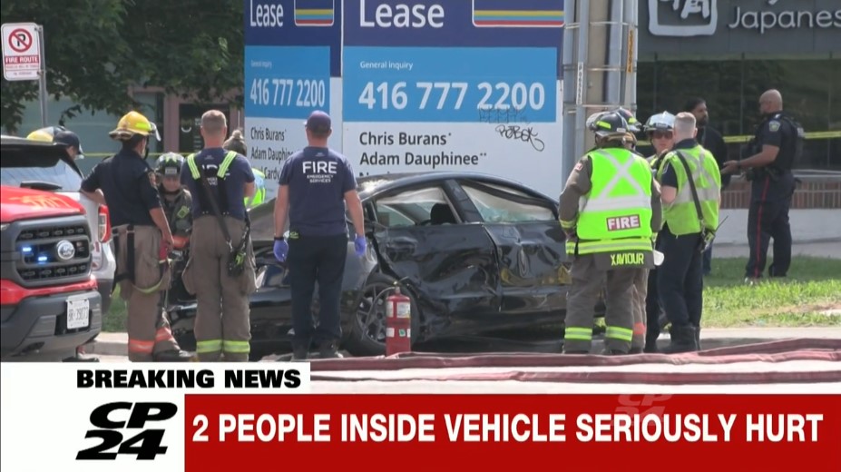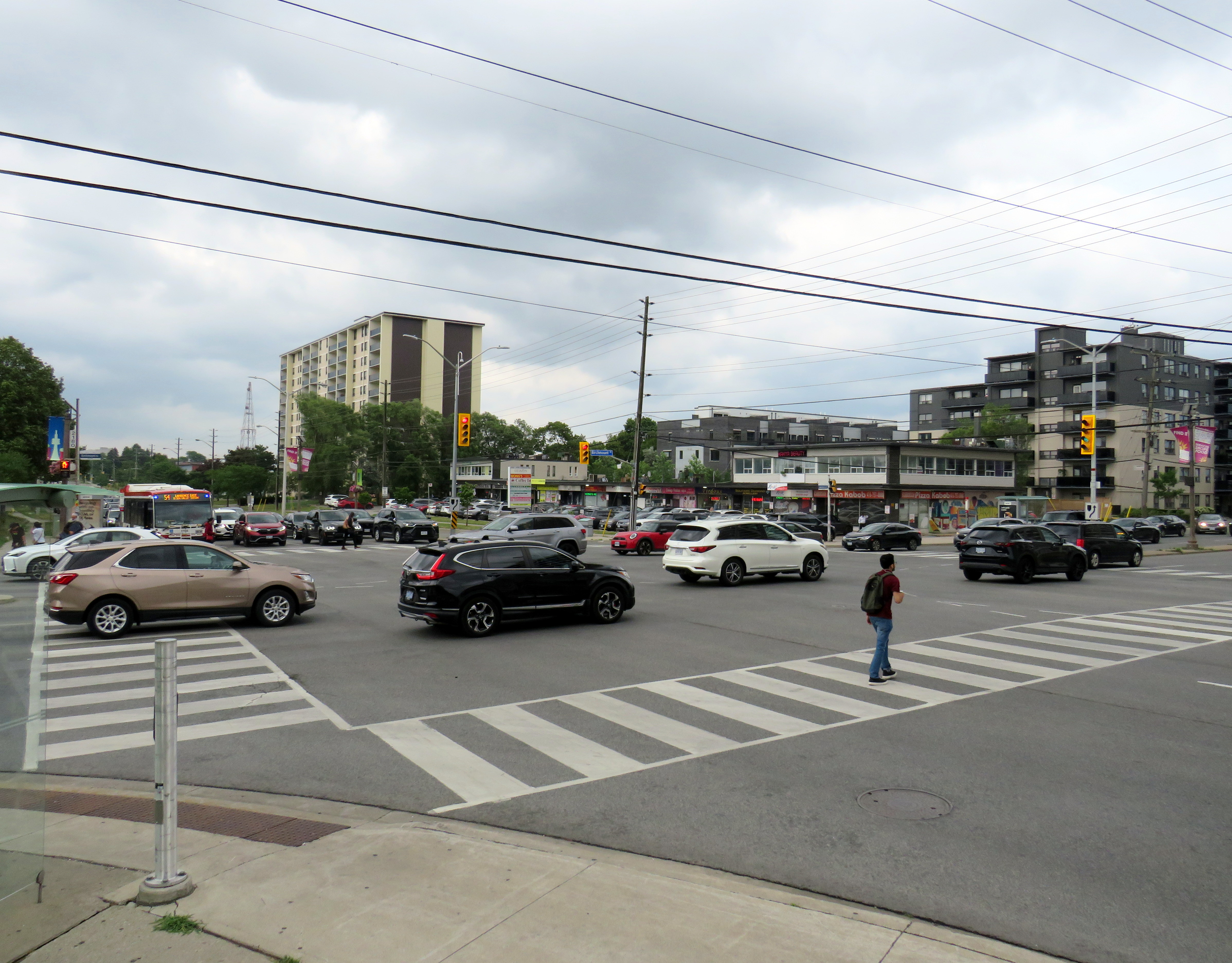
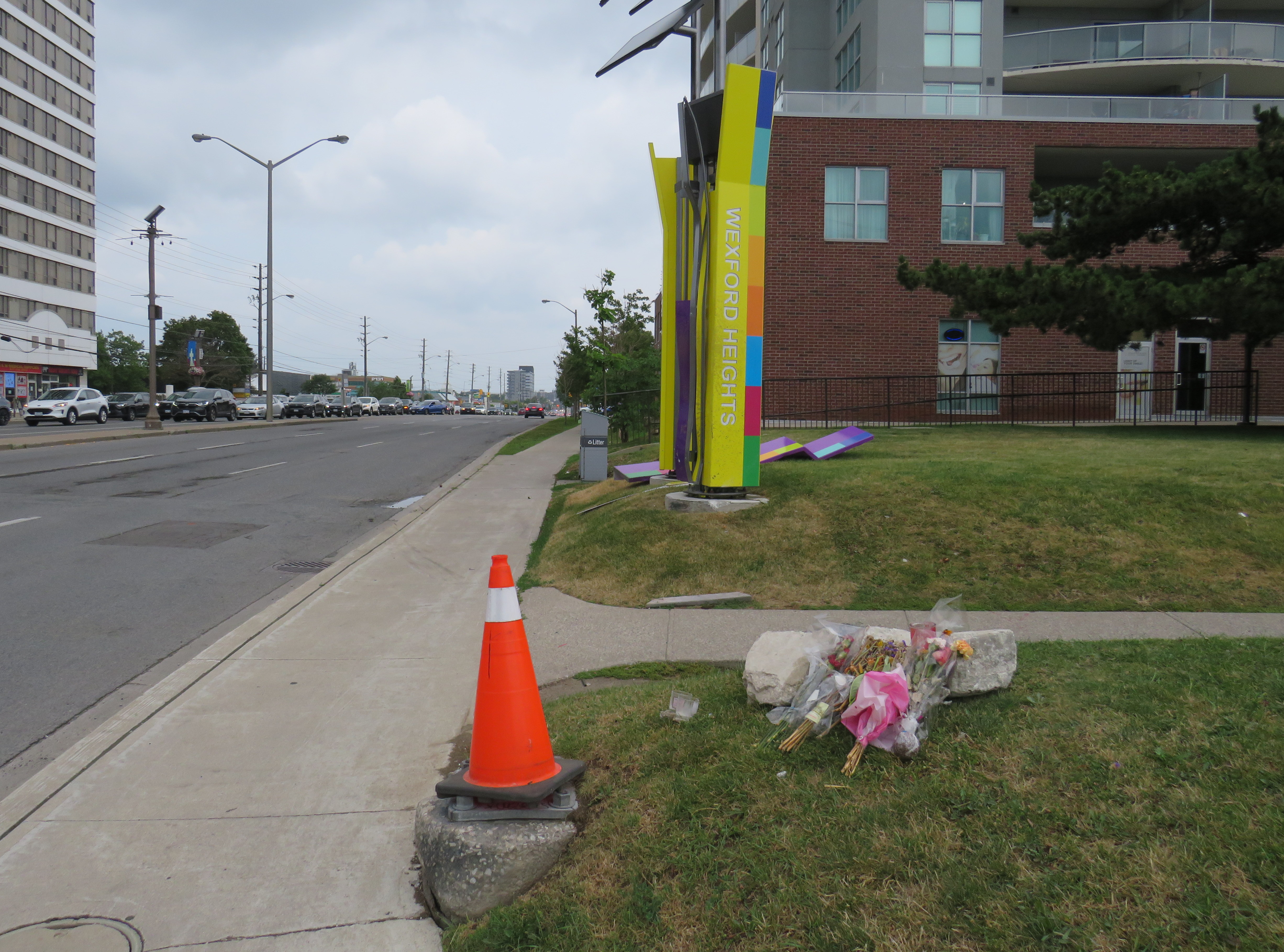
On Friday, July 10, the driver of a westbound Toyota RAV4 SUV drove through a red light on Lawrence Avenue East and struck another vehicle travelling south on Birchmount Avenue. The SUV continued forward, mounting the sidewalk where two pedestrians were standing, and then hit a traffic signal pole. The pole, as designed, fell to the ground. The two pedestrians — a 64-year-old man and a 61-year-old woman — were killed. The drivers of both vehicles — as well as two passengers in the RAV4 — were taken to hospital with “non-life-threatening injuries.” Nearly two weeks later, there have been no updates from the Toronto Police or any news outlet letting the public know of any charges laid; there is not even any mention of who the two dead victims were.
As it’s just another “accident,” society shrugs and continues on.
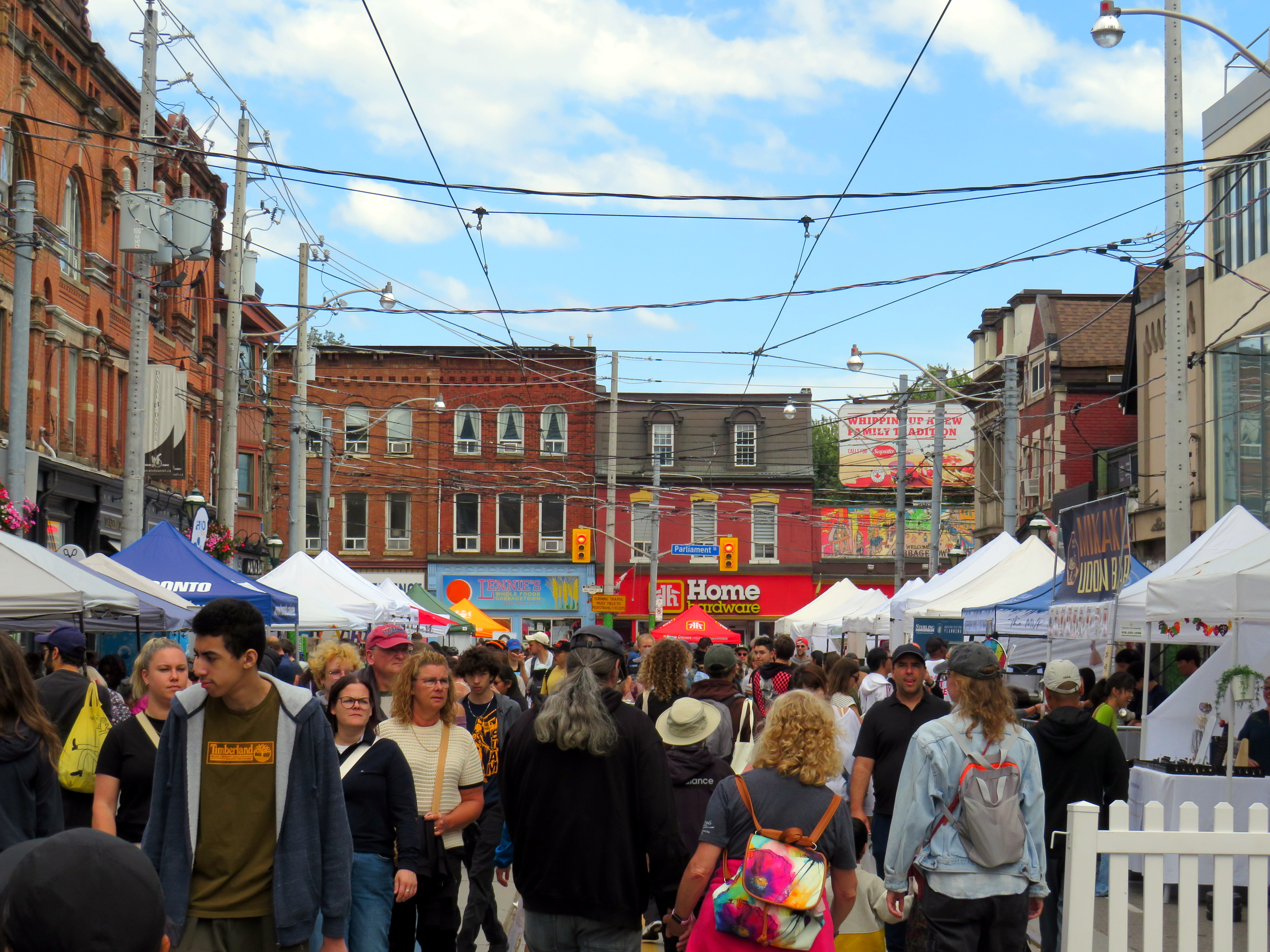
A day later, just after 8PM on Saturday, July 11, two people were shot dead on St. Clair Avenue West during the Salsa on St. Clair street festival, and four more were injured. This was not a random shooting, but a violent gunfight where the assailants and those killed knew each other. There were many thousands attending the popular street festival that evening; many of those attending fled fearing for their safety.
Elected leaders from all three levels of government were quick to denounce the violence, and Toronto Police, to its credit, refused to hyperbolize the general risk to the public. Chief Myron Demkiw reminded Torontonians that “shootings are down over 26 per cent compared to the same time last year,” followed by the recognition that such violence “…understandably shakes the sense of safety and security that Torontonians expect and deserve.”
However, there are those whose agendas are not served by nuanced remarks like Chief Demkiw’s. Second-time mayoral candidate Brad Bradford was quick to blast senior police officials, saying it was “wrong to call Toronto a safe city.” Bradford followed with his preferred response from police which “…is to say ‘No. No more. Not now, not ever.’” For someone running on a right-wing reactionary platform, such a response would have been much more helpful against an incumbent mayor.
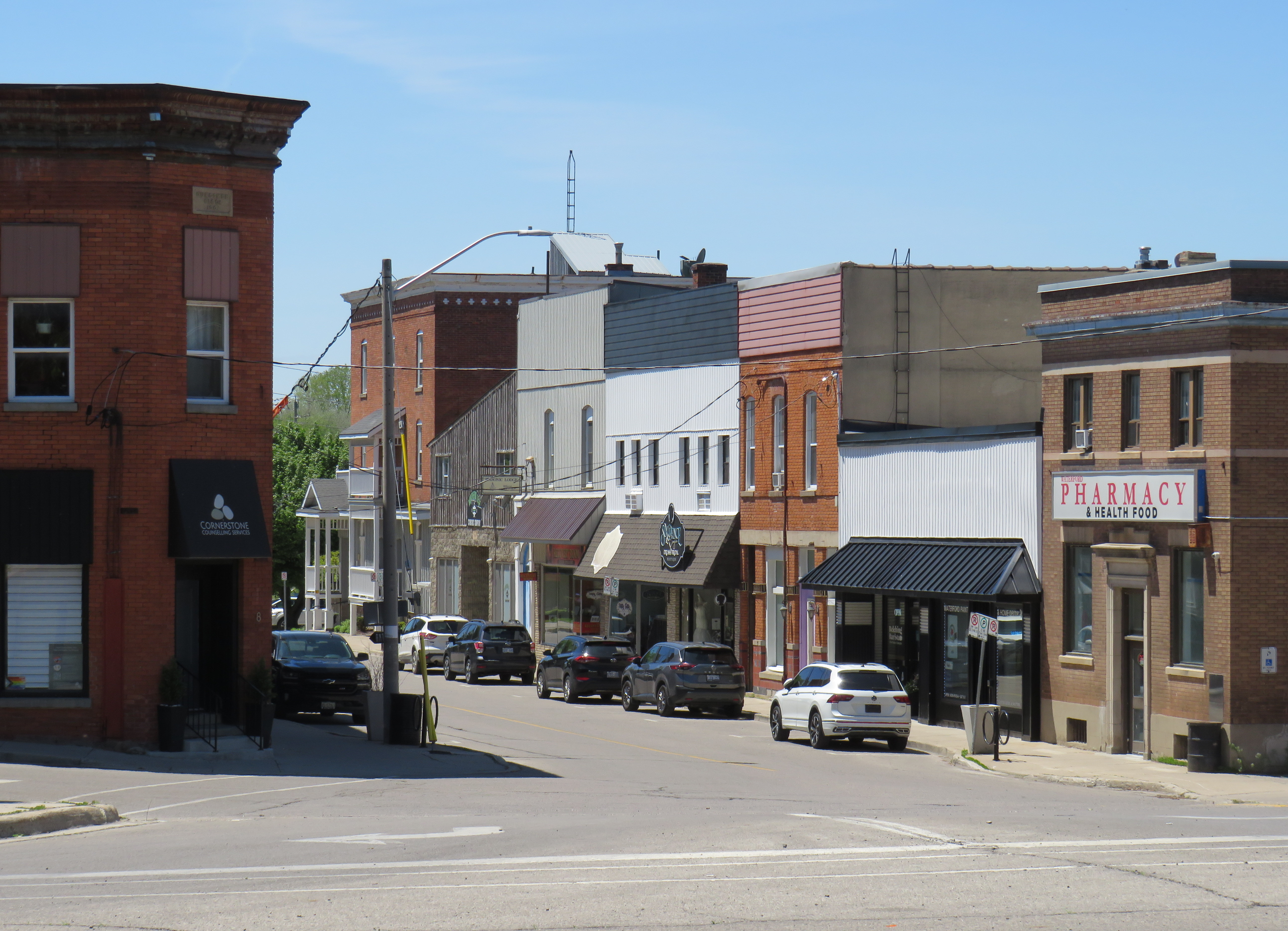
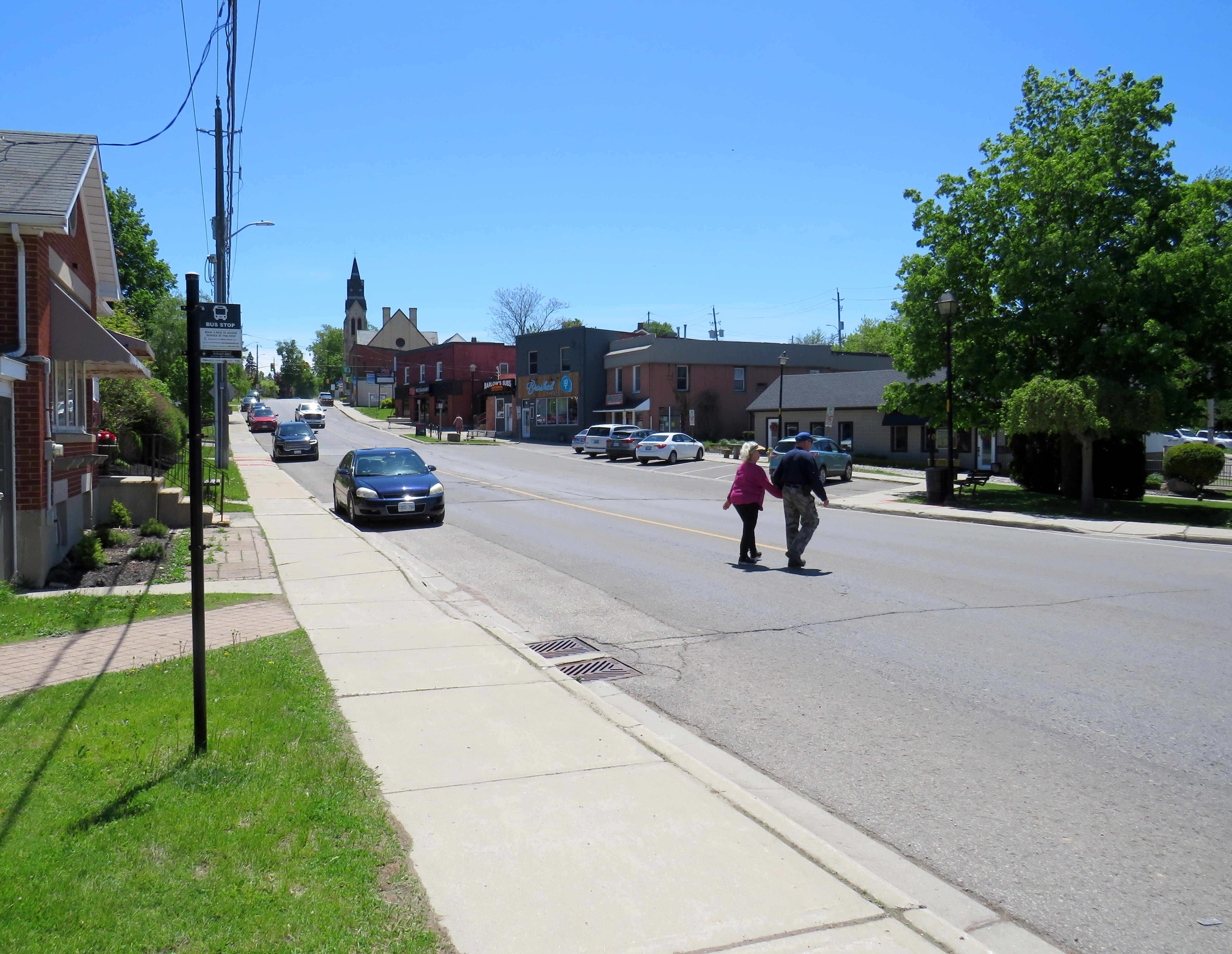
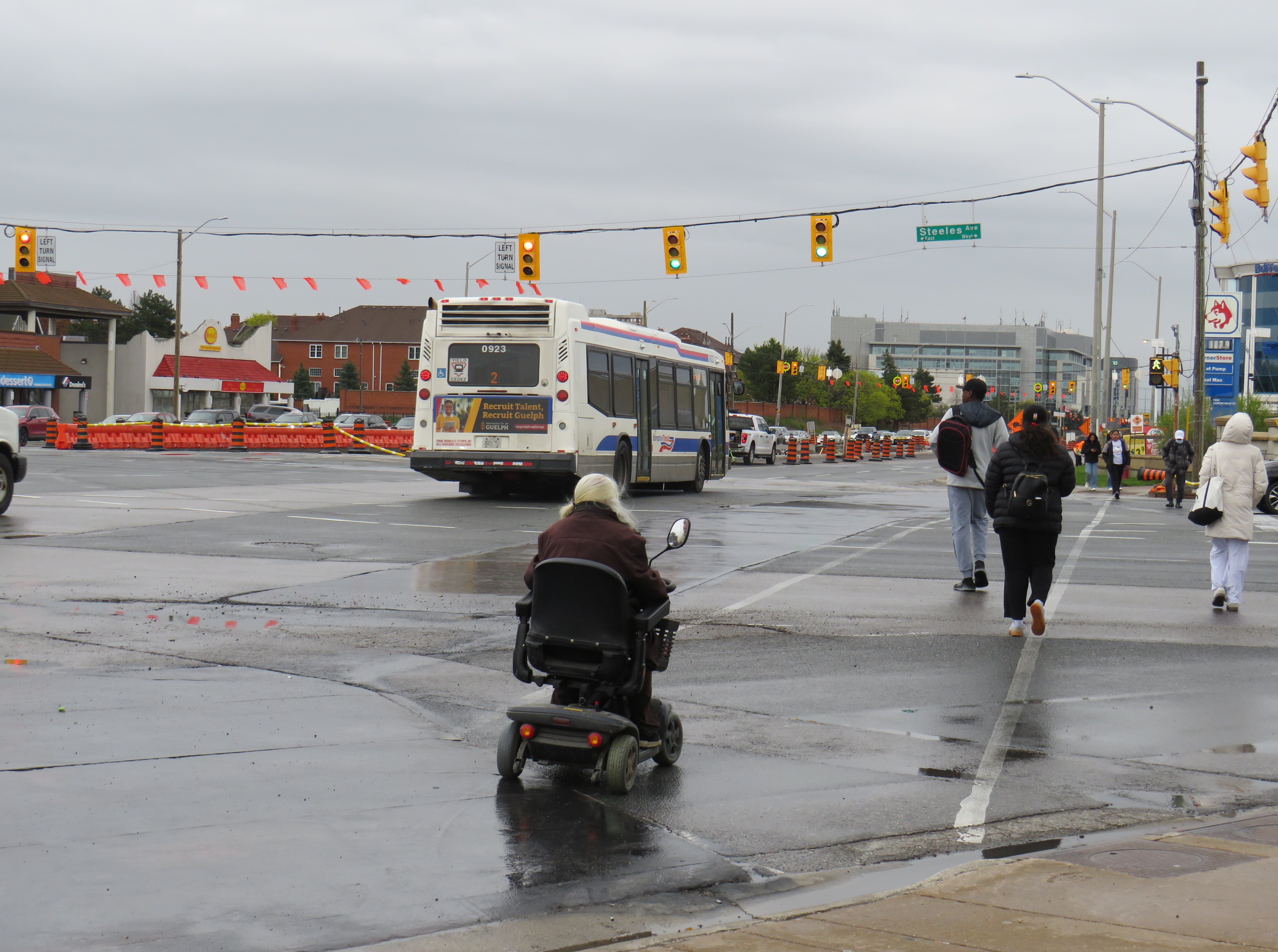
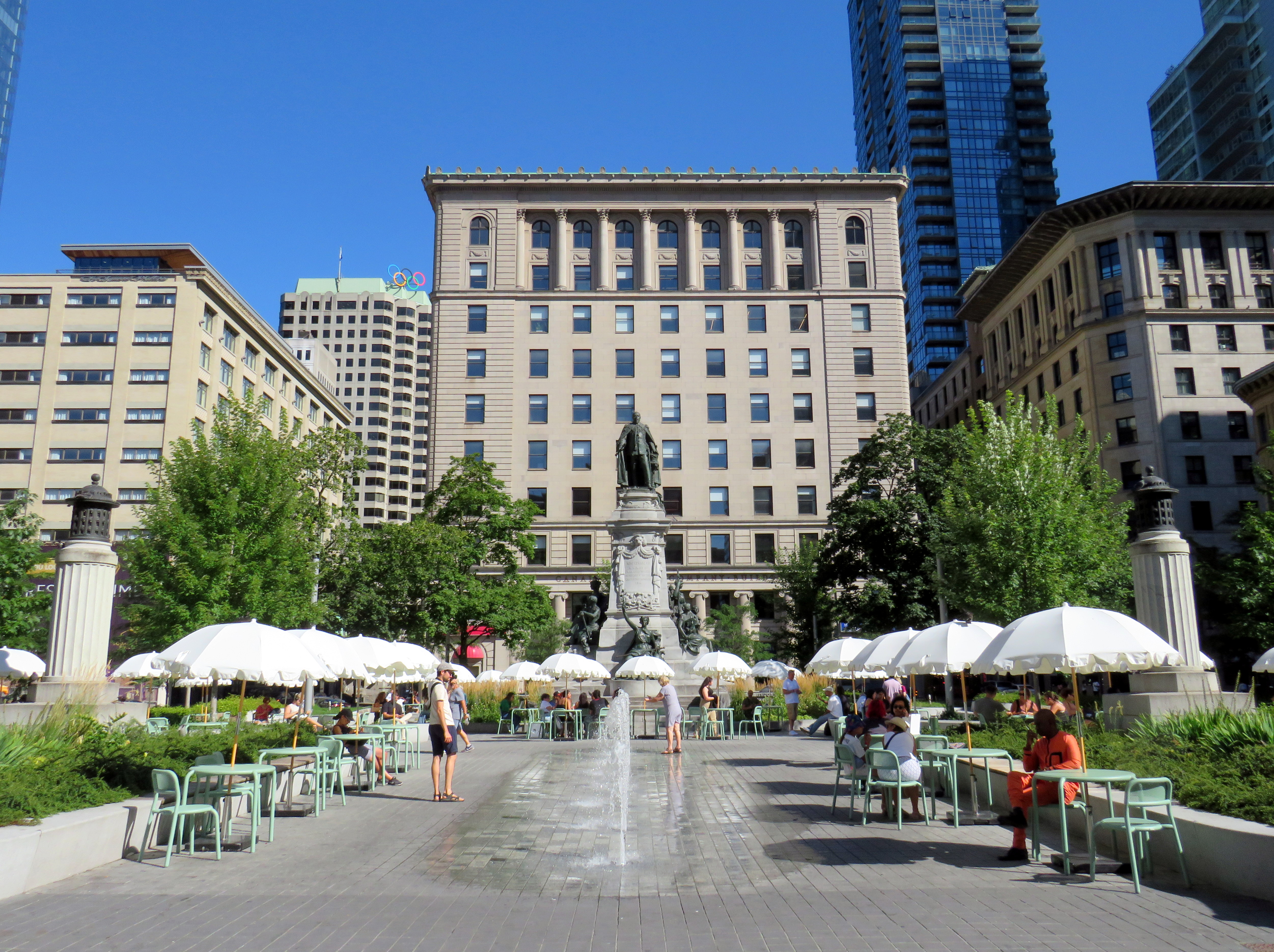
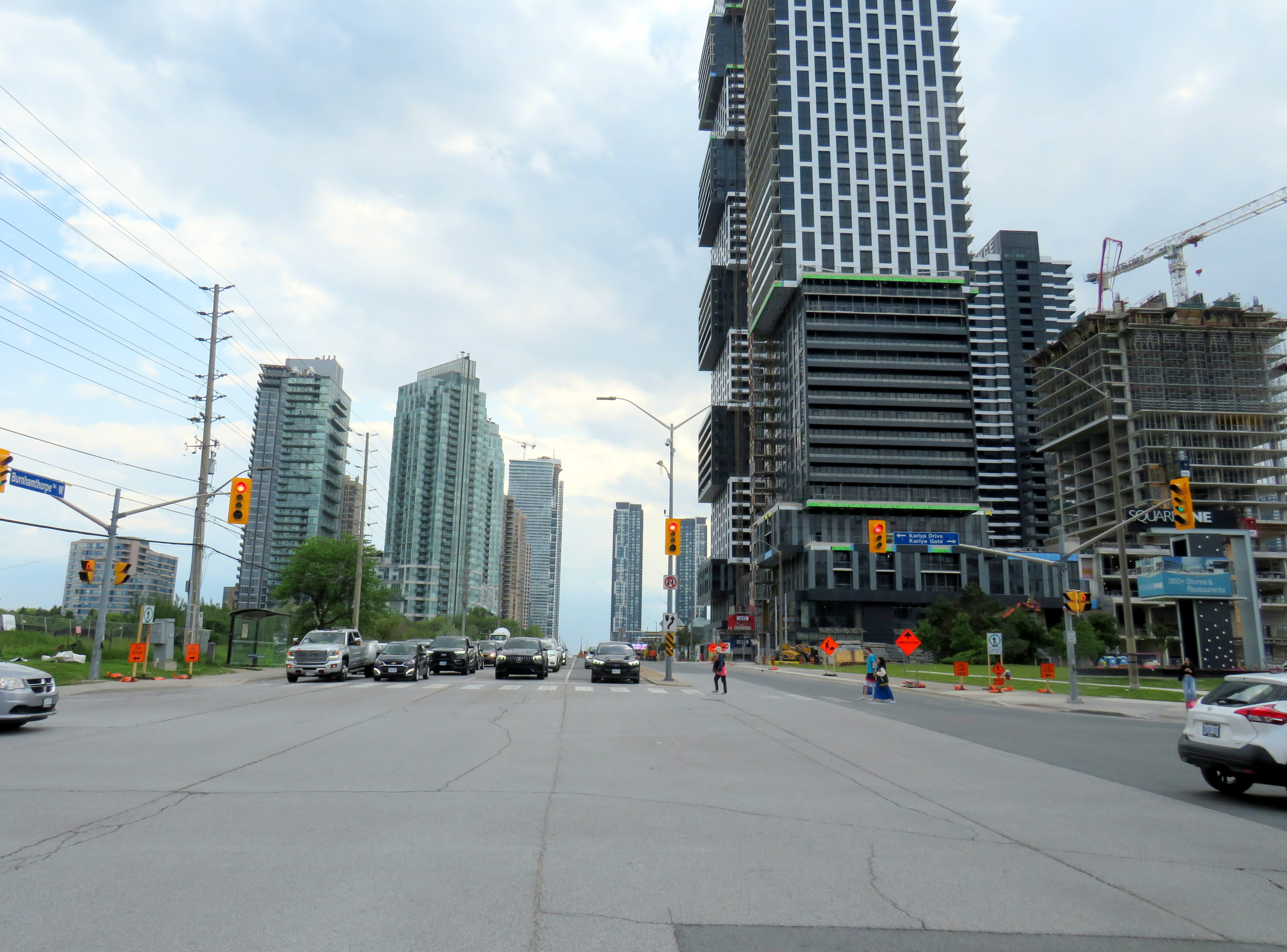
It’s understandable that the St. Clair shooting has gotten lots of attention from the police, news media, and politicians. Despite a continuing decline in violent crime and Toronto’s well-deserved reputation as a safe city, brazen gun violence is frightening, especially in a crowded area where there are thousands enjoying a summer evening. People want to be safe and feel safe while outside their homes. But that also means being able to walk without fear of being struck and killed by a motorist, even when on a sidewalk.
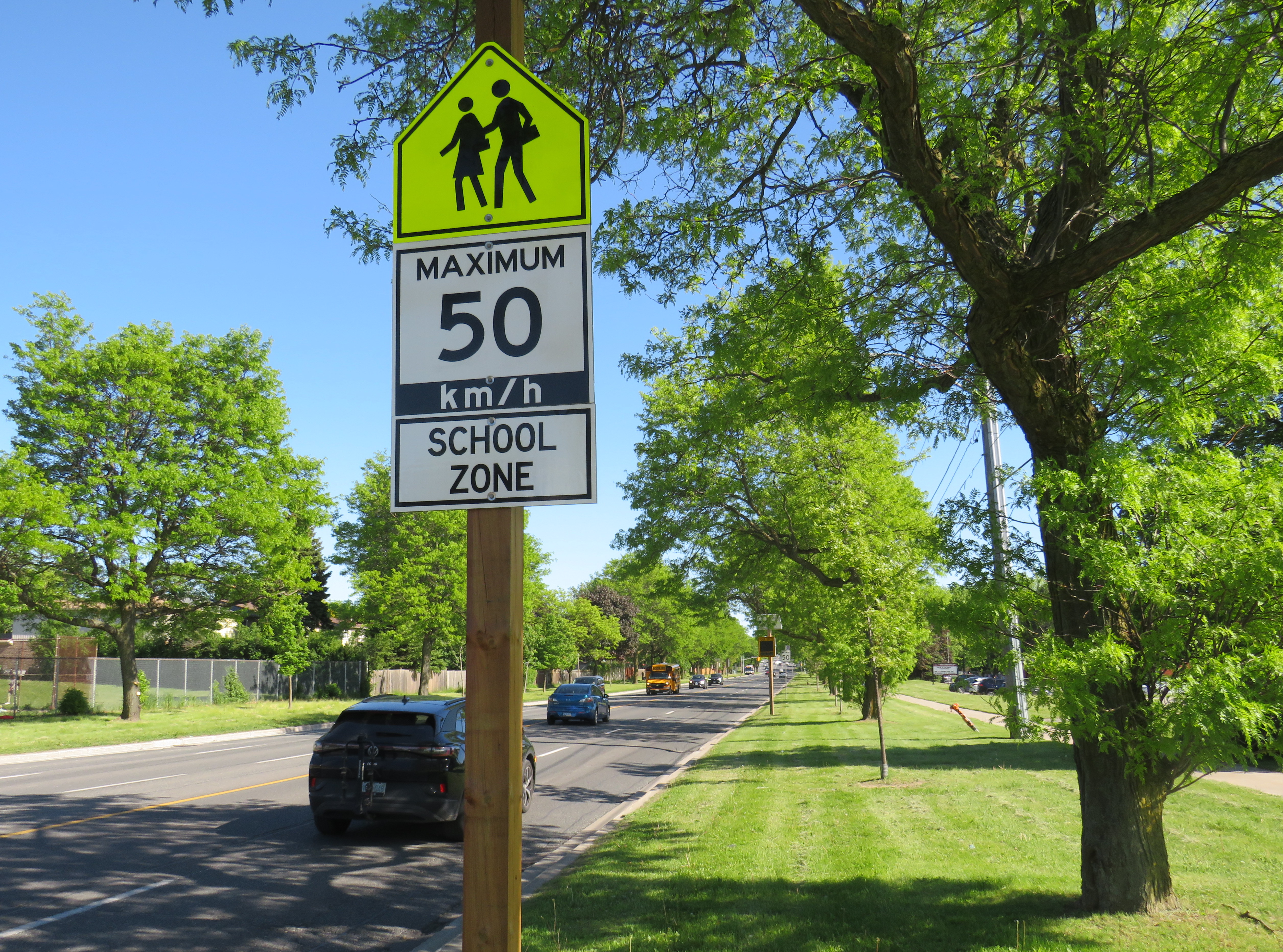
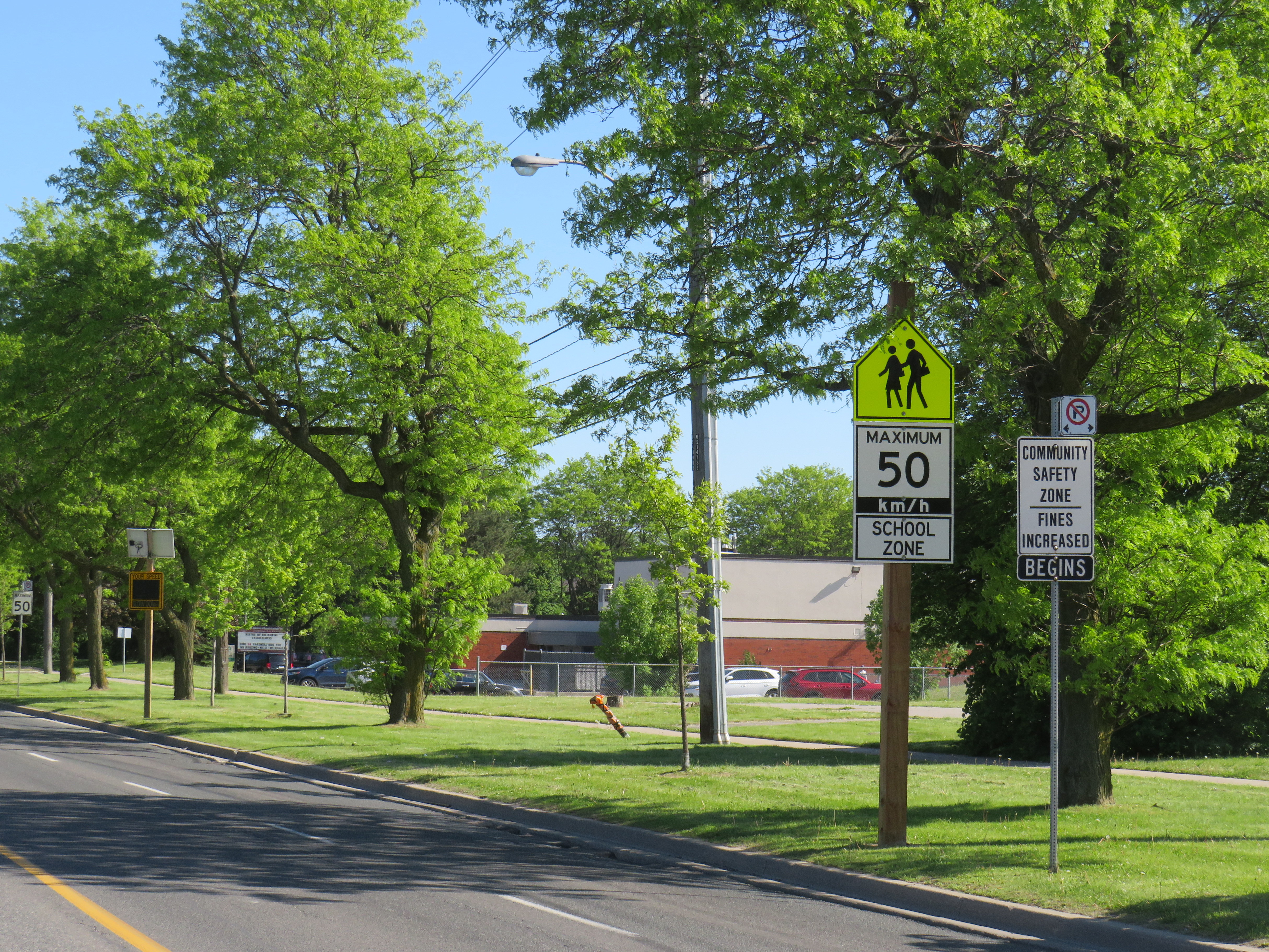
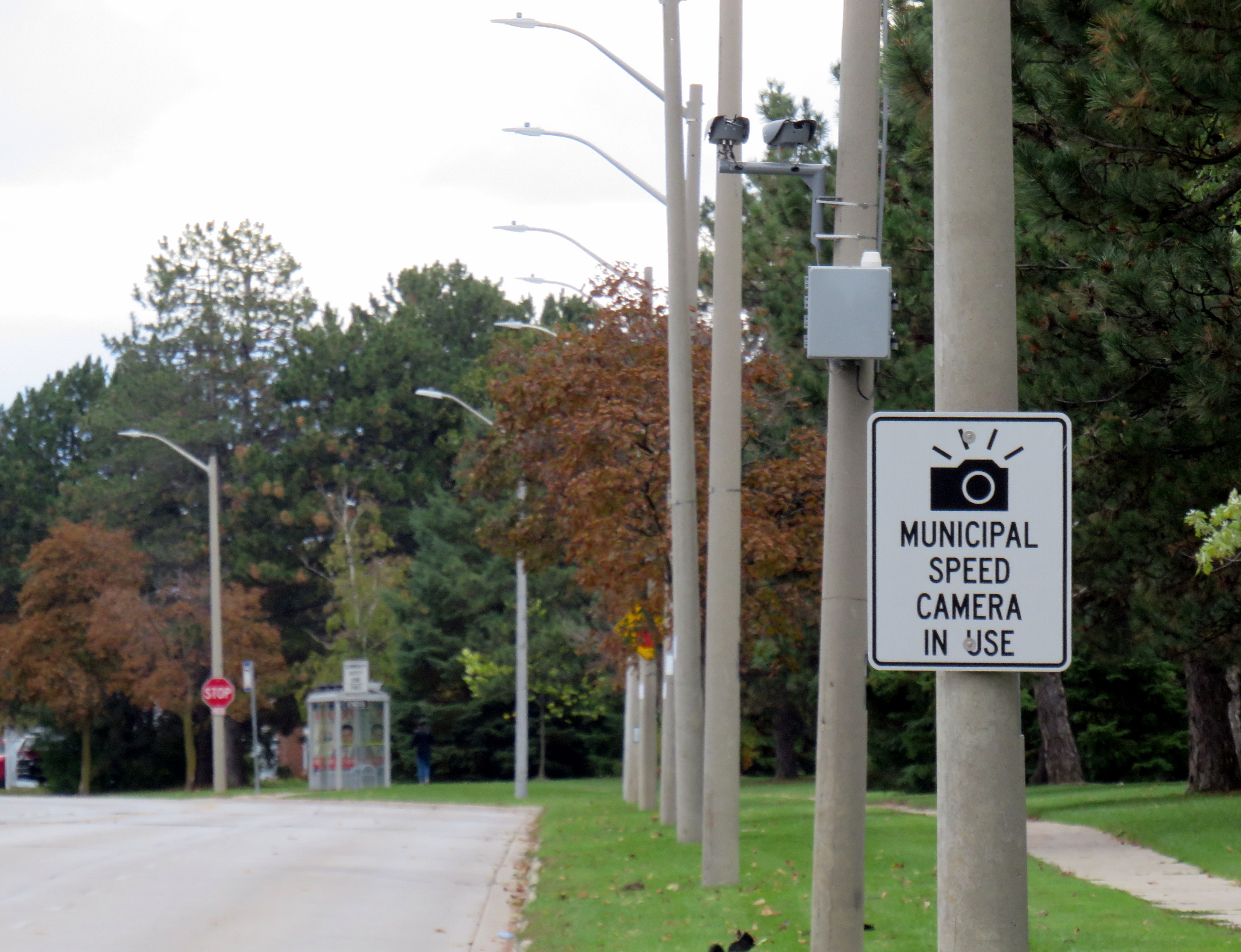
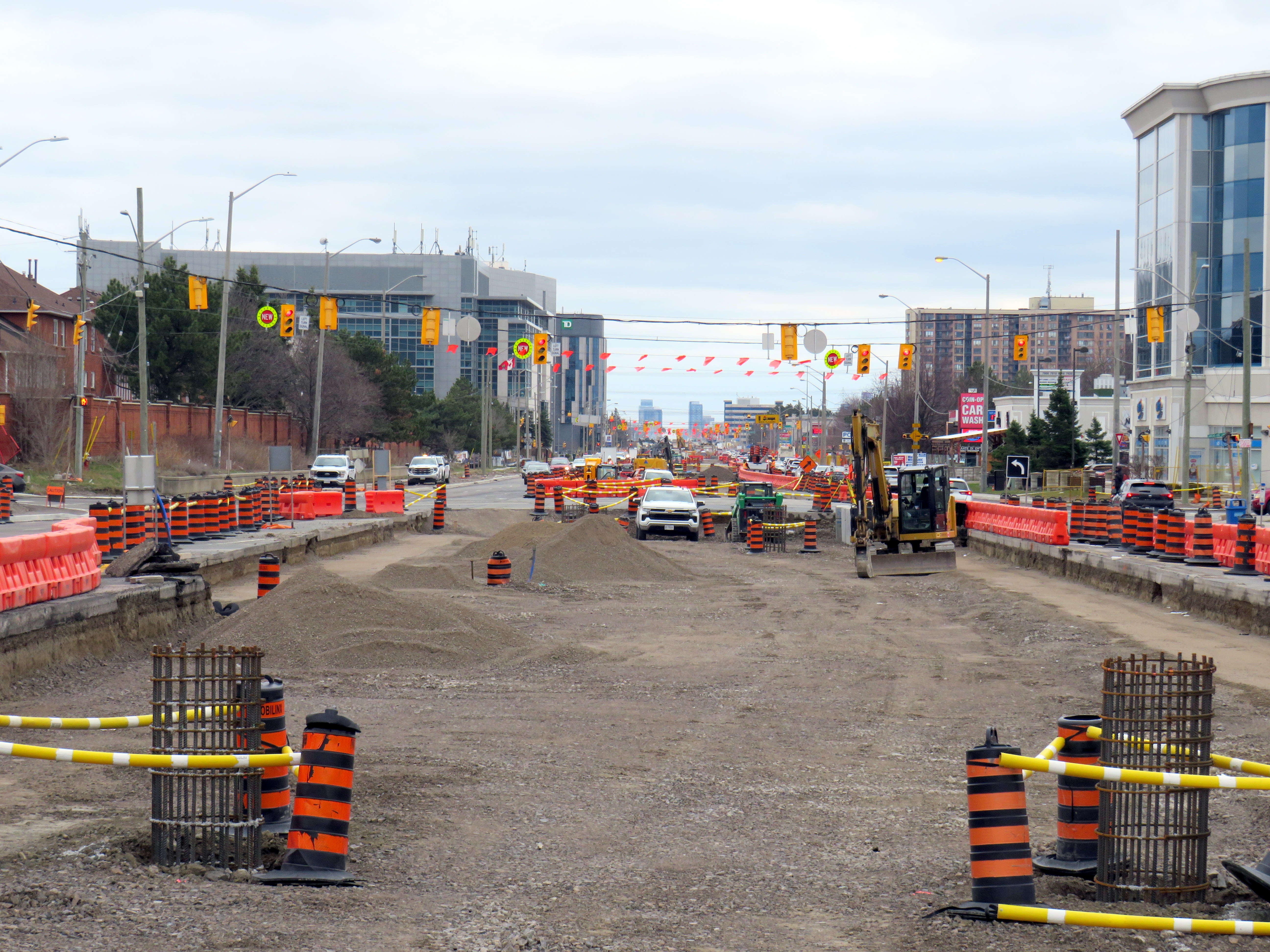
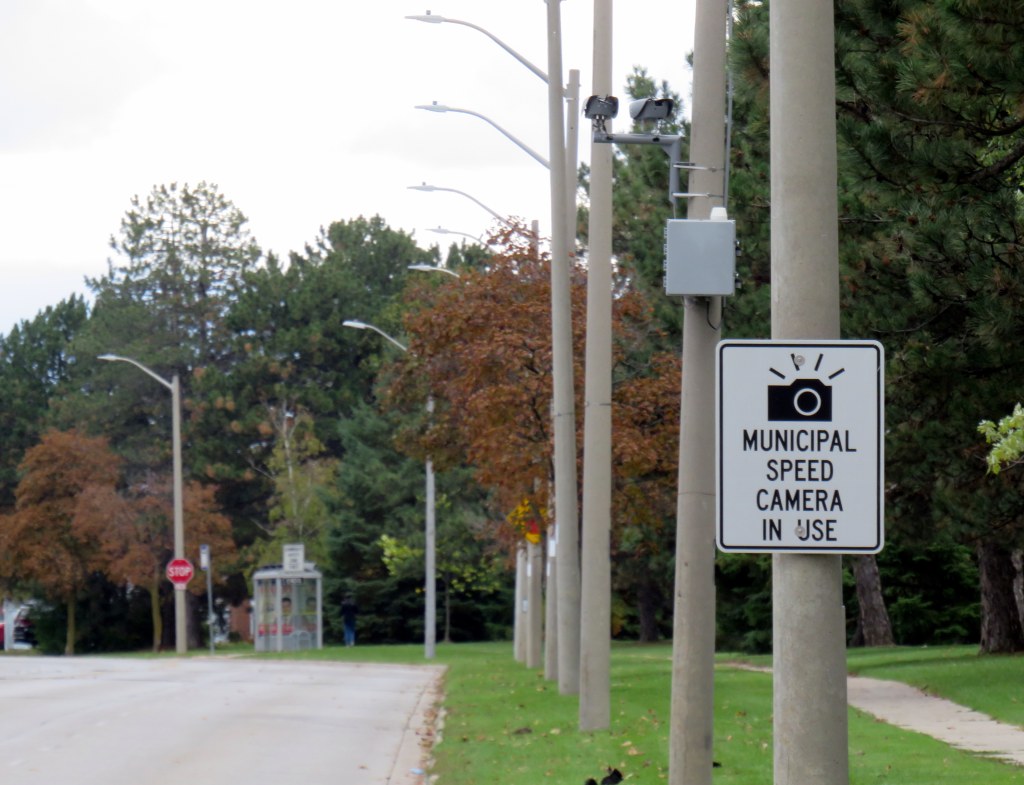
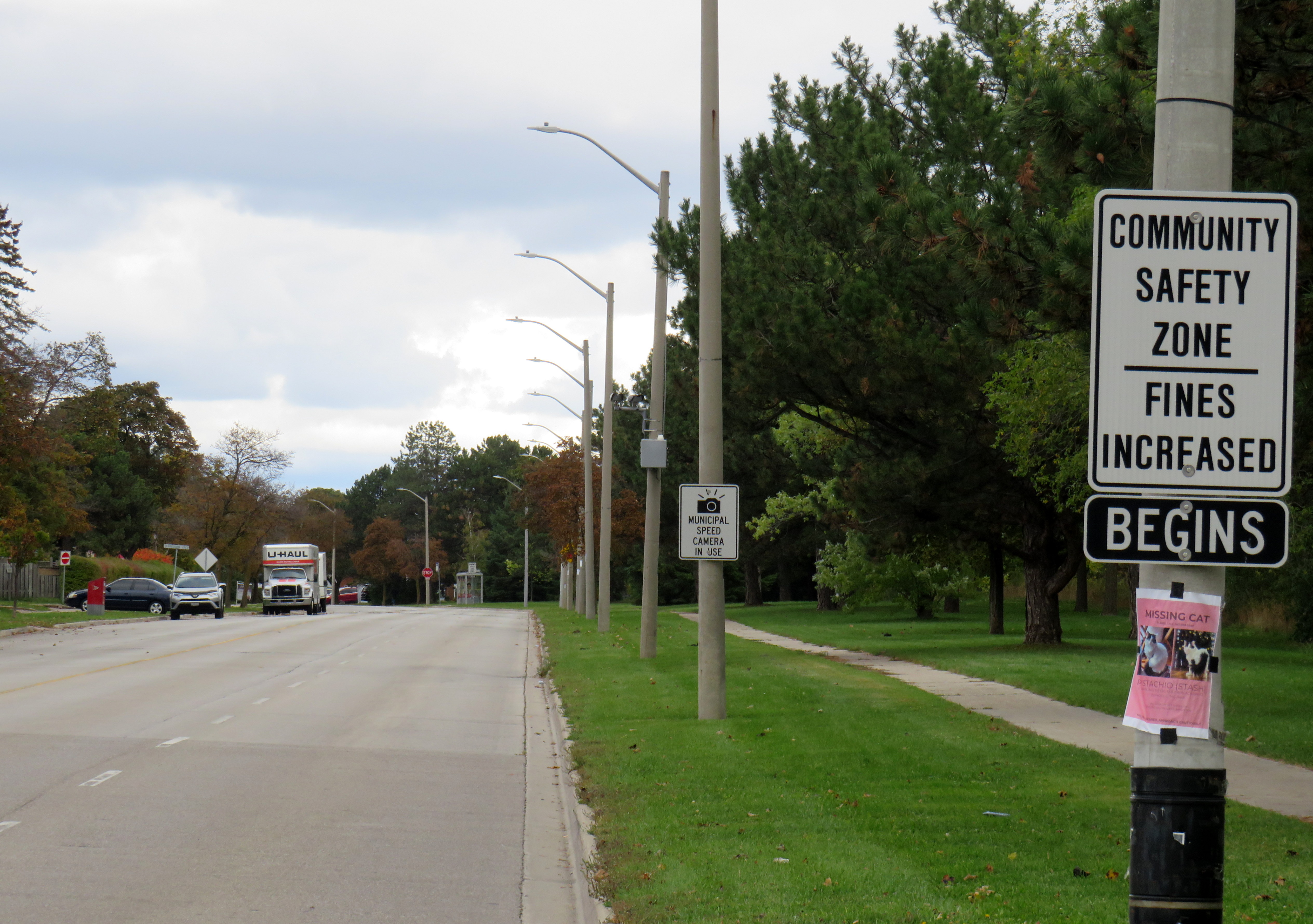
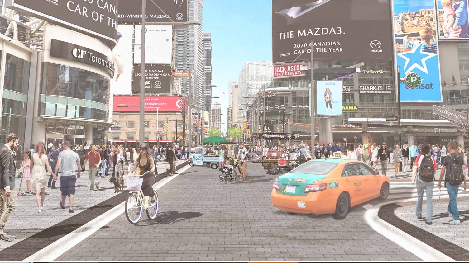
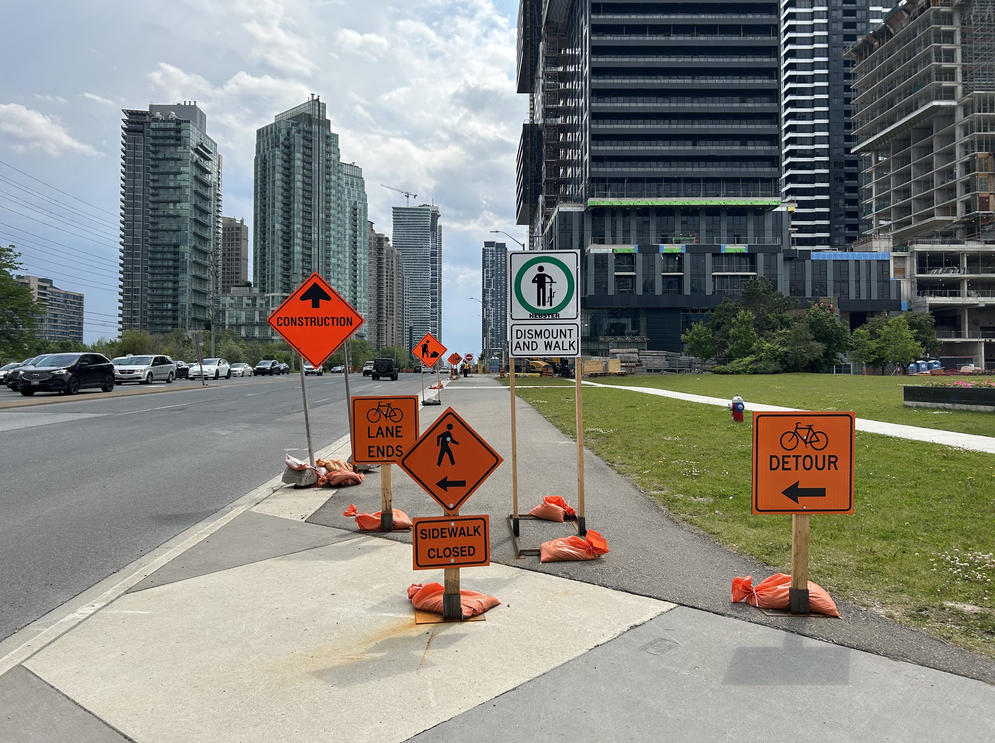
For intermittent street festivals, parades, and temporary pedestrian malls, a lot of attention is already placed on security, especially after recent vehicle attacks. Portable car traps keep vehicles out, while paid duty police and security guards keep watch at intersections and places in between. But we also do very little to protect pedestrians and other road users from dangerous driving. Doug Ford’s provincial government, working against Toronto and other municipalities, moved against bike lane installation (protected bike lanes that serve as a buffer between motor traffic and sidewalks) and speed enforcement cameras, which were working to reduce drivers’ speeds.
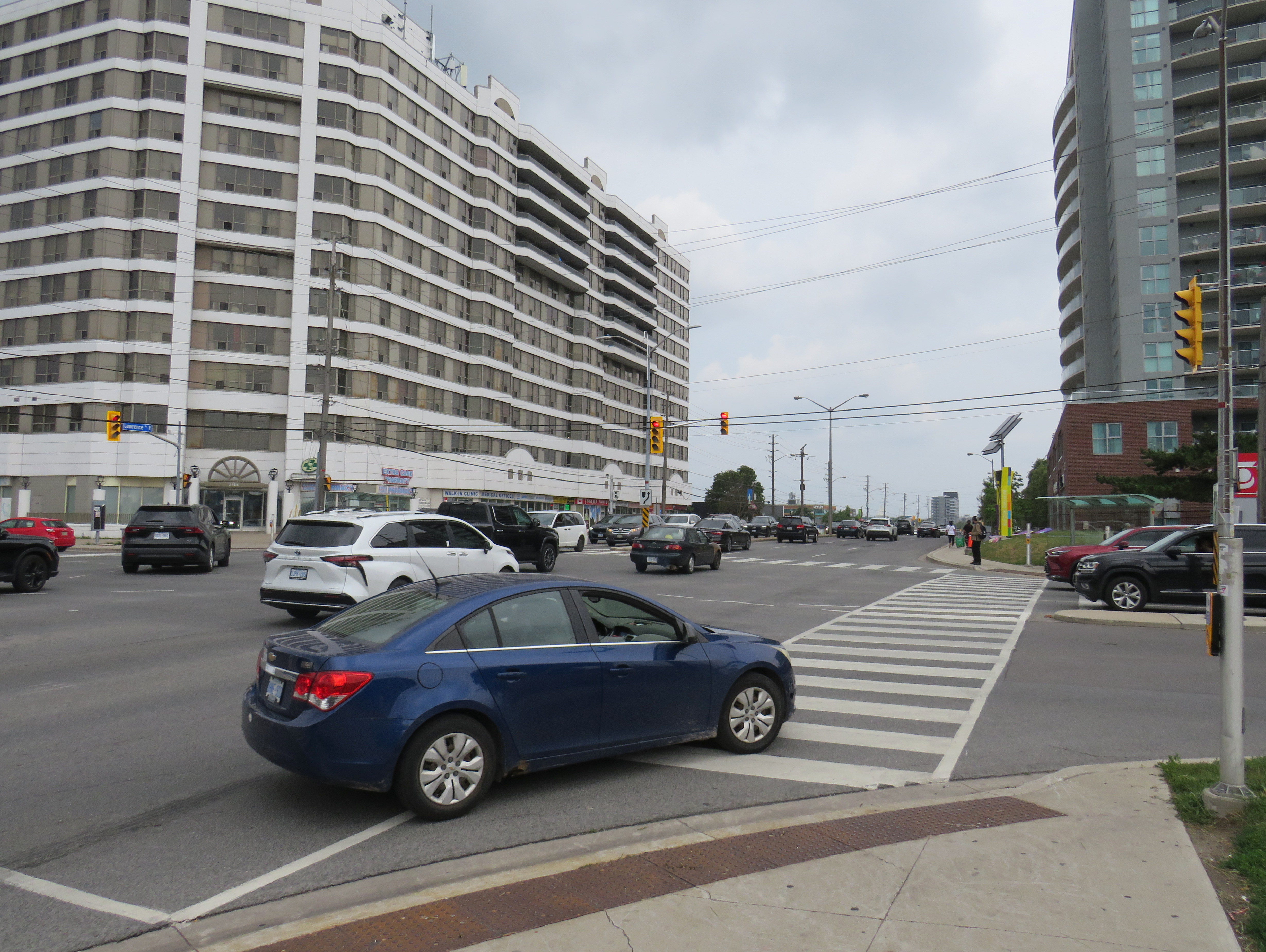
As a society, we are horrified by gun violence, but generally give scant attention to deaths on our roads that result from motorists’ choices. No councillor, mayor, premier, or prime minister spoke out when two bystanders were killed in Scarborough. Their names have still not been released. There’s no follow up to the police investigation, and it has so far merited just one story in the Toronto Star, CBC Toronto, and CP24.
That is a tragedy in itself.