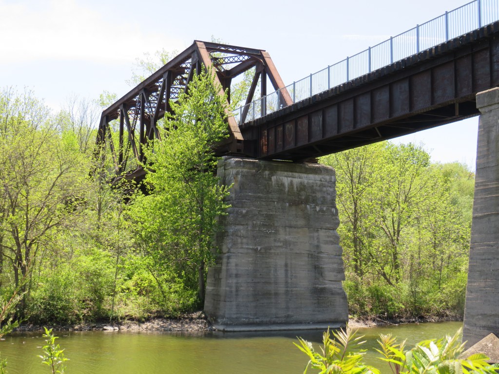
On a beautiful May Thursday, I met one of my colleagues in the village of Waterford. As he is now living in Port Rowan on Lake Erie, this was an opportunity for us to get some important work done, while also exploring one of Ontario’s great small communities.
Though the local area was settled over 200 years ago, Waterford was established as a thriving village with the arrival of the Canada Southern Railway (CASO) which was eventually incorporated into the giant New York Central system. The route through Canada, with its divisional headquarters in St. Thomas, was the fastest line between Buffalo, Detroit, and Chicago. It was joined by the Toronto, Hamilton & Buffalo (TH&B), which connected Hamilton and the Canadian Pacific Railway with CASO at Waterford and at Welland. In 1916, the electric Lake Erie & Northern (LE&N) Railway, another Canadian Pacific property, provided regular freight and passenger service between Port Dover, Brantford, and Kitchener. By the 1990s, all three railways were abandoned, but their former rights-of-way remain in active use as part of the local trail network.
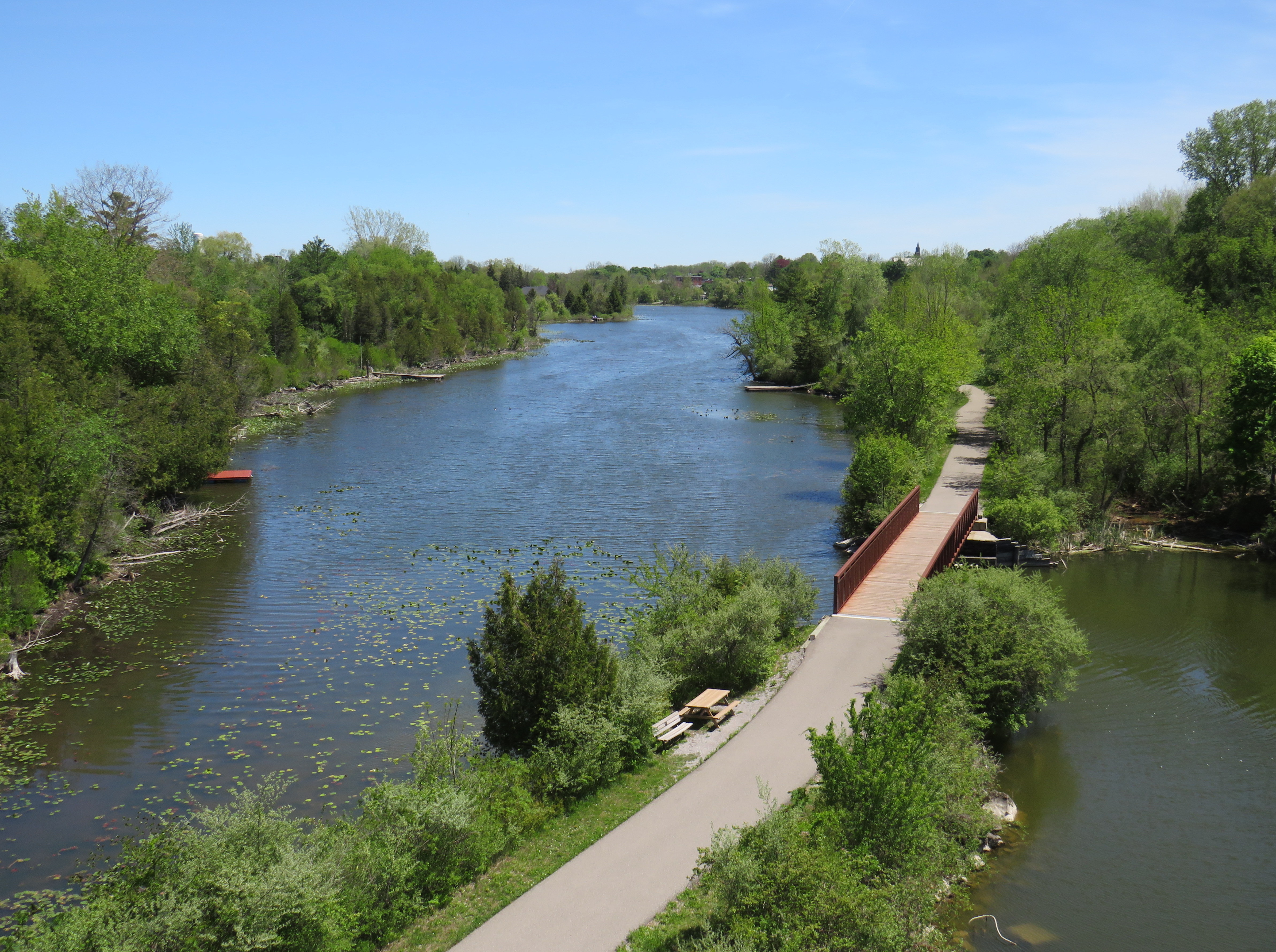
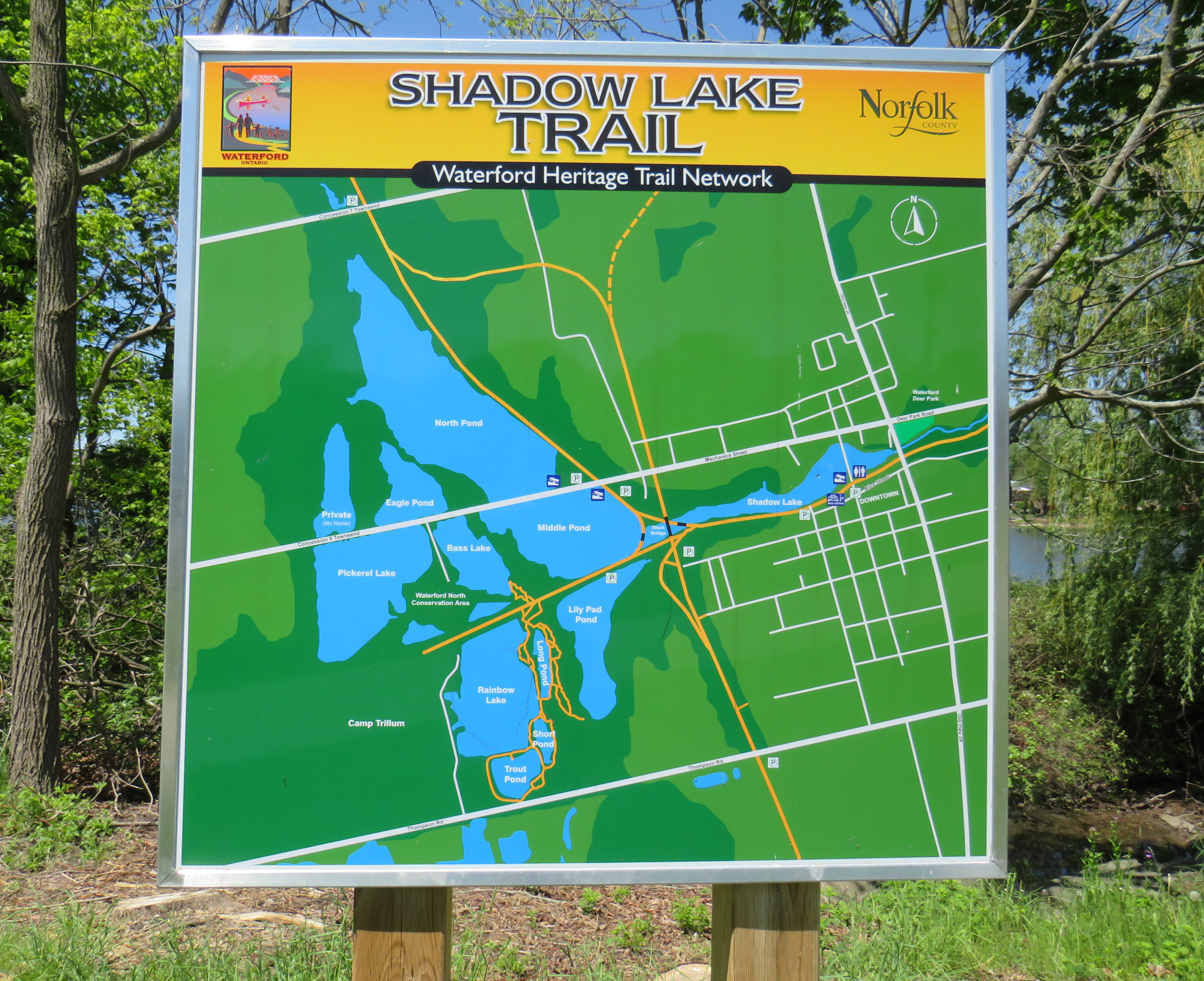
The large system of ponds around Waterford, popular with birds, boaters, and anglers, are artificial. Shadow Lake was a millpond created by damming Nanticoke Creek. When constructing its railway, CASO found the sand and gravel deposits in this area irresistible for exploitation; the gravel was first used for railway ballast; larger aggregate pits created new ponds to the west.
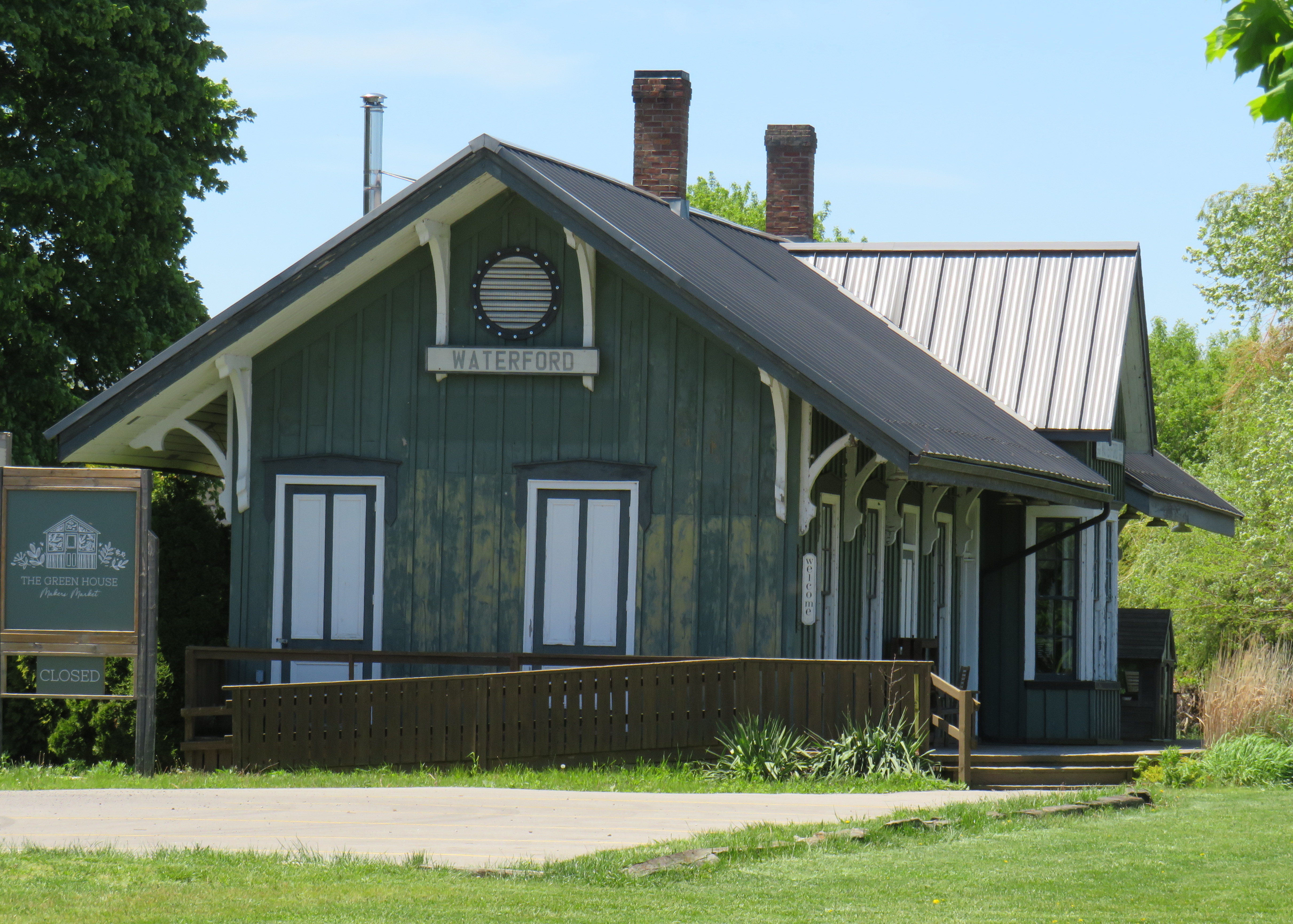
The former Canada Southern Railway Station, which also served the TH&B, still stands, and has recently been home to an artisan market. Sadly, the LE&N station was demolished in the 1970s.
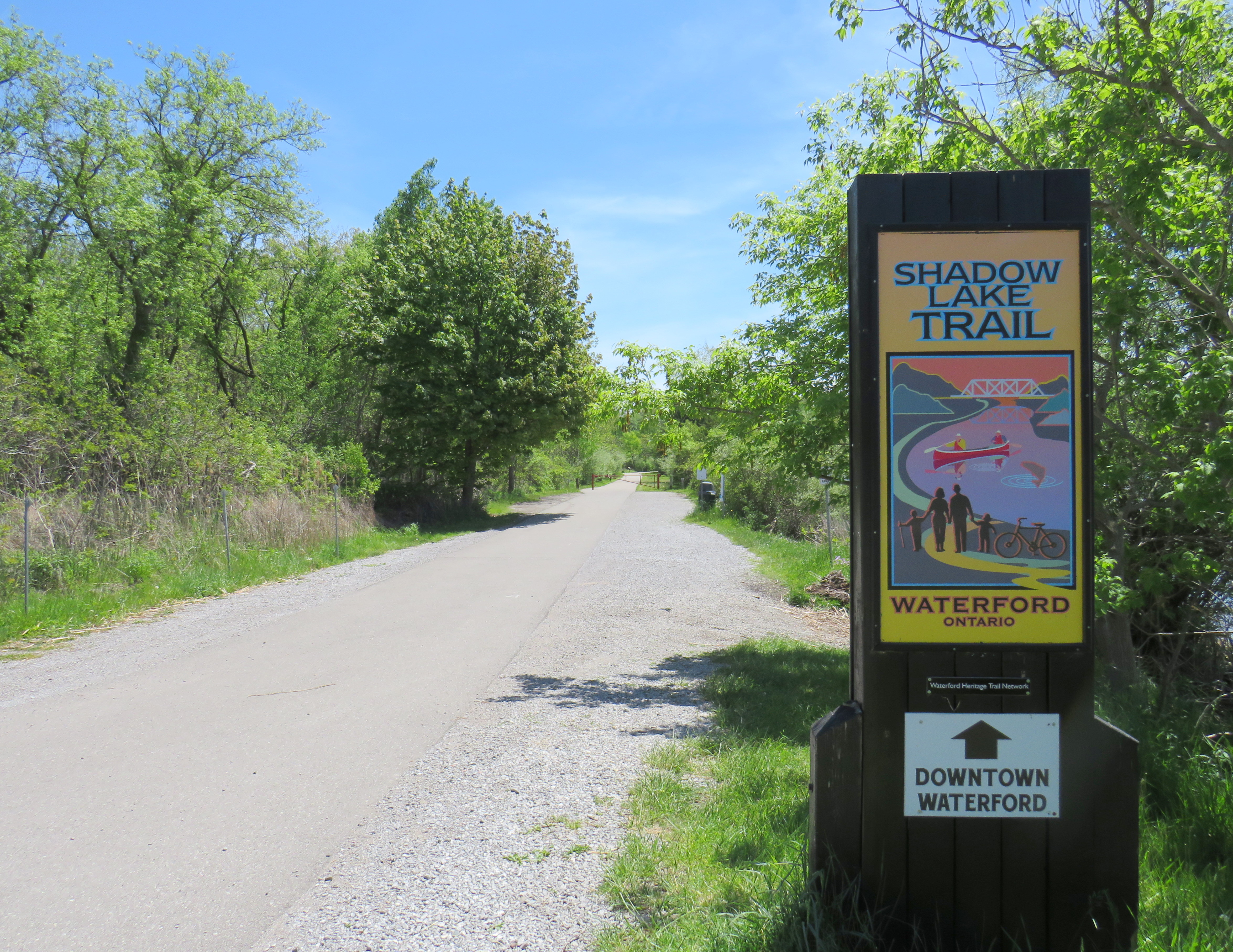
Despite the loss of the railways and the LE&N station, the railway rights of way are fully intact within the village area and have been converted to trails. Within Waterford, the east-west Shadow Lake Trail follows the former CASO route between the Waterford Conservation Area to the west and Lingwood Park to the east, though it is not part of a continuous trail system across southwestern Ontario. Only short sections within Waterford, Tillsonburg, St. Thomas, and Essex are open to the public; most of the old railway corridor was sold off to local landowners in the late 1980s and early 1990s.
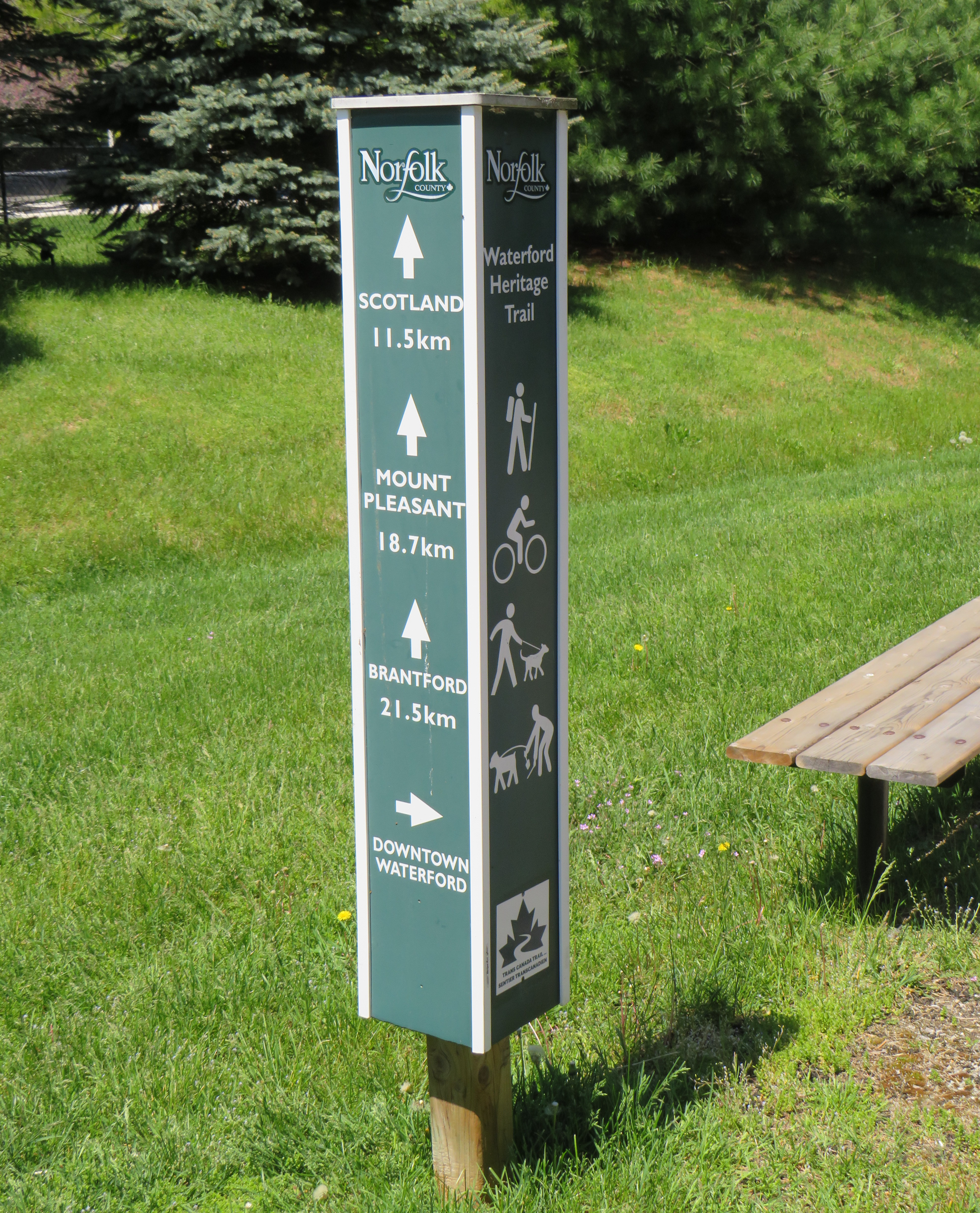
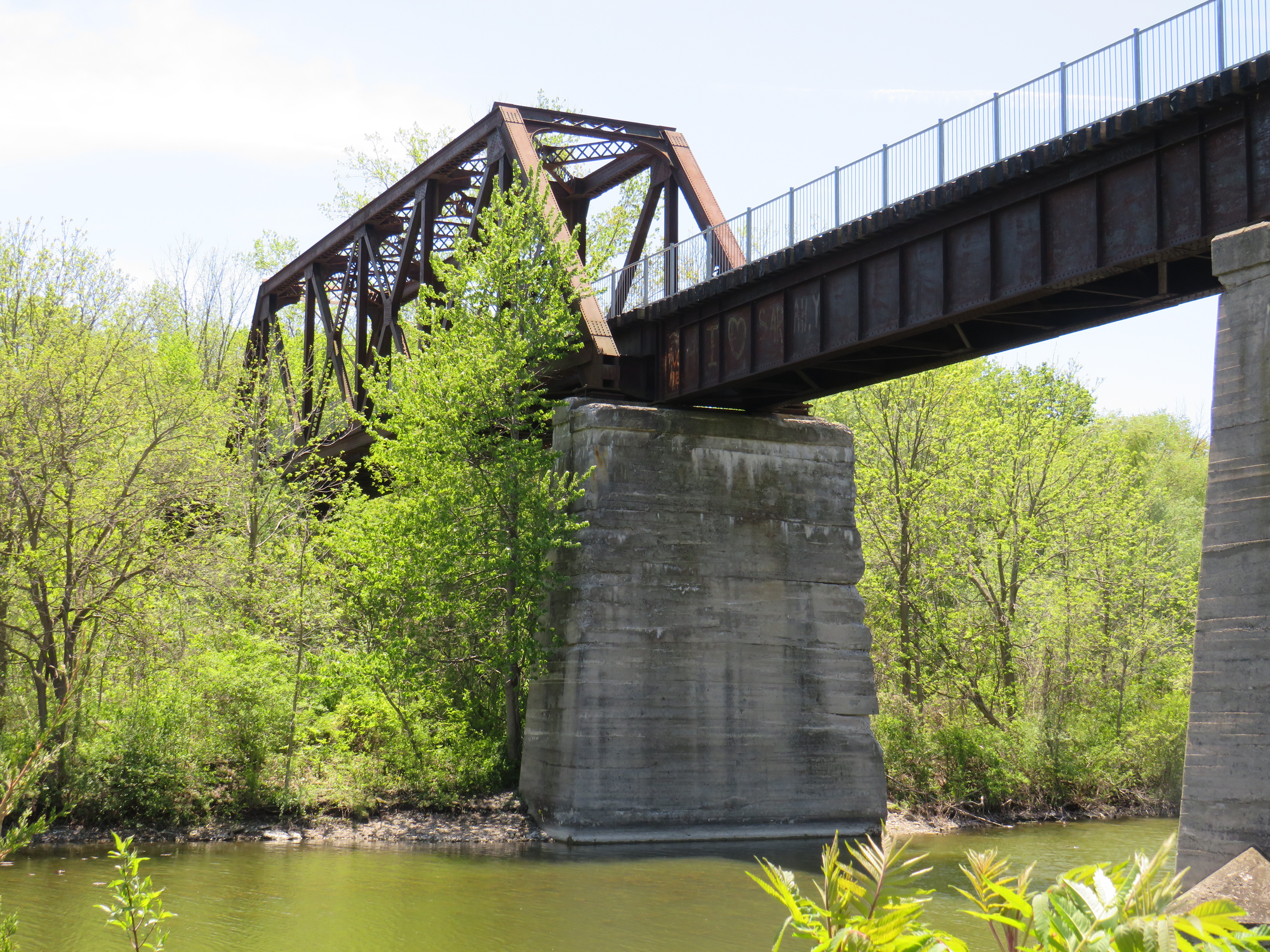
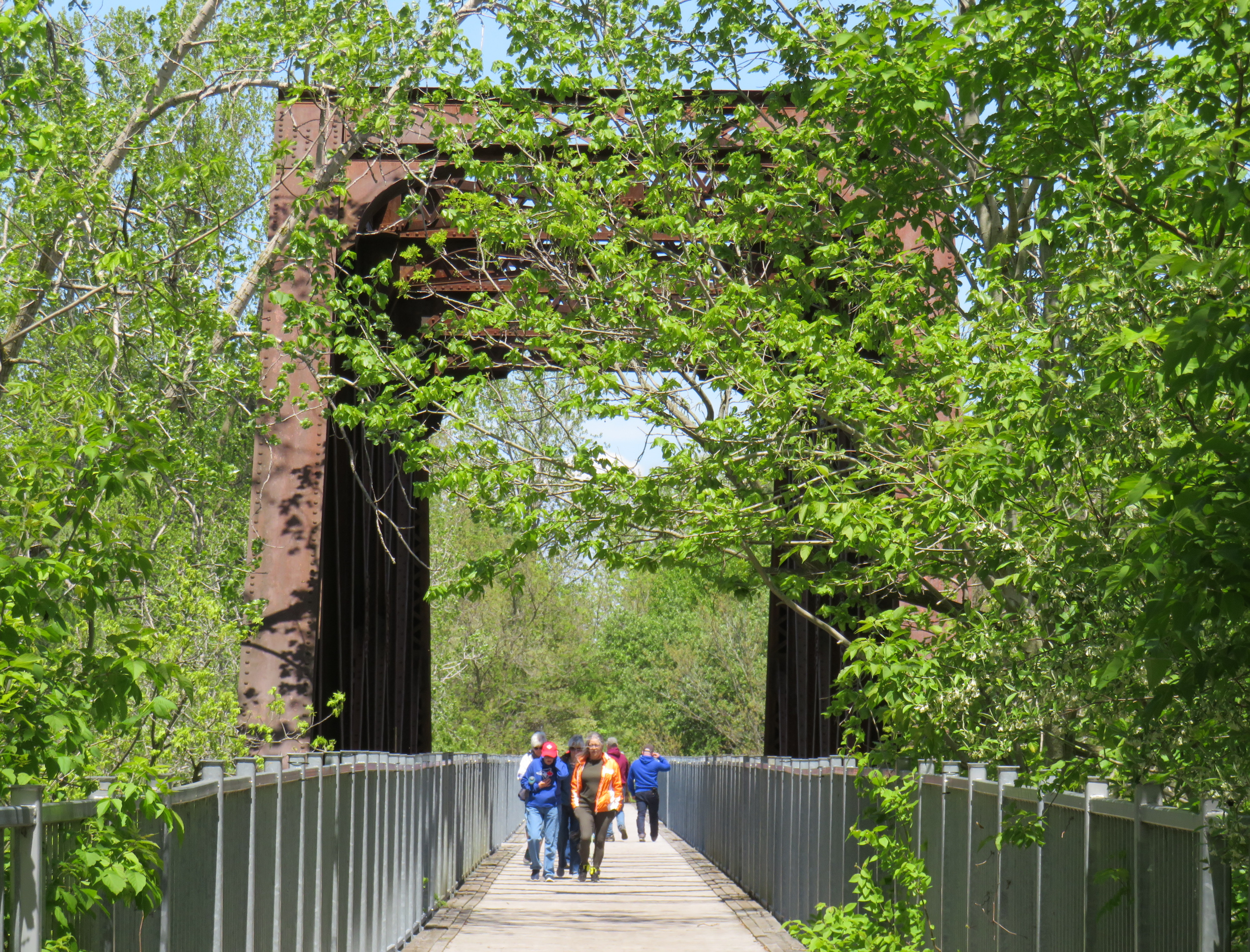
However, the north-south LE&N Trail, which connects to the Shadow Lake Trail by way of a gentle paved pathway or a metal staircase, is part of a much longer rail trail corridor that continues north to Brantford (the trail shifts to the TH&B route north of Waterford) and south to Simcoe and Port Dover. At Brantford, it is easy for the ambitious cyclist to continue east to Hamilton or north to Paris, Cambridge, and Kitchener via connecting high-quality rail trails. The Norfolk County Trail is at its scenic best when it crosses over the Waterford area via the Black Bridge.
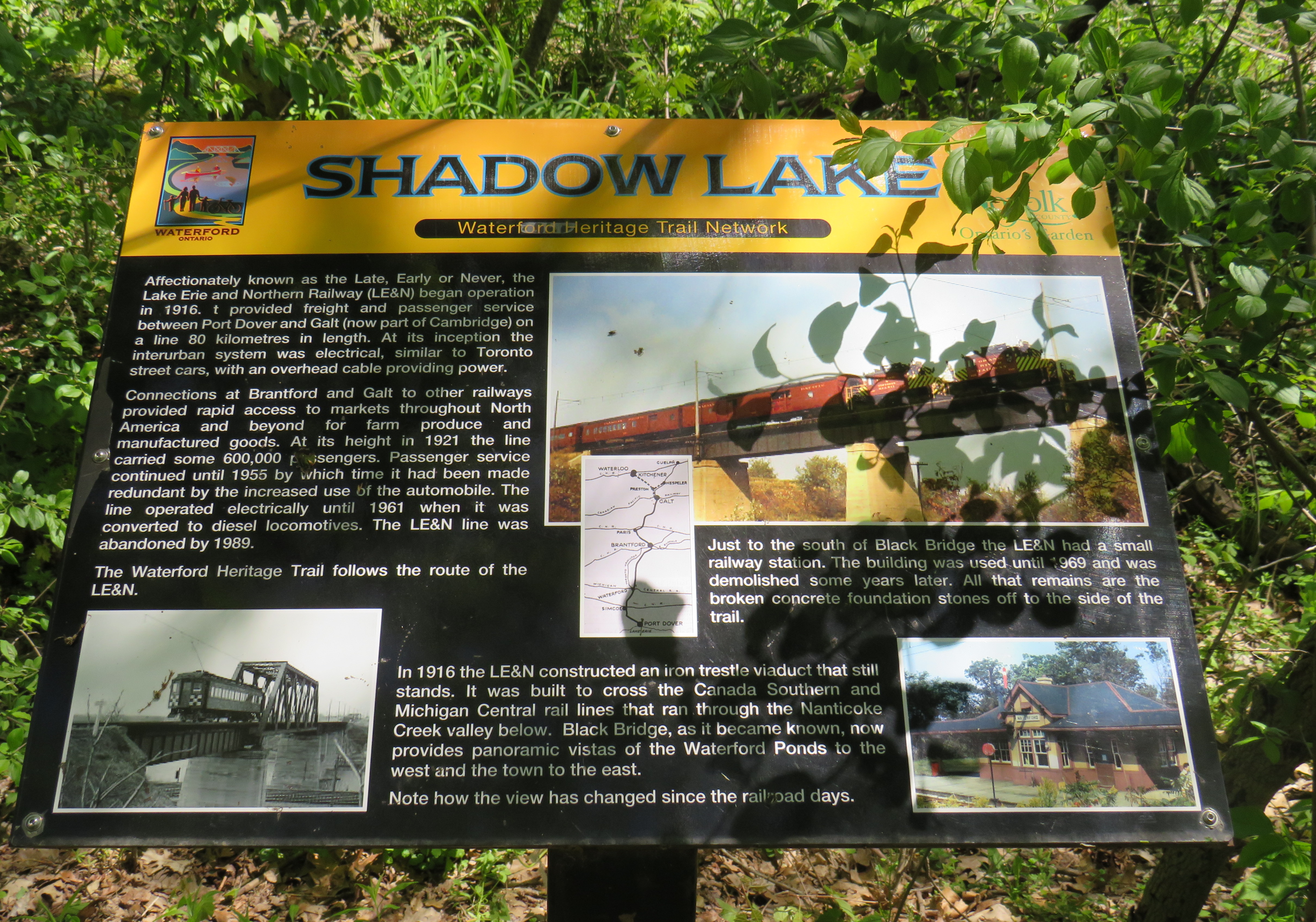
One aspect that I especially appreciated was all the interpretive plaques along the trail system that told the story of Waterford, local industry, and the railways. This is how I learned that the ponds were the result of milling and quarrying, rather than truly natural features.
Despite their attractiveness for long-distance cyclists, the trails within the Waterford area are well-used by residents and visitors going for shorter walks. The trail network within Waterford connects well to local streets and to itself by way of the former low-level TH&B wye tracks, which also cross the ponds. A walker can easily do a round trip without backtracking while being surrounded by nature. Wayfinding signage is very good, and benches are plentiful. The ponds are a great spot for bird watching. As we know how good walking is for our physical and mental health, Waterford is blessed with this network and could be a model for other smaller urban centres and rural communities.
Within the little downtown, there are public washrooms for trail users as well as several restaurants, cafes, and a craft brewery located in a former textile plant. There are also several antique dealers, a public library, and other small shops.
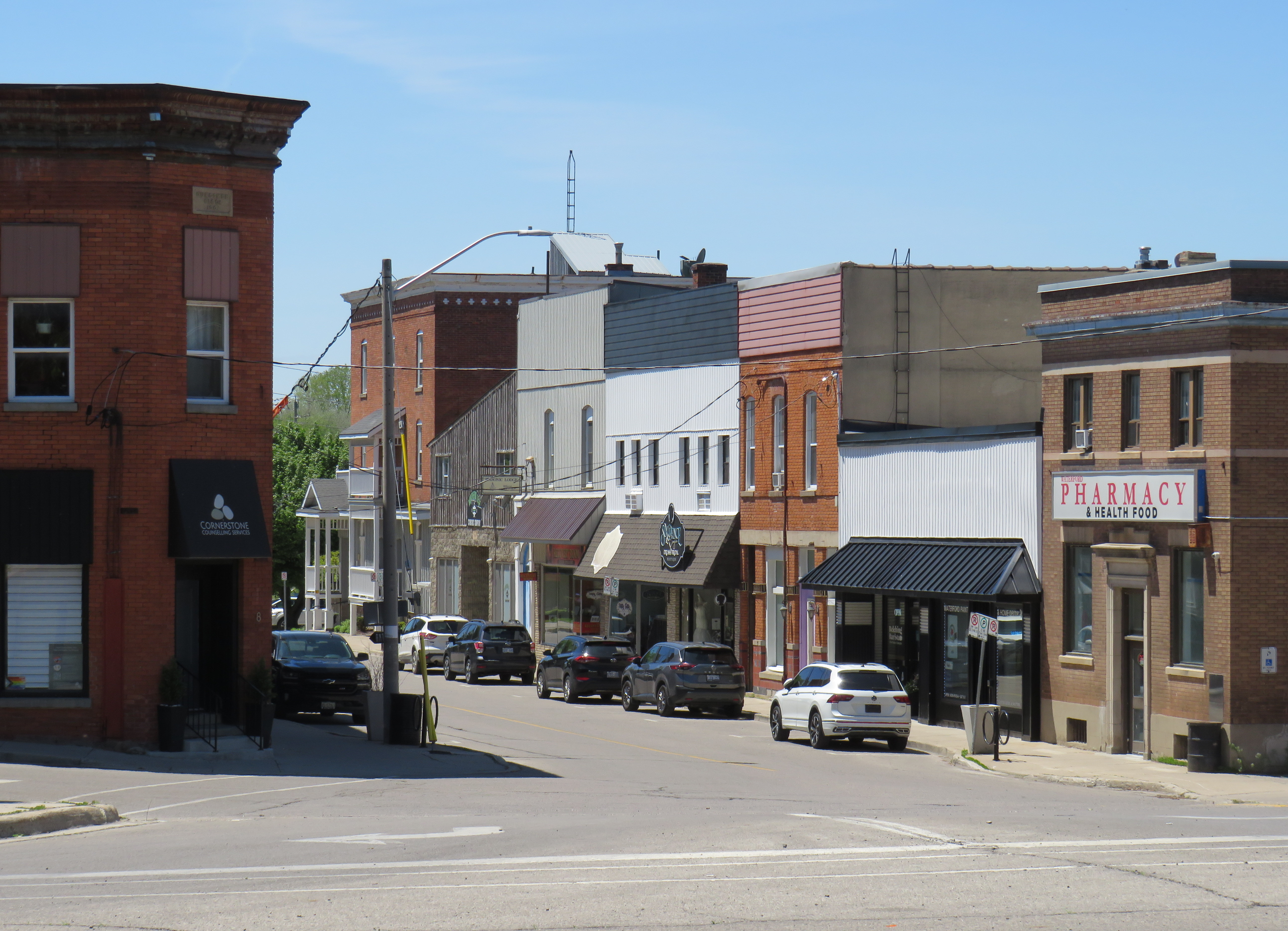
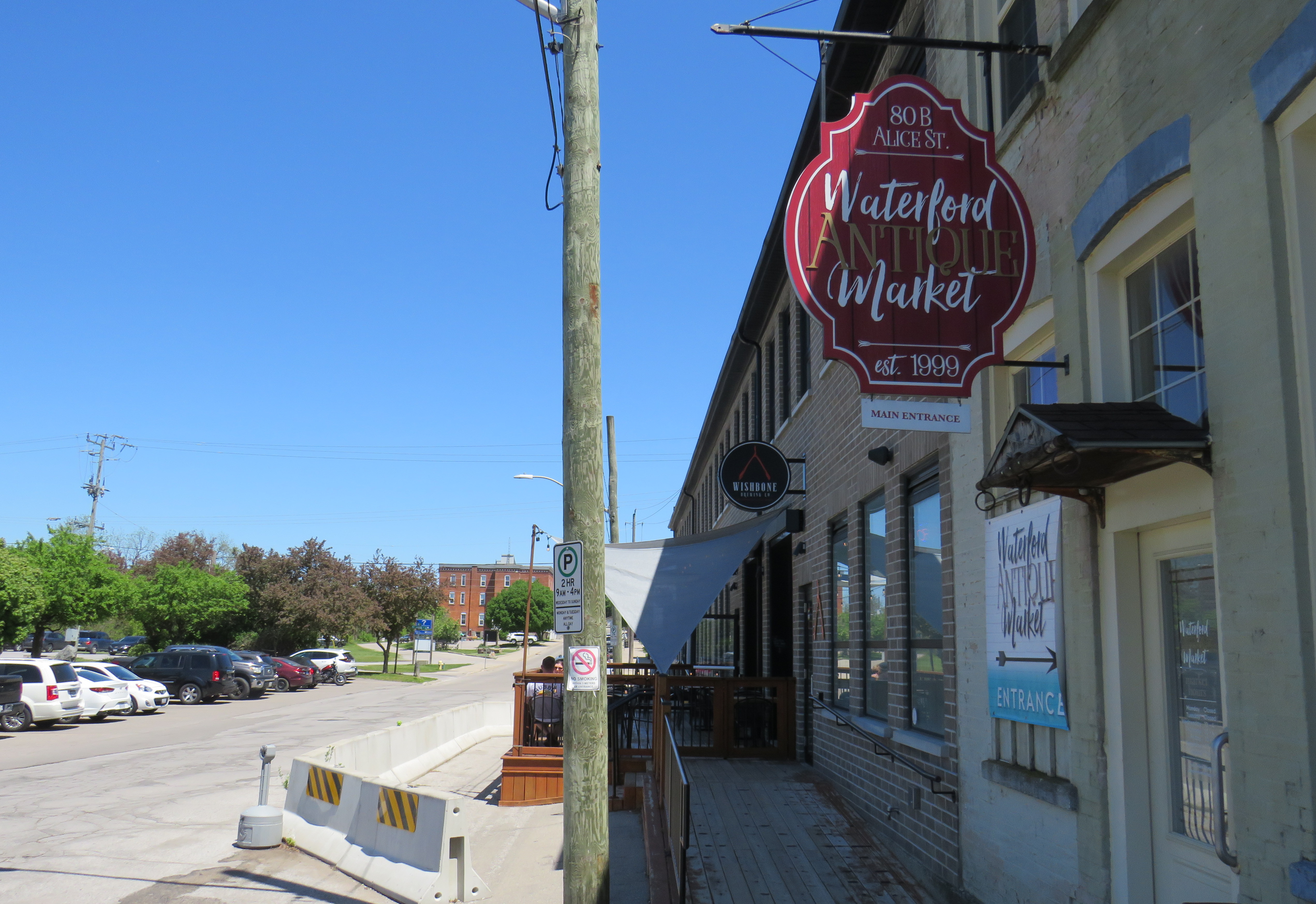
Despite all that Waterford has to offer, there is one thing that can be improved to make it safer to get around. Alice Street, the main commercial strip in Waterford, meets Old Highway 24 at an unsignalized crossing. Though busy Highway 24 now bypasses Waterford, the old highway is still busy, with drivers exceeding the 40 km/h posted speed limit. The Waterford library branch and northbound bus stop towards Brantford are on the opposite side of the wide T-intersection from the Alice Street businesses; it is surprising that there is no traffic signal here to control auto traffic and provide a safer pedestrian crossing.
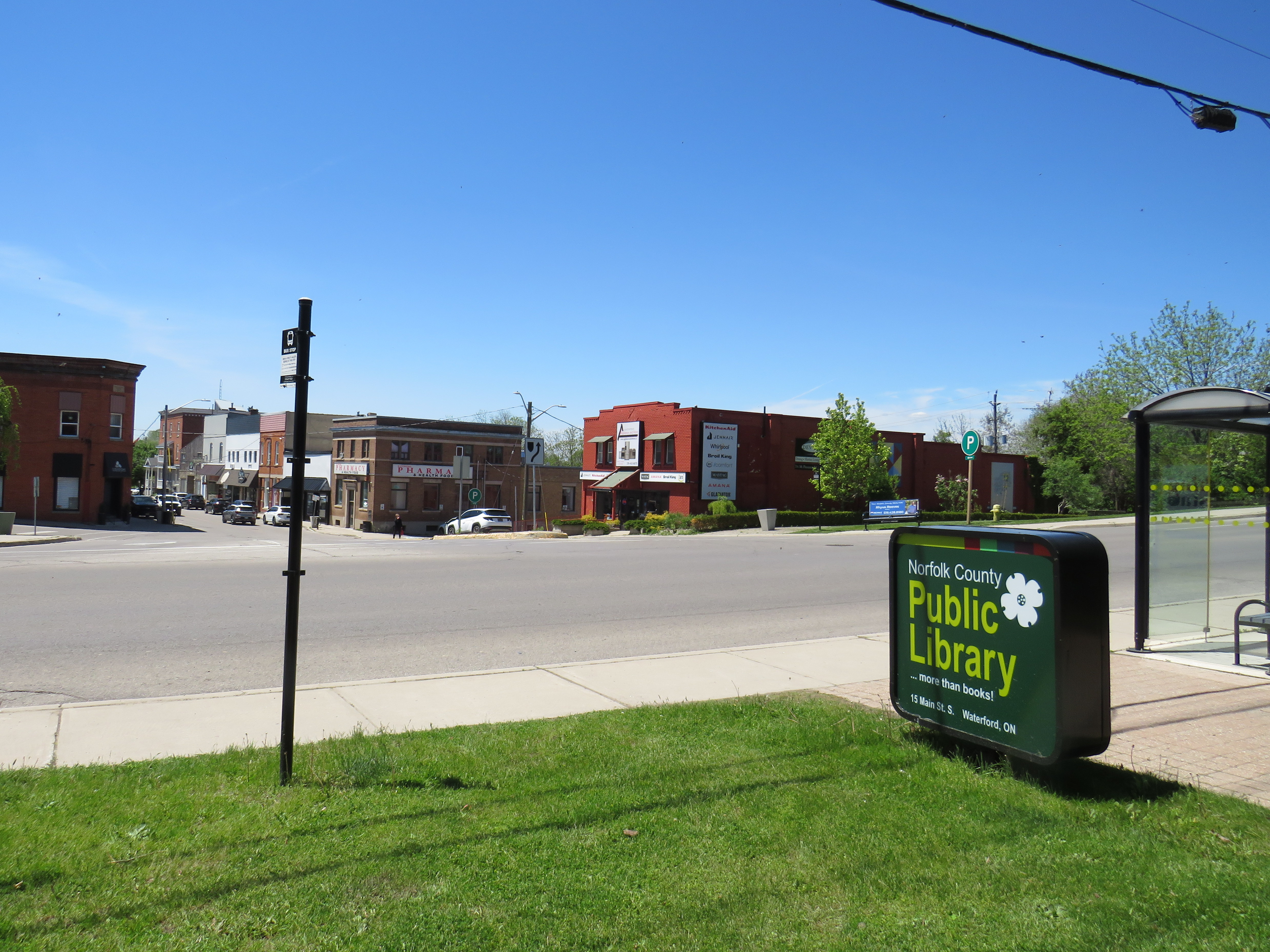
Though there is a traffic signal 200 metres to the south at Nichol Street, most pedestrians opt to cross at Alice Street instead. According to Google Streetview, there was a signed pedestrian crossing at Alice Street in 2009 but was removed by 2012.
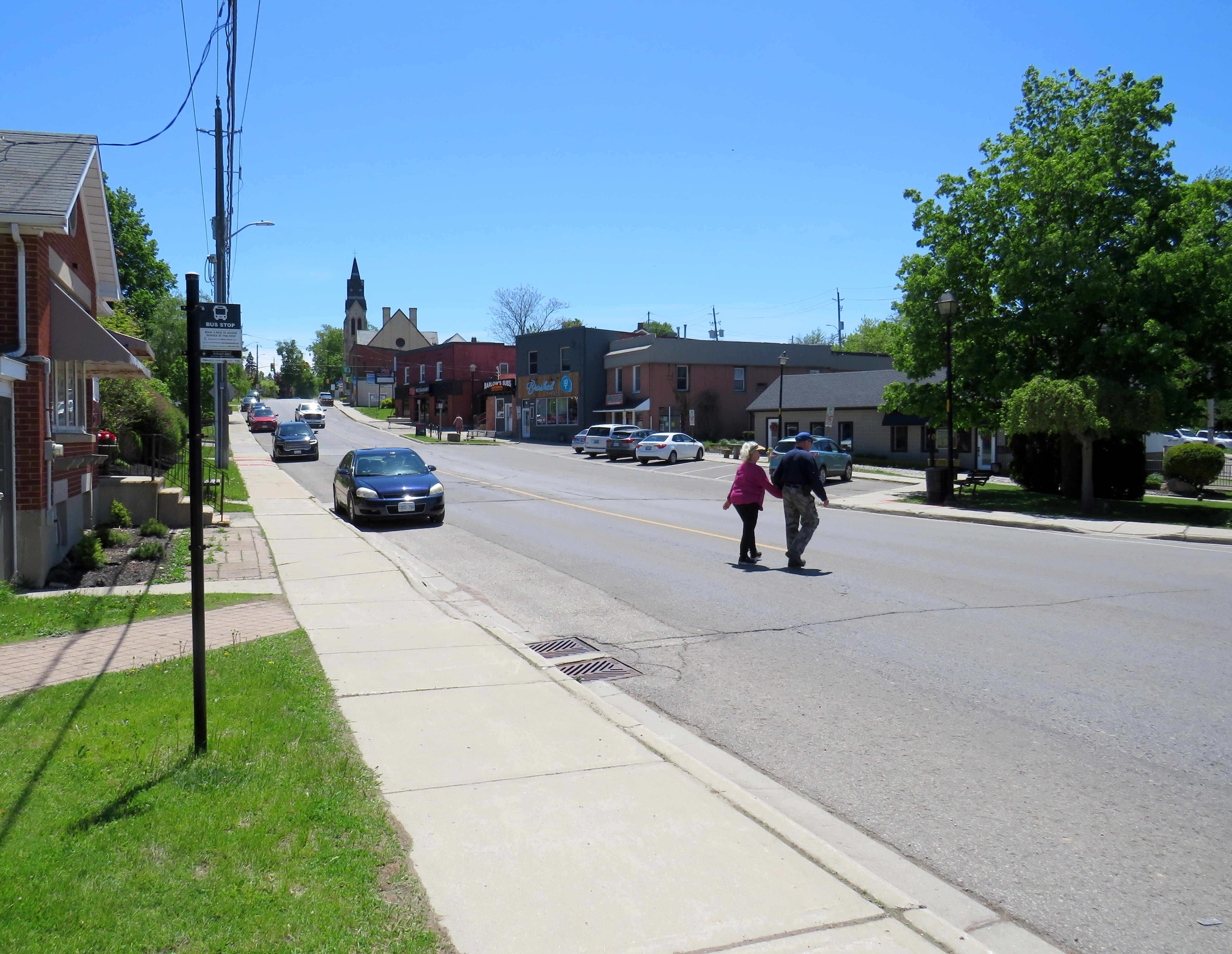
Waterford is under a two hours’ drive from Downtown Toronto, though it is accessible without a car. GO Transit and VIA Rail both serve Downtown Brantford, where on weekdays, one can take a Ride Norfolk minibus south to Waterford. Cyclists from Hamilton or Toronto can take GO Transit buses to Brantford and bike south down the TH&B Rail Trail to Waterford on a relaxed 90-minute ride. From Simcoe, it’s an easy 45-minute ride.
In general, Ontario can do so much better promoting sustainable tourism and travel by way of transit, walking, and cycling, as there are many places like Waterford that are easy to get to and around without a car that are not especially well-known, and there are many opportunities to improve public and active transportation links to other communities throughout the province. Though some communities, like Brantford, Hamilton, and Peterborough are very well connected to multiple trail systems radiating outwards in multiple directions, other cities and towns are not so lucky.
Though St. Marys and St. Thomas, for instance, also have made great use of former rail infrastructure, they are lacking safe, high-quality active transportation connections to nearby cities like London or Stratford. Lindsay, in Kawartha Lakes, is at the nexus of several trails as well, but it lacks any intercity bus connections of its own. A provincial strategy could go a long way.


Leave a Reply