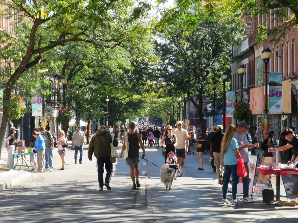
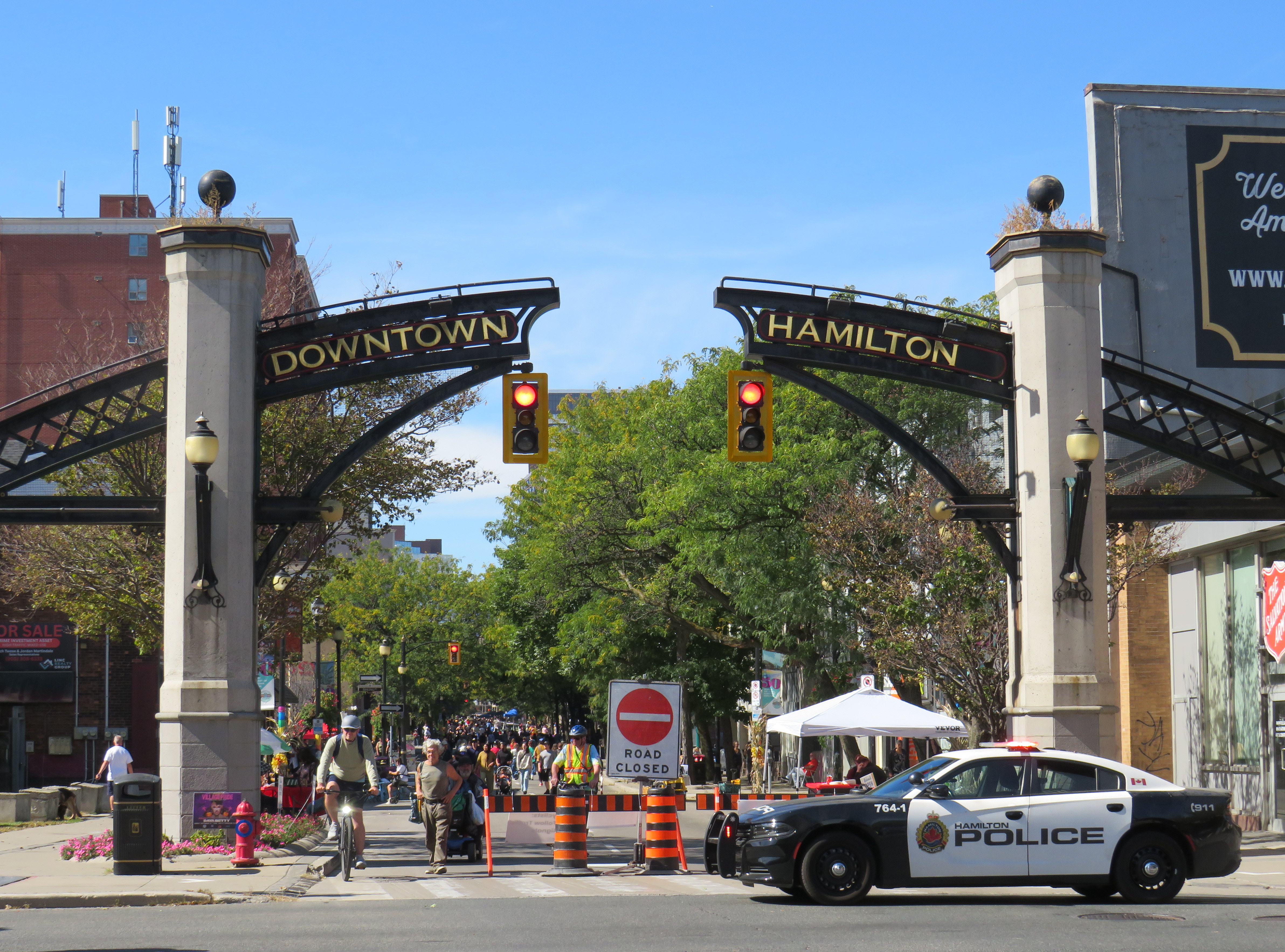
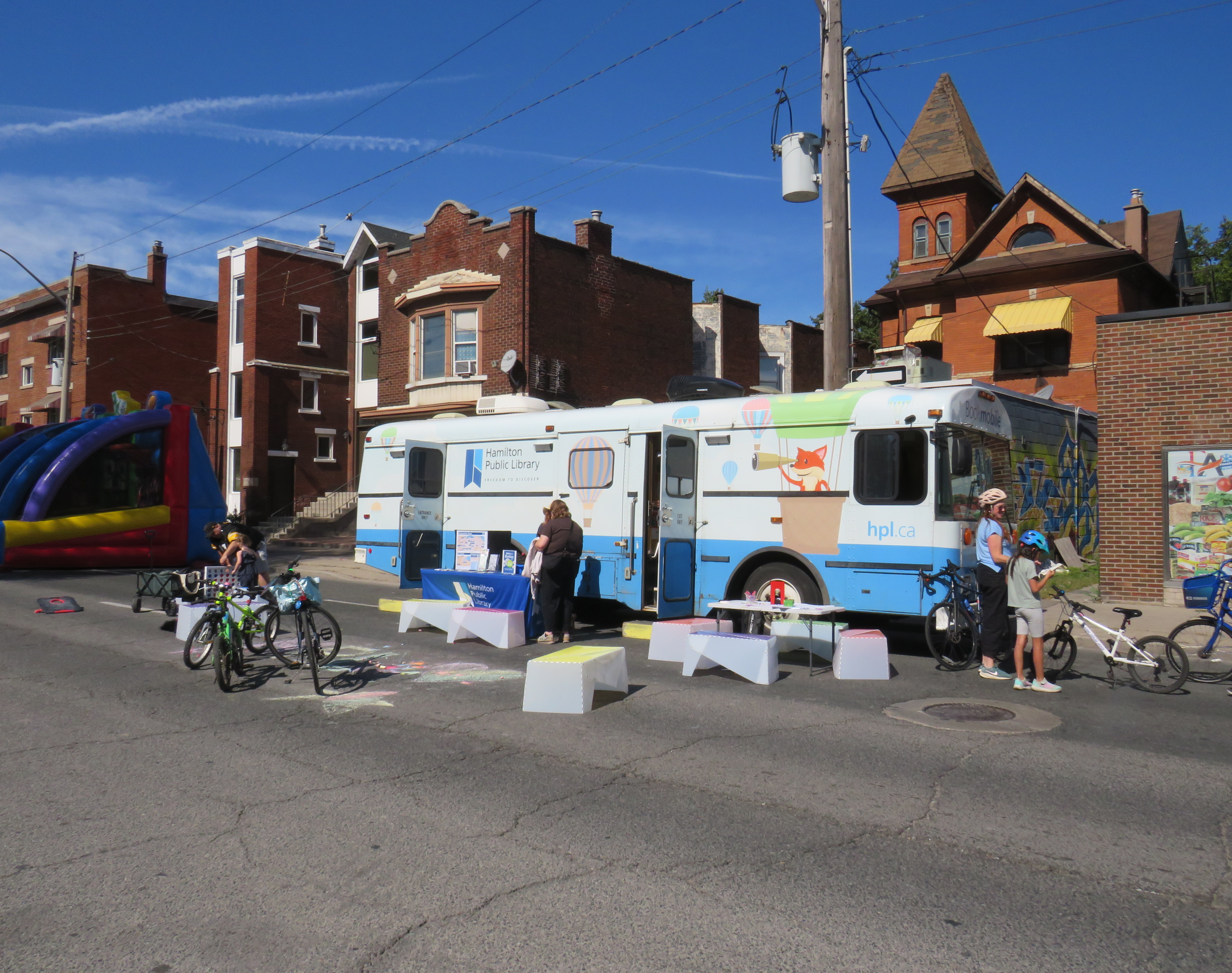
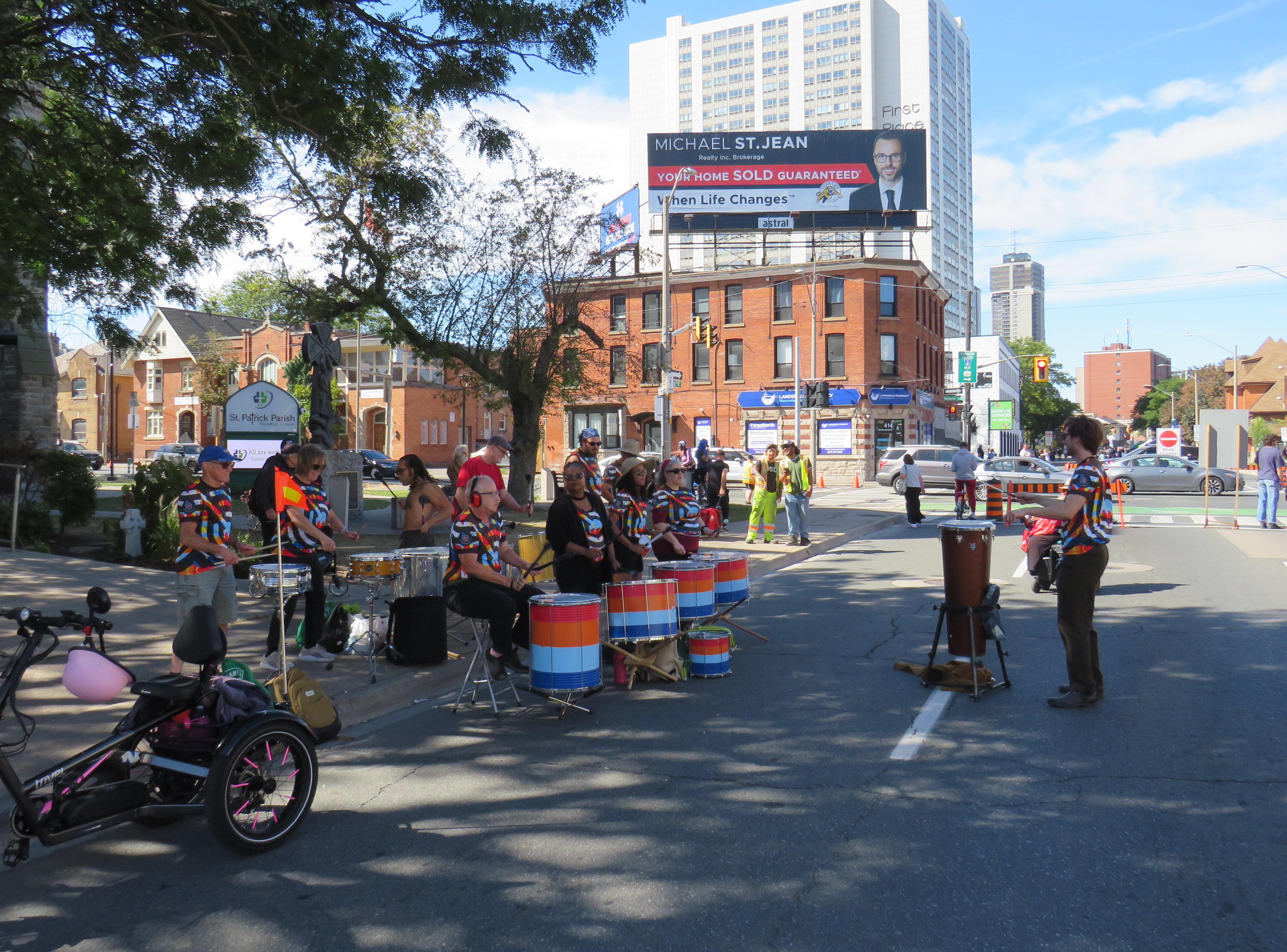
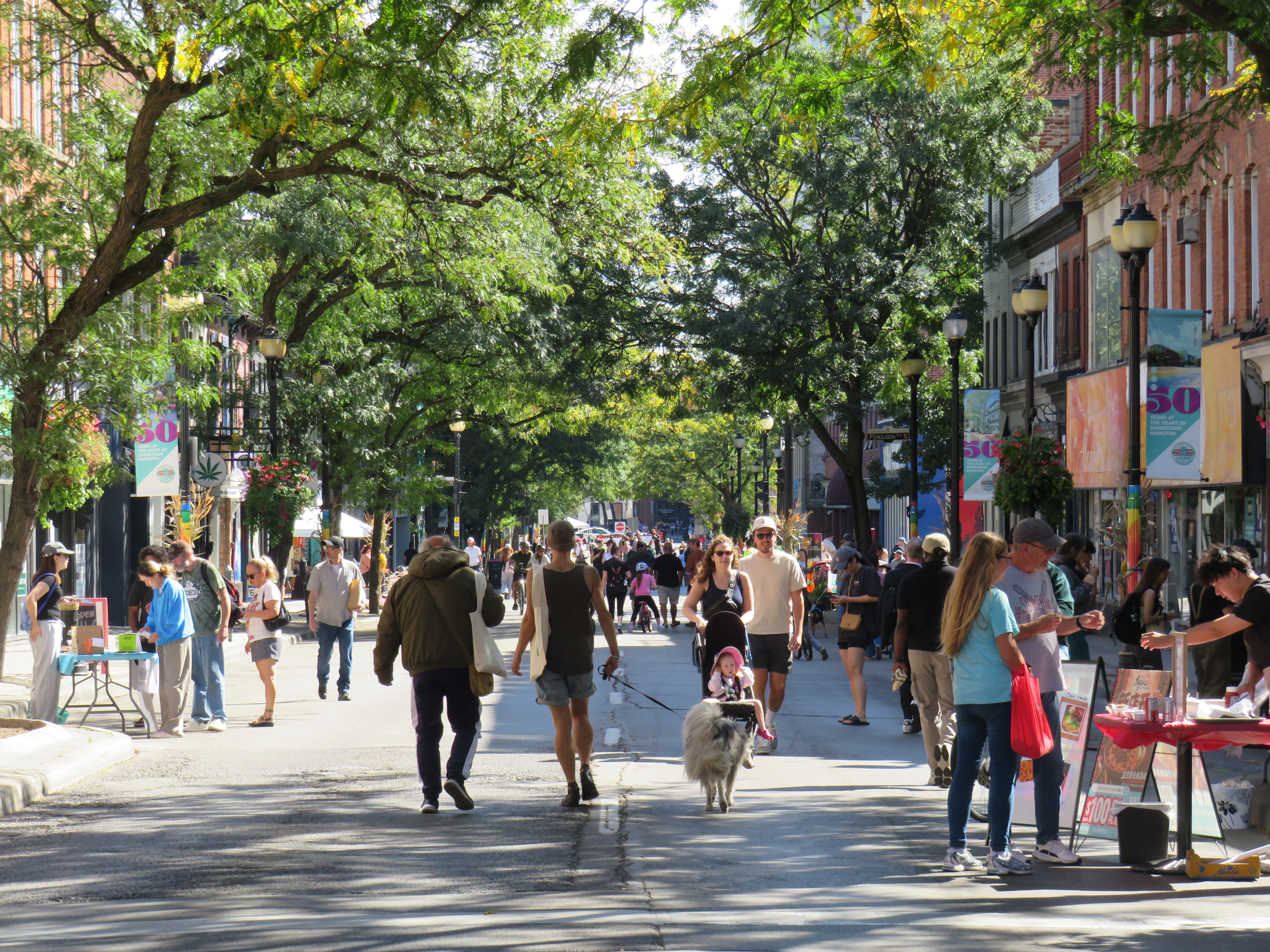
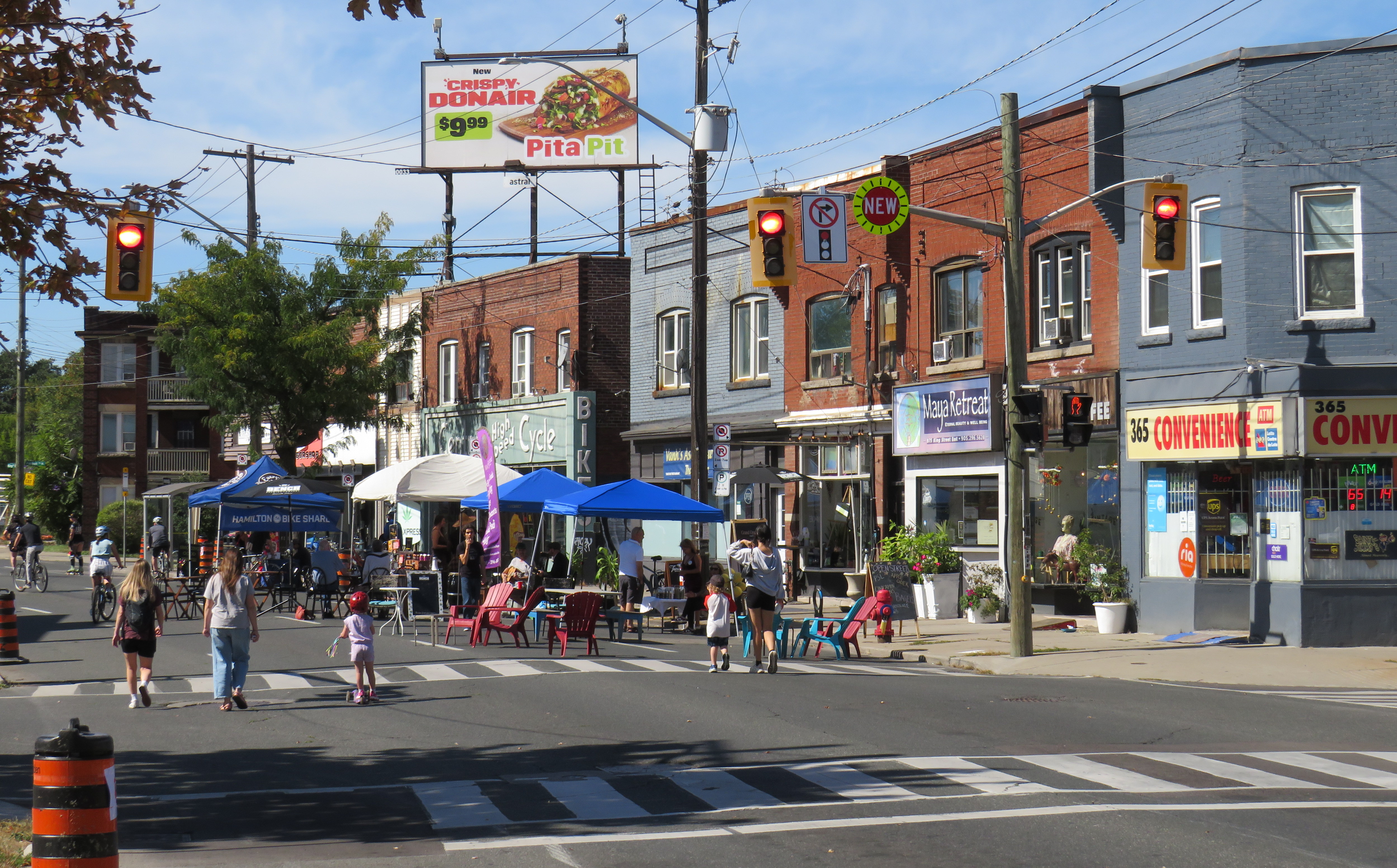
On Sunday, September 27, I took the GO train to Hamilton with my bike to experience Open Streets Hamilton, an annual event that shuts down just over three kilometres of King Street East between John Street and Gage Street from 10AM to 4PM. An official program of the City of Hamilton, pedestrians and cyclists get to enjoy a car-free experience, with five activation hubs, with live music, play spaces, and booths set up by city-affiliated agencies like the Hamilton Street Railway and Hamilton Public Library as well as local non-profit and activist organizations. Businesses along King Street were welcomed to take their business outside with displays and tables for passers-by to browse.
The Hamilton Public Library’s bookmobile near King and ShermanDrum band at King and Victoria
Hamilton’s Open Streets was a delight. A pleasant, sunny day certainly helped, but it was nice to see so many people sharing the space, all at a gentle pace. Cyclists taking advantage of the car-free King Street were respectful of pedestrians having the whole right-of-way and especially careful around the five hubs. Cyclists looking for a faster route could easily go just two blocks north to Cannon Street, which has a continuous two-way cycletrack as far east as Sherman Avenue.
King Street narrows between John and Wellington Streets through the tree-lined International Village BIA
By extending Open Streets into the later afternoon, Hamilton helped to encourage businesses to participate and to get a wide variety of participants through the day. Though Open Streets in Toronto was supported by the Downtown Yonge BIA, there was limited commercial activity along the routes, likely due to the short hours.
King at Barnesdale, towards the east end of the Open Streets. Note the café on the block put out seating and shade canopies.
In 2026, Toronto only had two blocks of temporary pedestrian activation — Church Street between Alexander and Wellesley Streets in the Village. Happily, that experiment ran for over six weeks, and restaurants and bars took advantage of the extra space. It worked well, despite nearby road construction and concerns about safety and traffic congestion. But it was just a taste of what Toronto can and should do.
Hamilton shows that open streets are popular and Toronto needs to bring them back. Hopefully the mayor and council elected later this month will have the courage and ambition to get Torontonians outside and on the streets.
Two and a half years ago, I took my first transit trip using an on-demand service, travelling between Port Perry and Cannington in rural Durham Region. It was part of a quest I undertook to visit every city and town hall in the Greater Toronto and Hamilton Area without a car. In March 2023, I found DRT’s booking service to be an exercise in frustration at first, though I eventually landed on a time that worked.
In September 2026, I wanted to travel to Paris, Ontario, a picturesque town of 15,000 people on the Grand River, and only a 15-minute drive from Brantford. In 2000, the Town of Paris was amalgamated with the rural county that surrounds the City of Brantford.
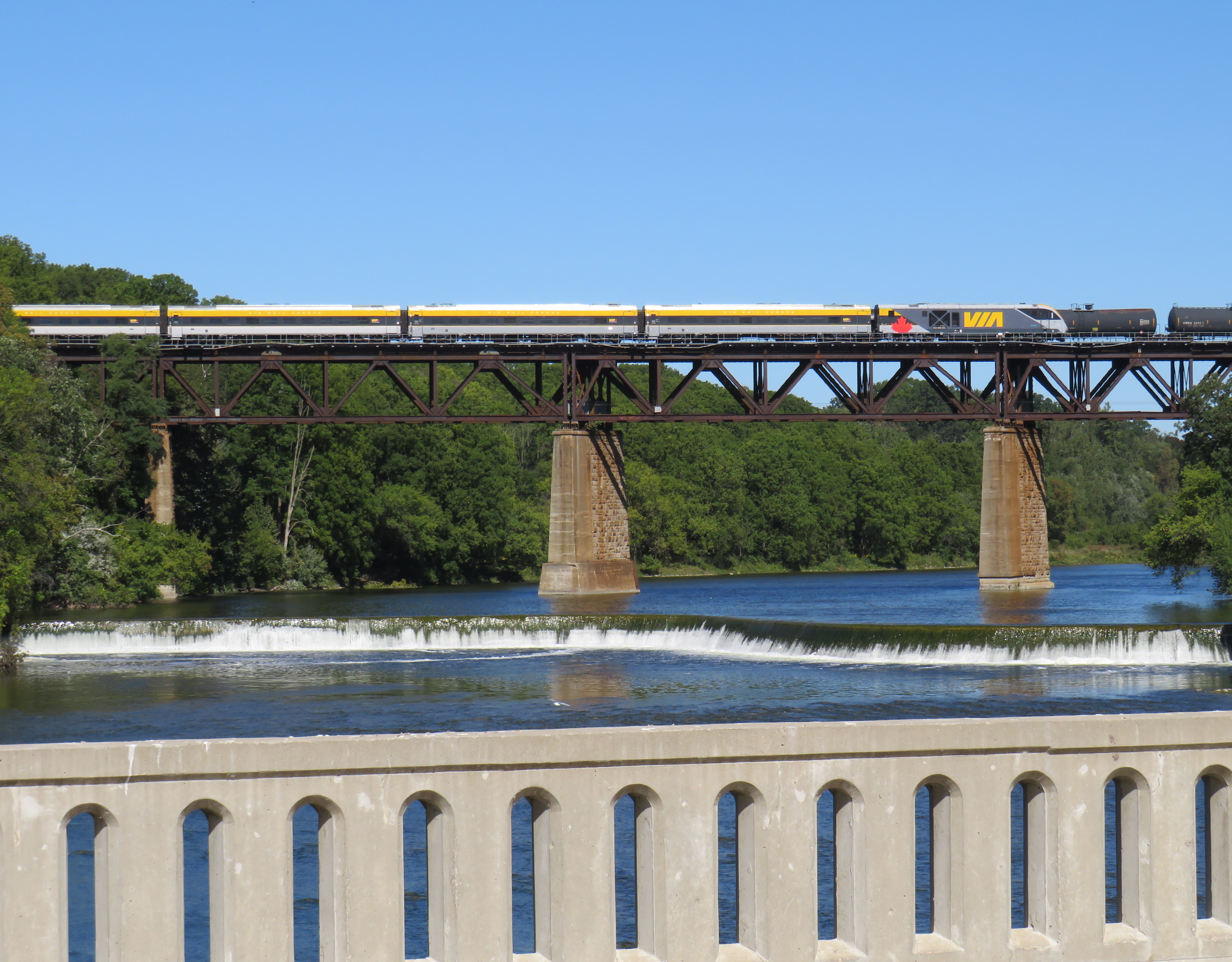
Though ten VIA trains a day pass through Paris, the closest stop is in Brantford
In the 1980s and early 1990s, Paris was served by a Brantford Transit bus route, which made sense given the short distance between the two communities. This service was discontinued in 1996 due to funding cutbacks to transit province-wide by the Mike Harris-led Progressive Conservatives. With the loss of Greyhound’s once-a-day local bus between London and Toronto in 2018, there was no way to get to Paris without a car or a taxi ride.
In 2019, the county launched Brant e-Ride, which was later branded as Brant Transit. An on-demand transit service, Brant Transit serves the entire municipality. It also allows pick-ups and drop-offs anywhere within Brantford, as long as either the origin or destination is within the county’s boundaries. Rides are $6 one-way, or $4 for adults over 55 and free for children 12 and under.
The ability to travel between Brantford and the surrounding county allows Brant County residents easy access to workplaces, schools, shopping, or medical services in Brantford, as well as connections to GO buses to McMaster University and Aldershot Station, VIA Rail trains, and the weekday Ride Norfolk service to Waterford and Simcoe. The service also allows Brantford residents to get to employment areas in Brant County, such as the Ford and Adidas warehouses by Highway 403 and Rest Acres Road (Highway 24 South).
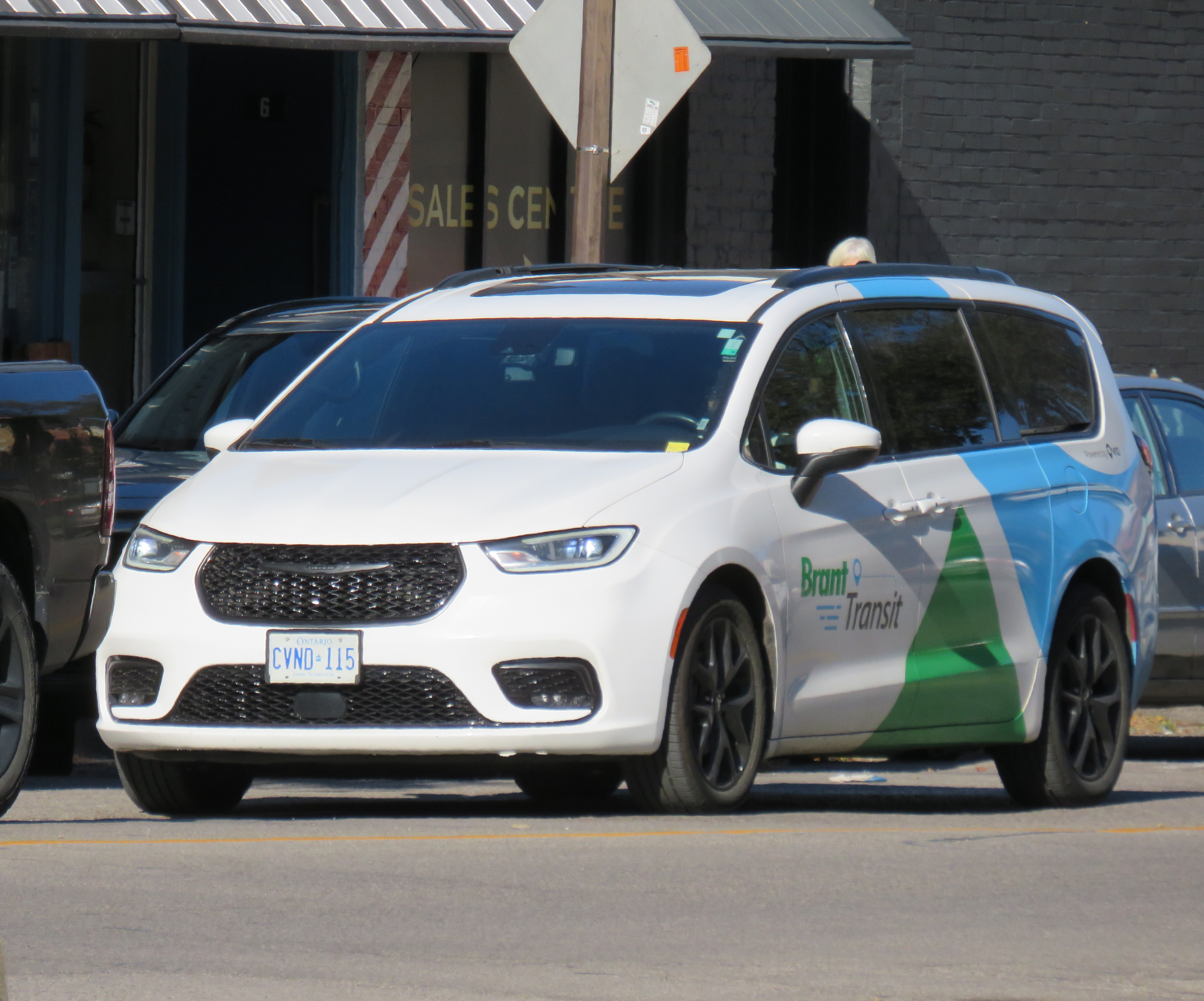
The current contractor to Brant Transit is Via Transportation, a New York-based mobility software company specializing in on-demand transit and shuttle service platforms. Drivers are hired locally and use Brant Transit-branded minivans and SUVs.
Brant Transit ridership is growing, with over 25,000 rides provided in 2024, up 11% from 2023. The overwhelming majority of rides taken are between Brantford and Brant County, rather than within the municipality, with 57% of passengers using the service to get to and from work and another 24% using it to access health services.
Unlike the 2024 DRT experience, I found the booking system easy to use and it accepted my trip requests within the times I was looking for: a pickup in Brantford around 10AM (plenty of time for me to get there from Toronto either by VIA train or GO train/bus) and a pickup in Paris around 4PM. That would give me plenty of time for a leisurely walk around Paris, enjoy a relaxed lunch, and browse the downtown.
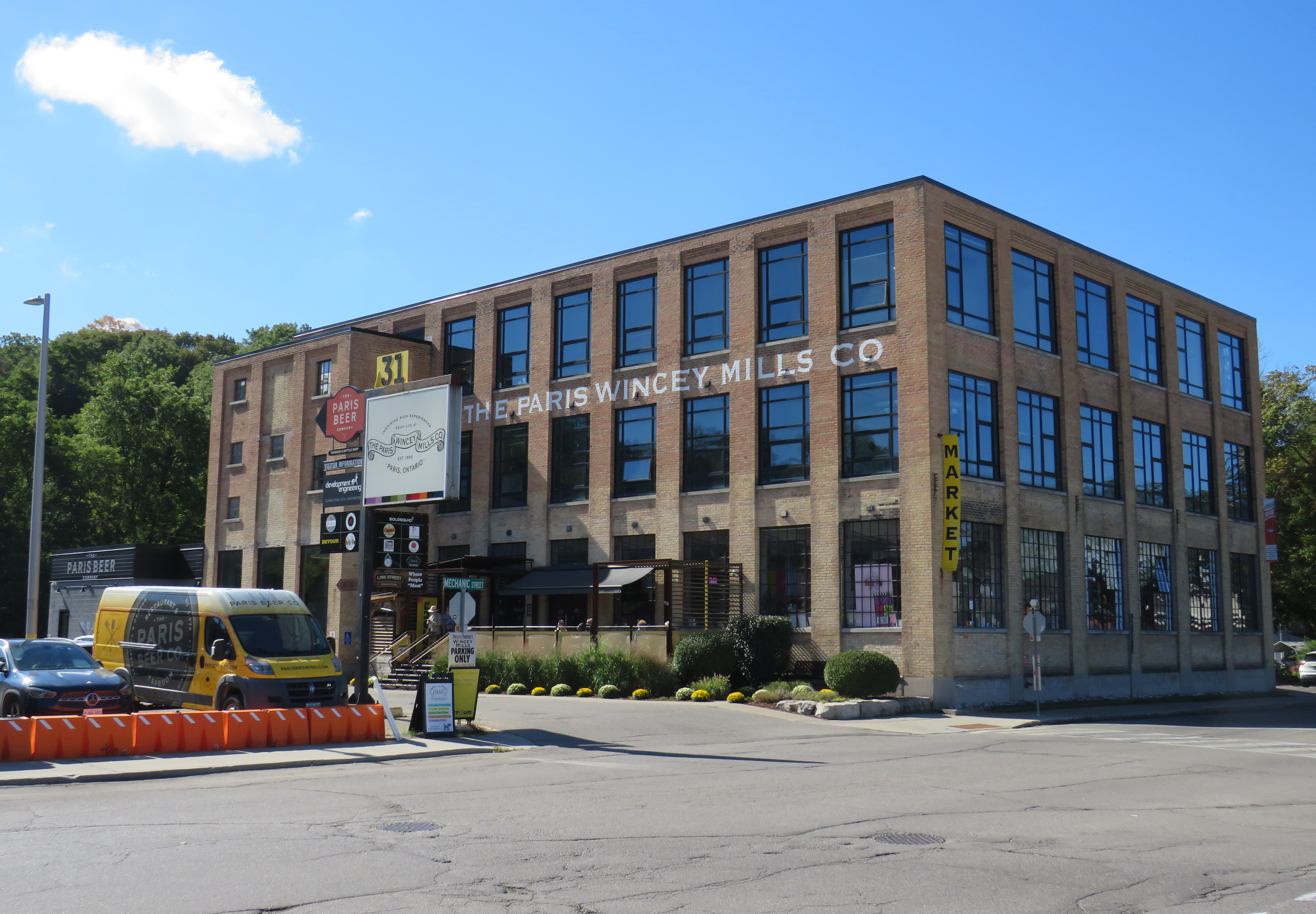
I travelled between the bus terminal in Downtown Brantford and the Paris Wincey Mills building, just off Paris’ main street. The old textile mill, once a Canadian Tire store, was beautifully restored, with a café, market, and brewery on the lower level, and offices on the upper two floors.
Paris Wincey Mills Co. building
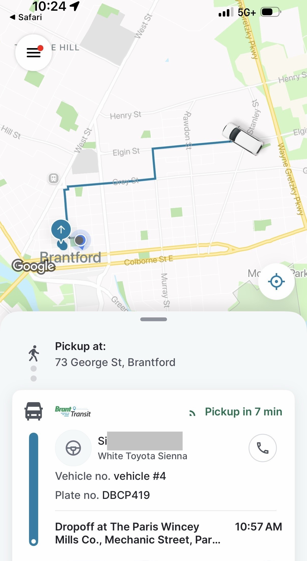
The only trouble was the initial pick-up. The app, as well as the text alerts, kept telling me to wait at 73 George Street, the location of the old Brantford Carnegie Library now occupied by Wilfrid Laurier University. However, the tracking app — which appears similar to the Uber or Lyft platforms — showed the that correct location was actually the bus terminal. Luckily, I made it in time to meet the driver.
Information provided to me in the Brant Transit App, with driver’s name (redacted), vehicle info (plate and make), pickup time and location and estimated drop off time
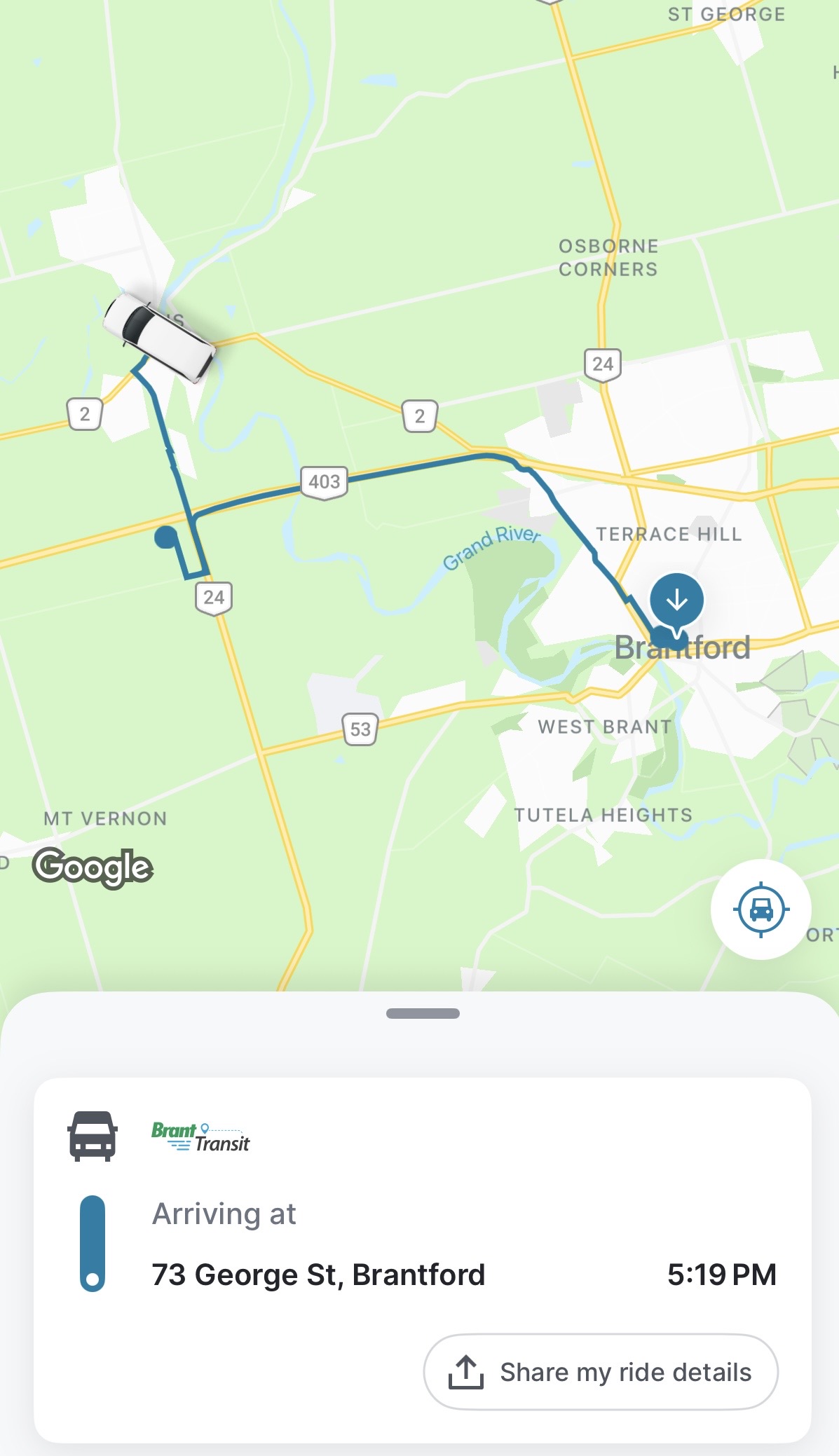
I shared the ride to Paris with one other passenger, who remained on board after I departed. On the return ride, I could see the driver made several stops before picking me up, with a stop en route at one of the warehouses near Highway 403, where two other passengers were waiting, all headed to Brantford.
Screenshot of Brant Transit App showing my route back to Brantford Bus Terminal from Paris with an intermediate stop at a warehouse near Highways 24 and 403
Overall, I was satisfied with my experience. The drivers were friendly, the ride comfortable, and the app easy to use. If Brant Transit on a September Thursday was reflective of on-demand transit in general, the concept would leave a very positive experience for users and municipalities alike.
Furthermore, Paris itself continues to grow, with new residential subdivisions on Rest Acres Road near Highway 403. In the future, Brant County should seriously consider fixed-route services to serve commercial and residential growth in and around Paris, either as part of Brant Transit, contracted to Brantford as before 1996, or both. In the meantime, the on-demand service can continue to provide mobility for the rest of the county, and even within Paris during off-peak times such as evenings and weekends.
I would have benefitted from a fixed-route service for a leisurely visit; once the transit times are booked, the passenger is tied to those times. After three hours in Paris, I had more than enough time to see everything I planned; had there been a bus at 3:30, I would have hopped on that instead of waiting for a 4:35 pickup. Though on-demand transit offers geographical flexibility in a sparsely populated or low demand area, fixed-route, scheduled services provide temporal flexibility that on-demand services can not match.
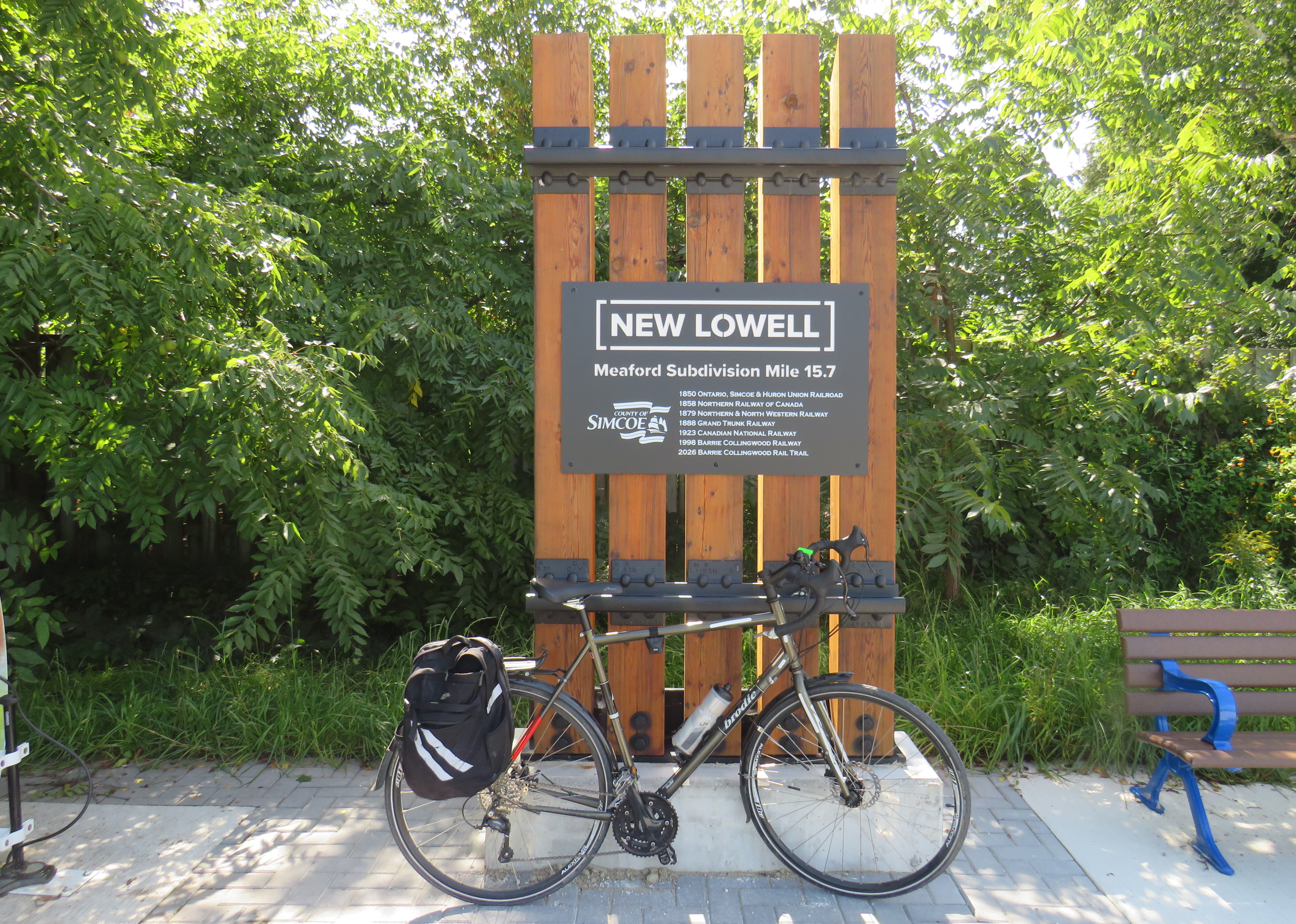
My bike at Mile 15.7 of the Meaford Subdivision, New Lowell
Just before the new Fall 2026 GO Transit schedules kicked in, I decided to take a ride between Barrie and Collingwood, travelling on Ontario’s newest section of rail trail, an extension of the Barrie-Collingwood trail between Stayner and Angus. My ride on September 3 was pleasant and mostly uneventful, taking my bike to the shores of Lake Huron for the first time. Despite a successful 55 kilometre one-way ride, getting a bus ride back to Barrie, both the trail and the transit connections could be significantly improved.
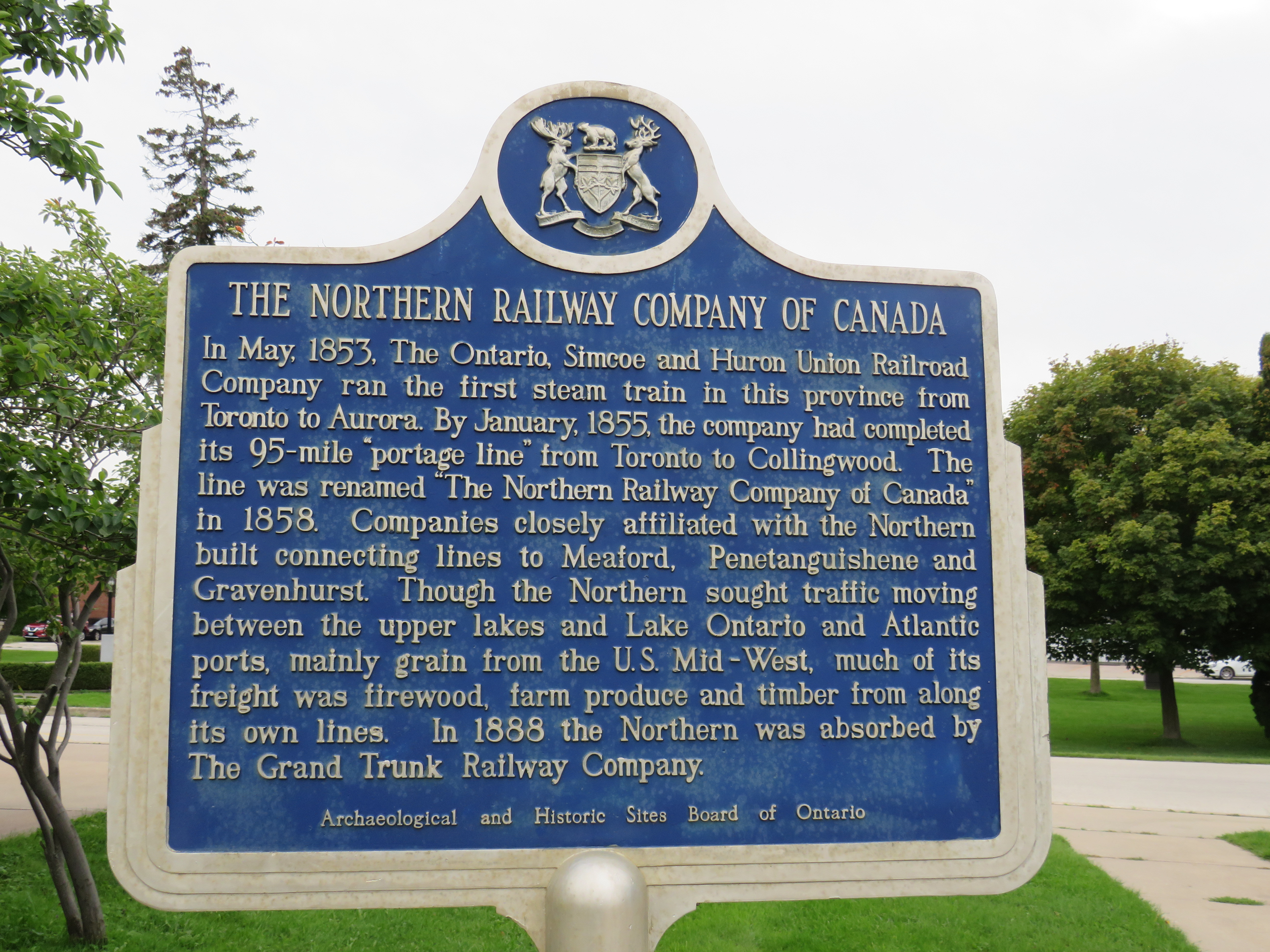
The Barrie-Collingwood Rail Trail is named for the Barrie-Collingwood Railway (BCRY), a short line freight operation that took over from CN in the 1990s. The route through Barrie and Collingwood was built by the Ontario, Simcoe, and Huron Railway between 1853 and 1855, the province’s first rail line. Soon renaming itself the Northern Railway of Canada, the company expanded to Meaford, Orillia, and Gravenhurst before becoming part of the Grand Trunk Railway network. CN, which took over the Grand Trunk in 1923, ended passenger service to Collingwood in 1960.
After CN threatened abandonment of the railway, the town of Collingwood and the City of Barrie established the Barrie-Collingwood Railway (BCRY) in 1998. BCRY ensured continued rail service to several industries in the area. Though BCRY remains active in the Barrie area, including a spur into Innisfil (a remnant of the CN Beeton Sub), service into Collingwood was discontinued in 2011. The active track now ends at Utopia, east of Angus, where BCRY interchanges with the CPKC mainline. The discontinuance of railway service in western Simcoe County allowed for a rail trail to be developed along the line.
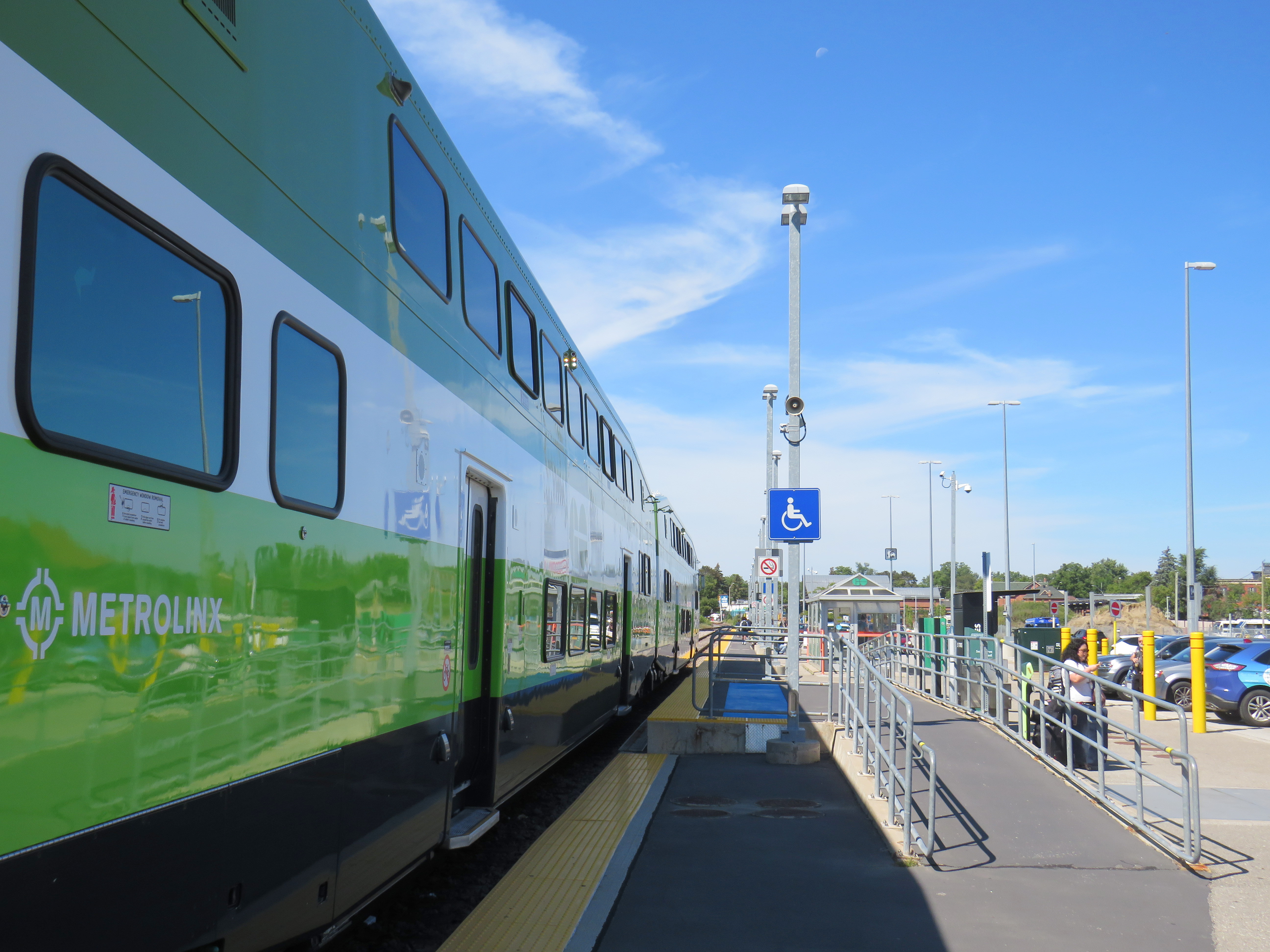
Off the GO train at Allandale Waterfront Station
I started my ride on a Thursday morning, taking the 9:54 Barrie Line train from Union all the way to the end at Allandale Waterfront Station, arriving at 11:37. Unfortunately, the hourly Simcoe County Linx bus to Wasaga Beach — Route 2 — leaves the adjacent Allandale Bus Terminal thirty minutes past the hour, forcing a 50 minute wait to if I wanted to continue by transit. I elected to begin my bike ride here instead.
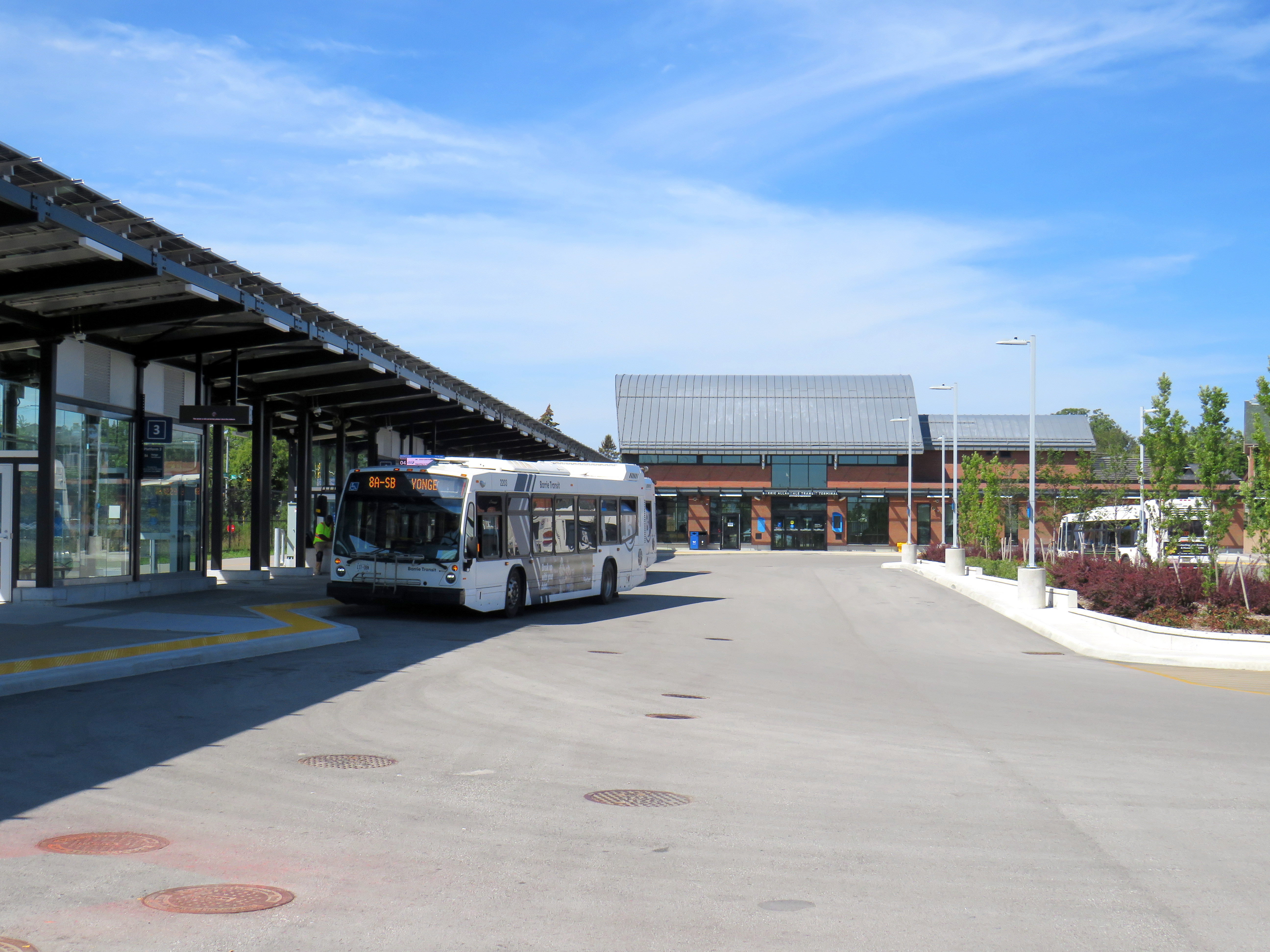
The new Allandale bus terminal, serving Barrie Transit and Simcoe County Linx
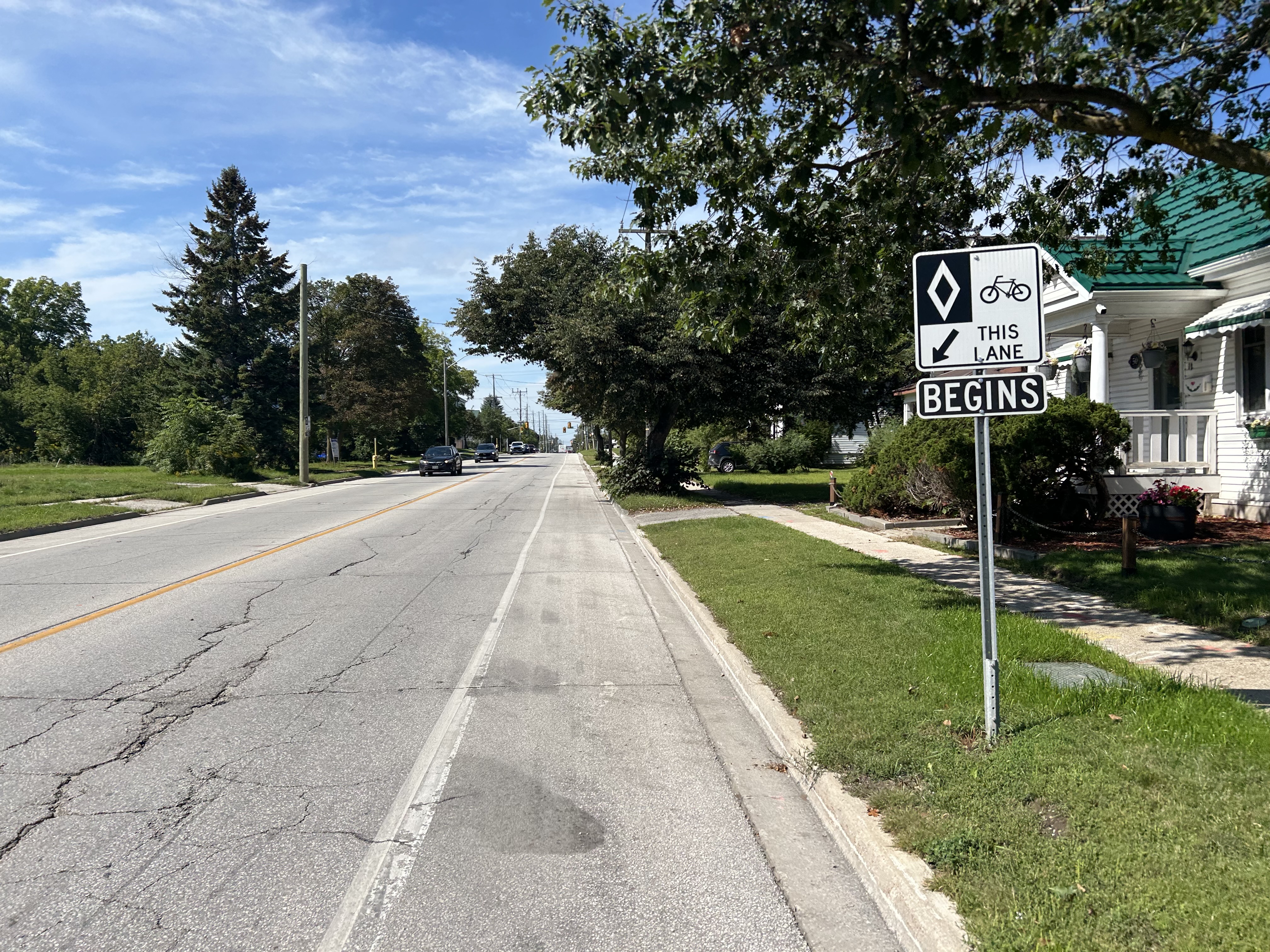
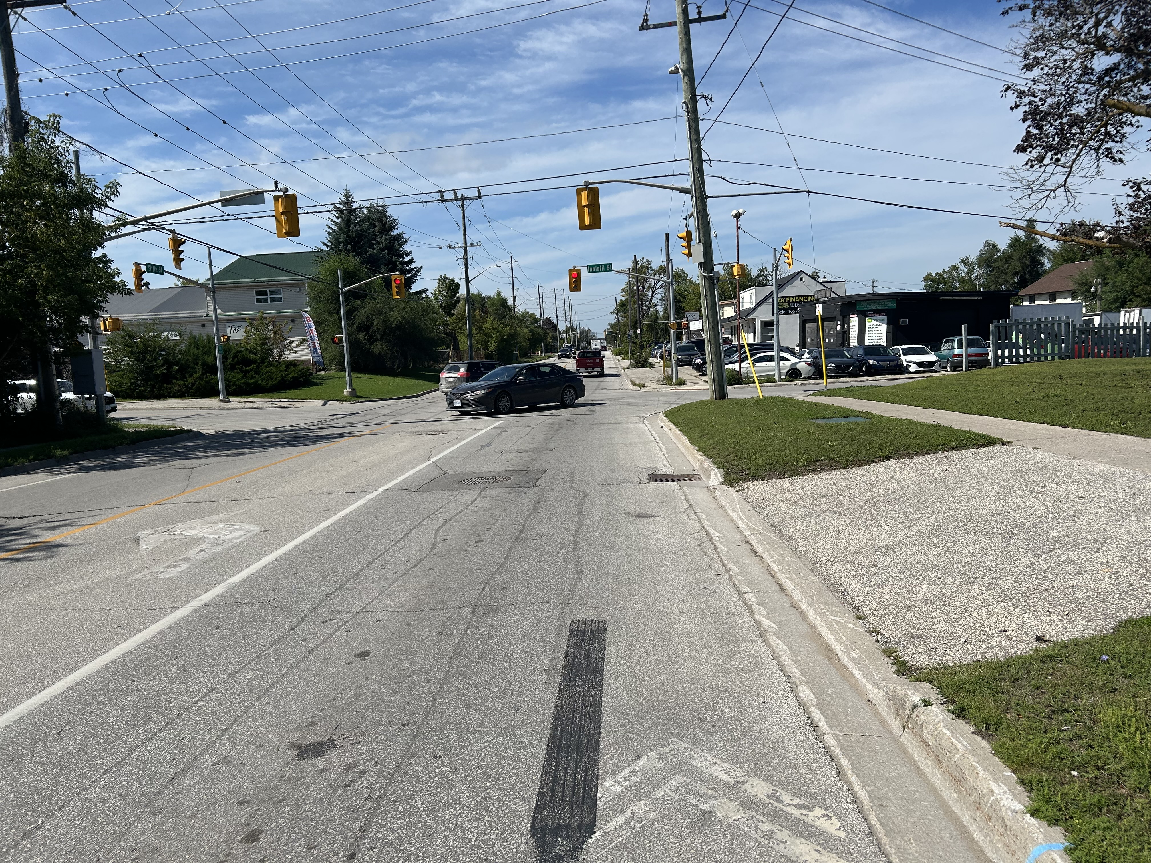
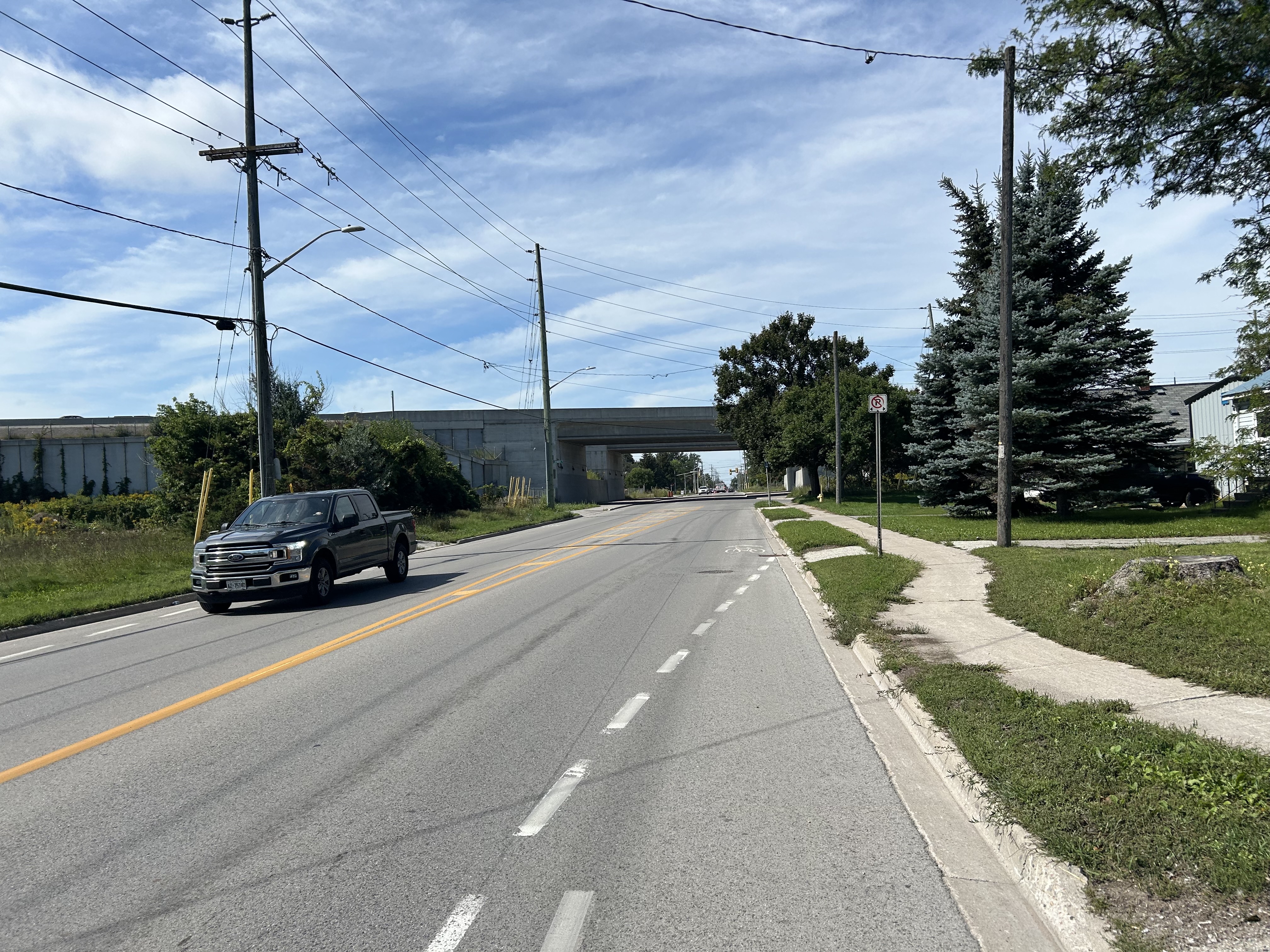
The ride between Allandale and the beginning of the rail trail in Angus is very direct, following Tiffin Street in Barrie to County Road 90. Tiffin Street is mostly a two lane collector road with intermittent painted bike lanes that disappeared approaching signalized intersections to make room for left turn lanes. The bike lane also disappeared before crossing under Highway 400. But since it’s a straight, flat road with a moderate amount of traffic, it was certainly a better experience than my last ride through Barrie earlier this summer.
Bike lane on Tiffin Street…… That ends before every signalized intersection…… and under Highway 400
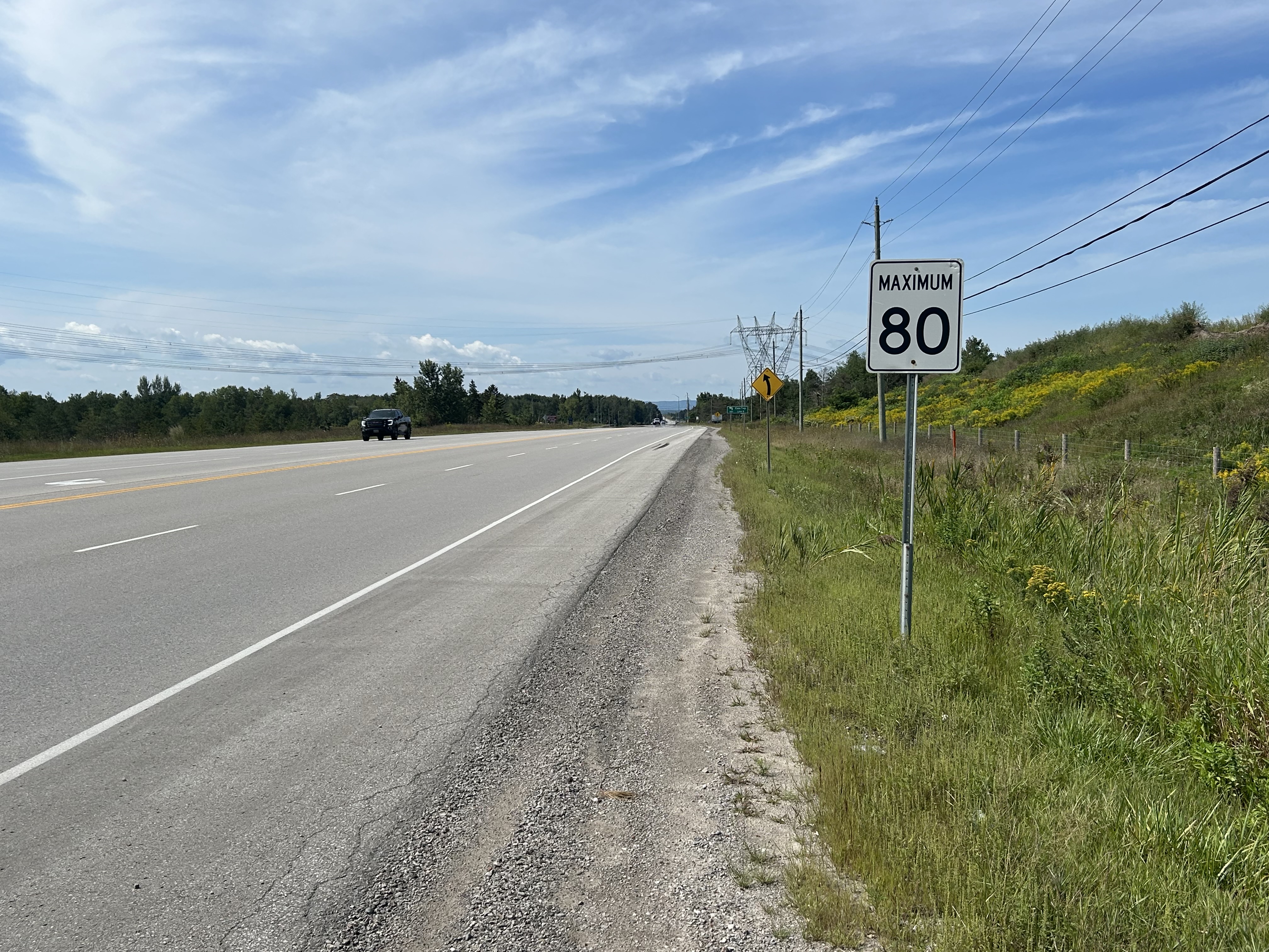
Simcoe County 90, a former provincial highway connecting Barrie, Angus, and CFB Borden, was widened from a two-lane road to a five-lane highway, including a centre turn lane. The posted speed limit is 80 km/h. However, there are decent paved shoulders along the entire stretch between the end of Tiffin Street and just before entering Angus. While County Road 90 was not the most pleasant riding experience because of traffic noise, it felt safe enough for a casual, yet confident, cyclist such as myself, and should be the minimum expectation in Ontario for rural cycling routes. But it would not be the place for a family ride.
Paved shoulder on Highway 90 towards Angus
Though I ended up following County Road 90 all the way into Angus, one may choose to turn south onto Essa 5th Line and connect to the beginning of the rail trail there.
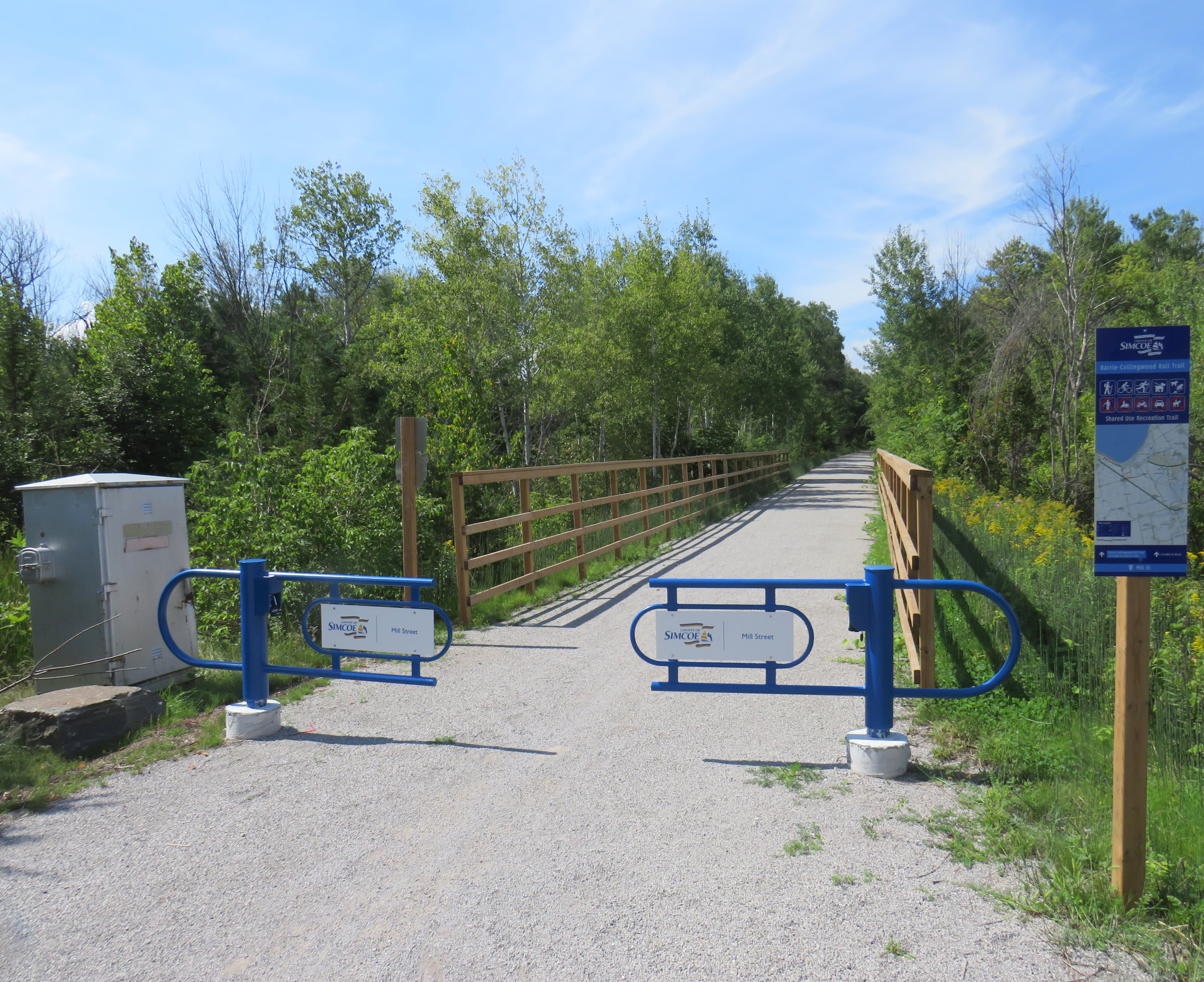
Entering the Barrie-Collingwood Rail Trail at Angus. Note the old railway crossing signal box at left.
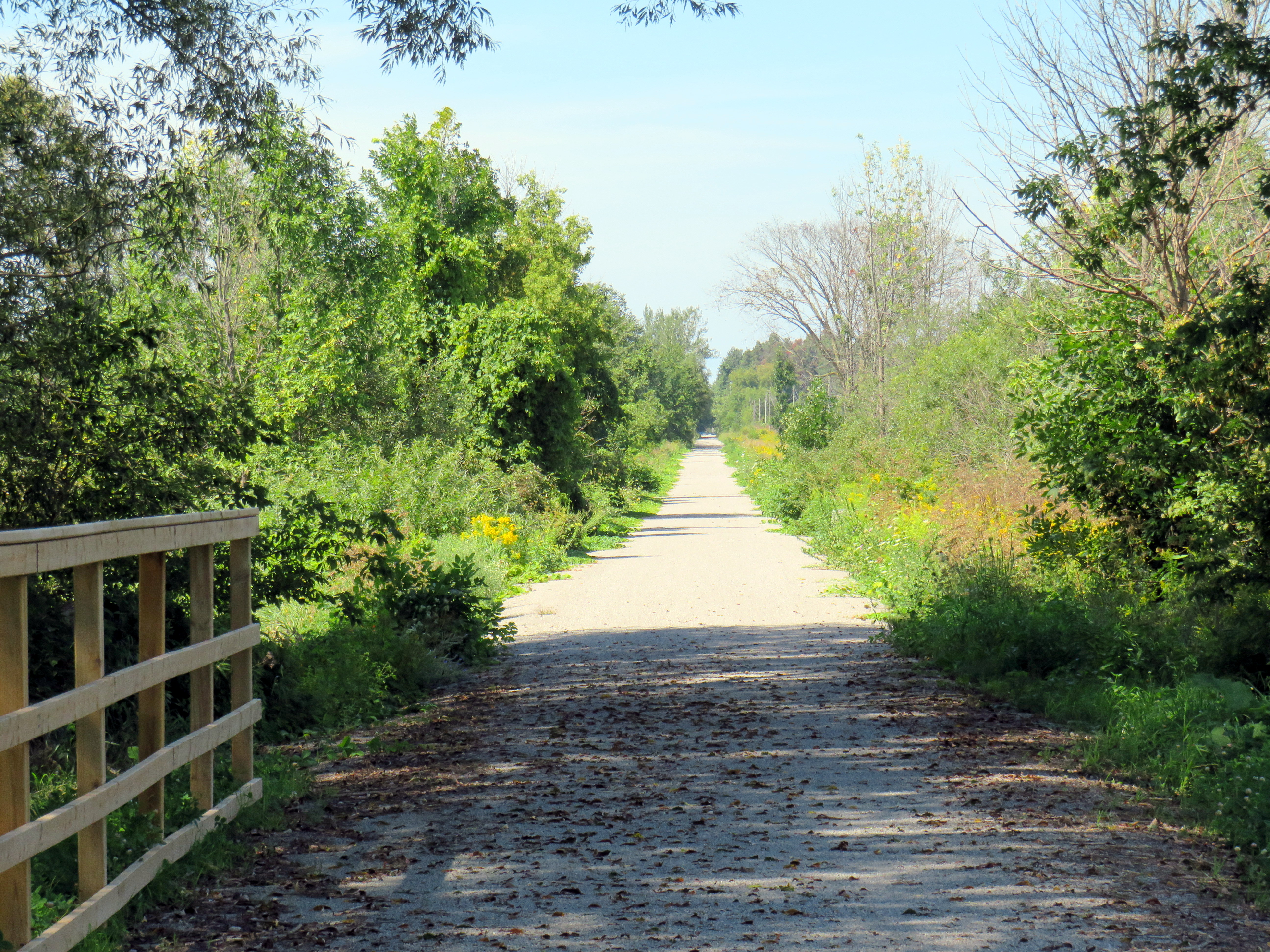
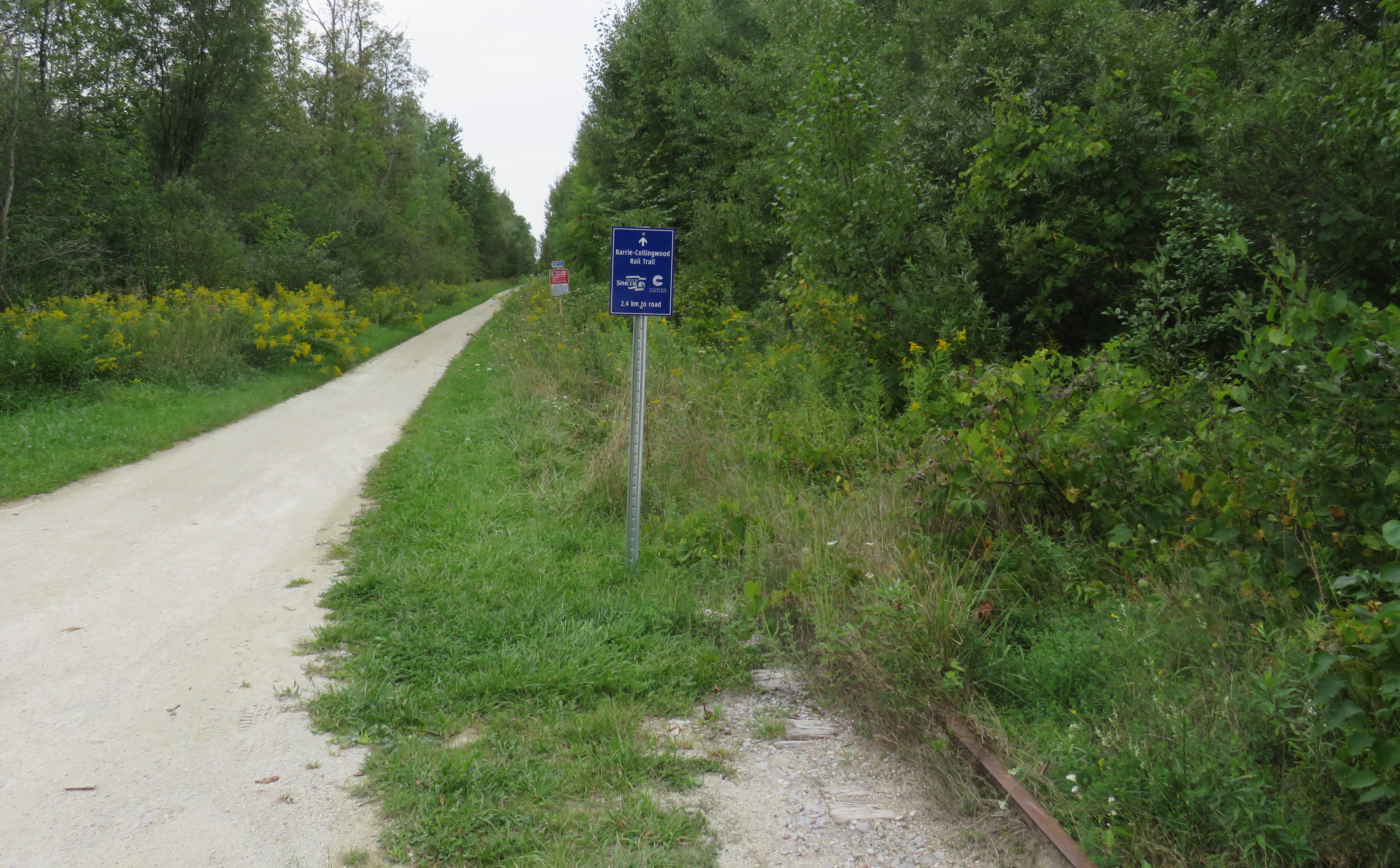
Once reaching the Barrie-Collingwood Rail Trail, the cyclist is treated to a pristine, shaded corridor all the way to New Lowell. On this section, the crushed gravel surface is well groomed and there are benches at regular intervals. The p-gates at each intersection are just far enough apart to be easily passable at a slow speed, and wayfinding is excellent.
Between Angus and New Lowell, the trail is smooth, straight, and shady
Unfortunately, between New Lowell and Stayner, the trail could use some grooming, with looser gravel that made for a slower and slipperier ride (I am not the first cyclist to complain about this). This was also a much less shaded section of trail, and I felt myself slowly losing energy before a change to stop in town for a break and to refresh my water bottle.
Main Street, StaynerCrossing of Main Street (Highway 26) at Stayner
At Stayner, the trail crosses busy Highway 26 twice: the first time at Main Street, adjacent to the town centre, and again at Airport Road. Both have signalized pedestrian crossings where railway signals once stood. Stayner is also where the trail shifts to being on the old railway right-of-way to being immediately beside it.
West of Stayner, where an older section of rail trail follows the derelict rails towards Collingwood
The older section of trail between Stayner and Collingwood was constructed as part of a watermain project connecting Clearview Township (which includes Stayner) with Georgian Bay at Collingwood in the mid 2010s, not long after the last train left Collingwood. It appears that, at the time, there was thought to retaining the railway should it ever be required again; notably old rail bridges at Stayner and Batteaux have not been converted for trail use. However, the intact rails have been completely overgrown with vegetation and most crossings have been removed or paved over. With the track completely gone between Angus and Stayner, there’s almost no chance rail service of any kind will ever return to the 170-year-old corridor.
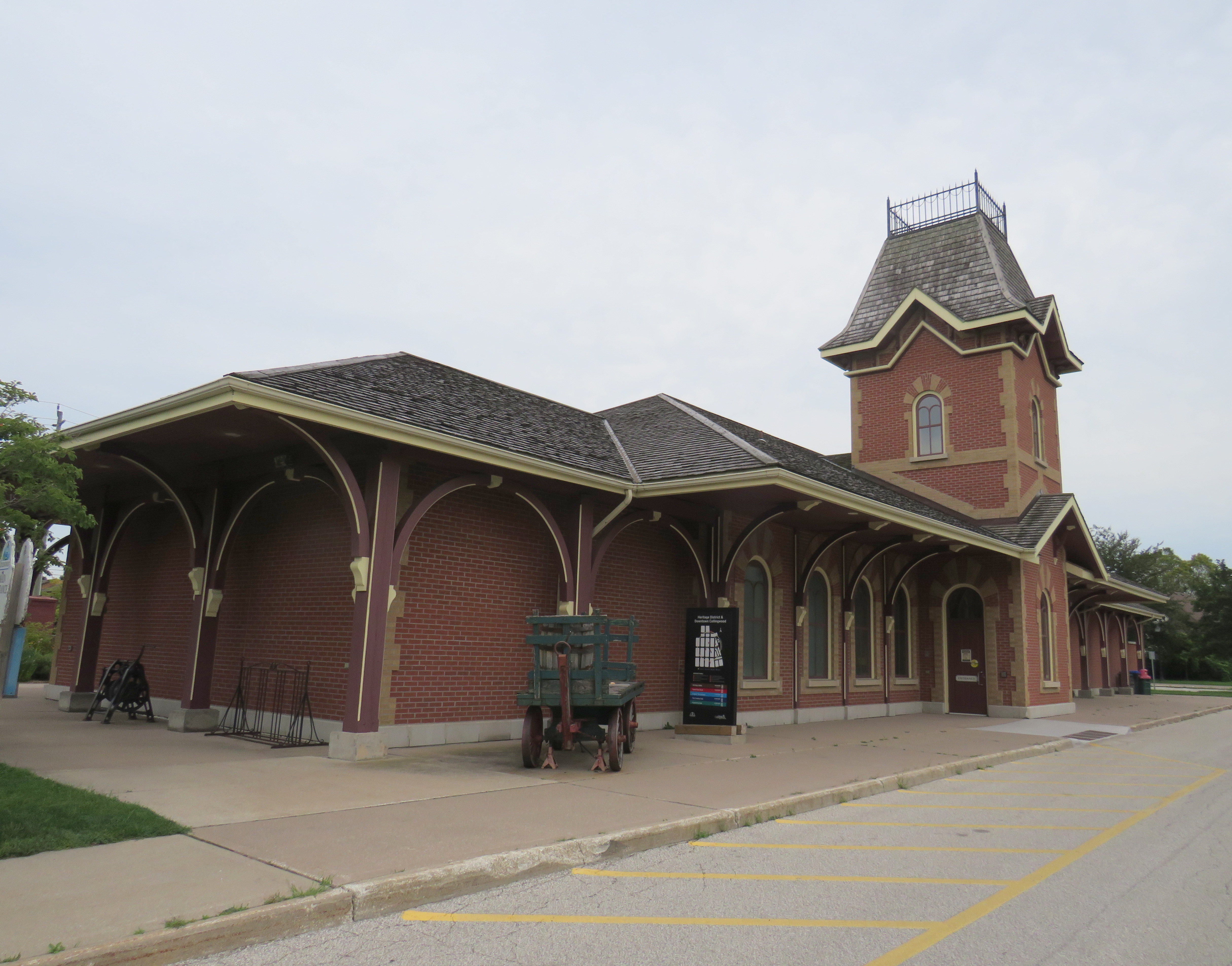
The section of trail between Stayner and Poplar Sideroad — Collingwood’s town limit) is smooth and straight except for a short detour on country road at Batteaux. However, there are no benches or rest areas along this 10 kilometre stretch. But once within Collingwood, the trail becomes part of the town’s recreational network, which connects the entire community. At the very end is the reconstructed Collingwood Station, which replaced an older building erected by the Northern Railway of Canada (the successor to the pioneering Ontario, Simcoe and Huron) and is home to a local museum.
Replica Northern Railway station, CollingwoodPlaque commemorating the history of the Ontario, Simcoe, and Huron / Northern Railway Co. in Collingwood
I had just enough time to get a snack and beverage before getting the 6:00 PM Simcoe County Linx bus to Wasaga Beach and then to the 6:30 PM bus back to Barrie, the last trip of the day.
Simcoe County Linx bus (Aug. 2021 photo). All Simcoe County buses are equipped with bike racks.
Needed improvements
This ride from Barrie to Collingwood, through mostly pleasant, highlights the need for improvements to both transit and trail access in Simcoe County, though many of these suggestions should not be particularly challenging to implement.
The first issue is Simcoe County Linx’s schedules, which are not timed to meet arriving GO trains at Allandale, nor do they facilitate weekend excursions. Though there is a Flixbus route between Toronto, Barrie, Collingwood, and Owen Sound, it only operates five days a week outside of the busy summer period, where it ran twice daily in 2026.
Simcoe County is to be commended for expanding hourly public transit throughout the county (with two more routes planned). But except for the short Route 4 between Collingwood and Wasaga Beach, there is no evening, weekend, or holiday service. The 6:30 PM departure of Route 2 from Allandale Waterfront is too early for most rush hour trains to arrive; the last possible connection is a tight 4 minutes between the arrival of the 4:38 PM train departure from Union Station which is scheduled to get into Allandale at 6:26. A recommended 7:30 PM departure, would give enough time for two additional evening trains to arrive.
Furthermore, there are no connections from Allandale Station north on Routes 1 and 3, which serve Midland and Orillia; they depart from Georgian College/Royal Victoria Hospital on the north end of Barrie and require paying an additional Barrie Transit fare. Allandale Waterfront could function as a hub serving all of Simcoe County and points beyond (including Muskoka and Grey County) but there are missing links and a need for schedule and fare integration between GO, Simcoe County, and Barrie Transit.
Though there is the occasional call for restoring passenger rail to Collingwood to serve the area’s resorts and the year-round population, the rail corridor is pretty much lost. Buses, connecting with GO trains from Toronto, can certainly fill the need of serving visitors to Wasaga Beach, Collingwood, and cottage country, as long as the connections are easy and the buses take passengers where they want to go. This requires GO, Simcoe County, the local municipalities and the resort operators to work together.
As for the trail, there are a few things Simcoe County and the City of Barrie can do to improve cycling in the region. Though wayfinding along the trails themselves is very good, there’s nothing to guide cyclists between them. Cycling routes can be better posted, with wide paved shoulders prioritized on roads like Veteran’s Drive/5th Sideroad, between Tottenham and Beeton, and to the south end of the North Simcoe trail towards Penetanguishene.
Long term, a better off-road cycling facility could connect Angus and Barrie (and the North Simcoe Rail Trail) without having to use a busy highway, paralleling the still-active BCRY corridor.
Finally, the condition of the county’s rail trails should be monitored and maintained for safe and comfortable cycling conditions, with attention paid to the trail surface and providing ample rest areas.
With some key transit and road improvements, Simcoe County has the potential for being Ontario’s rail trail capital, providing a safe, sustainable, and active tourism option that will benefit locals and visitors alike.
Quinte Transit bus stopped at the Belleville Bus Terminal, August 2026
Last month, I visited two beautiful towns in Eastern Ontario: Picton, in Prince Edward County, and Almonte, in Lanark County. Both communities have populations of just over 5,000 (though Almonte, within Ottawa’s commutershed, is growing), and both have wonderful downtowns full of independent stores, restaurants, and great public spaces. But you can only get to one of them without a car.
It was pretty easy to get to Picton from Downtown Toronto on a Thursday morning. Flixbus offers a direct seasonal service from Pearson Airport and Union Station Bus Terminal, stopping at Scarborough Town Centre, Whitby, and Trenton, and in Wellington, Bloomfield, and Picton in Prince Edward County. The County (which is actually a single-tier municipality) has become a popular tourism area, with visitors attracted by local wineries, art galleries, resorts, and the famous Sandbanks Provincial Park on Lake Ontario, so having alternative modes of transport to get to and around the area is welcome.
Unbranded Flixbus unloading in disused parking lot near Downtown Picton
As Flixbus does not operate its own buses — it partners with local coach operators — the buses do not have a consistent look. The bus on my August 20 trip, operated by Eastern Charter Inc., was a plain grey coach bus, but it was a comfortable ride. The last stop, in an unused parking lot off Picton Main Street, is across the street from a McDonald’s but is also a short walk to the downtown area. The parking lot, once used by a now-demolished church, is large enough to turn the bus around for the return trip.
Picton Main Street
Downtown Picton itself is very walkable, with regular pedestrian crossings and beautifully maintained sidewalks and street furniture. Even though there are larger retailers just outside the town centre, most storefronts are occupied by clothing stores, antique dealers, financial services, and craft shops, there is also a large independent bookseller, complete with attached cafe. Though many businesses are geared towards tourists and more affluent residents, it is not exclusively the case. The public library, a renovated and expanded Carnegie building, serves the entire community well. Discount chain Giant Tiger also thrives in the downtown area. The Regent Theatre, one of Ontario’s oldest continuously-operating theatres, has been hosting concerts, shows, and first-run movies since 1931.
Regent Theatre, which also contains a tourism information desk, is open between showsThe Carnegie Library on Picton’s Main Street, with a small playground out frontThe sidewalks full of life and room for street trees, benches, and outdoor store displays.
Prince Edward County also offers on-demand transit service within the municipality and a weekday fixed-route service between Picton, Bloomfield, and Belleville operated by Trenton-based Quinte Transit. During the summer and early fall, additional fixed-route services operate between Belleville, Wellington, and Picton, sponsored by local wineries and tourist attractions. Bus stops are well marked, with current schedules posted at each point.
County Transit bus stop at the Fairgrounds (Crystal Palace)
At Downtown Belleville, there are connections to Belleville Transit, which serves the VIA Rail Station and the Megabus/Flixbus stops near Highway 401 and to Quinte Transit’s Trenton service at Loyalist College. There also used to be a connection at the downtown terminal for Deseronto and Napanee, but sadly it disappeared last year.
Prince Edward County does a fine job running and marketing a transit service geared to both its residents and to visitors. It should be a model for other communities in Southern Ontario and elsewhere.
Almonte: Nowhere to go
Dr. James Nasmith Square, Almonte. The old post office on the right is home to a great Italian restaurant, fittingly named Il Postino.
Almonte, less than an hour’s drive from Downtown Ottawa, is another charming and busy town, full of independent shops and restaurants in heritage buildings. On a busy summer weekend, parking can be hard to find. The town, part of the municipality of Mississippi Mills, is also growing, with new residential development to the east of the historic downtown. It has just about everything that Picton has, except for a transit link.
Prior to the COVID-19 pandemic of 2020, there was a weekday commuter bus that would shuttle workers from Almonte and Carleton Place to Ottawa and back, making several stops along the OC Transpo bus network. Though Flixbus has restored the lost Greyhound route along Highway 7 between Toronto, Peterborough, and Ottawa with stops in Carleton Place and Perth (and with a schedule that accommodates commuters), these coach buses stop at gas stations along Highway 7 and don’t serve the communities very well, unlike the commuter-centric buses operated by smaller companies like 417 Coach and Thom Transport.
As the federal government is mandating full in-office shifts again, and as towns like Almonte and Perth become popular day trip destinations, it’s time for places like Lanark County to follow Prince Edward’s lead.
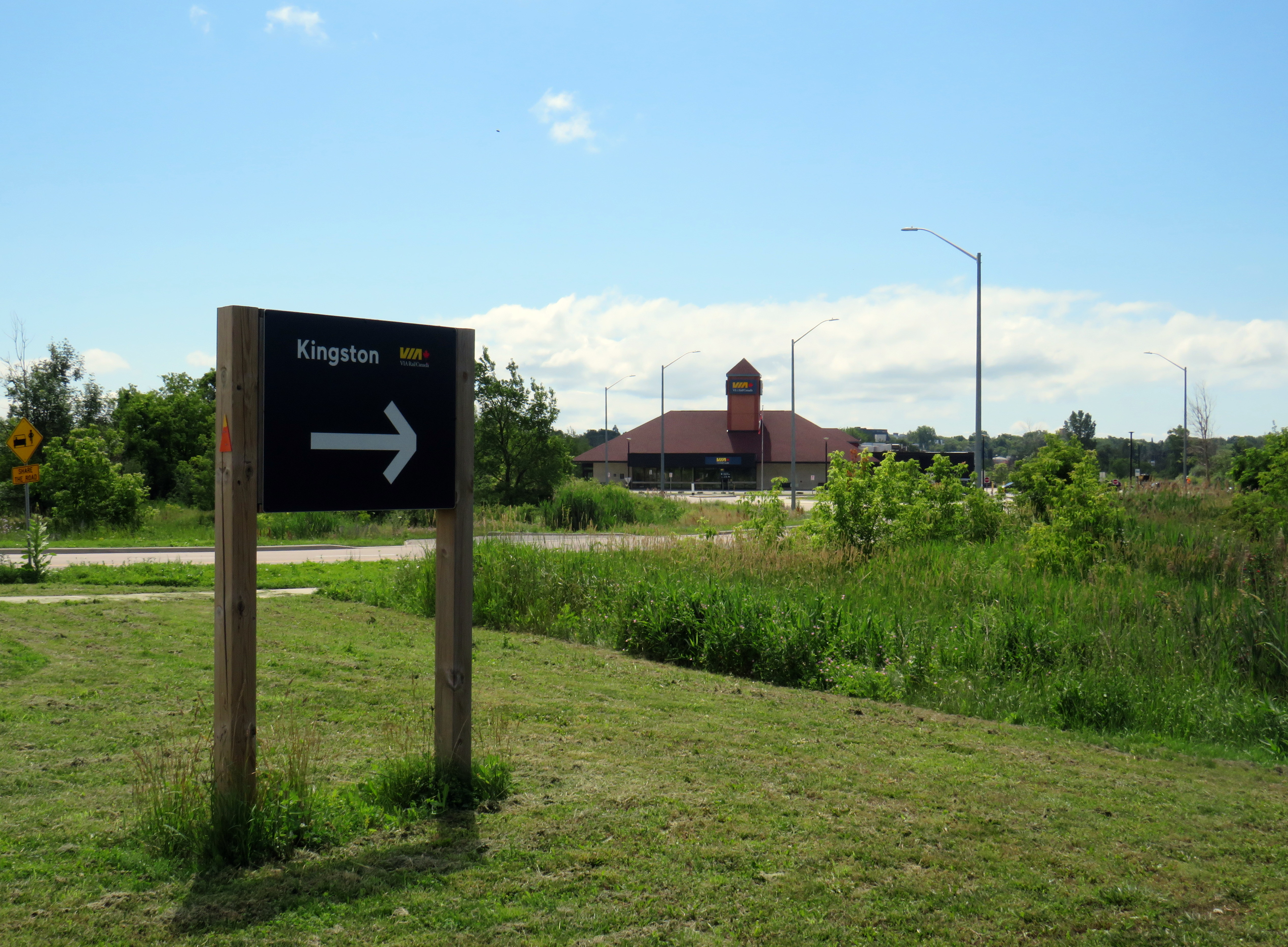
Located in a marshy area, Kingston Station is unnecessarily isolated from the rest of the city
Kingston, Ontario, is the largest city between the Greater Toronto Area, Ottawa, and Montreal. With Queen’s University, Royal Military College, and St. Lawrence College, Kingston is a major trip generator for VIA Rail, and has one of the busiest stations on the Quebec-Windsor corridor. It is also one of the most isolated intercity rail stations in Southern Ontario. Kingston’s geography and earlier decisions made by CN are largely to blame, but the future of VIA’s existing rail services is largely dependant on the fate of Kingston Station.
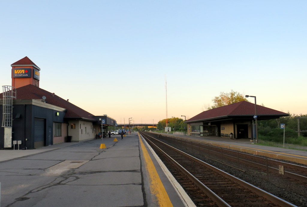
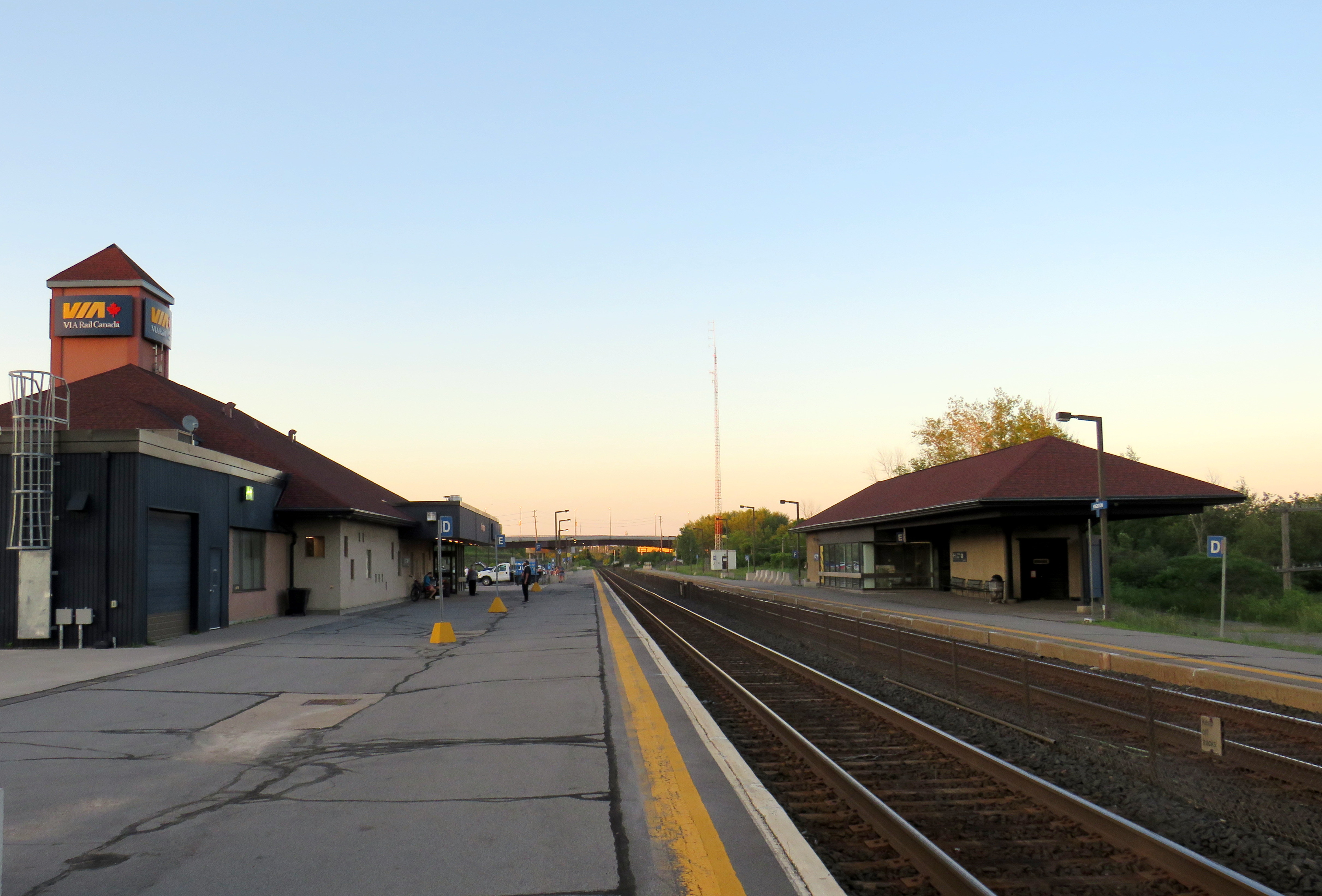
The VIA Rail station, off John Counter Boulevard, was constructed by CN in 1974 to replace a 1850s-era railway station on Montreal Street. The station has a ticket counter, washrooms, a ticket counter, and a small business class lounge, and two platforms. The south platform is connected to the station by way of a tunnel, with elevators, stairs and escalators providing access. Renovations in the early 2000s added a peaked roof and a tower displaying the VIA Rail logo to the minimalist CN station.
But the station is in an isolated location, located in a marshy area; the nearest businesses are a furniture store, a funeral home and a used car dealership. Despite this, Kingston Transit does a satisfactory job connecting the station to the downtown and post-secondary institutions, but the bus stop is unsheltered and a short walk away from the station building.
The two-track arrangement at Kingston Station does not suit CN or VIA particularly well. Both tracks are on the mainline, meaning that they are shared by VIA and freight. Delays to either CN or VIA causes congestion, one of several causes of train delays, contributing to VIA’s poor on-time performance. It also limits VIA’s flexibility in offering early morning or late evening trains that originate or terminate at Kingston or local all-stop service in conjunction with through express services. Newer VIA stations in Belleville and Cobourg have three platforms; the Belleville station tracks allow VIA trains to bypass the CN yard to the north.
The two-platform Kingston Station
The reasons for the Kingston station’s relative isolation compared to other mid-sized centres like London or Brantford, partly goes back to the 1850s, when the Grand Trunk Railway, which built the Toronto-Montreal mainline, routed its tracks away from Kingston’s urban centre. As the historic downtown sits at the mouth of the wide Cataraqui River, the Grand Trunk sought a narrower crossing further inland. To compensate, it built a spur into Downtown Kingston to serve local passengers and freight service; eventually a streetcar line ran to the main Montreal Street station and the city grew north to meet the railway.
In the 1970s, Canadian National, the successor to the Grand Trunk, was in the midst of modernizing its core infrastructure to focus on long-distance freight and container shipping. It rerouted its mainline north of Kingston on a shallower curve while eliminating several at-grade crossings. As CN continued to operate passenger rail on the corridor, it had to build a new station to replace the old Montreal Street location. The new Kingston Station had plenty of parking along with a passenger pick-up/drop-off loop, easily accessible to Princess Street and the new subdivisions in Kingston Township.
CN had the same principles in mind when it built new stations after the Second World War in Oshawa, Saskatoon, and Ste-Foy, outside of Québec City. Ease of rail operation and access to parking were bigger considerations than having a downtown station accessible by foot or public transit.
Trees grow around the stone ruins of the 1850s Kingston GTR StationA similar view eight years earlier, in 2018
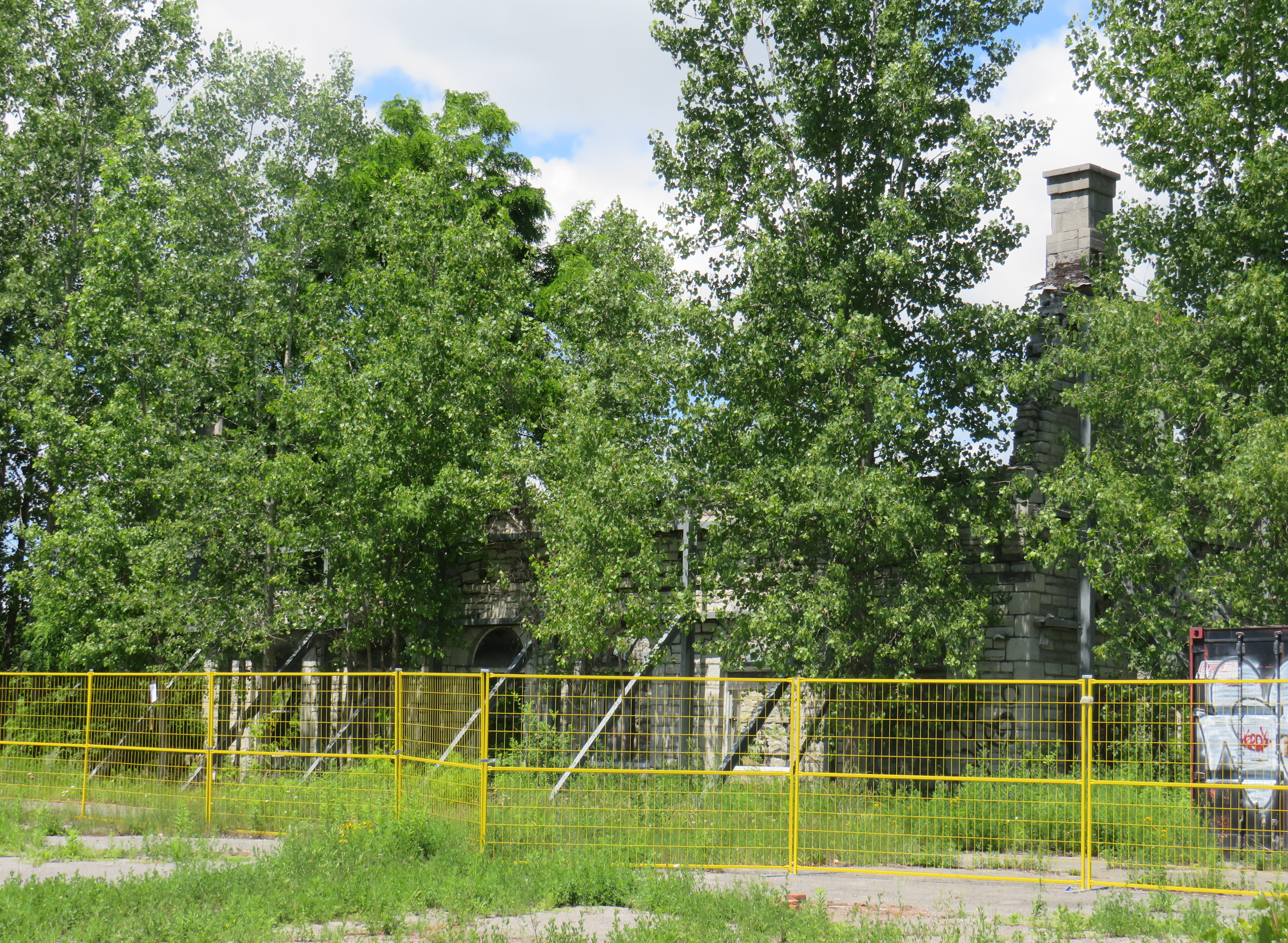
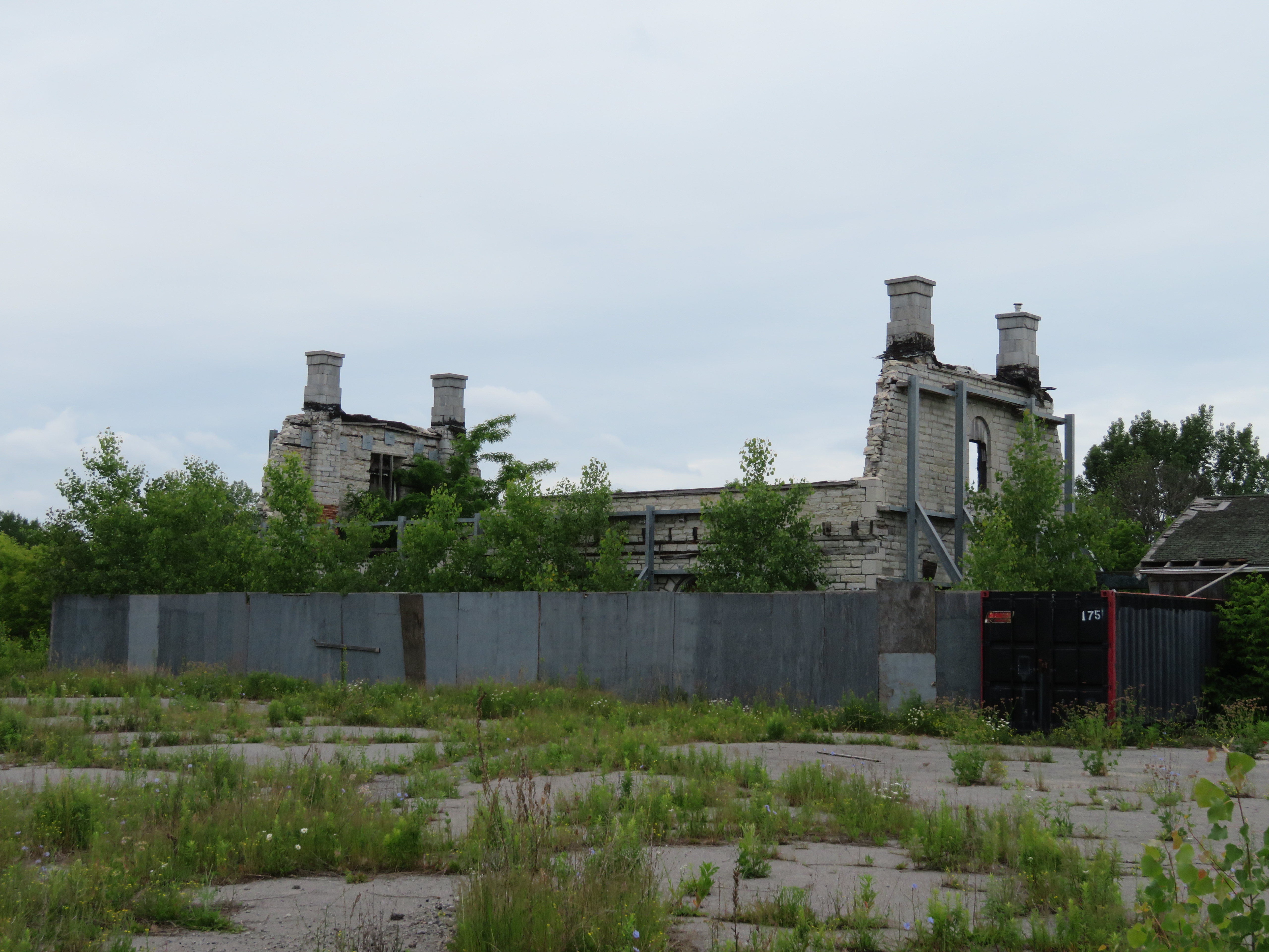
Today, the original GTR station lies in ruins, fenced off, and partially hidden by trees that have grown around it. The roof is long-gone, as are the additional station buildings such as the express freight and restaurant structures. With the vacant railway lands sitting abandoned for decades, this part of Montreal Street looks rough.
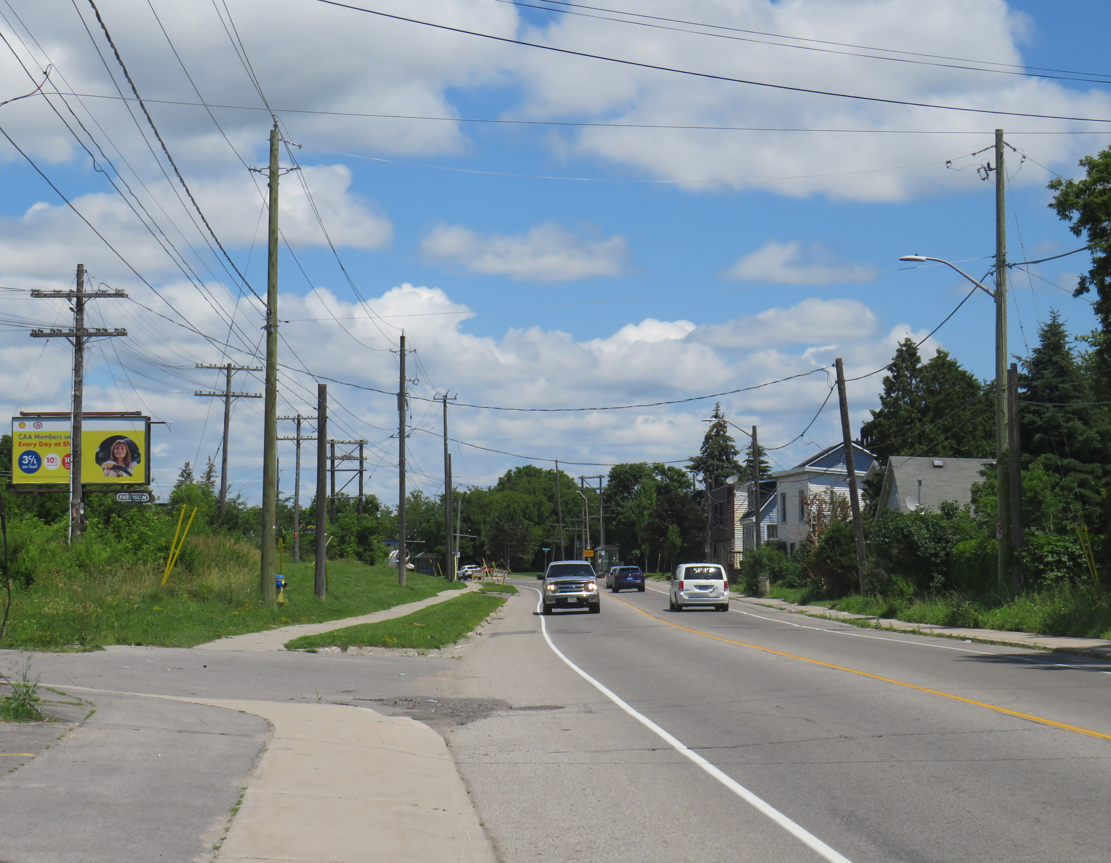
Montreal Street near the old station. The old railway telegraph lines at left betray the old railway route
An opportunity for a new station
Happily, there’s an ideal place for a larger Kingston Station between the old Montreal Street and the newer John Counter Road site that could serve as a proper multimodal hub while being somewhat more convenient to Downtown Kingston and Queen’s University: Division Street. I alluded to this in an earlier post, but after a recent visit, it appears that this is an excellent opportunity.
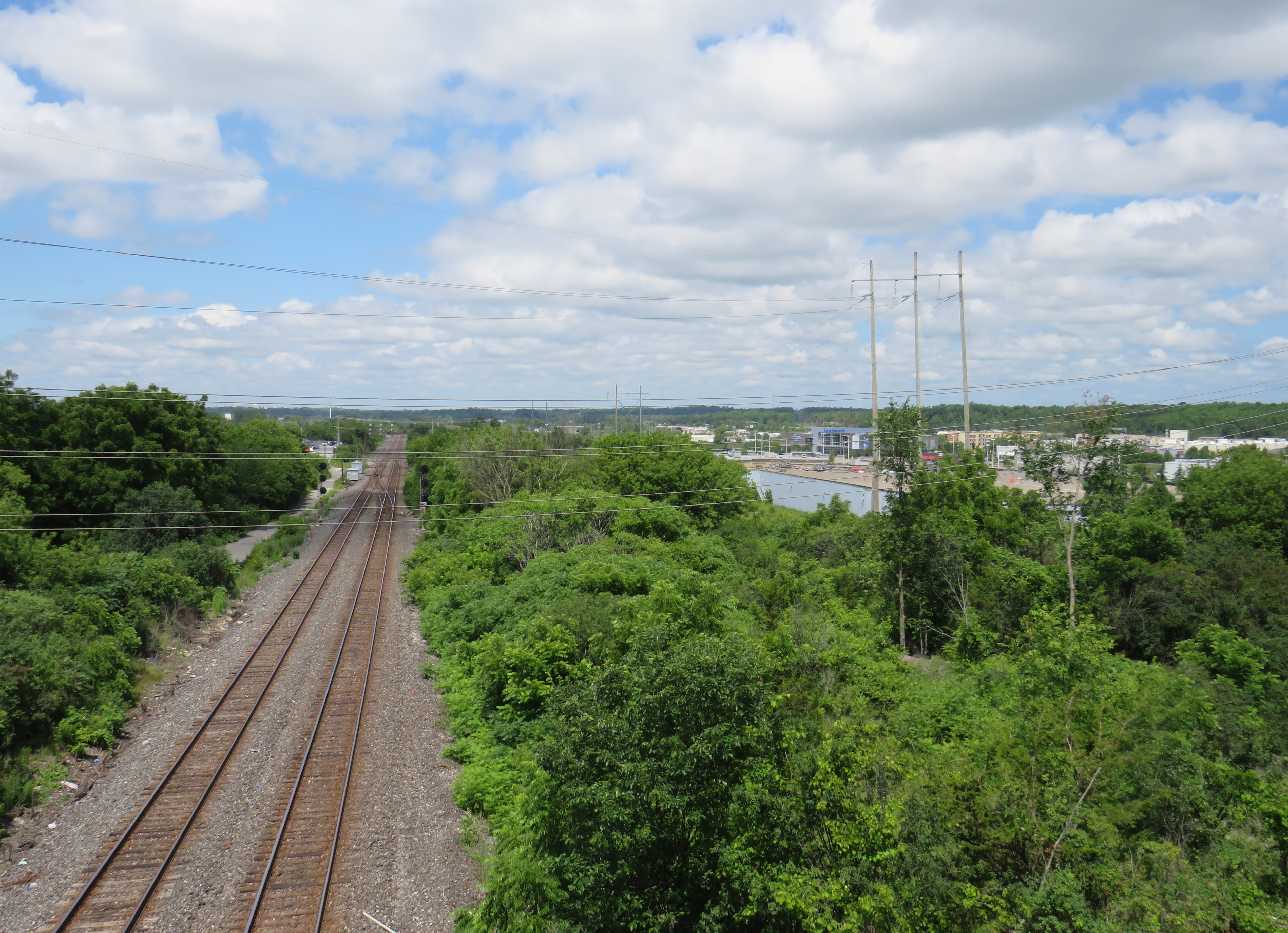
Looking west from Division Street over the CN mainline. The wooded area immediately to the north (right side) offers plenty of room for a new intermodal station.
The CN mainline passes under a long overpass at Division Street that was built in the 1970s not only to cross the CN line but also a Canadian Pacific-owned branch line that once ran between Kingston’s waterfront and Renfrew, near the Ottawa River. The additional room allocated for the now-abandoned CP branch could easily fit two VIA-exclusive tracks, separate from through CN freight trains. This would allow VIA trains to sit overnight, and provide early-morning service to Toronto, Montreal, and Ottawa leaving on schedule. If the Alto HSR takes over the bulk of the through passenger traffic, Kingston will have an excellent regional hub that will serve Eastern Ontario rail passengers far better than the status quo, with more reliable schedules and the opportunity for late night arrivals.
Looking north from the Division Street railway overpass towards Highway 401.
Another advantage of the Division Street site is the proximity to Highway 401. This would allow intercity and regional buses to easily exit and enter the intermodal station. As Division Street continues south towards Downtown Kingston and Queen’s University and is already a major Kingston Transit corridor (with direct and regular service on Routes 1, 2, and 701/702 express, as well as other nearby routes), it’s a logical focal point that can consolidate the various intercity bus stops.
Back in June, Alto announced that federal transport minister Steven MacKinnon directed the consortium to “…develop a plan to assess a southern route option between Peterborough and Ottawa that includes a potential stop in Kingston that would interconnect with VIA Rail services, subject to technical feasibility and project requirements.”
Previous conceptual maps showed the proposed southern alignment located far from Kingston’s urban area, with the closest potential station locations in sparsely-populated South Frontenac Township near the communities of Verona, Sydenham, or Perth Road, at least 20-30 minutes north of Kingston’s urban area by car. If Alto were to serve Kingston properly, it would have to swing much further south, adding to construction costs and through travel times. A spur line into Kingston might make more sense, then, just as the Grand Trunk did 170 years ago.
The time savings to Montreal, Toronto, and Ottawa with a high speed line from Kingston might be better provided with a new conventional railway station and more flexible, reliable service to meet the needs of communities like Kingston, Belleville, and Brockville, rather than forcing Alto farther south. Division Street offers that opportunity.
A Simcoe County Linx bus with my bicycle on the rack at Bradford GO Station
Within Southern Ontario, there are some excellent places to go for a bike ride, without needing a car to hit the trails or quiet country roads. GO Transit’s bus and rail network extends all the way to places like Hamilton, Niagara Falls, Peterborough, Brantford, and Kitchener, where great cycling routes can be found. One can make a one-way trip and get a bus or train back, and there are routes of many possible lengths, levels of difficulty, and comfort levels.
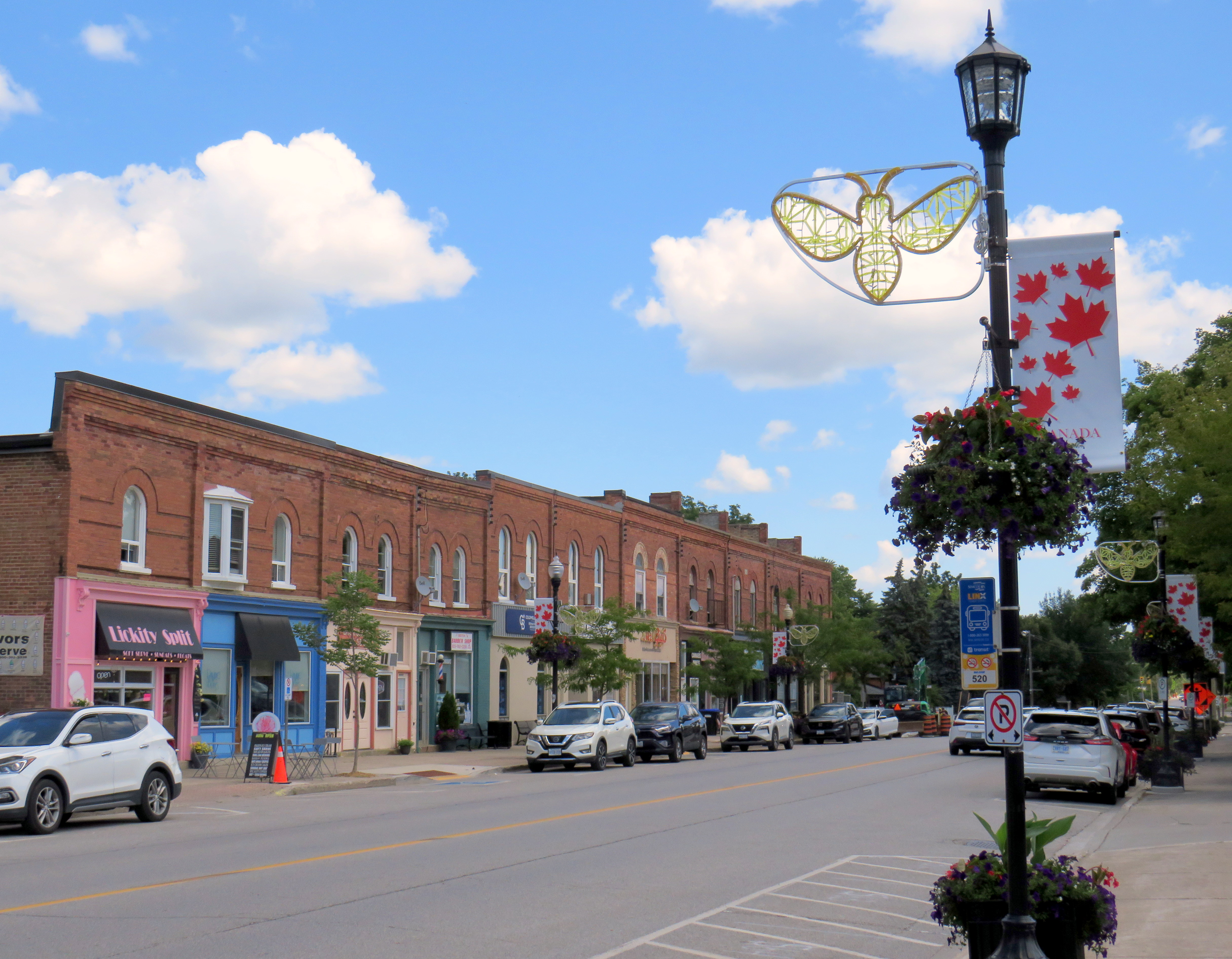
A while back, I wrote about a ride between Georgetown and Newmarket following the Caledon Trailway from Terra Cotta to Tottenham, then following country roads east to the Nokiidaa Trail between Holland Landing and Newmarket. A decade later, I decided to try to finish riding the former CN Beeton Subdivision to Barrie’s waterfront.
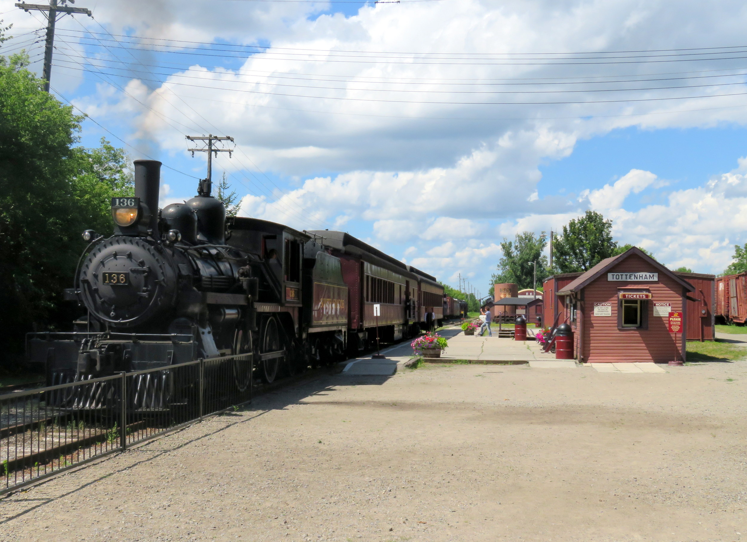
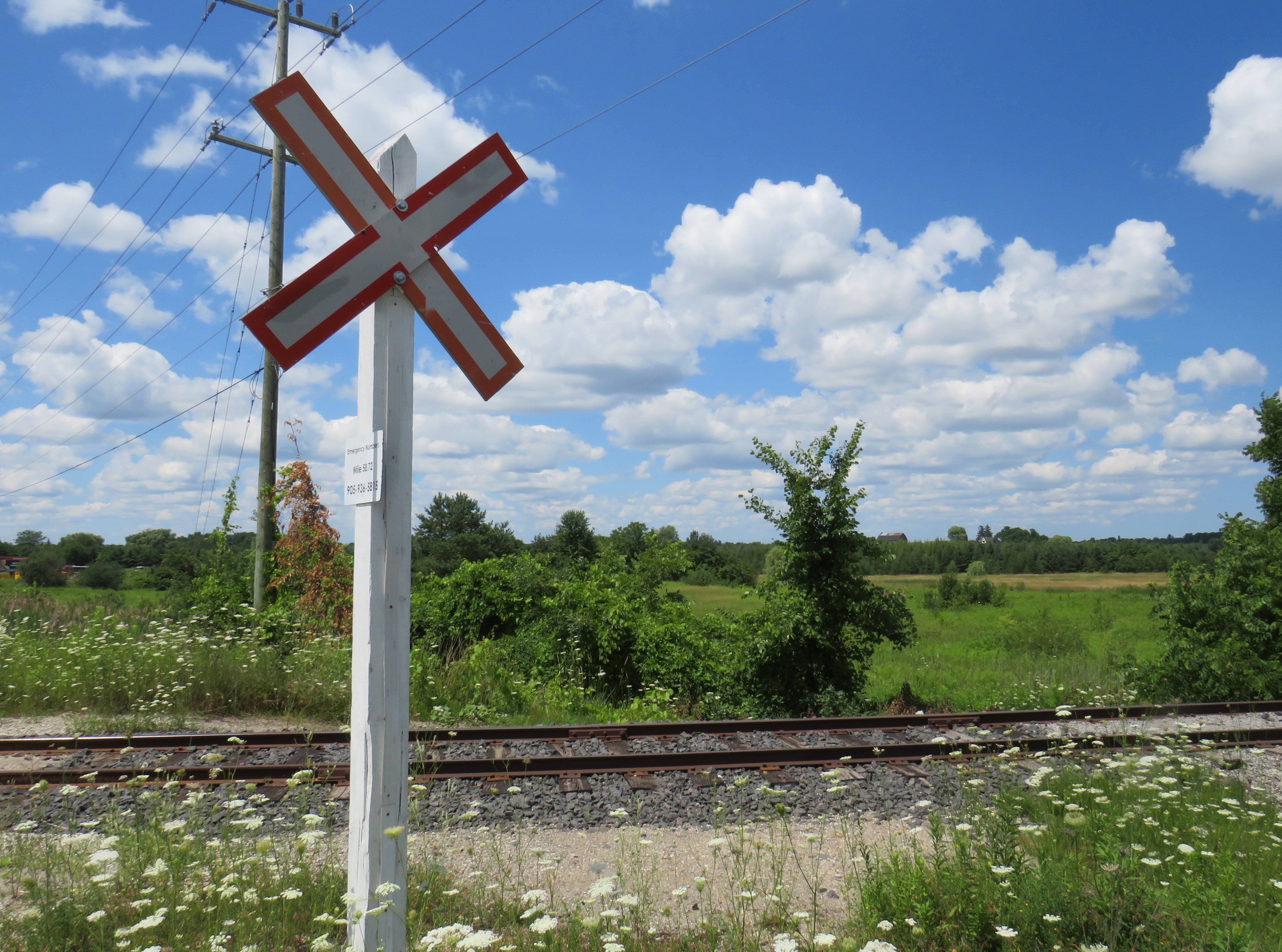
Between Tottenham and Beeton, the Allandale Sub still sees train service
As the section of the former CN branch line between Tottenham — where I was on a previous ride — and Beeton remains in use by the South Simcoe Railway steam train operation, I started the ride in Beeton, at the north end of the remaining track. Beeton is also a stop on Simcoe County Linx’s Route 5 between Bradford GO Station and Alliston, which runs every hour during weekday daytime hours, making it an easy place to get to without a car.
Downtown Beeton, with a Simcoe County Linx bus stop in the foreground
At Beeton, the SSR track comes to an end and the rail trail picks back up for a short bit. Unfortunately, there is no easy, safe cycling connection between Tottenham and Beeton; County Road 10 is a busy road without paved shoulders, and 4th Line, which leads east from Tottenham towards a quieter alternative route, is narrow, poorly maintained, and hilly, unsuitable for a casual cyclist or walker. Hence, the decision to skip the Tottenham-Beeton section.
The SSR crossing in Beeton
From Beeton’s Main Street, either Dayfoot or Centre Street provide quiet, low-traffic routes north to Line 9 (Lily Street) to a section of trail as far as Line 10. From there, pedestrians and cyclists must detour to 10th Side Road for 1.5 kilometres at Allimil due to a missing bridge over a small stream and a potato processing plant partly on the old right of way. Allimil was also once known as Beeton Junction as this was where a branch line split off the busier Hamilton-Allandale route to serve Alliston, Creemore, and Collingwood. That other branch line’s right-of-way, unfortunately, was not preserved.
10th Sideroad is relatively busy, and there are no paved shoulders, but the traffic I encountered was generally respectful. That said, I was grateful to get back on the trail.
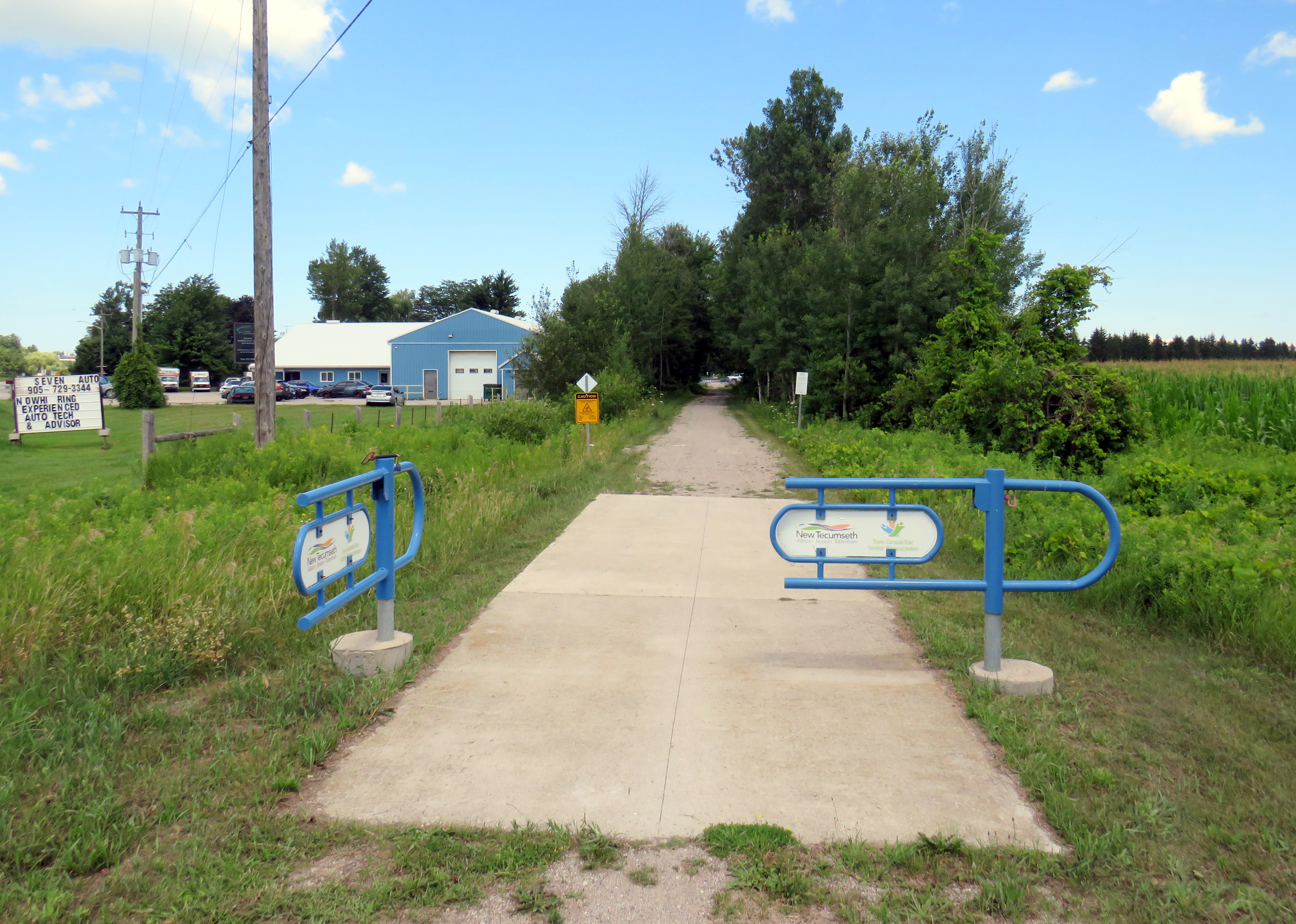
10th Sideroad, New Tecumseth, where pedestrians and cyclists using the rail trail must divert north of BeetonRe-entering the Trans-Canada Trail at 10th Sideroad. The quality of the ride between here and Innisfil was quite good.Note the Trans Canada Trail marker on the p-gate.
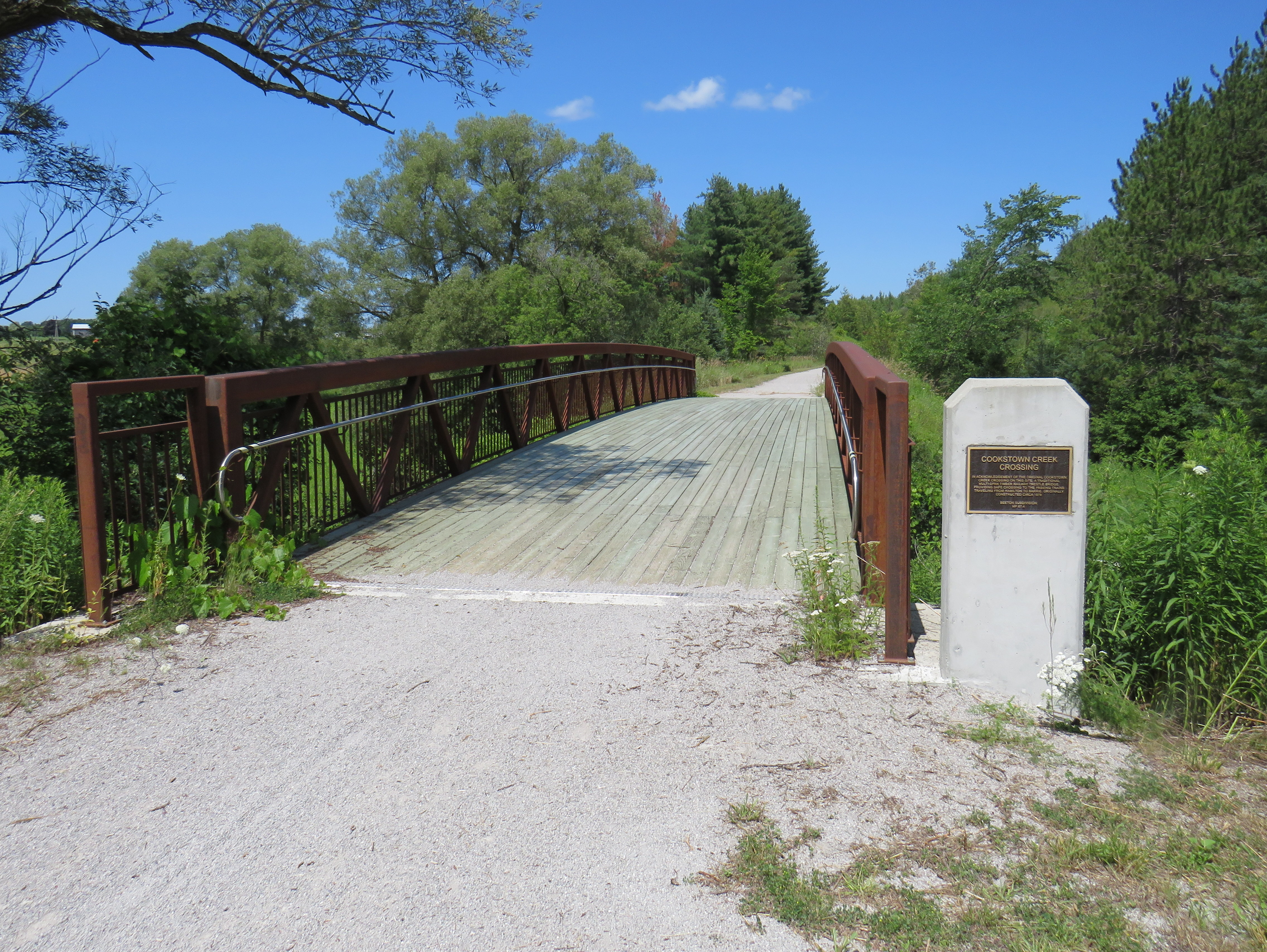
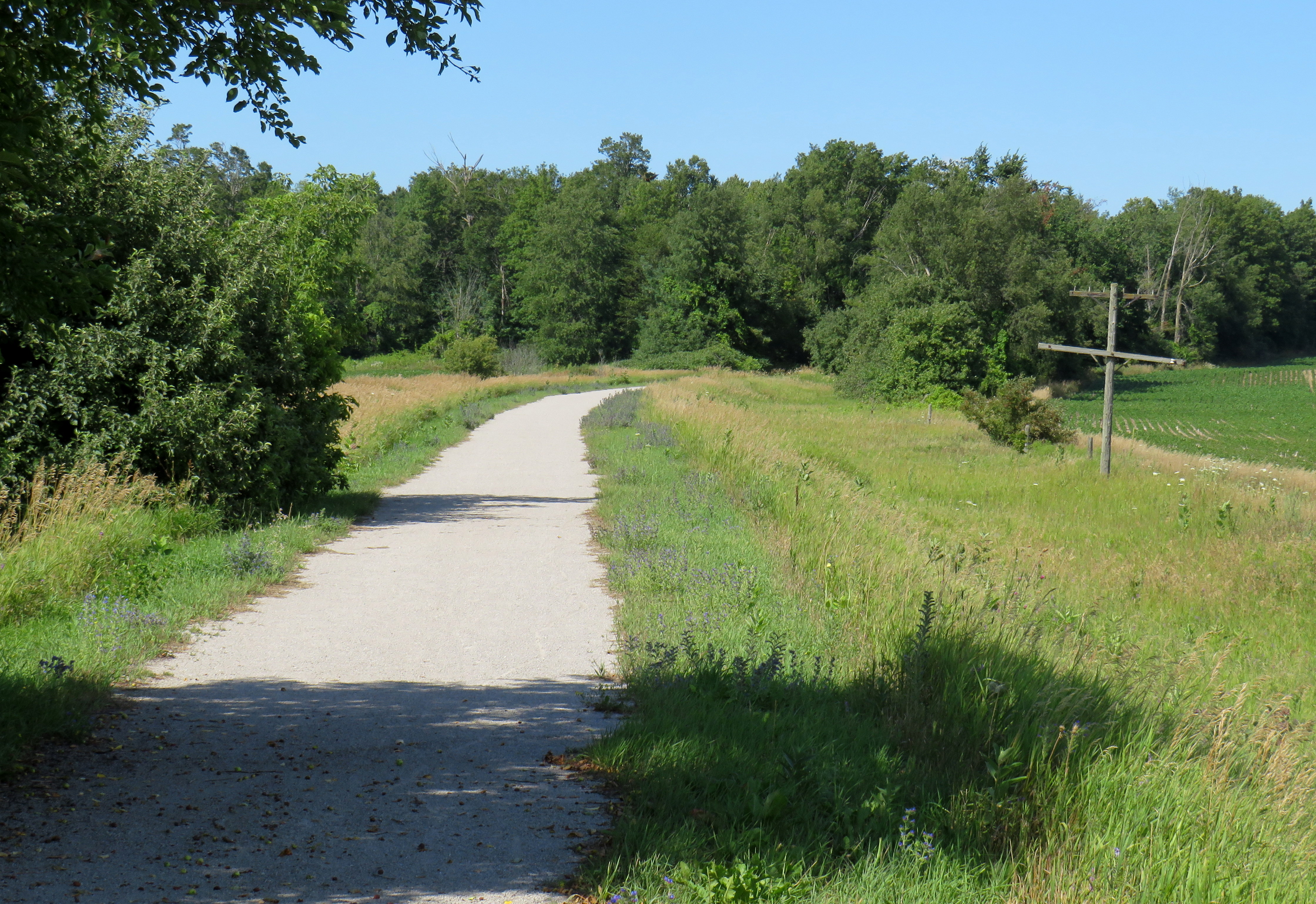
From this point as far as 5th Sideroad in Innisfil (and just south of Barrie), the trail is in great shape, with a consistent smooth gravel surface. The section between Allimil and Cookstown only opened less than a decade ago; where one property owner on Line 13 took over the old railbed, the trail properly detours around the farm without any hassle. A replacement bridge over Cookstown Creek is accompanied by photographs of the old wooden bridge.
A new rail trail bridge installed in 2021. Nearby, an interpretive plaque displays images of the former structure this replaced.
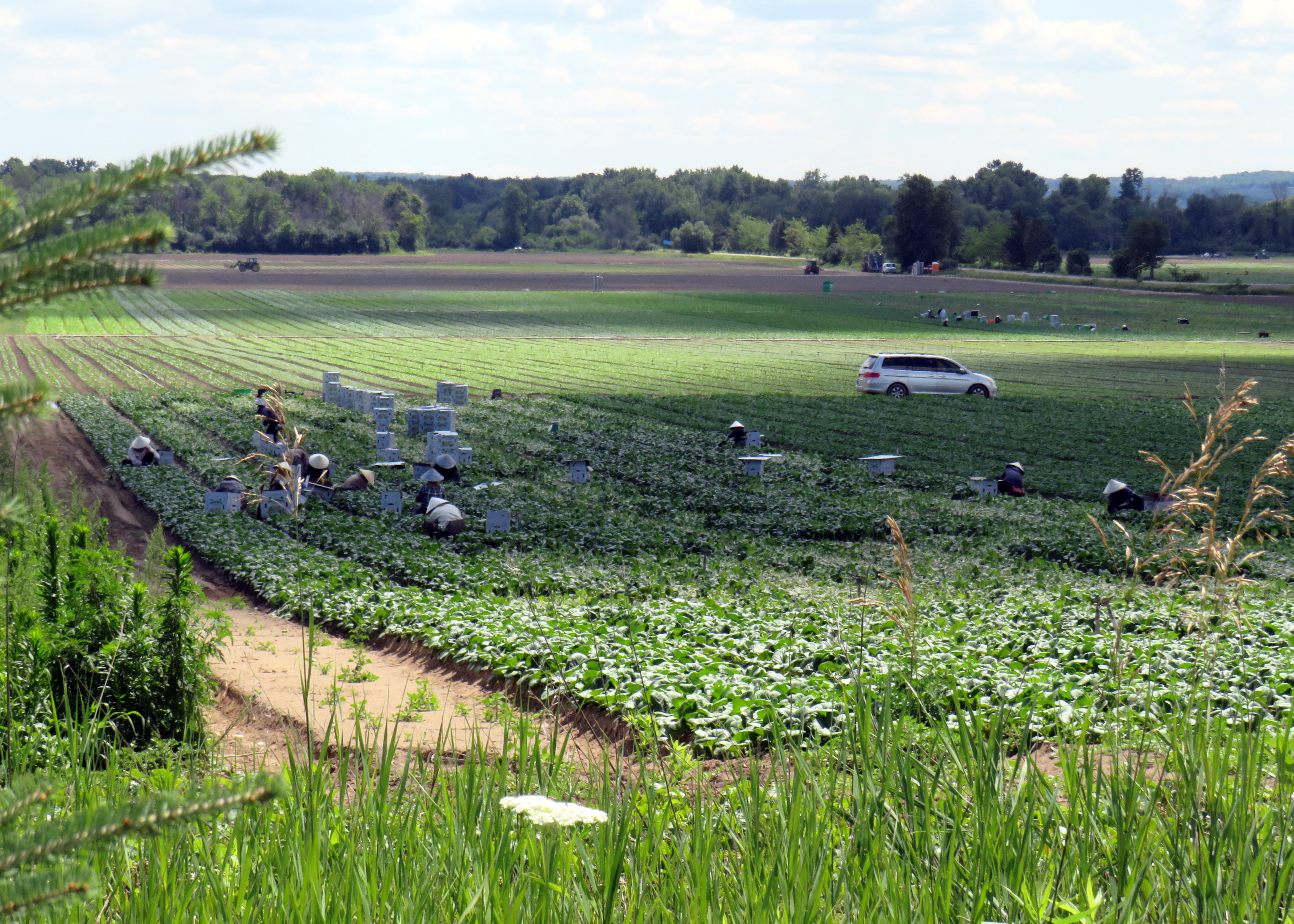
Southern Simcoe County is famous for vegetable production, including the Holland Marsh and the potato fields of New Tecumseh, Adjala-Tosorontio, and West Gwillimbury. The trail runs right through these lands, revealing how Ontarians get much of their food. Along the route, I spotted several dozen farm workers sporting nón lá to protect themselves from the sun while tending to leafy vegetables.
Farm workers tending to vegetables near the rail trailWhy did the turkey cross the trail?
At Cookstown and at Thornton, signalized active transportation crossings allow pedestrians and cyclists to easily get across busy roadways. Benches and shade are plentiful, and there were a few pleasant surprises as well. If the trip from Beeton to Barrie had only the short diversion at Allimil, this would be an easy 40-45 kilometre ride. But then I encountered a very stressful ride into Barrie itself.
Northeast of Thornton towards Barrie, where old railway telegraph poles betray the trail’s former use
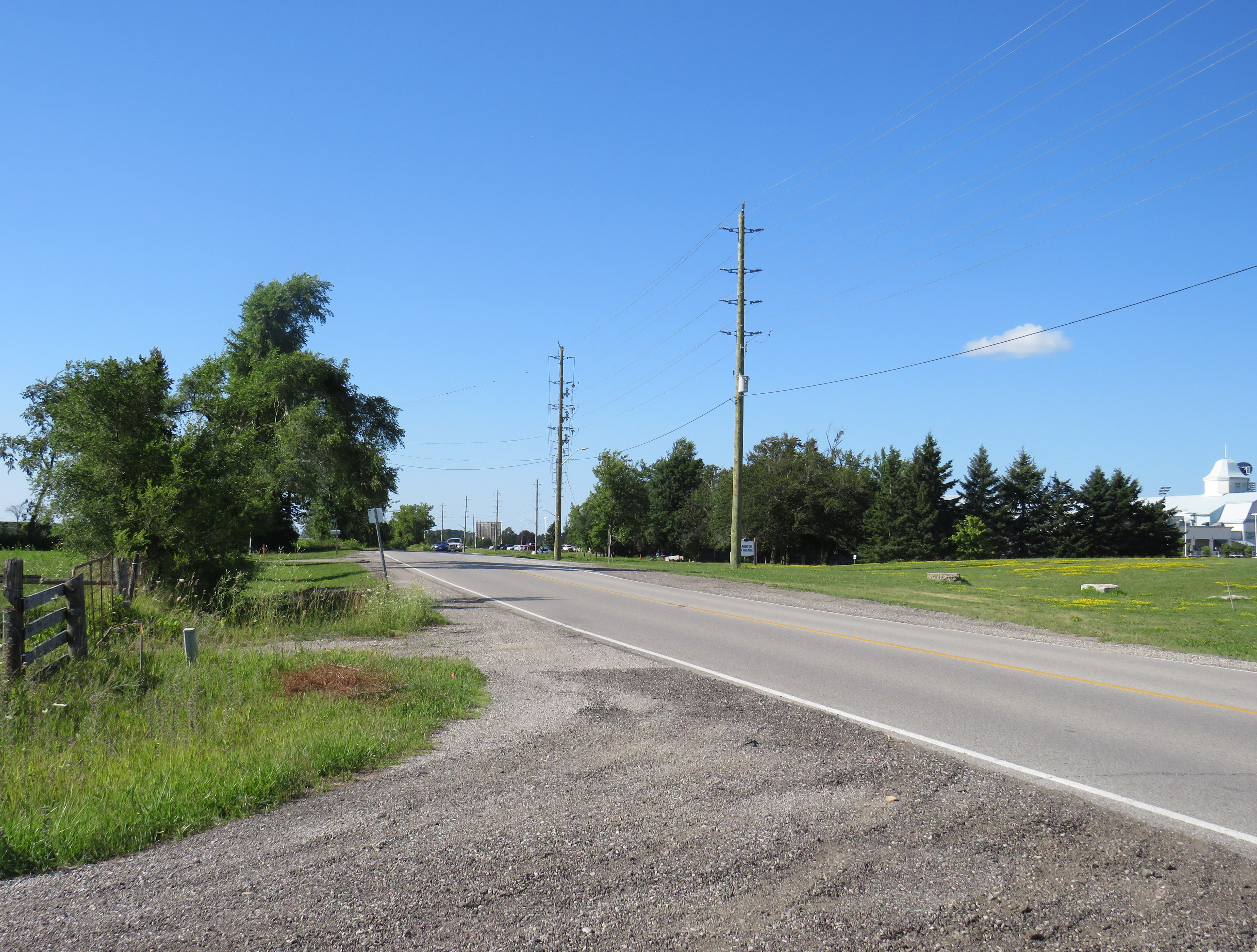
At 10th Sideroad, near the Georgian Downs Racetrack and Casino, the trail came to a sudden end, with no direction on how to continue onwards. The trailhead features a large parking lot, which makes it clear what type of recreational trail user is expected here.
5th Side Road in Innisfil, at the end of the Cookstown-Thornton trail, part of the Trans Canada Trail
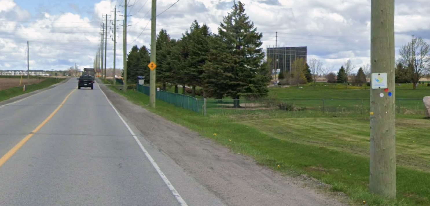
5th Side Road is a terribly busy traffic corridor as it parallels nearby Highway 400 and turns into Veterans Drive as it crosses into the City of Barrie. It’s a two lane road, with rough gravel shoulders, which means either dealing with heavy traffic while taking the lane (not recommended), riding in the grit, or walking the bike. At one point, I had to opt for the latter, coming up a hill on the Veterans Drive section in Barrie. The video below shows the conditions on this portion.
Video showing conditions on 5th Side Road in Innisfil and Veterans Drive in Barrie, part of the signed Trans Canada Trail
Ironically, 5th Side Road and Veterans Drive are part of the designated Trans Canada Trail, along with the Caledon Trailway (along with the Tottenham extension) and the Beeton-Innisfil route. I spotted several TCT signs along 5th Side Road and Veterans Drive despite the dangerous conditions present.
Finally, at Salem Road, Veterans Drive widens from two narrow lanes to an urban four-lane road, complete with painted bike lanes. At this point, I could comfortably ride, following Veterans Road and crossing Highway 400 on the Harvie Road overpass, a much safer ride than the official TCT route via Mapleview Drive. From there, it was an easy downhill ride into Allandale and to Barrie’s waterfront. I had dinner in Downtown Barrie, then took the evening GO train back to Toronto.
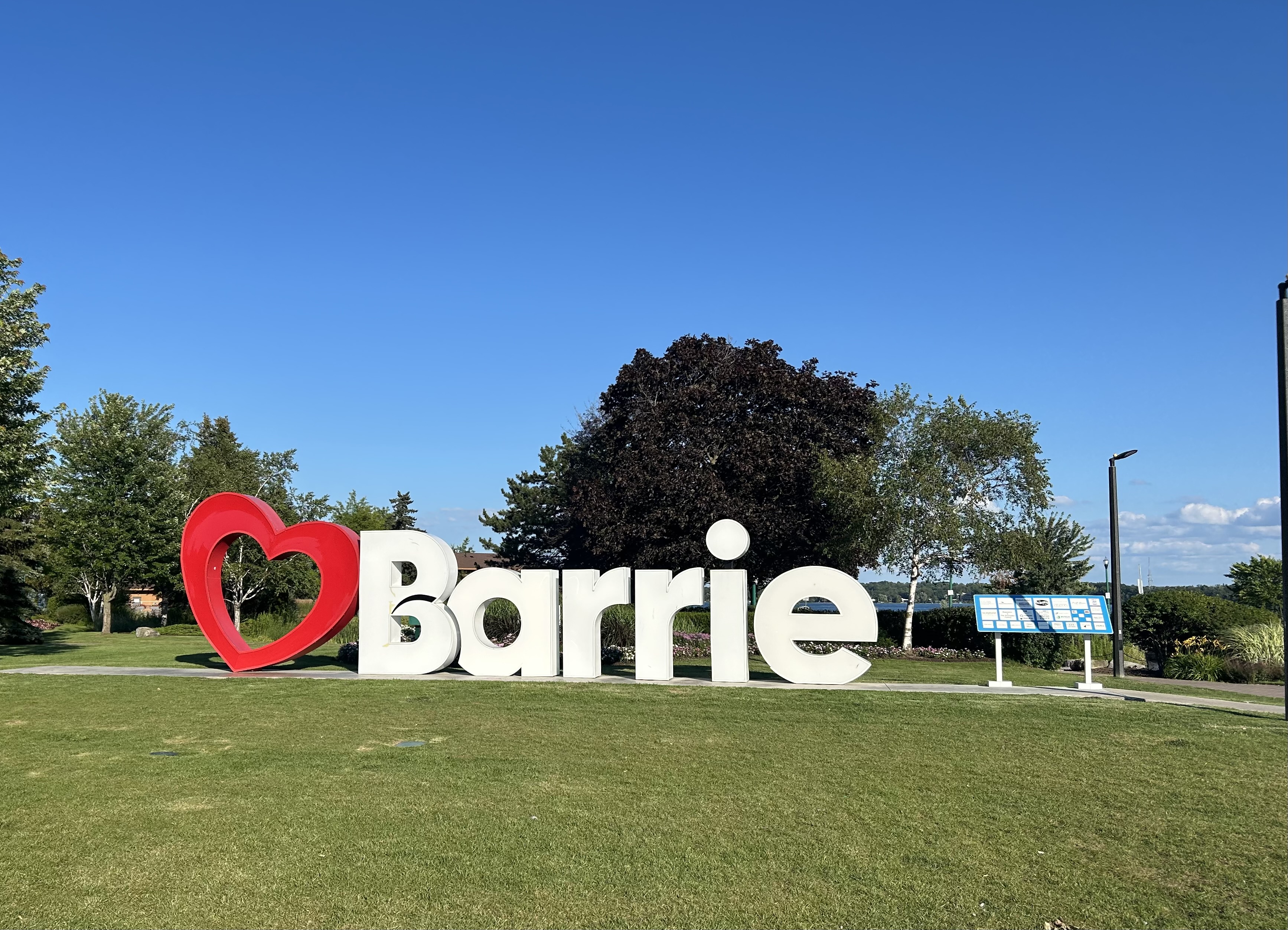
The mandatory city name sign on the downtown waterfront means I made it to Barrie
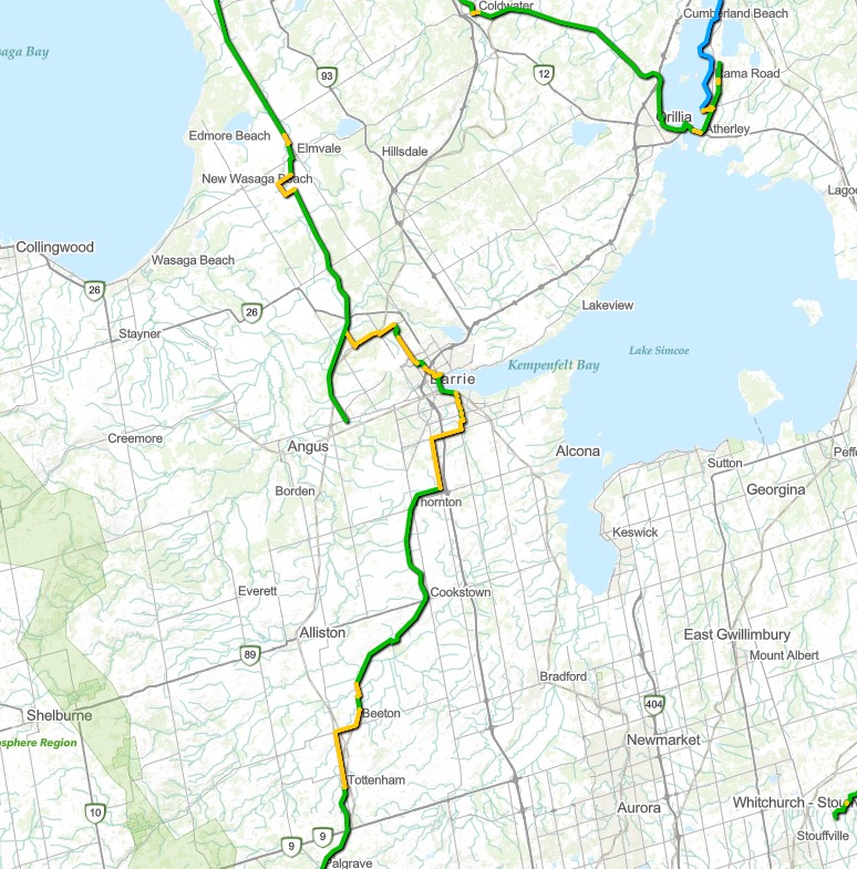
As I found out the hard way, once again, the Trans Canada Trail remains more of an aspiration than a reality. As much of the trail remains incomplete, the online map shows many yellow sections, which indicate on-road sections, usually without any cycling infrastructure. Furthermore, there are many sections that can not be walked or biked at all, but requires a kayak, canoe, or other watercraft, even in Southern Ontario, where active transportation infrastructure is dependant on municipal and provincial initiatives to build those quality, multiuse trails.
Excerpt from the Trans Canada Trail online map showing Simcoe County. Yellow indicates on-road portions of trail; green represents off-road portions (i.e., rail trails and park paths) and the blue section on Lake Couchiching north of Orillia tells you to pack a kayak to use that section.
Birchmount Road and Lawrence Avenue East, Scarborough
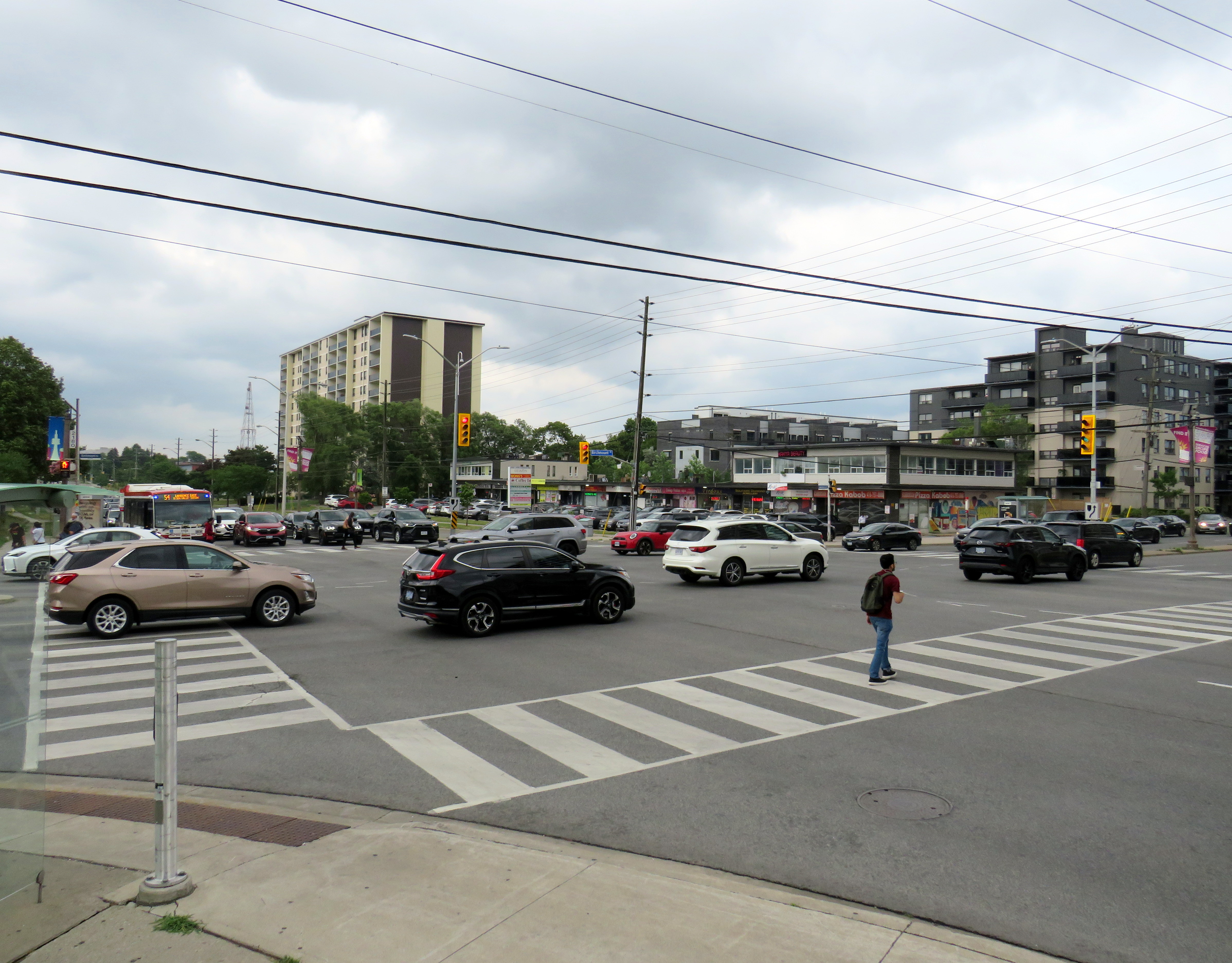
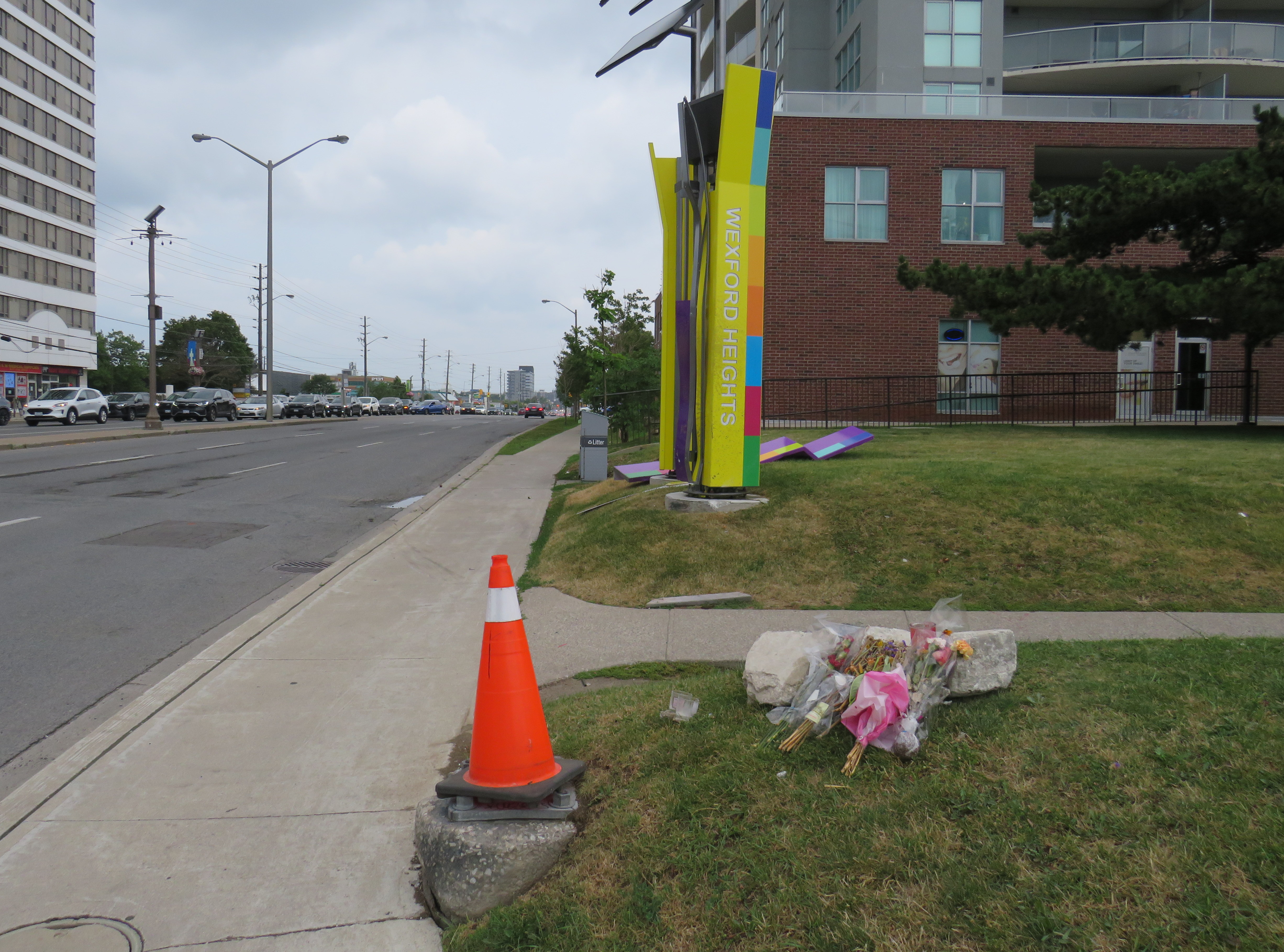
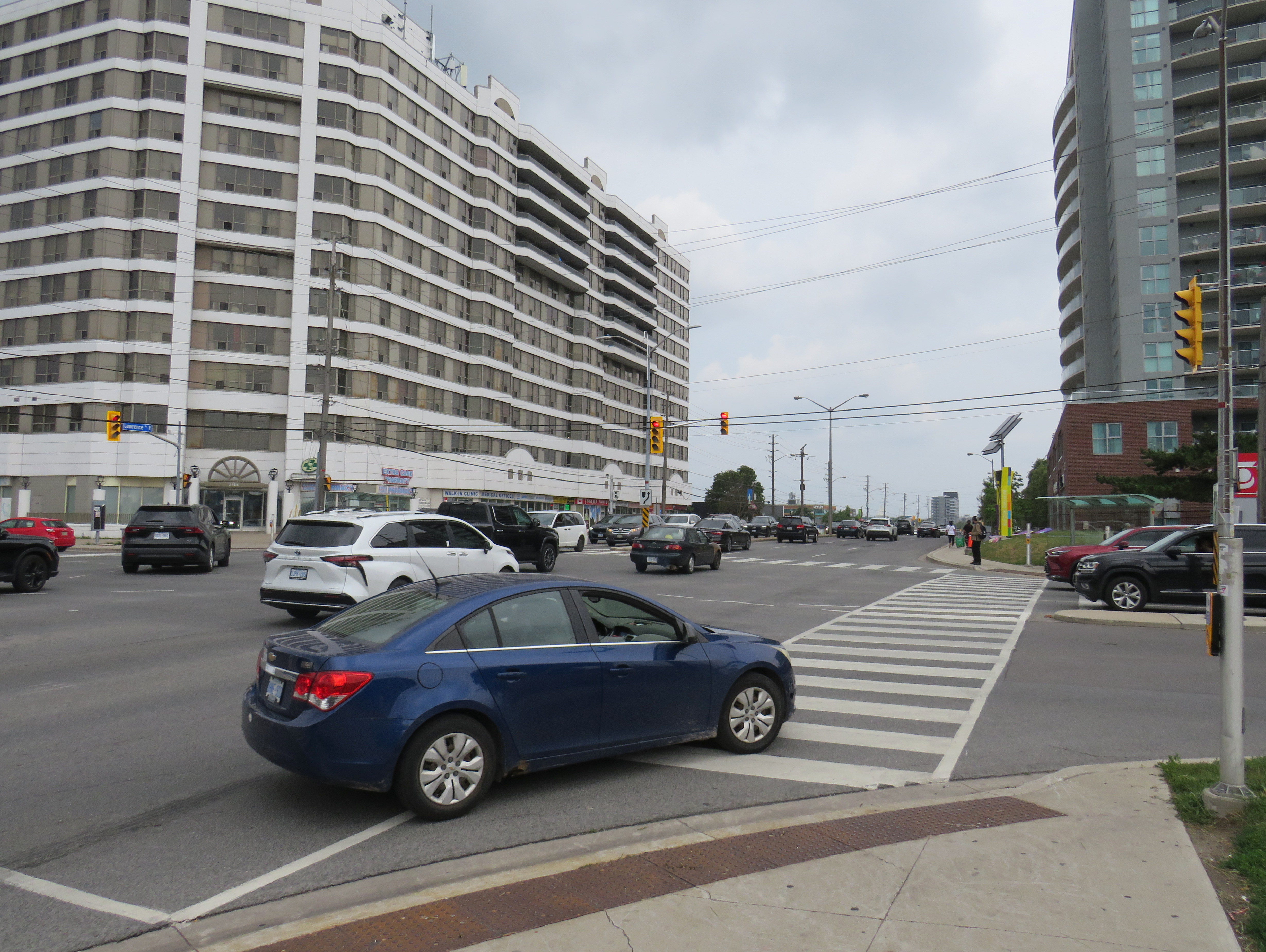
On Friday, July 10, the driver of a westbound Toyota RAV4 SUV drove through a red light on Lawrence Avenue East and struck another vehicle travelling south on Birchmount Avenue. The SUV continued forward, mounting the sidewalk where two pedestrians were standing, and then hit a traffic signal pole. The pole, as designed, fell to the ground. The two pedestrians — a 64-year-old man and a 61-year-old woman — were killed. The drivers of both vehicles — as well as two passengers in the RAV4 — were taken to hospital with “non-life-threatening injuries.” Nearly two weeks later, there have been no updates from the Toronto Police or any news outlet letting the public know of any charges laid; there is not even any mention of who the two dead victims were.
As it’s just another “accident,” society shrugs and continues on.
Roadside memorial to two dead pedestrians, with a pylon covering the base of the fallen traffic pole
A day later, just after 8PM on Saturday, July 11, two people were shot dead on St. Clair Avenue West during the Salsa on St. Clair street festival, and four more were injured. This was not a random shooting, but a violent gunfight where the assailants and those killed knew each other. There were many thousands attending the popular street festival that evening; many of those attending fled fearing for their safety.
Elected leaders from all three levels of government were quick to denounce the violence, and Toronto Police, to its credit, refused to hyperbolize the general risk to the public. Chief Myron Demkiw reminded Torontonians that “shootings are down over 26 per cent compared to the same time last year,” followed by the recognition that such violence “…understandably shakes the sense of safety and security that Torontonians expect and deserve.”
However, there are those whose agendas are not served by nuanced remarks like Chief Demkiw’s. Second-time mayoral candidate Brad Bradford was quick to blast senior police officials, saying it was “wrong to call Toronto a safe city.” Bradford followed with his preferred response from police which “…is to say ‘No. No more. Not now, not ever.’” For someone running on a right-wing reactionary platform, such a response would have been much more helpful against an incumbent mayor.
It’s understandable that the St. Clair shooting has gotten lots of attention from the police, news media, and politicians. Despite a continuing decline in violent crime and Toronto’s well-deserved reputation as a safe city, brazen gun violence is frightening, especially in a crowded area where there are thousands enjoying a summer evening. People want to be safe and feel safe while outside their homes. But that also means being able to walk without fear of being struck and killed by a motorist, even when on a sidewalk.
For intermittent street festivals, parades, and temporary pedestrian malls, a lot of attention is already placed on security, especially after recent vehicle attacks. Portable car traps keep vehicles out, while paid duty police and security guards keep watch at intersections and places in between. But we also do very little to protect pedestrians and other road users from dangerous driving. Doug Ford’s provincial government, working against Toronto and other municipalities, moved against bike lane installation (protected bike lanes that serve as a buffer between motor traffic and sidewalks) and speed enforcement cameras, which were working to reduce drivers’ speeds.
Drivers speeding through a red light on seven-lane Lawrence Avenue East at Birchmount Road. Note the temporary replacement traffic signal affixed to the median pole on the far side of the street.
As a society, we are horrified by gun violence, but generally give scant attention to deaths on our roads that result from motorists’ choices. No councillor, mayor, premier, or prime minister spoke out when two bystanders were killed in Scarborough. Their names have still not been released. There’s no follow up to the police investigation, and it has so far merited just one story in the Toronto Star, CBC Toronto, and CP24.
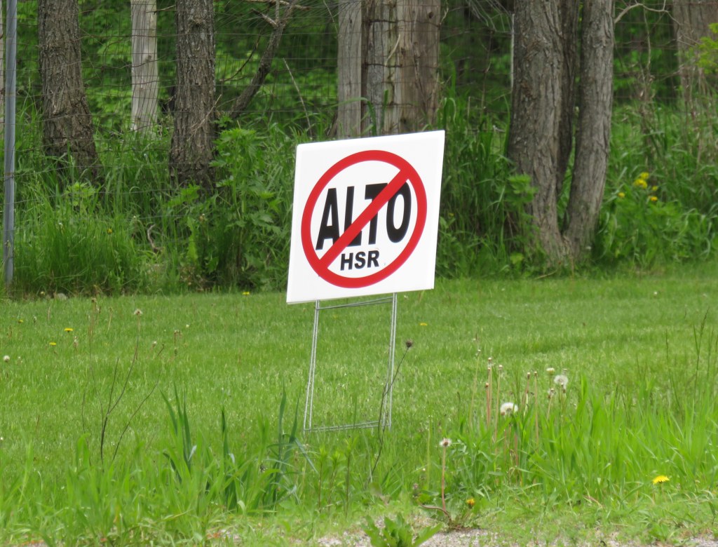
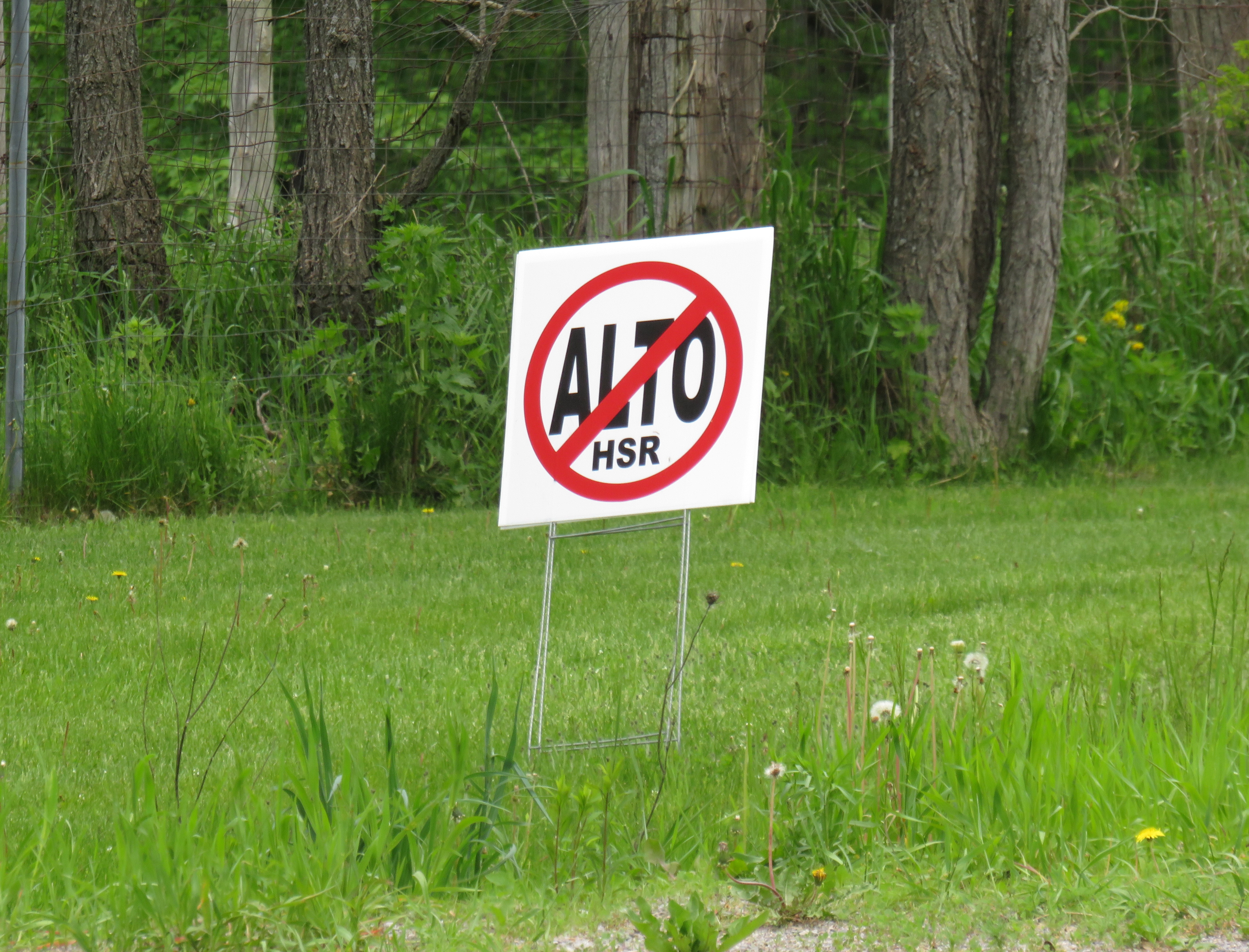
A “No ALTO HSR” sign on a property near Marmora, Ontario
There’s a running joke that Canada leads the world in high speed rail studies, but we never follow through with actually building those high speed lines. Comedian Rick Mercer had at least two sketches on his old weekly CBC television show mocking this state of affairs, as the idea goes back to the 1970s.
“VIA Rail: Yesterday’s speeds, today.”
“Canada’s High Speed Rail Study Industry: The future, never!”
In 2026, however, Canada is finally past the high speed rail study phase and appears to be committed to building the seven-station corridor between Toronto, Ottawa, Montreal, and Quebec City, with a consortium selected that is already planning the detailed route. It’s an exciting time as the first phase, between Ottawa and Montreal, should start construction in three years once the exact corridor is decided upon and land acquisition has begun.
High speed rail, if done right, should benefit Eastern Canada as a whole. Fast and frequent train service will divert a lot of the travel in the busy Toronto-Montreal-Ottawa triangle from the air, reducing emissions and allowing existing airports to handle any increases in long-haul demand. Faster and more reliable passenger train service would also take traffic off the highways and boost commerce within the most populated part of the country. If done right, it will also support plans for better transport infrastructure outside the corridor to Southwestern Ontario and provide Canadian expertise for other projects such as in Alberta, which is contemplating its own passenger rail network between Calgary and Banff and north to Edmonton.
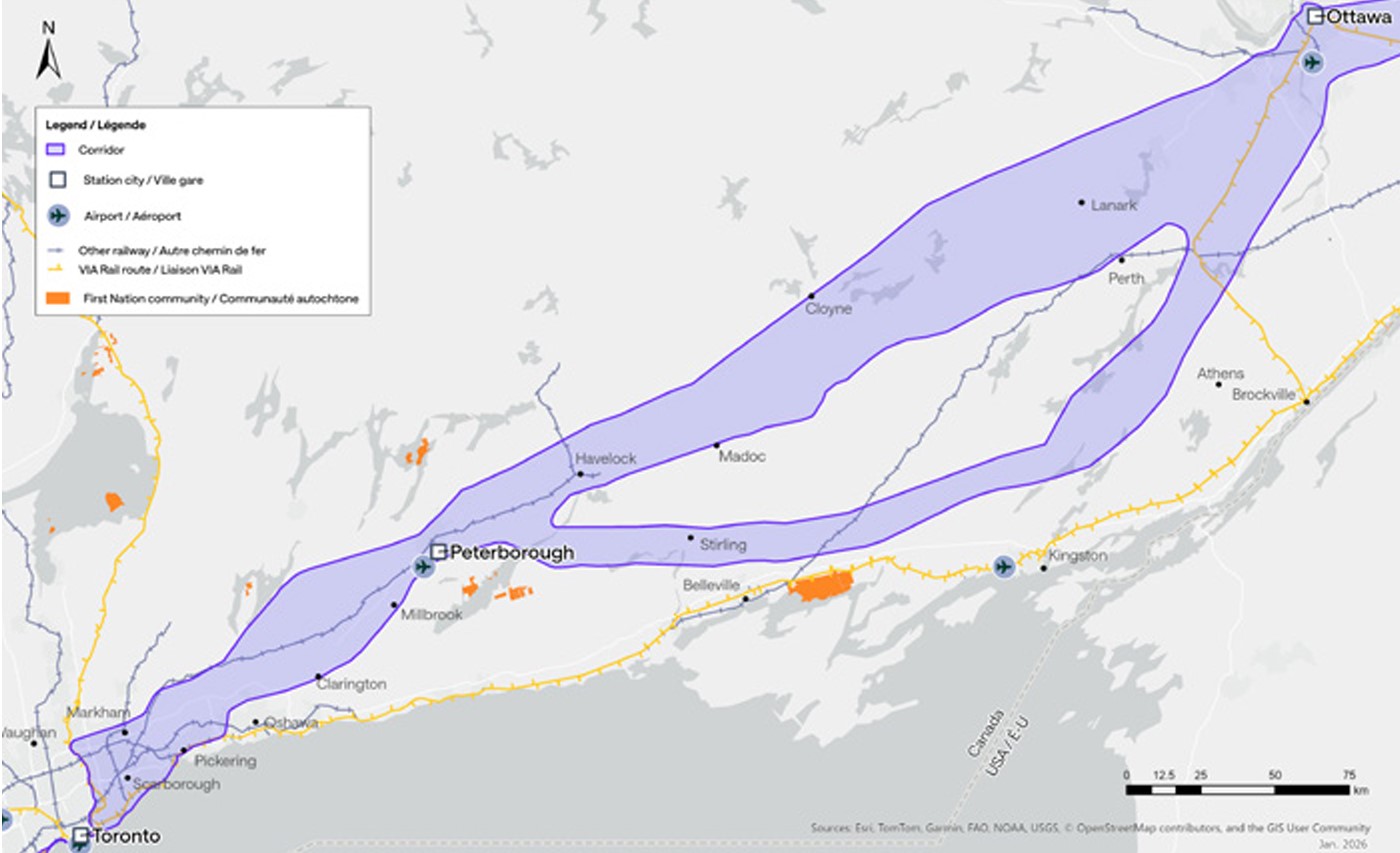
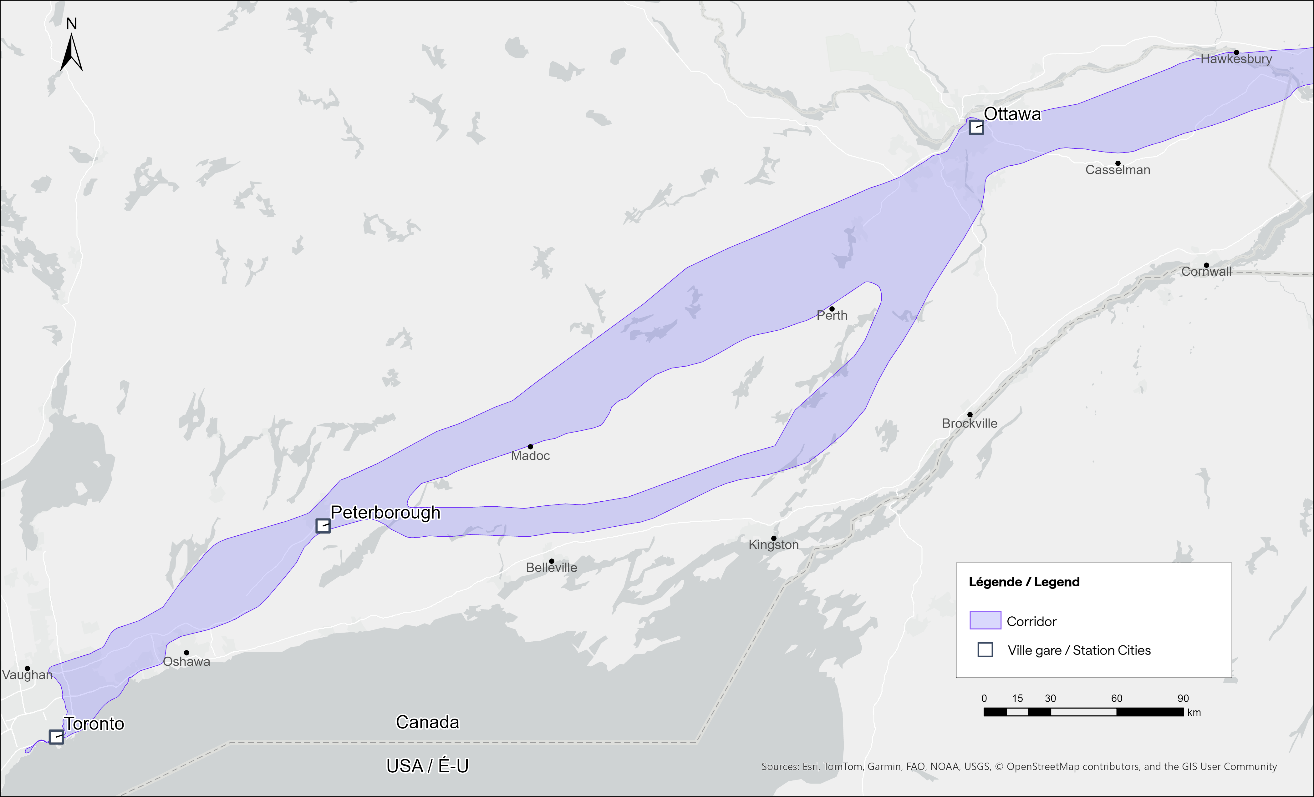
Map of potential routings for the Alto high speed line in Ontario
Not unexpectedly, there is opposition from residents and landowners along the route, especially in Eastern Ontario and the area of Quebec just northwest of Montreal. In Hastings County, north of Trenton and Belleville, there are a few dozen “No Alto HSR” signs on lawns and farms in places like Madoc, Marmora, Stirling, and Tweed. In this part of Ontario, between Peterborough and the Rideau Lakes region southwest of Ottawa, there are two broad potential routes: a southerly corridor runs near Campbellford, Stirling, Tweed, and Westport, including through some productive farmland in Northumberland and Hastings Counties. A second route runs north of Highway 7, just north of Madoc and Perth, along the southern fringes of the Canadian Shield.
Though a high speed railway line would be straight and relatively narrow, it would require the acquisition and severance of hundreds of properties. Along the existing CN and CP railway corridors to the south constructed in the 1850s and 1900s, there are frequent public road and private-access level crossings, something that is not possible with modern high speed trains passing at up to 300 kilometres per hour, so farmers whose land is crossed by the new high speed railway corridor may not be able to access parts of their property easily. Furthermore, there are no stops planned between Peterborough and Ottawa, a distance of over 250 kilometres.
In Prescott & Russell Counties in the Lower Ottawa Valley, even the local governments are opposed to Alto crews doing early survey work to determine an optimum route, with county warden Mario Zanth clear on the matter: “This council does not want them on our territory.” For now, Alto surveying is mostly done by way of drones over land where landowners have not granted access.
Once a more specific route is selected, hopefully some of the opposition will fade. Detailed design work and further consultation should also help mitigate concerns. This is especially important west of Ottawa, where there are the two diverging routes.
Despite the rural opposition, Alto should go ahead. Other major infrastructure projects, especially new highways, can be far more disruptive to local land use. But without local community benefits — at least a new freeway has regular access points — it will be harder to get buy-in.
Therefore, this needs to be a matter of “Alto and” than just “Alto” by itself. This means building and maintaining a supporting network of conventional VIA service, intercity and regional buses, and local transit connections. It might also mean adding a few additional stations along the route, in places such as Perth. Adding additional stops doesn’t have to slow down trains at all; Japan’s Shinkansen has three classes of trains, from the super-express Nozomi to the all-stops Kodama. While most passengers would be through Toronto-Ottawa-Montreal travellers, offering additional stops for select trains can make Alto more accessible to more people, especially if it means providing new options to underserved communities.
An express train passes the local Odawara Shinkansen Station in April 2019
If Alto becomes the backbone of a strong, integrated transportation network in Ontario and Quebec, the benefits will go far beyond those in the six cities directly served the planned high speed line, even to those directly bypassed by Alto trains. This integration is commonplace in Japan and Europe.
In Kingston, for example, a new or upgraded VIA station with additional tracks and platforms would allow for early morning departures and late evening arrivals from Toronto, Ottawa, and Montreal without having to sit on active CN freight tracks overnight; VIA schedules built around serving cities like Belleville, Kingston, and Drummondville would ensure the existing service remains vital as through passengers switch to the faster line. A new Kingston station near Division Street could integrate rail and bus services, with easy access to Highway 401, with local and regional buses to places like Gananoque. Enhanced bus connections to the rest of the Ottawa Valley from the Ottawa Alto/VIA Station could allow travelers from Pembroke, Arnprior, or Hawkesbury to quickly continue their journeys via train. At Trois-Rivières, there should be seamless connections to places like Shawinigan and Victoriaville. The Canada Intercity Transportation Map on this website shows which communities are unserved or underserved by bus and rail: these include many towns in Southern Ontario and Quebec that are within 100 kilometres of the Alto corridor.
Canada is right to invest in high quality and sustainable transportation infrasturure as a nation-building project, to boost the regional and national economy, and promote environmentally friendly travel options. But focusing only on Alto, without a strategy of leveraging the conventional VIA network and intercity bus connections to feed that network, can only limit the success of high speed rail. The communities in between deserve better.
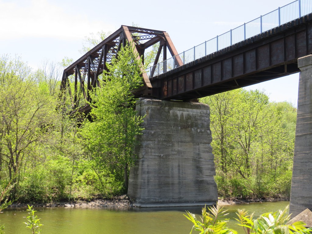
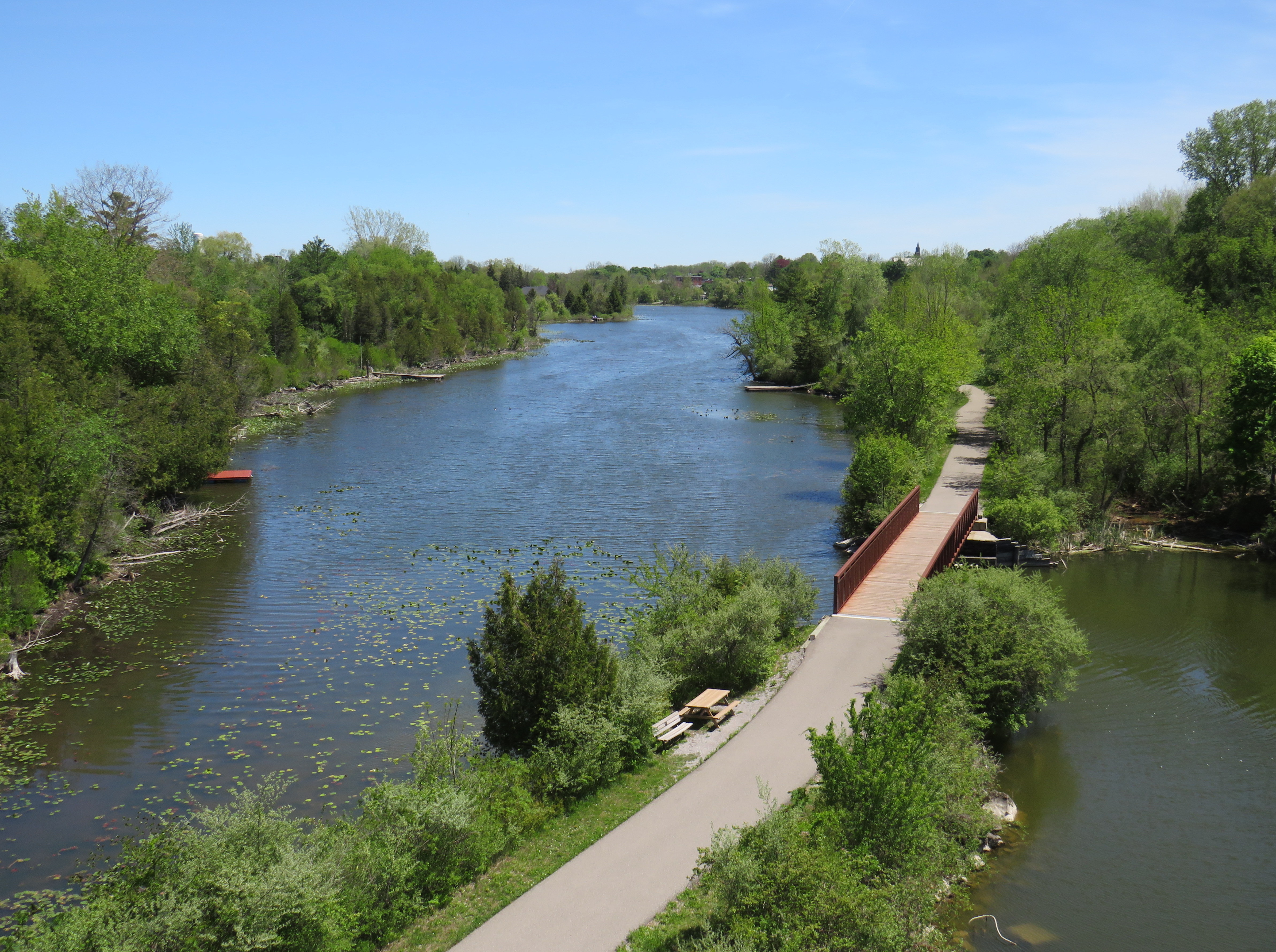
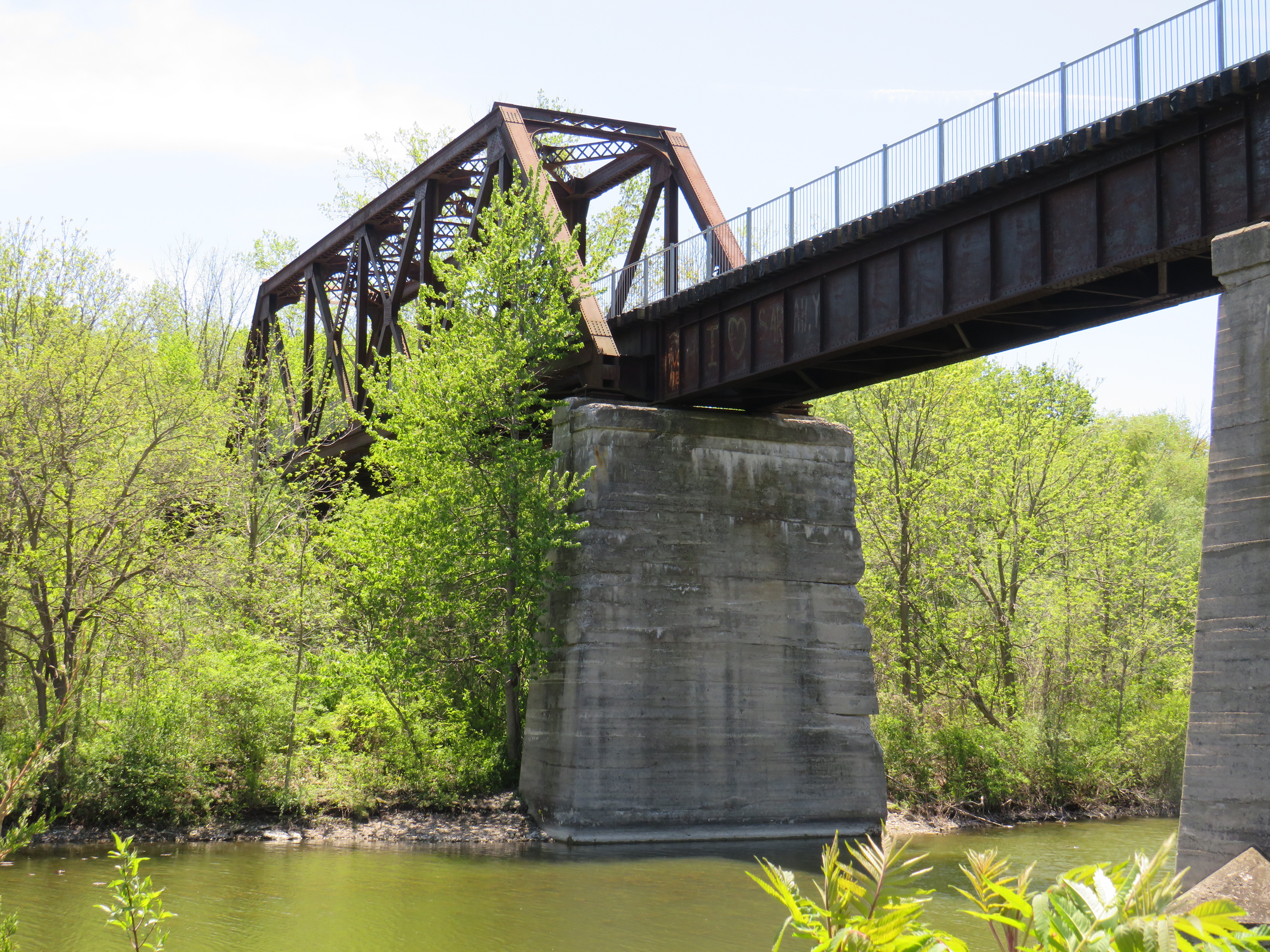
Looking down from the Black Bridge on the Norfolk County Trail to Shadow Lake and Waterford Ponds in May 2026
On a beautiful May Thursday, I met one of my colleagues in the village of Waterford. As he is now living in Port Rowan on Lake Erie, this was an opportunity for us to get some important work done, while also exploring one of Ontario’s great small communities.
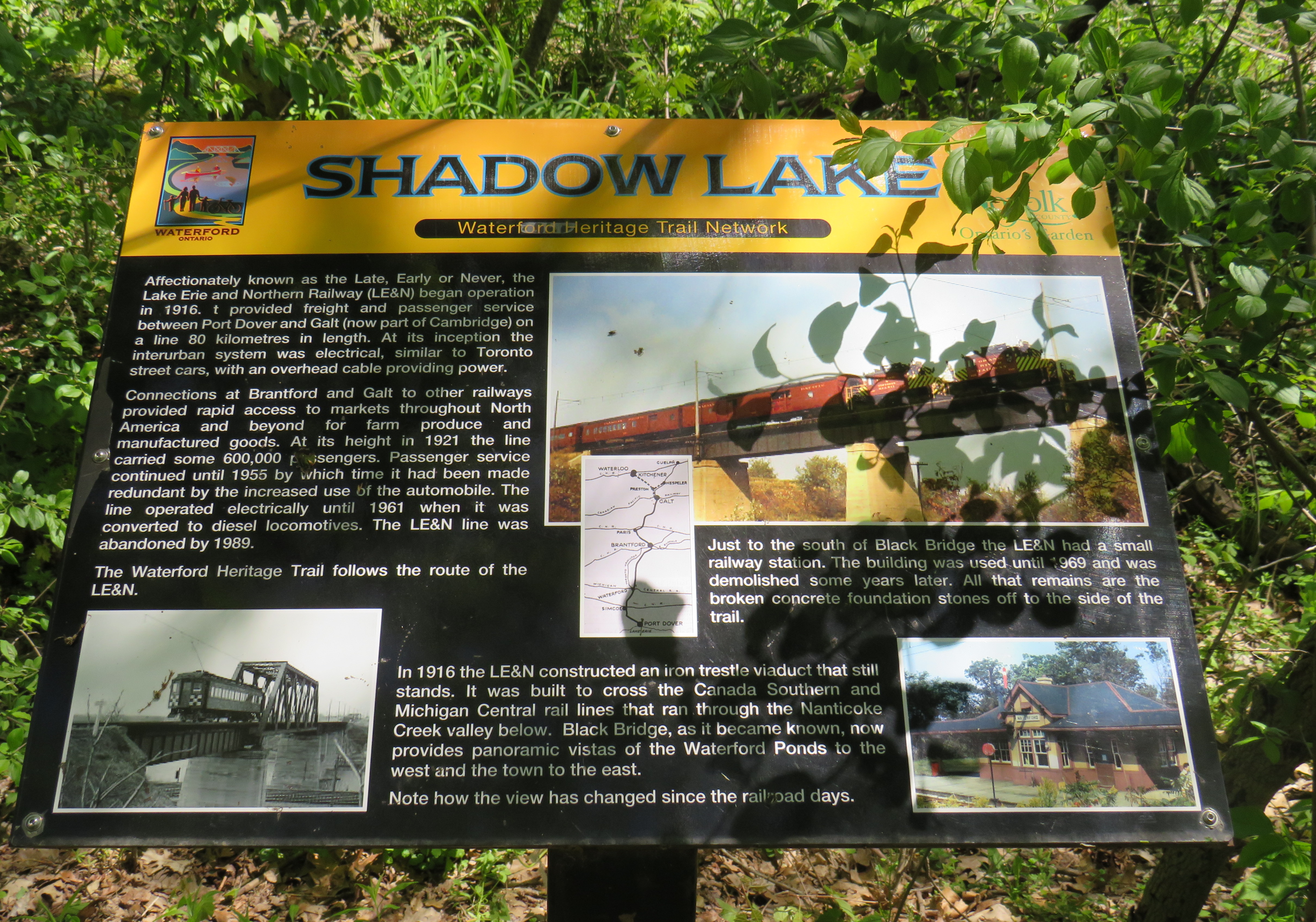
Though the local area was settled over 200 years ago, Waterford was established as a thriving village with the arrival of the Canada Southern Railway (CASO) which was eventually incorporated into the giant New York Central system. The route through Canada, with its divisional headquarters in St. Thomas, was the fastest line between Buffalo, Detroit, and Chicago. It was joined by the Toronto, Hamilton & Buffalo (TH&B), which connected Hamilton and the Canadian Pacific Railway with CASO at Waterford and at Welland. In 1916, the electric Lake Erie & Northern (LE&N) Railway, another Canadian Pacific property, provided regular freight and passenger service between Port Dover, Brantford, and Kitchener. By the 1990s, all three railways were abandoned, but their former rights-of-way remain in active use as part of the local trail network.
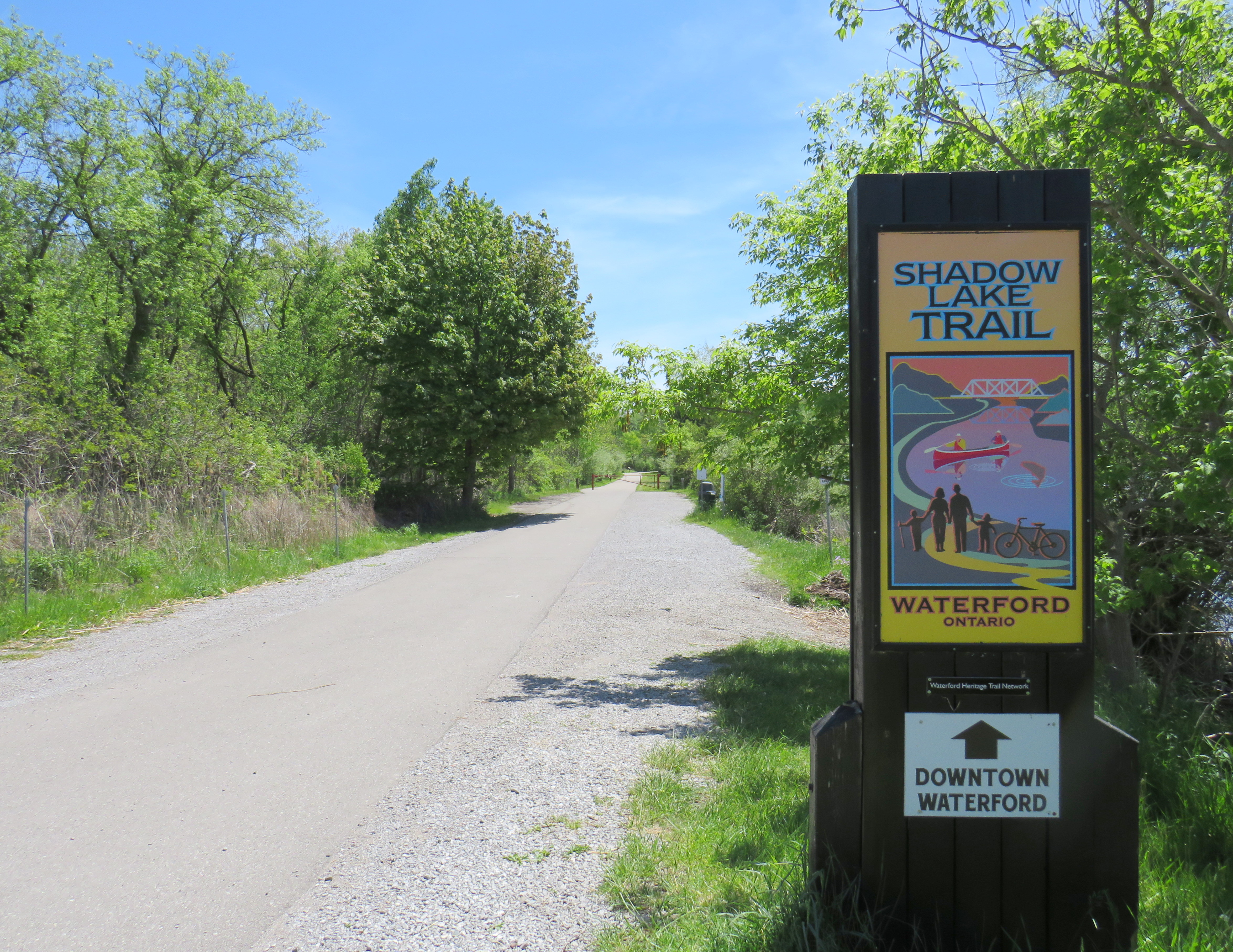
Take the Shadow Lake Trail to Downtown Waterford
The large system of ponds around Waterford, popular with birds, boaters, and anglers, are artificial. Shadow Lake was a millpond created by damming Nanticoke Creek. When constructing its railway, CASO found the sand and gravel deposits in this area irresistible for exploitation; the gravel was first used for railway ballast; larger aggregate pits created new ponds to the west.
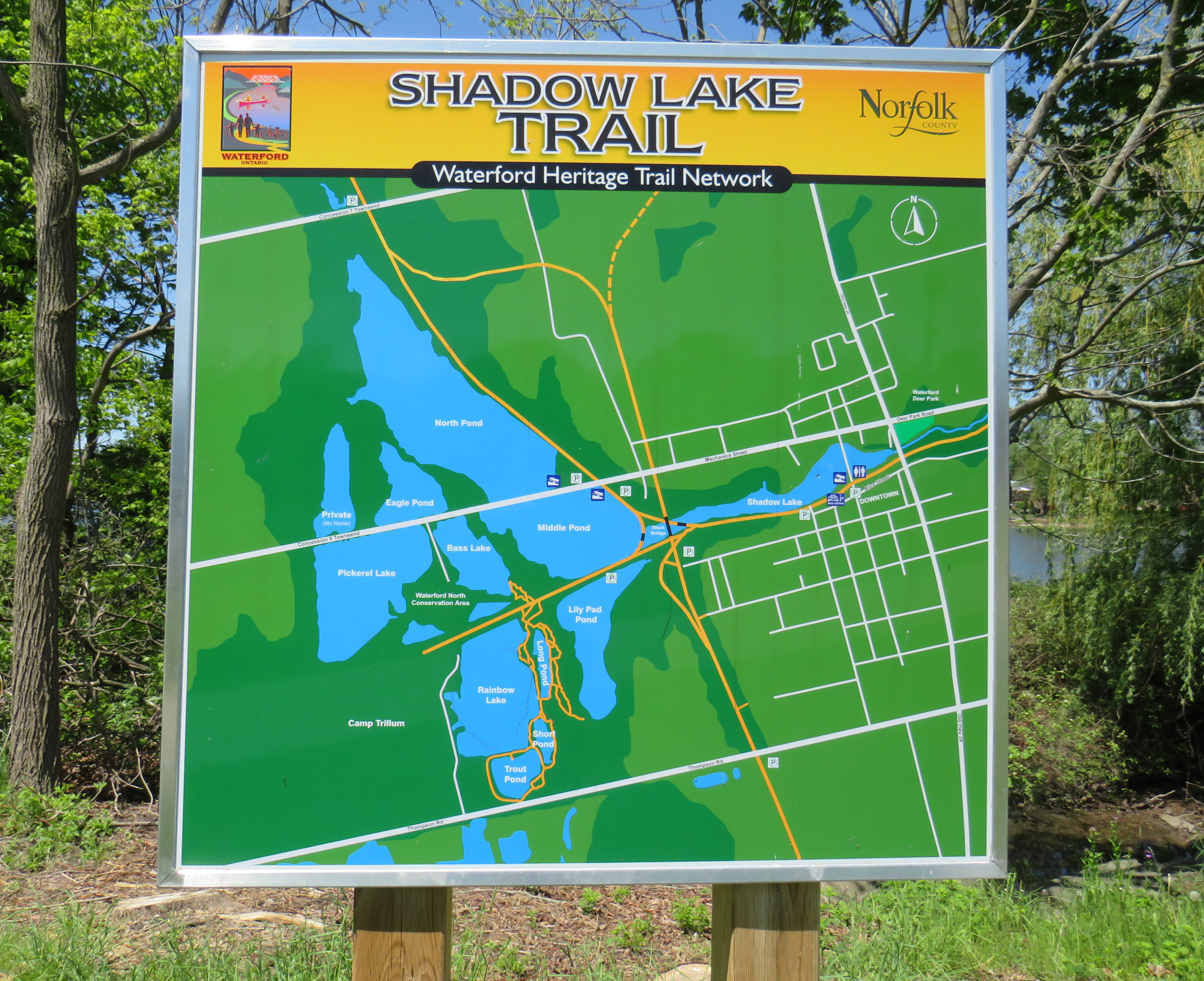
Map of the Shadow Lake Trailand connecting trails in Waterford, along with the extensive ponds surrounding them
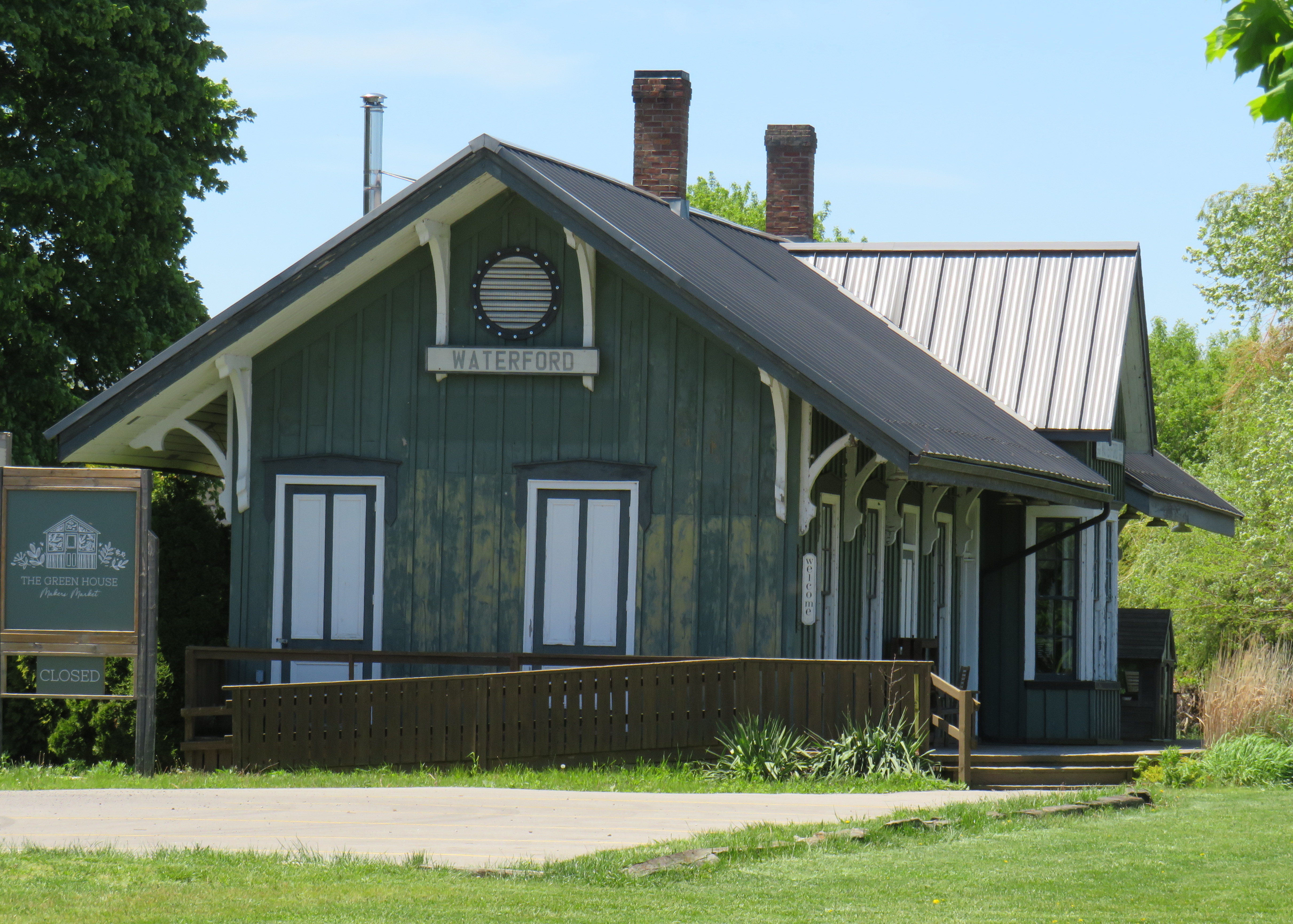
The former Canada Southern Railway Station, which also served the TH&B, still stands, and has recently been home to an artisan market. Sadly, the LE&N station was demolished in the 1970s.
Waterford CASO Station
Despite the loss of the railways and the LE&N station, the railway rights of way are fully intact within the village area and have been converted to trails. Within Waterford, the east-west Shadow Lake Trail follows the former CASO route between the Waterford Conservation Area to the west and Lingwood Park to the east, though it is not part of a continuous trail system across southwestern Ontario. Only short sections within Waterford, Tillsonburg, St. Thomas, and Essex are open to the public; most of the old railway corridor was sold off to local landowners in the late 1980s and early 1990s.
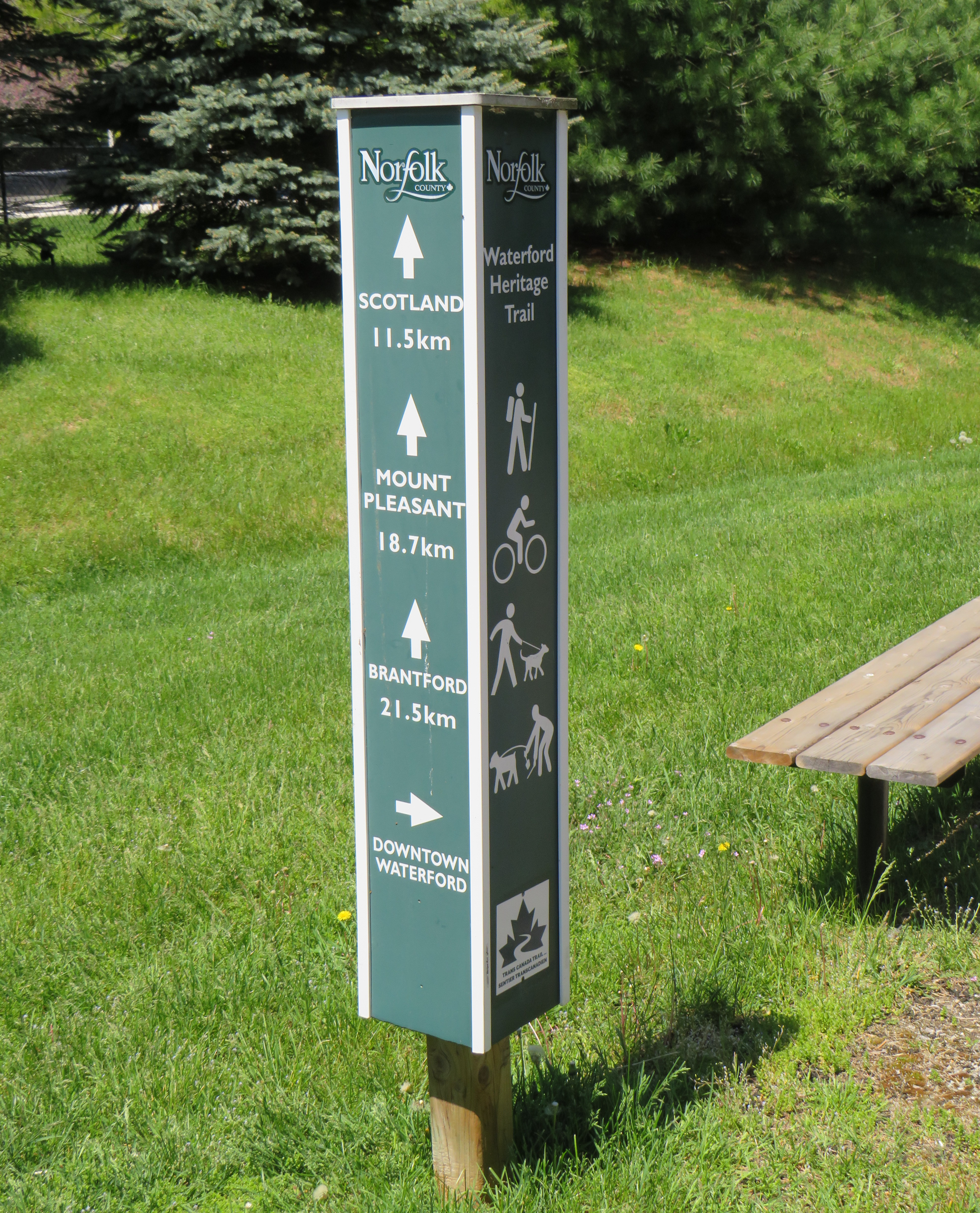
Norfolk County Trail sign
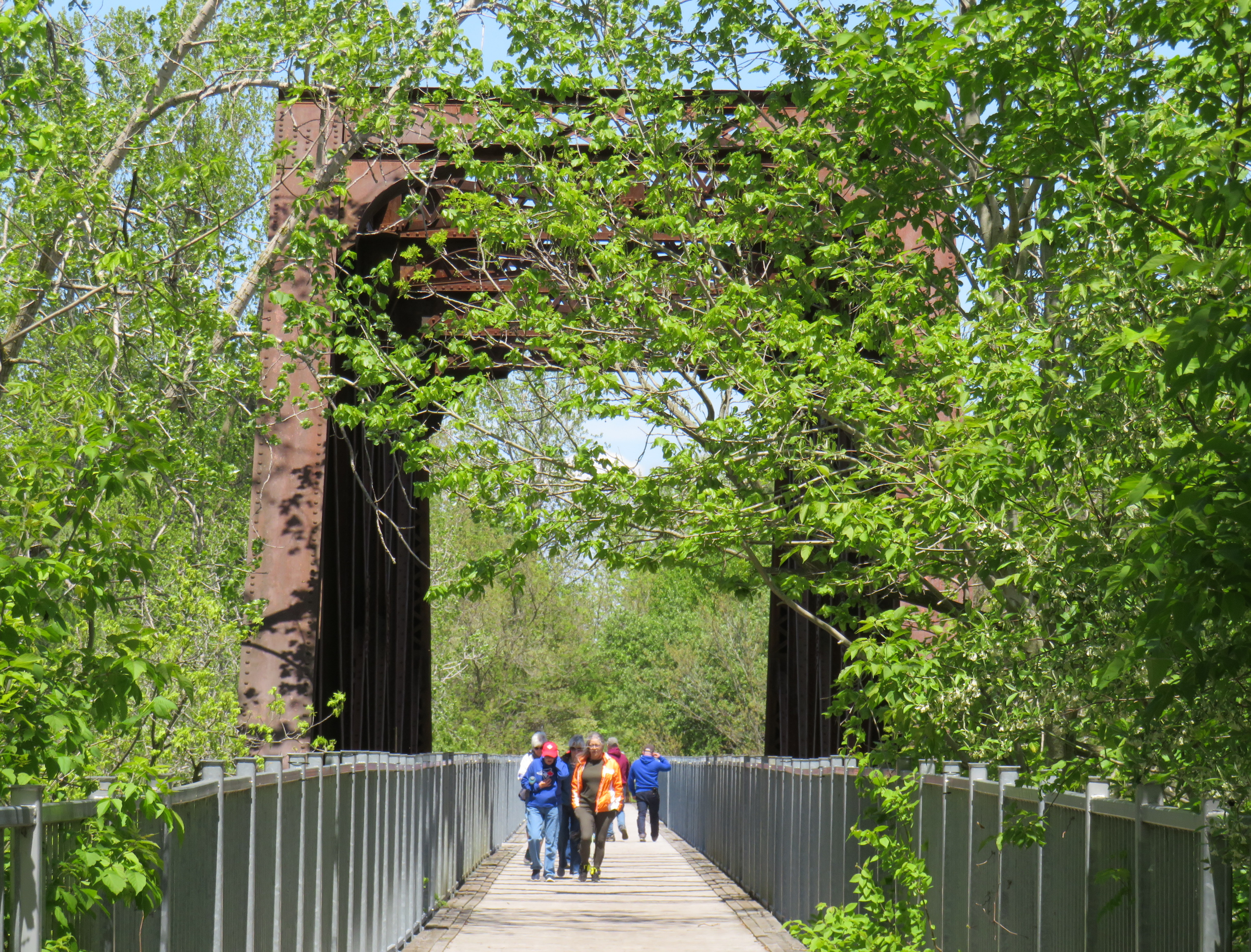
However, the north-south LE&N Trail, which connects to the Shadow Lake Trail by way of a gentle paved pathway or a metal staircase, is part of a much longer rail trail corridor that continues north to Brantford (the trail shifts to the TH&B route north of Waterford) and south to Simcoe and Port Dover. At Brantford, it is easy for the ambitious cyclist to continue east to Hamilton or north to Paris, Cambridge, and Kitchener via connecting high-quality rail trails. The Norfolk County Trail is at its scenic best when it crosses over the Waterford area via the Black Bridge.
The Black Bridge crosses over the old CSR and TH&B railways and the Waterford Ponds
One aspect that I especially appreciated was all the interpretive plaques along the trail system that told the story of Waterford, local industry, and the railways. This is how I learned that the ponds were the result of milling and quarrying, rather than truly natural features.
One of several interpretive plaques along the trail system in Waterford
Despite their attractiveness for long-distance cyclists, the trails within the Waterford area are well-used by residents and visitors going for shorter walks. The trail network within Waterford connects well to local streets and to itself by way of the former low-level TH&B wye tracks, which also cross the ponds. A walker can easily do a round trip without backtracking while being surrounded by nature. Wayfinding signage is very good, and benches are plentiful. The ponds are a great spot for bird watching. As we know how good walking is for our physical and mental health, Waterford is blessed with this network and could be a model for other smaller urban centres and rural communities.
In the early afternoon on a Thursday, the Black Bridge was popular with pedestrians and cyclists
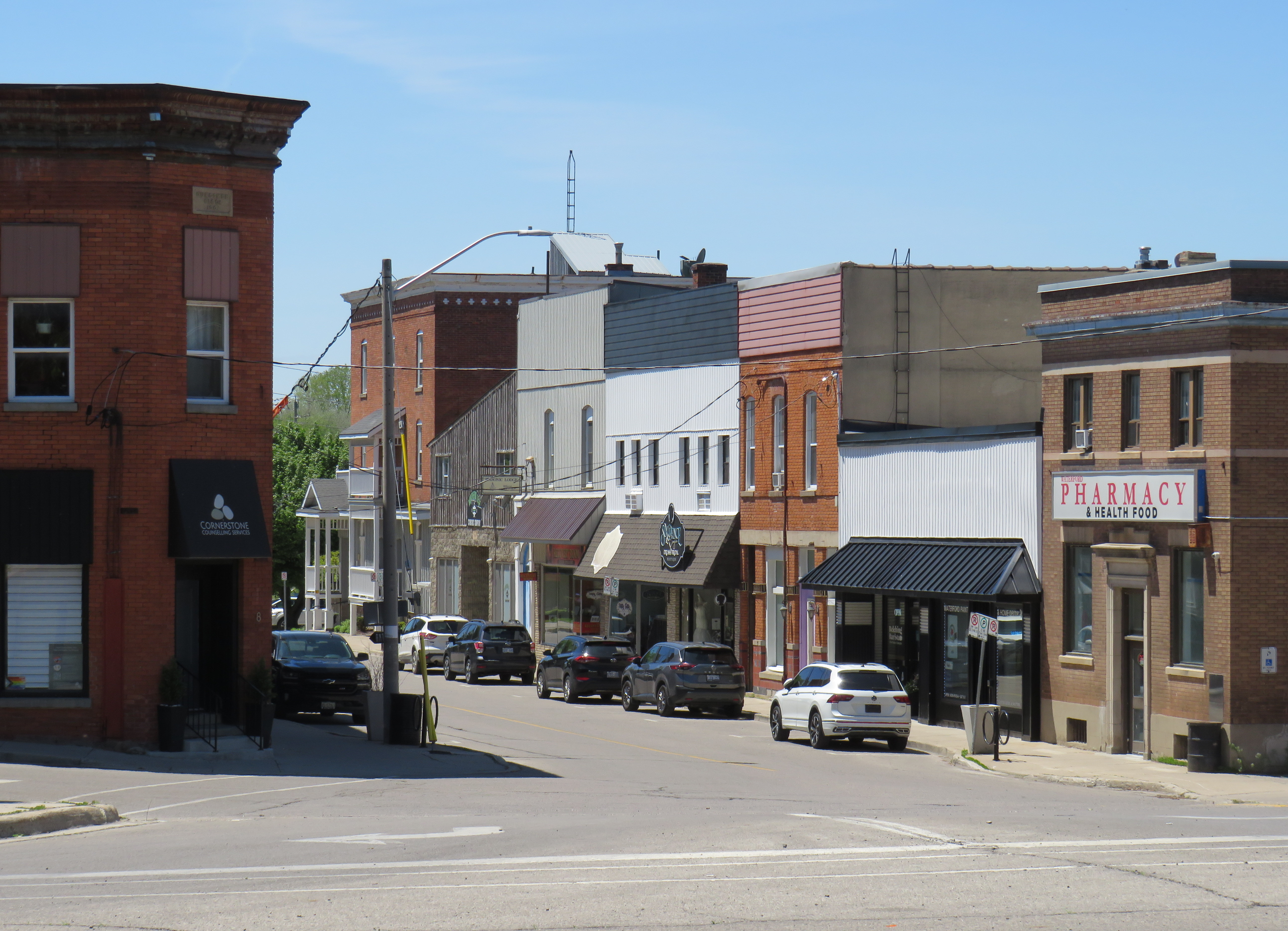
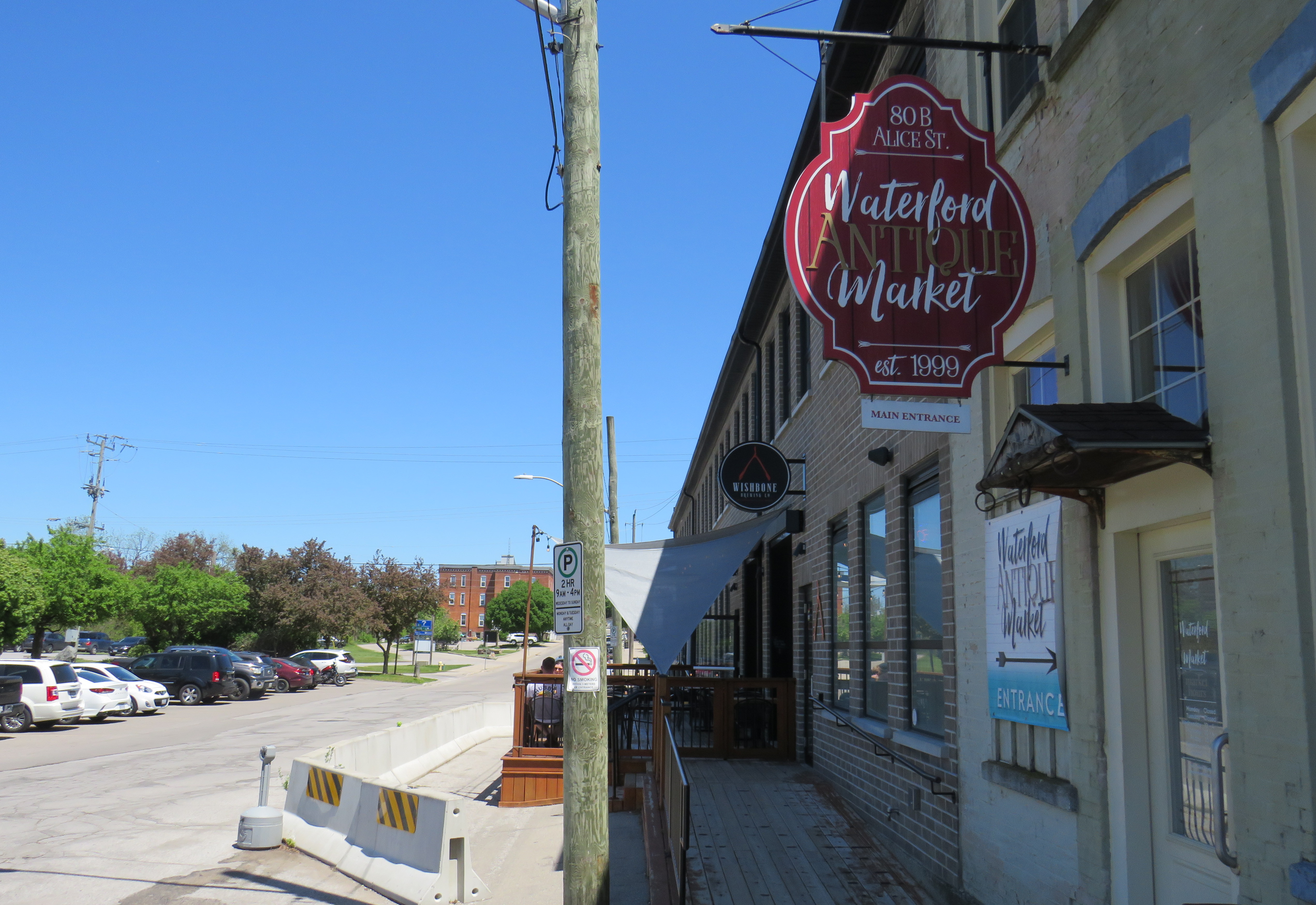
Within the little downtown, there are public washrooms for trail users as well as several restaurants, cafes, and a craft brewery located in a former textile plant. There are also several antique dealers, a public library, and other small shops.
Alice Street, Waterford’s main commercial strip, is lined with restaurants, shops, a cafe, and a breweryWaterford Antique Market and Wishbone Brewery, in a renovated textile plant
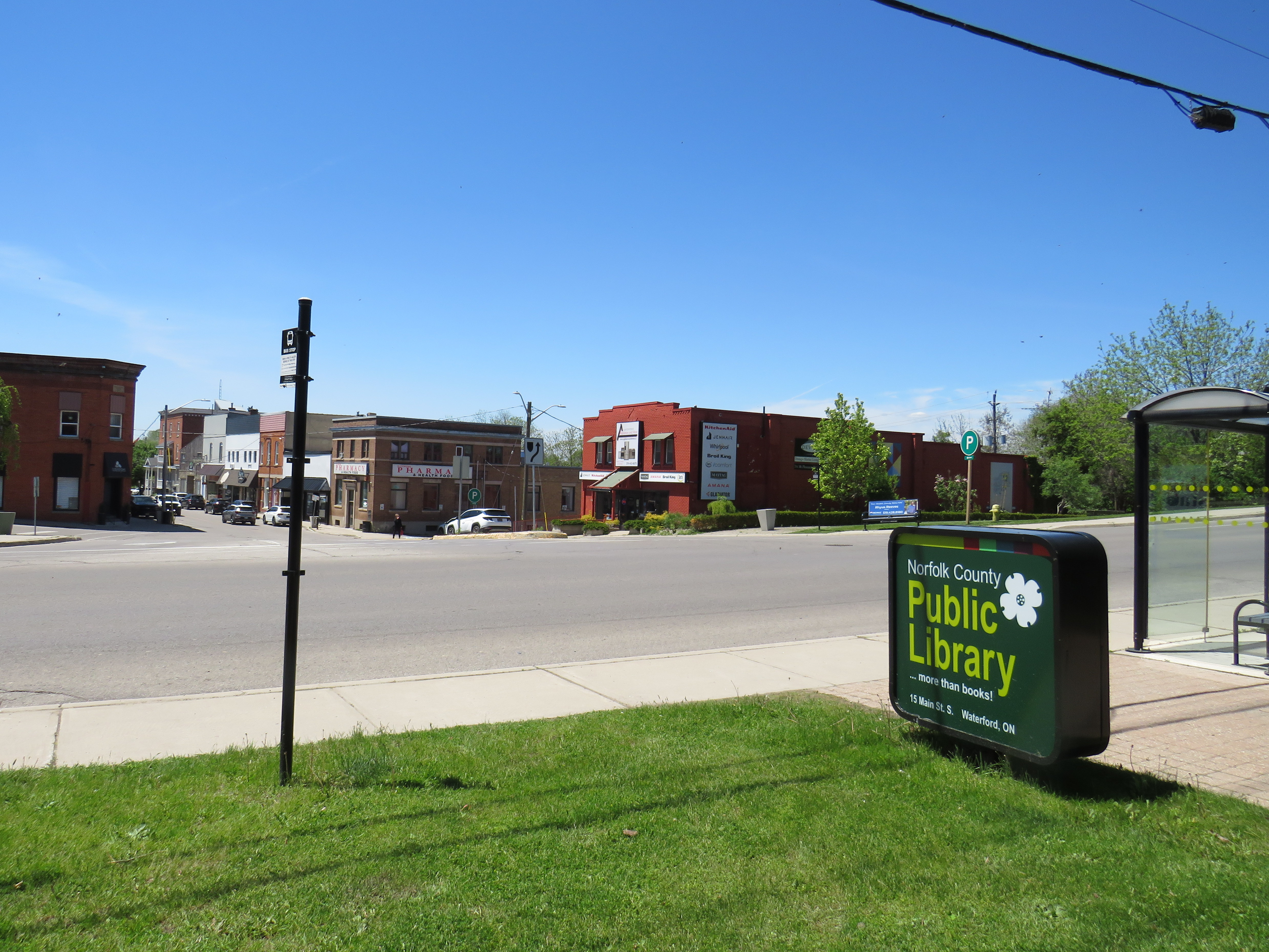
Despite all that Waterford has to offer, there is one thing that can be improved to make it safer to get around. Alice Street, the main commercial strip in Waterford, meets Old Highway 24 at an unsignalized crossing. Though busy Highway 24 now bypasses Waterford, the old highway is still busy, with drivers exceeding the 40 km/h posted speed limit. The Waterford library branch and northbound bus stop towards Brantford are on the opposite side of the wide T-intersection from the Alice Street businesses; it is surprising that there is no traffic signal here to control auto traffic and provide a safer pedestrian crossing.
The northbound bus stop (note the shelter at right) and library branch are on the opposite side of a busy road from the downtown shops
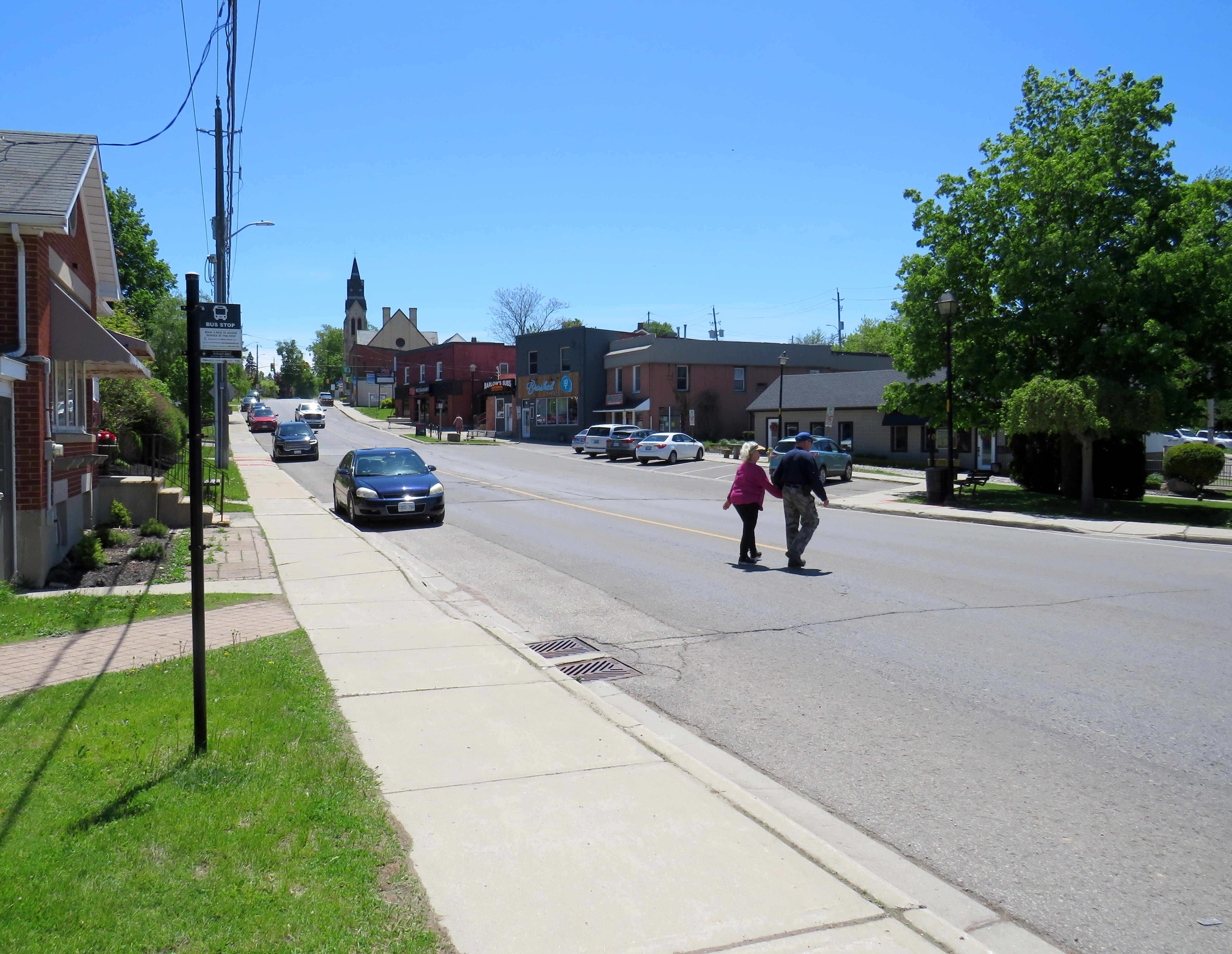
Though there is a traffic signal 200 metres to the south at Nichol Street, most pedestrians opt to cross at Alice Street instead. According to Google Streetview, there was a signed pedestrian crossing at Alice Street in 2009 but was removed by 2012.
Waterford is under a two hours’ drive from Downtown Toronto, though it is accessible without a car. GO Transit and VIA Rail both serve Downtown Brantford, where on weekdays, one can take a Ride Norfolk minibus south to Waterford. Cyclists from Hamilton or Toronto can take GO Transit buses to Brantford and bike south down the TH&B Rail Trail to Waterford on a relaxed 90-minute ride. From Simcoe, it’s an easy 45-minute ride.
In general, Ontario can do so much better promoting sustainable tourism and travel by way of transit, walking, and cycling, as there are many places like Waterford that are easy to get to and around without a car that are not especially well-known, and there are many opportunities to improve public and active transportation links to other communities throughout the province. Though some communities, like Brantford, Hamilton, and Peterborough are very well connected to multiple trail systems radiating outwards in multiple directions, other cities and towns are not so lucky.
Though St. Marys and St. Thomas, for instance, also have made great use of former rail infrastructure, they are lacking safe, high-quality active transportation connections to nearby cities like London or Stratford. Lindsay, in Kawartha Lakes, is at the nexus of several trails as well, but it lacks any intercity bus connections of its own. A provincial strategy could go a long way.
In the fifth year that I have been following and mapping Canada’s intercity transportation links, the network (if you could call it that) remains in flux. Spring 2026 brings several new routes, particularly in Western Canada, that restore some former Greyhound services. Unfortunately, regional and commuter services in Ontario and Alberta are coming to an end. Wednesday, April 30 was the last day for the LTW Route 42 between Leamington and Windsor. In Alberta’s On-It is winding down its commuter buses between Calgary and Cochrane and Okatoks.
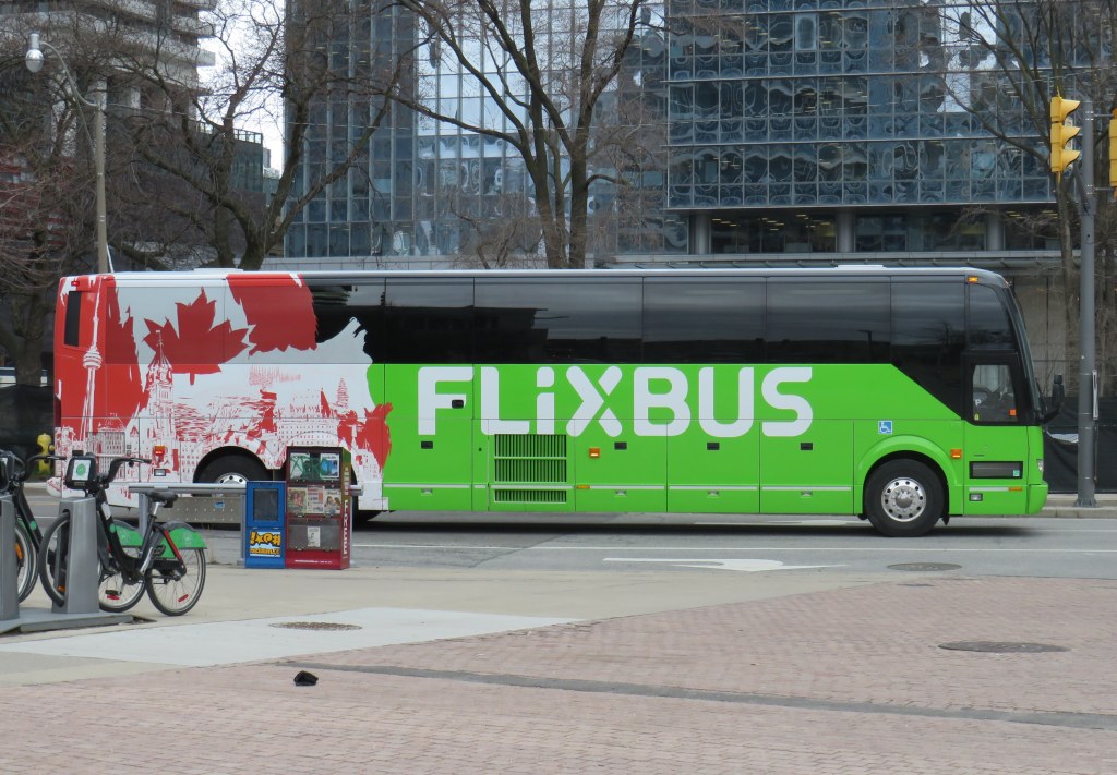
However, Flixbus continues to expand, taking over more former Greyhound routes. Unlike Greyhound or most other intercity transport companies, Flixbus is not a bus company per se, as it does not own or operate the services; instead it uses smaller contracted operators while coordinating branding, schedules, and ticketing. But starting in May, it will operate three-four days a week between Calgary, Regina, and Winnipeg, with stops in cities that have long been without service, such as Moose Jaw and Swift Current. Another route will connect Calgary with Drumheller, including a stop at the famous Royal Tyrrell Museum.
Despite the recent loss of TOK’s Southampton route and last year’s cutback of Grey County’s GTR services, there is hope for new connections in Midwestern Ontario. Grey County, together with neighbouring Bruce, Dufferin, and Wellington Counties, is studying a regional system to augment and replace the limited existing services. Hopefully, it will include regular service to fast-growing Saugeen Shores, which recently lost that TOK service. In Centre Wellington, a new local service connecting Elora and Fergus will soon start operations.
One of the major issues continually faces is the lack of intramodality and useful connections. A viable passenger rail system — be it a classic corridor service such as the Quebec-Windsor VIA train or a high-speed line such as the planned ALTO project — is much more useful to many more passengers when there are easy connections at stations. Through-ticketing and schedule coordination should be implemented whenever possible. Furthermore, though the Upper Ottawa Valley (towns and cites such as Renfrew and Pembroke) has a daily Ontario Northland bus, it arrives in Ottawa late in the evening and leaves early in the morning, limiting its usefulness to areas closer to Ottawa that could benefit from a commuter connection or onward trips to Montreal, Toronto, or Kingston. Despite more gaps seemingly filled, other gaps remain.