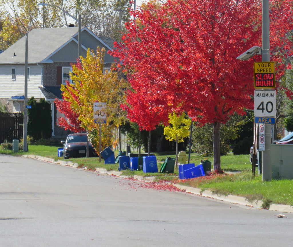
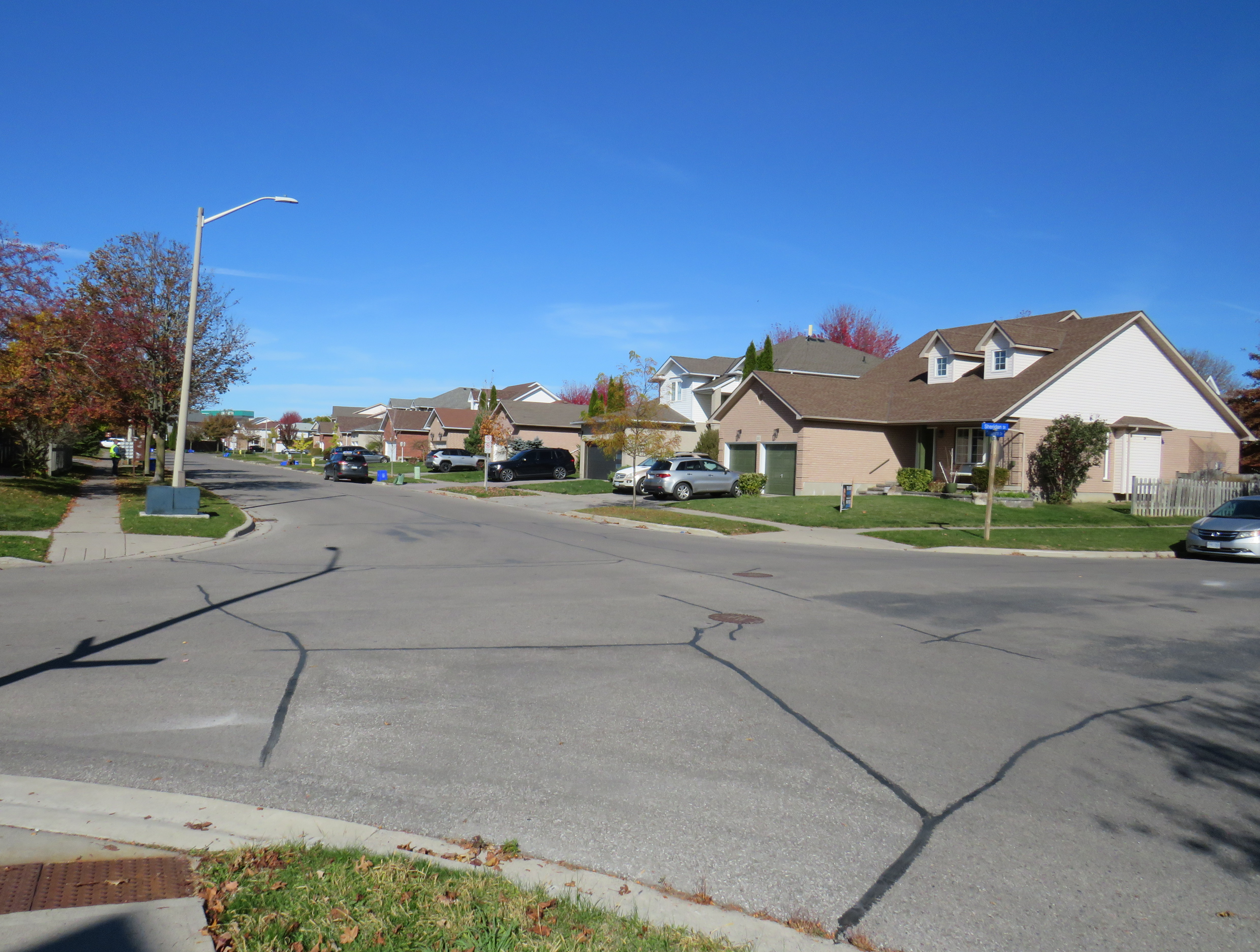
On Wednesday, October 21, around 9:20 AM, the driver of a Volvo crossover SUV was turning left from Niagara Drive to Sheridan Street in Oshawa. The driver, a 62-year-old woman, struck a daycare worker and five young children who were crossing Sheridan Street at the intersection. A two-year-old was rushed to Sick Kids hospital in life-threatening condition while the adult and another child were sent to a local hospital with serious injuries.
This collision occurred in a residential neighbourhood in suburban North Oshawa, near the Durham College/Ontario Tech University campus, the sort of neighbourhood families move into because of amenities like parks and playgrounds, large single-family houses, and perceived safety. There is absolutely no excuse for a tragedy such as this one, though the Durham Regional Police press release points out that Niagara Drive, a residential side street, “has no traffic control.” However, the pedestrians had the right-of-way, crossing from north to south in an unmarked crosswalk, with traffic on Sheridan and Ryerson facing stop signs.
On Tuesday October 27, I paid a visit to Niagara Drive to see the area for myself.
Niagara Drive is a winding, crescent-shaped street off of Simcoe Street, Oshawa’s main north-south road. All traffic entering or exiting the neighbourhood must exit at one of the two intersections of Niagara and Simcoe, so Niagara is not used as a through route. Sheridan Street is a shorter roadway that meets Niagara Drive twice; opposite Ryerson Crescent on the west side and opposite Canadore Crescent on the east side. (All the streets in the neighbourhood were named for Canadian colleges and universities, likely inspired by the nearby campus.) The collision occurred at the westerly intersection.
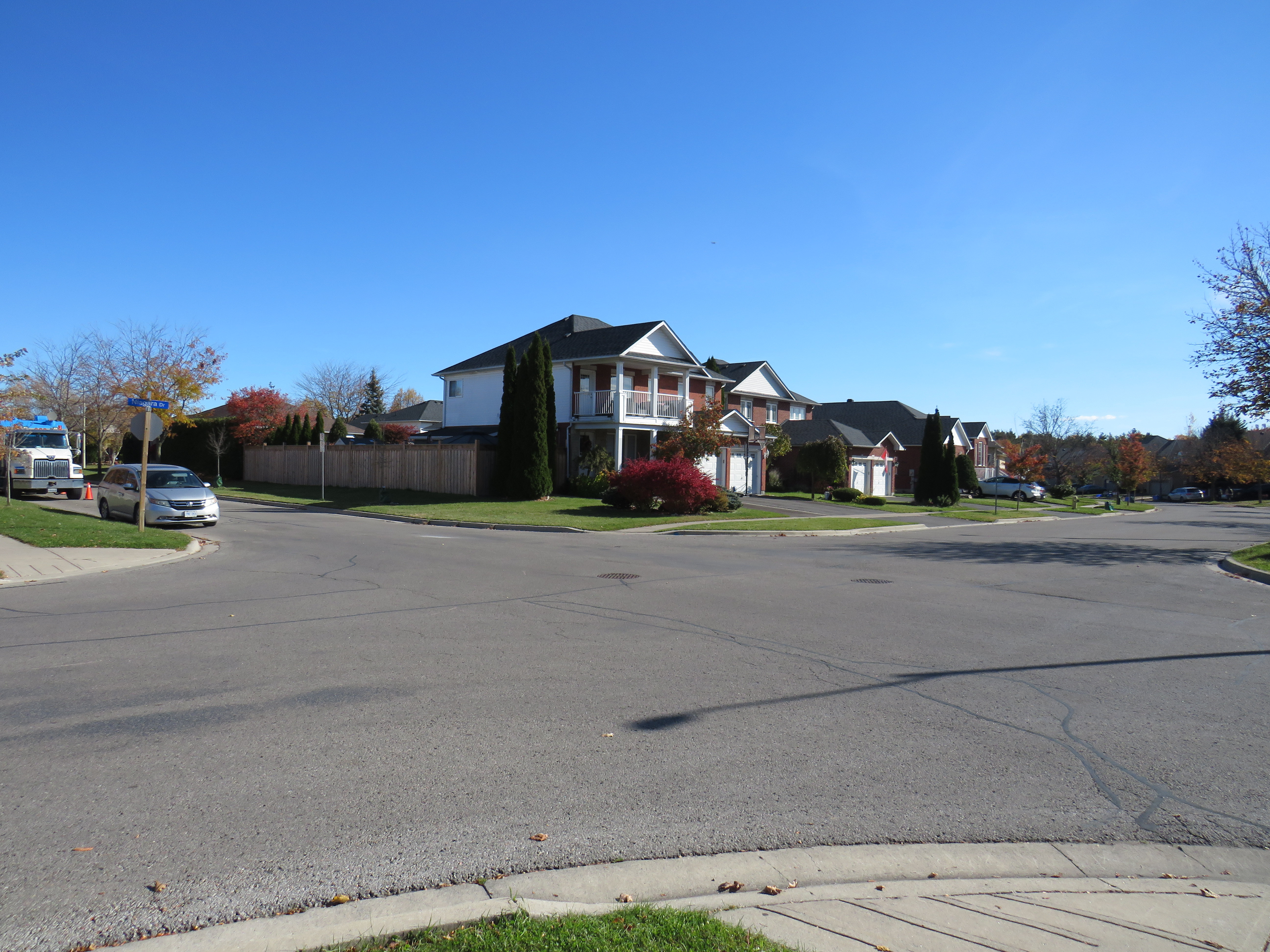
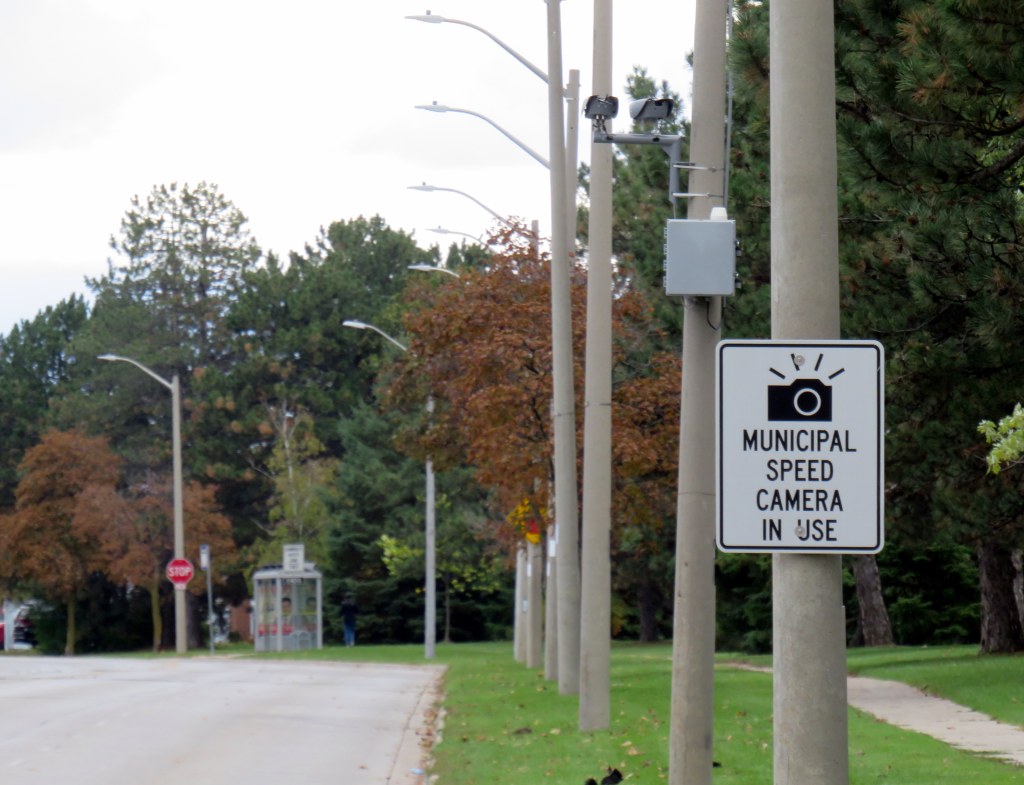
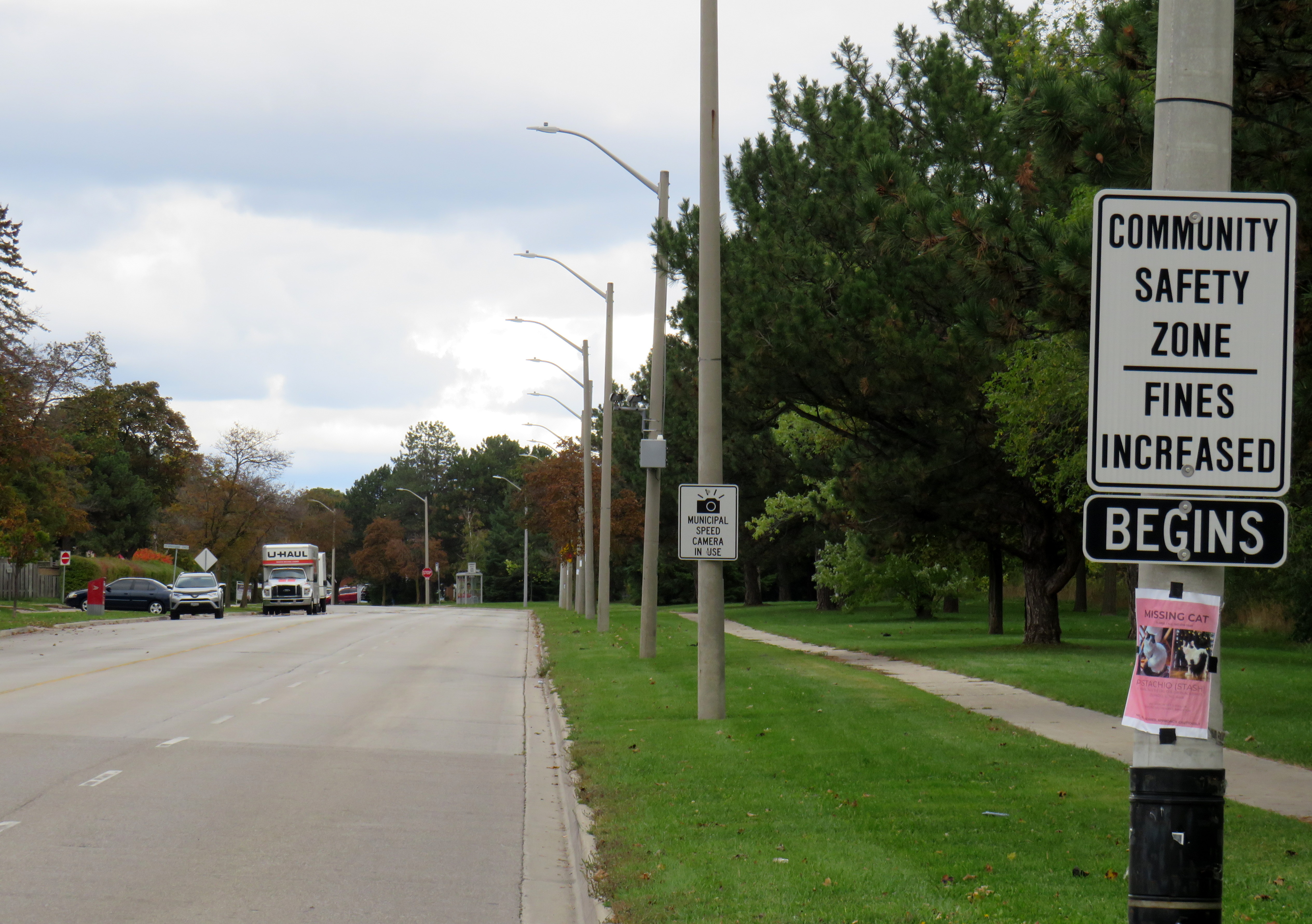
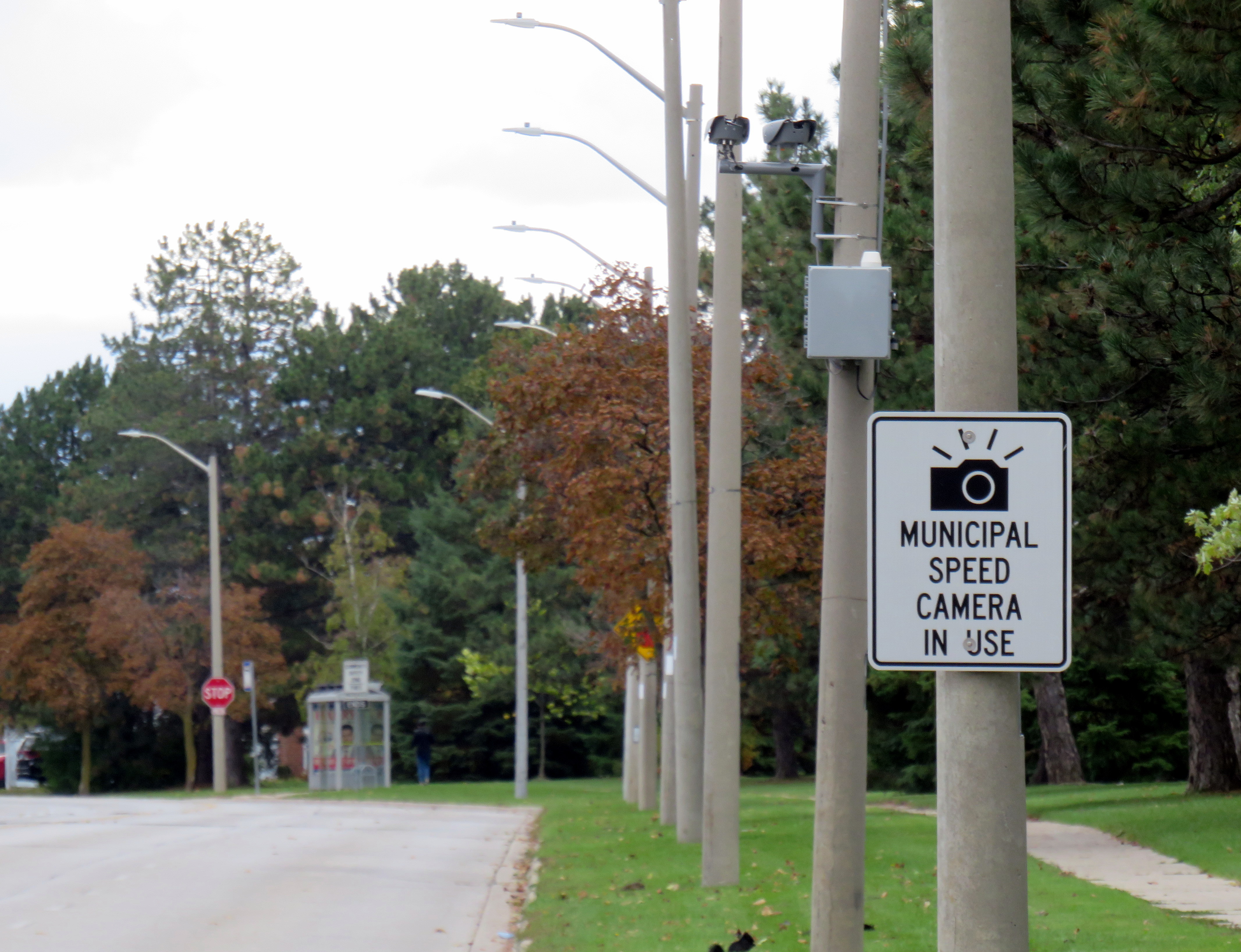
The entire neighbourhood is designated as a maximum 40 km/h zone, with regular signage along Niagara Street. However, apart from speed limit signs and one automated speed radar monitor, there has been no effort made to slow down drivers along Niagara Drive, even though there are multiple parks and trails in the area.
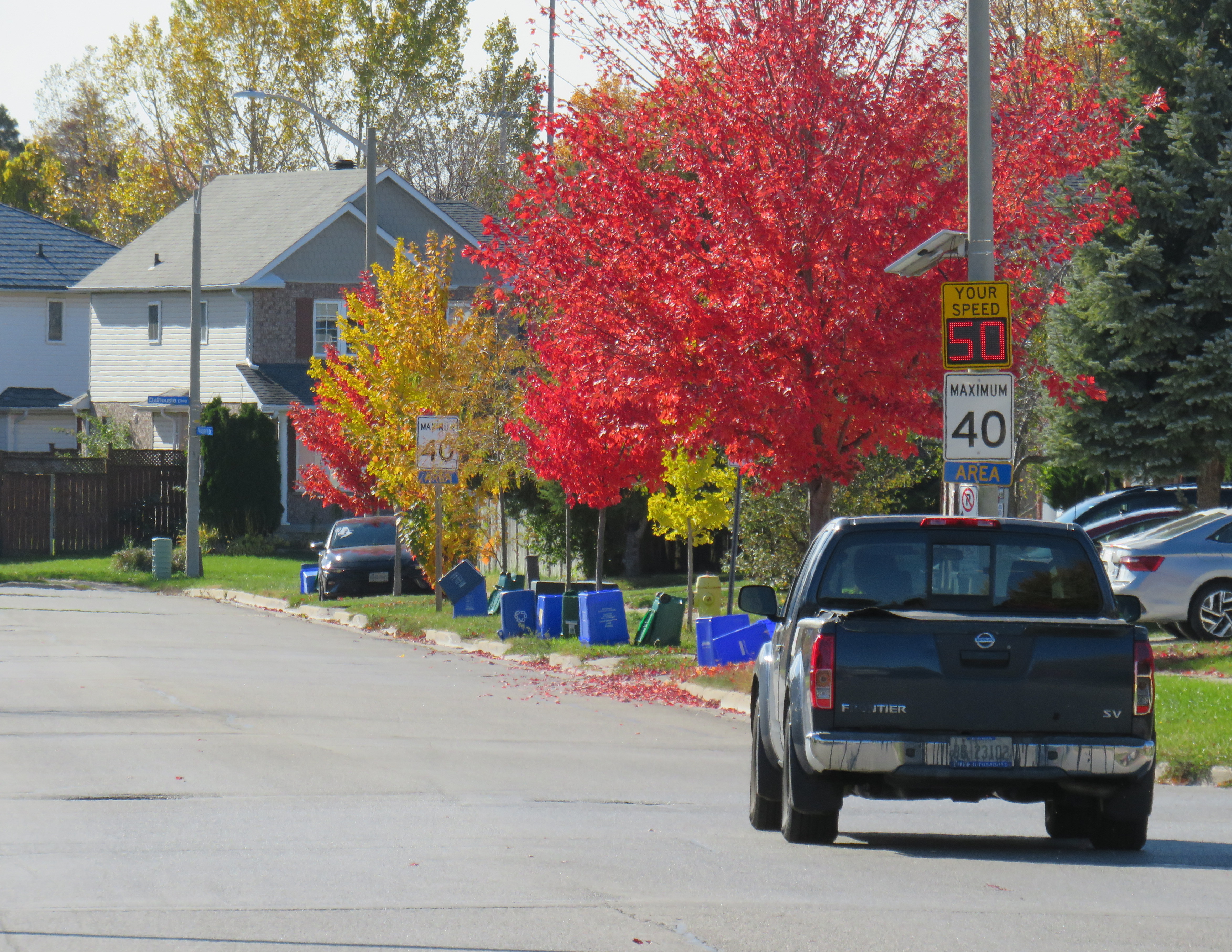
Not one intersection on Niagara Drive is controlled by all-way stop signs, nor are there any other speed control measures, such as speed bumps/speed humps, medians, or curb bump-outs. There is no designated crosswalk for pedestrians to access Niagara Park, which features a playground, shade structure, and a soccer field. Even though parking is restricted (because of the nearby university/college campus), the roadway is wide with no lane markings. Everything about the road design encourages driving well beyond the 40 km/h limit with no need to slow down or stop at any point.
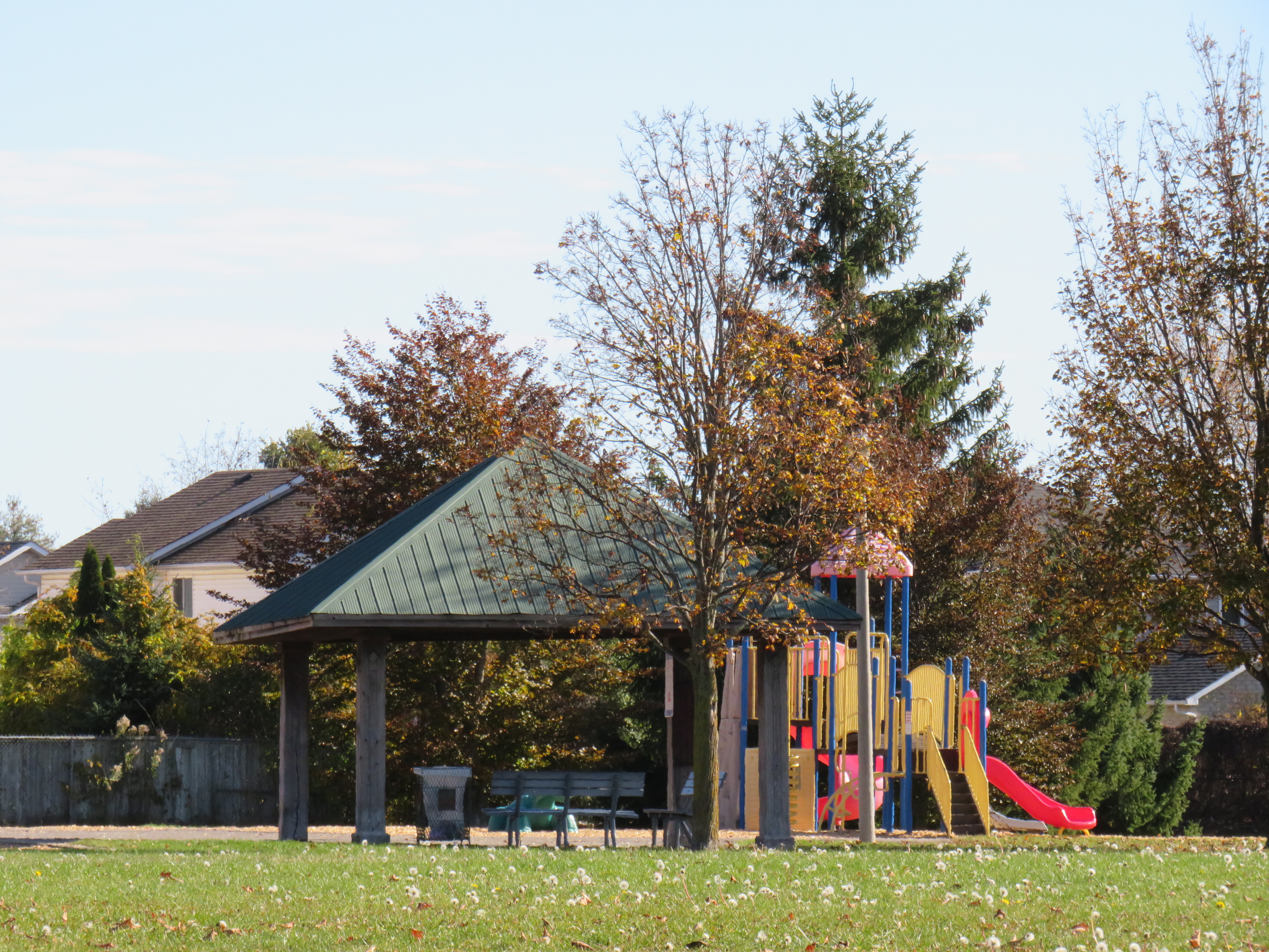
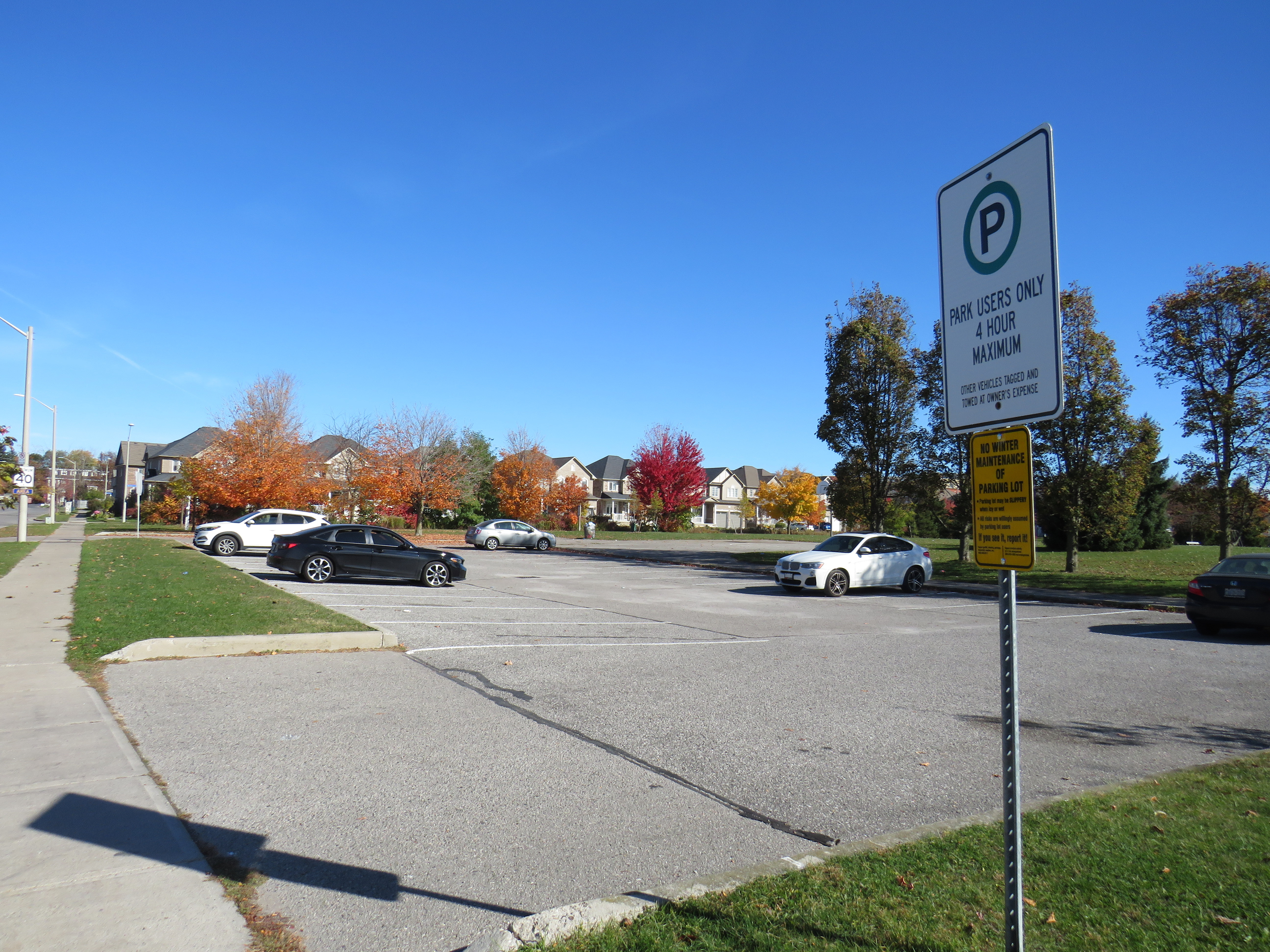
Even the park in the middle of the neighbourhood is designed for drivers. Though there’s no crosswalk for nearby residents to access the playground, there is a parking lot, an unusual feature for a local park.
Though the driver should have seen the children crossing at the intersection, there was no thought by traffic engineers whatsoever to the safety of vulnerable road users on Niagara Drive. Sadly, this is just too typical of North American suburbs, where the streets, parks, and neighbourhoods were designed almost exclusively around the private automobile. In some municipalities, retrofits such as speed humps and all-way stops were later added, but this area is devoid of even those low-cost interventions.
This collision was no accident. The driver failed to yield to pedestrians crossing an intersection with the right of way, and did not see the adult and several young children. The road was designed for fast speeds, despite serving a quiet residential area. Finally, not even the most basic safety interventions were made to prevent tragedies such as this.
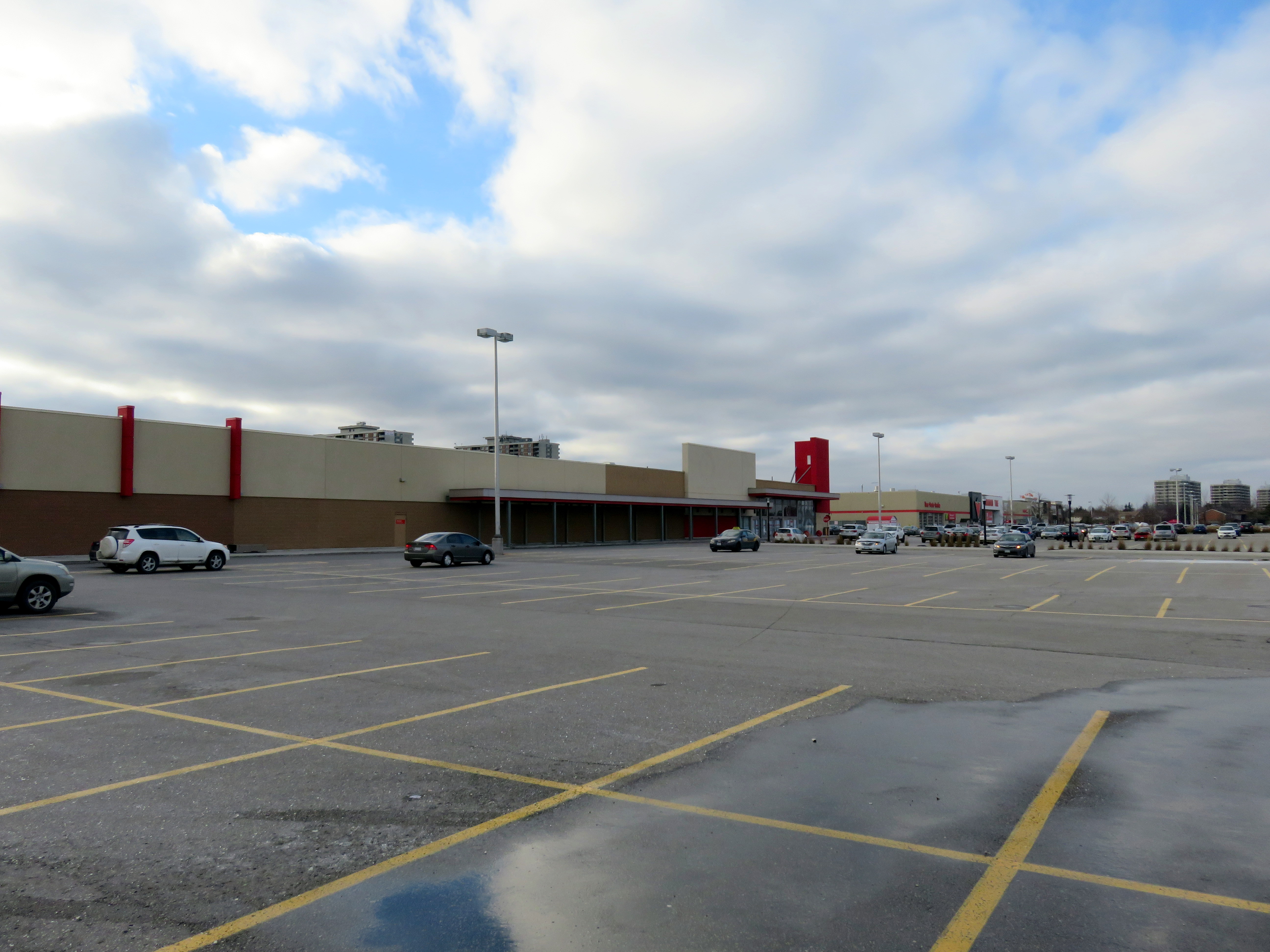 Shoppers World Brampton, 2016, before the Target store was replaced by smaller stores, including Giant Tiger
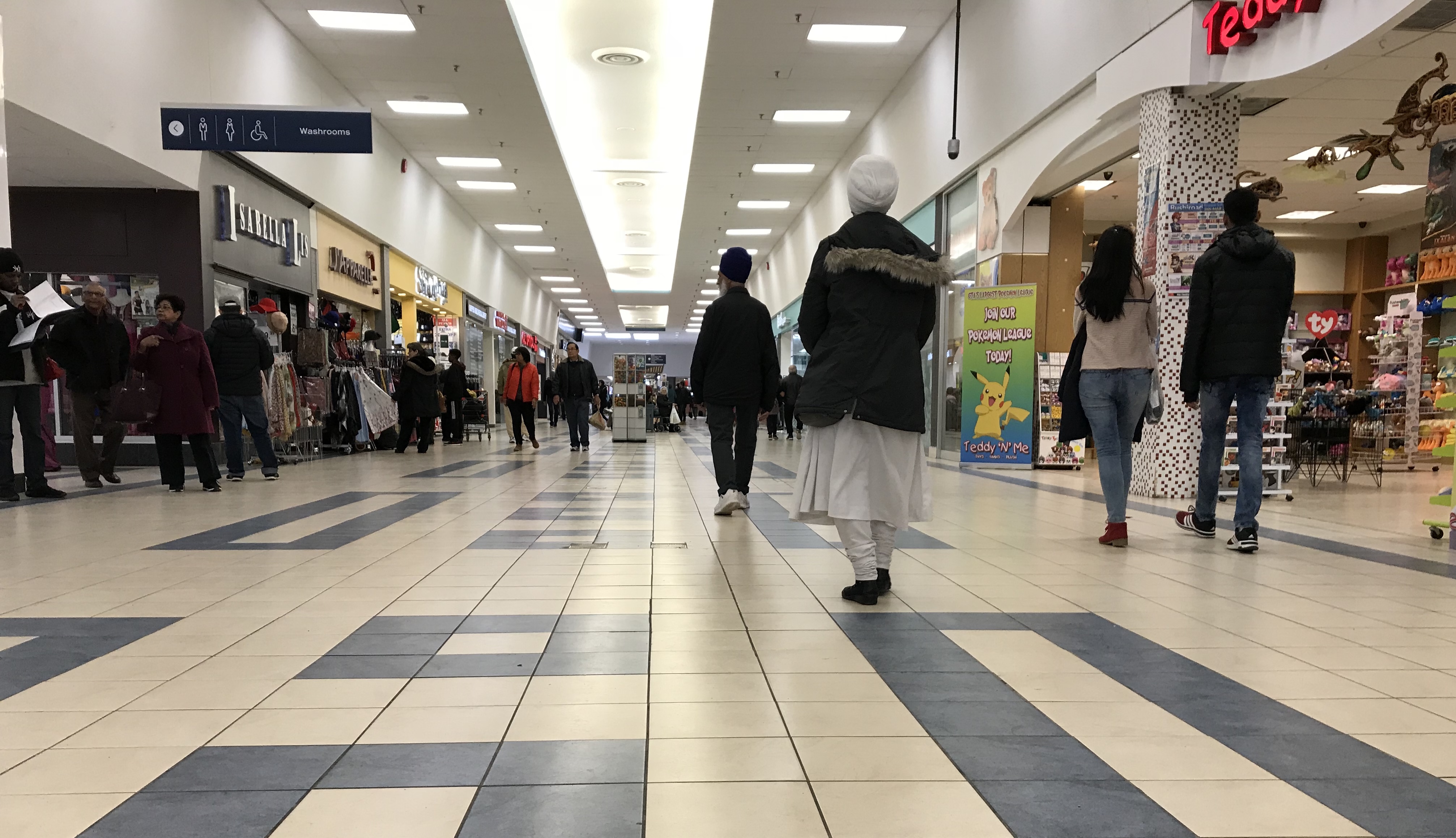 Shoppers World, 2018. Despite many store vacancies, it’s still a community hub.
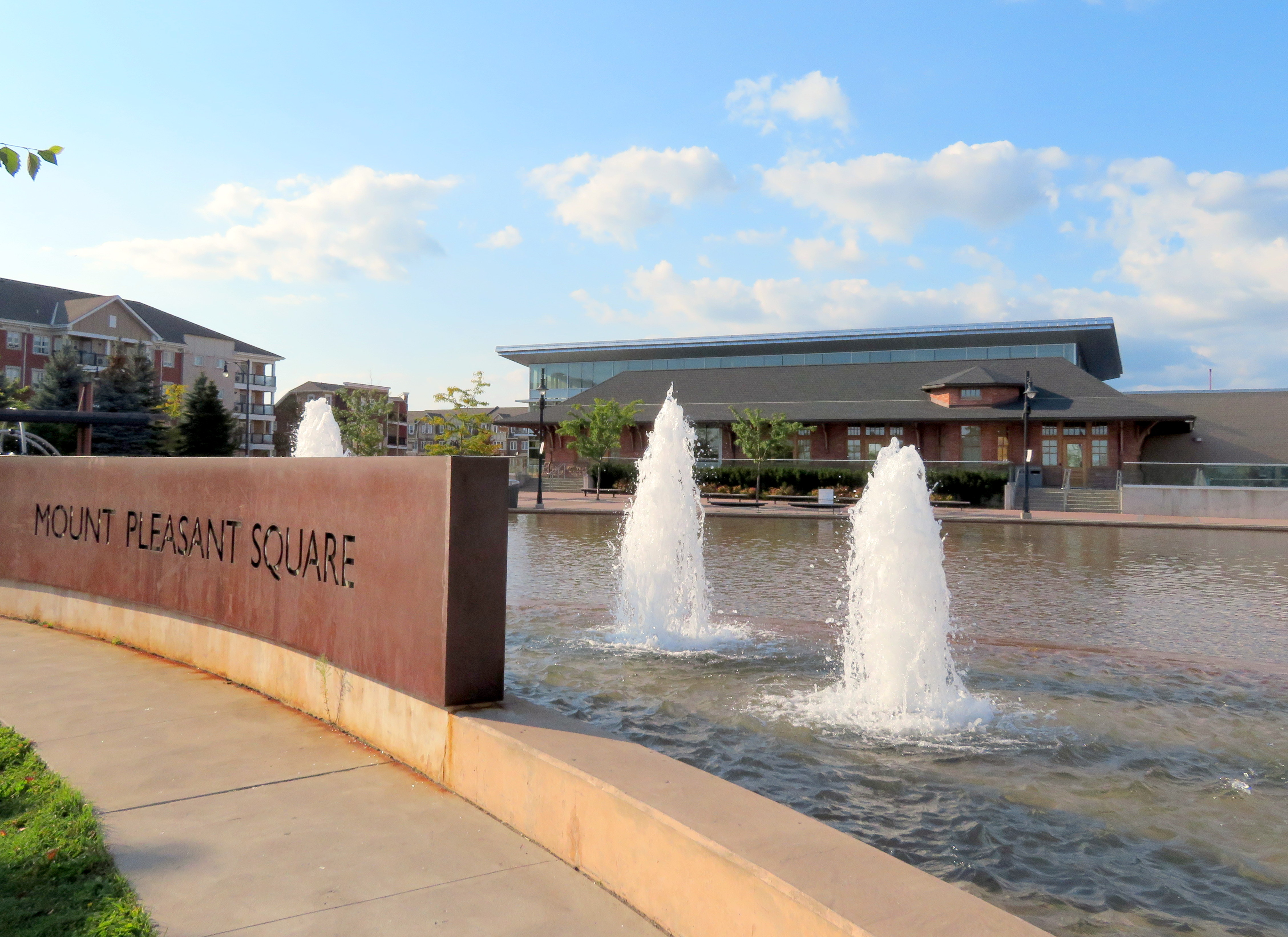 Mount Pleasant Square, Brampton
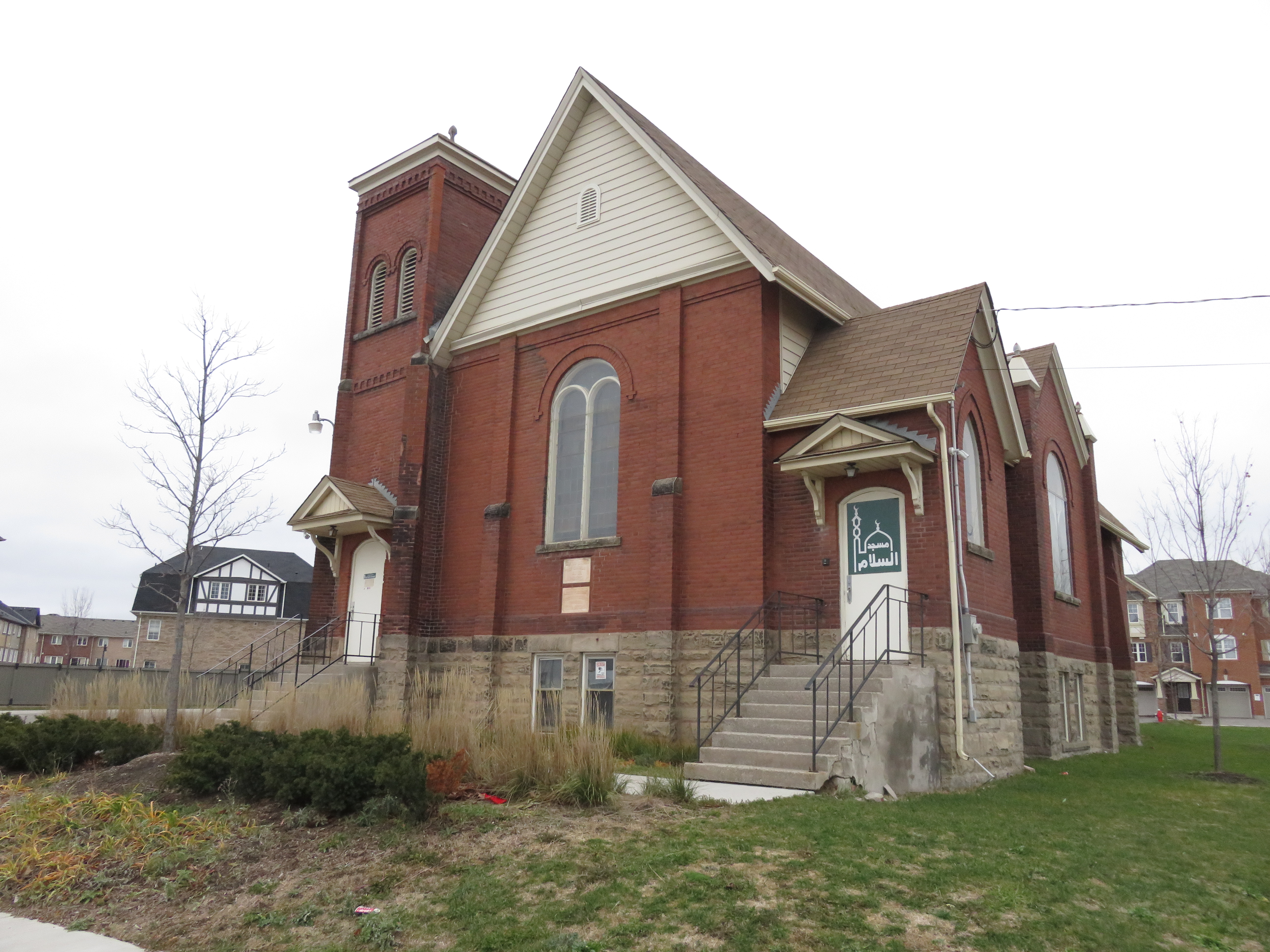 Mount Pleasant’s old Presbyterian church is now a mosque.
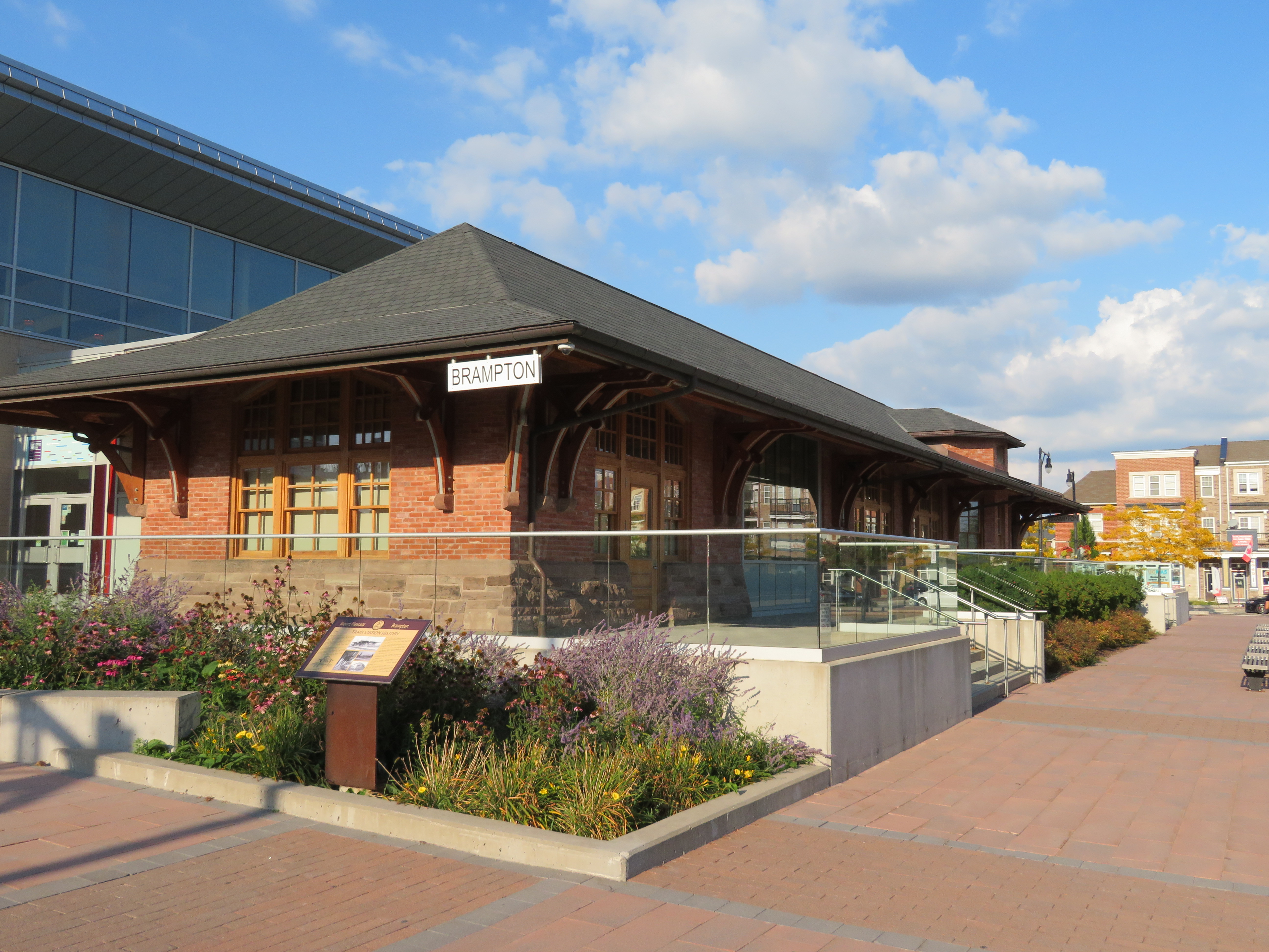 The Brampton Public Library incorporates the former Brampton CPR Station, rebuilt here at Mount Pleasant Village

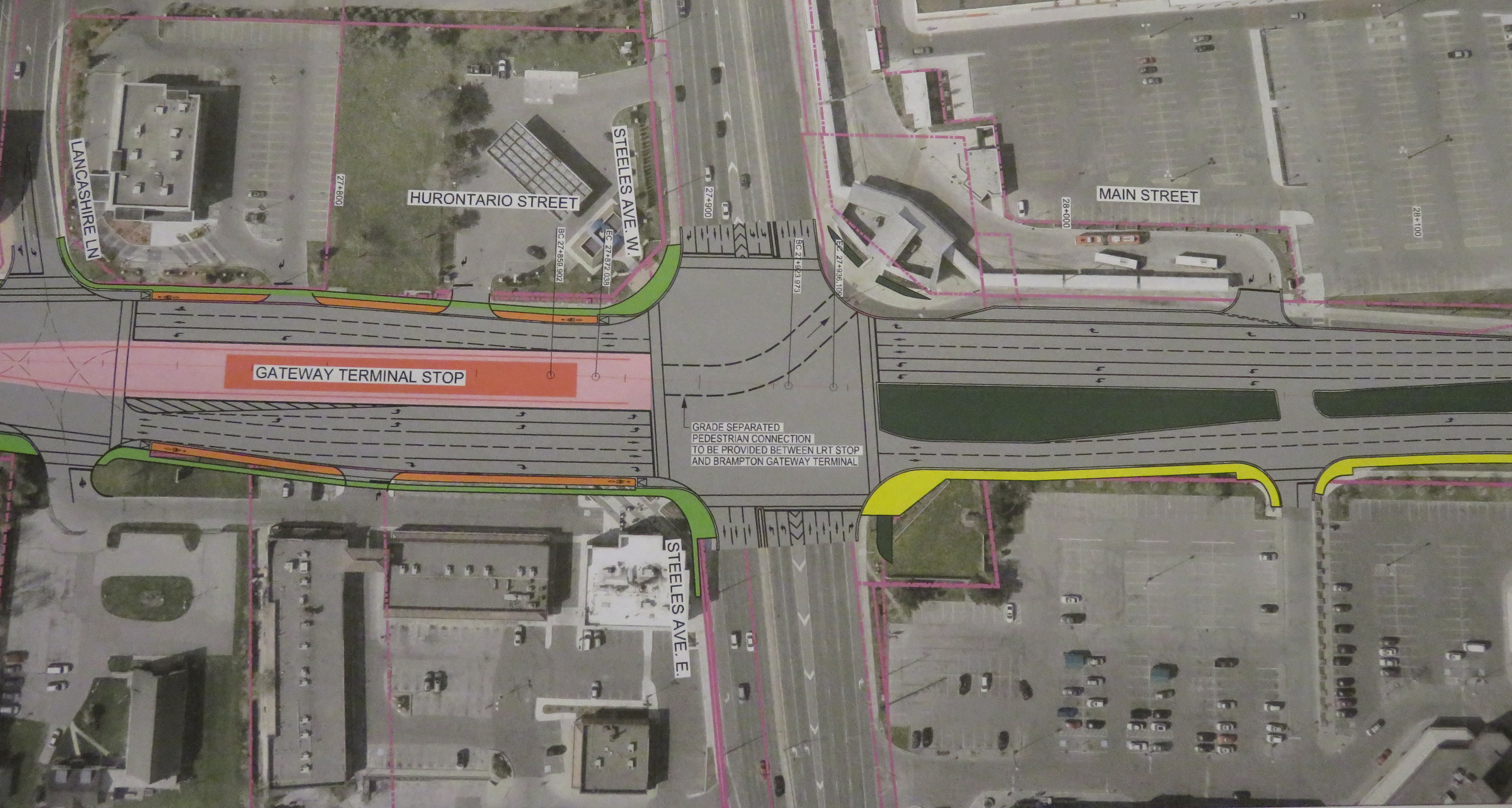
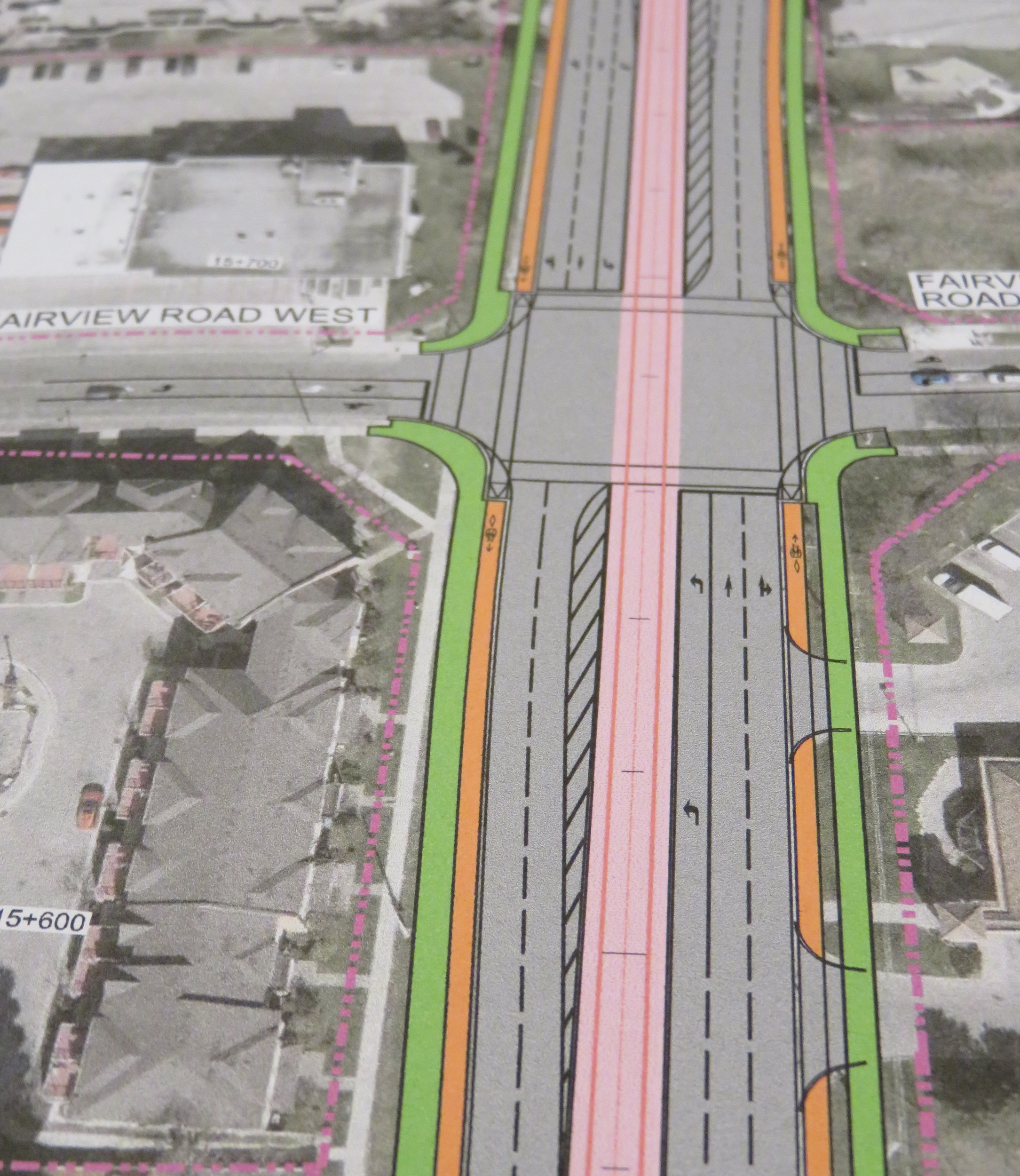 Typical cross-section once the LRT is built. The orange paths are the separated bike lanes, the green paths are sidewalks. Hurontario Street will only have two traffic lanes in each direction.
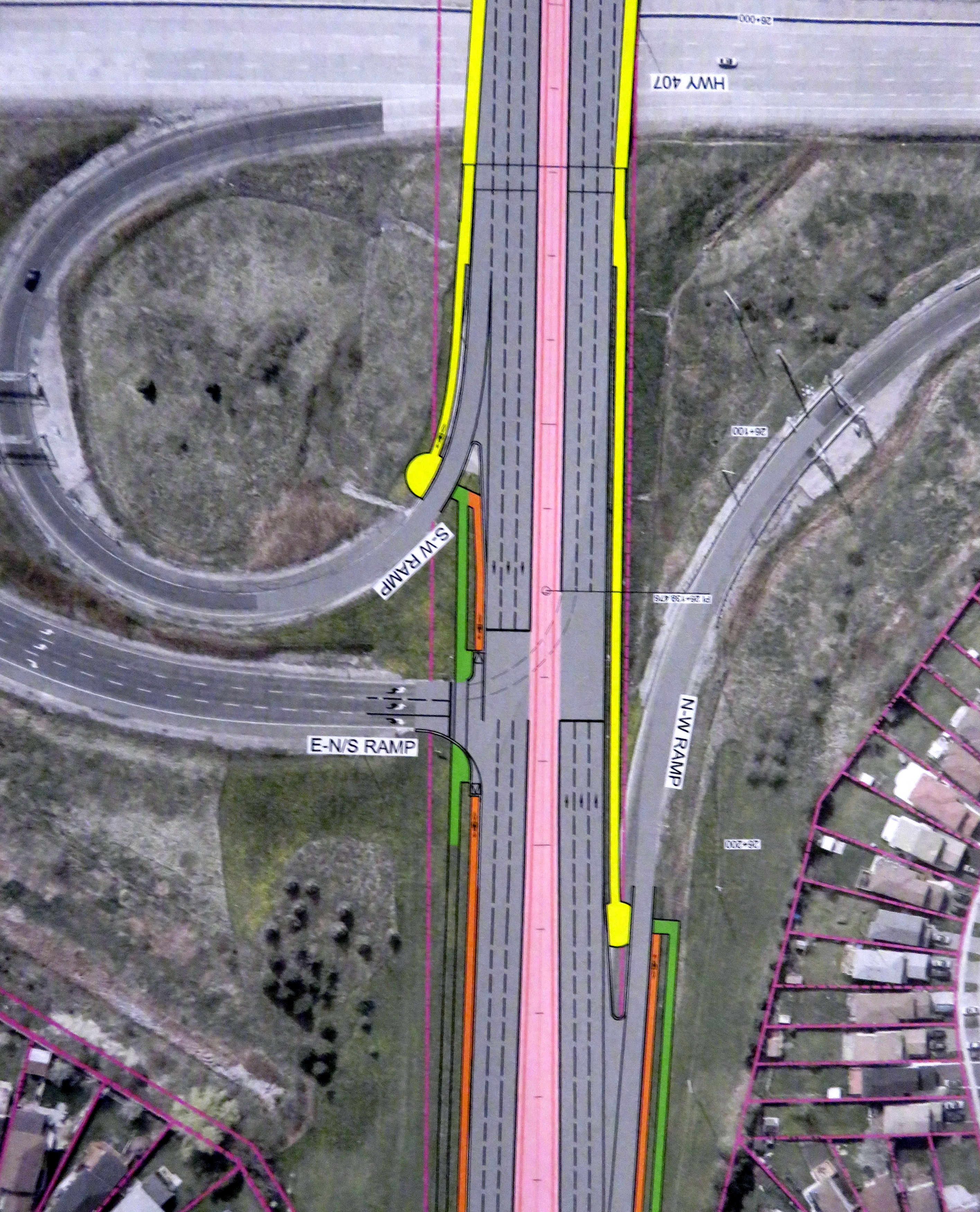 At expressways, like at Highway 407, pedestrians and cyclists still must yield to motor traffic at on-ramps.
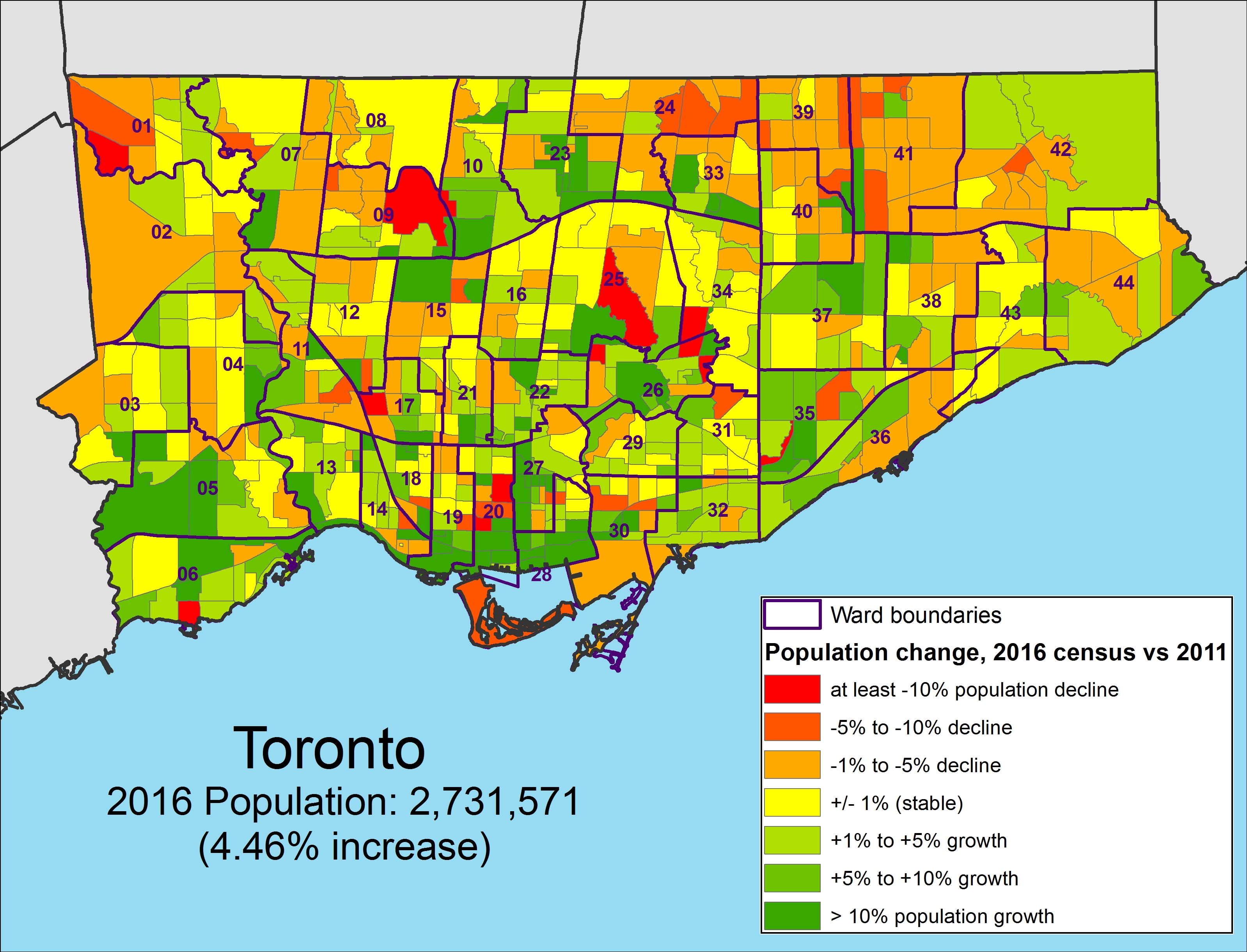
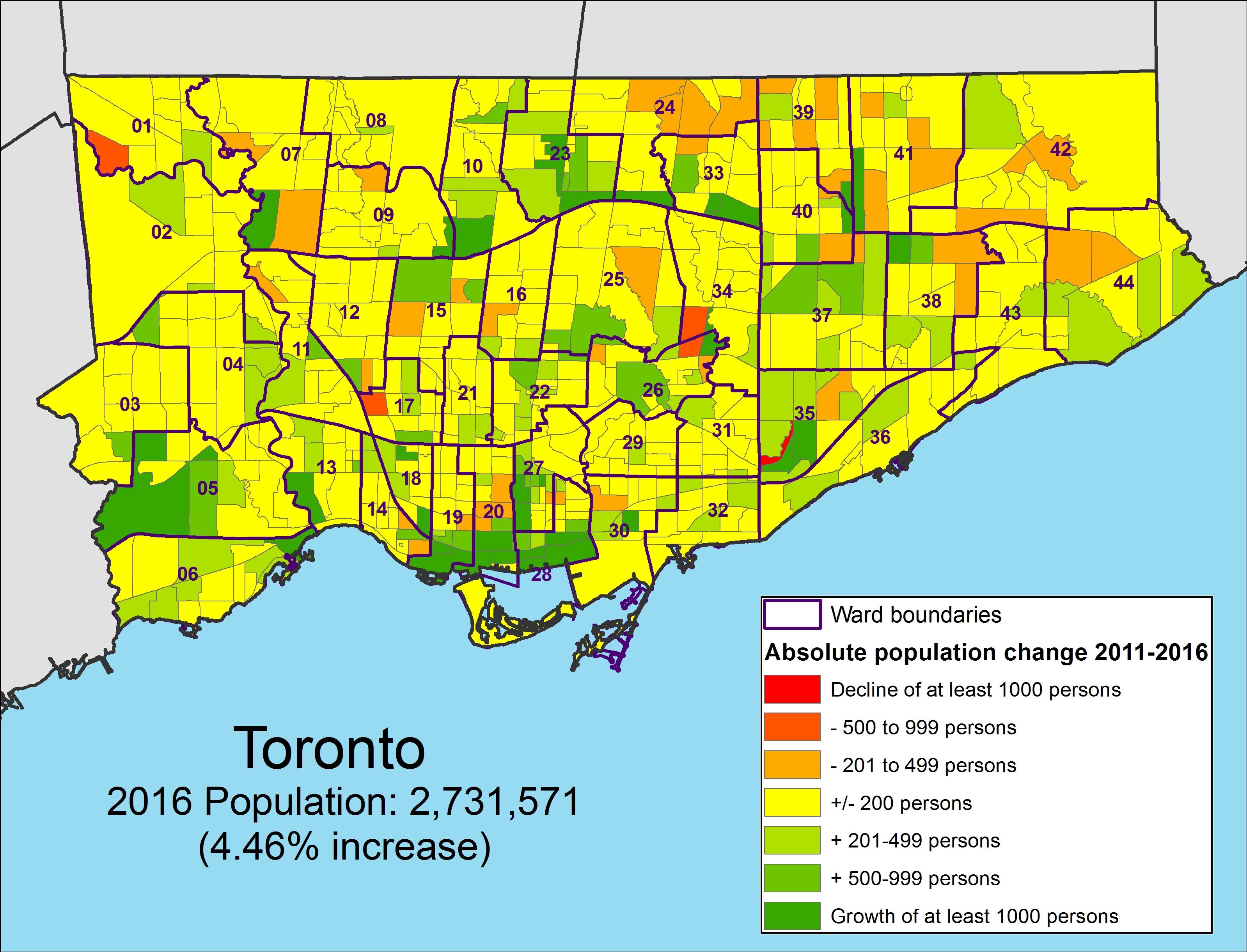 Population change between 2011 and 2016 by absolute numbers by census tract, Toronto
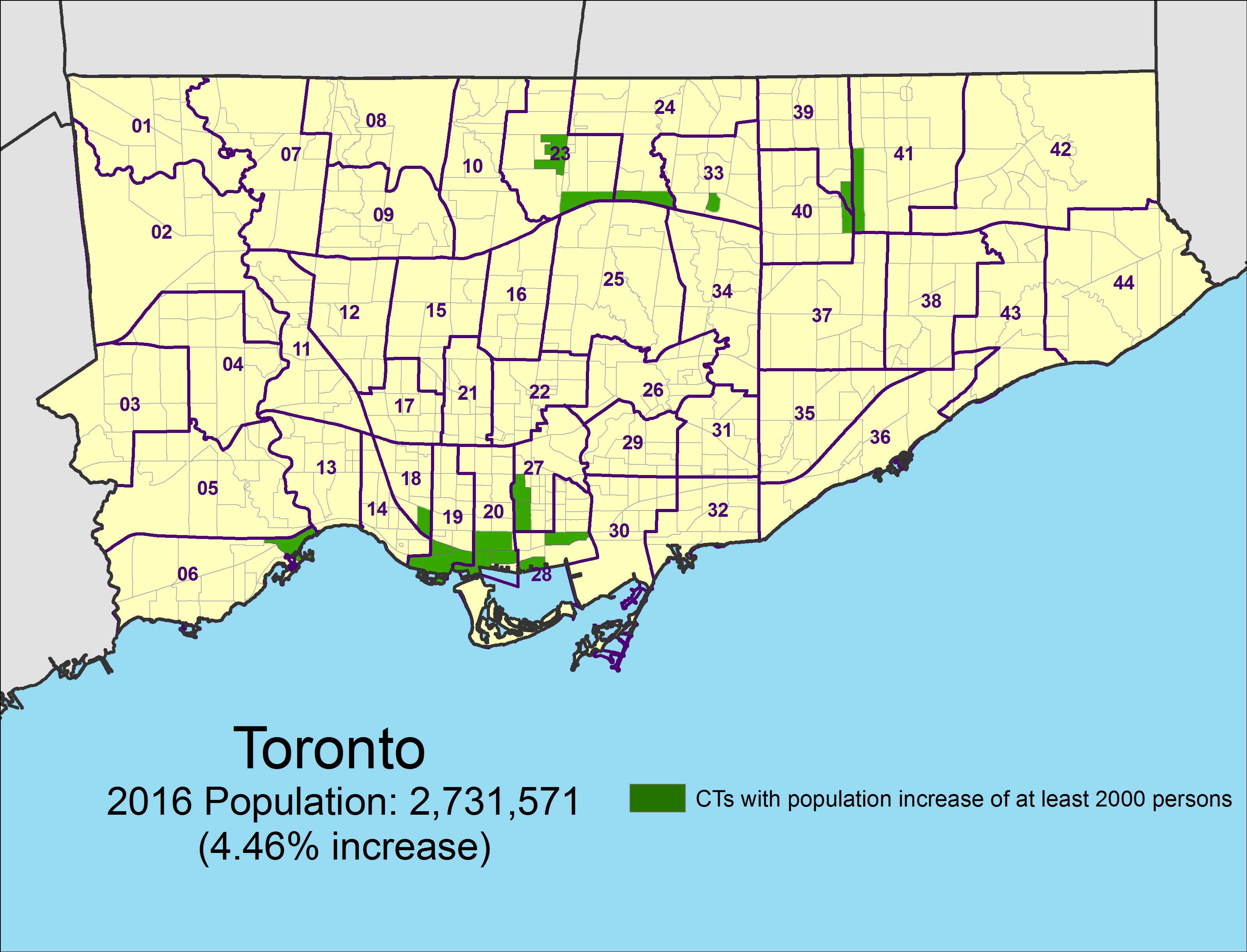 Census tracts that grew by at least 2,000 persons between 2011 and 2016
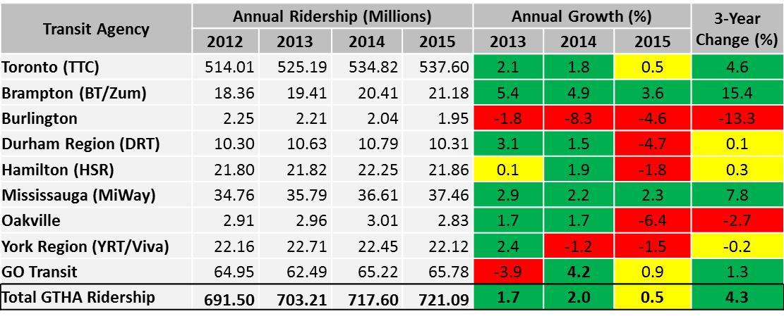
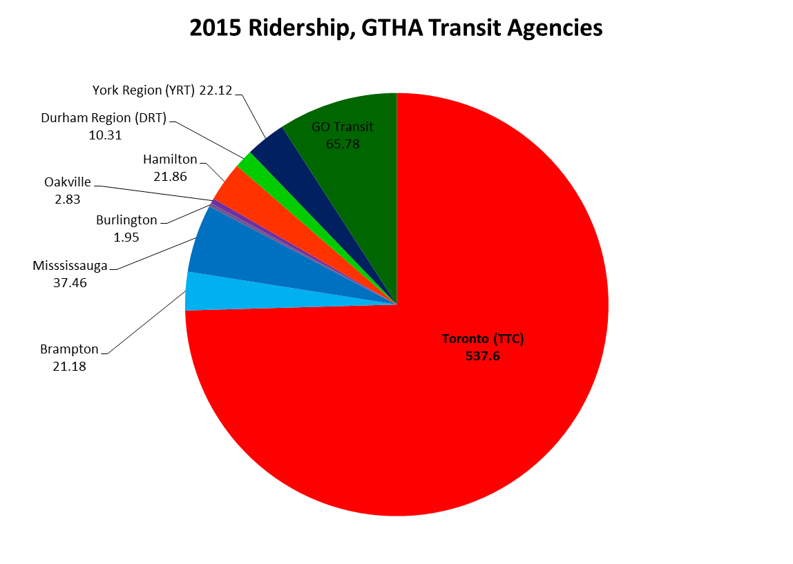
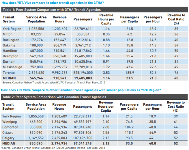 Comparing York Region Transit to other Canadian transit systems, 2013.

