Tag: Eglinton Avenue

  • Line 5 is alive

    Line 5 is alive

    Caledonia LRT Station

    On Sunday, February 8 the Eglinton-Crosstown LRT opened to the public without any pomp or circumstance. Perhaps embarrassed by the public’s reaction to Line 6 Finch West, there were no giveaways, no parties, and no promotional materials. That turned out to be a shame, in a way, because Line 5 seems to be alright so far, a week after its initial opening. Travel times on the LRT are improved over the previous 32 and 34 bus routes, though with lesser speed improvements on the surface section versus the western portion. The two-car Bombardier Flexity trains do not crawl through intersections on Eglinton Avenue East unlike the single-car Alstom Citadis Spirits on Finch Avenue West.

    Furthermore, learning some lessons from the botched Line 6 launch, the TTC — the operator of Line 5 trains — is looking for public feedback and promises improvements to speed and frequencies later in 2026. There are certainly ways in which this line can improve further. All that said, the Eglinton-Crosstown LRT offers needed optimism for Toronto’s transit future, especially as more projects are underway.

    Mostly smooth operation of Line 5 during the first week
    (more…)
  • Line 5: a quiet opening for a troubled project

    Line 5: a quiet opening for a troubled project

    A westbound LRV train on Eglinton Avenue in Scarborough, January 2026

    After fifteen long years, the wait is over. On Sunday, February 8, the Eglinton-Crosstown LRT will finally open to the public, with the first train leaving Kennedy Station at 7:00 AM. (The first eastbound train will depart Mount Dennis at 7:07 AM.) Rides will be free on that first day, but there will be no opening celebration, no ribbon cutting, and no giveaways. At first, trains will run until 11 PM, with Line 5 shuttle buses from 10 PM until 1AM, when the 334 night bus takes over.

    After the botched opening of Line 6 Finch West, it is clear that no one in charge wants to celebrate the opening of this new transit line after years of construction delays and false hope of completion in 2020, 2021, 2022, 2023, 2024 and 2025. So if you want to check out Toronto’s new ride, go do it at your own convenience. You won’t miss anything.

    There will be no party, like the one arranged last December at Finch West

    But even if the trains run slower than originally planned at first, there should be a ramping up of speeds and transit priority in the surface-running eastern section. The tunneled section will have speeds up to 60 km/h between stations, making it considerably faster than the buses it will replace. During a visit to Scarborough last month, it already seemed that trains were running a bit faster in the outdoor section than on Finch West, so there’s definitely some reason to welcome the LRT in its initial “soft opening” phase.

    The TTC notes that once full service is operational later in 2026, the end‑to‑end travel times will be “approximately 50–55 minutes.” That’s about twice as fast as the bus when going all the way from Mount Dennis to Kennedy. Perhaps, once the trains are running on a full schedule until 1AM and with expected performance improvements, there will be a formal ceremony to conclude this long journey.

    Notably on Sunday February 8, there will be significant changes to the bus network, including 2 discontinued routes, 13 route changes, and 4 new routes. Most notably, Routes 54 and 954 on Lawrence Avenue East will now terminate at Don Valley Station instead of at the subway at Eglinton Station. Route 35 Jane will no longer continue south of Weston Road, but will instead terminate at Mount Dennis (with new Route 27 Jane South taking over that southern section). The 47 Lansdowne will be split into two, with 18 Caledonia providing service north of Eglinton. Routes 51 Leslie and 56 Leaside will be merged (with a short 151 Leslie North bus on the north end), and the 32C branch will be replaced with the new 158 Trethewey bus. The map below shows how the TTC buses will connect with Line 5. (Route 901, between Mount Dennis Station and Pearson Airport via Dixon Road, has not yet been approved.)

    Map showing TTC bus route changes; several of these were already implemented in late 2025. Only the 901 express route to Pearson Airport has not been approved.

    I will certainly make time to check out Line 5 on Sunday, followed by a more fulsome review a week or two after opening to form an honest and thoughtful opinion.

  • Can the Eglinton LRT outrun the bus?

    Can the Eglinton LRT outrun the bus?

    Passengers boarding the 34 Eglinton East bus, January 28, 2026

    On Sunday, February 8, the long-awaited (and long-delayed) Line 5 Crosstown LRT will finally open to the public (or maybe not). The new line, 19 kilometres long with 25 stops, is nearly twice as long as the 11-kilometre Finch West LRT that opened in December.

    Unlike the troubled Finch West LRT, the Eglinton-Crosstown line is largely underground, with twelve stations, from Mount Dennis to Laird, completely separated from road traffic. A western extension through central Etobicoke to the Mississauga border at Renforth will also be completely grade-separated. There are several other major differences: the Crosstown line will be more frequent than Finch West, and will have more capacity, with two-car trains operating at all times. The equipment will be different too: Bombardier Flexity cars, the same as those used in Kitchener-Waterloo, will make the up the trains. Furthermore, the underground section will be computer controlled (which might turn out to be a complication, rather than an advantage).

    A light rail train passes traffic on Eglinton Avenue East in Scarborough

    However, some aspects will be the same. The surface-running eastern section between Leslie Street and Kennedy Road will feature 10 outdoor stops and 16 traffic signals, though the LRT will dip below ground at Don Mills Road (formerly Science Centre Station, now Don Valley Station) and under Kennedy Road into the Kennedy Station transit hub. As with Finch West, this was a Metrolinx-led project with a private consortium in charge of construction and maintenance, with the TTC in charge of train operations. So it will be interesting to see how Line 5 fares.

    With subway, light rail, buses, and GO trains, Kennedy Station is becoming a proper transit hub

    In the meantime, just as with my visits to Finch West, I decided to see how long it takes to get across the LRT corridor. In May 2024, I walked the entire route over three days, getting to know the corridor better (while documenting my stroll on a social media platform that I have since abandoned). With rumours of a mid-winter 2026 opening, I decided to ride the buses to get further context and time the rides.

    Congestion at Eglinton Avenue West and Oakwood Avenue, May 2024

    Tuesday, January 20 was an ideal day to ride the 32 Eglinton West and 34 Eglinton East buses. That was several days after the last snowfall (and a few days before the next big dump), and the roads and sidewalks were completely clear. It was a bright, sunny (albeit cold) day, and there was only one short construction zone on Eglinton Avenue, near Caledonia Road. Though only a small number of riders would use the entire Crosstown LRT line as part of a regular commute, it was worth getting a sense of how long the trip would take between each station.

    I started at Kennedy Station after taking a Stouffville Line GO train one stop from Union Station, rode the 34 Eglinton East bus all the way to Eglinton Station at Yonge Street, and then after a break (including a stop at Cinnabon), continued west to Mount Dennis Station, which is already open to GO and UP Express trains, as well as a few TTC routes. The last half of the ride coincided with high school dismissal times that resulted in some crowding, especially between Avenue Road and Dufferin Street.

    From Mount Dennis, I returned eastbound during a busy weekday afternoon rush hour, transferring to the first available 34 Eglinton East bus at Eglinton Station all the way back to Kennedy.

    Waiting for the 34 Eglinton East bus to Kennedy Station, January 20, 2026

    The table below shows the timings at each LRT stop.

    Westbound
    (read down)
    Stop/StationEastbound
    (read up)
    1:28 PM dep.Kennedy5:35 PM arr.
    1:32Ionview5:30
    1:34Birchmount5:28
    1:37Warden Ave.
    (Golden Mile)
    5:24
    1:39Hakimi Lebovic5:22
    1:42Pharmacy5:20
    1:43Victoria Park Ave.
    (O’Connor)
    5:18
    1:46Bermondsey5:15
    1:49Wynford5:08
    1:51Don Mills Rd.
    (Don Valley)
    5:01
    1:53Leslie St.
    (Sunnybrook Park)
    4:58
    1:57Laird4:50
    2:00Bayview Ave. (Leaside)4:48
    2:04Mount Pleasant4:44
    2:10 PM arr.
    2:47 PM dep.*
    Eglinton Station
    (Bus transfer)
    4:39 PM dep.
    4:32 PM arr.***
    2:52Avenue Road4:25
    2:54Chaplin4:19
    2:58Bathurst St.
    (Forest Hill)
    4:15
    3:03Cedarvale Stn.4:09
    3:07Oakwood3:56
    3:11Dufferin St.
    (Fairbank)
    3:51
    3:18Caledonia**3:44
    3:21Keele St.
    (Keelesdale)
    3:41
    3:25Mount Dennis3:37 PM
    87 minutesTotal ride time
    (inc. a 7 min transfer at Eglinton Stn.)
    118 minutes
    * This gap provided an opportunity to use the washroom, and get a coffee and snack
    ** Time noted at Blackthorn Ave, the closest stop to the LRT station entrance
    *** Took first 34A bus to Kennedy Station that departed Eglinton after my arrival; a 34C bus to Wynford Dr. and Flemingdon Park departed first

    On the surface buses, the most significant traffic delays are near the Don Valley Parkway and Allen Road, especially eastbound between Oakwood Avenue and Cedarvale Station and between Don Mills Road and Bermondsey Avenue. For anyone crossing Yonge Street, the transfer between buses takes on average seven minutes including walking and waiting time.

    Line 5, the Eglinton Crosstown LRT, will run deep below the Line 1 University Subway at Cedarvale Station

    The dedicated right of way should allow transit riders to get ahead of traffic congestion, especially around Allen Road, where the trains will run in a deep bore tunnel. In theory, the median right-of-way will help get passengers past congestion near the DVP and the big box retail in the Golden Mile, but if the trams are as slow through intersections as on Finch and held up by red lights, the advantage here will be minimal.

    At Eglinton and Warden, I did see a traffic signal hold a green light a few extra seconds to allow a train to pass through before changing, so that was a positive sign. But watching the trains go by every few minutes, I noted that the transit priority system was not at all aggressive, and as on Finch, transit signals turn red 12 seconds before the general traffic signals do.

    On January 28, Eglinton and Warden, the transit signals stayed green for a short extra time to allow the non-revenue LRT train to pass through and stop at the far-side platform. The train was moving at a more reasonable clip too.

    The Eglinton Crosstown LRT, unlike Finch West, serves a regional need that requires better speeds and more capacity than a mere surface tram, especially as it will have many bus routes directly feeding into it, rather than just intersecting. Several bus routes that used to continue into Eglinton Station, such as 54 Lawrence East, will instead terminate at Don Valley (formerly Science Centre) Station, where riders going west to the subway will have to transfer. For inexplicable reasons, the short section between Don Mills Road and Laird will have one at-grade station with a signalized intersection, a weak link in what will likely be a very busy section of the line.

    Map of planned changes to TTC bus routes with Line 5’s opening. Some of the changes, including the introduction of Route 164 Castlefield and the extensions of routes 79, 161, and 168 to Mount Dennis Station have already been implemented.

    Hopefully, some of the lessons from the Line 6 opening will be applied to Eglinton before it opens. There should also be an opportunity, just as there is on Finch, to make further changes to operations where applicable during a “soft opening” period. But we can not afford yet another botched transit project, especially after 15 years of waiting.

  • Deadly by design: Warden and Comstock

    On Thursday, July 21, 2022, at 3:10 PM, a 38-year-old man was standing at a street corner in Scarborough, waiting for a signal to safely cross to the other side. Before he even had the chance to enter the intersection of Warden Avenue at Comstock Road, a driver of a 2009 silver Kia minivan heading south on Warden struck a 2012 red Lexus, whose driver was making a left turn from Warden to Comstock.

    Aerial view of the collision, courtesy of CTV News. The Kia minivan struck a 38-year-old man waiting at the corner before plowing into a fence protecting a vacant lot.

    When the two vehicles collided, the Kia minivan sped into the southwest corner, striking the pedestrian and a metal pole that held a pedestrian signal button, before plowing into a fence. The man standing at the corner died soon after being rushed to hospital.

    A week after the deadly collision, I visited the intersection. On the southwest corner of Warden and Comstock, a roadside memorial was set up with flowers and a wooden cross. A temporary wooden pole held up a new pedestrian “beg button” for walkers to get across Warden Avenue. The Kia’s path into the sidewalk and the fence was very much visible, though all debris from the collision was cleaned up.

    Appeal to witnesses following a deadly collision at Warden Avenue and Comstock Road

    The collision was still being investigated. While the Toronto Police were looking for witnesses to the collision, an investigator from Aviva Insurance was also looking for witnesses; several notices were taped to nearby traffic poles.

    Without knowing all the facts of the collision — which are unlikely to be reported in the news media — it would be fair to assume that speed and/or inattentive driving were at fault, but the design of the intersection — as well as Warden Avenue and Comstock Road themselves — are also to blame.

    (more…)
  • Toronto’s Zero Vision and the folly of Seniors Safety Zones

    IMG_4386-001
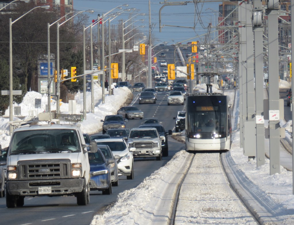
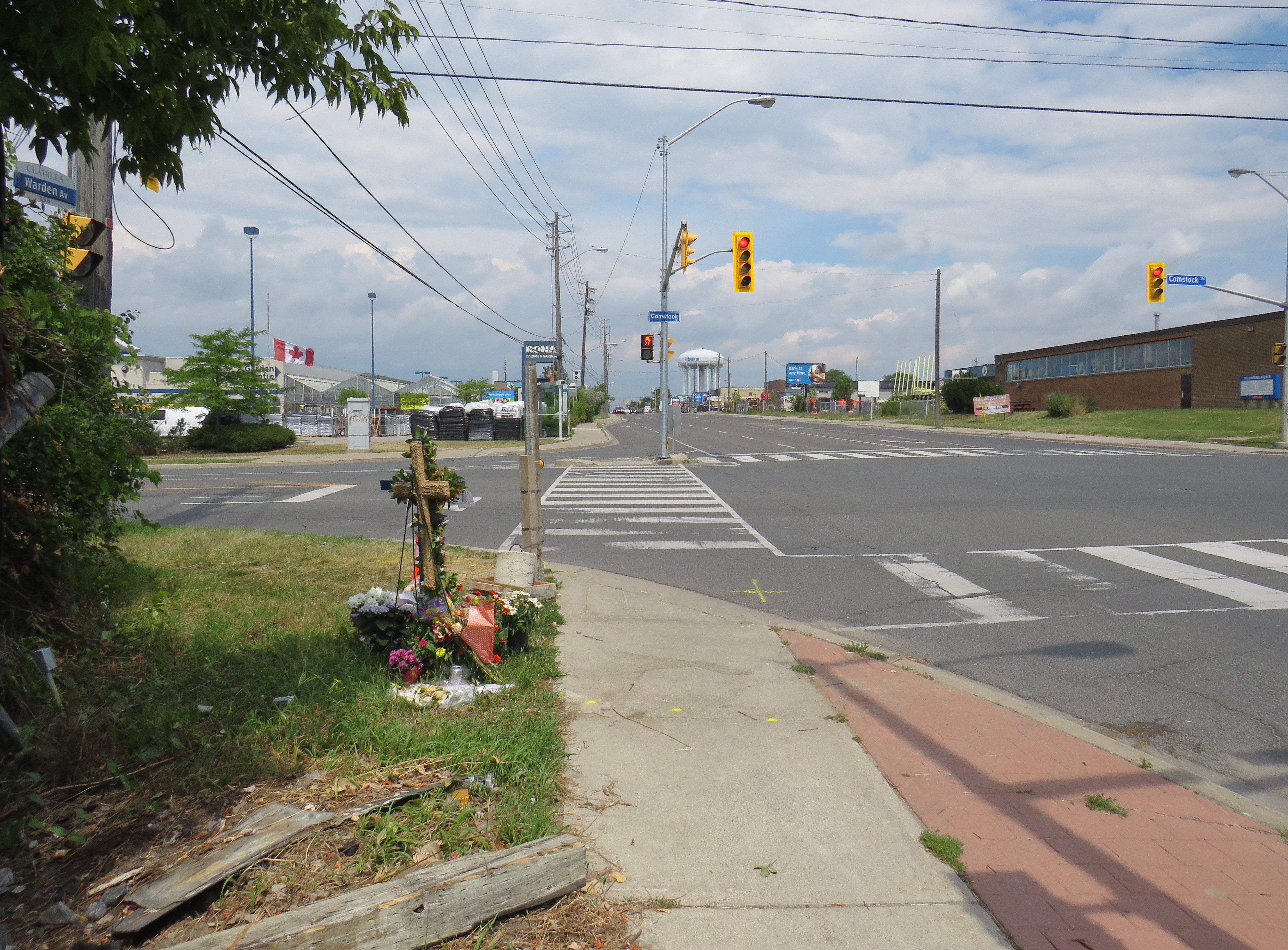
Eglinton Avenue East near Brimley Road, one of twelve Seniors Safety Zones in the City of Toronto

    Despite its status as a global city, a city that’s often ranked as one of the world’s safest, a city that likes to think of itself as both progressive and a top place to do business, Toronto does a lousy job of protecting its residents from injury and death on its roads.

    Although there have been a few positive steps — the new King Street Pilot, launched last week, or the Bloor Street bike lanes, made permanent between Avenue Road and Shaw Street in October — Toronto does far too little to protect pedestrians and cyclists in this city. The installation of sidewalks in residential neighbourhoods are often opposed by local residents resistant to losing driveway space on which to park their cars, or unhappy about having to clear sidewalks of snow and ice. Affluent neighbourhoods might be dotted with “drive slow – kids at play”  lawn signs, but their residents and elected representatives will oppose new bike lanes and lower speed limits on the arterial roads they use to commute downtown.

    The general idea of reducing road violence is a popular one. But specific actions are often opposed. The city’s own Vision Zero strategy — weak as it is — is a good indication of the ambivalence to road safety we have in this city.

    IMG_4403-001
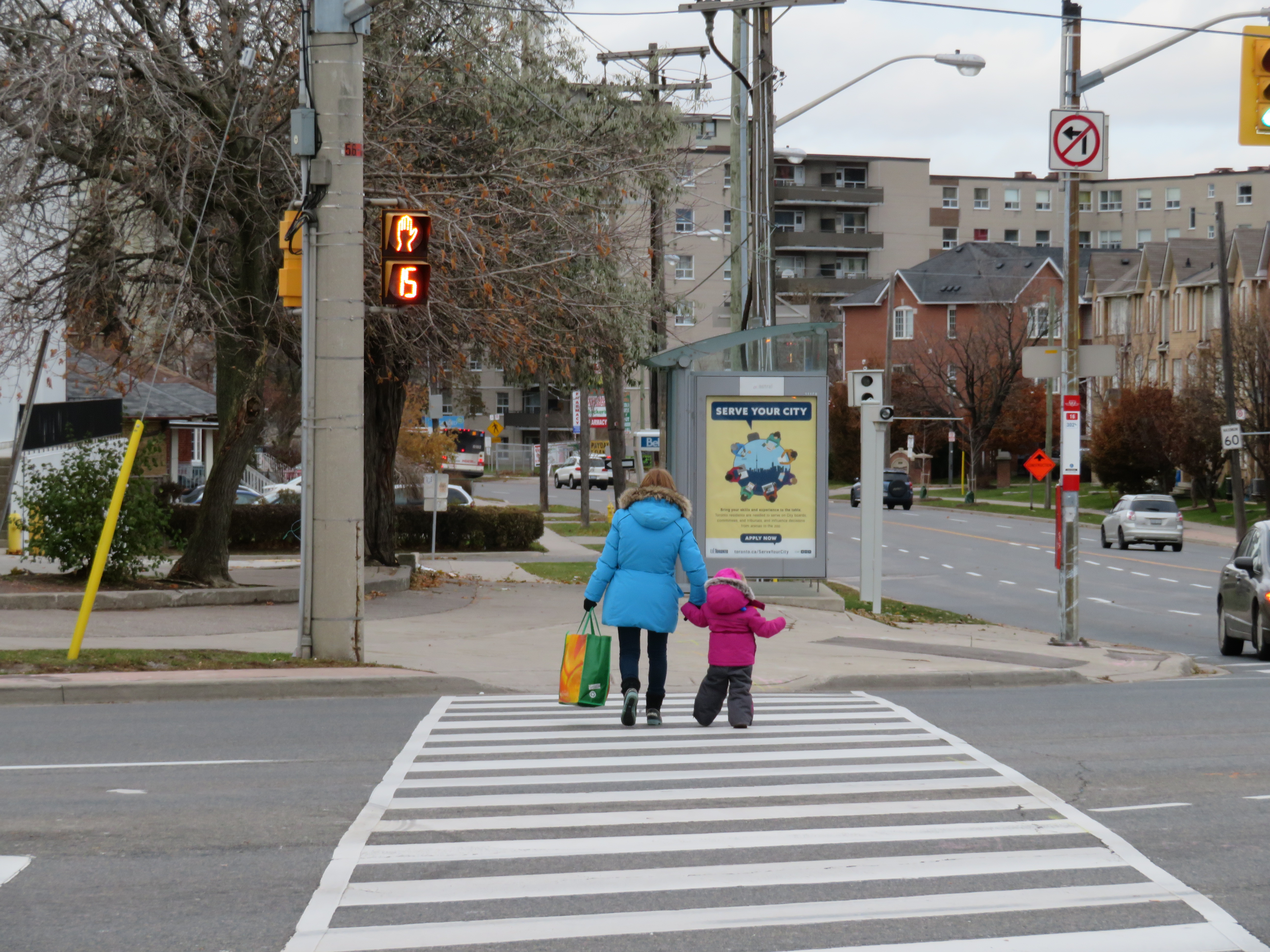
Woman and young child cross seven lanes of traffic at a crosswalk at Eglinton Avenue East and Danforth Road

    Vision Zero, which originated in Sweden, is the road safety philosophy that no loss of life is acceptable, and that all road users are human, that humans make mistakes, and road design must minimize the impacts of those mistakes. Complete streets that accommodate all road users (pedestrians, cyclists, motorists, and transit users), and road engineering measures to protect pedestrians and cyclists and reduce traffic speeds are in the spirit of Vision Zero.

    But when Mayor John Tory and Public Works and Infrastructure Committee Chair Jaye Robinson (Councillor, Ward 25) originally announced the city’s Vision Zero plan in June 2016, it merely aimed to reduce serious collisions involving pedestrians and cyclists by 20 per cent over a ten year period, allocating $68.1 million over five years.  The plan itself was modest. After a social media backlash and criticisms from active transportation activists (including Walk Toronto, of which I am a co-founder and a steering Committee member), the plan was revised, with an additional $10 million allocated and the goal to eliminate serious collisions, rather than simply reduce that number.

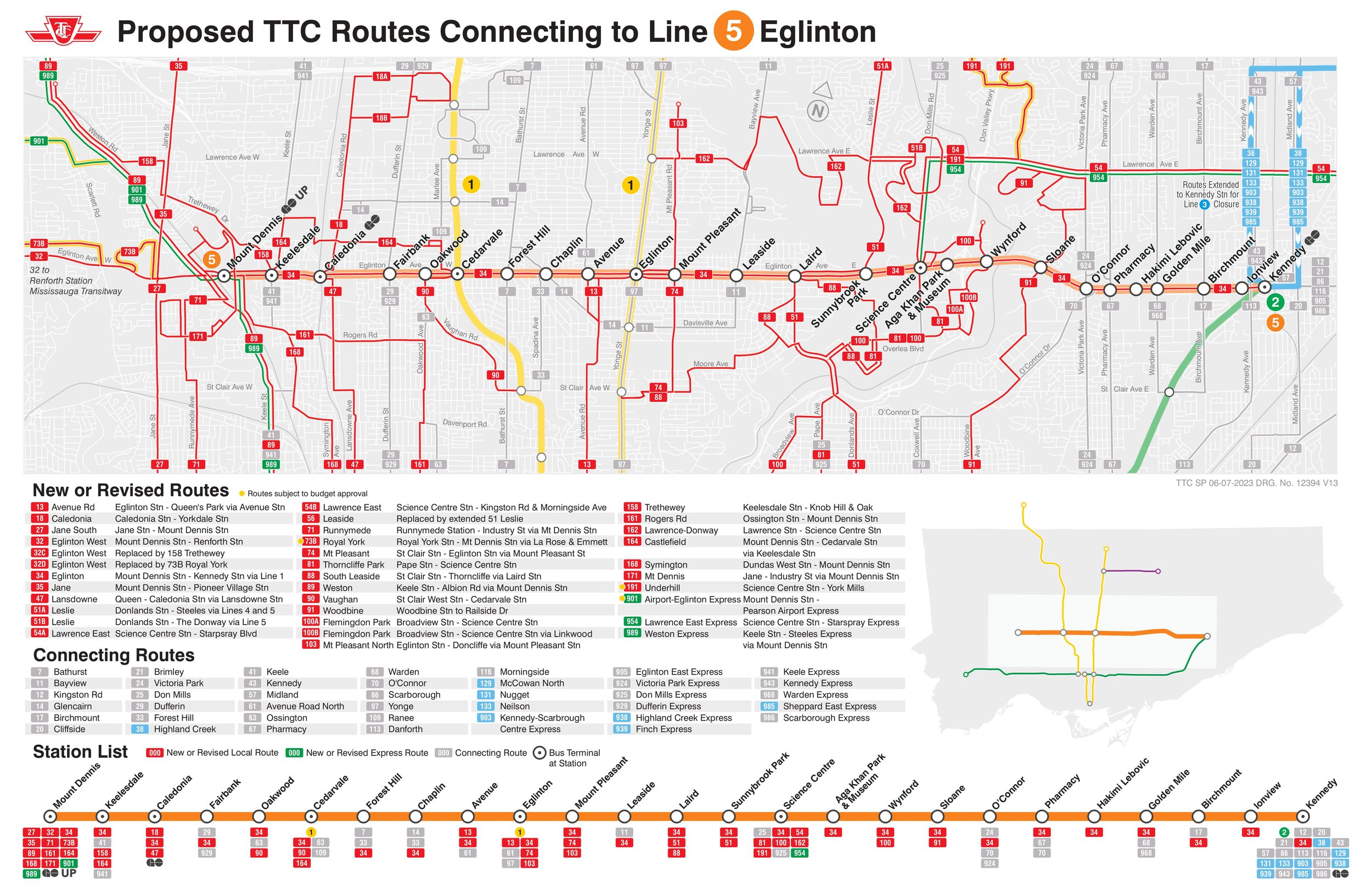
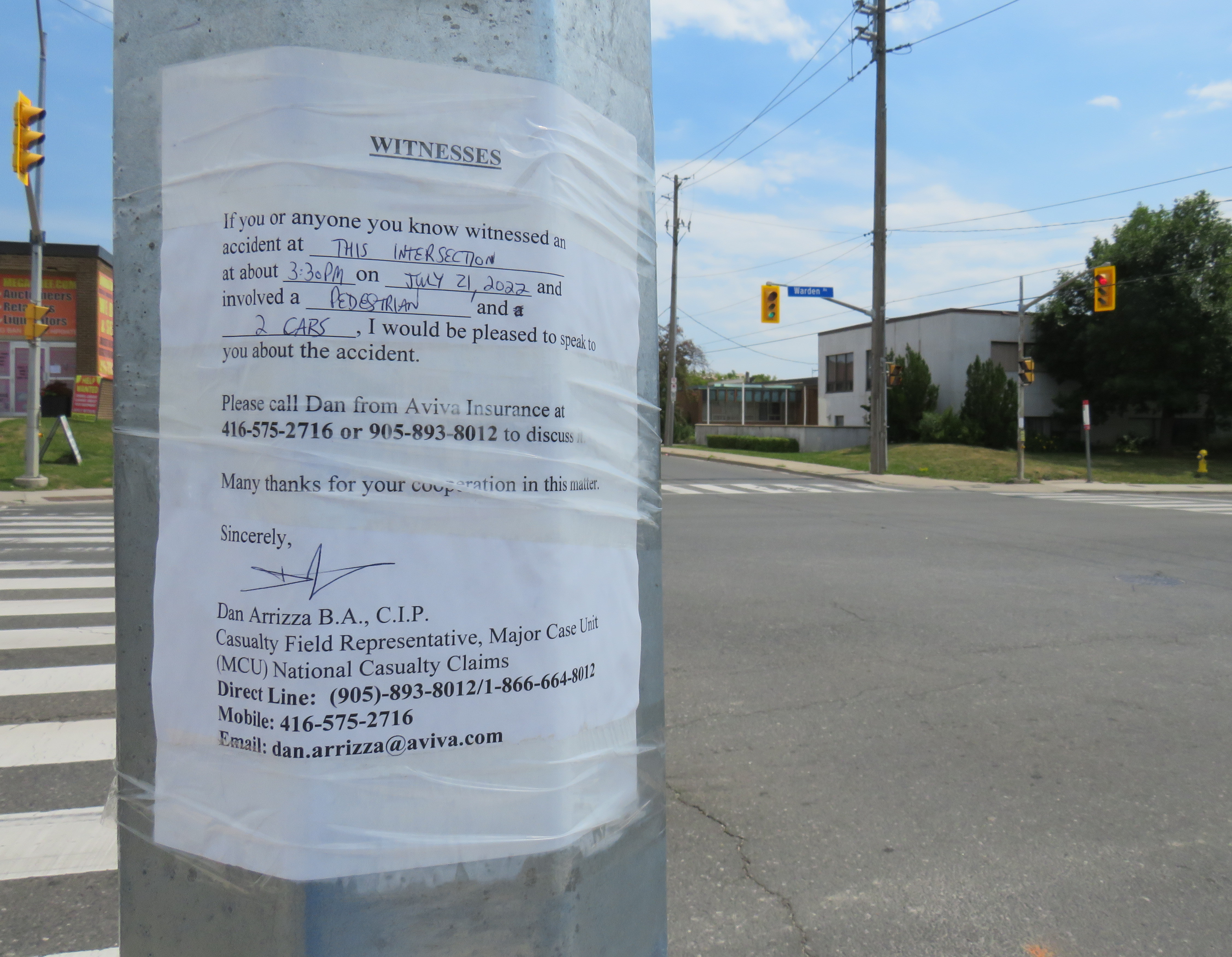
    One of the specific measures in the city’s Vision Zero plan is the creation of seniors safety zones, areas with high volumes of older adult pedestrians and higher risk of collision. Older adults make up a majority of pedestrian deaths in Toronto; 37 of the 43 pedestrians killed  in 2016 were over the age of 55. According to the City of Toronto’s Vision Zero Road Safety Plan, seniors safety zones will feature changes intended to improve pedestrian safety, such as lower speed limits, improved street lighting, advanced and extended walk signals at signalized intersections, red light cameras and radar speed signs, improved sidewalks and additional crosswalks, and increased enforcement.

    Twelve seniors safety zones were designated across the entire city of Toronto. Five are in the old City of Toronto, including Dundas Street at Bloor, Dundas at College/Lansdowne, and Dundas at Spadina. Six are in Scarborough, and one is in North York.

    IMG_0643
    Senior Safety Zone sign and 40 km/h speed limit, Danforth Avenue at Coxwell

    On Danforth Avenue, two senior safety zones were identified: near Coxwell Avenue and near Main Street. The speed limit on Danforth Avenue was reduced from 50 km/h to 40 km/h in 2016, but few other visible changes are apparent. Danforth Avenue is a five lane street, including a centre lane for left turns, and is paralleled by a subway line. The curb lanes on Danforth are unusually wide, and are used for parking outside of weekday rush hours. There are no bike lanes on Danforth either.

    Despite the 40 km/h speed limit, the wide lanes, dedicated turning lanes, and the absence of daytime local transit promote high speeds. The design speed of Danforth is simply too high; simply reducing the speed limit and putting up “senior safety zone” signs will do far too little.

    IMG_4396-001
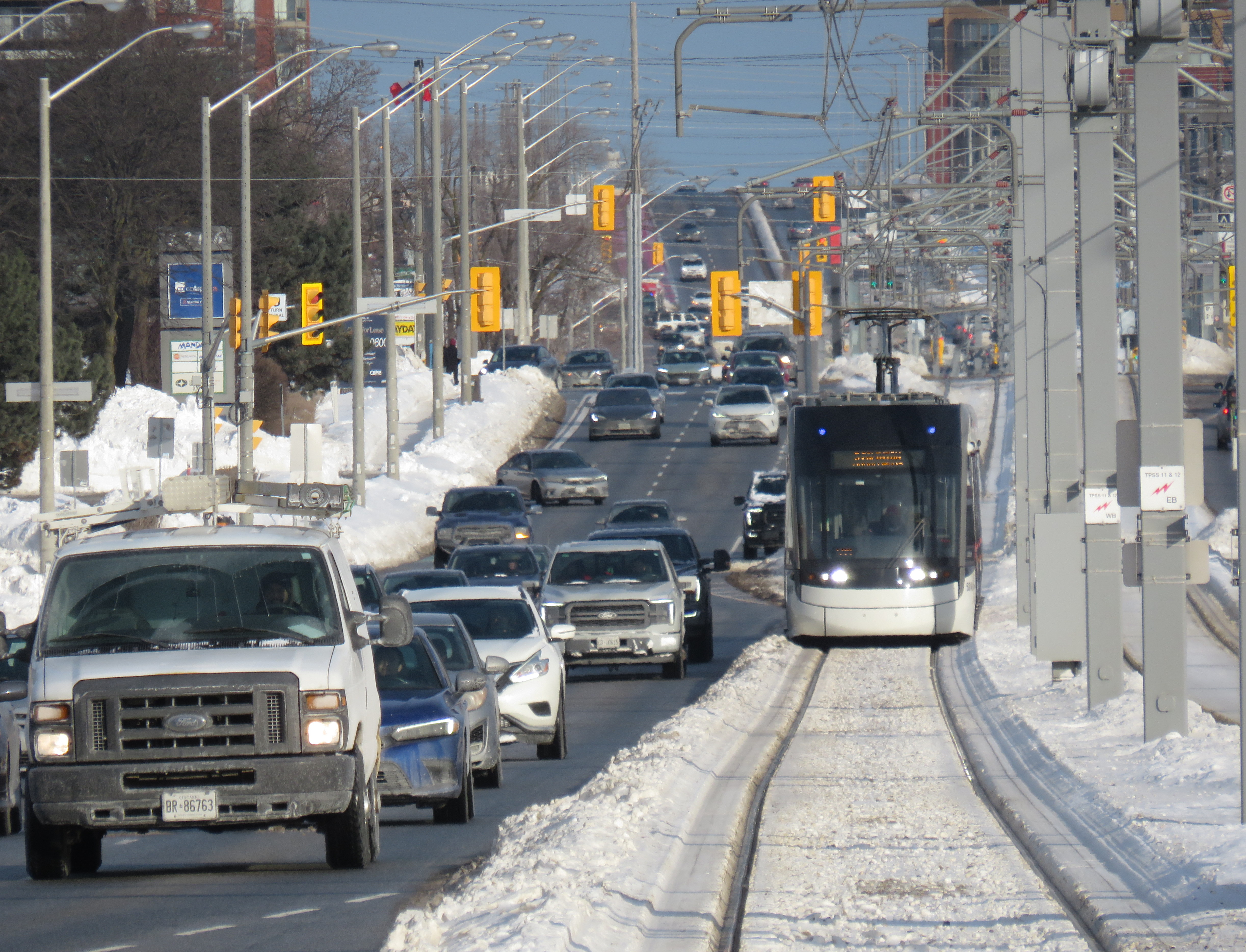
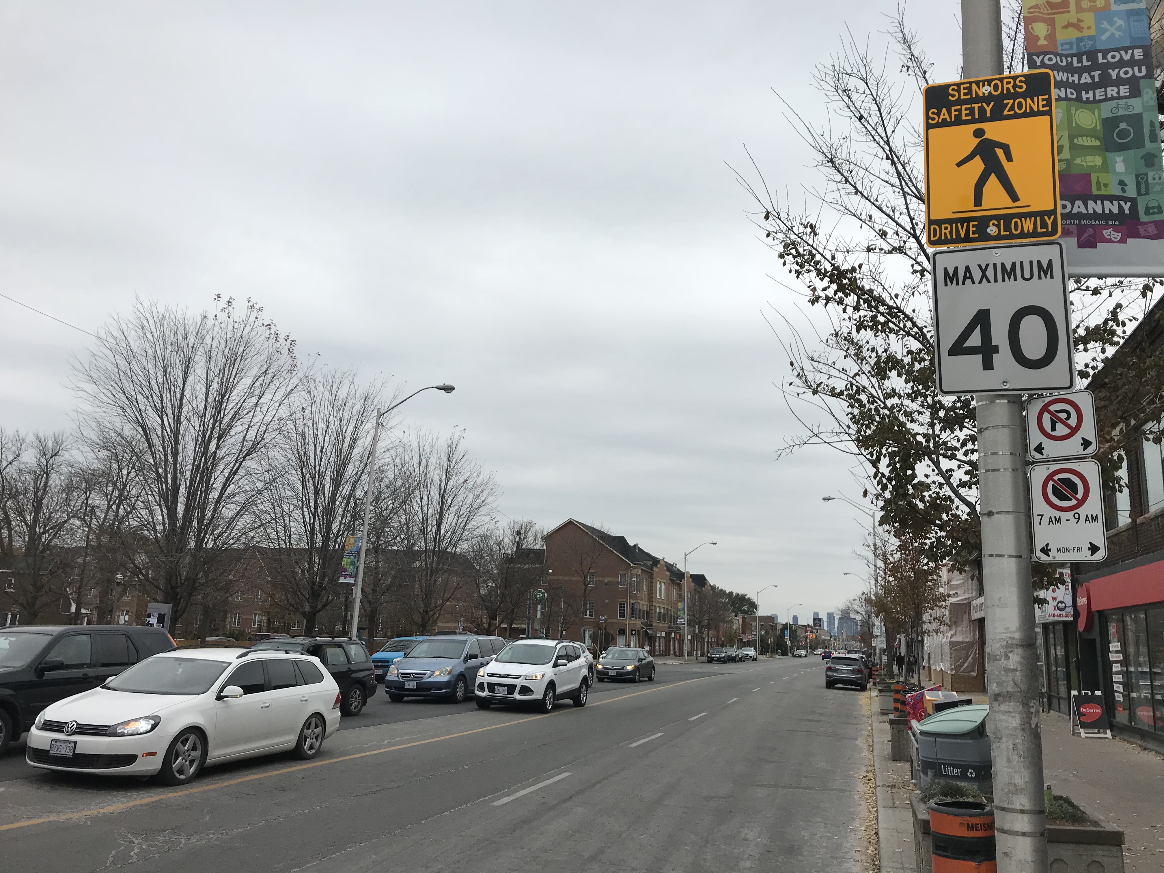
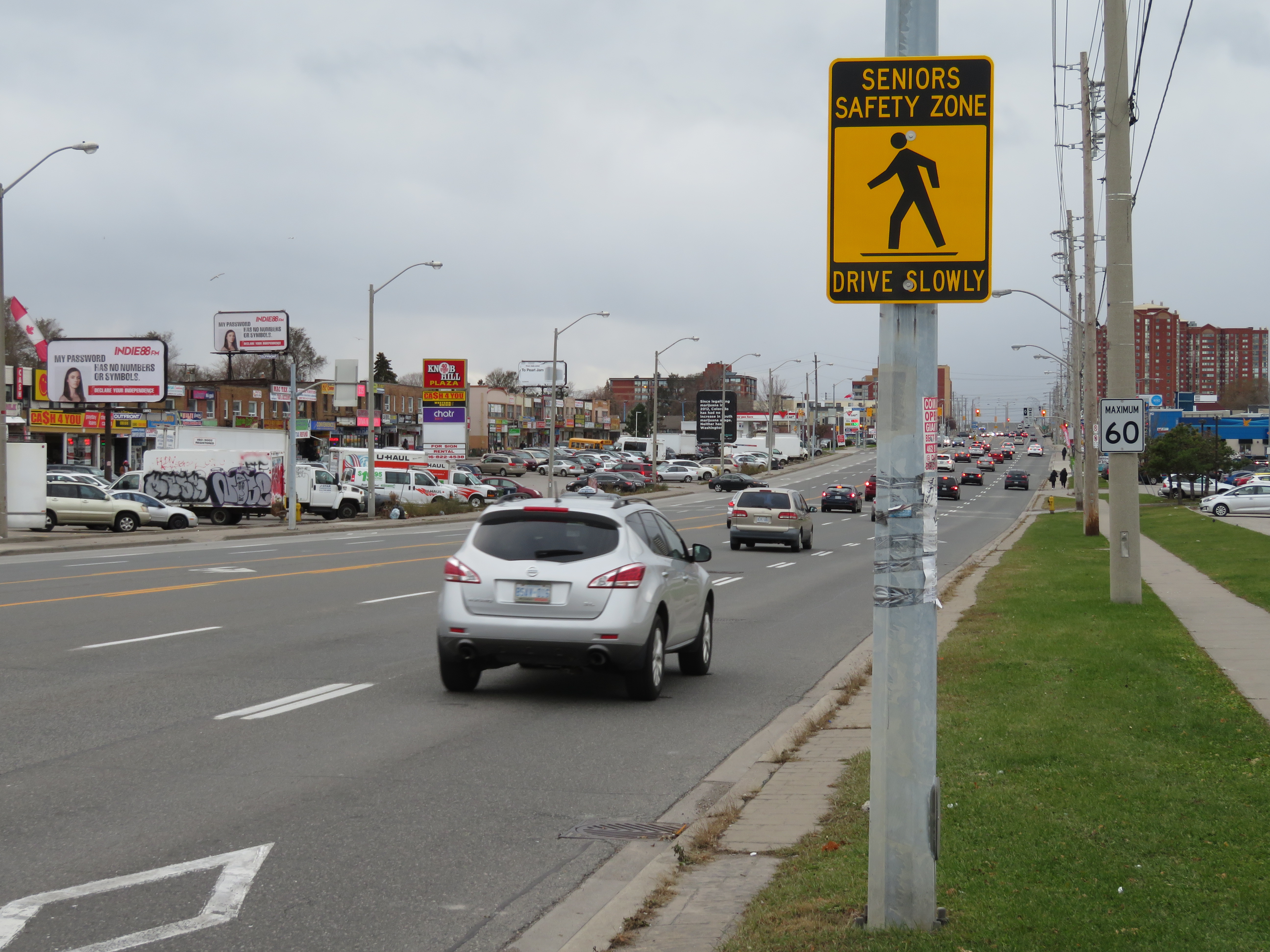
Seniors Safety Zone sign on Eglinton Avenue East, at Brimley Road. Note the 60 km/h speed limit sign

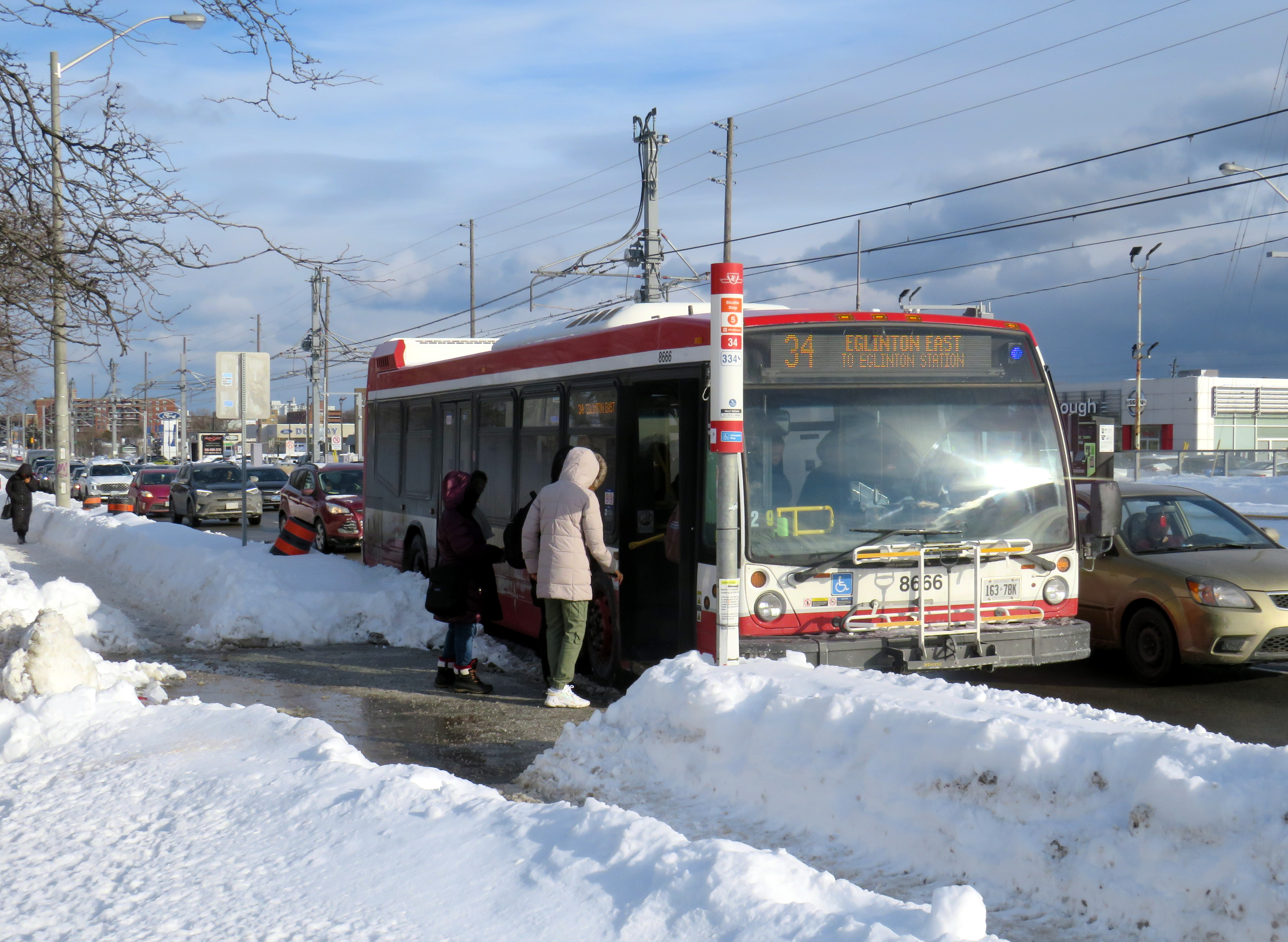
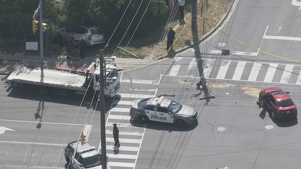
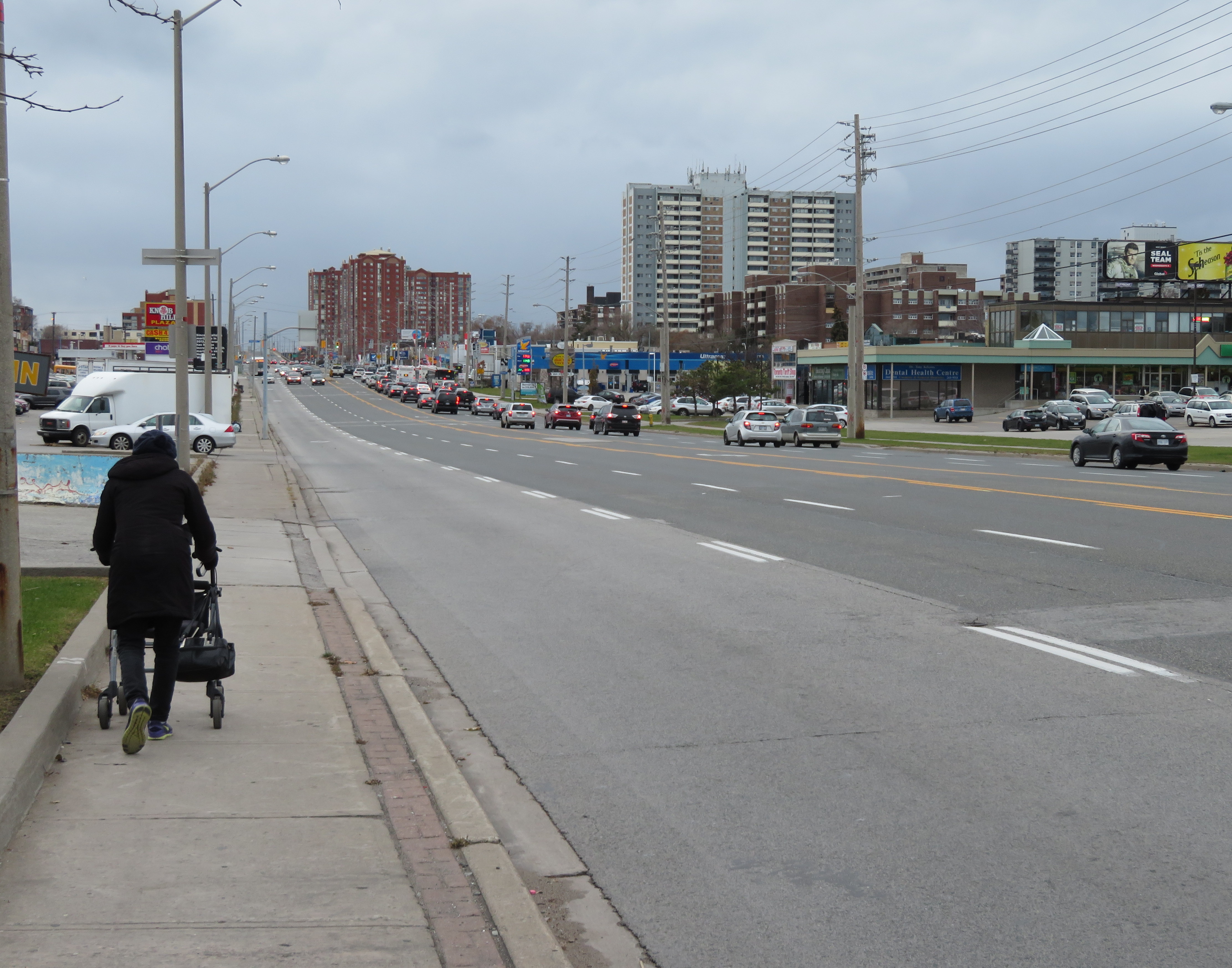
    Eglinton Avenue East, between Midland Avenue and Danforth Road in Scarborough, is another senior safety zone. Two pedestrians were killed on this stretch of road in 2016.

    Eglinton Avenue through Scarborough is seven lanes wide, including a centre left-turn lane to cross streets and commercial properties that line the wide street. Traffic signals  are typically 500 metres apart; many TTC bus stops on Eglinton Avenue East are located far from a designated crosswalk. Buses are frequent between Midland and Brimley; four frequent routes feed into the Kennedy subway station to the west. Again, there is no cycling infrastructure to be found.

    The senior safety zone here is a joke. Not one safety intervention was made here. The yellow-and-black safety zone signs that read “drive slowly” are merely advisory, and do not stand out among other traffic  and commercial signage. The 60 km/h speed limit was not changed, and intersections were not altered at all to improve pedestrian safety.

    IMG_4374-001
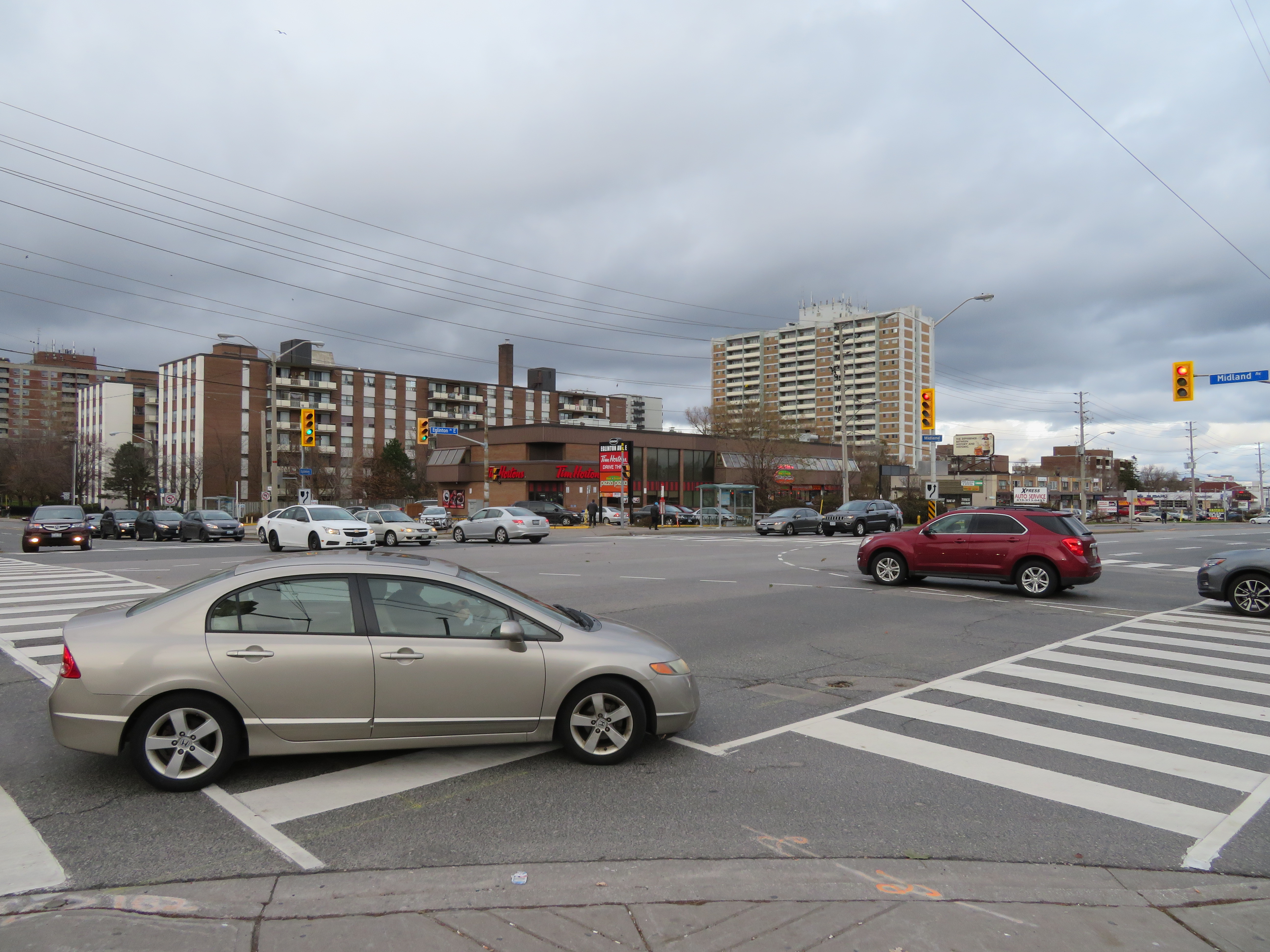
At Eglinton and Midland Avenues, wide curb radii encourage speedy right turns into crosswalks; many drivers do not stop at the red light before making a right turn

    Several residential side streets off of Eglinton, such as Winter Avenue, do not even feature sidewalks. The signs might say “seniors safety zone” but there is no evidence that pedestrian safety is taken seriously at all here.

    IMG_4379-001
    Winter Avenue’s sidewalks disappear a mere 50 metres south of Eglinton Avenue

    Physical interventions, such as narrower lanes (which could make room for cycling infrastructure and/or wider sidewalks), bump-outs at crosswalks to improve pedestrian visibility and slow down right-turning vehicles, would be more effective. Police enforcement, or speed radar cameras, would be an additional deterrent against dangerous driving.

    At least the city has taken notice of the unacceptable numbers of pedestrians and cyclists killed in Toronto, but simply putting up new speed limit and safety zone signs are not enough. Without road engineering works to slow traffic down, and without effective police enforcement against speeding and drivers’ failures to obey traffic signs and yield the right of way to pedestrians, we only get feel-good measures and ineffective signs. A real commitment to Vision Zero requires political will, which so far is lacking at City Hall. Instead, we get zero vision.