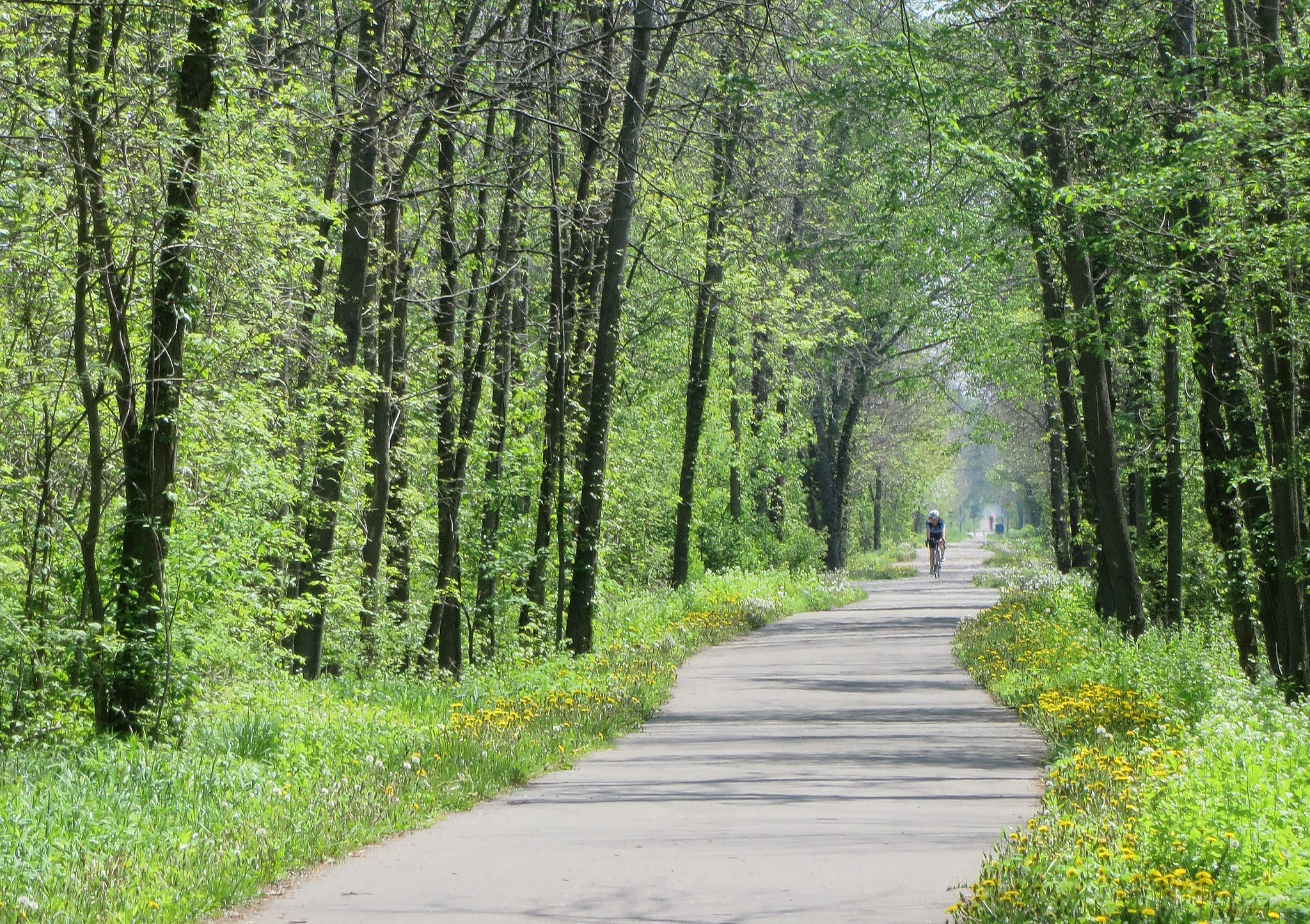
 The Friendship Trail, part of the the Greater Niagara Circle Route
Back on Victoria Day weekend, I took advantage of GO Transit’s summer weekend train service to go for a two-day ride around Niagara Region, on a circle to and from Niagara Falls via the Niagara River, the Welland Canal, and a rail trail connecting Port Colborne and Fort Erie, a circle tour of just under 150 kilometres over those two days.
For several years now, special GO trains operate on weekends and holidays from Canada Day weekend to Labour Day weekend; and on Victoria Day and Thanksgiving weekends. On the Niagara trains, GO operates two specially-equipped cars with bicycle storage on the lower levels to accommodate cyclists looking to get out to this bicycle-friendly corner of Southern Ontario.
Day 1 – Niagara Falls to Port Colborne
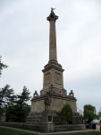
I cycled from the GO train at Niagara Falls, down and up the Niagara Escarpment, mostly following the official Greater Niagara Circle Route, stopping at Brock’s Monument, Queenston, Niagara-on-the-Lake for food and libations, then to the Welland Canal and following that to Port Colborne. There are many historic sites and wineries along the way to visit, and you’re likely to spot several lake and ocean-going freighters along the way in the canal. Except for the escarpment, the ride is very flat and forgiving to the less experienced cyclist.
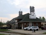
Port Colborne, about half-way on the two-day ride, is a lovely place to stay overnight; there are several good bed and breakfasts that welcome cyclists, as well as a few good food options downtown. Several people, including the B&B host, recommended an Asian-Mexican fusion restaurant located in an old railway station. That busy little place also had bike racks and a bike repair stand provided by a well-known independent Toronto brewery.
Port Colborne is now the home of the Jadran, better known as Captain John’s, as it awaits scrapping.


(more…)
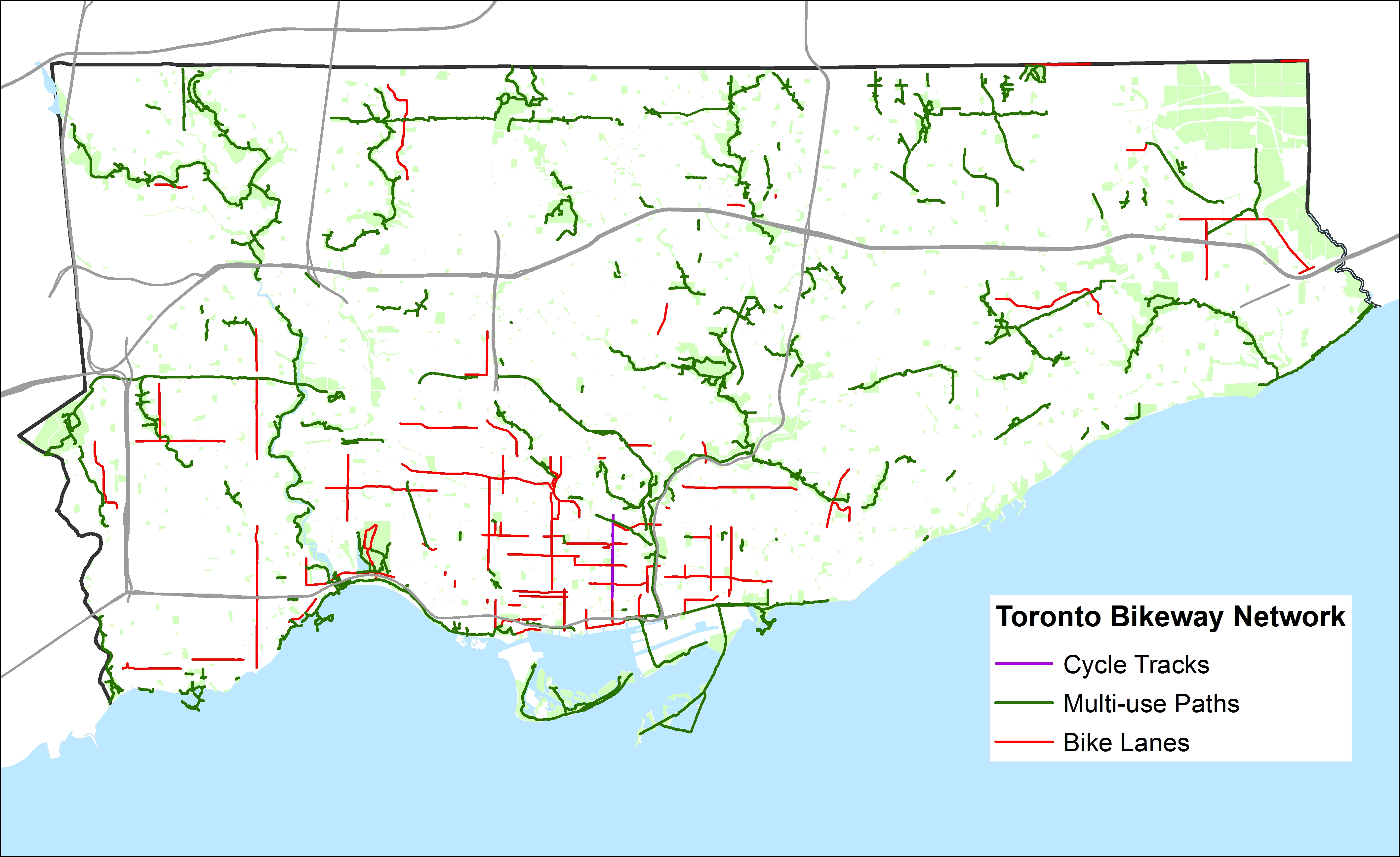
 Toronto’s Bikeway Network, as of January, 2015
 Toronto’s Bikeway Network, as of January, 2015, with the sharrows and signed routes removed