Category: Cycling

  • Cycling the Greater Golden Horseshoe

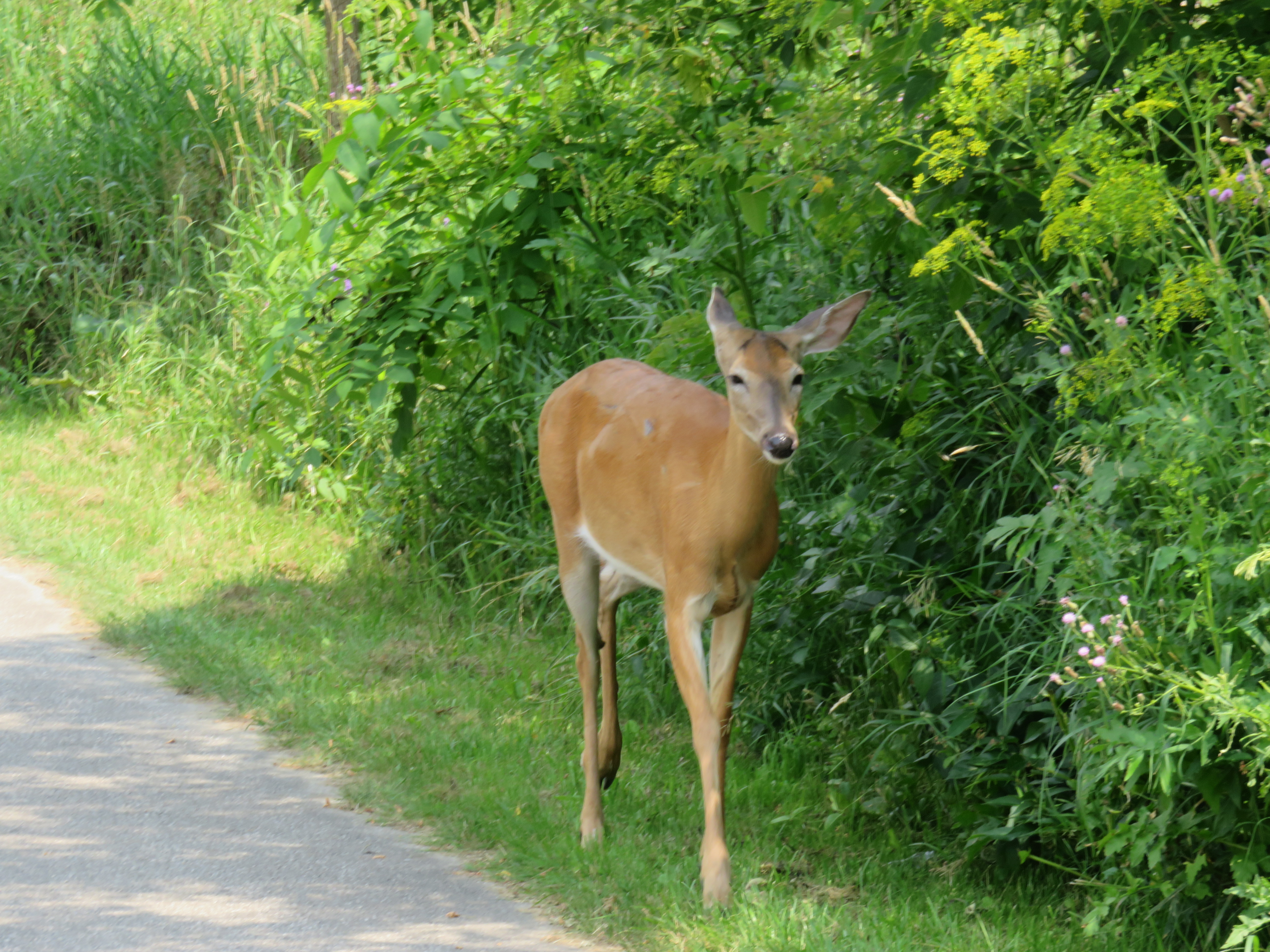
    IMG_4179You never know who you might meet when you ride through Toronto’s ravines
    Spring is here!

    One of my favourite things to do is go for a ride, either within town, or on a day trip or an overnight excursion. Toronto’s ravines are a treat; and the further away from Lake Ontario you get, the quieter the trails are.

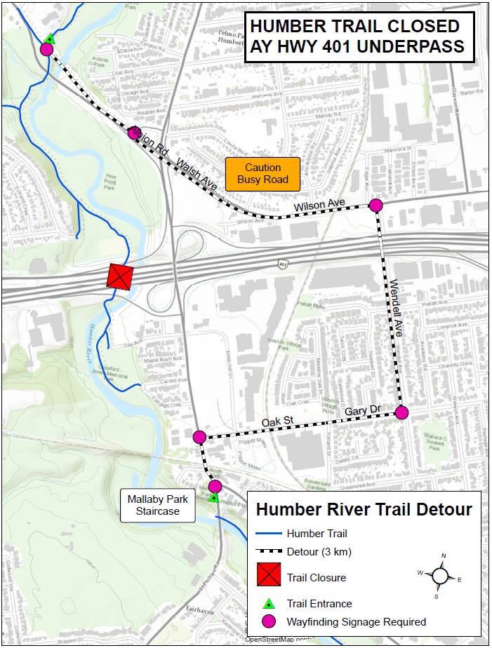
    Two years ago, I was riding up the Humber River Trail north of Highway 401 when I saw a deer wandering down the path. I stopped, and the deer passed by, within metres of where I was standing. Not much further north, I saw two deer — a fawn and its mother — fording the Humber. Tommy Thompson Park, better known as the Leslie Street Spit, is another favourite place to go. The Spit was created from clean landfill to create a new outer harbour in anticipation for St. Lawrence Seaway shipping that never came. Instead, it has become an important migratory bird sanctuary. The views of Downtown Toronto are great, and there are no ferry lines to wait in.

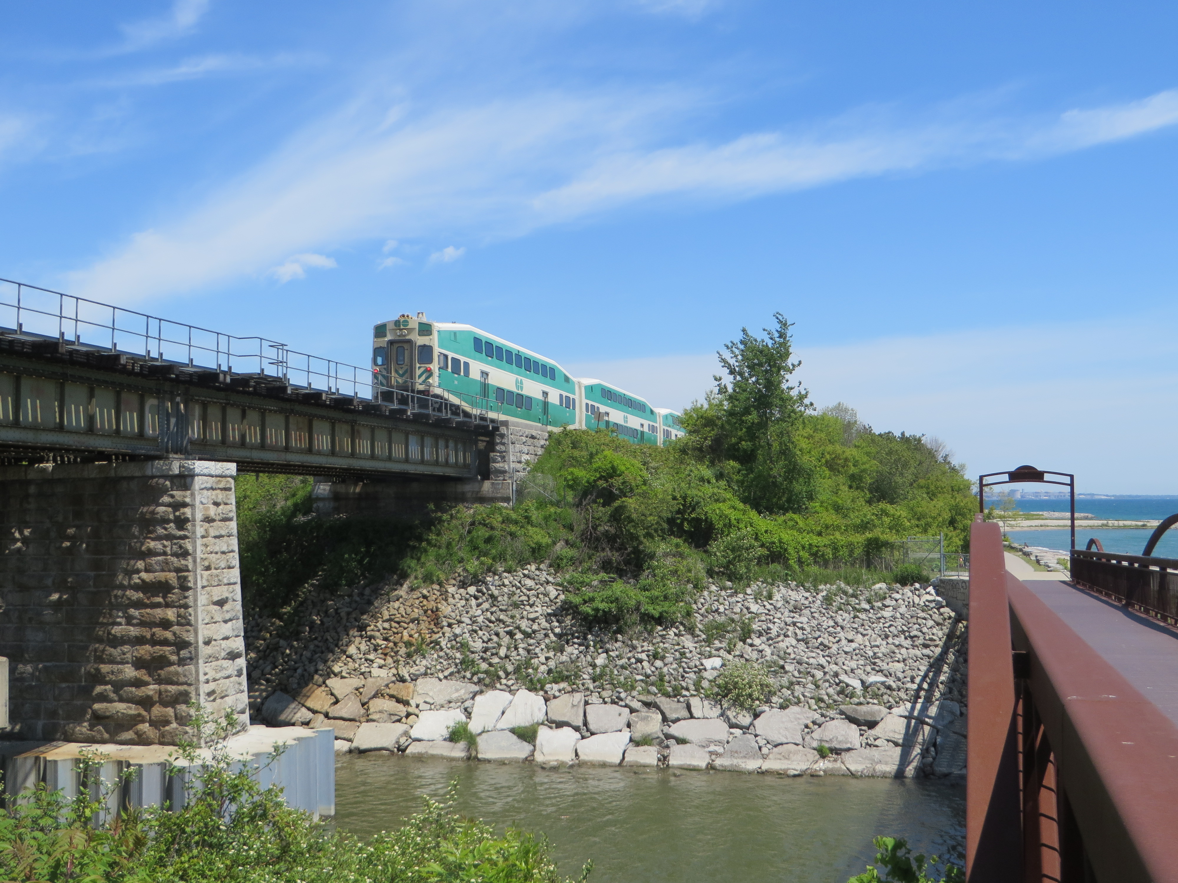
    For longer distances, GO Transit is especially helpful. All of their buses are equipped with bike racks and their train (outside of rush hour, of course) can handle over 25 bicycles each. (The seasonal Niagara trains have dedicated bike coaches as well.) GO Transit can get you out of the city for more rural rides, or for longer one-way rides to or from Toronto.

    At least twice a year, I ride out to Hamilton on the Waterfront Trail, opting to enter that city by going around Burlington Bay and taking Cannon Street in from the east. It’s an 85 kilometre trip that takes the better part of the day. I’ll have dinner and drinks at one of the many Downtown Hamilton establishments before loading my bike on the bus at the Hamilton GO Centre. Other times, I have used GO Transit to get out to rail trails in Peterborough, Uxbridge, Guelph, or Barrie.

    I prefer rail trails as they’re more relaxed than rural roads or highways; I’m not able to keep up with roadies, and I’m okay with that. Rail trails are flat, but they’re also usually unpaved, and some sections are very quiet. (I have gone 20 or 30 minutes without meeting another trail user in some rural areas.)

    Here is a summary of some of my favourite long-distance rides.

    (more…)

  • A better Hurontario Street – an LRT update

    IMG_0091-001.JPG
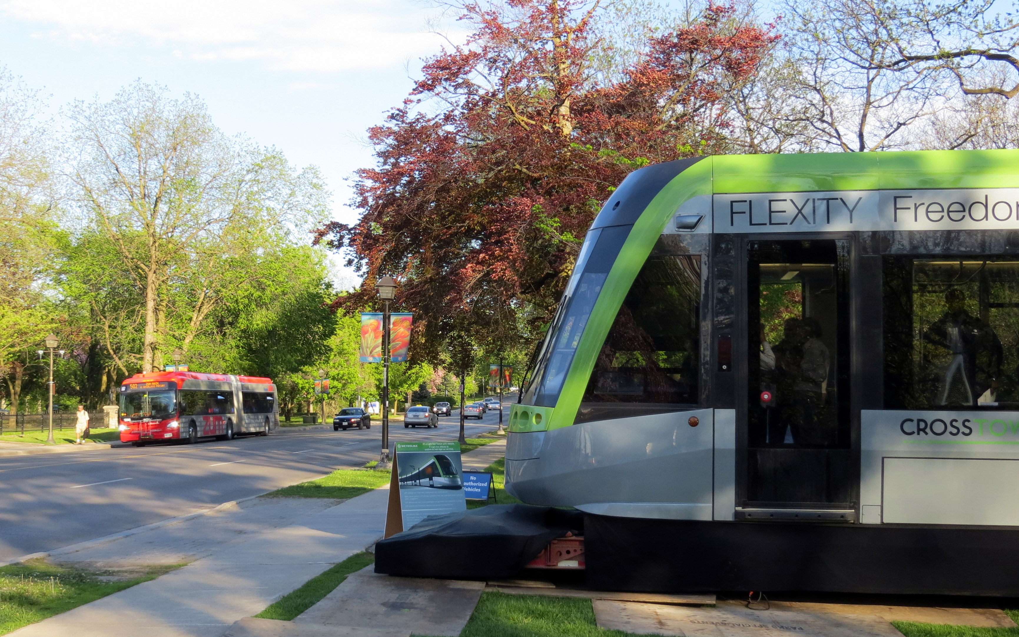
    Metrolinx light rail vehicle mock-up at Gage Park, meets a Brampton Transit Zum bus, 2013. 

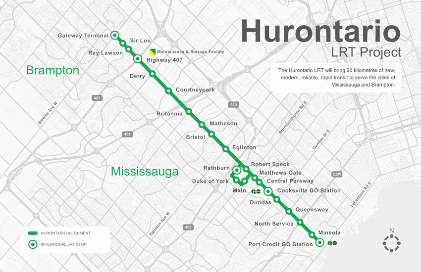
    Earlier this week, I visited Brampton City Hall, where at a public open house, Metrolinx and city staff provided an update of the Hurontario Light Rail Transit project. Brampton City Hall was an ironic location for the open house; before Brampton Council voted against building the LRT up to Downtown Brampton and the GO/VIA Station, the LRT line would have stopped right here. Even with Brampton’s decision, there will be three stops in the city, so an open house for local residents to provide their feedback was still needed.

    hurontario_lrt_map_en-850x550
    The Hurontario LRT project, map via Metrolinx

    The open house was quite interesting as more design details were displayed. There`s a focus on promoting active transportation — walking and cycling — and urbanizing much of the corridor. Three lanes of motor traffic will go down to two in most places, and right turning traffic will be tamed. This will make Hurontario Street a safer and more pleasant place to be.

    Along the entire LRT corridor, Hurontario Street will feature separated bike infrastructure — for the most part, there will be separated bike lanes, with multi-use paths in a few areas, especially south of the Queensway, where Hurontario Street is narrower. Sidewalks are also wider. With only a few exceptions, cyclists will be able to ride across intersections without being required to dismount. Those exceptions are at the Queen Elizabeth Way, and at Highways 403 and 407, where Ministry of Transportation Ontario (MTO) standards at interchanges will force the “stop, dismount, wait for gap” regime; pedestrians will also still have to yield to motor traffic.

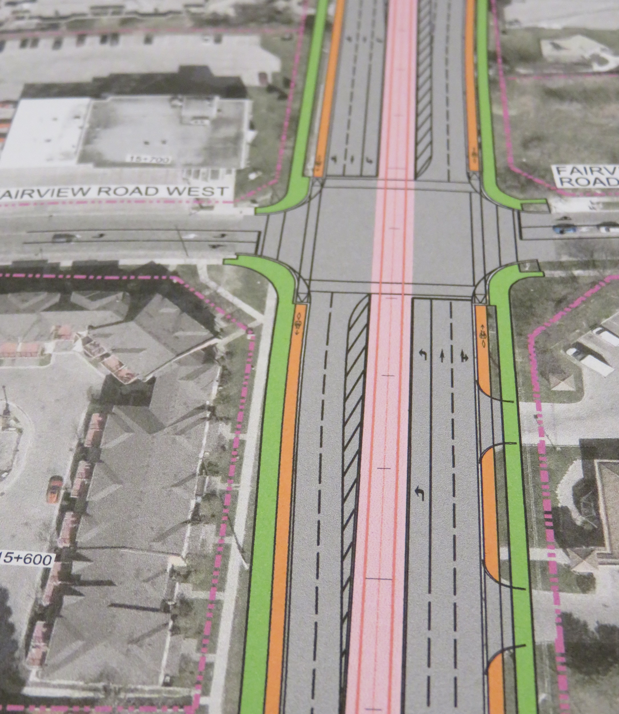
    img_8334-001Typical cross-section once the LRT is built. The orange paths are the separated bike lanes, the green paths are sidewalks. Hurontario Street will only have two traffic lanes in each direction. 
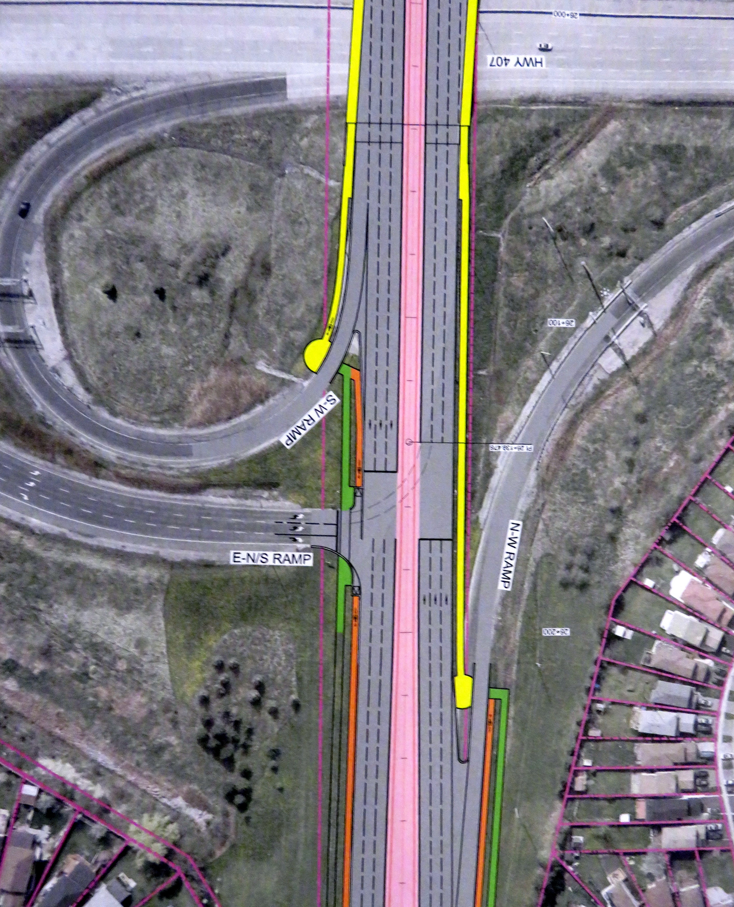
    img_8328-001At expressways, like at Highway 407, pedestrians and cyclists still must yield to motor traffic at on-ramps. 
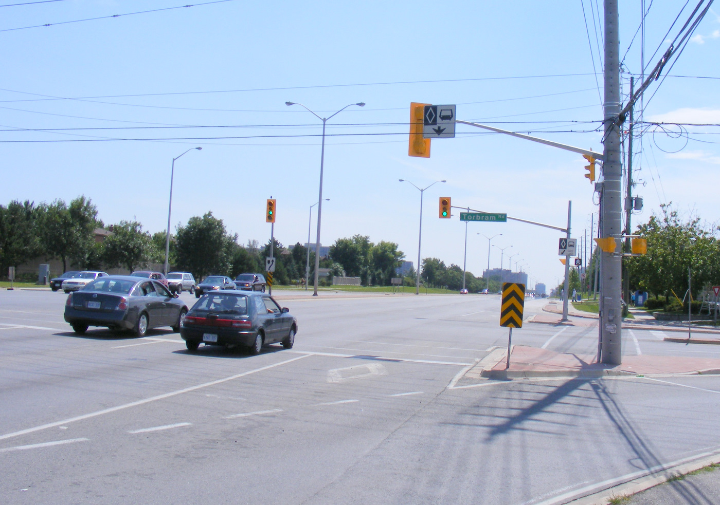
    In another benefit for pedestrians and cyclists, channelized right turns are eliminated along the entire route. Channelized right turns (like the one shown below) are convenient for motorists, but they increase conflicts with foot traffic and are incompatible with lower speeds and safe cycling infrastructure. Their removal also creates new room for streetscaping opportunities.

    4852433218_a9848b9973_o
    An example of a channelized right turn

    The northern terminus of the LRT, at least for now, will be at Steeles Avenue. As Brampton debates other LRT alignments (Kennedy Road and McLauglin Road are indirect alternatives to reach Downtown Brampton), the stop was moved to the south side of the intersection. This is unfortunate: the Brampton Gateway bus terminal, which opened in 2012, was designed to easily connect with the planned LRT stop on the north side of the intersection, with two short crosswalks across southbound Main Street.

    img_8331-001
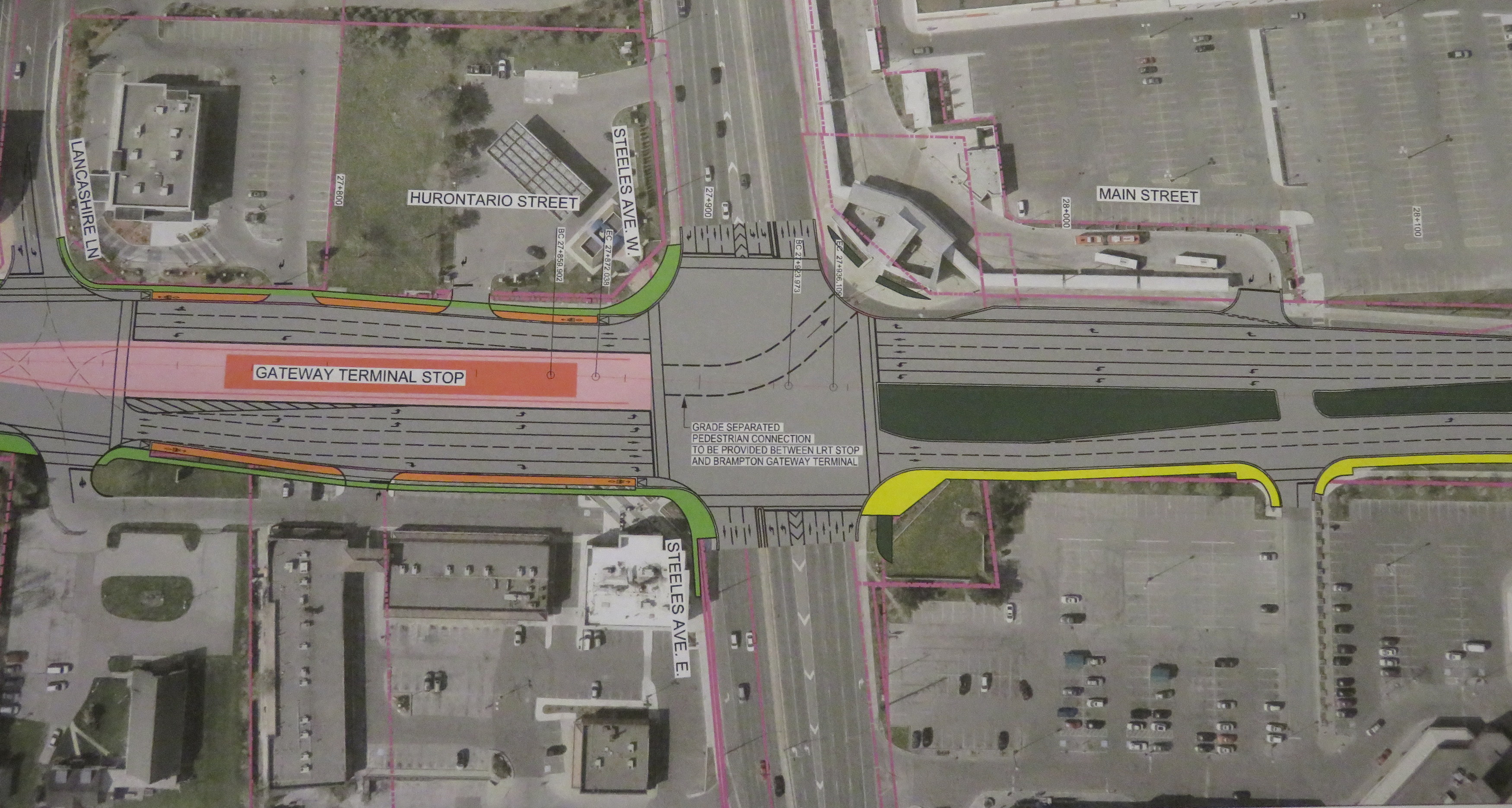
    Planned LRT terminus at Steeles Avenue, including tunnel between the LRT platform and the Brampton Gateway Terminal. 

    Instead, a more expensive tunnel is required to accommodate transferring passengers between the LRT and buses. Elevators and escalators will provide direct access to the tunnel; crosswalks at Steeles Avenue and Lancashire Lane will also be accessible from the platform.

    The final contract is planned to be signed in mid-2018 and construction should begin in Fall 2018. As the City of Mississauga backs the LRT project, hopefully any change in the provincial government will not jeopardize this plan. Not only will Mississauga (and south Brampton) get a fine new transit service, it will also see a tamer, more urbanized main street.

    And maybe Brampton City Council will come to its senses and extend the transit corridor via the direct, least-expensive, Main Street alignment.

  • A ride from Caledon to Guelph via the Elora-Cataract Trailway

    IMG_5393-001

    On Friday, September 2, I went for an 80 kilometre ride between Caledon and Guelph on what turned out to be a spectacular day: sunny, a high of 23 Celsius and without too much humidity. The summer of 2016 has been exceptionally hot and muggy for long-distance rides, so I’ve done fewer of them. I was lucky to have that Friday off.

    I started my trip in Caledon Village, after taking a GO train to Brampton and transferring to GO Transit’s Route 37 Orangeville bus, which only runs on weekdays. This made the trip very difficult to do on a weekend (I would have to ride 20 kilometres up from Brampton, on busy roads, and up the Niagara Escarpment, otherwise). The racks at the front of GO buses are wonderful for getting out of town (I used GO’s bike racks on similar rides this year), but they tie you to a schedule.

    Map of my ride

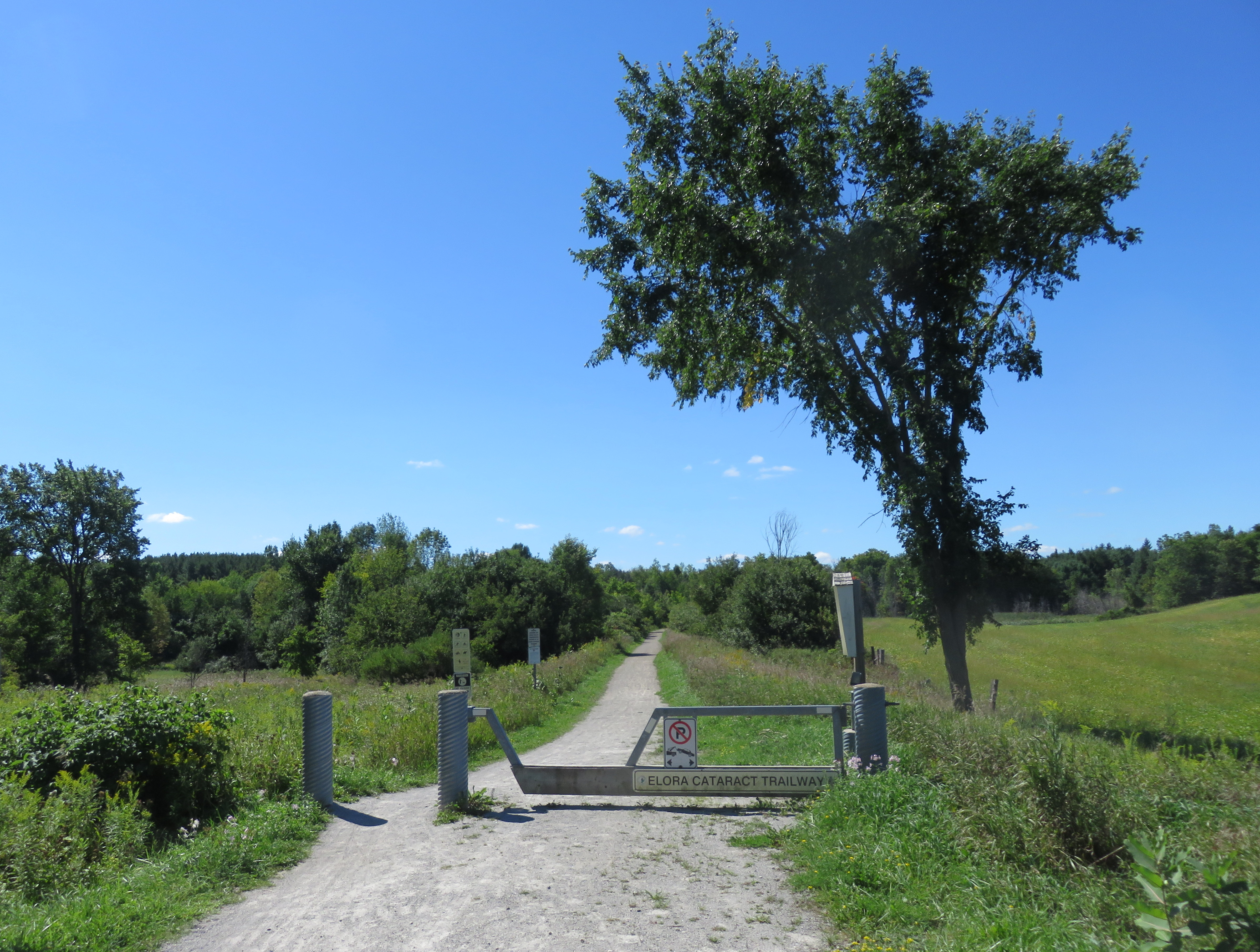
    The Elora-Cataract Trailway, owned and managed by Credit Valley Conservation (Cataract to Hillsburgh), and the Grand River Conservation Authority (Hillsburgh to Elora) is one of the best rail trails that I have ever rode. The surface was in near perfect condition along the entire stretch. Wayfinding, including through a gap at Fergus, was great. Barriers at crossings keep motor vehicles out, but are not too difficult to get around for cyclists. And it’s easy enough to get to and from Guelph. But it’s not so easy to get to from Brampton/Caledon.

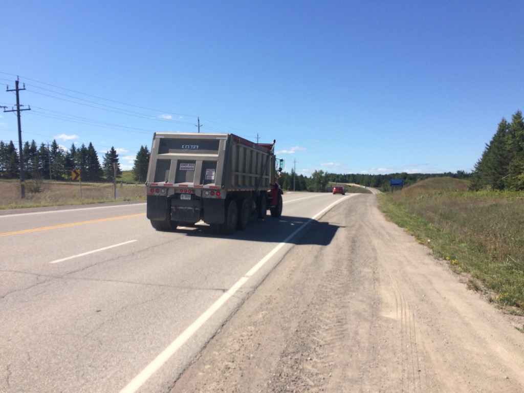
    After getting off the Route 37 bus in Caledon Village, and after a quick stop there for refreshments, I rode west along Charleston Sideroad for four kilometres to Cataract Road, the only possible route without very lengthy and hilly detours.. That was the most aggravating and dangerous bike ride in a very long time. There’s no paved shoulder, so I rode on the white line demarcating the far right side of the lane. There are several quarries nearby, and Charleston Sideroad was once known as Highway 24. There were many quarry trucks and other large vehicles, most who refused to provide the mandatory 1-metre space that the Highway Traffic Act now mandates. One quarry truck driver blared his multiple times at me, angry and unwilling to share the road.

    image1Westbound on Charleston Sideroad

    The dirt shoulder, filled with large stones and debris, is not suitable for cycling. The Region of Peel, responsible for this road, should pave the shoulders as soon as possible. Improved connections to Brampton and the Caledon Trailway should also be identified and built. But once off Charleston Sideroad, the ride quickly became one of my favourites.  (more…)

  • A ride from Peterborough to Uxbridge (Day 2)

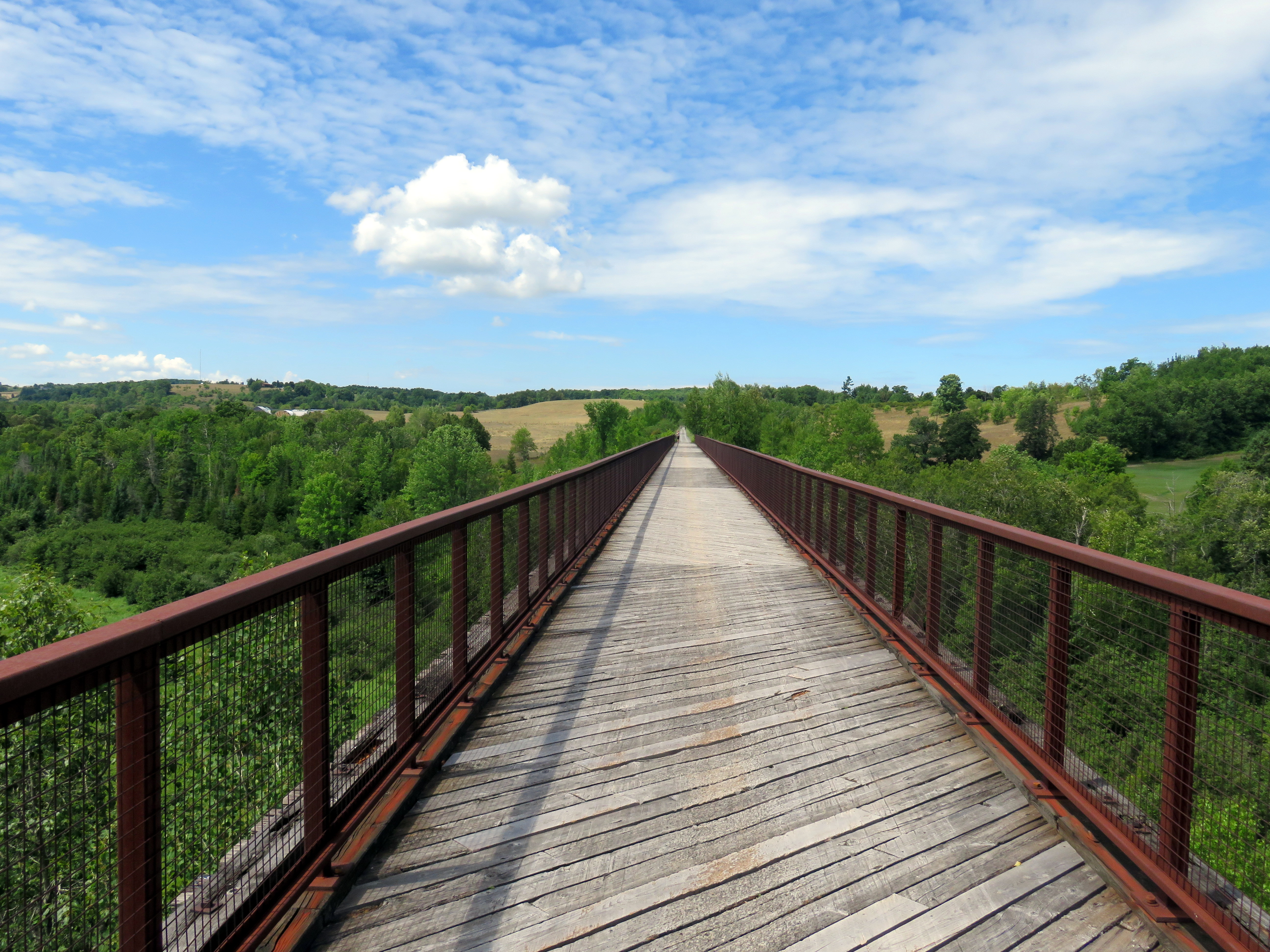
    IMG_4092-001Looking west on Doube’s Trestle, between Peterborough and Omemee
    After riding the Lang-Hastings trail on Sunday July 30, I cycled from Peterborough to Uxbridge on Monday, August 1, stopping at Trent University. This is one of my favourite rides in Ontario, having done this route twice before. But this was the first time I rode west towards Uxbridge, rather than east to Peterborough.

    In total, I rode 99 kilometres that day, and given the heat (and the lack of shade), I ended up ending up a little bit dehydrated — and quite tired — at the end of the trip. There are no places to rest or buy snacks or beverages between Lindsay and Uxbridge, so it’s best to plan ahead. Bring lots of water; Lindsay is an excellent place to take a break and have a light meal. At Uxbridge, I had dinner at a local pub before loading my bike on a GO Transit bus back to Toronto.

    There are a number of great rail trails in Southern Ontario, but except in the Lindsay-Peterborough and  Kitchener-Brantford-Hamilton regions, rail trails in Ontario, where they exist, are usually disconnected from each other and difficult to access from Toronto without a car. It makes me long for Québec s Route Verte network of trails and cyclist-friendly roadways.

    (more…)

  • A ride between Peterborough and Hastings (Day 1)

    IMG_4015-001The Trans-Canada Trail crosses the Otonabee River near downtown Peterborough, next to the Canadian Pacific Railway

    During the Civic Holiday long weekend, I spent two days cycling around Peterborough and two of the rail trails that radiate out of it. Peterborough is one of my favourite places to cycle; it is my third time there on two wheels.

    On Sunday July 31, I started by taking the GO Lakeshore East Train, then transferring to the 88 Peterborough GO bus. Every GO bus is equipped with a rack that can accommodate two bicycles, and all non-peak GO trains can take two or four bicycles per coach (there are special bike coaches as well on the Niagara summer weekend service). After getting off the bus in Downtown Peterborough, and getting coffee at one of that city’s many downtown cafes, I biked out to Hastings, on the Lang-Hastings Trail, returning via (mostly) the same route, a 40 kilometre one-way trip.

    I stayed overnight in Downtown Peterborough and biked to Uxbridge via Lindsay the following day (more on that in a subsequent post), making a diversion via Trent University. That one-way trip was almost 100 kilometres in length. At Uxbridge, I had dinner and took a GO bus back to Toronto.

    (more…)

  • Suburban cycling infrastructure: the 416 versus the 905

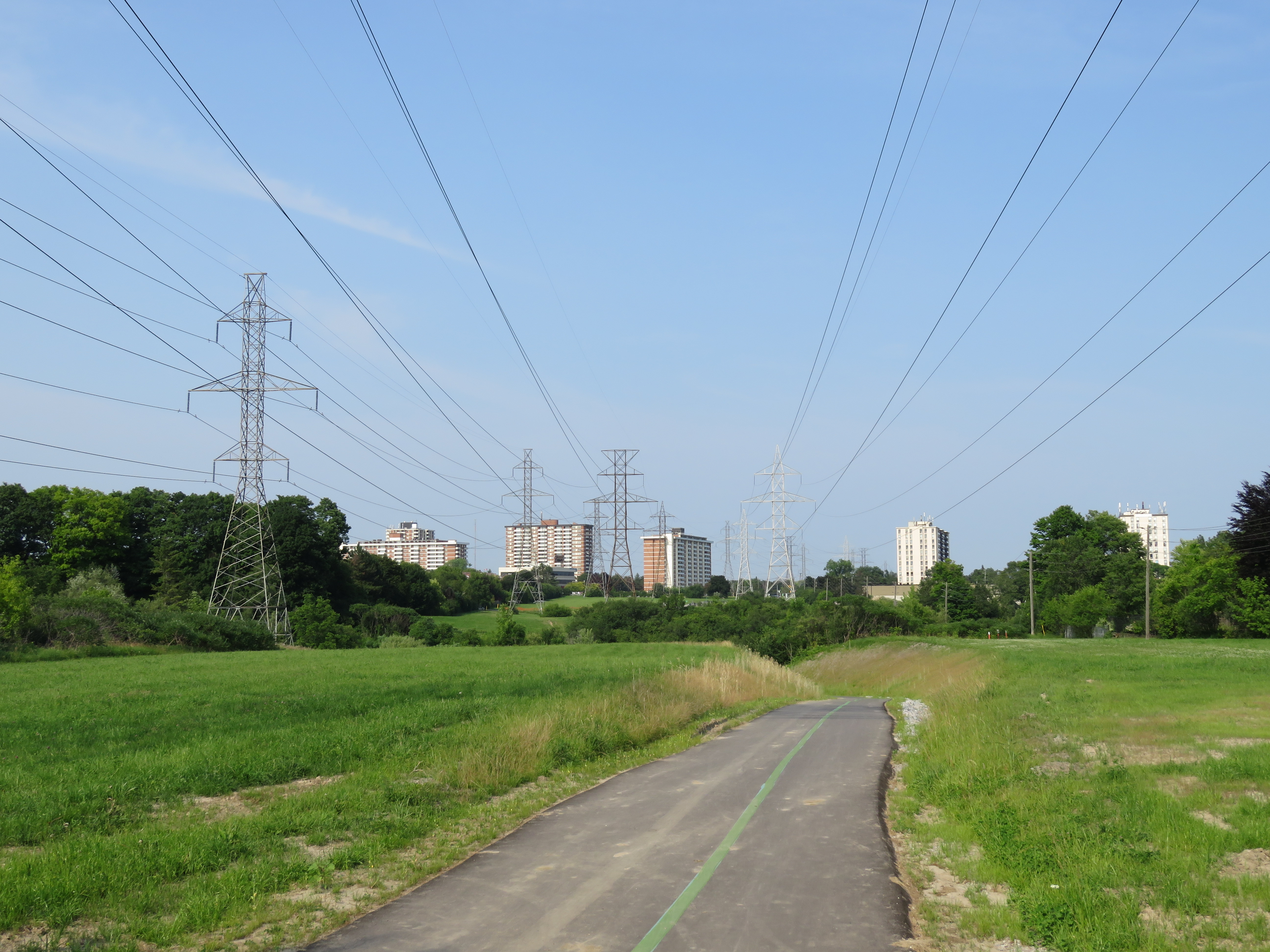
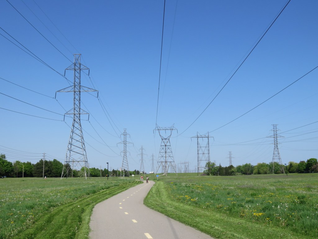
    IMG_2051-001Riding along the McNicoll hydro corridor in northern Scarborough
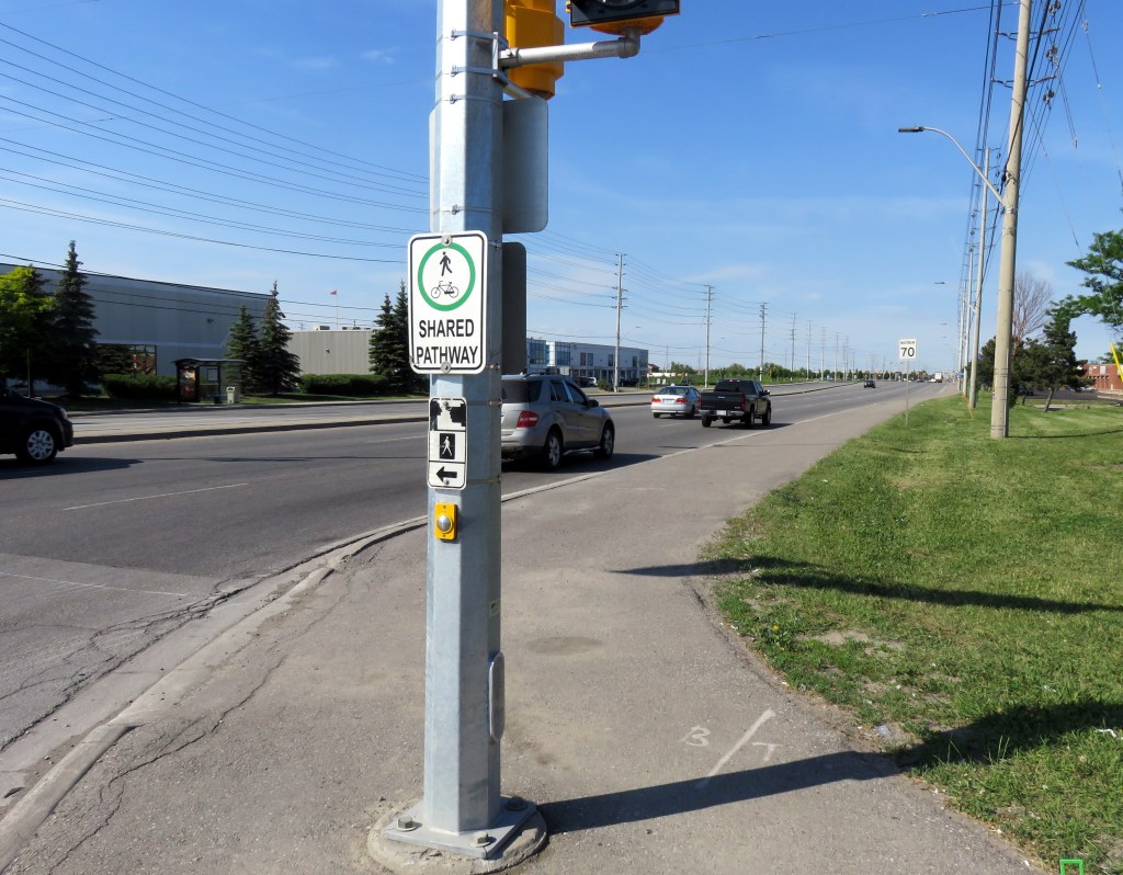
    Earlier this summer, I took two rides from my downtown apartment to suburban locations. On one ride, I biked northeast to Agincourt, on another trip, I biked to Downtown Brampton on a route that took me past the Humber River and Etobicoke Creek. I experienced different standards for on-street and off-road cycling routes. The City of Toronto generally does better, but suburban cycling infrastructure generally depends on off-road trails, rather than on-street bike lanes and cycle tracks.

    In the urban, central part of Toronto, bike lanes and cycle tracks (separated bike lanes located along major streets) are the predominant form of cycling infrastructure. While there are some bike lanes in suburban Toronto and in other municipalities like Mississauga and Brampton, most bike routes, if they exist, are off-road multi-use trails, in ravine or hydro corridors, or alongside major roads, like sidewalks.

    Multi-use paths are pleasant to ride on, but they’re often treated as recreational trails, rather than transportation corridors. Most paths are not cleared of snow in the winter (winter cycling really should be encouraged), and they are often isolated from the adjacent road network and local destinations, and they can meander, rather than follow straight lines. Road crossings can often be awkward.

    Bike lanes, which offer less protection from motorized traffic at least are integrated with the rest of the street grid, and are generally more direct. But on fast-moving suburban arterials, they aren’t ideal without separation. This is where the side-of-road path comes in.

    IMG_2305-001Shared pathway, Derry Road, Mississauga

    (more…)

  • On Toronto’s newest ten-year cycling plan

    The newly completed Finch Hydro Corridor
    The Finch Hydro Corridor

    The City of Toronto has released a new proposed Ten Year Cycling Network Plan, which establishes a minimum grid of cycling infrastructure across the entire city. It will be presented to the Public Works and Infrastructure Committee next week; city staff, who have worked long and hard on this project, consulting many stakeholders and members of the public, recommend its adoption by City Council. It will create over 500 kilometres of safer cycling routes, while connecting existing bike lanes and trails to each other. The plan would cost just over $150 million over ten years, a bargain.

    Of course, we’ve been down this road before. Only a fraction of the cycling infrastructure approved in previous plans has been built. And many new trails that were built — following hydro corridors and abandoned railways in suburban parts of the city — don’t connect to nearby ravines and parks. And railways and highways remain major barriers; there are only three places where the city’s designated cycling network crosses Highway 401.

    Last week’s Council approval of the Bloor Street bike lanes between Shaw Street and Avenue Road — a simple pilot project — didn’t look like a sure thing, even though it ended up voting 38-3 in favour.

    Deputy Mayor Denzil Minnan-Wong warned of “bike lane creep,” afraid that a safe bike route would extend to Danforth Avenue (which it should). And Councillor Stephen Holyday (Ward 3, Etobicoke Centre) ridiculously claimed cycling advocates were “trying to build a wall” around the downtown core, ignoring the fact that there’s a subway along the same corridor, which moves many times more people than two lanes of Bloor Street, and there are other options — such as the Gardiner Expressway, which we are needlessly committed to keeping up — for getting downtown with a car.

    Some of the highlights of the new plan:

    • Long distance cycling corridors, such as Bloor/Danforth from Etobicoke to Kingston Road in Scarborough, Kingston Road from the Beaches to West Hill, and Yonge Street from Downtown to Steeles Avenue.
    • New connections across railways, ravines and highways.
    • Extensions to popular off-road trails, such as the West Toronto Railpath.

    Highways are very dangerous for pedestrians and cyclists to cross: high-speed ramps are marked with signs telling pedestrians to wait for gaps. Cyclists must navigate cars quickly changing lanes and exiting freeways. And railways can create long, impenetrable barriers unless pedestrians trespass on railway property. I wrote about it at more length in Spacing.

    The worst example might be where Bridgeland Road ends on one side of the Metrolinx-owned Newmarket Subdivision (GO Transit’s Barrie Line) and Floral Parkway ends on the other side. Highway 401 conspires to make this an exceptionally bad case. Happily, this is one of the places where the city seeks to build a new bridge or tunnel to allow cyclists and pedestrians to cross safely, and I am glad to see other gaps addressed in this latest plan.


    An example of how railways and highways create barriers to active transporation

    There are four large maps (large PDF files) that show the existing cycling network and the proposed new routes. They correspond to the four community council boundaries.

    Toronto and East York
    North York
    Etobicoke-York
    Scarborough

    It’s not only important that City Council approve this new plan, it’s also crucial that proponents of active transportation keep on top of the city to actually build the new cycling infrastructure and multi-use paths and bridges. We’ve seen this play out before: council approves a great plan for cycling, for transit, for urban development, and then rests on its laurels. Let’s do better this time around.

  • Dispatches from Durham Region, and Kingston Road tokenism

    Two weeks ago, I was out exploring Durham Region, the eastern end of the Greater Toronto Area. While south Durham Region is mostly made up of generic suburban sprawl, there are some interesting historic villages and new urbanist neighbourhoods. North of Highway 7, Durham Region is still mostly rural, though plans for a new airport in North Pickering may change that.

    Sadly, Durham Region remains auto-centric in its outlook, even more so than other suburbs to the north and west of Toronto. The provincial government is constructing an eastern extension of Highway 407, with two new connecting highways to Highway 401 either nearly complete, or proposed. Oshawa, the largest city in Durham, is the birthplace of General Motors Canada, but while the auto industry declines, the city has been continuing to make many civic planning mistakes. And in Ajax, a small symbol of change – new bus and bicycle lanes – is still merely a token effort.

    (more…)

  • A ride through Midwestern Ontario, Part II

    IMG_6019-001The Cambridge to Paris Rail Trail, part of a network of rail trails that join together in the City of Brantford

    Previously in this blog, I described the first day of a two-day ride through Midwestern Ontario, between Guelph and Kitchener via West Montrose and St. Jacobs. I rode through Ontario’s only authentic covered bridge, along infrastructure created for both cyclists and carriages, and through several picturesque towns and villages.

    Midwestern Ontario is a term that I generally use to describe the part of the province west of the Greater Toronto Area, yet outside the flat, prairie landscapes of Southwestern Ontario (Essex, Lambton, and Kent Counties). The rural landscape is marked by gentle rolling hills, livestock and cash crop farms, as well as cities and towns adjusting to a post-industrial economy. Brantford was once the capital of Canada’s once massive farm implement industry, but now not even the factories remain. Kitchener-Waterloo’s diverse heavy manufacturing concerns have mostly left; but there’s now a strong knowledge economy. Galt (now part of Cambridge) and Paris straddle the Grand River, their grand stone churches and commercial blocks make these some of Ontario’s most picturesque.

    Electric and steam railways — the Grand River Railway, the Lake Erie & Northern, the Toronto, Hamilton & Buffalo, the Grand Trunk, the Canada Southern — tied many of these communities together; now highways do. But many those abandoned railways have found new purpose as hiking and cycling trails; Brantford is at the heart of this new network.

    The second day’s ride, on August 30, took me from Downtown Kitchener, where I stayed overnight, through Cambridge, I then followed the Grand River closely to Brantford. After a stop in Brantford, I took the former TH&B railway corridor into Downtown Hamilton, where I enjoyed dinner and refreshments before loading my bike on a GO Transit bus and rode back home to Toronto. I completed a similar trip in 2012; I wrote about that ride in Spacing.

    Photos and commentary follow.

    (more…)

  • A ride through Midwestern Ontario, Part I

    IMG_5885-001

    Just prior to Labour Day weekend, I went on a two-day bike excursion west of Toronto, starting in Guelph, staying in Downtown Kitchener, and finishing my ride in Downtown Hamilton. [Part II, Kitchener to Hamilton is here.]

    I find that cycling long distances, especially in the countryside, is valuable “me” time. I go at my own place, which is great, because I do not have the stamina nor the build for keeping up with seasoned road cyclists. In my opinion, well-maintained rail trails are excellent — there are no hills to climb, no traffic to deal with (except where the trail crosses busy country roads), and there is much peace and quiet. Fellow trail users are friendly, a nod, a hello, or a wave are normally exchanged by passing cyclists or pedestrians.

    On the first day of this 160-kilometre ride, I rode from Guelph, through West Montrose, Elmira, and St. Jacobs to Downtown Kitchener. I stopped at a covered bridge, rode through several charming small towns, sampled the beers of a craft brewery celebrating its second anniversary, and checked out some interesting cycling infrastructure shared by a very different form of muscle-powered transport.

    I don’t have a car, so planning rural rides are little bit more challenging. Happily, for most out-of-town ride I rely on GO Transit’s trains and buses, which provide an opportunity for one-way or “open-jaw” trips without worrying about the logistics of organizing shuttle rides. In the last few years, I’ve used GO Transit to get to/from Uxbridge, Lindsay and Peterborough, Hamilton (and on to Port Dover by bike), Niagara Region, Georgetown and Newmarket, and Barrie (and on to Orillia and Midland), these cities served by GO are all great places to start or finish a ride.

    IMG_4943-002Downtown Guelph. The Basilica Church of Our Lady Immaculate dominates McConnell Street (photo taken earlier this year)

    On a pleasant Saturday, I loaded my bike on the rack took a GO bus from the Union Station Bus Terminal to Guelph, a long bus ride that took nearly two hours. GO Transit’s buses are quite comfortable; if you’re planning to bring a bike along, just be sure to arrive early to make sure you get one of the two bike rack spots.

    (more…)