The City of London, Ontario has been quietly constructing a new bus rapid transit (BRT) system over the last few years, which will extend south and east of the downtown core. By the end of April 2025, the first major section of this network will begin operation.
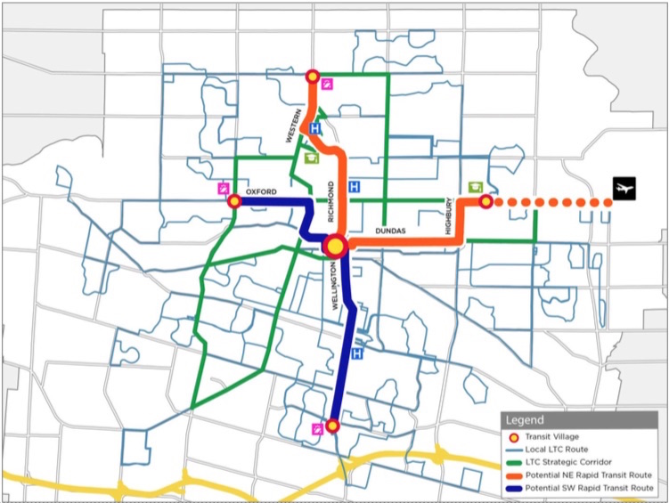
The Wellington Road and Fanshawe College segments are two of the four rapid transit routes originally proposed under London’s SHIFT. At first, a north-to-east line, connecting Masonville Place Mall, Western University, Downtown London, and Fanshawe College, was to be a light rail corridor, featuring a short tunnel under Richmond Street to avoid a busy freight railway crossing. A BRT line would have connected the west end of London, at Oxford Street and Wonderland Road, continued downtown, and head south towards the Victoria Hospital campus and White Oaks Mall near Highway 401. The map below shows the initial proposal.
Due to budget constraints, the project was revised to a BRT-only scheme. The Richmond Street leg, leading north to Western University, was cut when the bus tunnel under the CPKC railway and the Oxford Street intersection was deemed to cost $220 million in 2017. Business owners along Richmond Street, a busy restaurant, nightlife, and shopping district known as Richmond Row, were also opposed to the reduction in traffic lanes that the transit tunnel would have required.
This section of Richmond Street — used by eight London Transit routes — is a severe bottleneck as it is not only a busy traffic corridor, it crosses CPKC’s mainline connecting Toronto, Windsor, and the US Midwest.
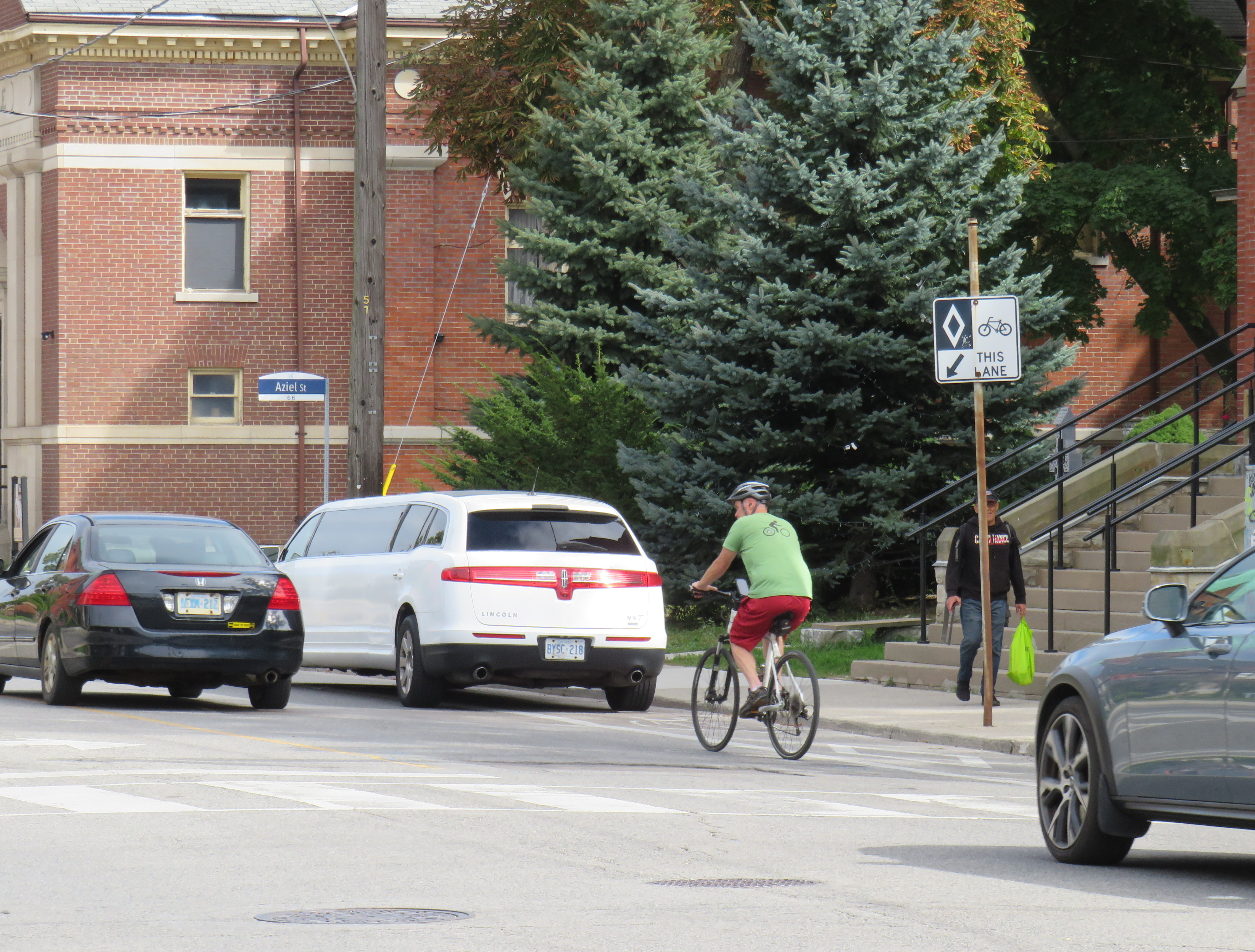
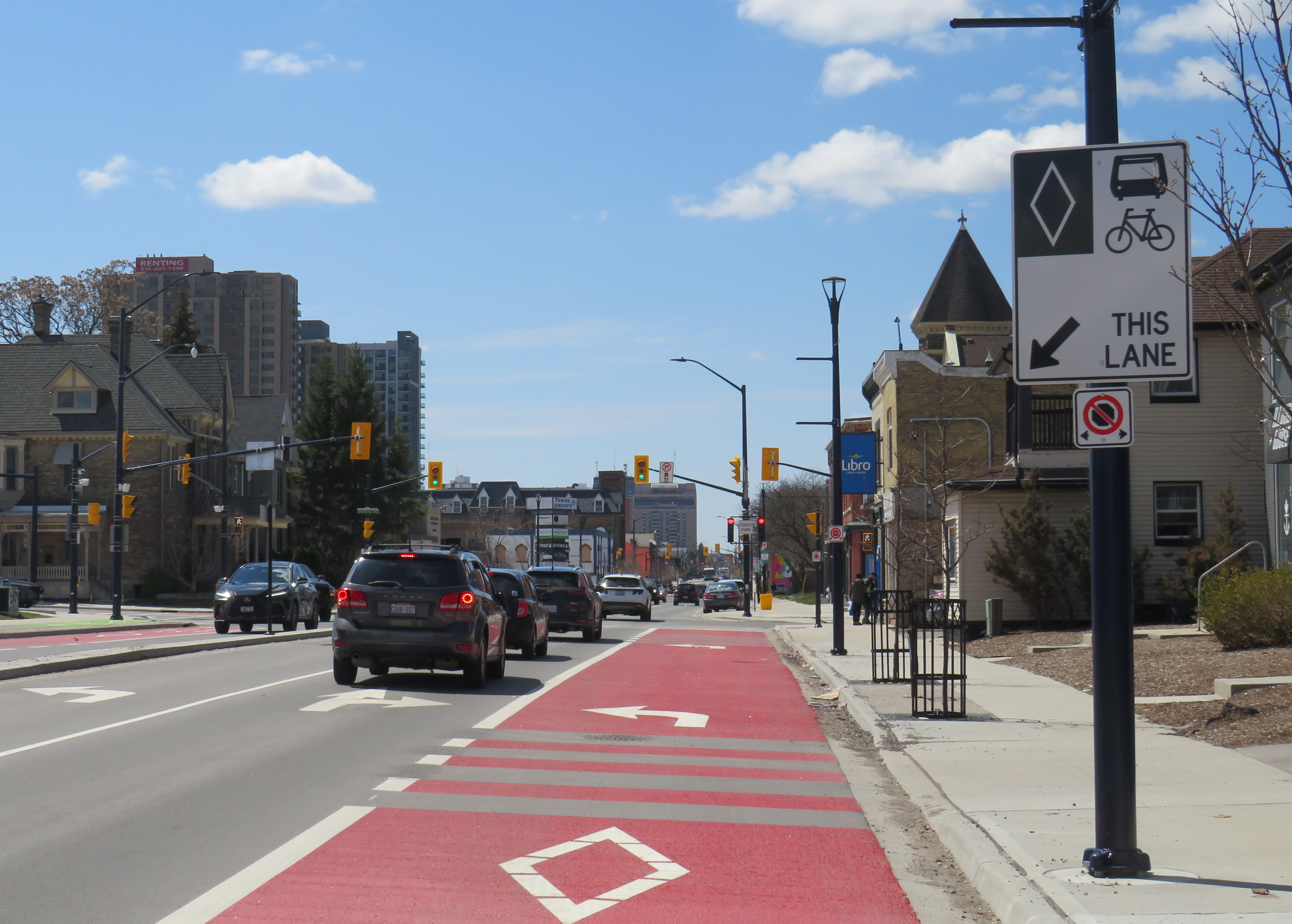
The pared-down BRT project consists of a curbside bus-only lane encircling the downtown core, following King Street, Wellington Street, Queen’s Avenue, and Ridout Street. At each turn, buses must wait for a dedicated signal to make the left turn to continue on the loop. Right now, buses do not have any signal priority, and can wait a full light cycle (up to two minutes) to get the dedicated left turn signal.
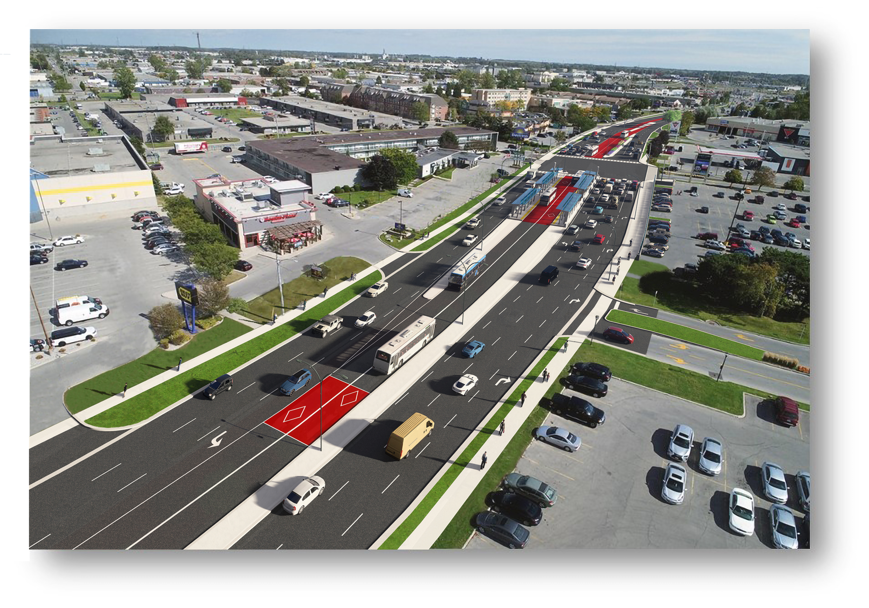
New enlarged shelters and long platforms allow multiple buses to pick up and drop off at each stop; most routes heading through downtown will serve at least one of these new bus stops on their routes. All buses were removed from Dundas Street, which has been re-landscaped to create a more pedestrian-friendly commercial environment called Dundas Place.

On April 28, Route 94, a weekday express route between Argyle Mall in London’s east end, Downtown London, and Western University, will begin operating in both directions on King Street, and will be the first route using the bus infrastructure outside the downtown loop. King Street was originally a one-way, two-lane-wide roadway east of Downtown London, but was recently widened to allow for painted bus lanes in both directions.
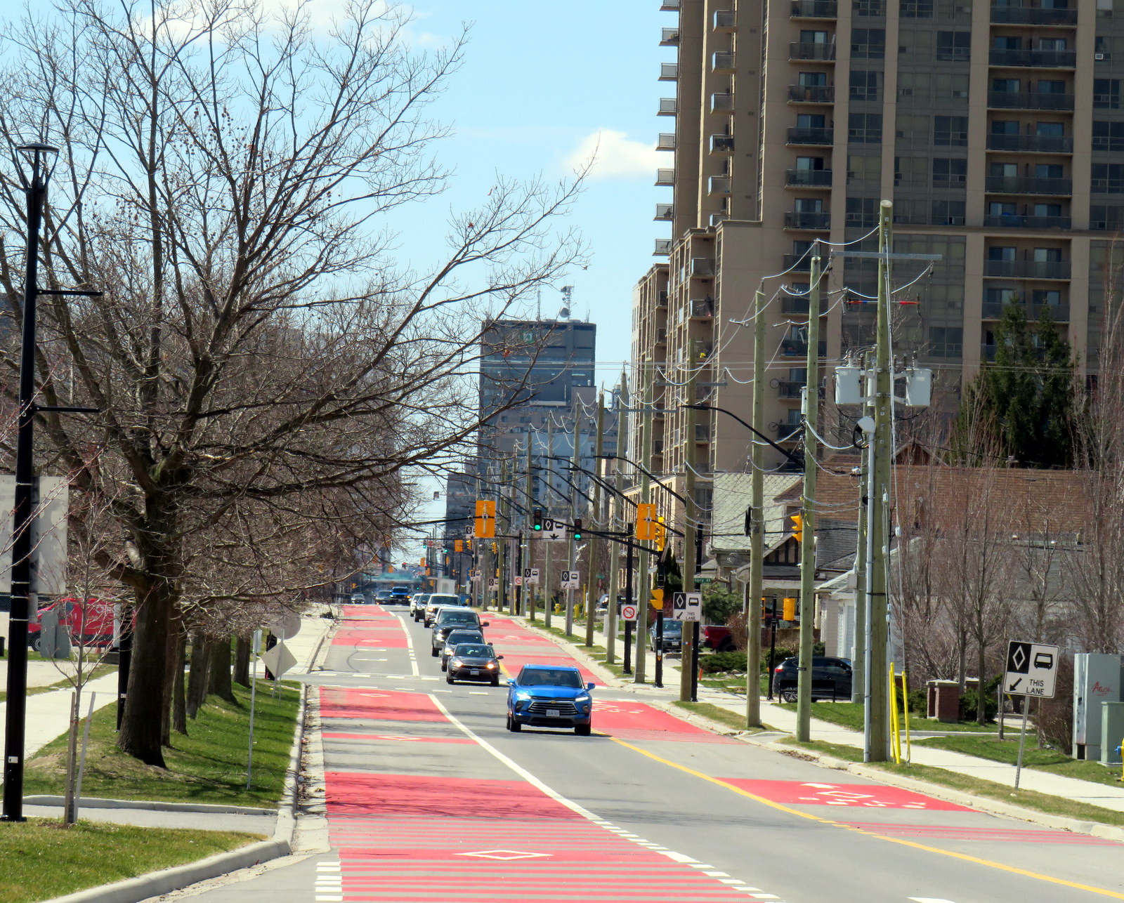
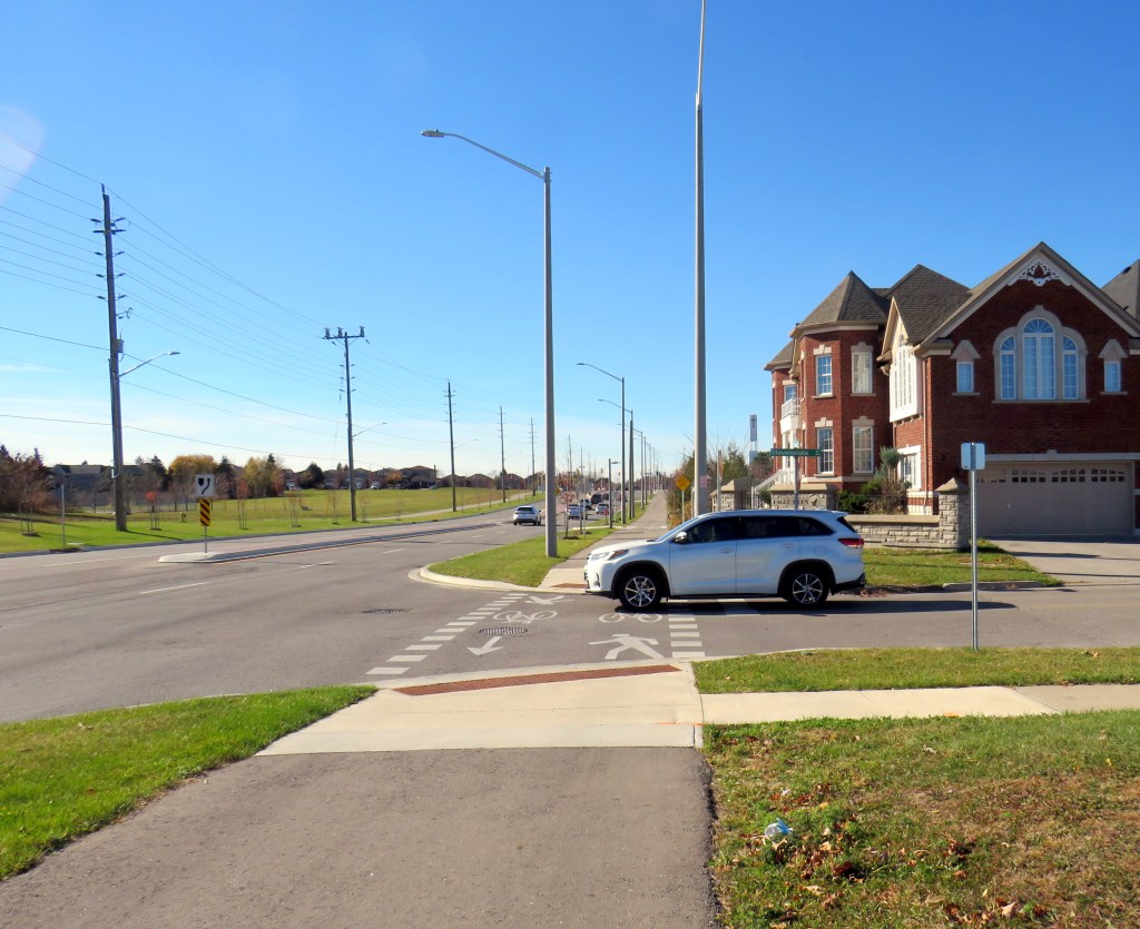
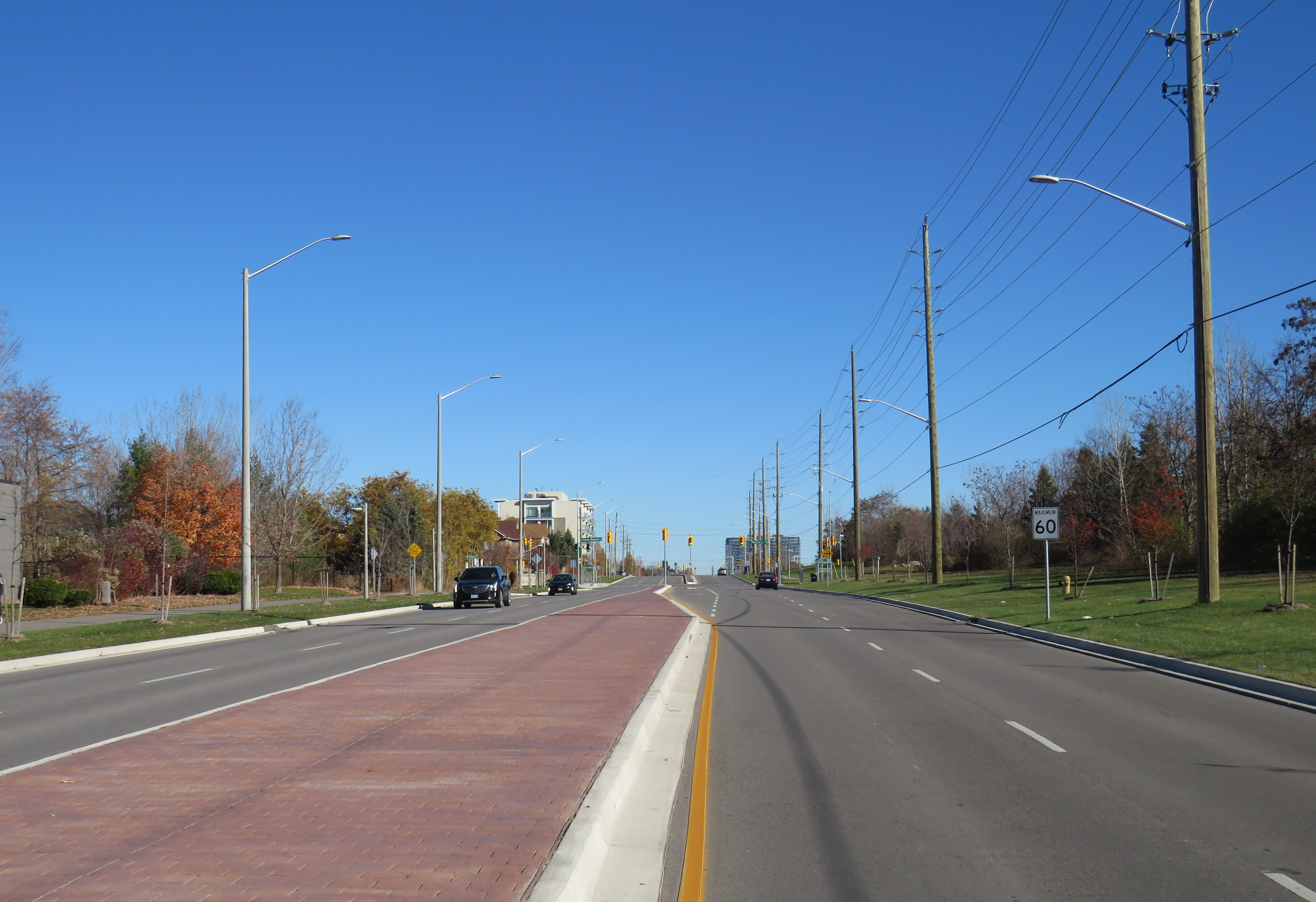
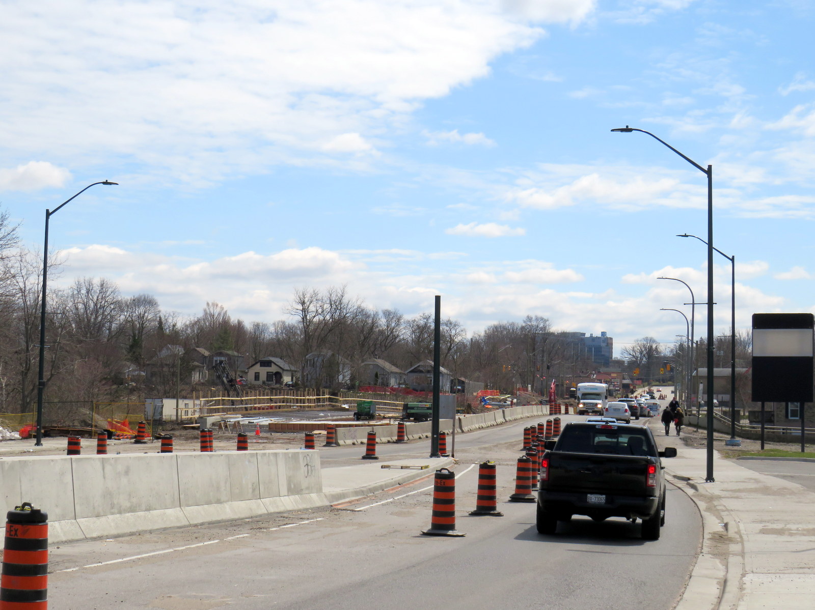
Work is far from complete. Utility work and road reconstruction continues on Dundas east of Ontario Street (at the Western Fairgrounds) and on Highbury Avenue north to Oxford. Construction of the BRT median on Wellington Street/Wellington Road south is also ongoing.
The cost of the BRT project has risen to at least $454 million, and that does not include the north or west segments. Service levels have yet to be determined, along with transit route restructuring once the east and south segments are complete. The new station shelters will not have off-board fare payment equipment, so unless policy changes, all transit riders will still have to enter the bus from the front door.
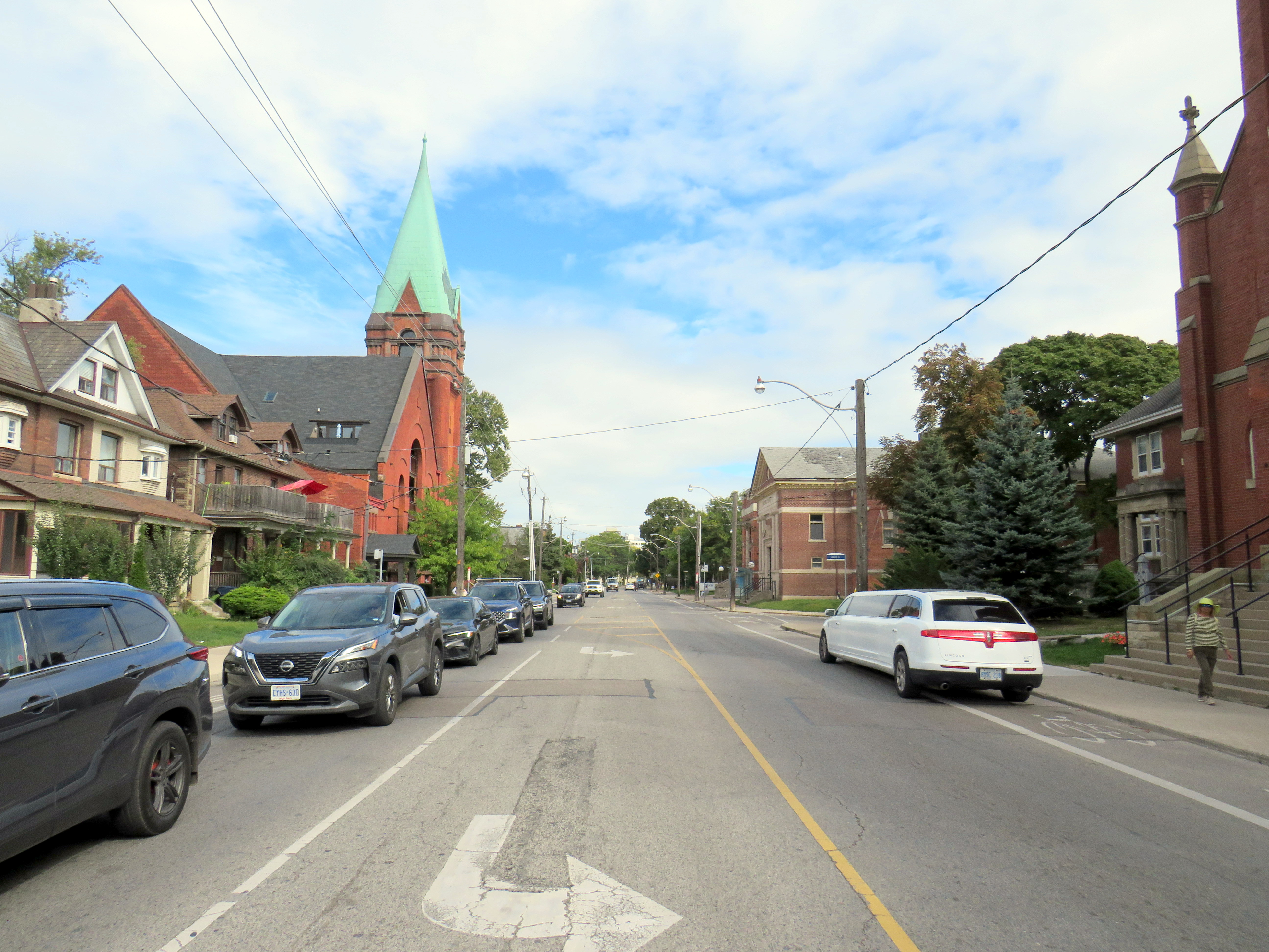
Entering and leaving downtown along Wellington Street, south BRT buses will still have to squeeze through an older four-lane railway underpass in mixed traffic, limiting bus throughput. The lack of a northern segment between Downtown, Western University, and Masonville Place Mall is another major downfall.

Though it is hoped that London’s Rapid Transit project will help shape development — much in the same way Waterloo Region’s Ion LRT has — the cost-cutting will limit this potential. The Wellington Road BRT median might help improve bus reliability along a congested traffic corridor, but the lack of signal priority — plus the railway underpass bottleneck — will not help. Western University students will still have to endure a slow ride north from downtown, reducing the attractiveness of Wellington Street, currently littered with big-box stores and strip plazas, as a place to build up with private mixed-use development. Perhaps the eastern segment on King and Dundas Streets, serving the regenerating Old East Village neighbourhood, will be more successful.