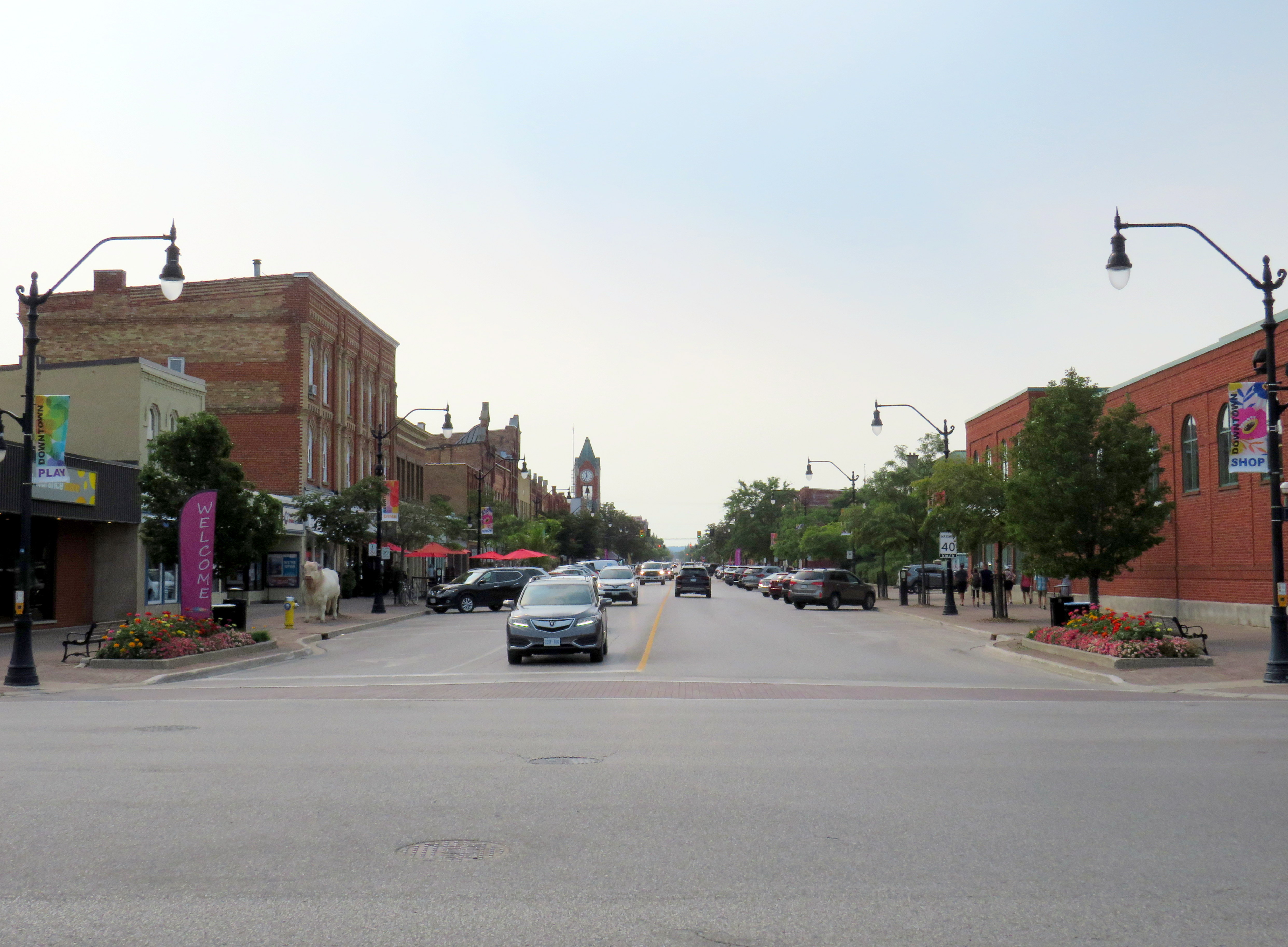
Across Canada, our biggest cities are building new transit. Here in Toronto, the Crosstown and Finch West LRTs are well underway (though the first phase of the Eglinton-Crosstown is already three years late), as well as the Scarborough subway expansion, the Ontario Line, and GO Transit corridor improvements. Vancouver is building a major expansion to its Skytrain network, the Broadway Subway. Ottawa, Calgary, and Edmonton are all expanding their LRT networks. And in Montreal, the first phase of the Réseau express métropolitain (REM) will open for service, while major work on the Blue Line Métro extension has just begun.
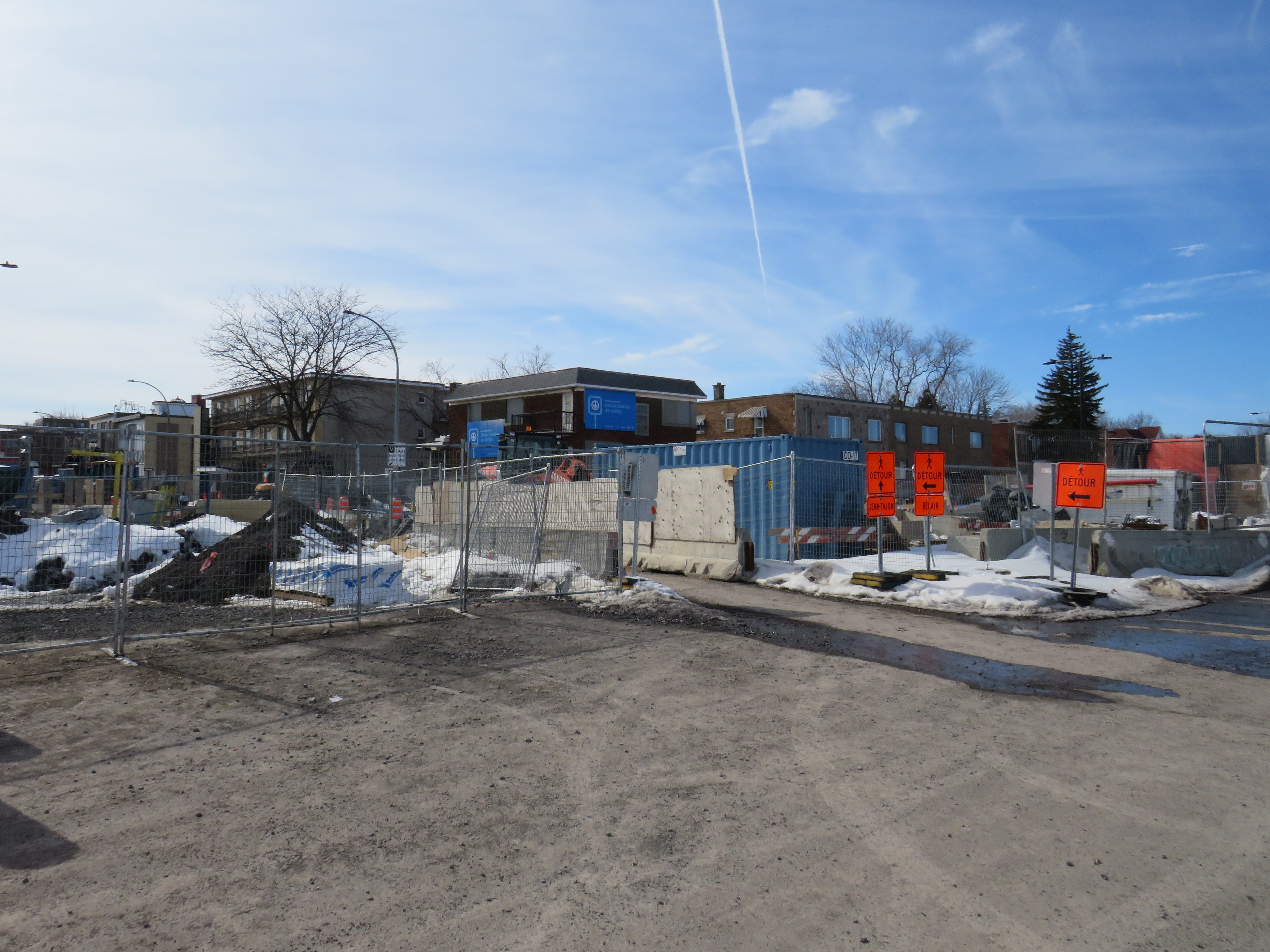
While Greater Montreal has been busy with rail transit projects, it has also opened two new busways: on Boulevard Le Corbusier in Laval, and on Boulevard Pie-IX on Montreal’s east side. The Laval busway was completed in late 2017. The SRB Pie-IX corridor was mostly completed by the end of 2022, though a section near Boulevard Jean-Talon remains under construction for the Blue Line Métro extension.
Laval’s Boulevard Le Corbusier
Laval, a sprawling suburban municipality immediately north of Montreal Island, has a population of over 400,000. Though the large island has several historical town and village centres, the municipality is mostly made up of suburban subdivisions, shopping centres, low-rise apartment buildings, crisscrossed by several autoroute highways, including the A-13, A-15, A-19, A-25, and A-440. Despite the post-war sprawl and auto infrastructure, the far eastern end of the island remains largely agricultural.
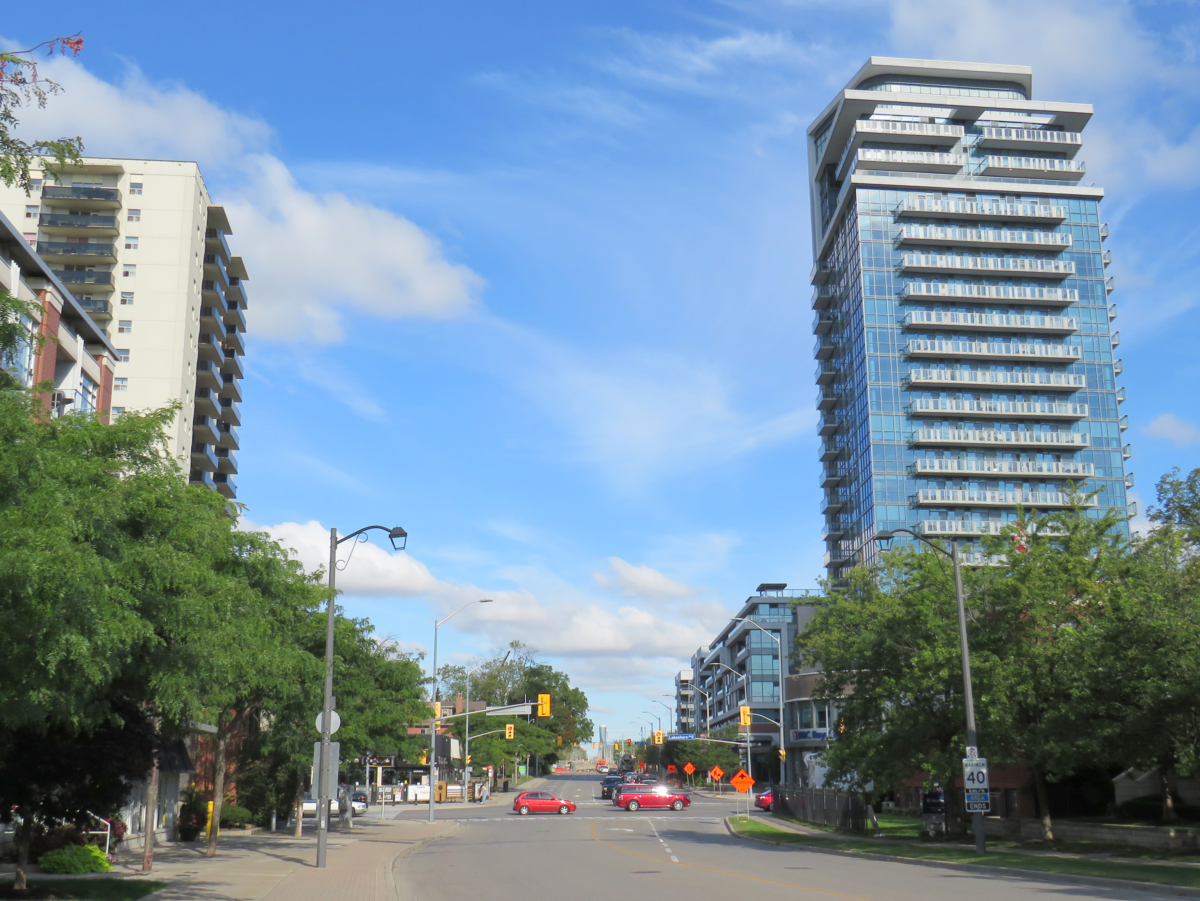
After the extension of the Orange Line Métro into Laval in 2007, the city of Laval has worked towards urbanizing its geographical centre into “Centre-Ville Laval.” Laval’s new downtown core would consist of new and expanded educational institutions, new cultural and entertainment venues, office and high-tech employment, along with new higher-density, urban-scaled residential development. The new city centre would be focused on Boulevard Le Corbusier northward from Montmorency Métro Station, in an area lined with aging commercial properties.
During my March visit to Laval, some of the progress on Centre-Ville Laval was evident. A new sports and concert venue, Place Bell, opened in 2017, luring the Montreal Canadiens’ AHL affliate from St. John’s. (Place Bell should not be confused with Centre Bell, the home of the Canadiens, also located on the Orange Line). The Université de Montréal also opened a suburban campus next to the Métro station. Slowly, mid-ride condo buildings were built on the south end of Le Corbusier, within walking distance from the campuses and transit links.
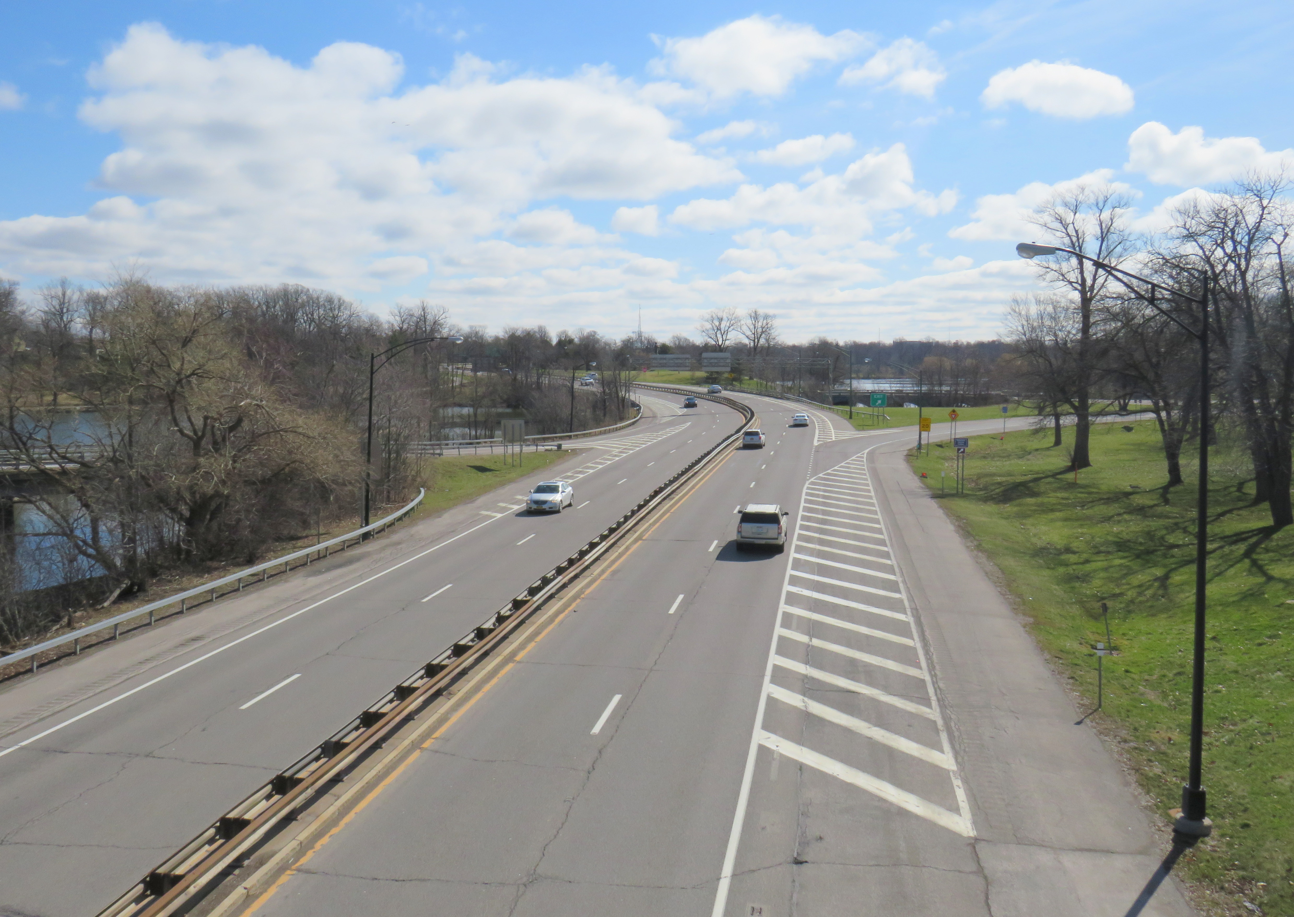
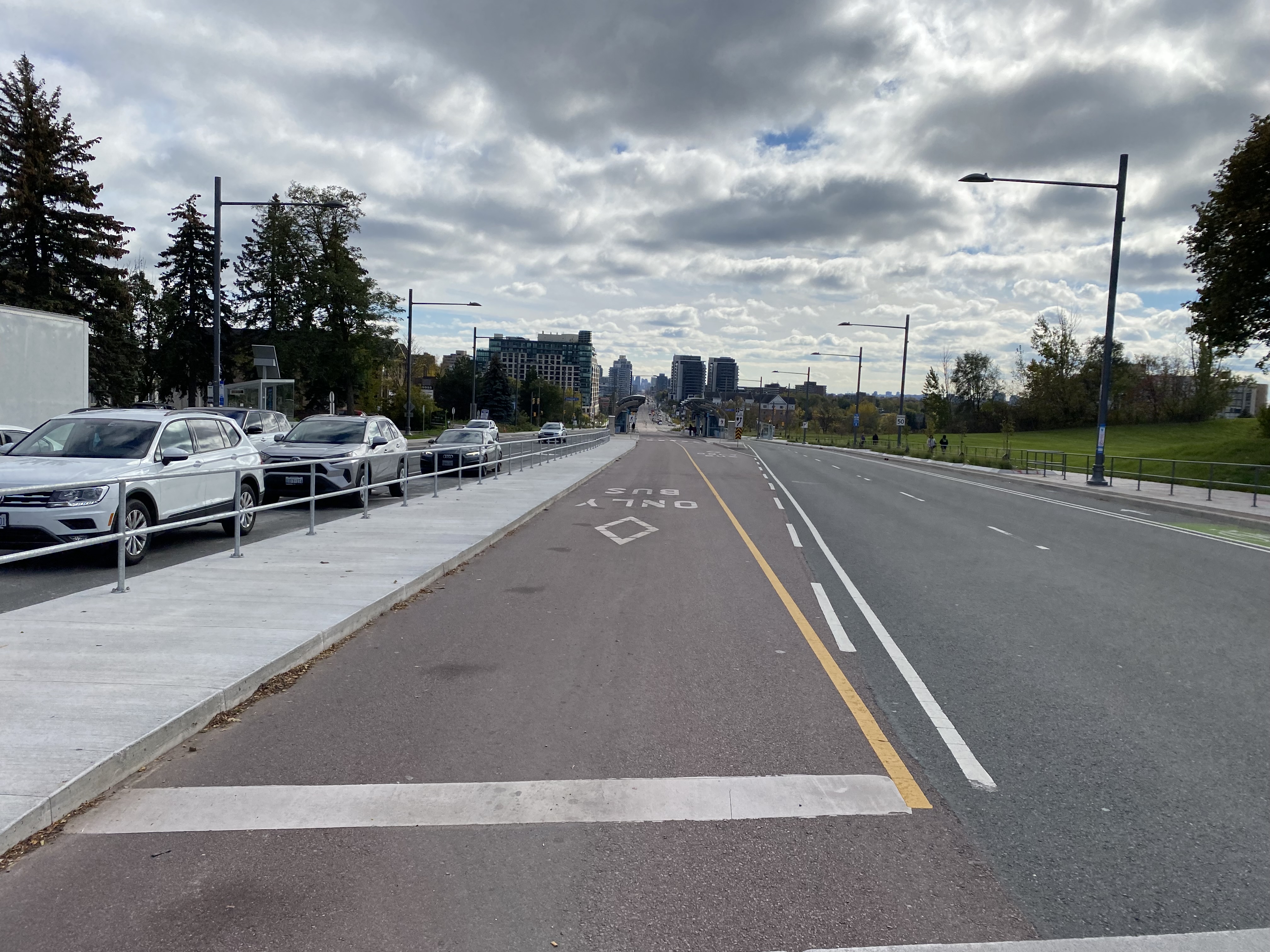
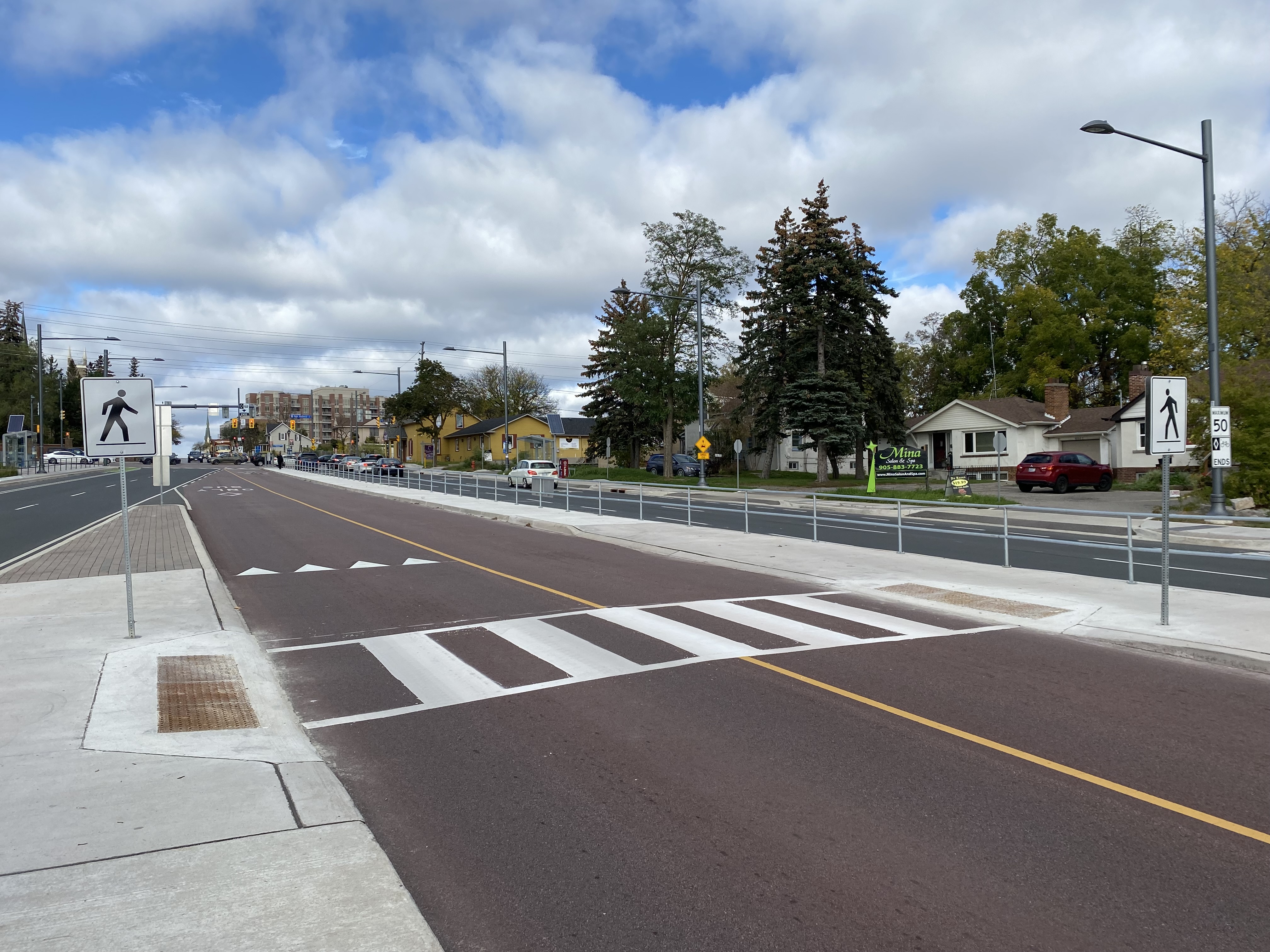
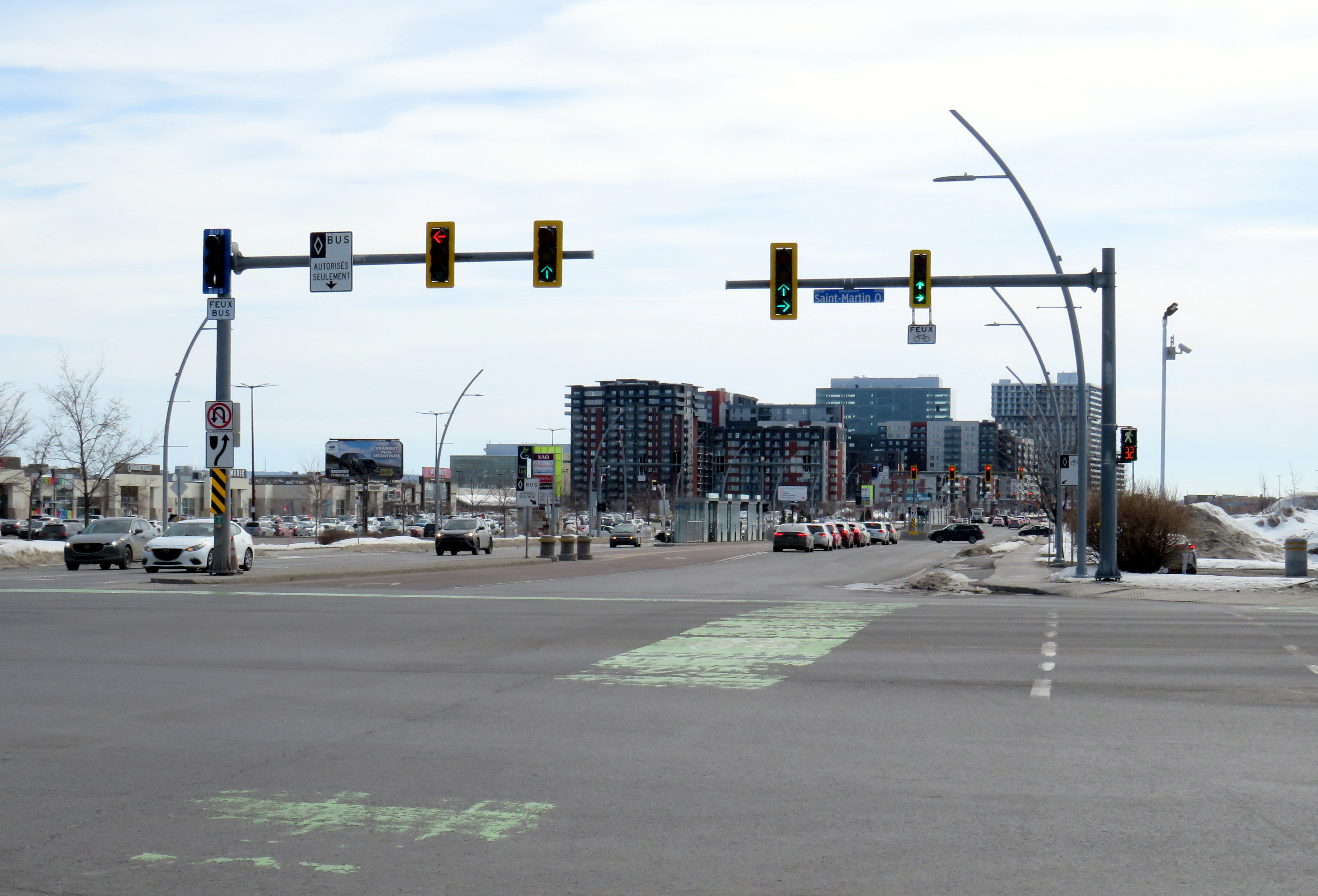
To support the planned growth of Laval’s city centre, a new busway was built northward, towards the massive Carrefour Laval shopping centre, a Cadillac Fairview-owned mall that dominates Montreal’s north suburbs. The busway passes between older, smaller shopping malls, such as Centre Laval and Galleries Laval, which will one day get redeveloped. Building the new busway, along with semi-protected cycling lanes, was clearly a way of indicating the municipality’s urban planning goals.
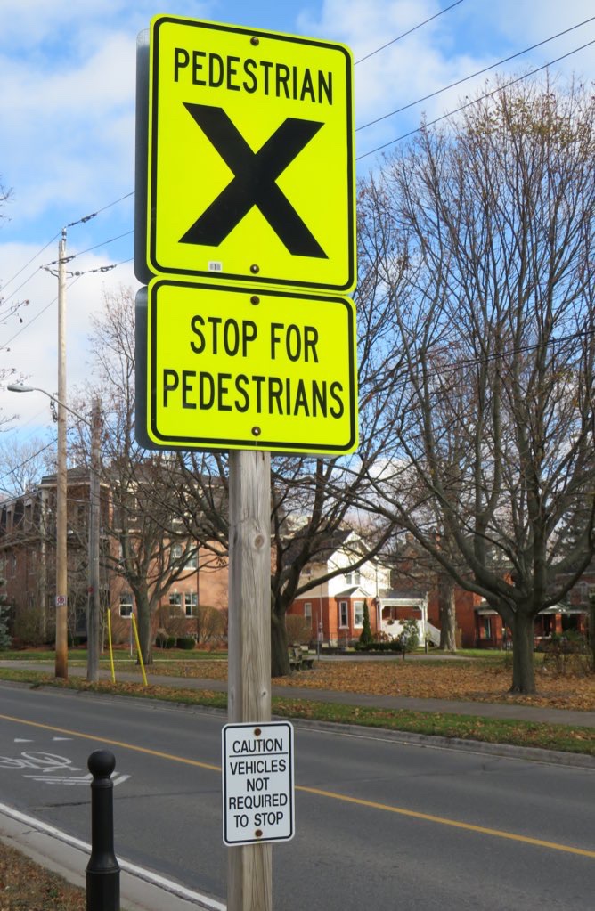
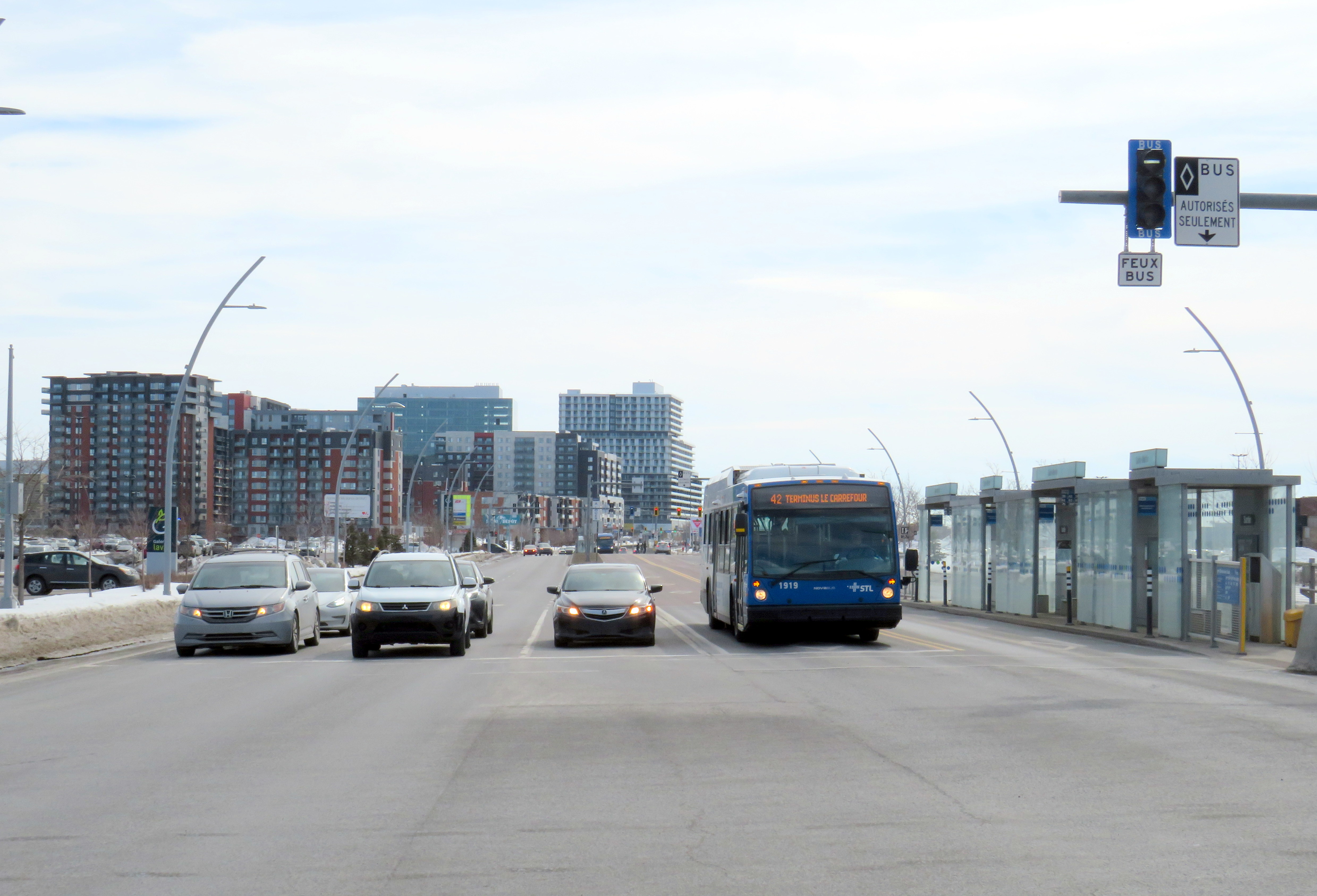
Unfortunately, the Laval busway reminded me of the things I disliked most about York Region’s Viva Rapidways. For one, the Laval busway doesn’t speed up bus service. It is only one kilometre long, and does not properly connect with either the bus terminal at Montmorency Métro or the bus terminal across the street from Carrefour Laval. Buses must re-enter mixed traffic at both ends of the route. As in Toronto and York Region, left-turning cars are prioritized at each traffic light, and there was no apparent transit priority.
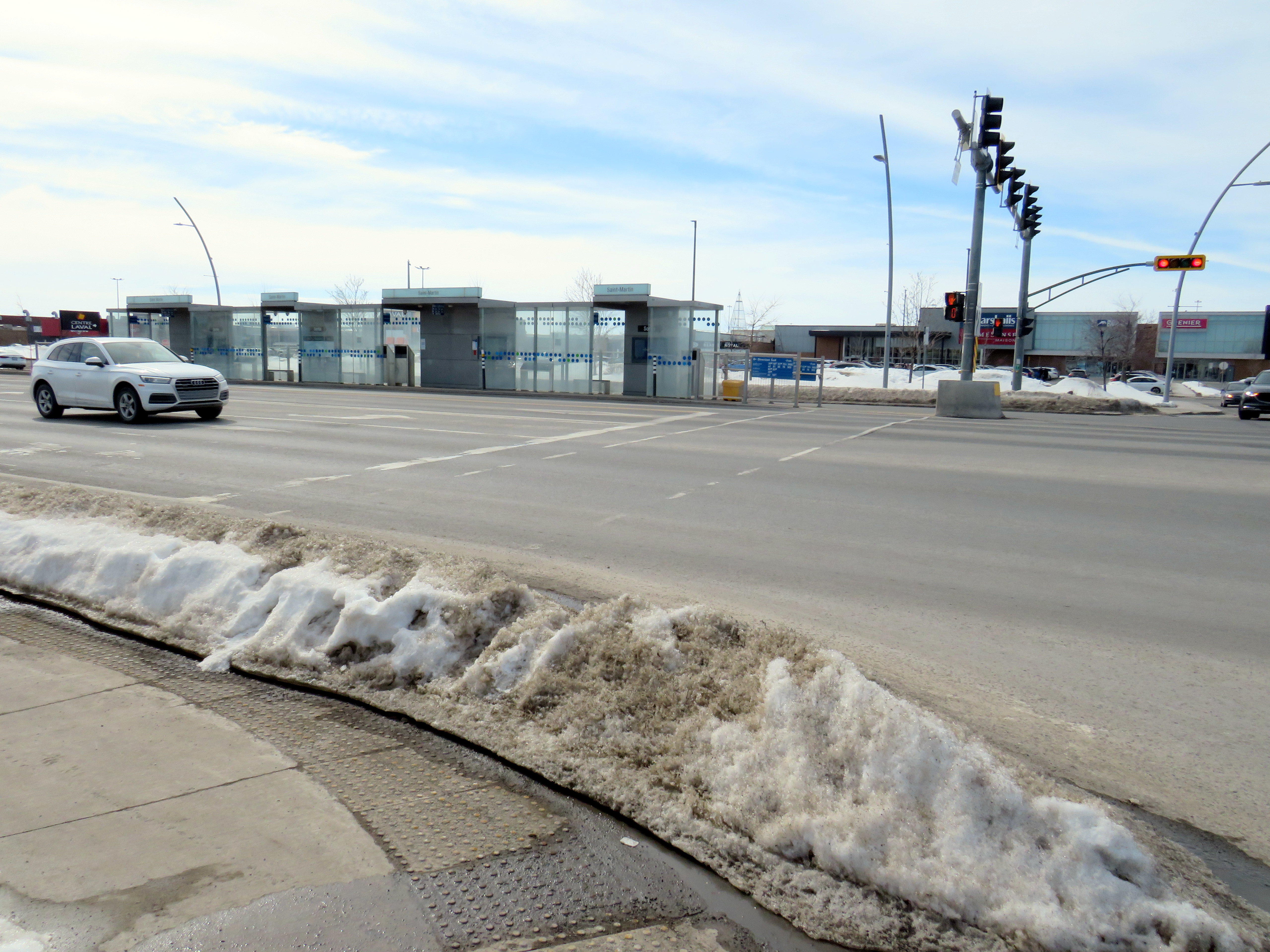
The median bus stops are also difficult to get to. Despite many days since Montreal’s last significant snowfall, and bone-dry sidewalks and roadways, the curbs and crosswalks were left uncleared. This forces pedestrians to either mount the piles of old, packed, crusty snow, or divert into the roadways to cross the street. The bike lanes were merely a convenient snow storage space.
For a Saturday morning, transit service on the busway was adequate, but not especially impressive. The Société de transport de Laval, the municipal transit agency, operates a free shuttle bus on weekends, holidays, and summer weekdays between Montmorency Métro and Carrefour Laval every 20 minutes. Otherwise, bus service was sporadic despite multiple routes using the busway: two or three buses would come at once, followed by a gap of 10 or 15 minutes.
Quebec’s unique traffic signals were both interesting for out-of-province visitors and frustrating for pedestrians. In Ontario and most other jurisdictions, a right green arrow indicates absolute right-of-way for right-turning motorists. In Quebec, it merely indicates that motorists have a green signal to turn right, regardless of conflicting movements. Outside of Montreal, motorists are permitted to turn right on a red light, unless signed otherwise. This is not great signalization, especially on high-speed suburban roadways.

However, bus signals are unmistakable from general traffic signals, with white bar aspects (and a white triangle instead of an amber light). That’s one thing that is done better than here in Ontario.
Montreal’s SRB Pie-IX
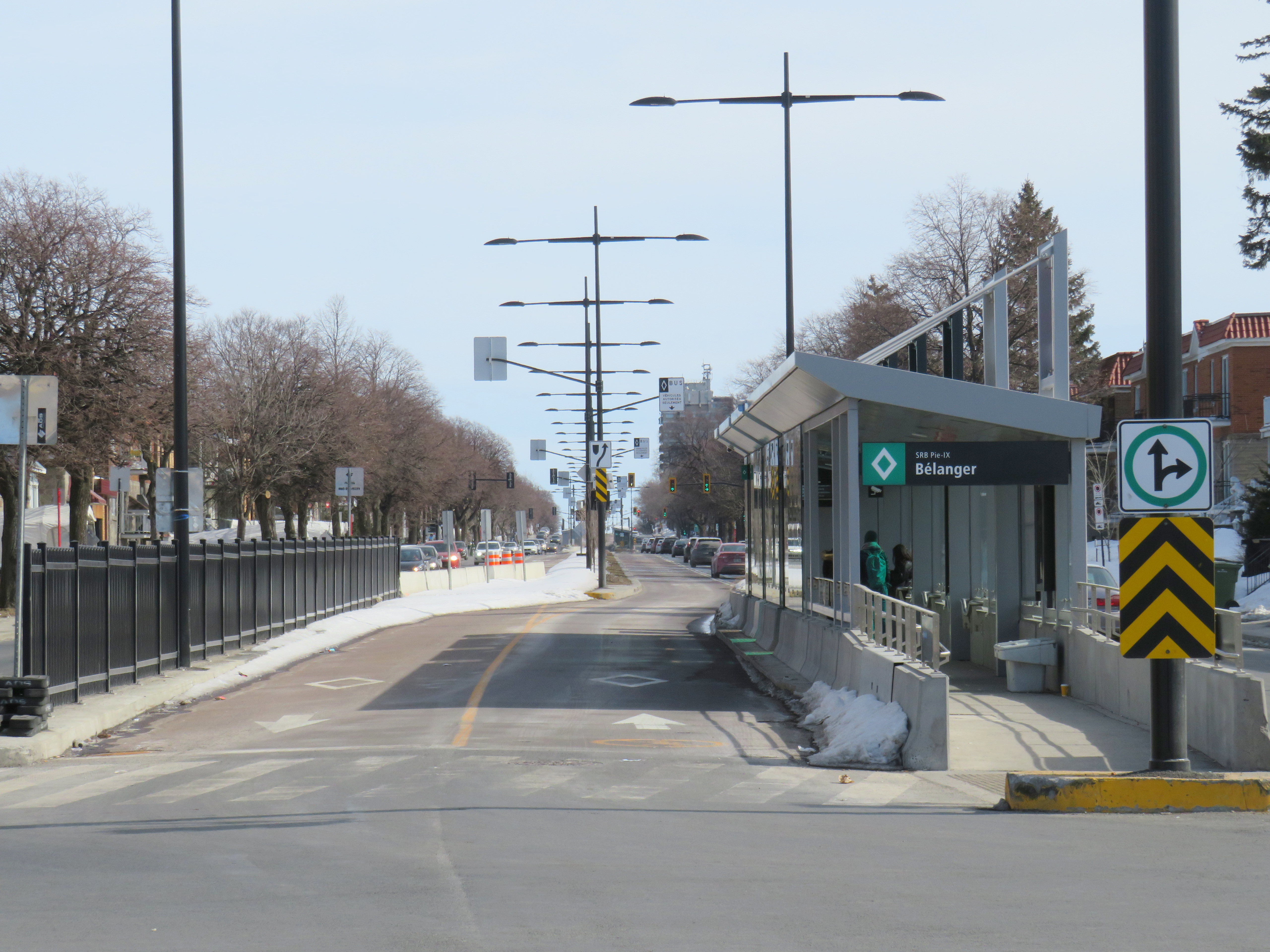
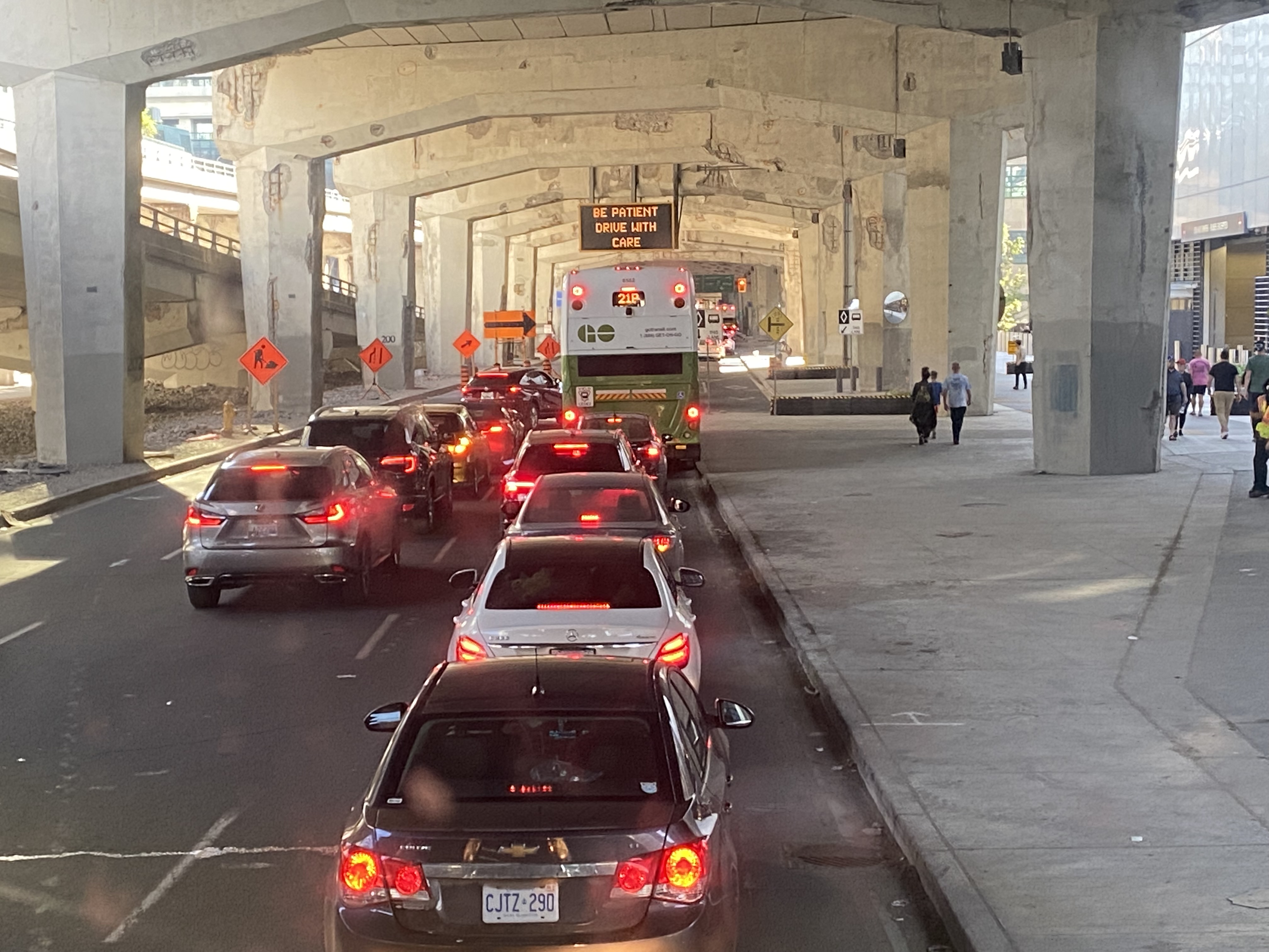
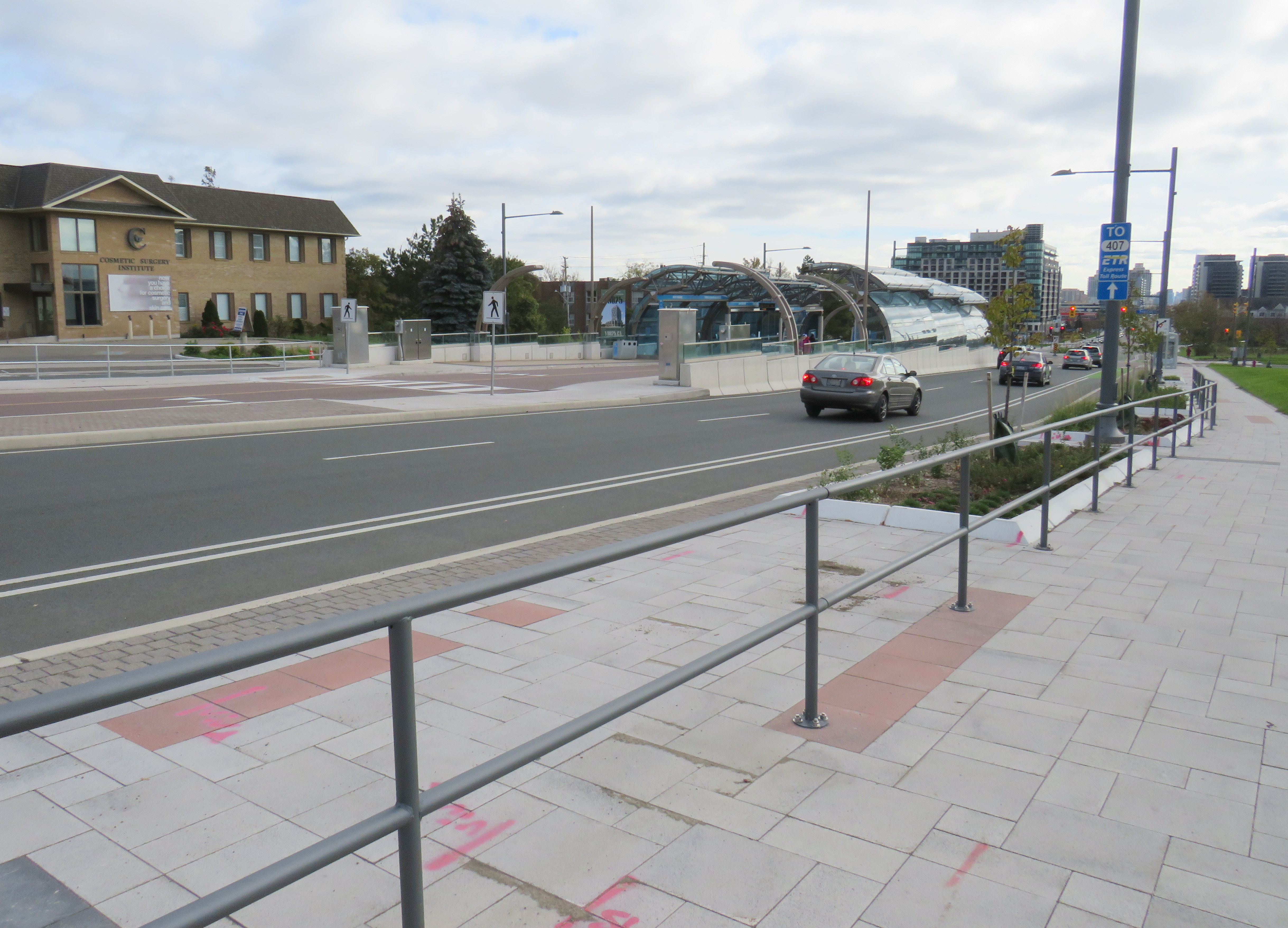
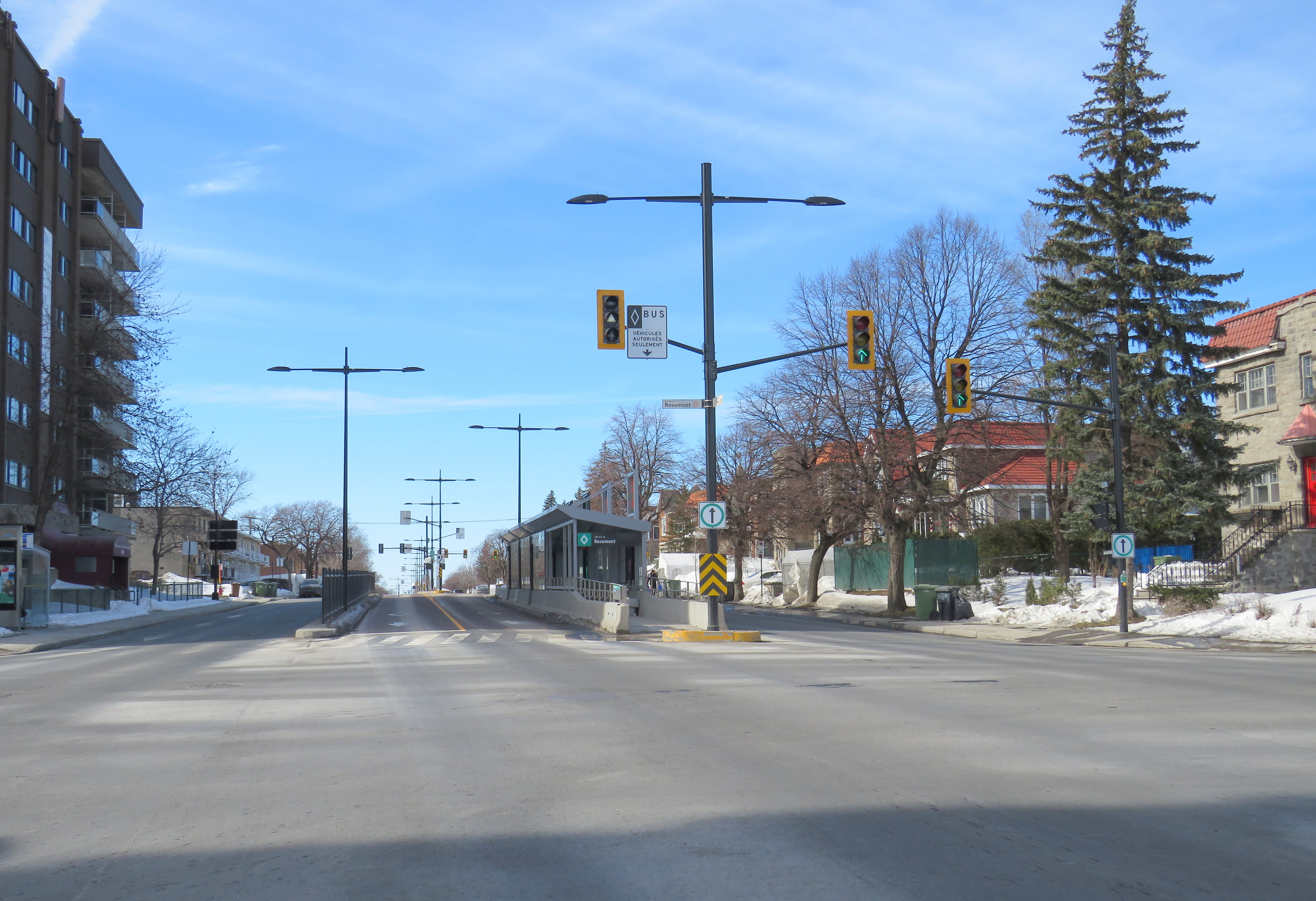
The SRB (BRT) corridor on Montreal’s Boulevard Pie-IX, which I visited later the same day, was a welcome contrast to Laval’s implementation. Boulevard Pie-IX (named for Pope Pius IX, the founder of the dogma of papal infallibility), is a wide north-south boulevard on Montreal’s east side, passing through Hochalaga, past Olympic Stadium and the Botanical Gardens, all the way into Laval. It’s a busy bus corridor, feeding into the Métro Green Line as well as the future extension of the Blue Line to Anjou.
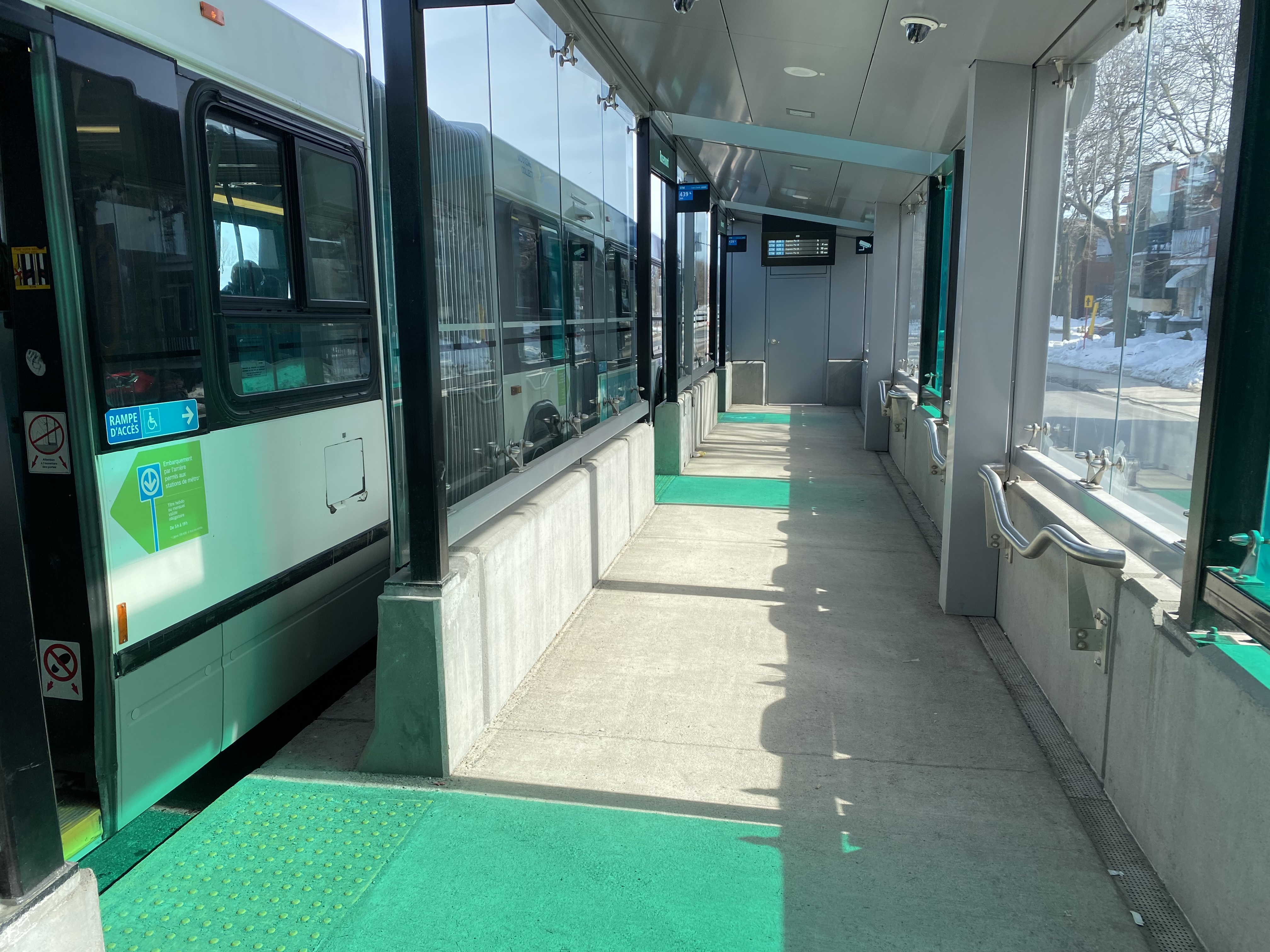
The 439 SRB route parallels the local 139 Pie-IX bus, and like other median busways, passengers board and exit at stops at the far side of the intersection. Though there is no fare pre-payment, passengers are permitted to board at rear doors with a valid Opus card or ticket. Shelters are simple, but the stained green glass lines up nicely with the gaps where the bus doors open.
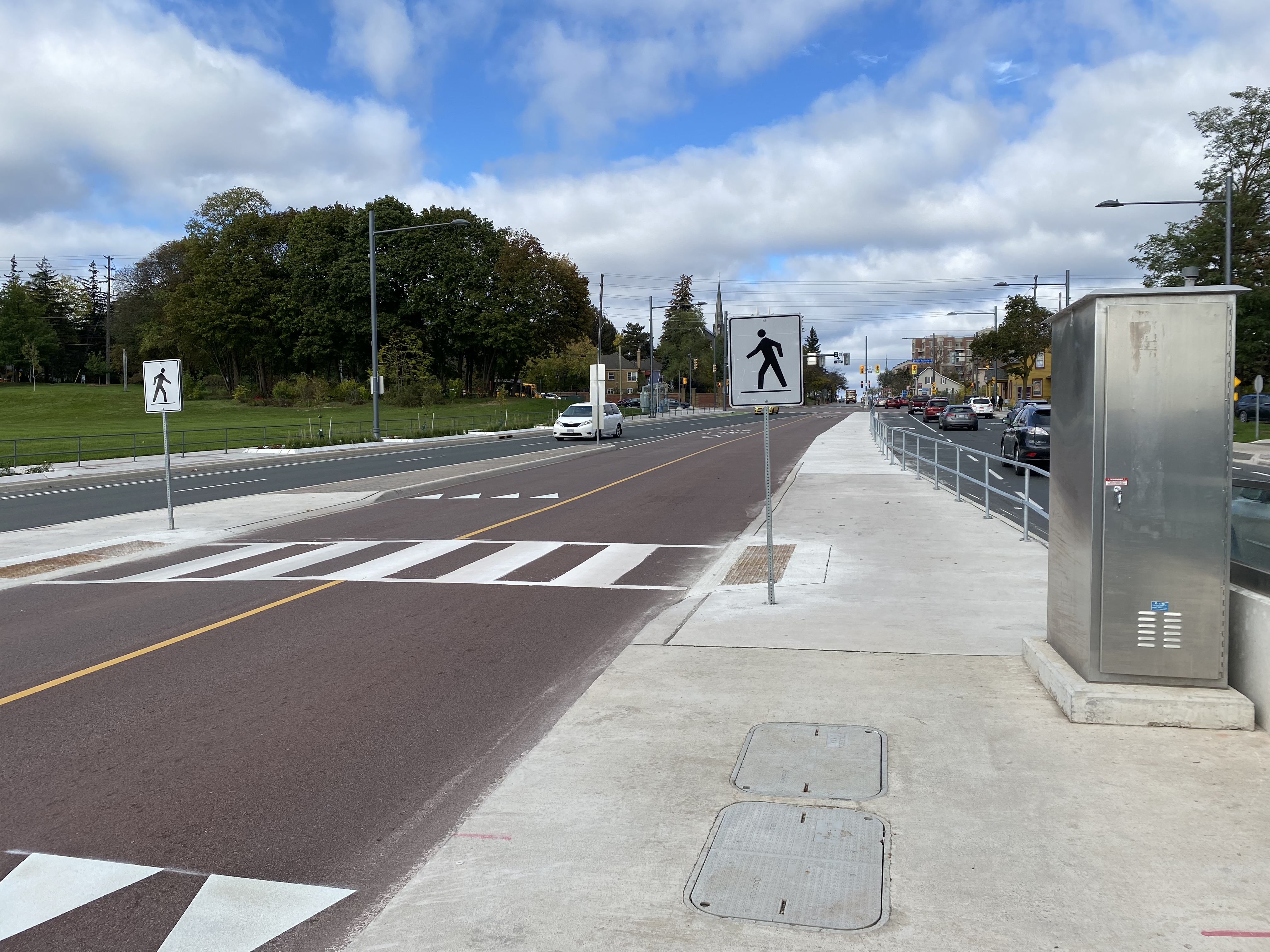
Unlike median busways elsewhere in Ontario or Quebec, buses are not slowed down by left-turning motorists as left turns are prohibited along the entire SRB corridor. This simplifies operations, allows for easier transit priority, and reduces the space required at intersections for dedicated left turn lanes. Unlike Laval, the crosswalks in Montreal were cleared and easy to traverse in winter.
The current bus rapid transit alignment replaces an older, more dangerous set up where there was a central median where the inner lane was dedicated to buses in the opposite peak (contraflow) direction during weekday rush hours. Buses assigned to Pie-IX were equipped with special flashing arrows to warn oncoming motorists, along with overhead lights indicating the lane restriction. After several serious collisions, the arrangement was abandoned.
Once again, Montreal shows how buses can be sped up without compromising safety or road space. Restricting left turns along the entire corridor was the right choice, and a solution that should be considered along some of Toronto’s busiest bus corridors as well.
Finally, rapid transit corridors on arterial roads are reliant on walk-up traffic, and should therefore be as easy and safe as possible to walk up to the transit service. This means effective and quick snow removal at crosswalks, pedestrian priority (there should be no beg buttons to push to access BRT/LRT stops), and proper pedestrian infrastructure and a walkable realm. The Viva Rapidways and the Laval Boul. Le Corbusier fail this basic criteria, while Montreal does a better job.
As Greater Toronto area plans more arterial LRT and BRT corridors, such as on Dundas Street in Mississauga/Oakville, and on Queen Street in Brampton, it would be wise to put transit and active transportation first, even if it means sacrificing a few left turn lanes.