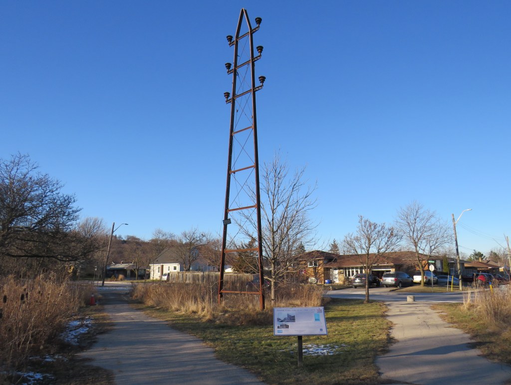
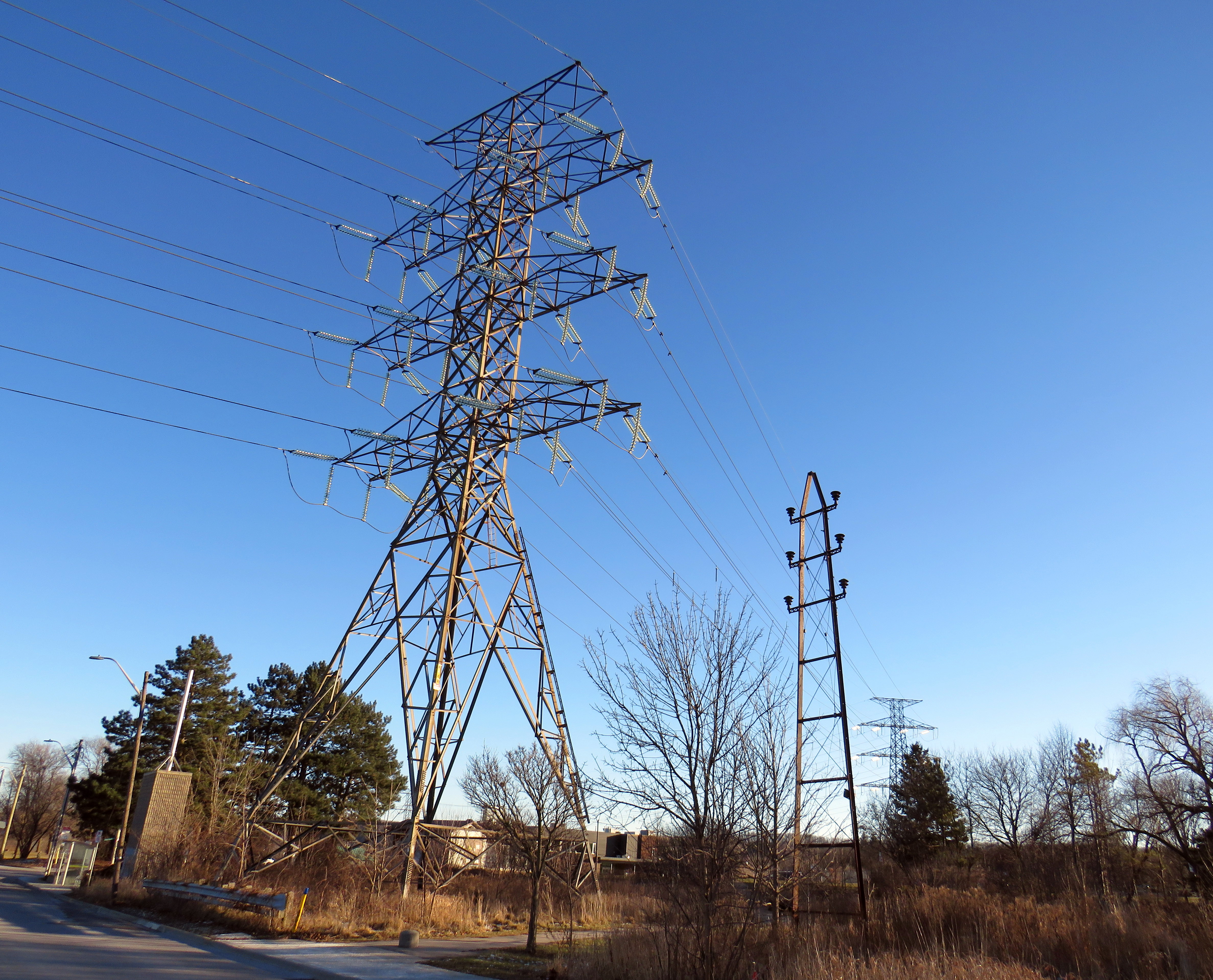
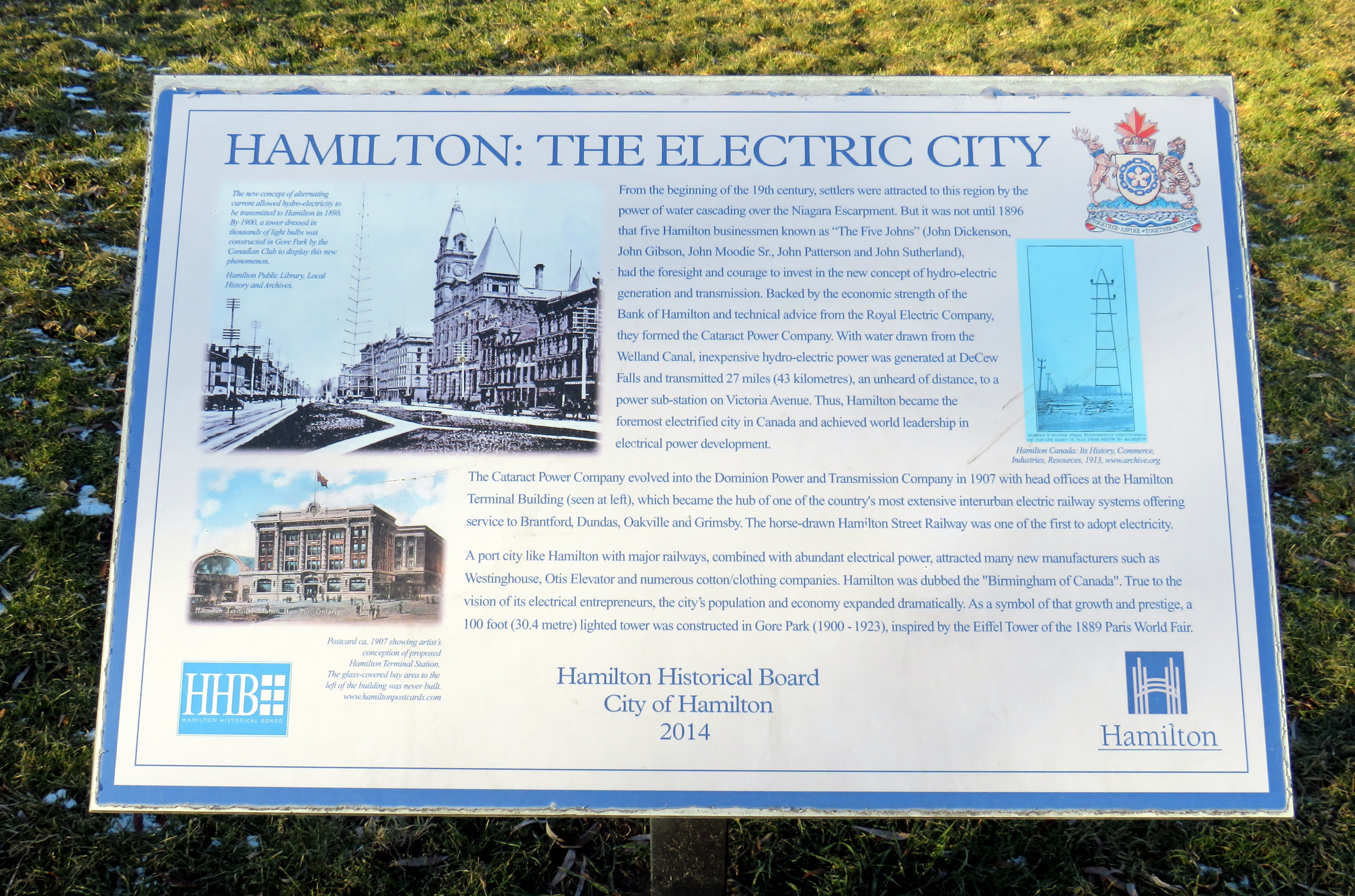
On the edge of a quiet postwar neighbourhood in Hamilton, Ontario, there is a remarkable remnant of a time gone by, preserved in situ, accompanied by an interpretive plaque. A small steel hydro-electric transmission tower stands in a park, once part of a pioneering 43-kilometre corridor that connected Hamilton with a new hydro-electric generating station at DeCew Falls, near St. Catharines. Next to the old pylon stands a much taller tower carrying electric lines along the same corridor.

Both the DeCew Falls plant and the transmission corridor were constructed by the Cataract Power Company, an organization founded by five Hamilton businessmen, who all had the first name John. “The Five Johns” took control of the city’s power generation and distribution, electric lighting, as well as the Hamilton Street Railway (HSR) and electric interurban railways (known as radials) to nearby cities and towns including Dundas, Oakville, Brantford, and Beamsville. The HSR began electrified streetcar service on June 29, 1892, several months before the first electric streetcar operated in Toronto.
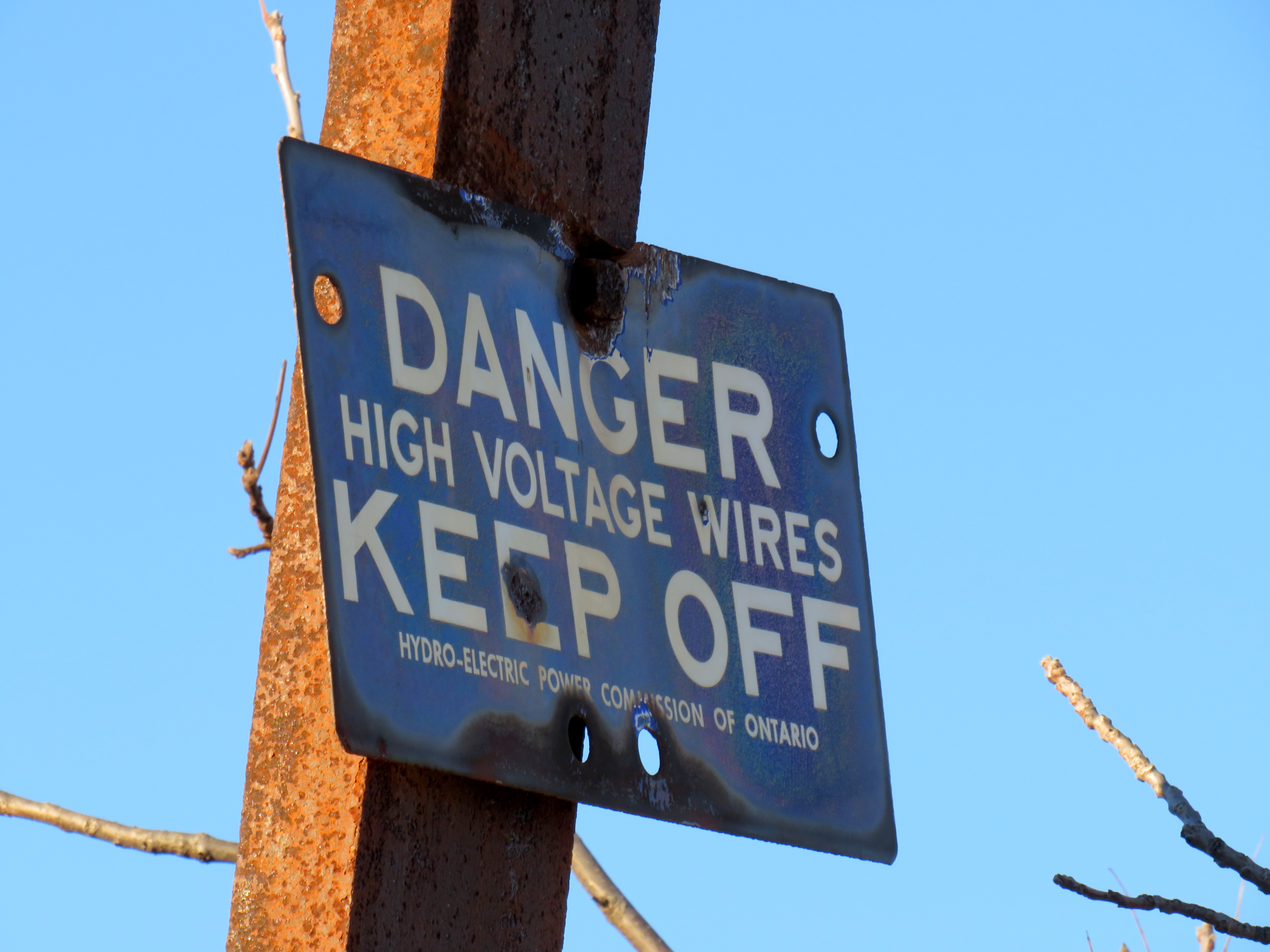
The tower was erected by the Dominion Power Company (the successor company that absorbed the Cataract) in 1913, as part of an upgrade of the corridor between Hamilton and DeCew Falls, and it is the only one of its vintage to survive. Beside the old tower, a modern hydro-electric corridor follows the same route south, up the Niagara Escarpment.
Access to cheap, reliable hydro-electric power was one reason why Hamilton was able to thrive as a major industrial centre, attracting steel producers, tire and auto manufacturers, textile mills, and electrical equipment suppliers. That, along with excellent water, rail, and road access helped to make the “Golden Horseshoe” at the western end of Lake Ontario shine.
Eventually the hydro dam, the transmission corridor, the HSR, and the radials were taken over by the Hydro-Electric Power Commission of Ontario, which consolidated the many private power companies throughout the province and putting them under public control. Adam Beck, who headed the commission, was also an advocate for interurban railways, so control of the HSR and the radials was a natural fit. Unfortunately, Ontario’s radial railways were never fully consolidated, and most disappeared by the early 1930s. Hydro, however, kept control of the HSR until 1946, when it was sold to Canada Coach Lines, a Hamilton-based intercity carrier whose routes followed several of the old radial lines. Under private CCL ownership, the last streetcar lines were replaced with diesel and electric trolley buses by 1951.
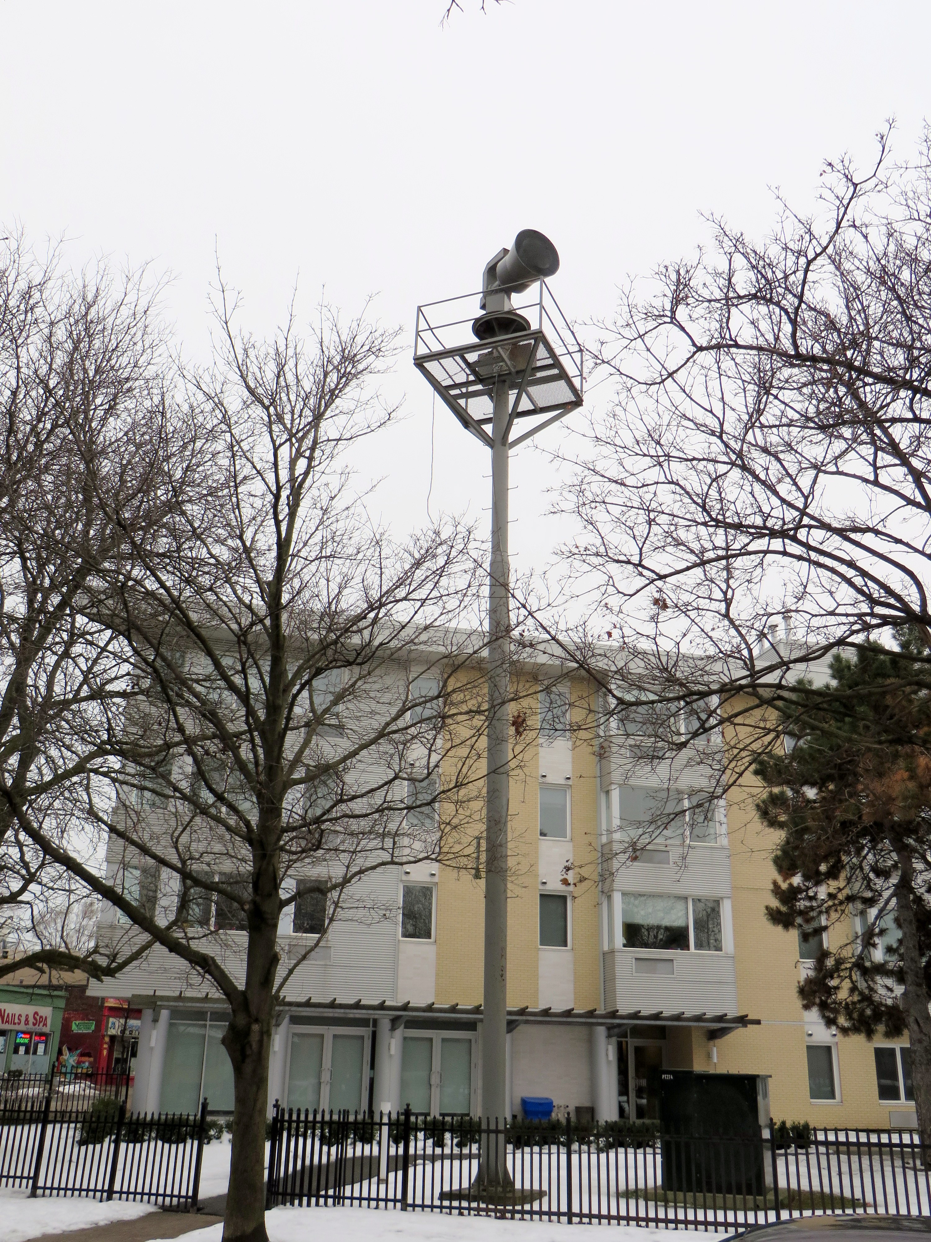
Heritage preservation need not be concerned only with major landmarks and grand buildings. Sometimes the seemingly mundane details matter too, and tell us about the history of our built environment. In Toronto, at Dundas Street West and Shaw Street, an old air raid siren still stands at the top of a long metal tower. These sirens were common place from the 1950s to 1980s, but they were mostly taken down as they became redundant due to modern missile technology (rendering evacuation and “duck and cover” measures useless) and the eventual end of the Cold War.
Today, the remaining siren tower is also a reminder of those times.
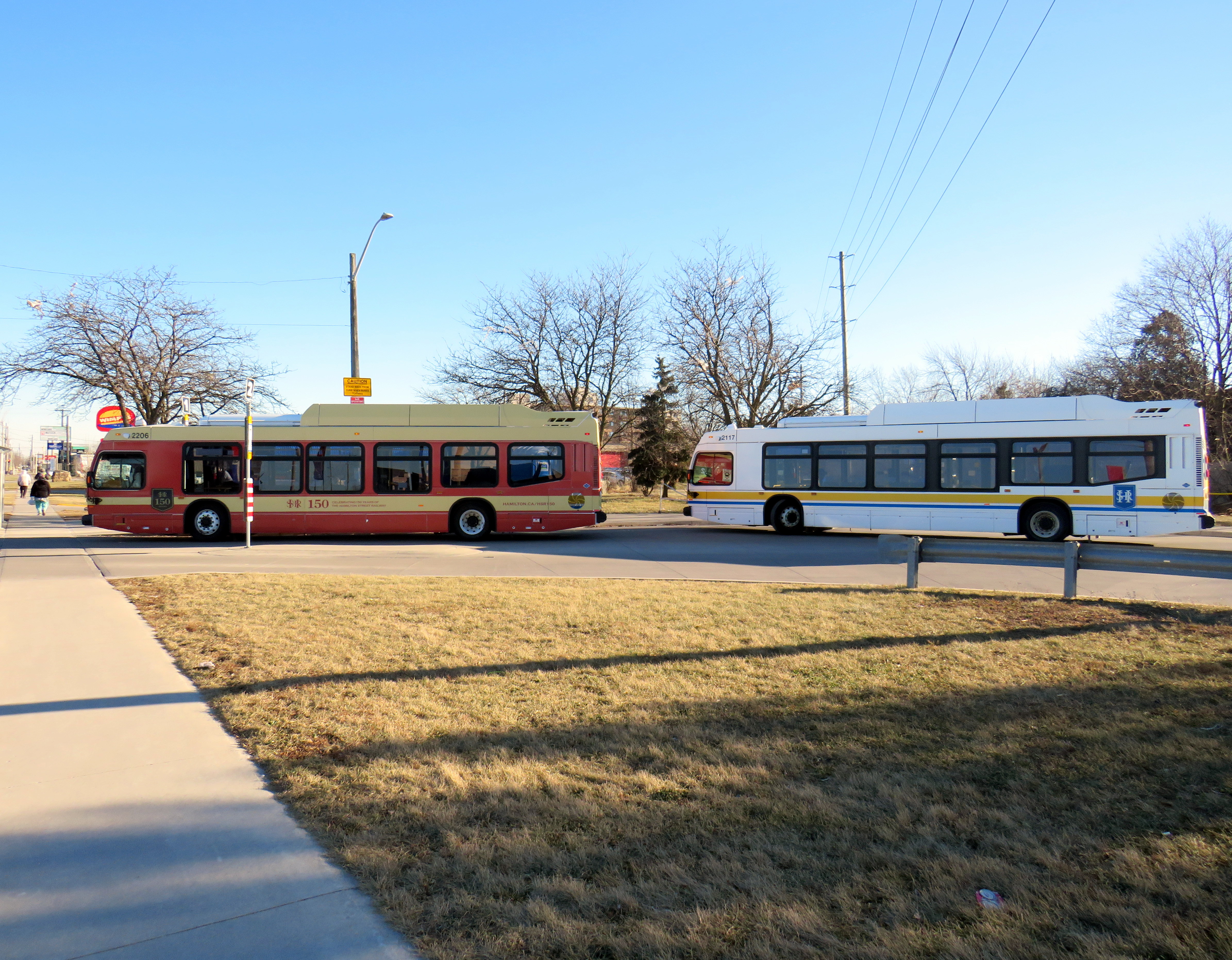
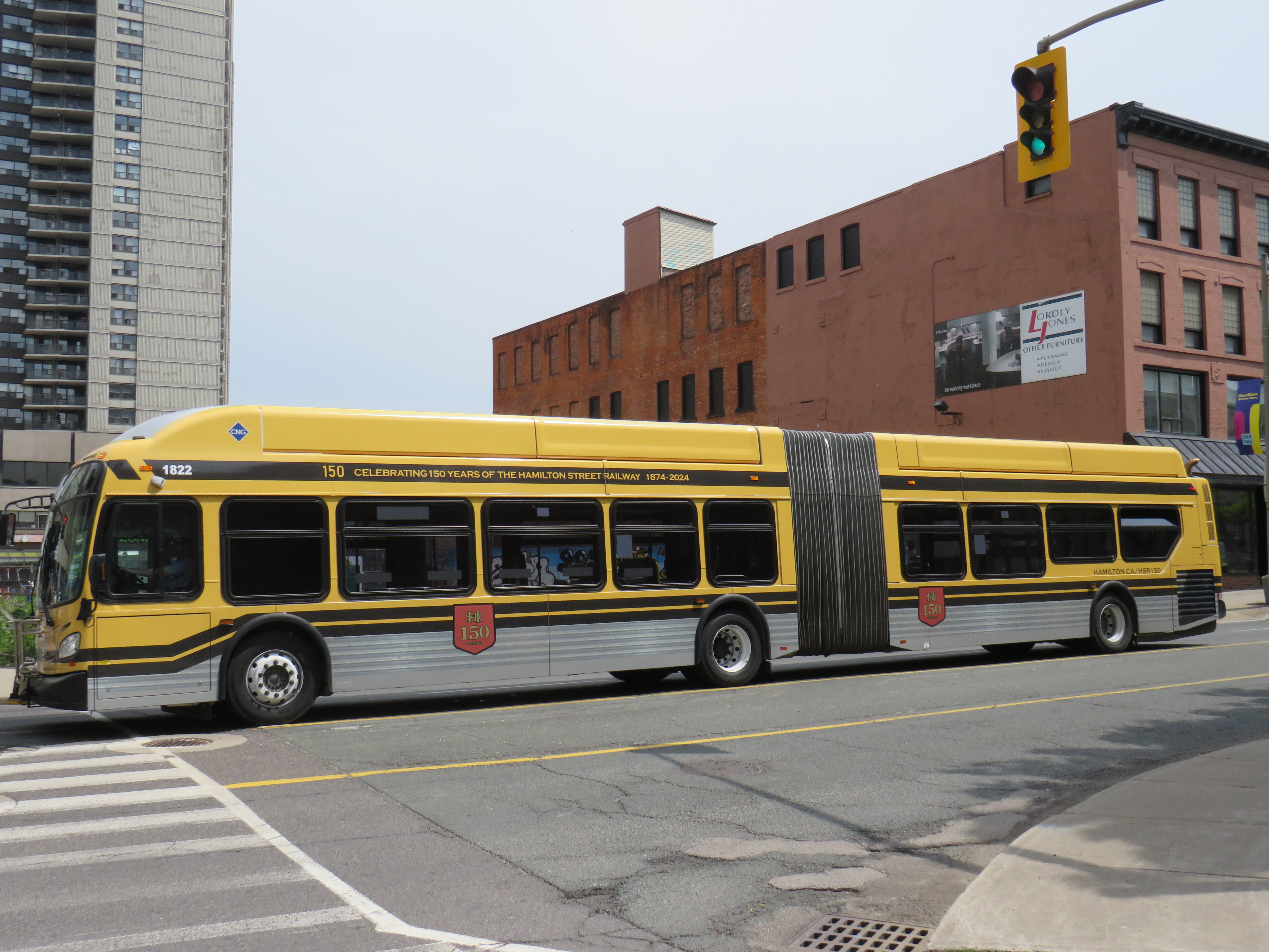
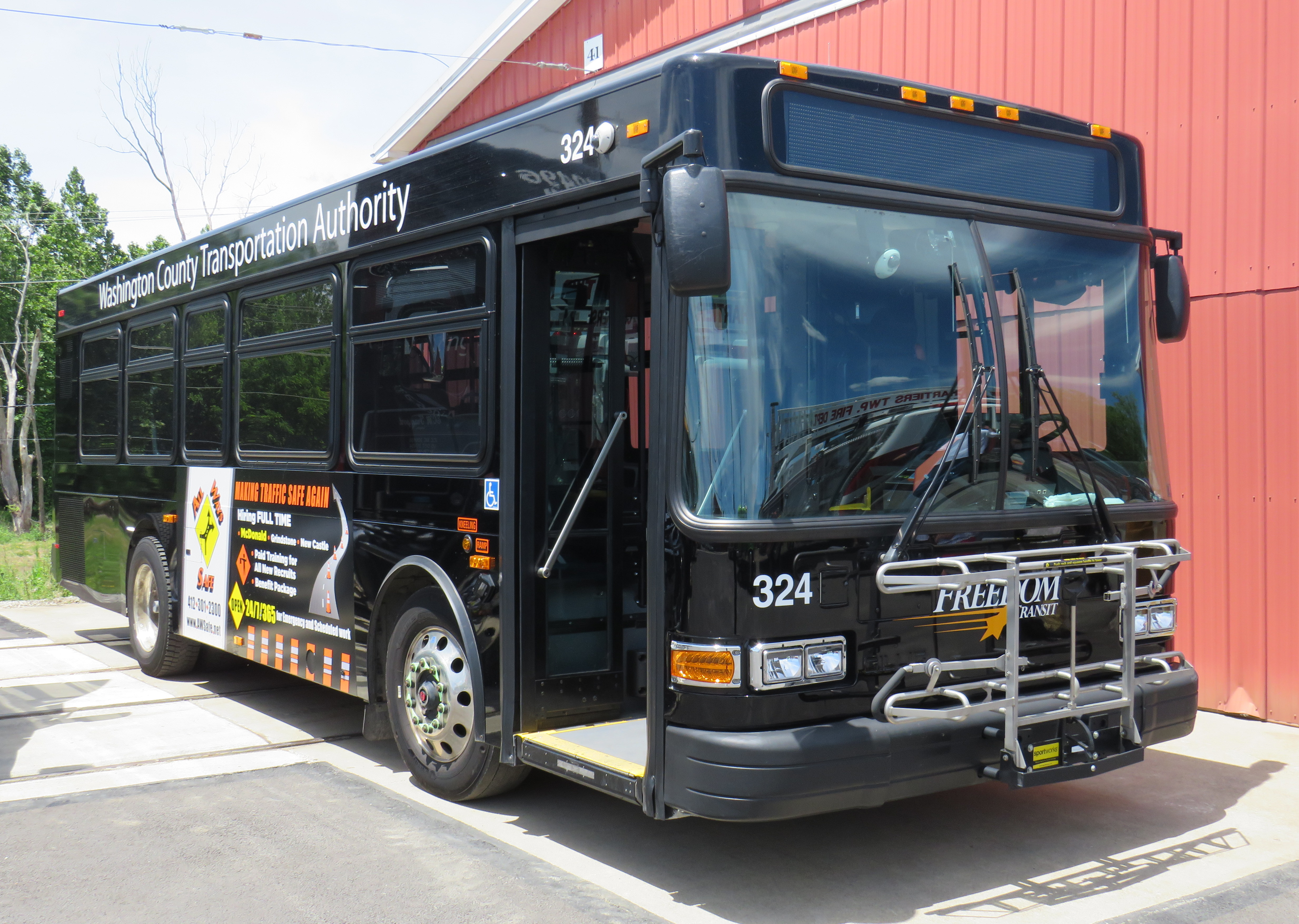
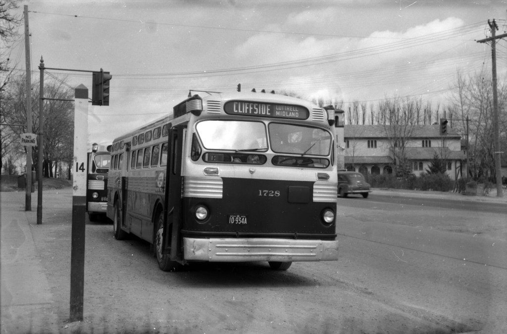
One more thing that the City of Hamilton has done in the last year is paint two of its buses in retro liveries, celebrating the 150th year of the Hamilton Street Railway Company. Though the HSR hasn’t actually operated streetcars since 1951 (and abandoned trolleybus service in 1992), the name persists through multiple ownership changes, even after municipal ownership starting in 1960.
One bus sports the 1950s-1960s-era colour scheme of burnt red and cream, while a second bus has the classic yellow and black “Ti-Cats” look used in the 1970s and 1980s. Though modern buses still have a prominent yellow stripe and the long-running interlaced HSR letters-in-a-shield logo, there’s nothing quite as says “Hamilton” quite like classic yellow and black scheme.
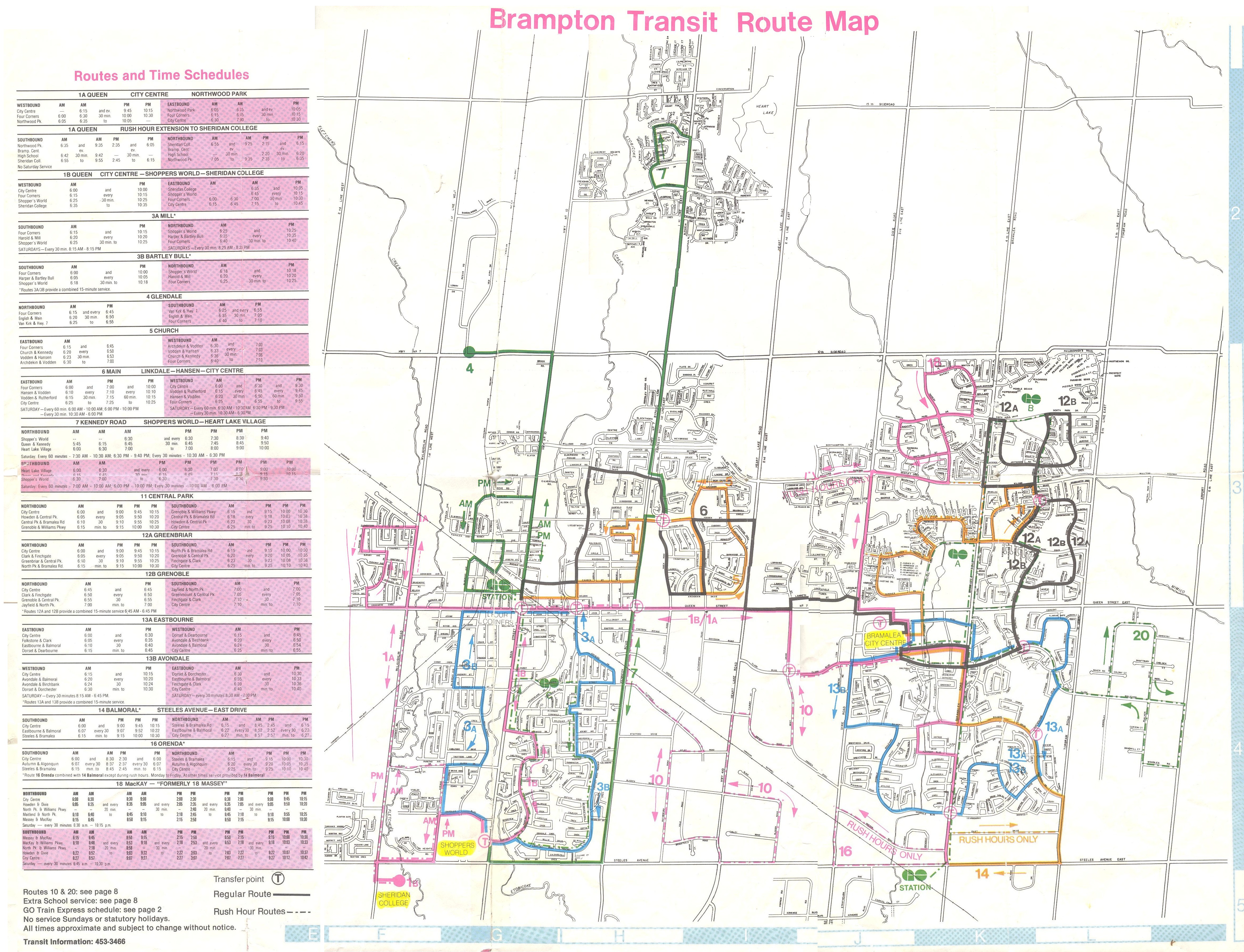
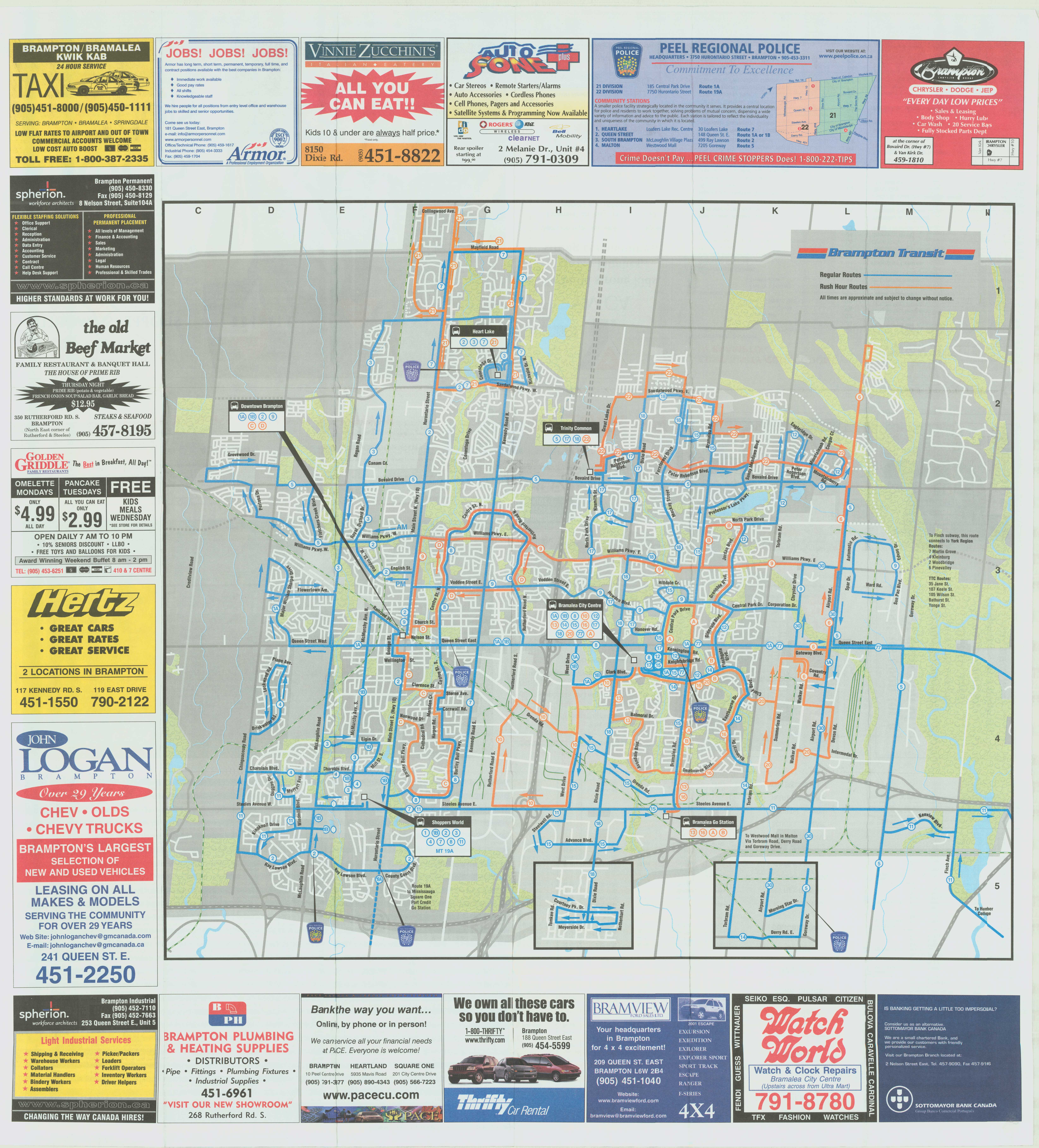
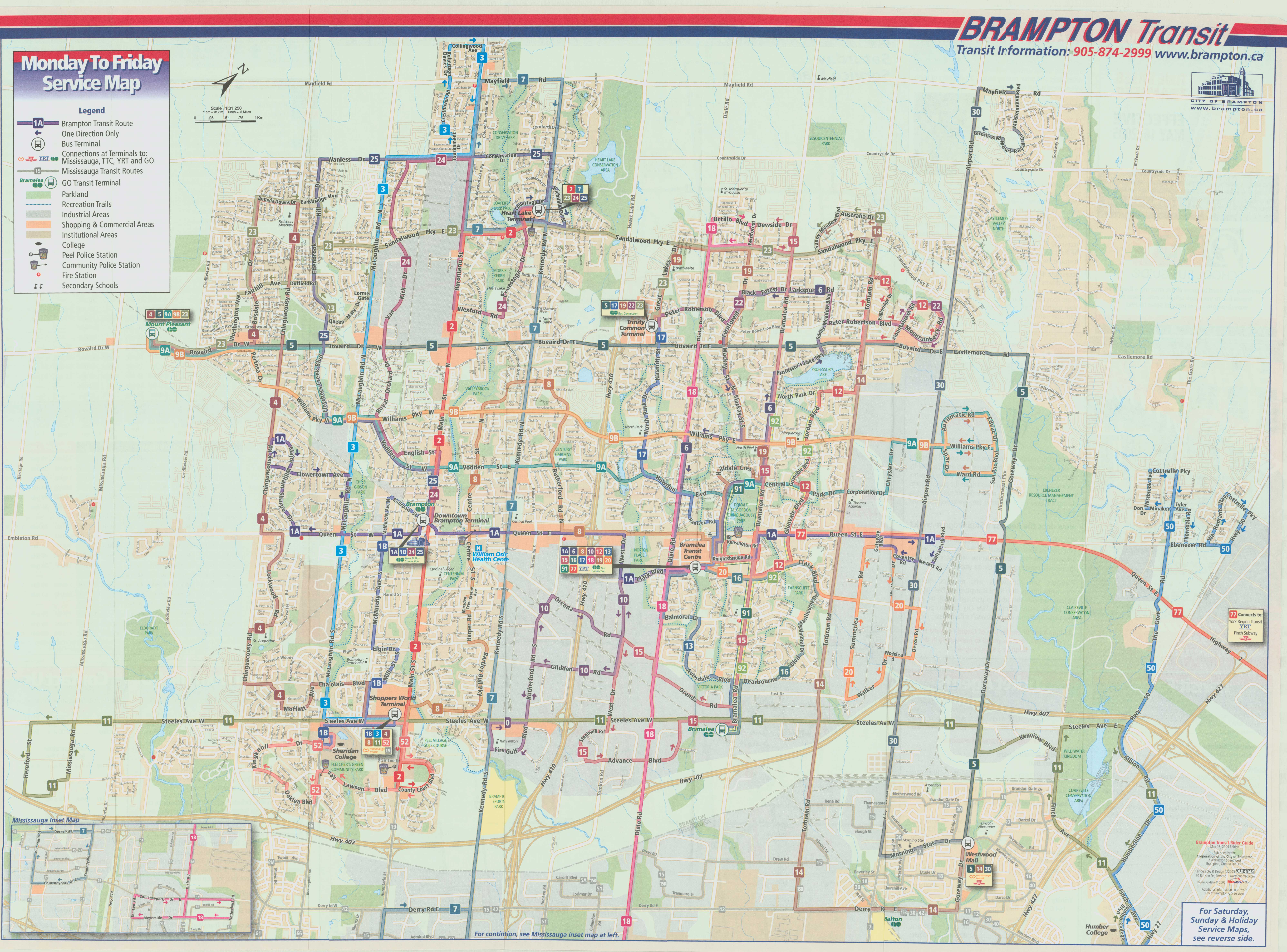
It would be great for other agencies, such as the TTC, GO, and Brampton Transit to bring out their old colours. I would like to see a modern low-floor bus or Flexity streetcar in the classic maroon and cream colours, or a GO bus with the 1970s GO Transit wordmark. I would love to see a Brampton Transit bus sporting the old pink stripe and “b” logo.


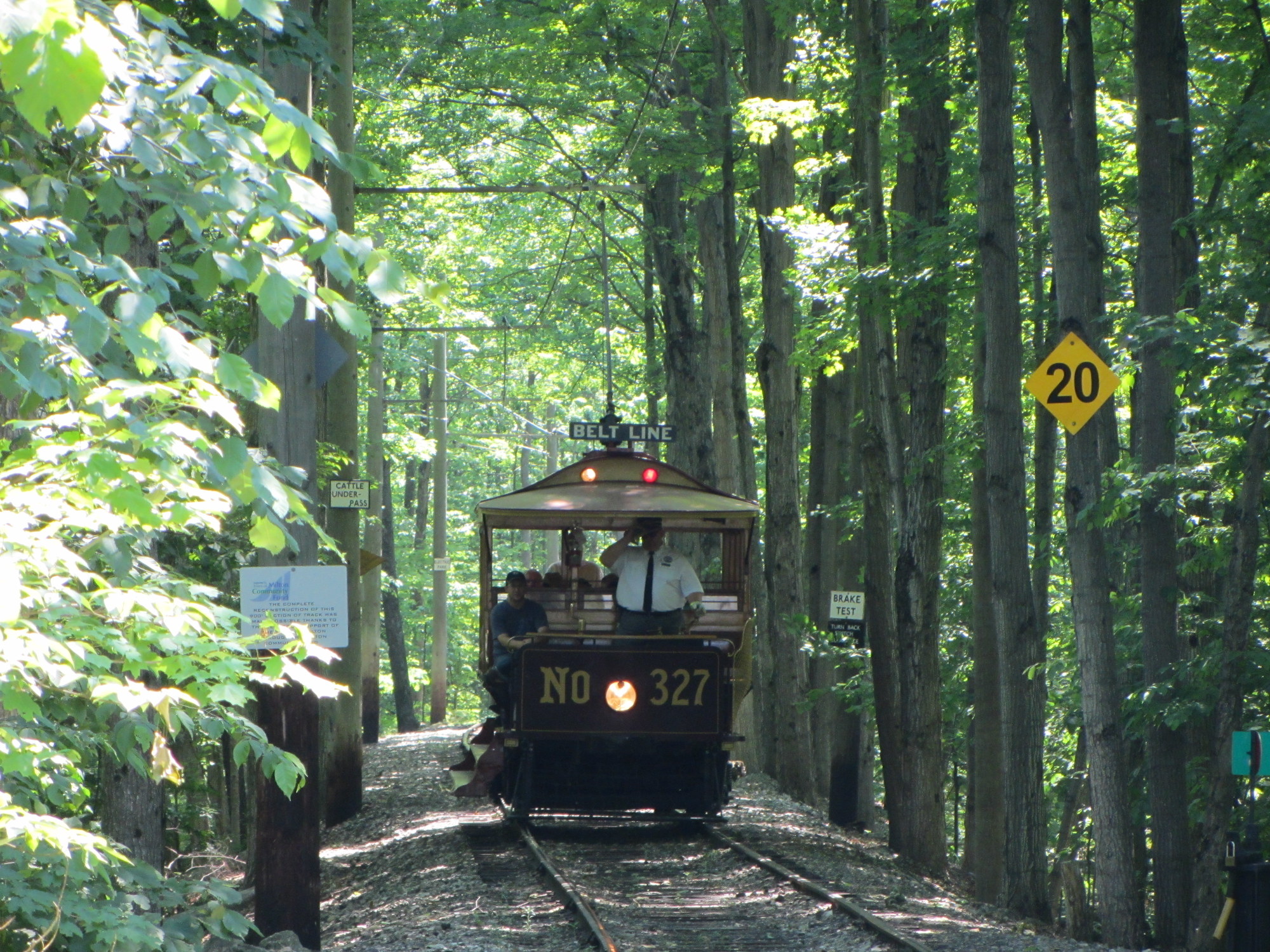 Replica of Toronto Railway Company streetcar #327 operates at the Halton County Radial Railway museum, with the unique glass bulbs visible below the metal “Belt Line” sign. Photo taken June 2012
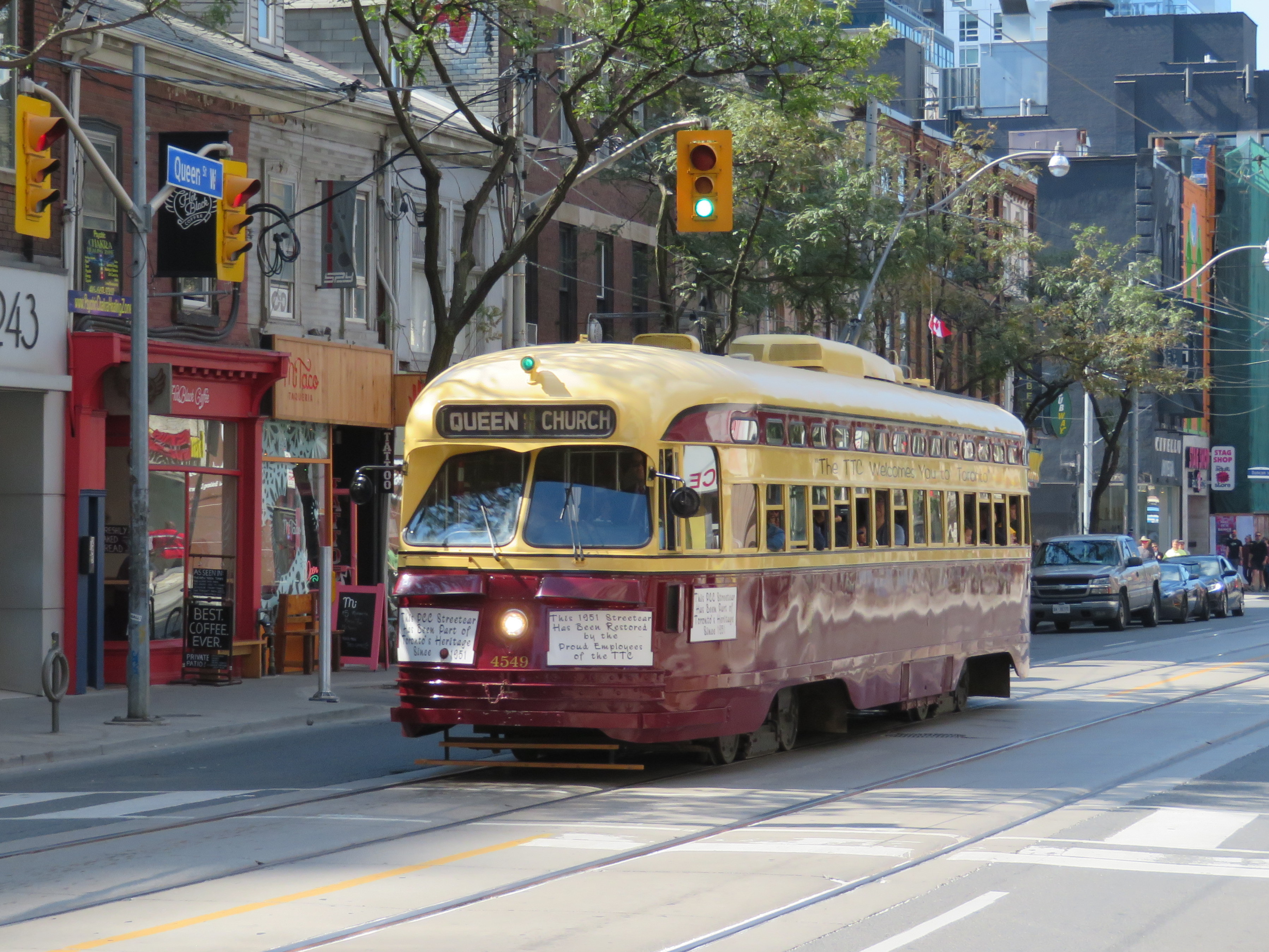 TTC PCC Streetcar #4549 on Queen Street West in September 2018
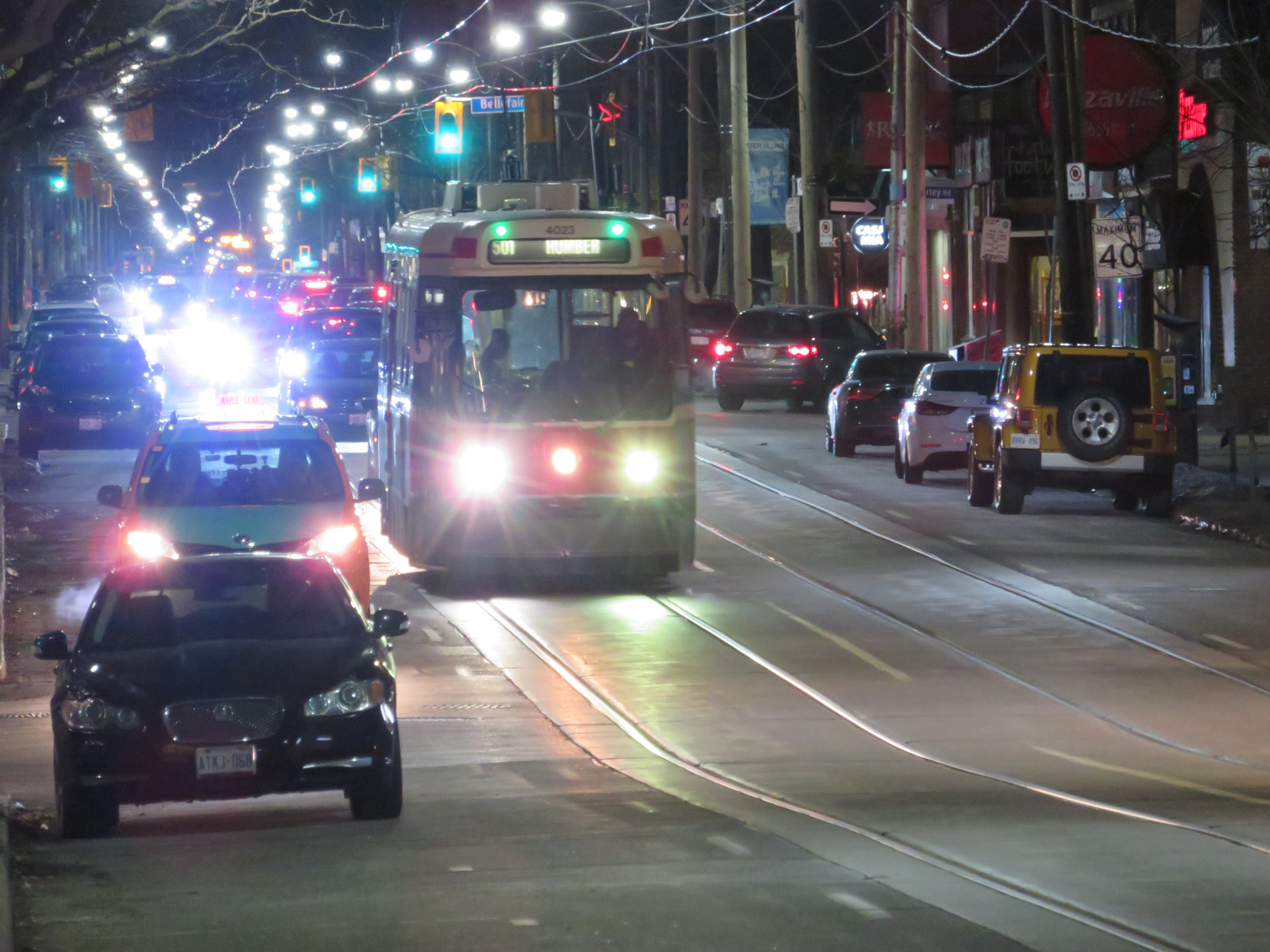 CLRV streetcar on Queen Street East, with two blue-green advance lights above the back-lit destination sign.
 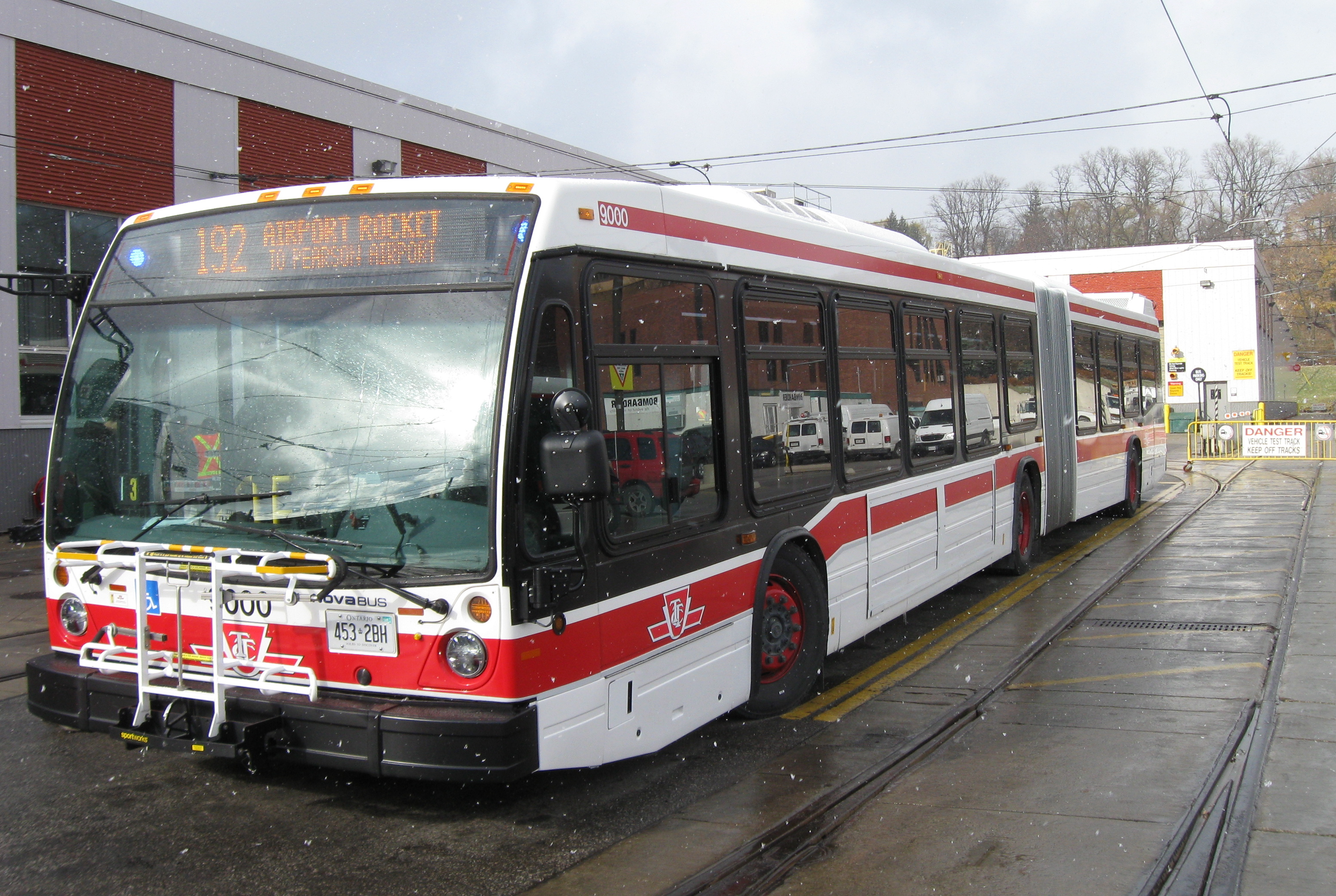 Nova articulated bus with orange LED destination sign and blue LED advance lights indicating it is an accessible vehicle
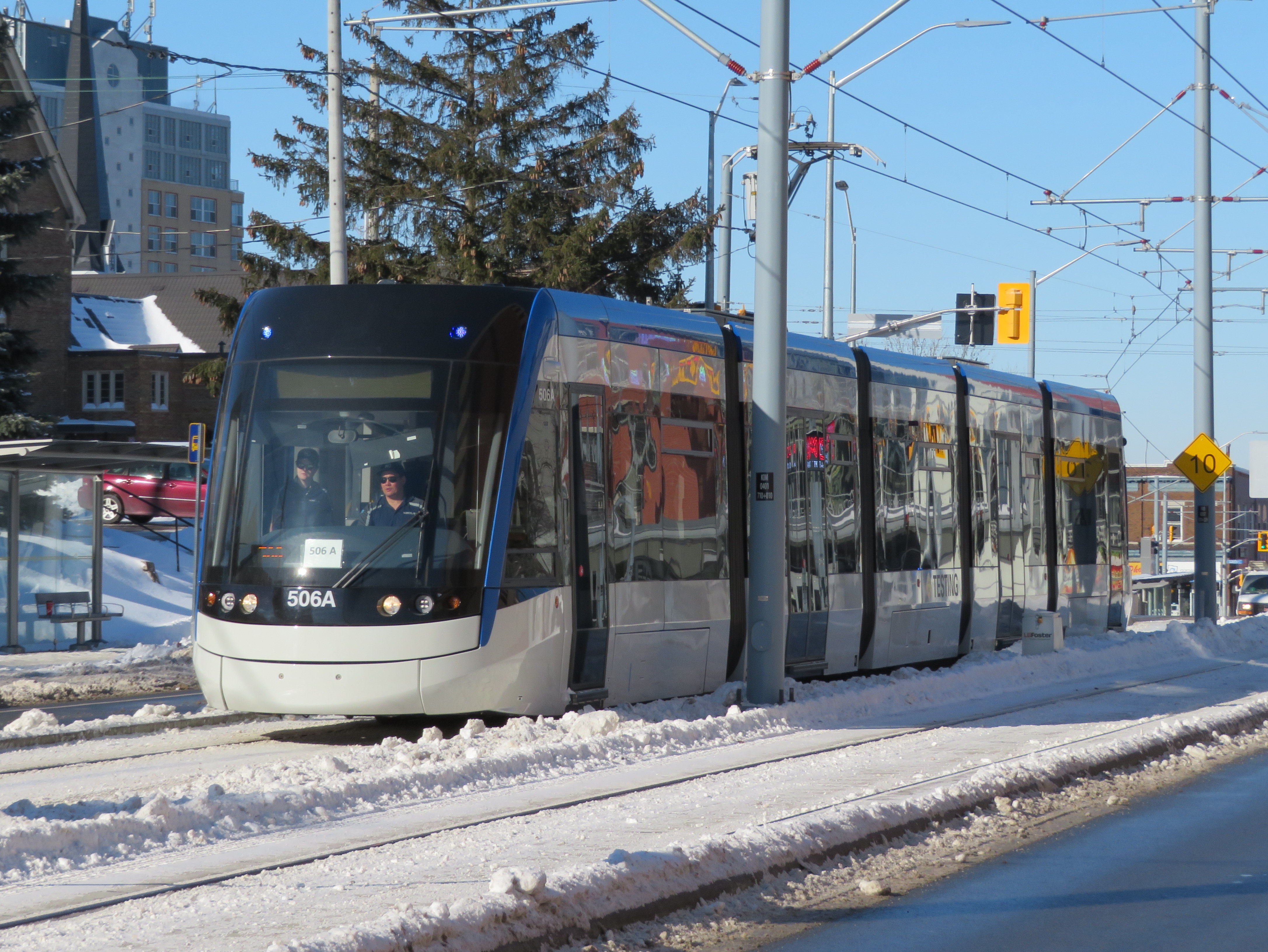 ION LRT vehicle undergoing testing in Kitchener, February 2019

 New Glasgow City Hall
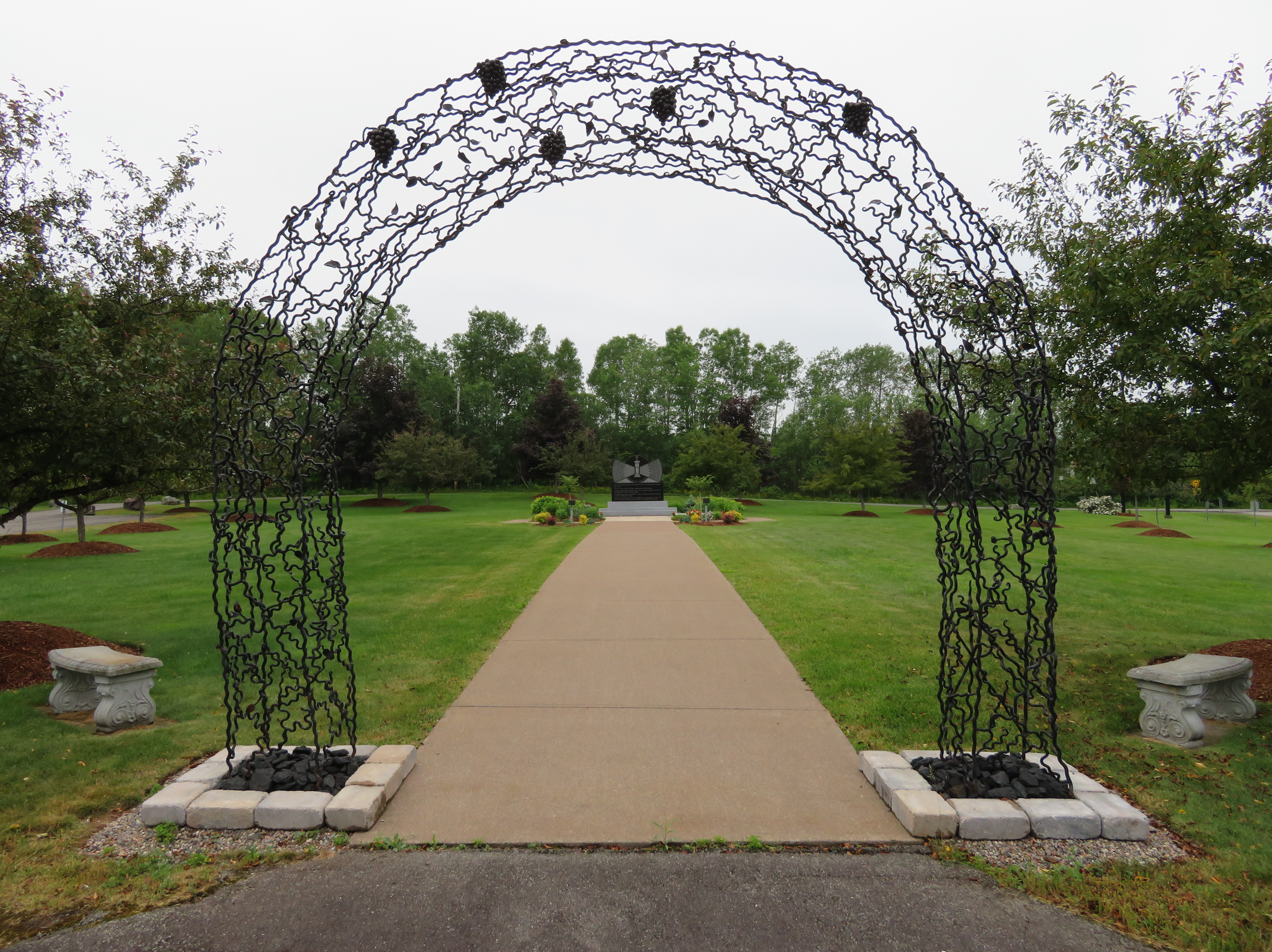 Their Light Shall Always Shine Memorial Park, New Glasgow


 View from the top of the ski hill at Earl Bales Park
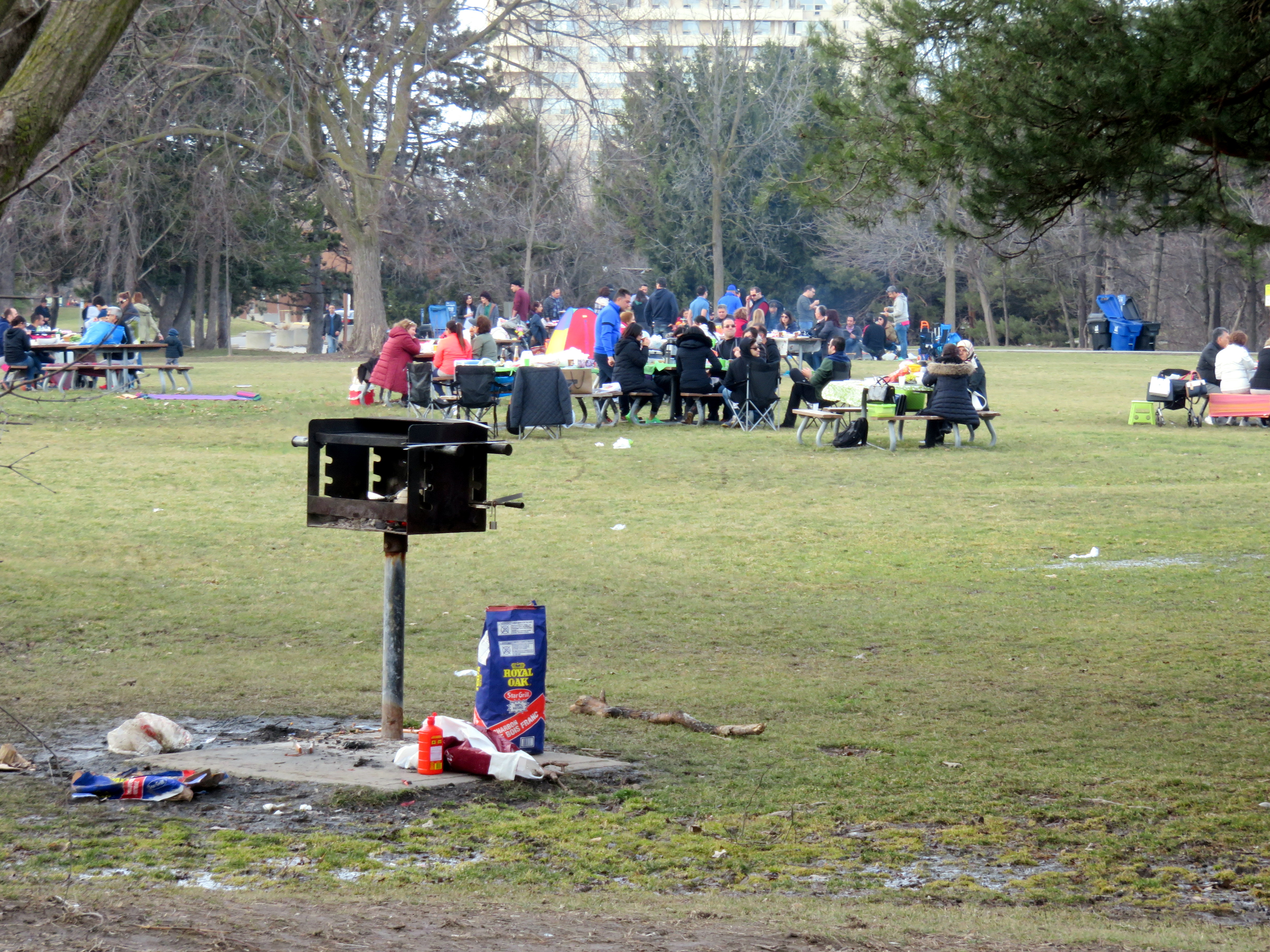 Picnicking at Earl Bales Park, April 2, 2017
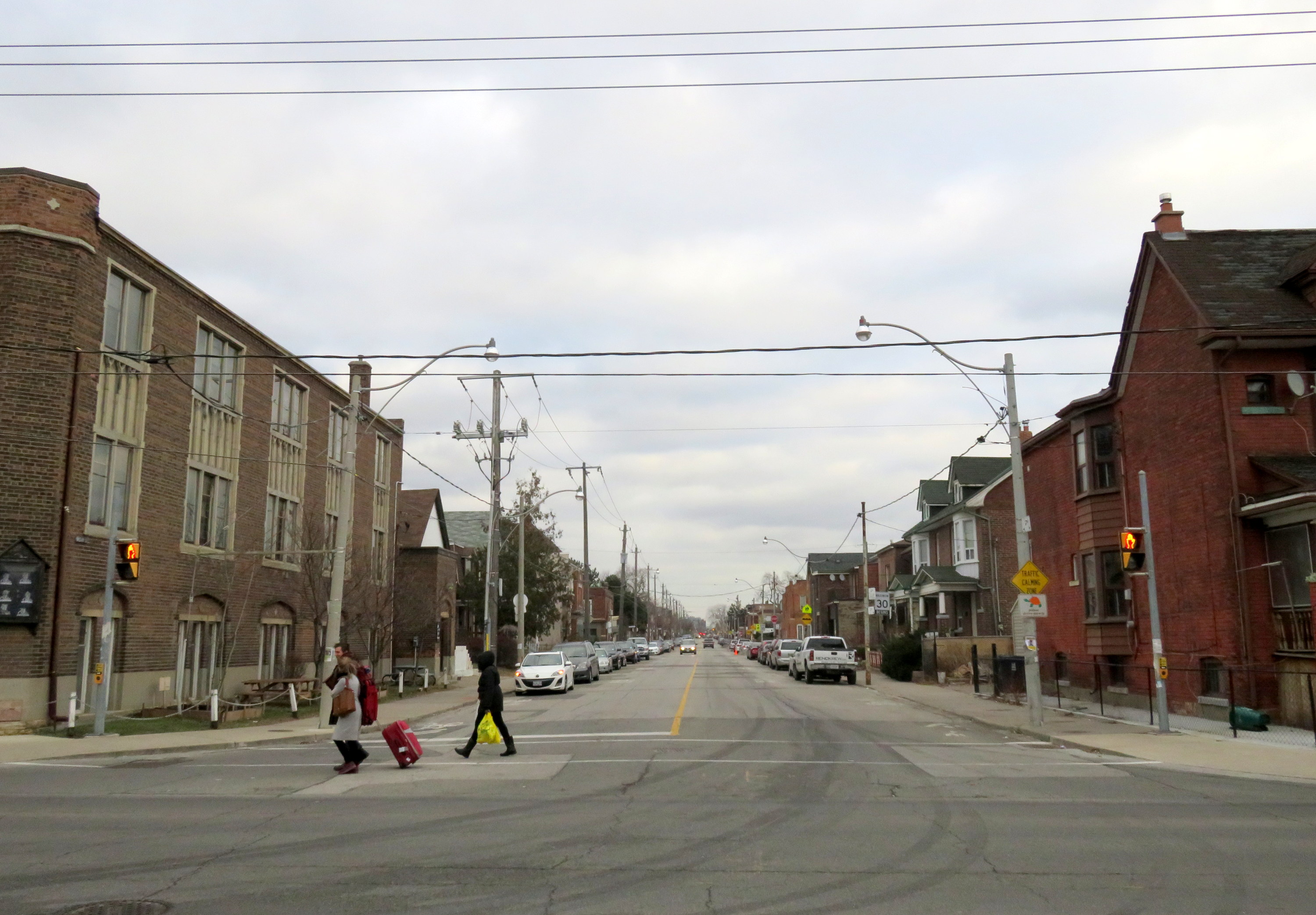 Hallam Street looking east from Dufferin Street, January 2017
