
Metrolinx light rail vehicle mock-up at Gage Park, meets a Brampton Transit Zum bus, 2013.
Earlier this week, I visited Brampton City Hall, where at a public open house, Metrolinx and city staff provided an update of the Hurontario Light Rail Transit project. Brampton City Hall was an ironic location for the open house; before Brampton Council voted against building the LRT up to Downtown Brampton and the GO/VIA Station, the LRT line would have stopped right here. Even with Brampton’s decision, there will be three stops in the city, so an open house for local residents to provide their feedback was still needed.
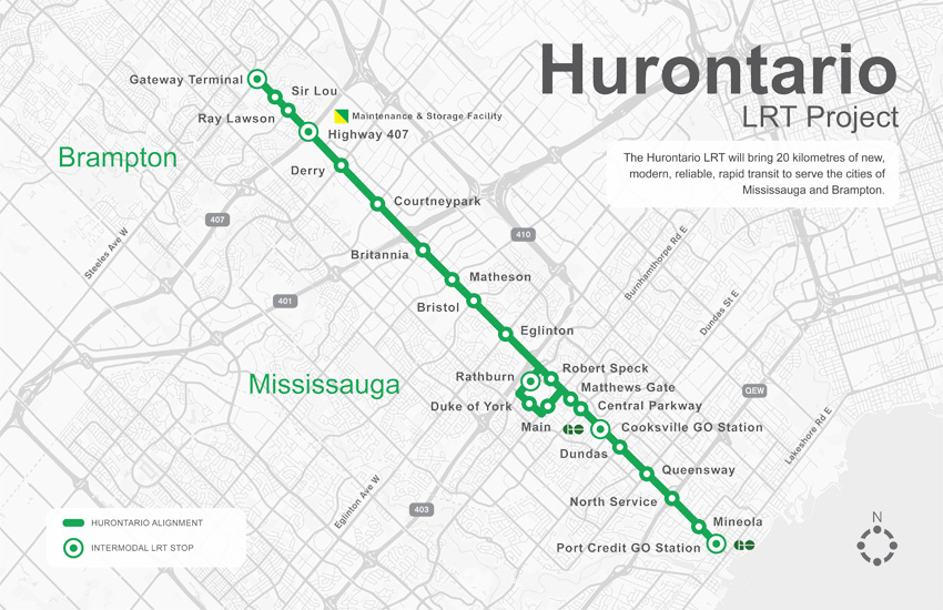
The Hurontario LRT project, map via Metrolinx
The open house was quite interesting as more design details were displayed. There`s a focus on promoting active transportation — walking and cycling — and urbanizing much of the corridor. Three lanes of motor traffic will go down to two in most places, and right turning traffic will be tamed. This will make Hurontario Street a safer and more pleasant place to be.
Along the entire LRT corridor, Hurontario Street will feature separated bike infrastructure — for the most part, there will be separated bike lanes, with multi-use paths in a few areas, especially south of the Queensway, where Hurontario Street is narrower. Sidewalks are also wider. With only a few exceptions, cyclists will be able to ride across intersections without being required to dismount. Those exceptions are at the Queen Elizabeth Way, and at Highways 403 and 407, where Ministry of Transportation Ontario (MTO) standards at interchanges will force the “stop, dismount, wait for gap” regime; pedestrians will also still have to yield to motor traffic.
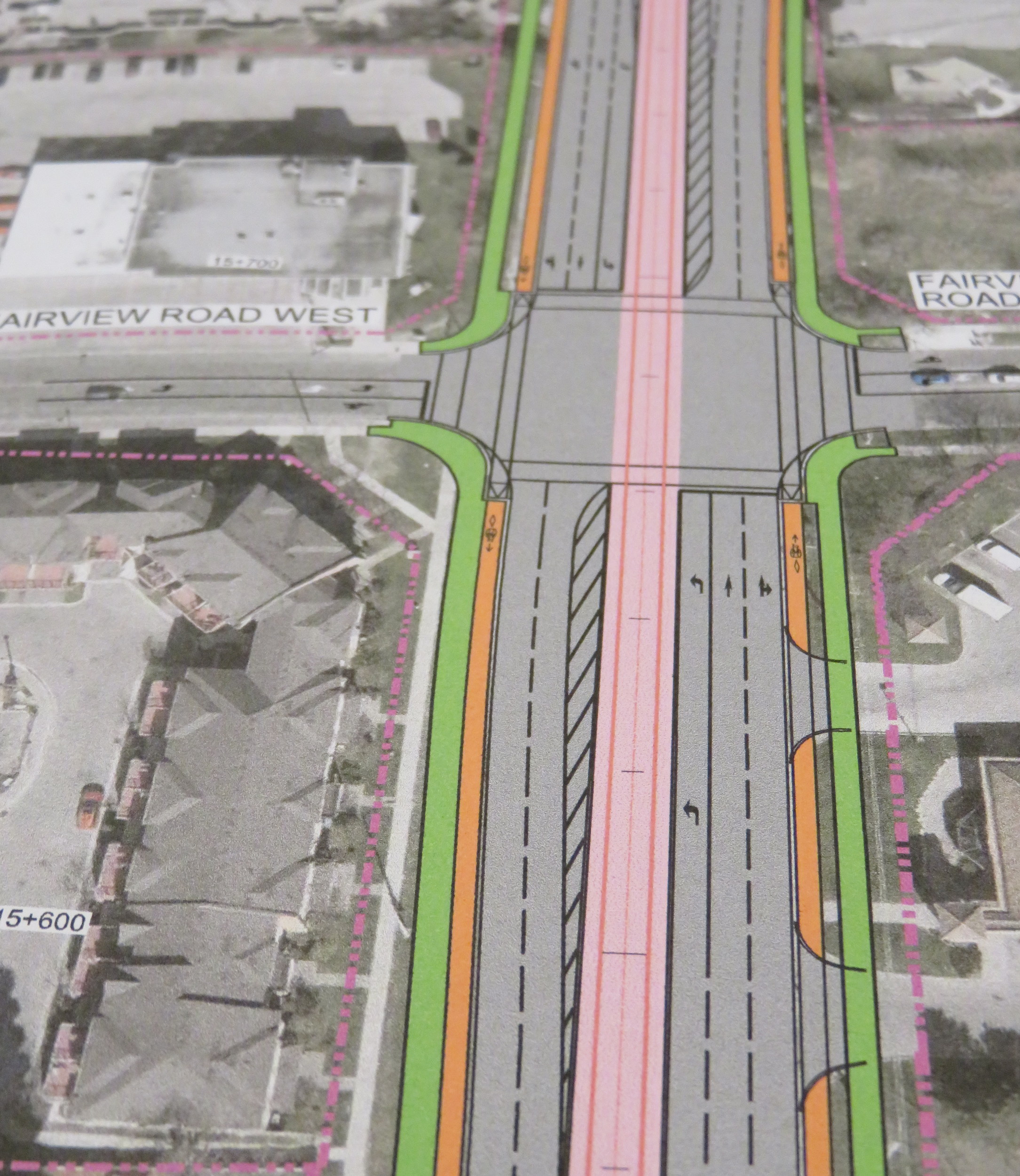 Typical cross-section once the LRT is built. The orange paths are the separated bike lanes, the green paths are sidewalks. Hurontario Street will only have two traffic lanes in each direction.
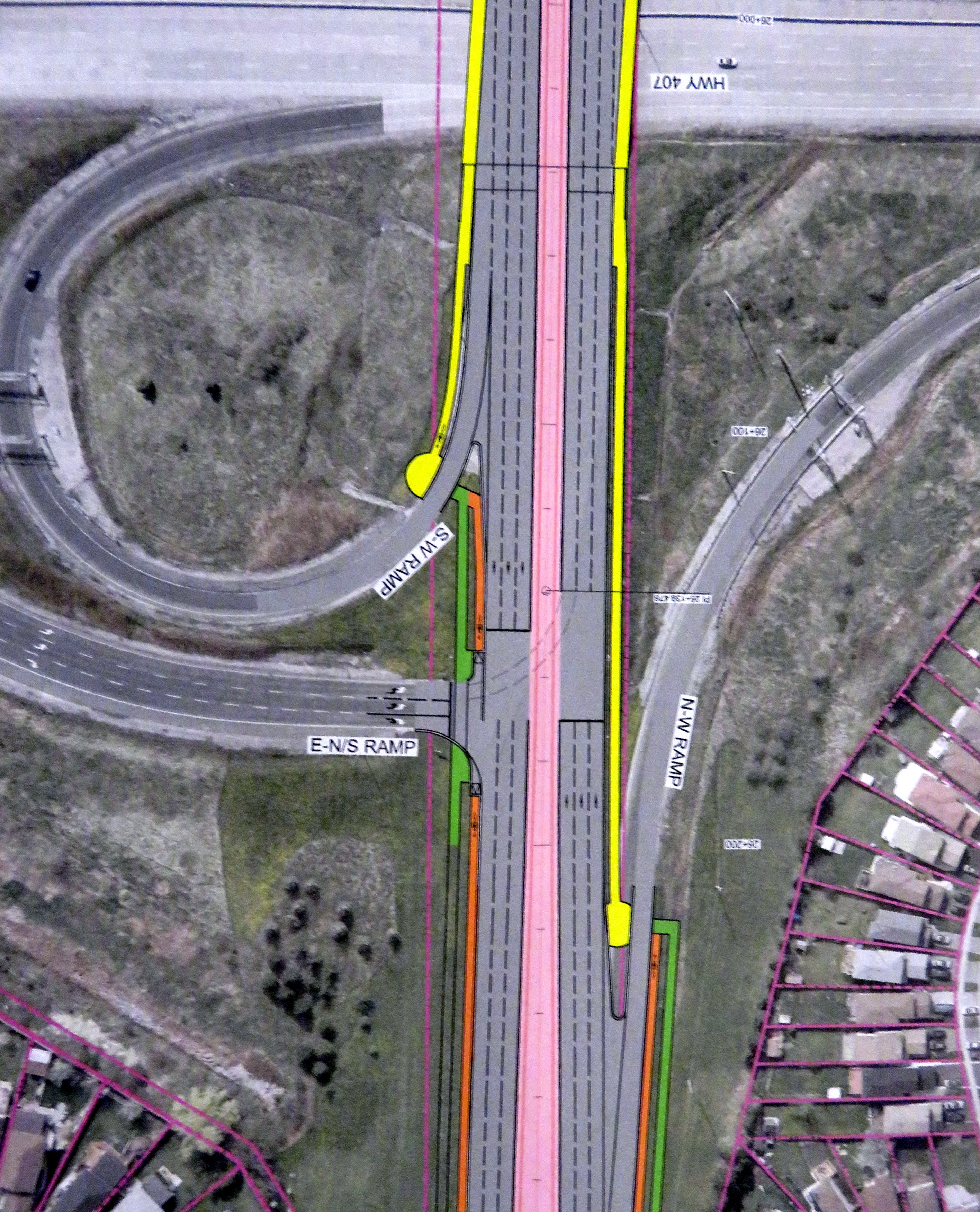 At expressways, like at Highway 407, pedestrians and cyclists still must yield to motor traffic at on-ramps.
In another benefit for pedestrians and cyclists, channelized right turns are eliminated along the entire route. Channelized right turns (like the one shown below) are convenient for motorists, but they increase conflicts with foot traffic and are incompatible with lower speeds and safe cycling infrastructure. Their removal also creates new room for streetscaping opportunities.
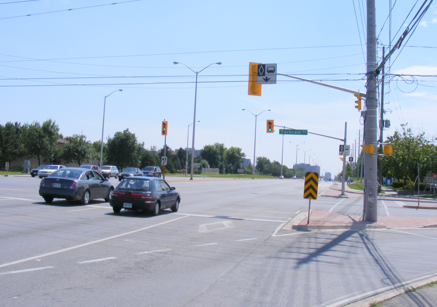
An example of a channelized right turn
The northern terminus of the LRT, at least for now, will be at Steeles Avenue. As Brampton debates other LRT alignments (Kennedy Road and McLauglin Road are indirect alternatives to reach Downtown Brampton), the stop was moved to the south side of the intersection. This is unfortunate: the Brampton Gateway bus terminal, which opened in 2012, was designed to easily connect with the planned LRT stop on the north side of the intersection, with two short crosswalks across southbound Main Street.
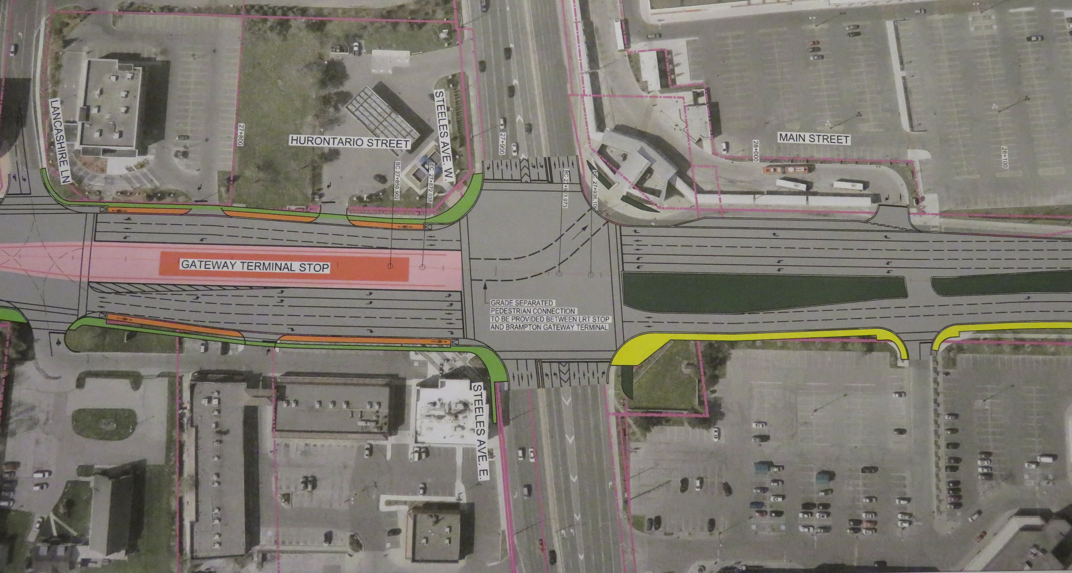
Planned LRT terminus at Steeles Avenue, including tunnel between the LRT platform and the Brampton Gateway Terminal.
Instead, a more expensive tunnel is required to accommodate transferring passengers between the LRT and buses. Elevators and escalators will provide direct access to the tunnel; crosswalks at Steeles Avenue and Lancashire Lane will also be accessible from the platform.
The final contract is planned to be signed in mid-2018 and construction should begin in Fall 2018. As the City of Mississauga backs the LRT project, hopefully any change in the provincial government will not jeopardize this plan. Not only will Mississauga (and south Brampton) get a fine new transit service, it will also see a tamer, more urbanized main street.
And maybe Brampton City Council will come to its senses and extend the transit corridor via the direct, least-expensive, Main Street alignment.
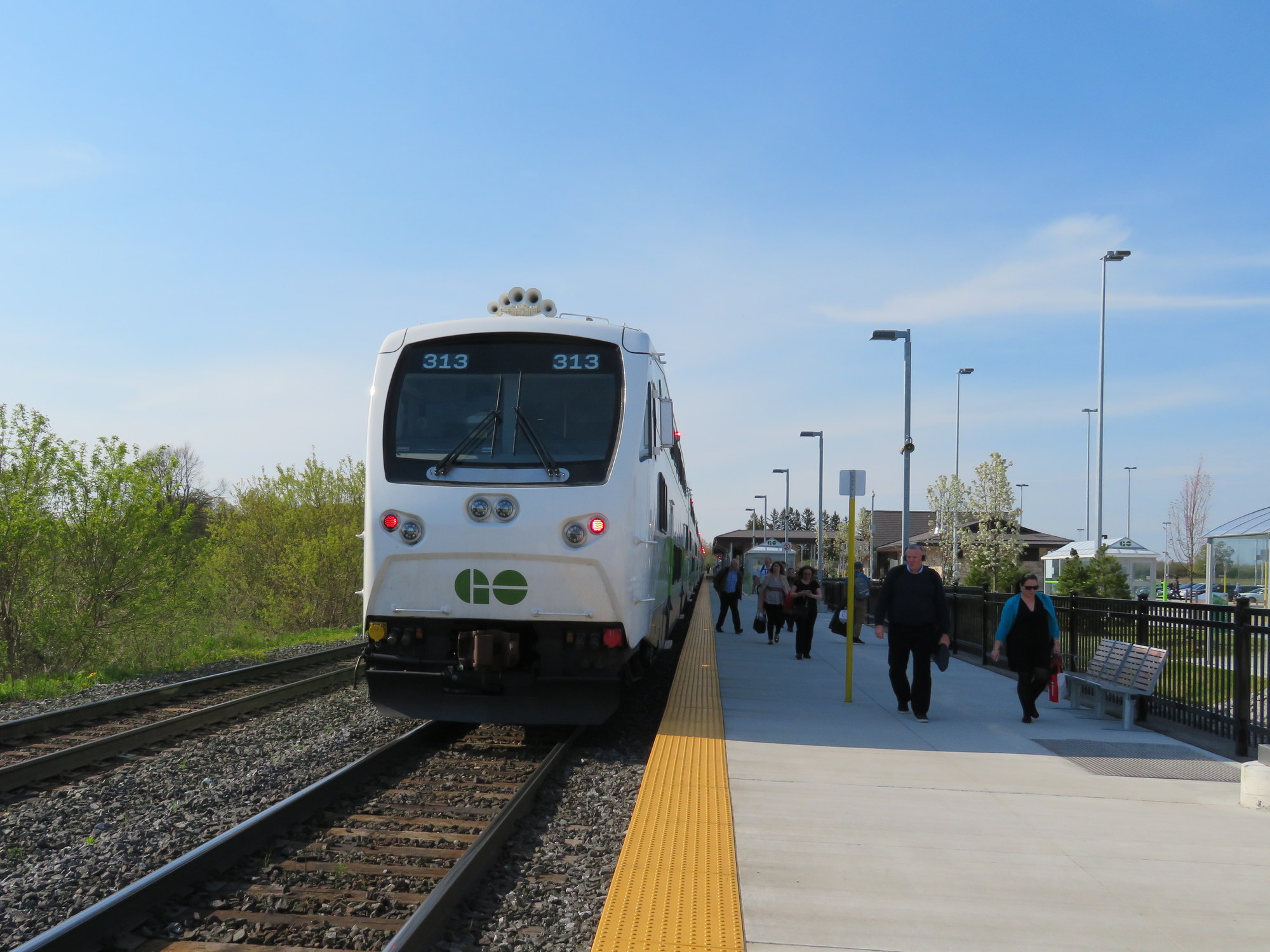 GO Train at Gormley Station
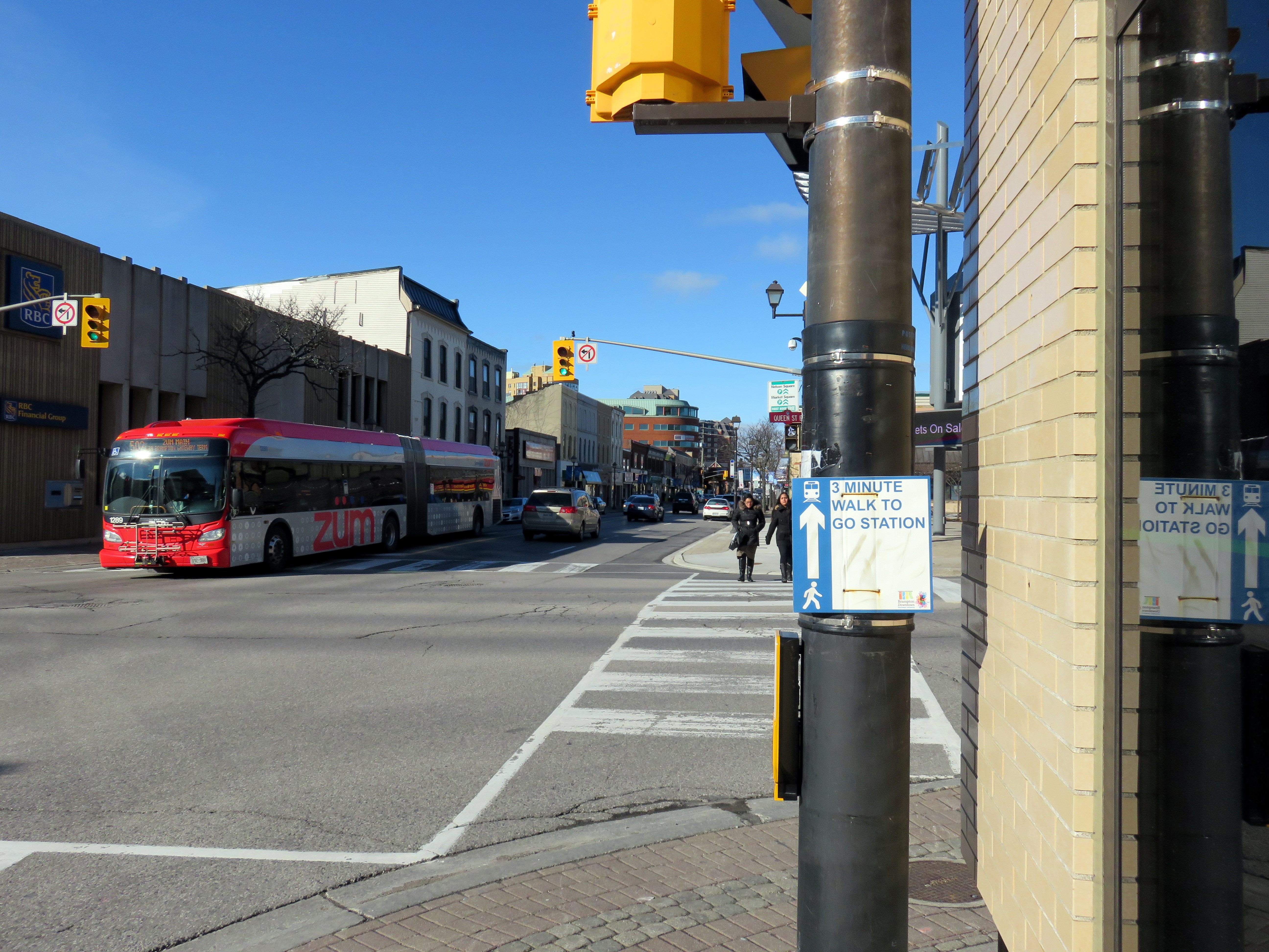 Main Street looking north at Queen Street, Downtown Brampton
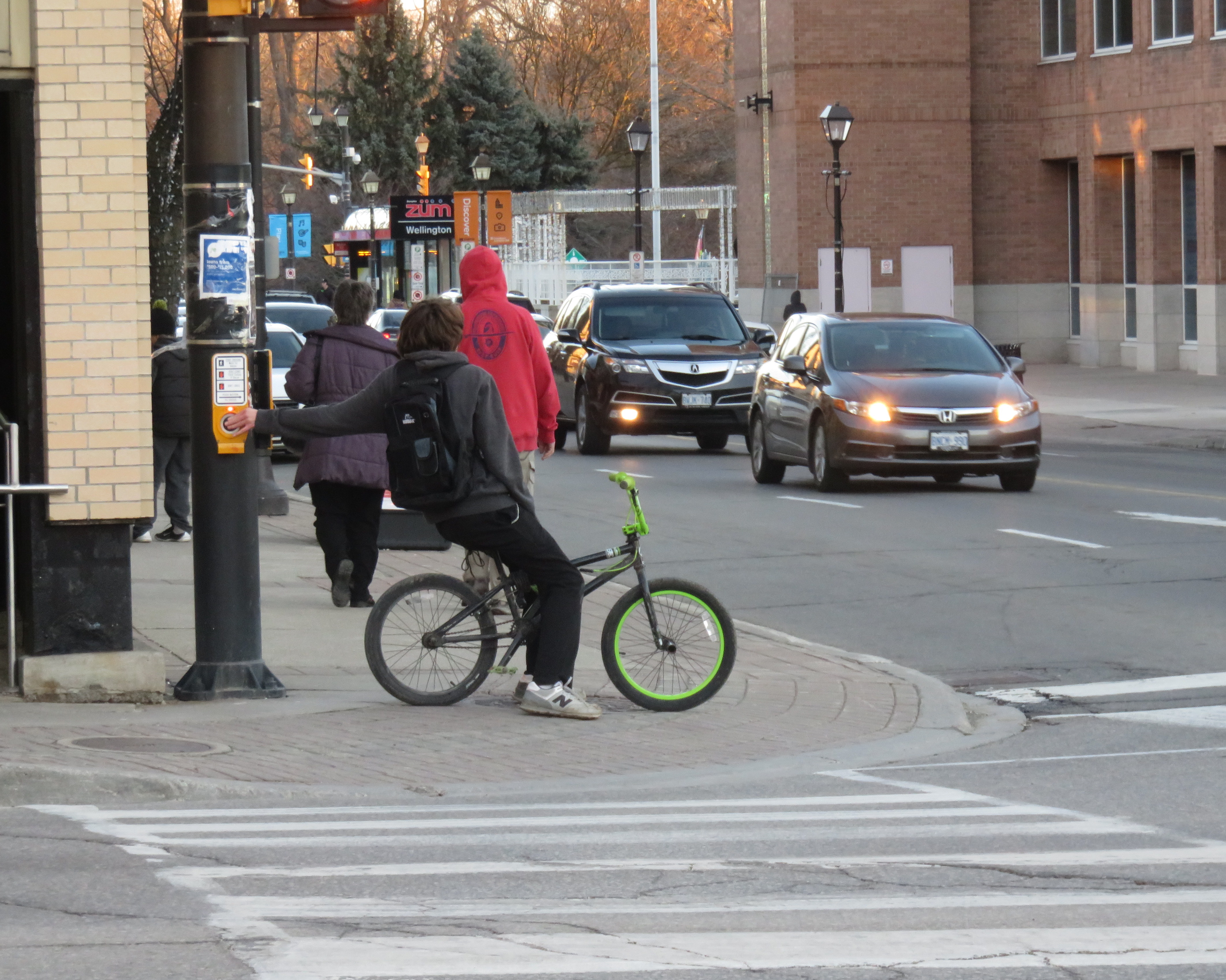 Sidewalks are narrow, and cyclists often take the sidewalks in Downtown Brampton.
