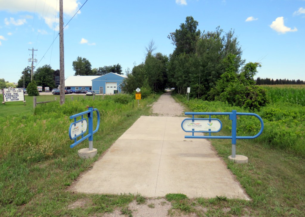
Within Southern Ontario, there are some excellent places to go for a bike ride, without needing a car to hit the trails or quiet country roads. GO Transit’s bus and rail network extends all the way to places like Hamilton, Niagara Falls, Peterborough, Brantford, and Kitchener, where great cycling routes can be found. One can make a one-way trip and get a bus or train back, and there are routes of many possible lengths, levels of difficulty, and comfort levels.
A while back, I wrote about a ride between Georgetown and Newmarket following the Caledon Trailway from Terra Cotta to Tottenham, then following country roads east to the Nokiidaa Trail between Holland Landing and Newmarket. A decade later, I decided to try to finish riding the former CN Beeton Subdivision to Barrie’s waterfront.
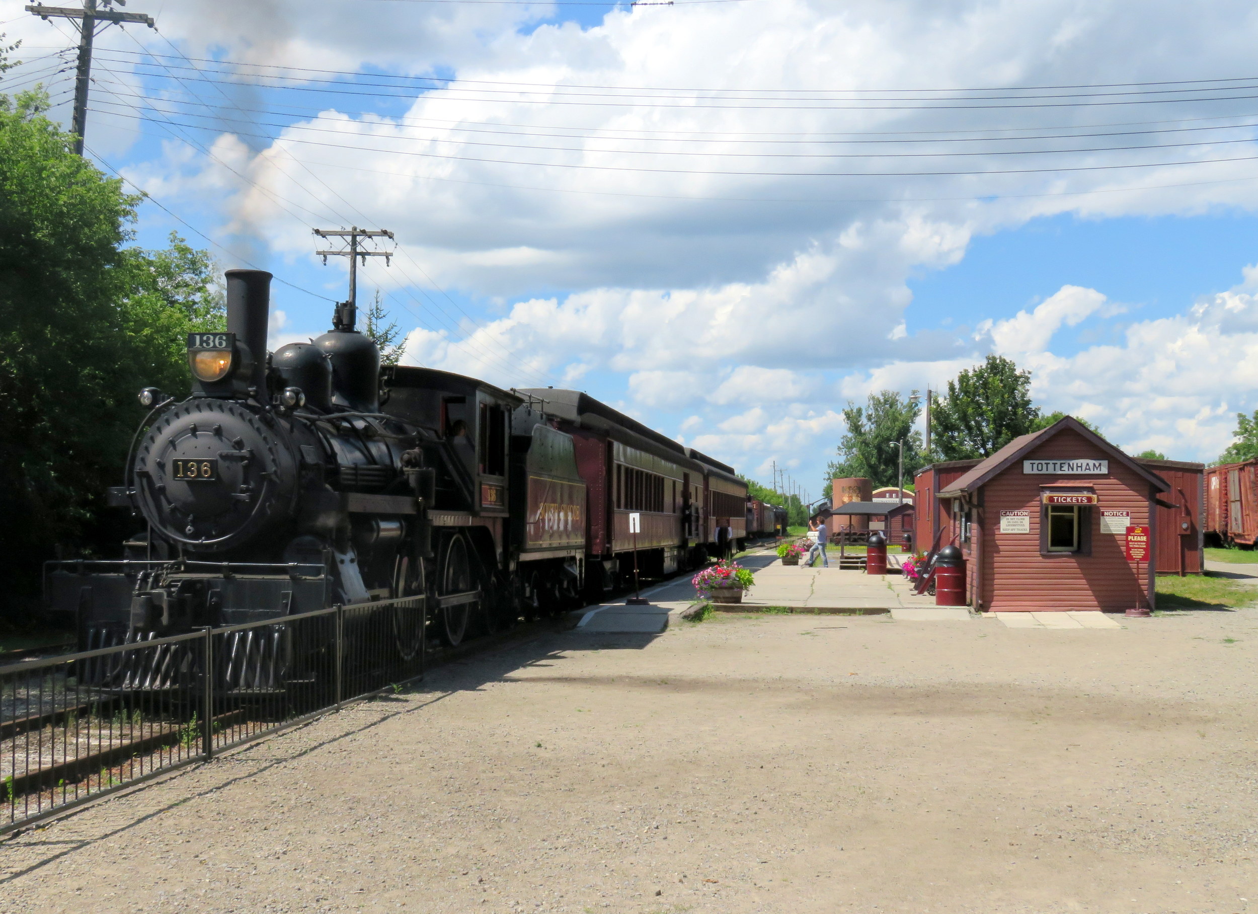
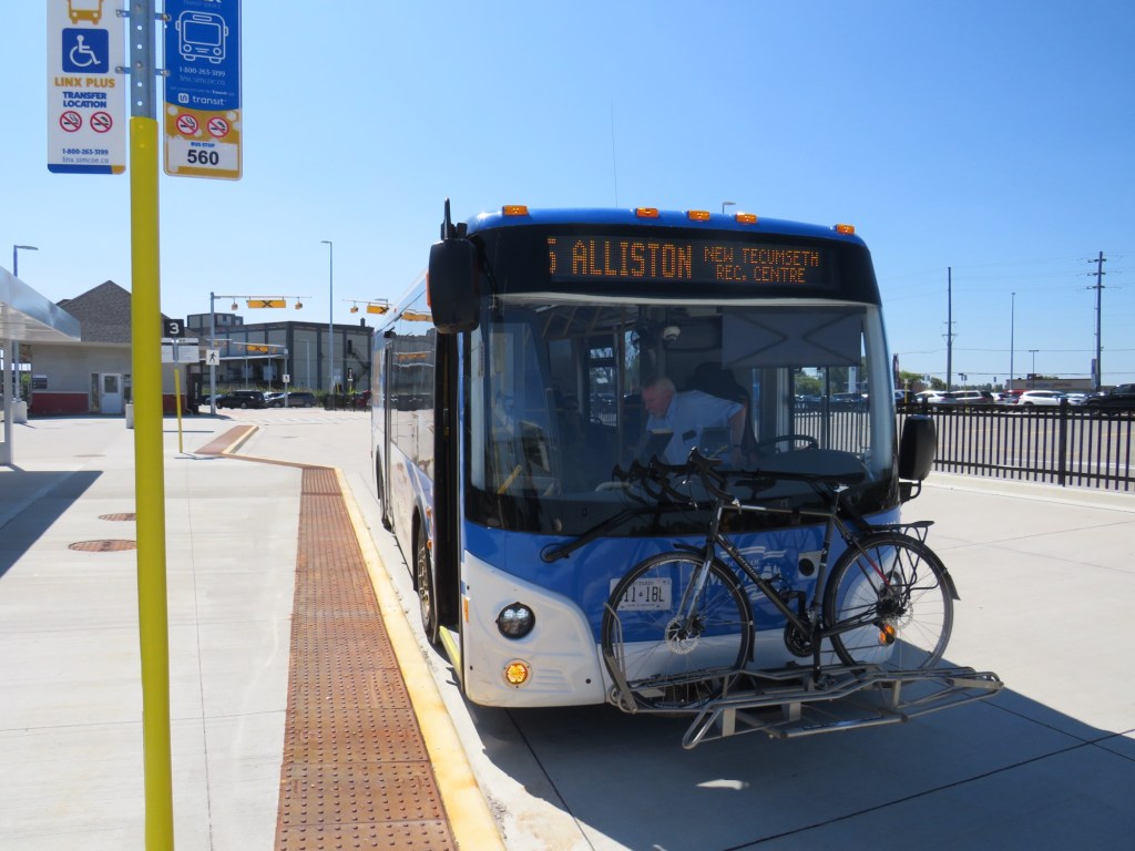
As the section of the former CN branch line between Tottenham — where I was on a previous ride — and Beeton remains in use by the South Simcoe Railway steam train operation, I started the ride in Beeton, at the north end of the remaining track. Beeton is also a stop on Simcoe County Linx’s Route 5 between Bradford GO Station and Alliston, which runs every hour during weekday daytime hours, making it an easy place to get to without a car.
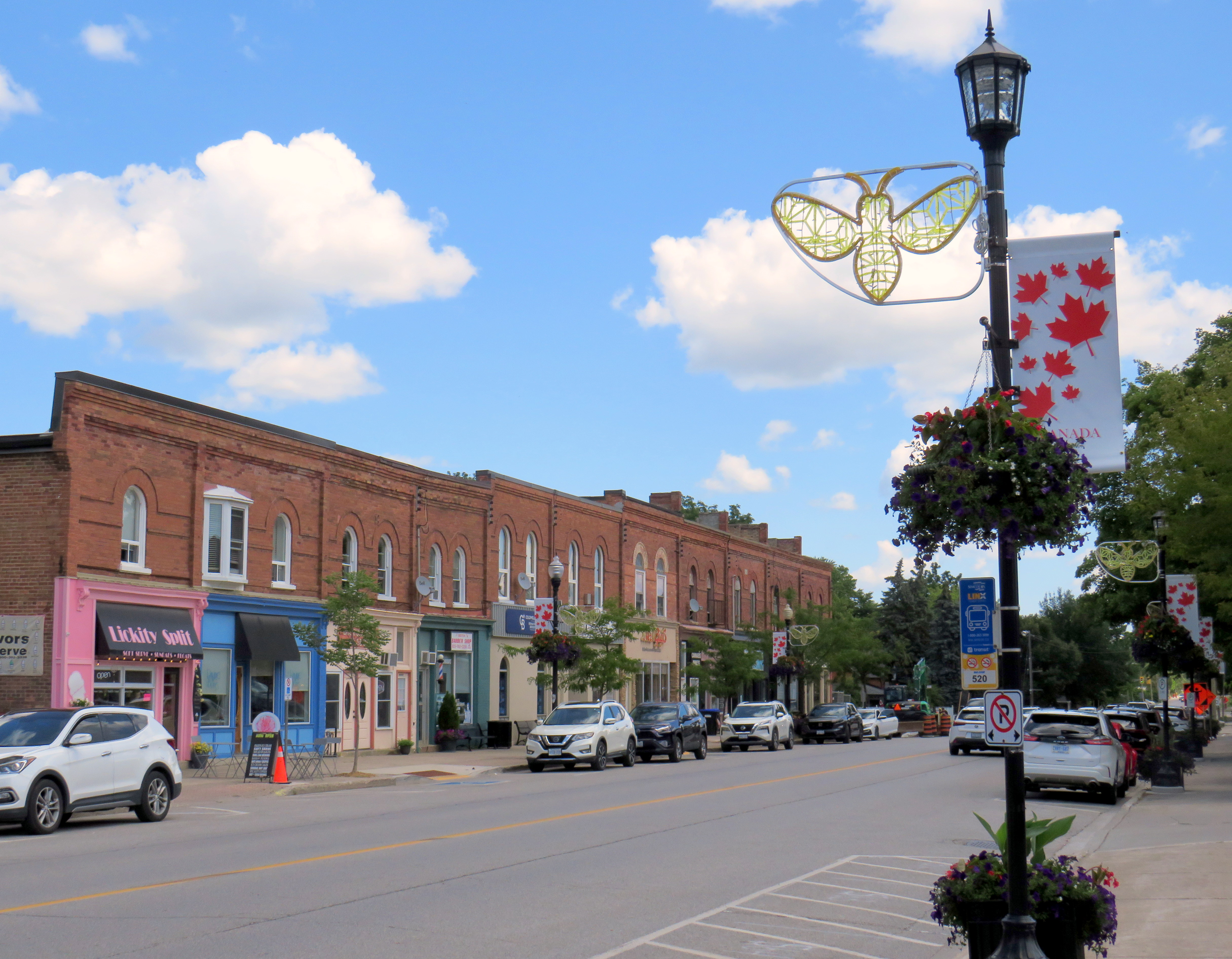
At Beeton, the SSR track comes to an end and the rail trail picks back up for a short bit. Unfortunately, there is no easy, safe cycling connection between Tottenham and Beeton; County Road 10 is a busy road without paved shoulders, and 4th Line, which leads east from Tottenham towards a quieter alternative route, is narrow, poorly maintained, and hilly, unsuitable for a casual cyclist or walker. Hence, the decision to skip the Tottenham-Beeton section.
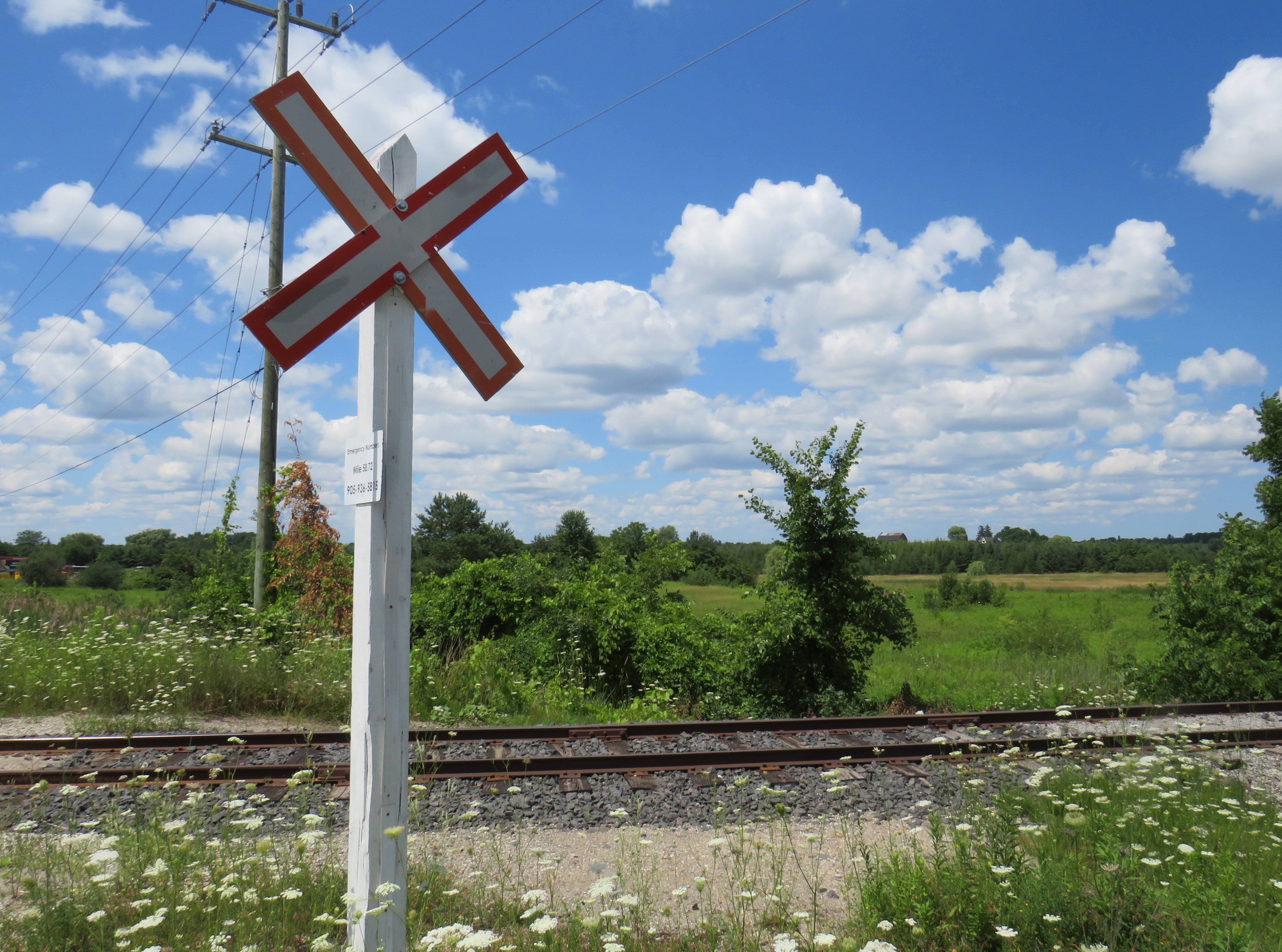
From Beeton’s Main Street, either Dayfoot or Centre Street provide quiet, low-traffic routes north to Line 9 (Lily Street) to a section of trail as far as Line 10. From there, pedestrians and cyclists must detour to 10th Side Road for 1.5 kilometres at Allimil due to a missing bridge over a small stream and a potato processing plant partly on the old right of way. Allimil was also once known as Beeton Junction as this was where a branch line split off the busier Hamilton-Allandale route to serve Alliston, Creemore, and Collingwood. That other branch line’s right-of-way, unfortunately, was not preserved.
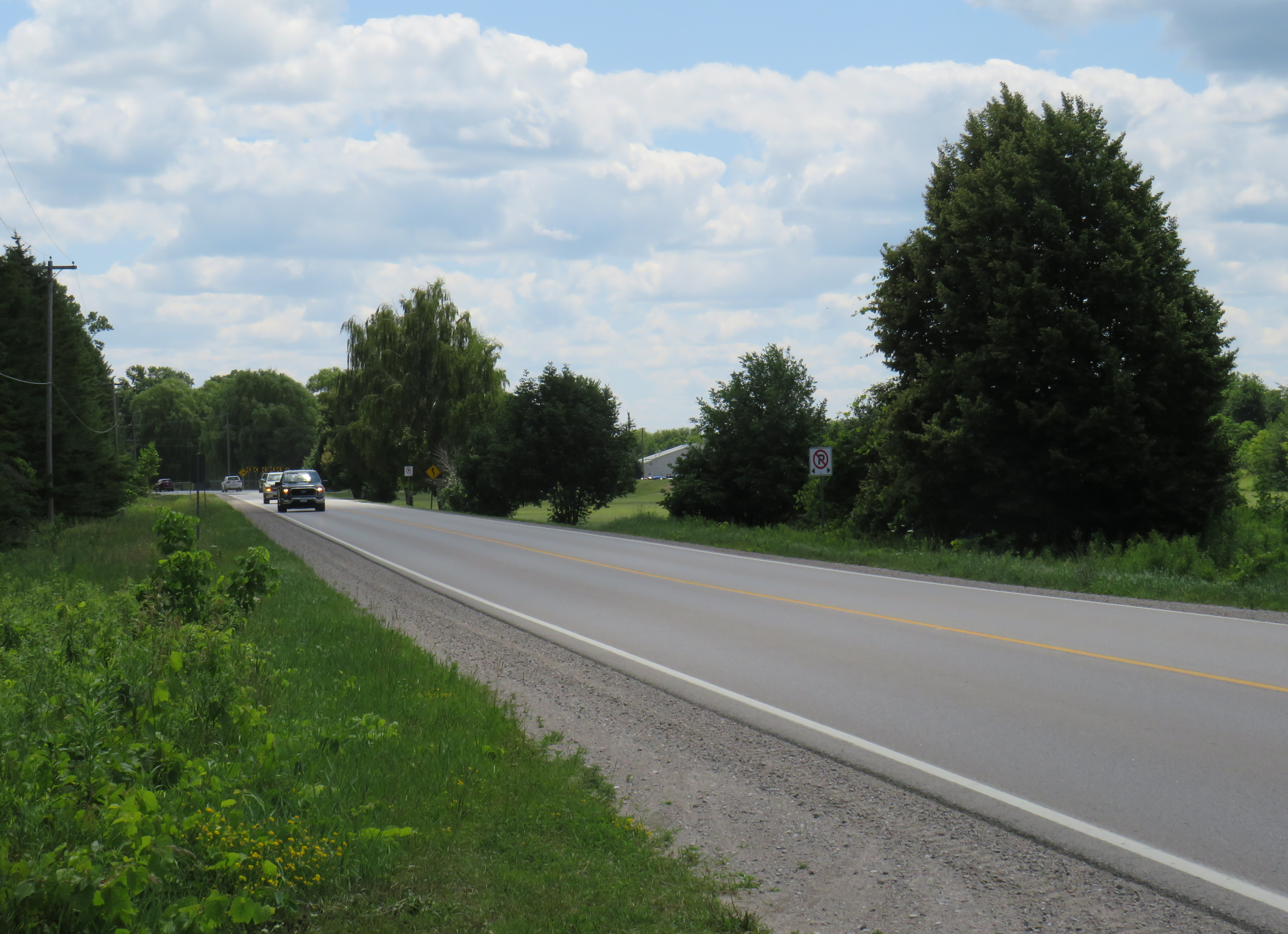
10th Sideroad is relatively busy, and there are no paved shoulders, but the traffic I encountered was generally respectful. That said, I was grateful to get back on the trail.
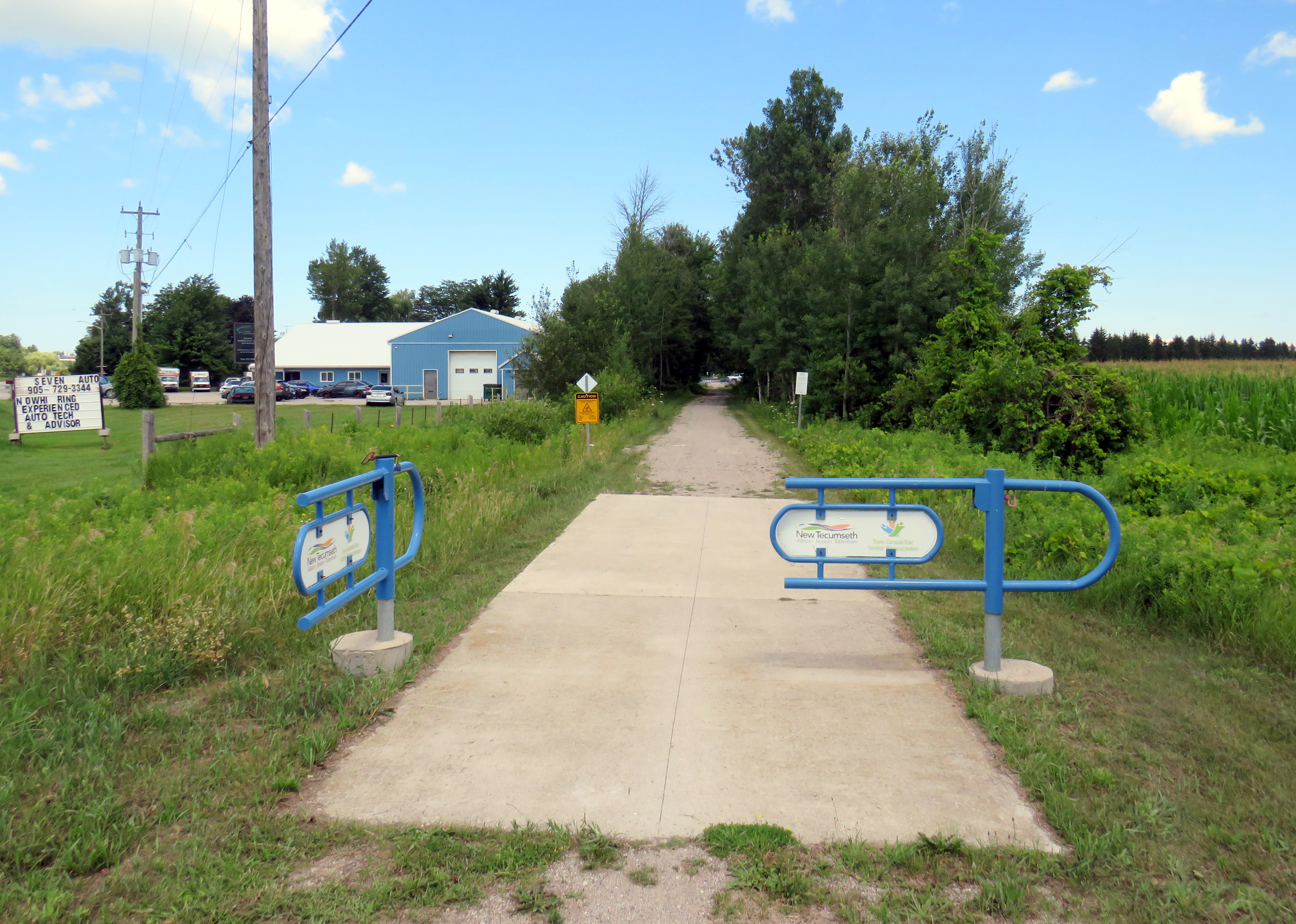
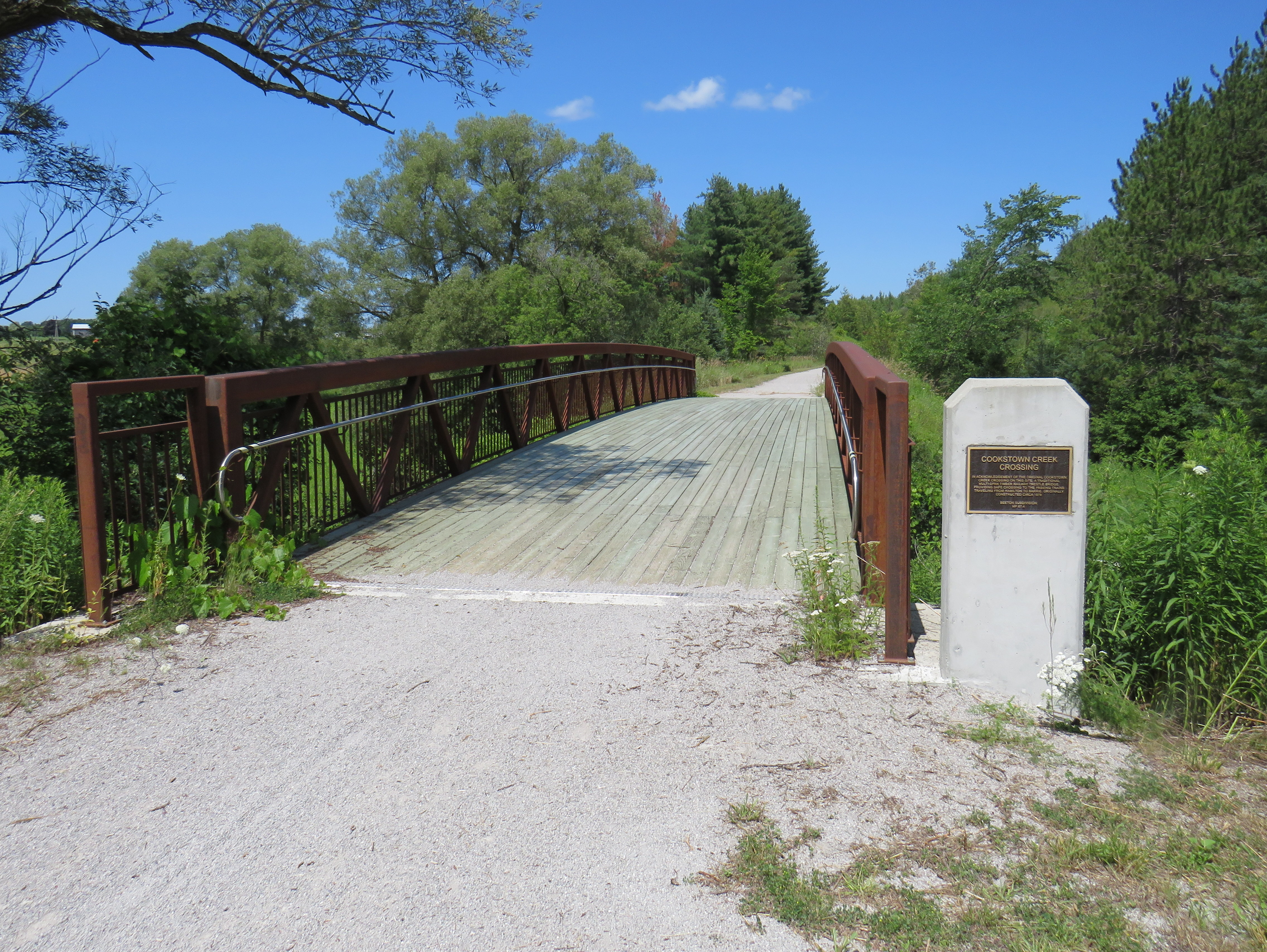
From this point as far as 5th Sideroad in Innisfil (and just south of Barrie), the trail is in great shape, with a consistent smooth gravel surface. The section between Allimil and Cookstown only opened less than a decade ago; where one property owner on Line 13 took over the old railbed, the trail properly detours around the farm without any hassle. A replacement bridge over Cookstown Creek is accompanied by photographs of the old wooden bridge.
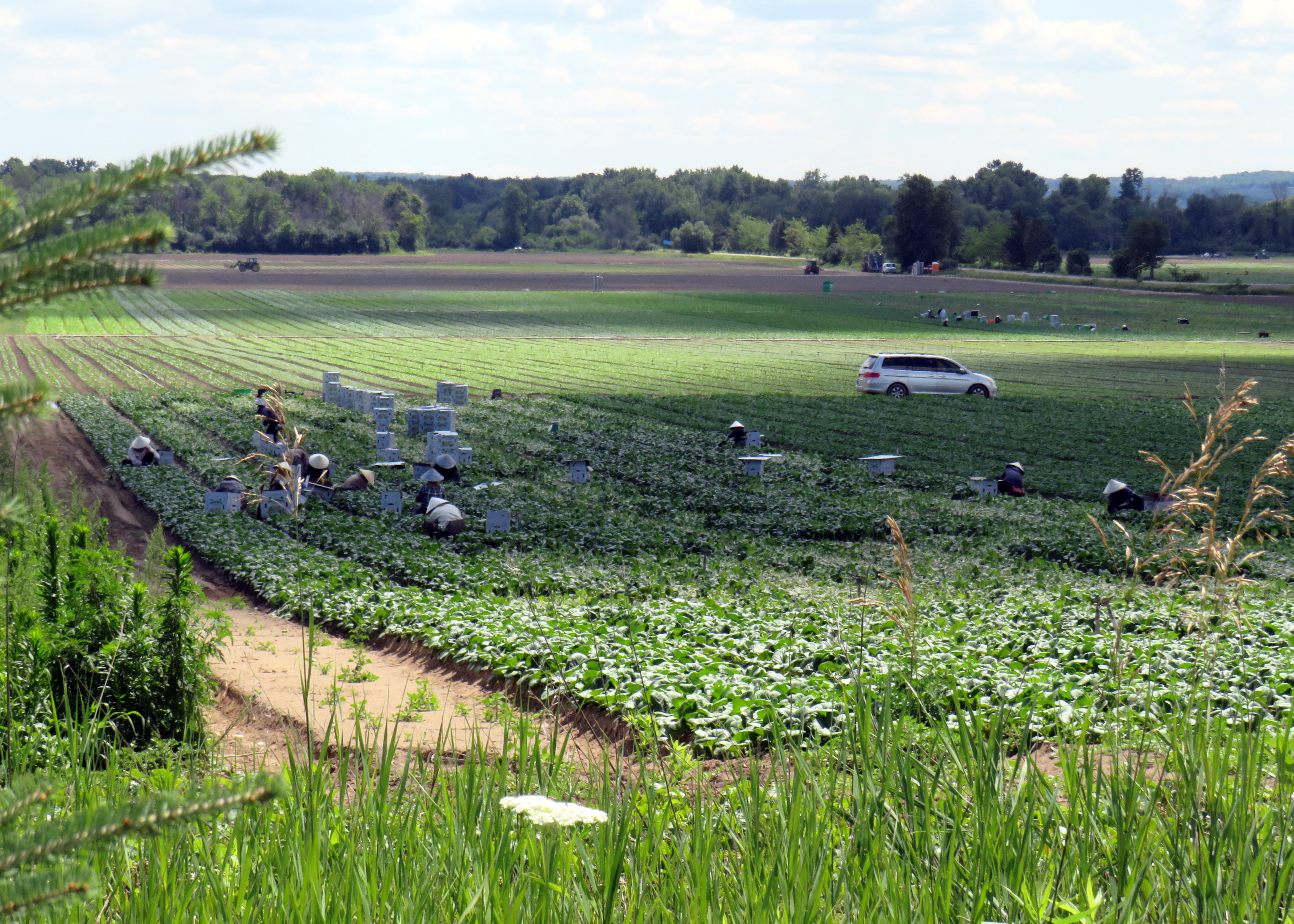
Southern Simcoe County is famous for vegetable production, including the Holland Marsh and the potato fields of New Tecumseh, Adjala-Tosorontio, and West Gwillimbury. The trail runs right through these lands, revealing how Ontarians get much of their food. Along the route, I spotted several dozen farm workers sporting nón lá to protect themselves from the sun while tending to leafy vegetables.
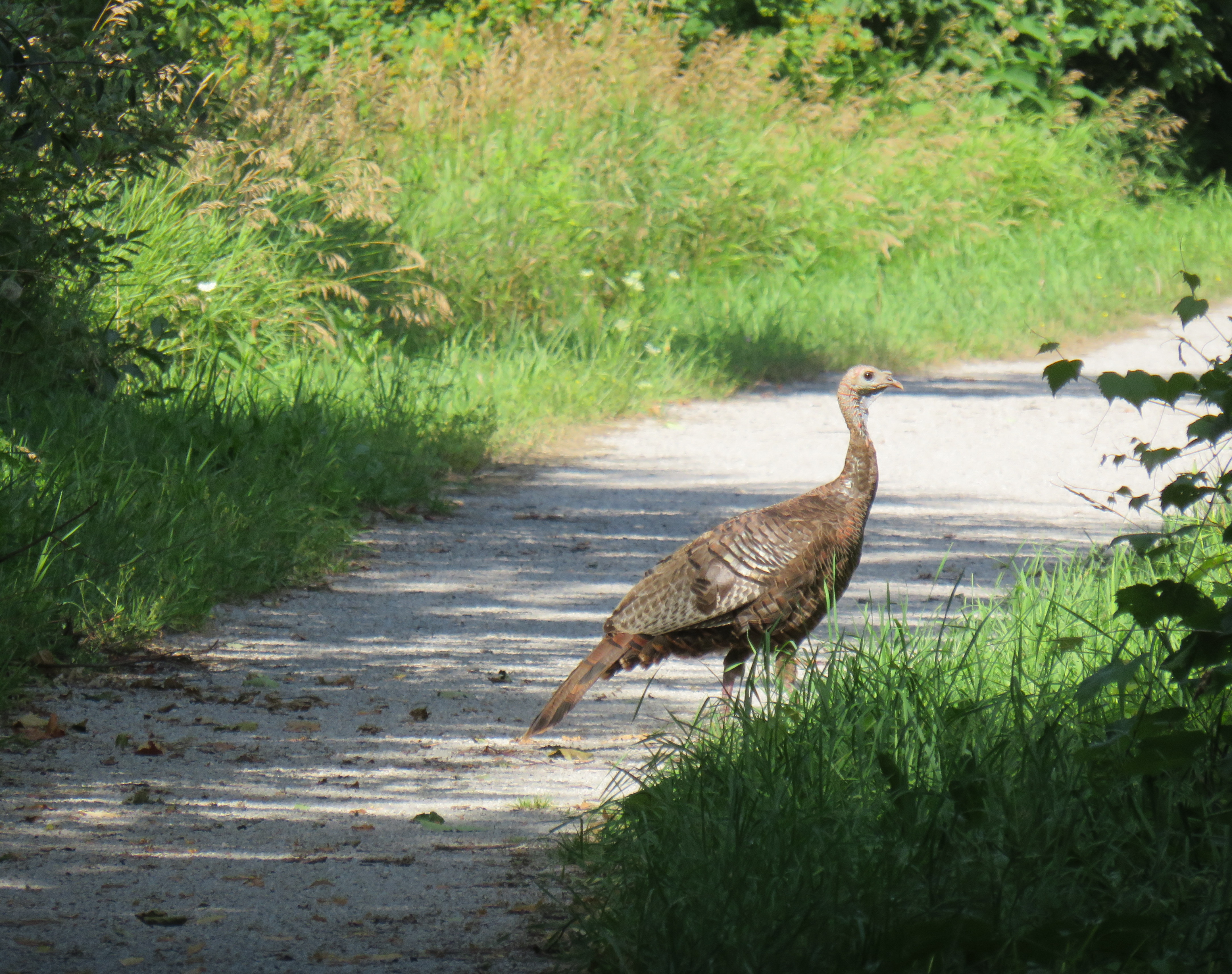
At Cookstown and at Thornton, signalized active transportation crossings allow pedestrians and cyclists to easily get across busy roadways. Benches and shade are plentiful, and there were a few pleasant surprises as well. If the trip from Beeton to Barrie had only the short diversion at Allimil, this would be an easy 40-45 kilometre ride. But then I encountered a very stressful ride into Barrie itself.
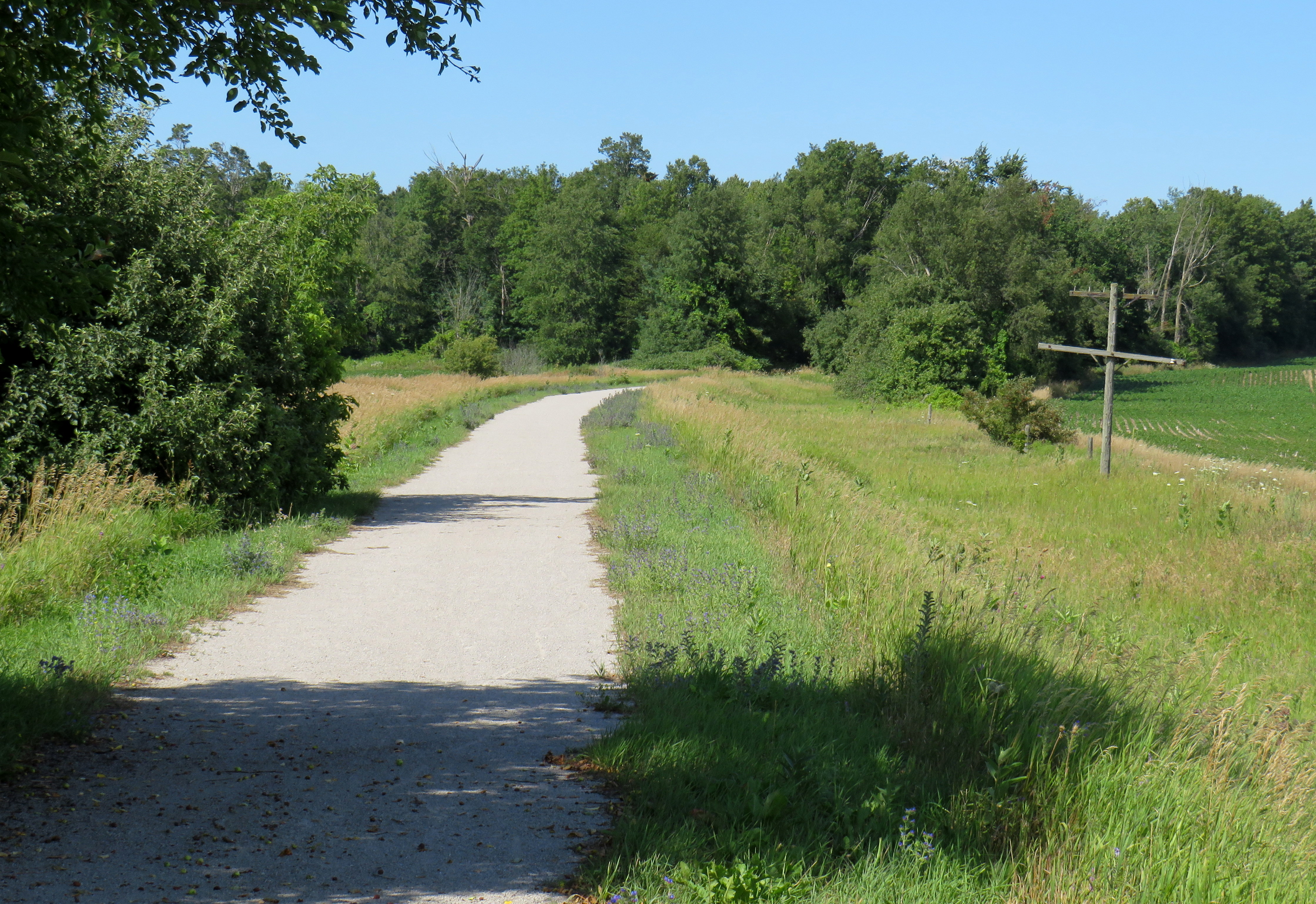
At 10th Sideroad, near the Georgian Downs Racetrack and Casino, the trail came to a sudden end, with no direction on how to continue onwards. The trailhead features a large parking lot, which makes it clear what type of recreational trail user is expected here.
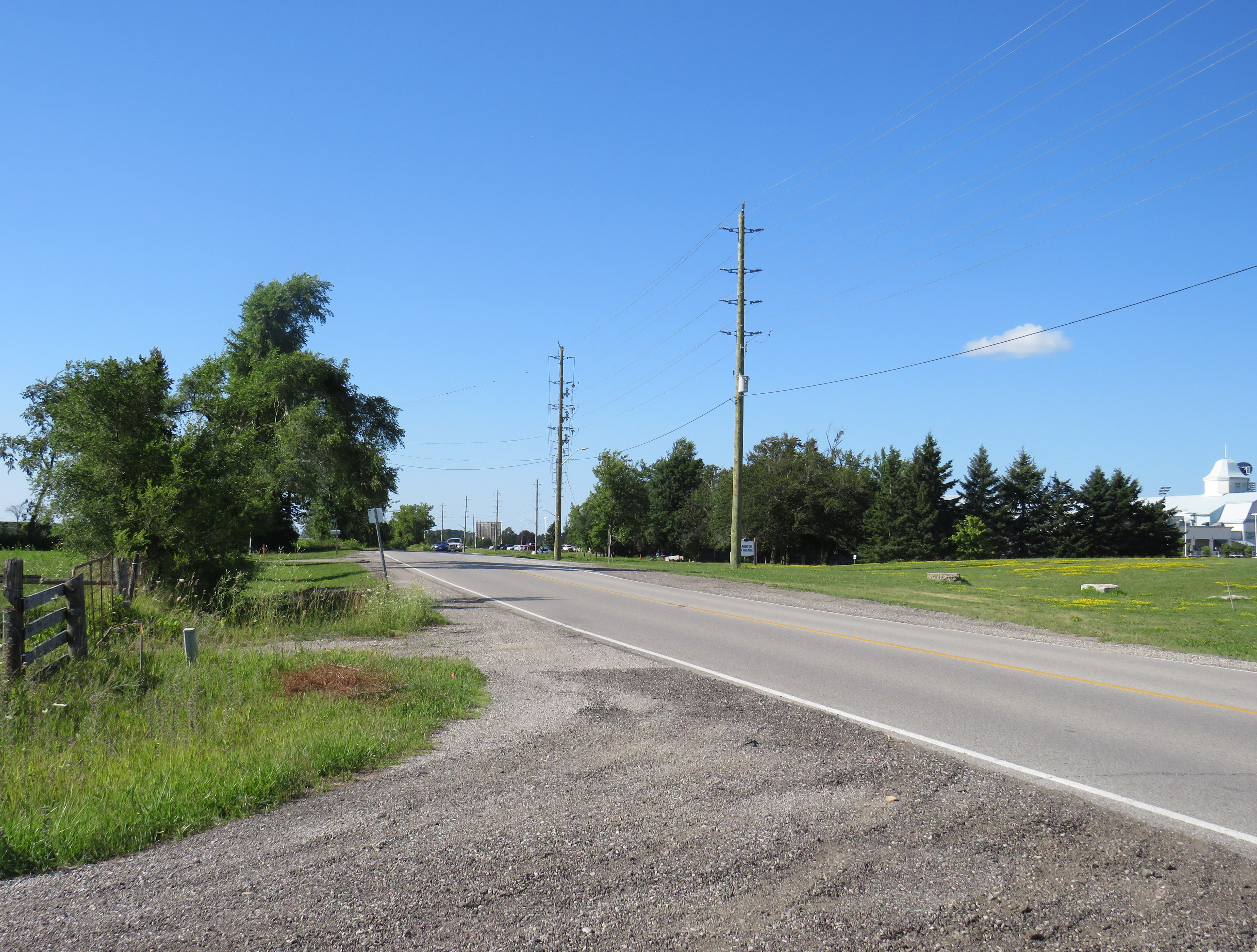
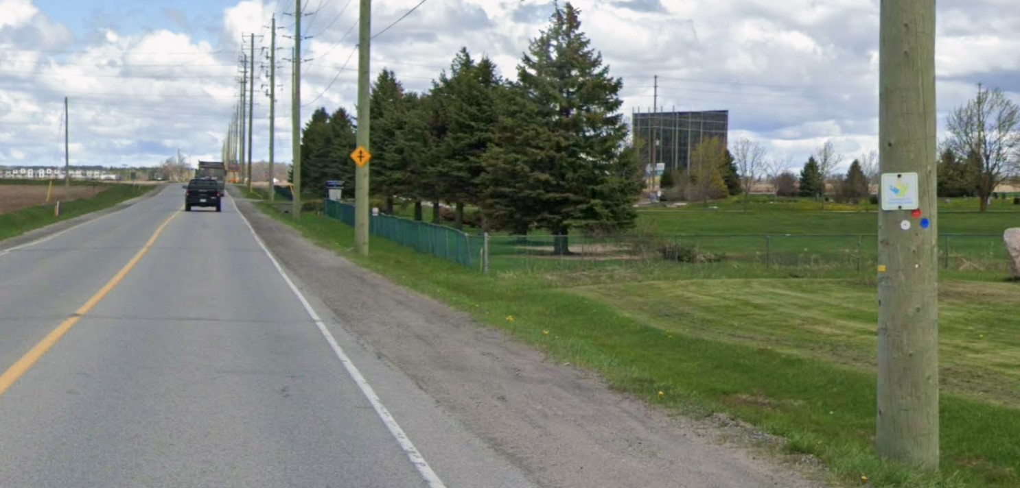
5th Side Road is a terribly busy traffic corridor as it parallels nearby Highway 400 and turns into Veterans Drive as it crosses into the City of Barrie. It’s a two lane road, with rough gravel shoulders, which means either dealing with heavy traffic while taking the lane (not recommended), riding in the grit, or walking the bike. At one point, I had to opt for the latter, coming up a hill on the Veterans Drive section in Barrie. The video below shows the conditions on this portion.
Ironically, 5th Side Road and Veterans Drive are part of the designated Trans Canada Trail, along with the Caledon Trailway (along with the Tottenham extension) and the Beeton-Innisfil route. I spotted several TCT signs along 5th Side Road and Veterans Drive despite the dangerous conditions present.
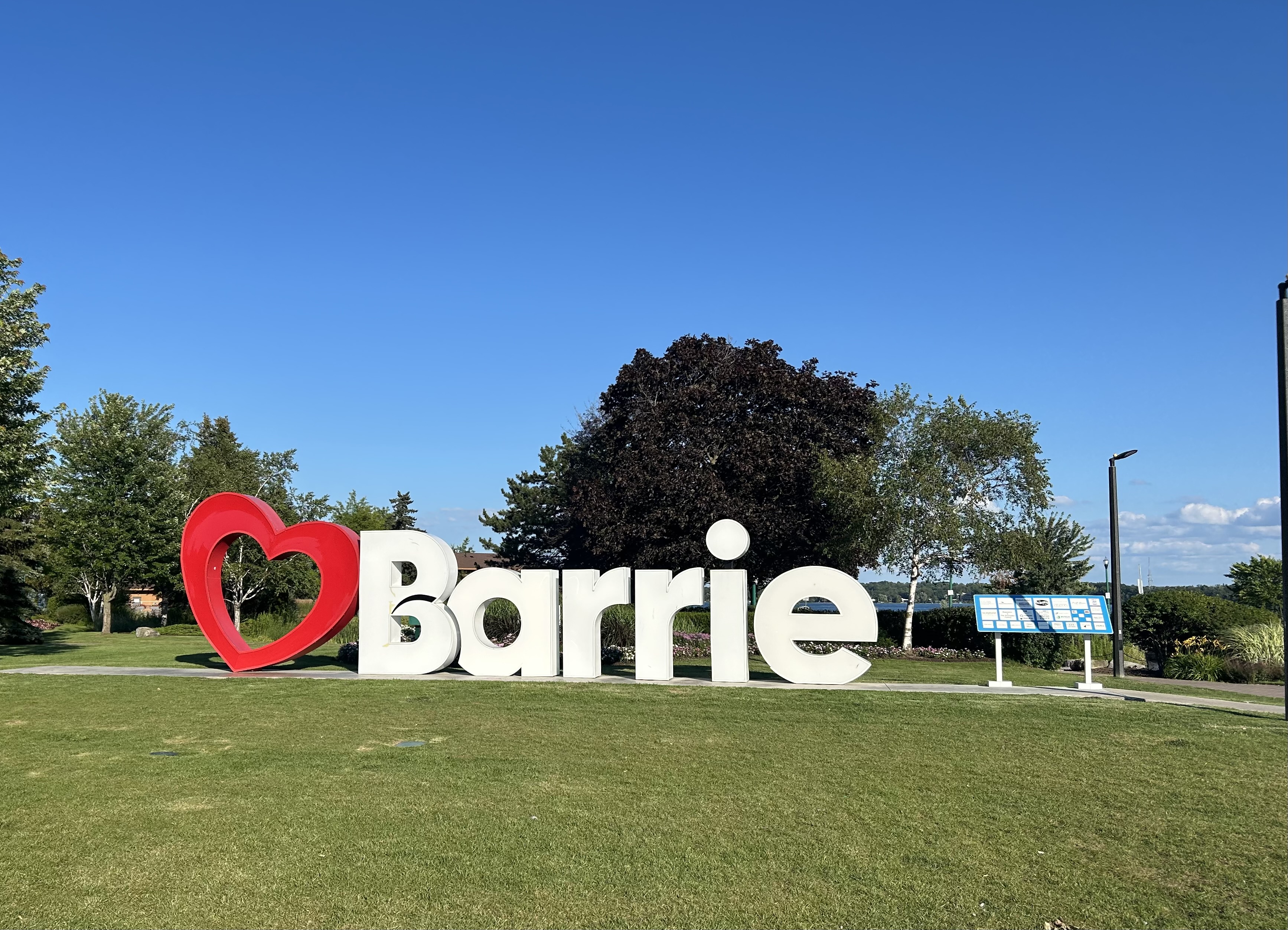
Finally, at Salem Road, Veterans Drive widens from two narrow lanes to an urban four-lane road, complete with painted bike lanes. At this point, I could comfortably ride, following Veterans Road and crossing Highway 400 on the Harvie Road overpass, a much safer ride than the official TCT route via Mapleview Drive. From there, it was an easy downhill ride into Allandale and to Barrie’s waterfront. I had dinner in Downtown Barrie, then took the evening GO train back to Toronto.
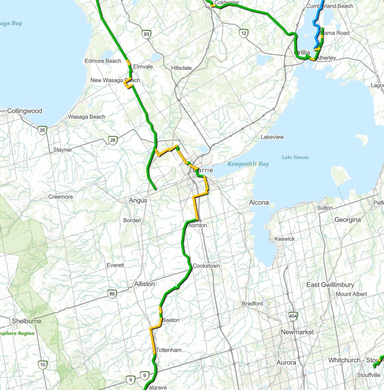
As I found out the hard way, once again, the Trans Canada Trail remains more of an aspiration than a reality. As much of the trail remains incomplete, the online map shows many yellow sections, which indicate on-road sections, usually without any cycling infrastructure. Furthermore, there are many sections that can not be walked or biked at all, but requires a kayak, canoe, or other watercraft, even in Southern Ontario, where active transportation infrastructure is dependant on municipal and provincial initiatives to build those quality, multiuse trails.
,
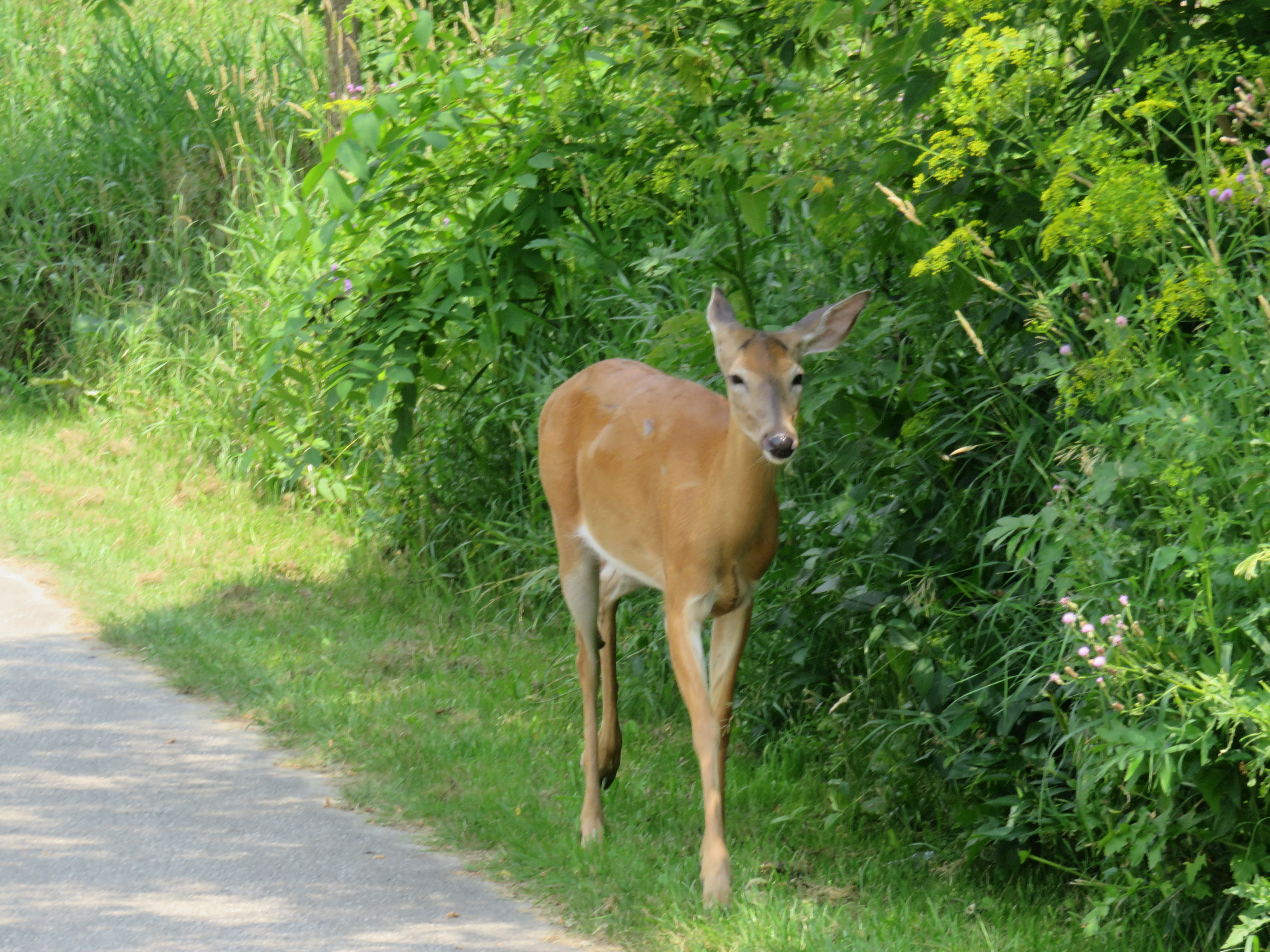 You never know who you might meet when you ride through Toronto’s ravines

