Last weekend, I went for a ride in Waterloo Region, particularly in Wilmot Township, to the west of Kitchener-Waterloo. Despite some deceptively difficult hills and a strong headwind going back east, it was a very pleasant ride. Outside of Toronto, motorists seem to be quite courteous towards cyclists, with most giving me plenty of room. It helped too that many of Waterloo Region’s rural roads have paved shoulders.
I made several stops along the way, including Castle Kilbride in Baden, a wonderfully preserved Victorian home. It was built by the Livingston family, who made their fortune in flax and linseed oil. The house, a national historic site, is now a museum operated by Wilmot Township.
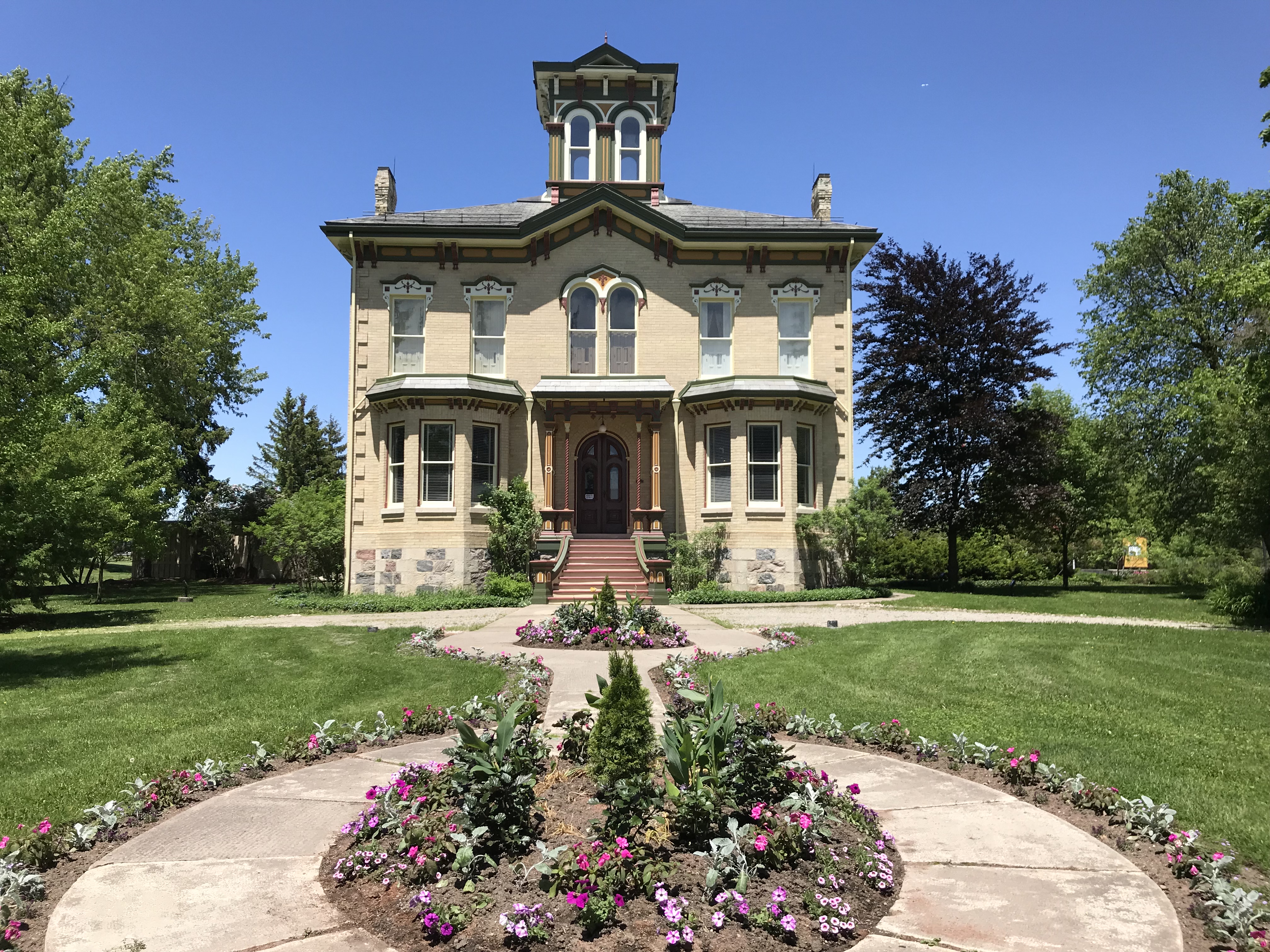 Castle Kilbride
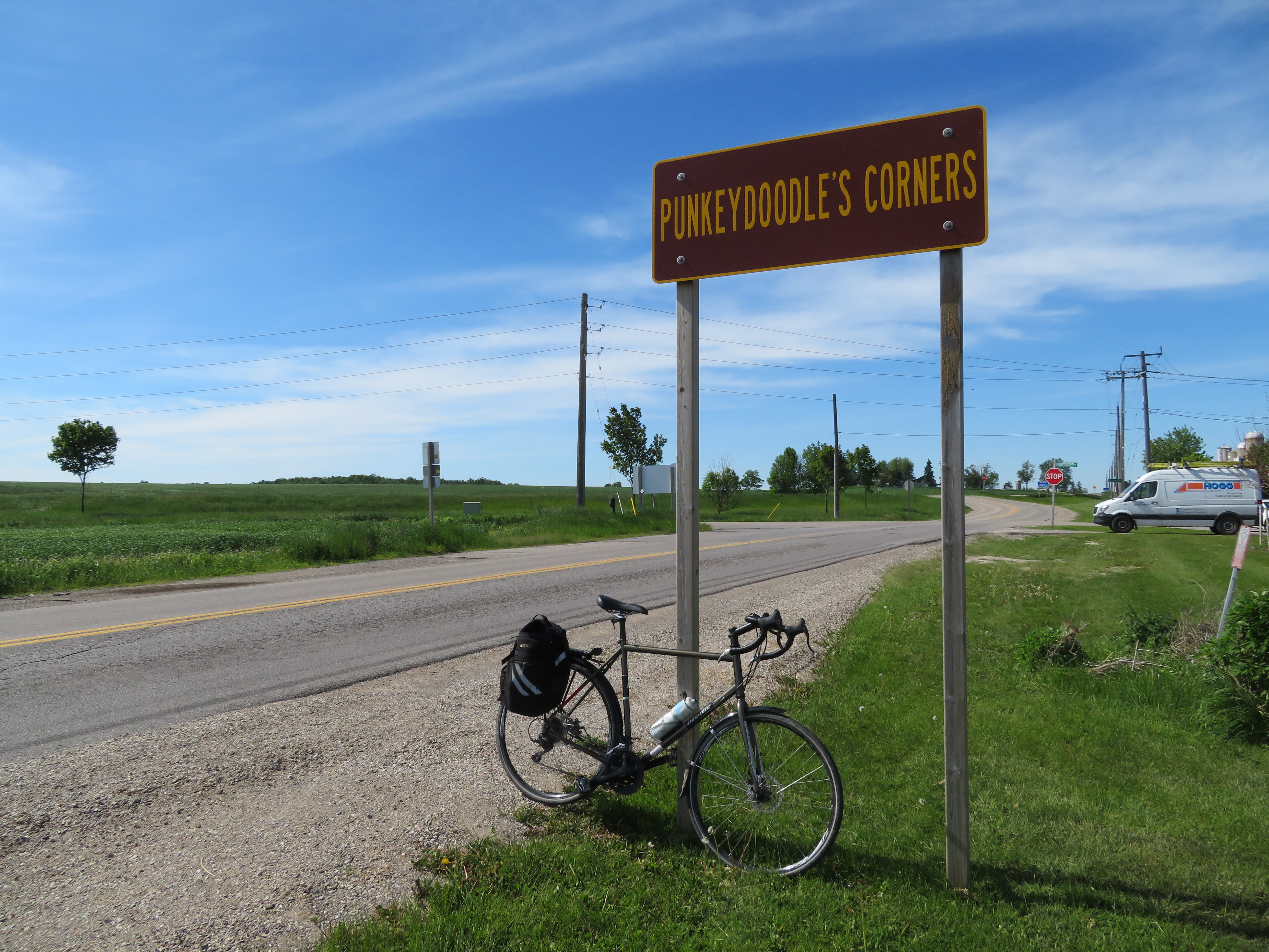
I biked as far west as the interestingly named hamlet of Punkeydoodle’s Corners, located at the point where Waterloo Region, Perth County, and Oxford County meet.
Though the origin of the crossroads’ name is not known for sure, the most common theory is that a local innkeeper on the old Huron Road (an early colonization road that connected Guelph with Goderich on Lake Huron) like to sing “Yankee Doodle,” but it sounded more like “Punkey Doodle” to his patrons. The hamlet is now bypassed by Highways 7 and 8, and local business migrated to nearby New Hamburg, located on the railway.
The Punkeydoodle’s Corners signs are commonly stolen, and one of the signs was obviously missing when I visited. But there’s one more claim to fame: the world’s highest street address number: 986039 Oxford-Perth Road.
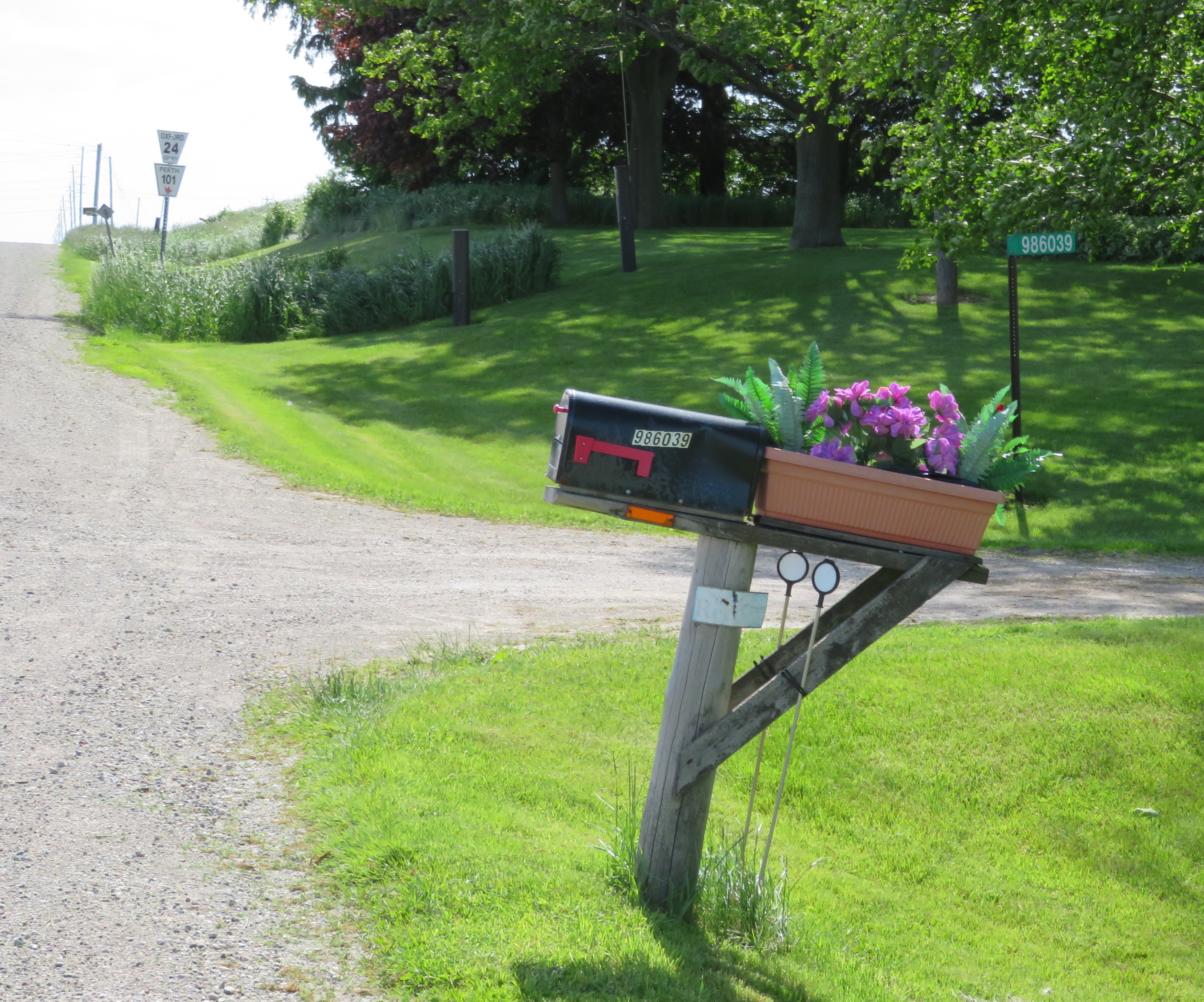 986039 Oxford-Perth Road, a private residence with what is probably the highest numbered address in the world. Road markers for Oxford County Road 24 and Perth County Road 101 are in the background.
In many parts of Ontario, rural addresses have a six-digit number, often known as 911 or fire numbers. In Dufferin County, for example, the first two digits refer to the road itself, with each rural road assigned an unique number. Each road is then broken down into sections, represented by the third digit. The last three digits indicate the distance — in decametres — from the beginning of the road section to the property’s entrance, with even numbers on the west or south side of the road.
Before 911 numbers were introduced, addresses might only consist of a family or business name, rural route number and the name of the village or town with the nearest post office, or by the property’s lot and concession numbers.
For example, 795112 3rd Line East, Mono, is the address of Mono Cliffs Provincial Park. The number 79, an odd number, has been assigned to the 3rd Line East of Hurontario Street (which runs north-south), while the third digit, 5, represents the section of 3rd Line East north of Mono Centre Road. The entrance to the park is 1.12 kilometres north of Mono Centre Road, on the west side of the road.
This system allows emergency responders to pinpoint an address quickly and accurately. This is especially important in rural areas, where emergency personnel may be volunteers arriving in their own vehicles. In many parts of southern Ontario, rural roads may simply go by a name, or they may also have a highway or county road number, or still be known by their concession or line numbers. Urban areas, like Orangeville and Shelburne in Dufferin County, have their own numbering systems, separate from the rural 911 addresses.
Each county may have a slightly different system, but they all have the same purpose. 986039 Oxford-Perth Road just happens to be in the far southeast corner of Perth County, hence its high number. The lowest address numbers in rural Perth County can be found in the northwest corner, near Molesworth.
It’s worth noting that not all rural areas developed similar numbering systems. In Toronto and York Region, road addresses are based on their origin point. For east-west streets that cross Yonge Street, street numbers start on other side. For example, Yonge Street’s numbering starts at 1 Yonge Street, the Toronto Star Building, and ends at 21137 Yonge Street, where it unceremoniously disappears into the Holland Marsh.
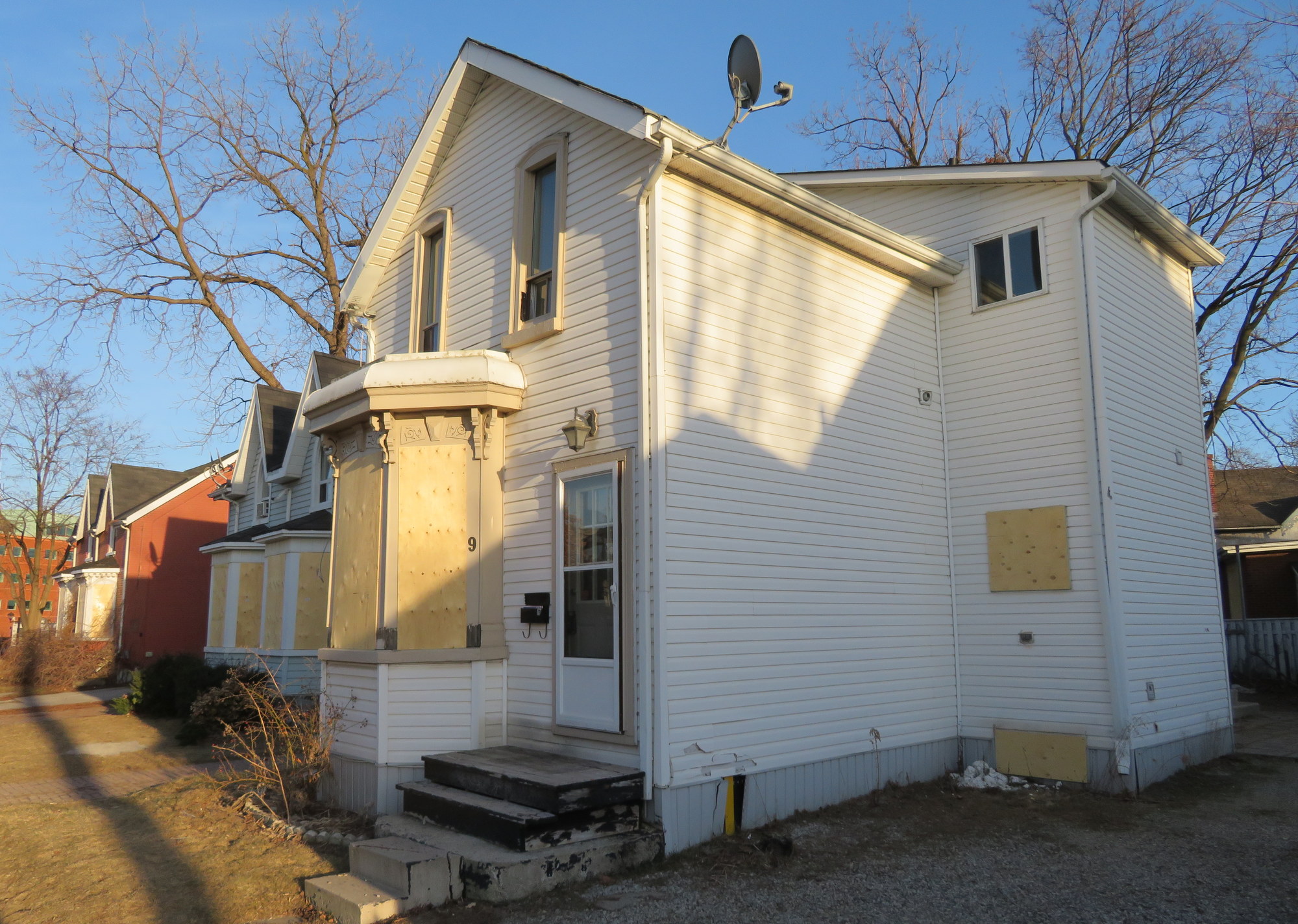
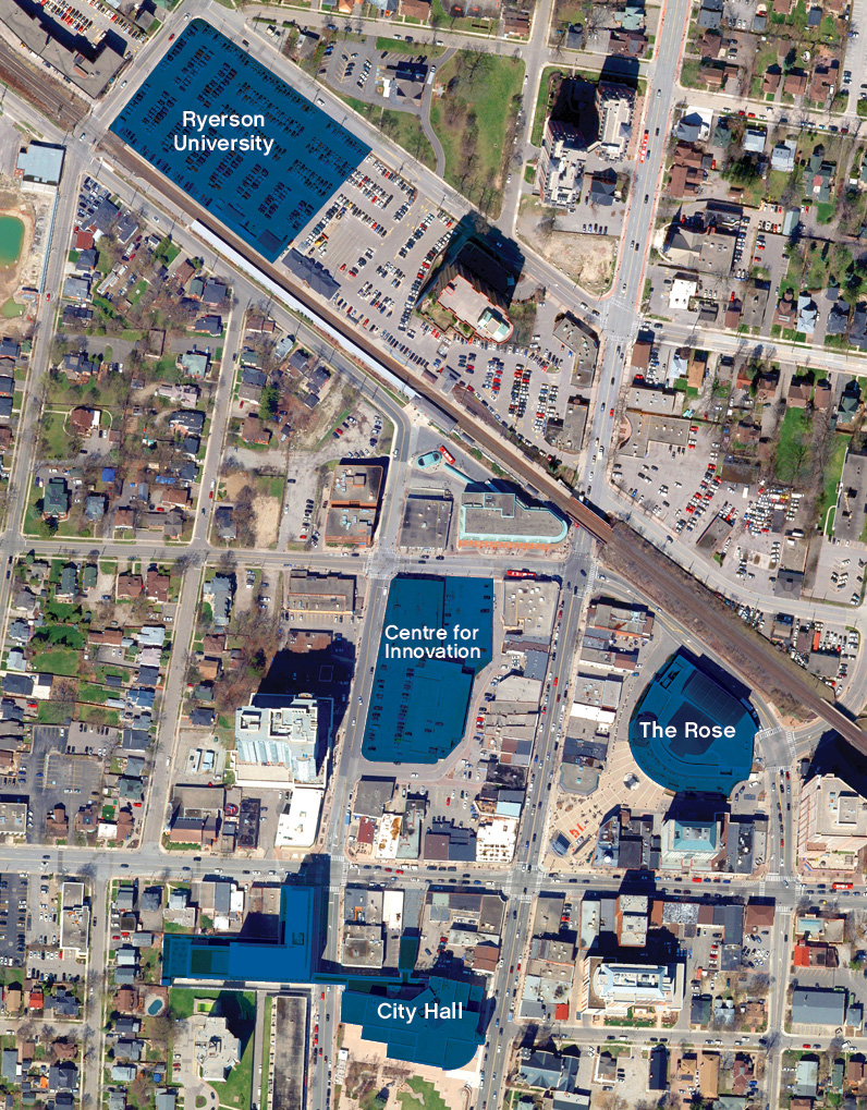 Previous plans for Downtown Brampton, including the Centre for Innovation and the Ryerson campus on the GO Transit lot. Replacement parking would be built on land assembled south of the rail corridor.
 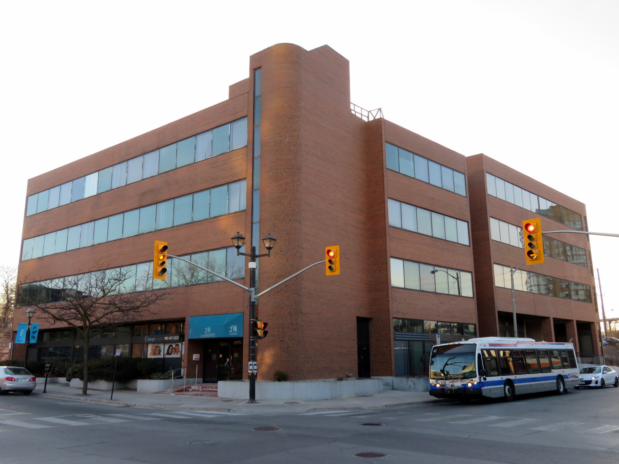 Vacated office buildings at George and Nelson Streets that may see new life under the city’s new plans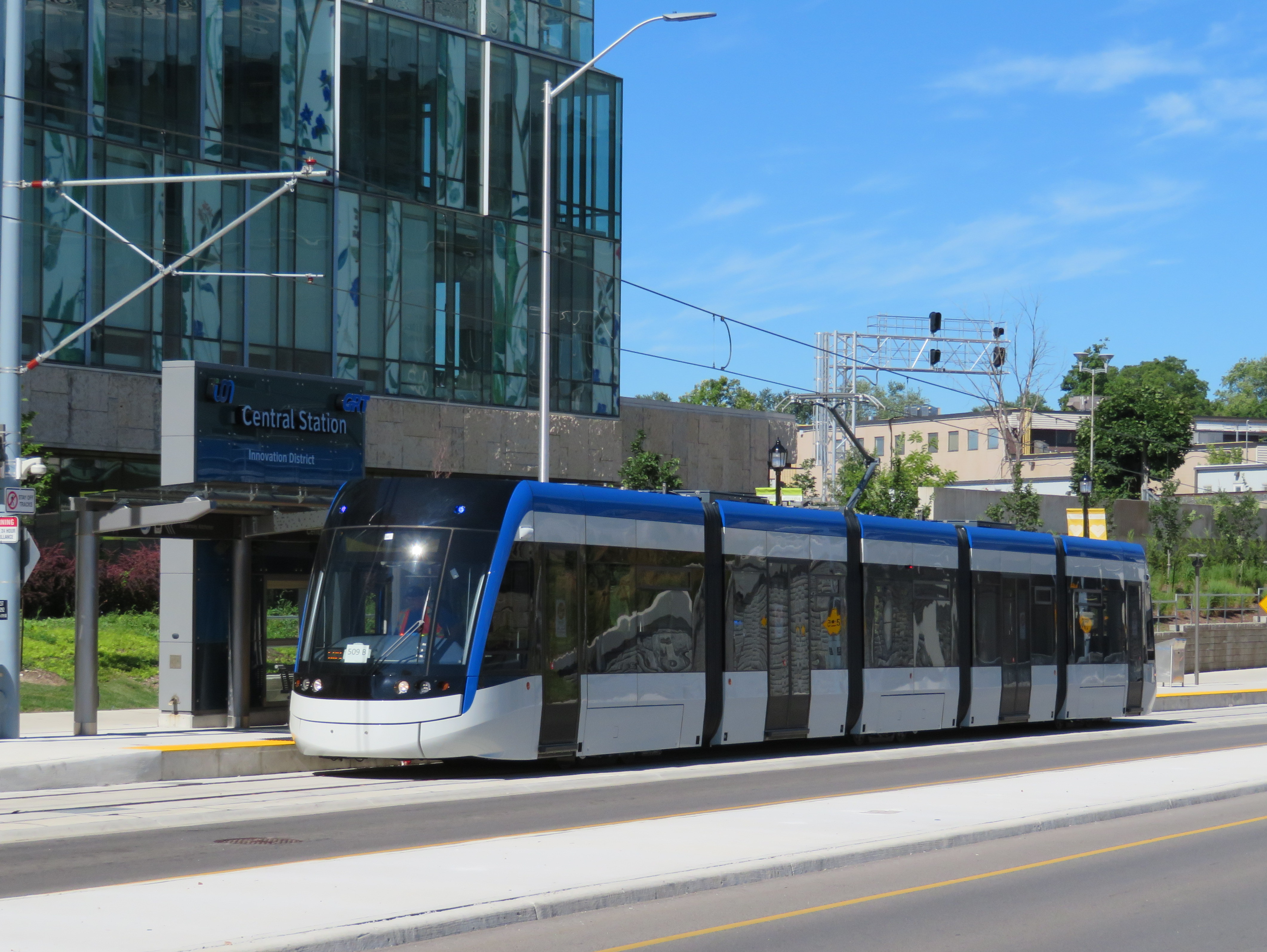
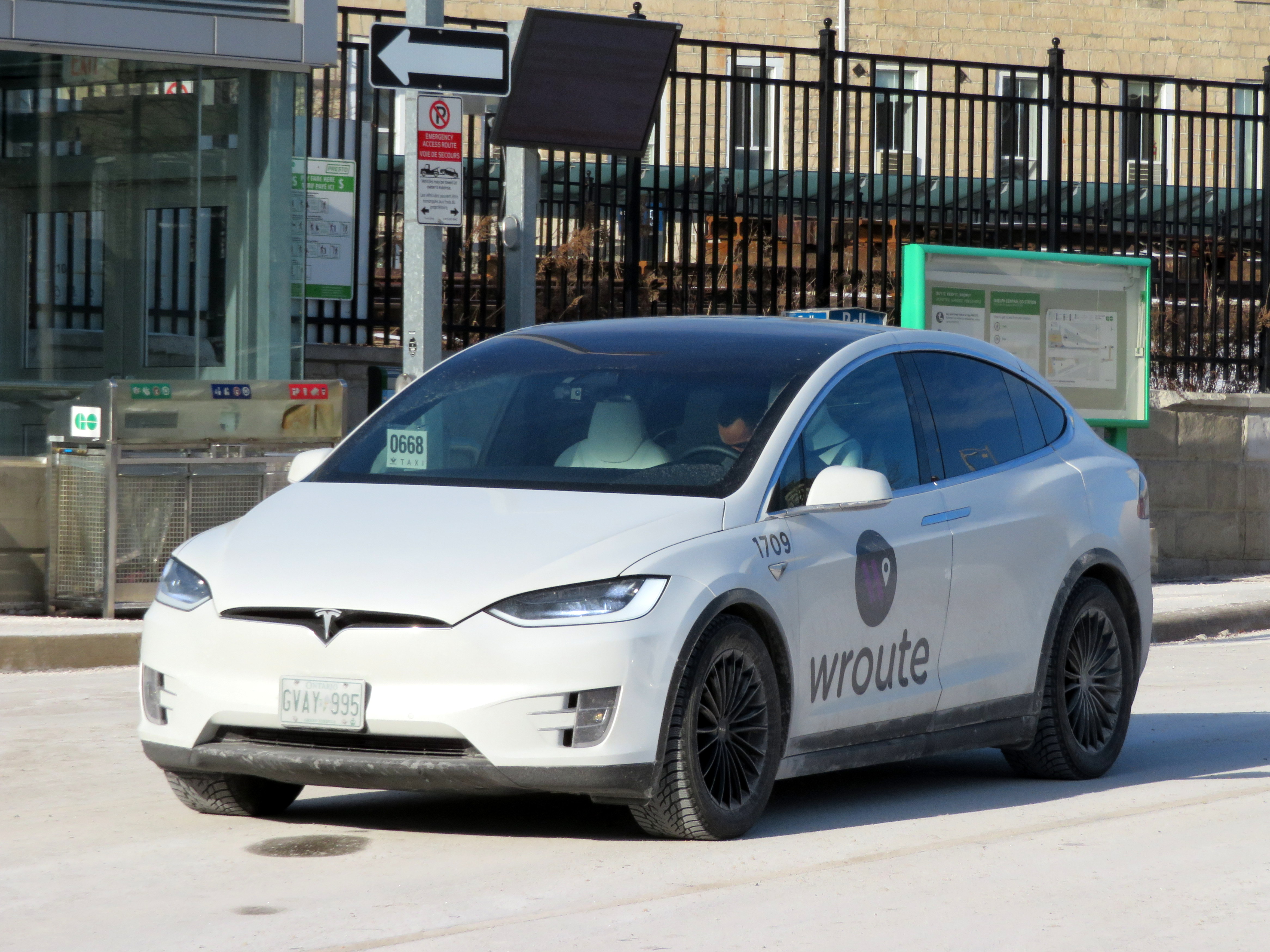 Wroute Testla at Guelph Central Station, January 2019

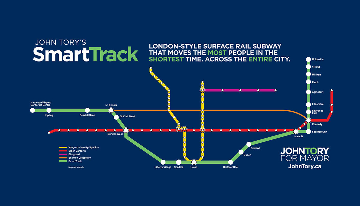 SmartTrack map from the 2014 John Tory campaign
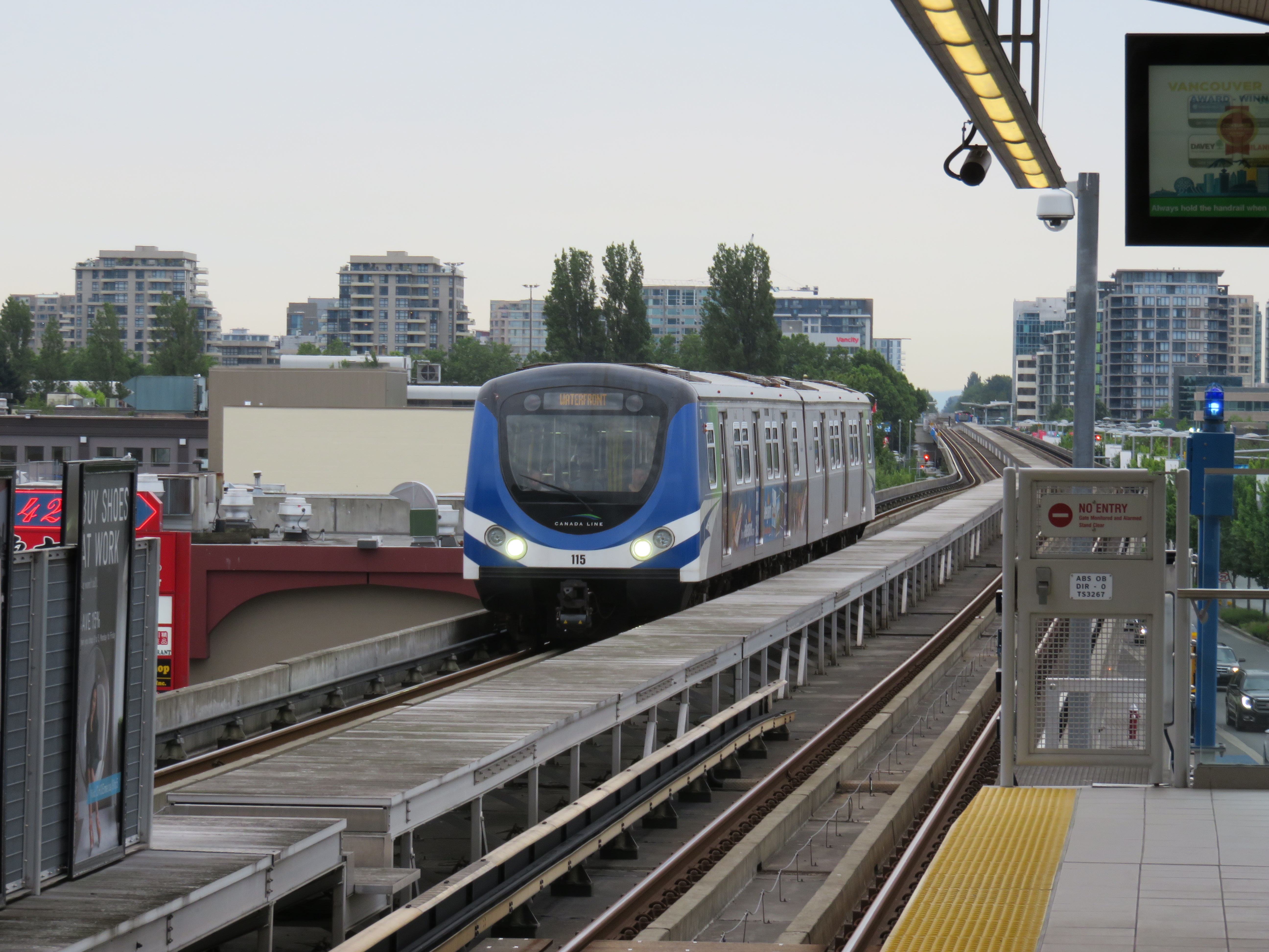 Canada Line in Richmond, British Columbia
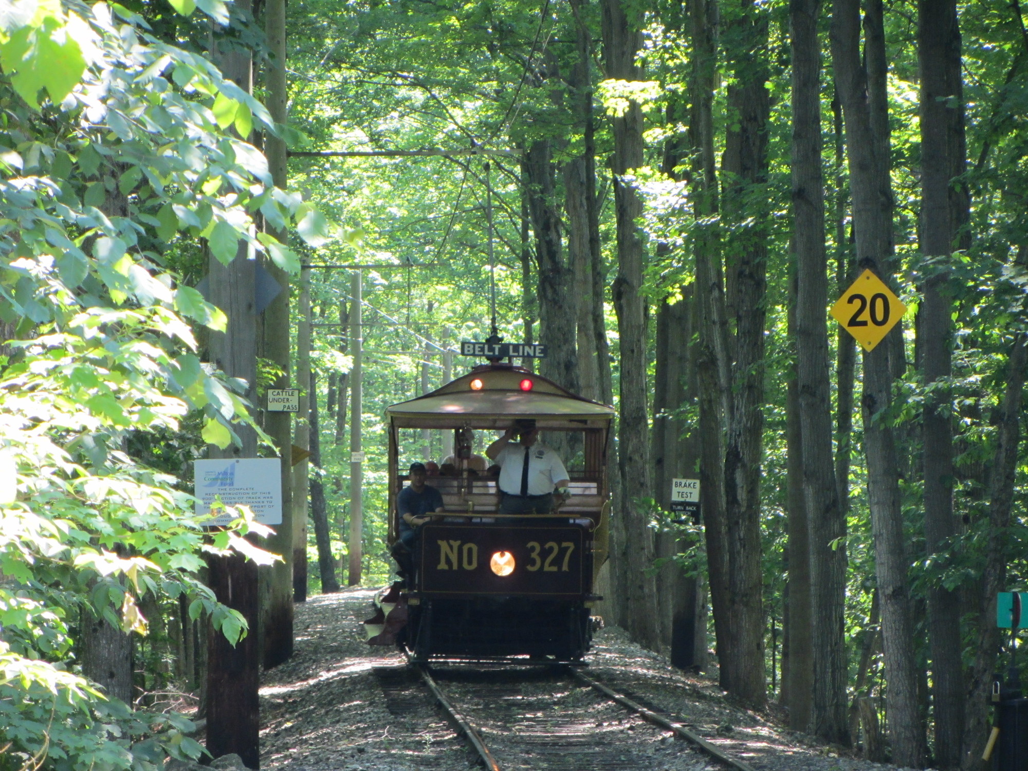 Replica of Toronto Railway Company streetcar #327 operates at the Halton County Radial Railway museum, with the unique glass bulbs visible below the metal “Belt Line” sign. Photo taken June 2012
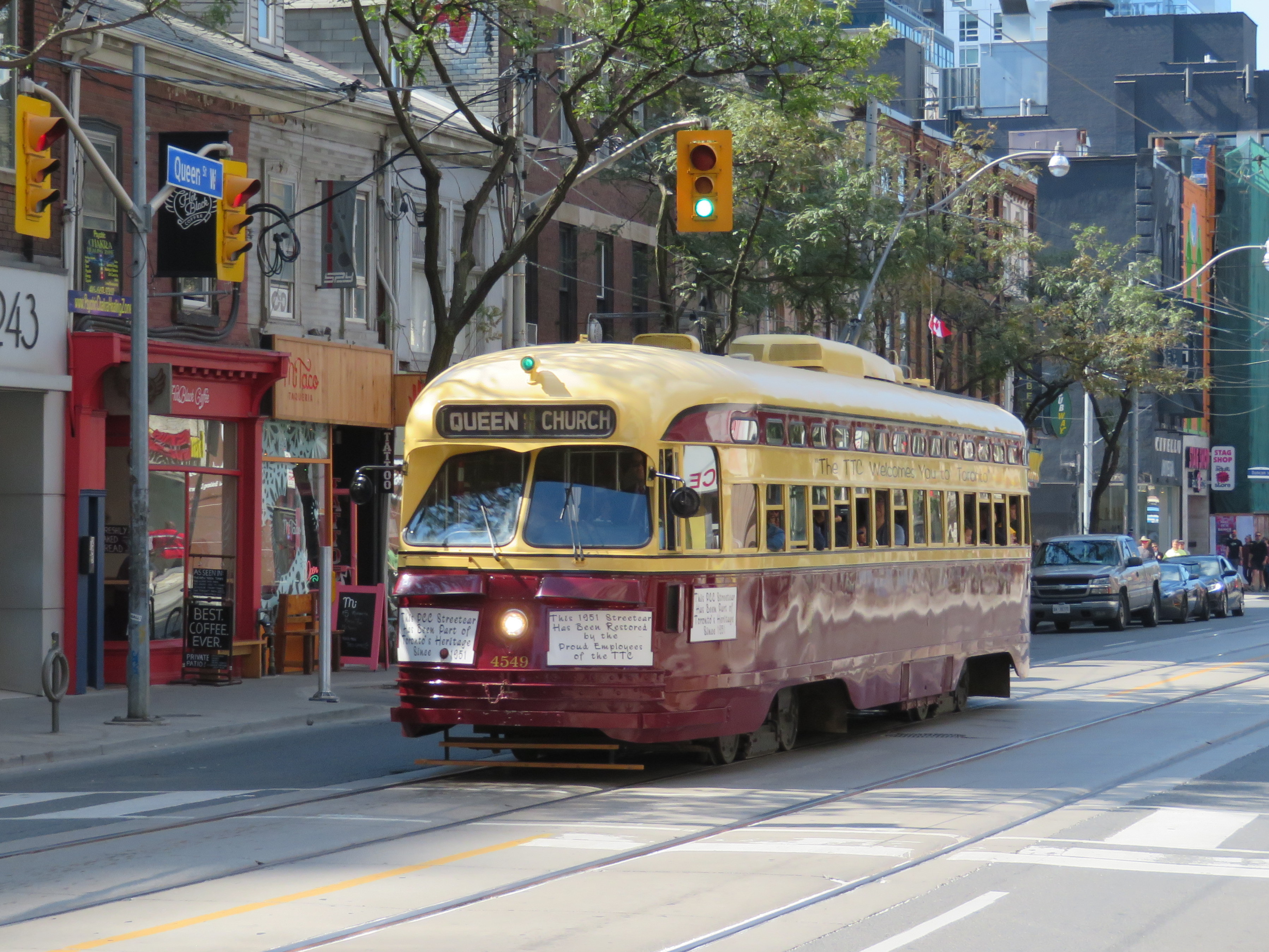 TTC PCC Streetcar #4549 on Queen Street West in September 2018
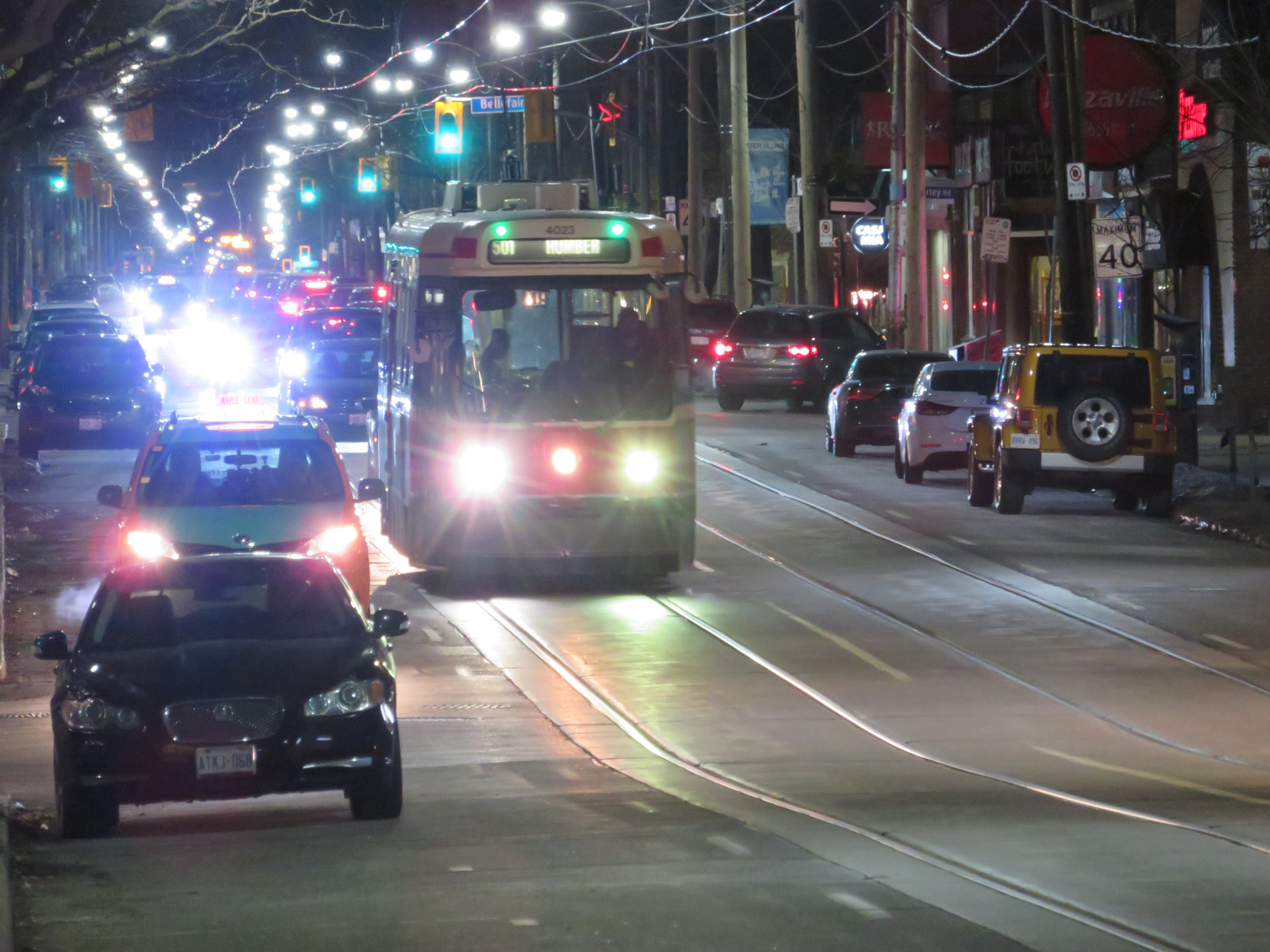 CLRV streetcar on Queen Street East, with two blue-green advance lights above the back-lit destination sign.
 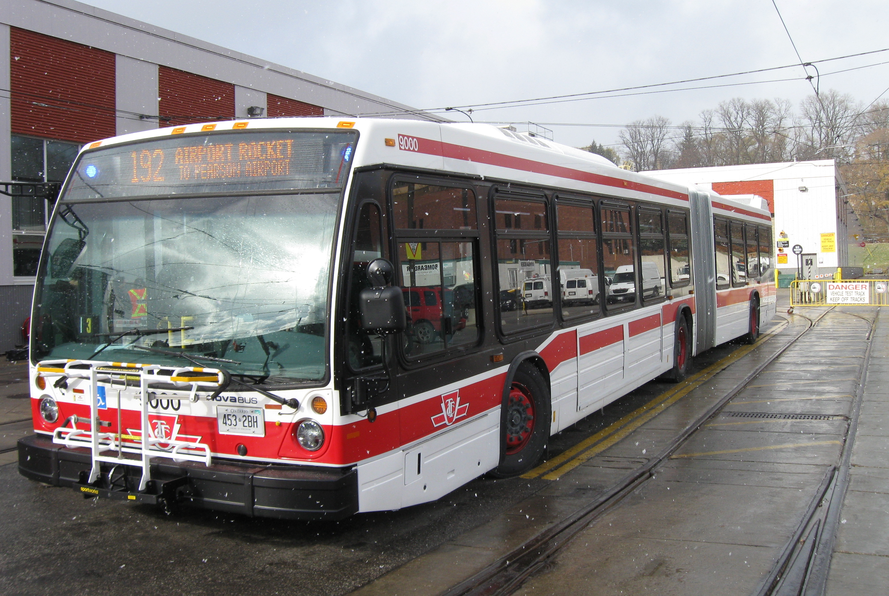 Nova articulated bus with orange LED destination sign and blue LED advance lights indicating it is an accessible vehicle
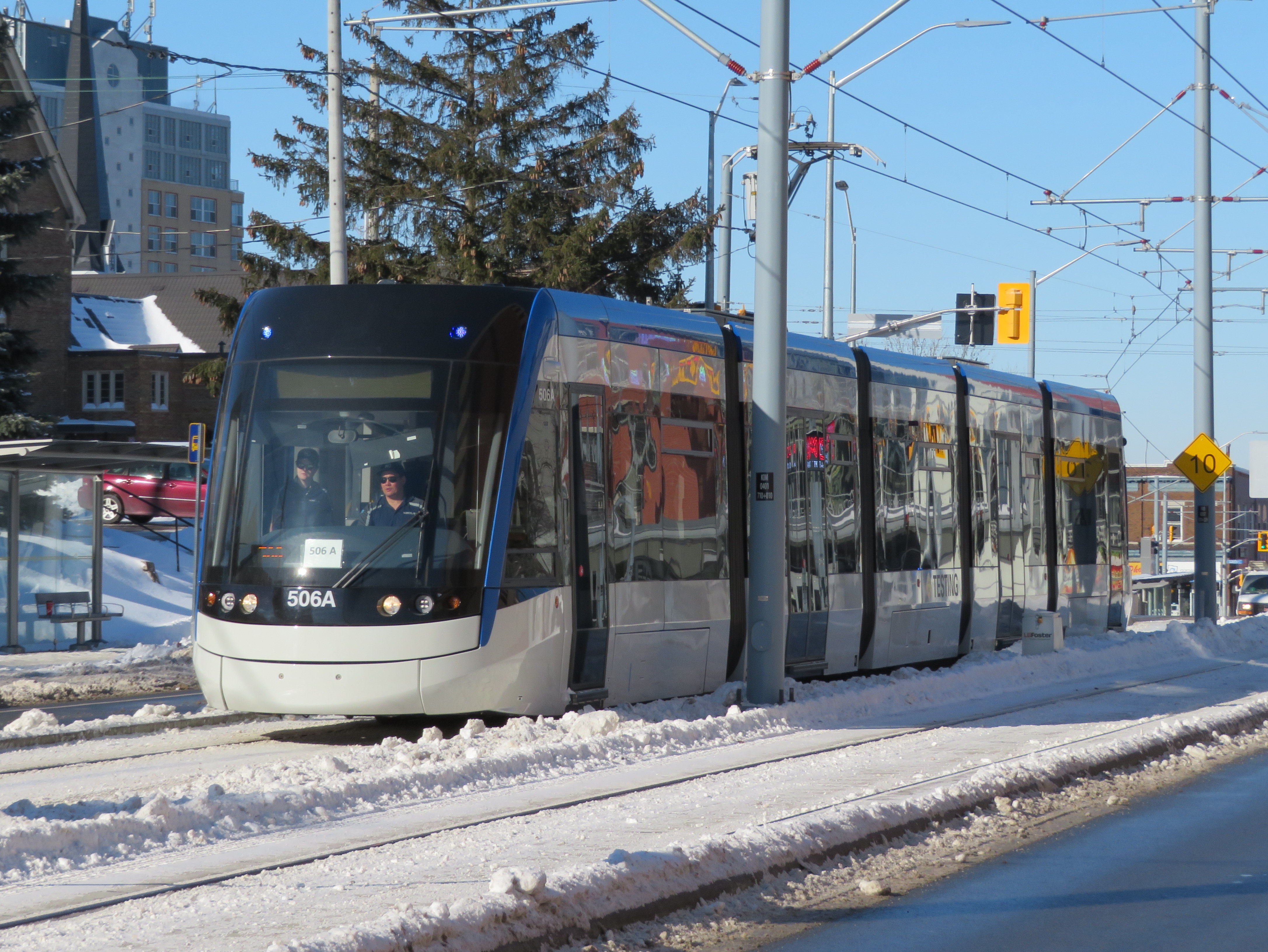 ION LRT vehicle undergoing testing in Kitchener, February 2019
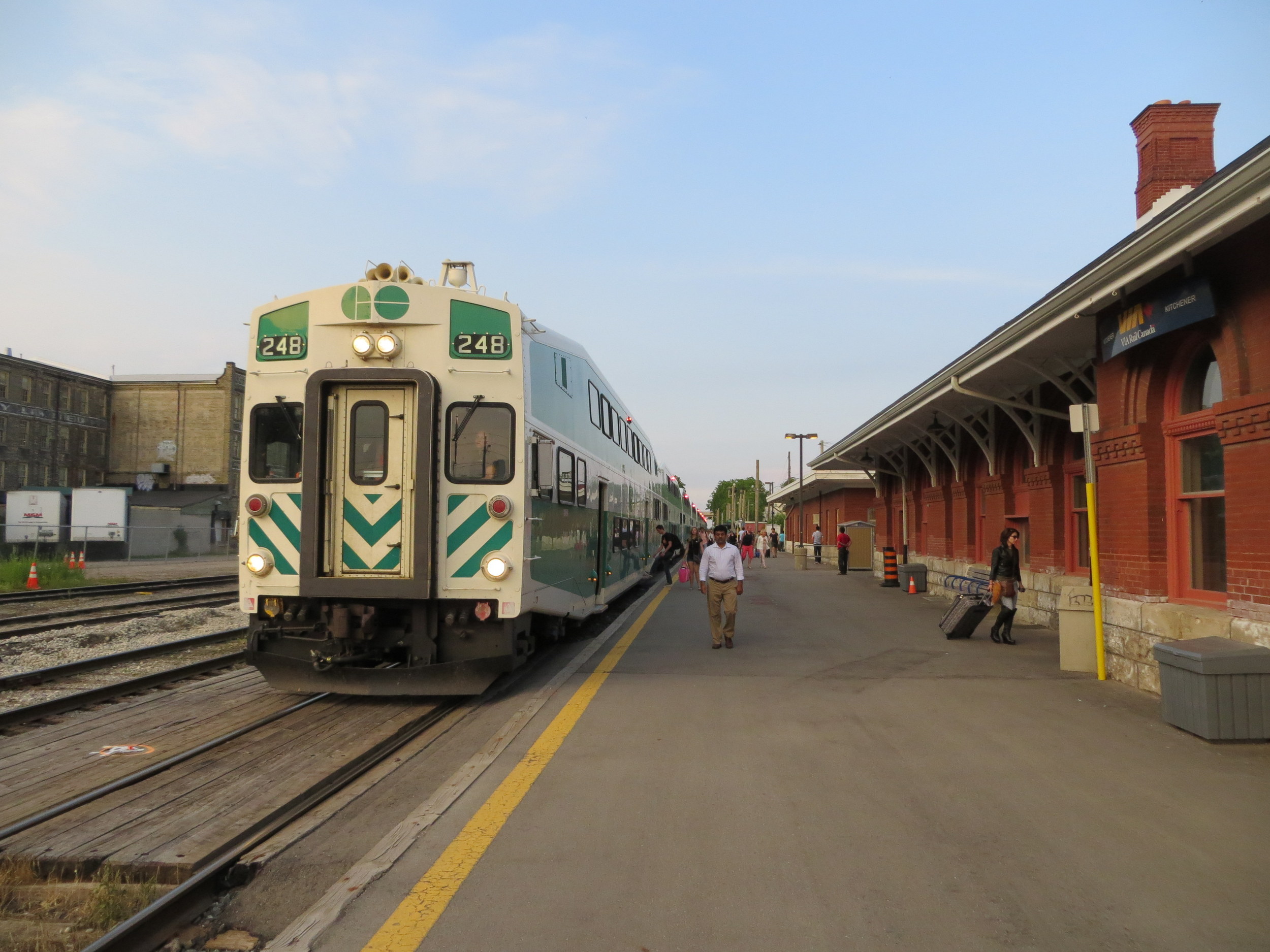 While there’s GO train service between Toronto, Guelph, and Kitchener, it’s inadequate for the regions’s transportation demands
  Tesla operated by Wroute at Guelph Central Station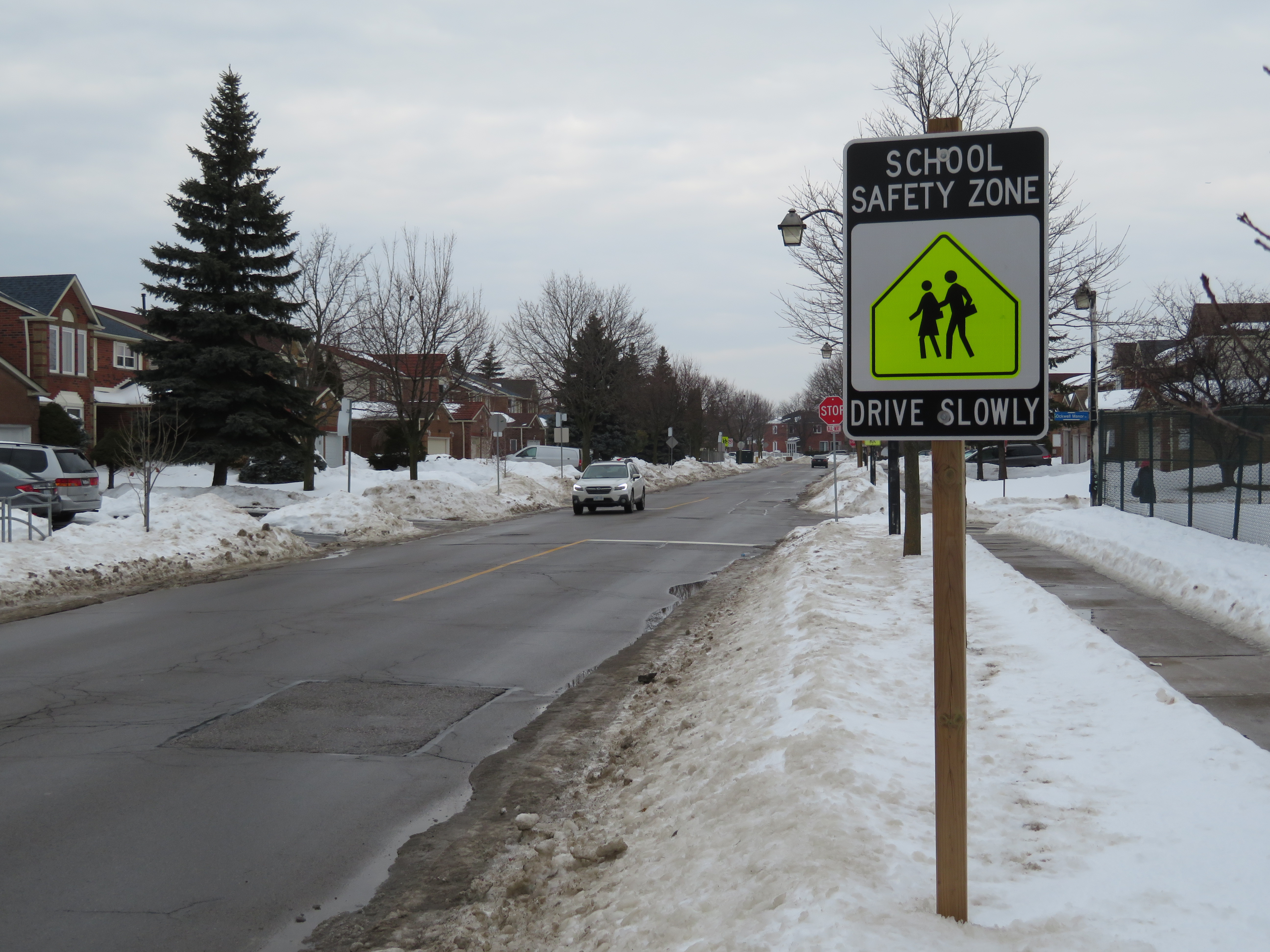
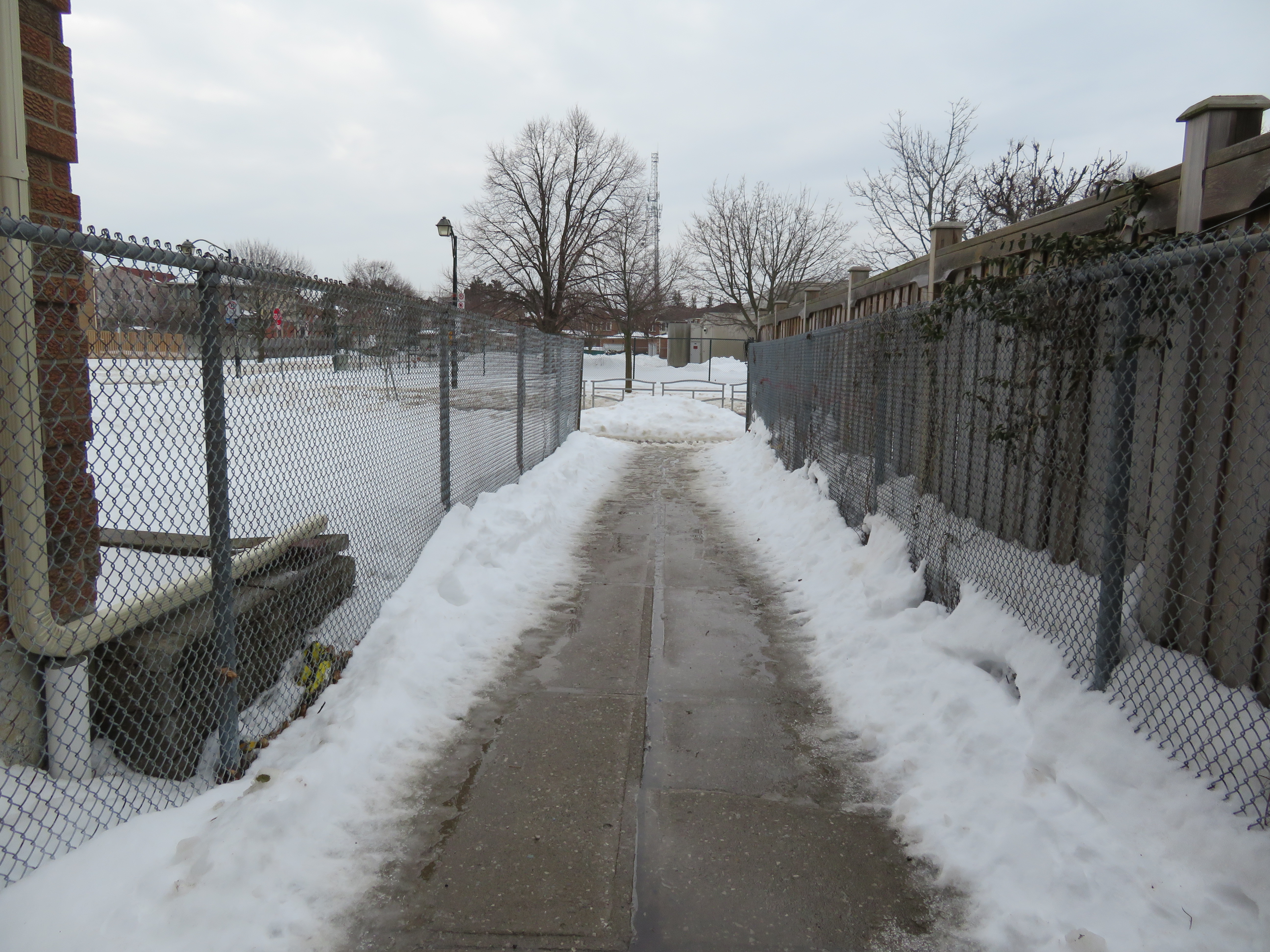 The walkway to the school and a nearby park is reopened, with a metal barrier between the sidewalk and the roadway
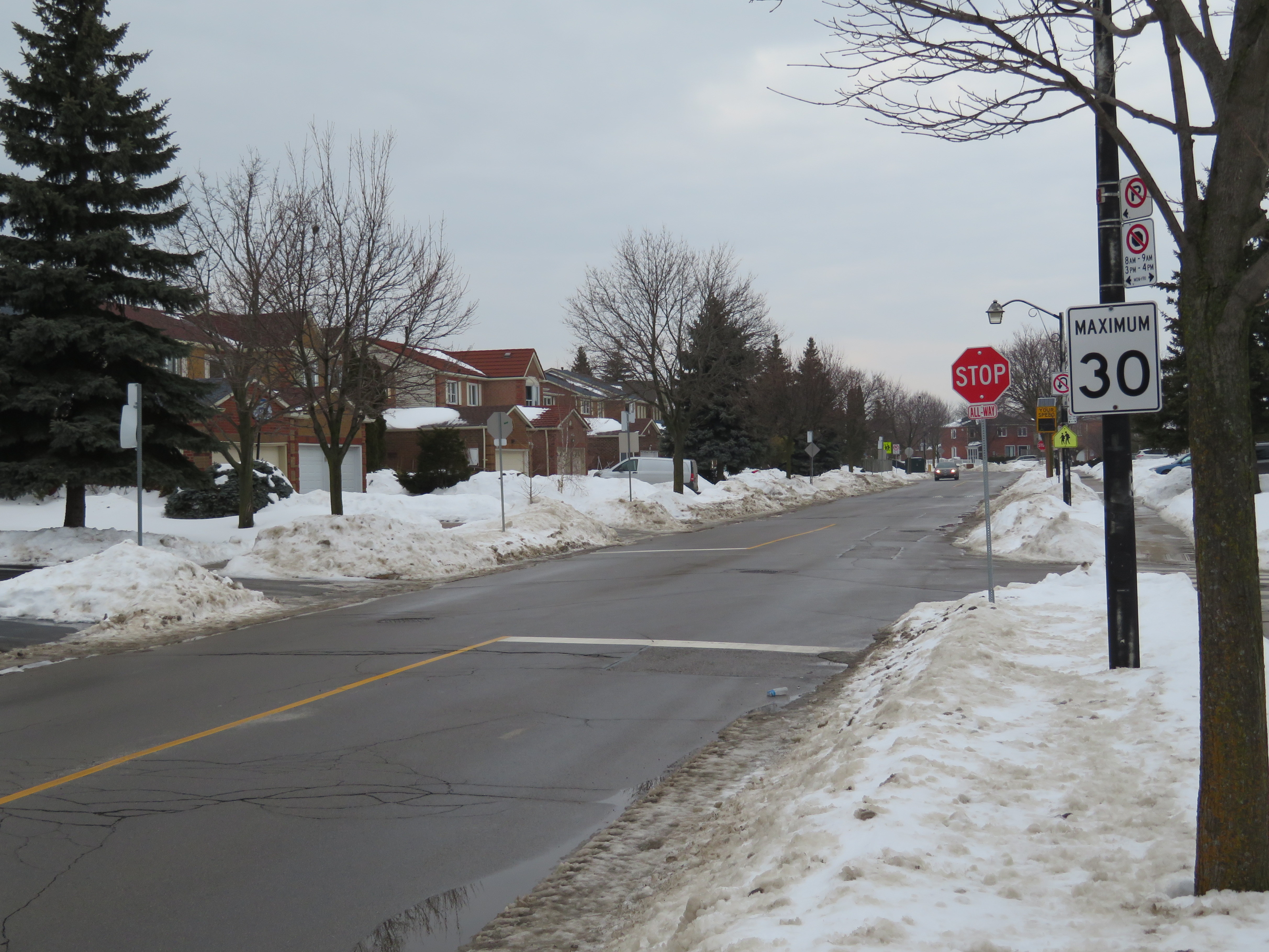 New 30 km/h speed limit and a new stop sign on Canongate Trail, February 2019
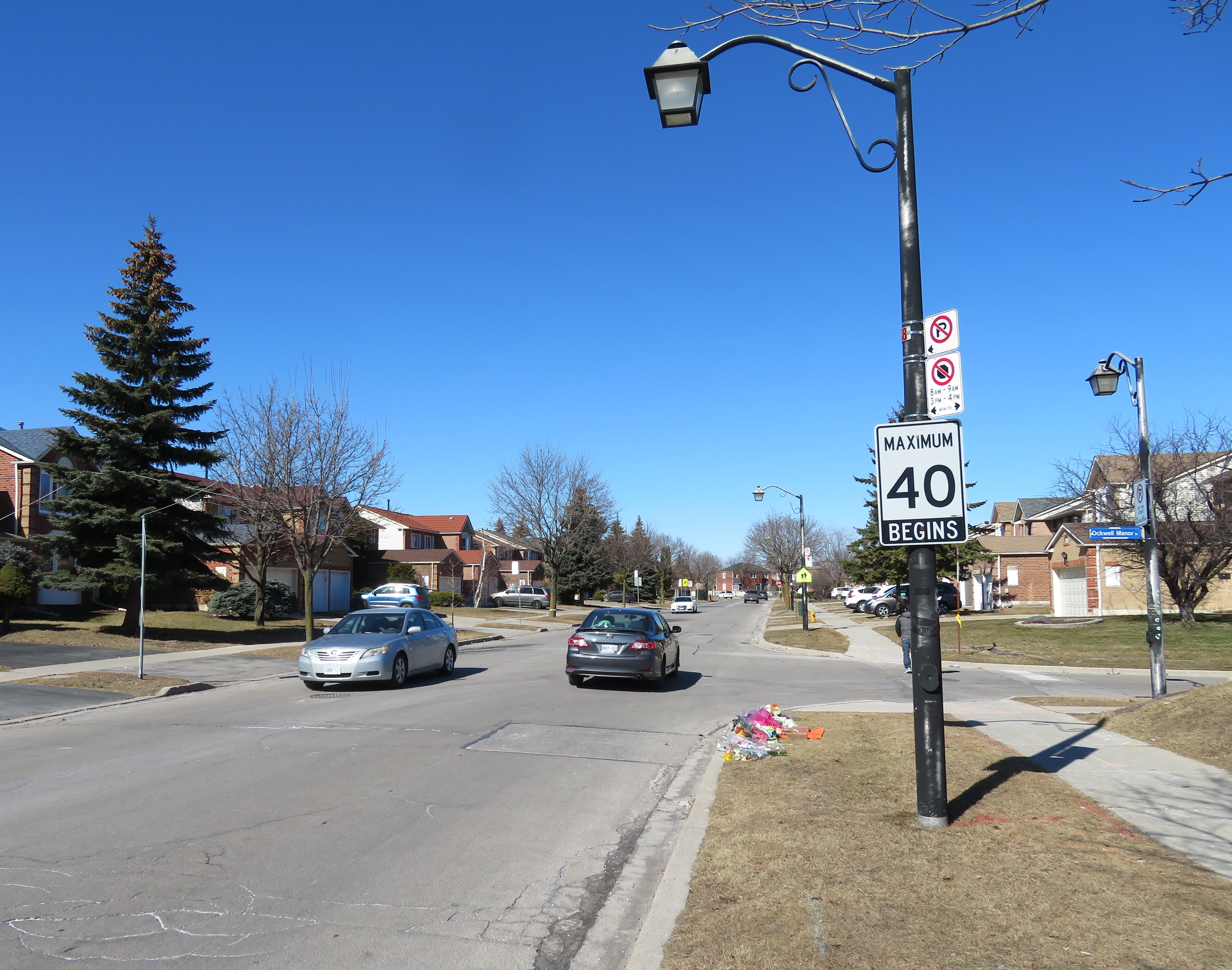 What Canongate Trail looked like in March 2018