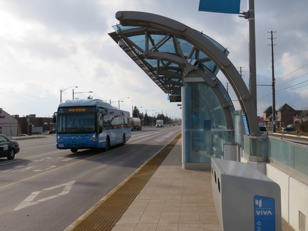
 Don Mills Road looking south towards McNicoll Avenue, North York
On the afternoon of Tuesday July 16, a woman was struck and killed by the driver of a left-turning waste collection truck as she was crossing the street. The tragedy happened at the corner of Cliffwood Road and Barkwood Crescent, in a quiet North York residential neighbourhood. The 68-year old was the eighteenth pedestrian killed on Toronto’s streets in 2019.
Cliffwood Road is a typical suburban residential street in northeast North York, just south of the municipal boundary at Steeles Avenue. It meets Don Mills Road twice; at the north end, there are traffic signals, with a middle school and a plaza on the east side of the four-way intersection. On the south side, Cliffwood meets Don Mills at a three-way intersection, protected only by a a stop sign facing Cliffwood. As Cliffwood loops back on itself and has no direct connections to Steeles Avenue, it is not a useful short-cut for speeding motorists unlike many other suburban streets.
What, in particular, contributed to this deadly crash? I paid a visit to the area to find out.
 The intersection of Cliffwood Road and Barkwood Crescent, looking southeast
Between Don Mills Road and Barkwood Crescent, Cliffwood Road is 12 metres wide without any lane markings or medians to separate traffic or slow vehicles turning off of busy Don Mills Road. West of Barkwood Crescent, Cliffwood Road narrows to 8.5 metres. Twelve metres is a lot of road space: Beverley Street in Downtown Toronto is the same width, but it has two driving lanes, a parking lane, and two unprotected bike lanes. The wide street width here only encourages motorists to drive fast after coming off Don Mills Road, while wide curb radii at the corners at Don Mills and at Barkwood Crescent also encourage motorists to take turns quickly.
At Barkwood Crescent, Cliffwood Road has a speed limit of 50 km/h, the default speed limit in the City of Toronto. Closer to the schools to the north, a 40 km/h speed limit is posted, but there are no physical measures to slow down cars and trucks. Cliffwood Road, like so many other suburban streets, was built for speed, and not for local residents on foot.
 An unnecessarily large intersection at Cliffwood Road and Barkwood Crescent, and a wide approach to Don Mills Road
I also noted the condition of nearby Don Mills Road, a busy thoroughfare connecting office parks in Richmond Hill and Markham with Fairview Mall to the south. Don Mills is a busy bus corridor, with both TTC and YRT buses providing frequent weekday service.
Despite the frequent bus service, Don Mills Road is hostile to pedestrians and transit users. At the southern intersection of Don Mills and Cliffwood Roads, the nearest crosswalk is nearly 300 metres to the north, or 600 metres to the south. Understandably, most transit users will choose to cross at the nearest TTC stop, rather than walk an extra five or ten minutes twice a day, especially in inclement weather.
In late August, a pedestrian was crossing Sheppard Avenue East in Scarborough to get to a nearby TTC bus stop when she was fatally struck by a motorist who then fled the scene. That stretch of Sheppard Avenue is flat and straight.
 The corner of Cliffwood and Don Mills Roads with bus stops
Most area bus stops are adjacent to bus bays. Bus bays are designed to get buses out of the way of traffic while they are dropping off and picking up passengers. Once the bus is ready to leave the bus stop, it must then merge back into traffic. In addition, many of these bus bays double as right-turn lanes, increasing the distance a pedestrian must cross the street.
Furthermore, Don Mills has several hills and curves north of Finch Avenue that makes this especially dangerous because of low visibility, making it difficult to judge how far or how fast traffic may be coming. There are five lanes plus bus bays/right turn lanes; the centre lane alternates between serving as a left turn lane or a striped buffer space between northbound and southbound traffic, which further encourages high speeds.
 Bus stop at Don Mills Road and Mogul Drive, illustrating the high-speed curves
It is no wonder too that cyclists choose the sidewalks. Despite the wide right-of-way with generous boulevards between the backyard fences and the curbs, no though has been made to improve cycling infrastructure in this part of Toronto. Separated bike lanes or a multi-use path, similar to those on Eglinton Avenue in Etobicoke, or in Peel Region, would make sense here, and along other suburban arterials.
Cross-ride marking and signals at intersections would improve the safety for suburban cyclists and legitimize a common practice.
 Cyclists take the sidewalk on Don Mills Road
At the end of my tour of upper Don Mills Road, I could not help but notice I was walking in a signed “Seniors Safety Zone.” As with Eglinton Avenue East in Scarborough, signs were put up but no measures were put in place to slow motorists down, and there was no sign of police enforcement of the posted limit either.
 “Seniors Safety Zone” – note the bus bay behind the sign
There are a few things that can be done in Toronto’s suburbs to improve the safety of vulnerable road users (pedestrians and cyclists) and reduce the incidence and severity of crashes when they do happen. The installation of safer pedestrian crossings, such as traffic signals would reduce the distance required to get to a TTC stop safely. Bus bays should be eliminated with every road reconstruction project, as they do not benefit transit riders and encourage fast-moving traffic. Finally, residential streets should be narrowed, especially at intersections to slow motorists down, reduce the time a pedestrian is in the street while crossing, and improve their visibility.
Finally, wide multi-use paths along suburban corridors like Don Mills Road would help promote active transportation and reduce conflicts between pedestrians and cyclists.
 A broken system
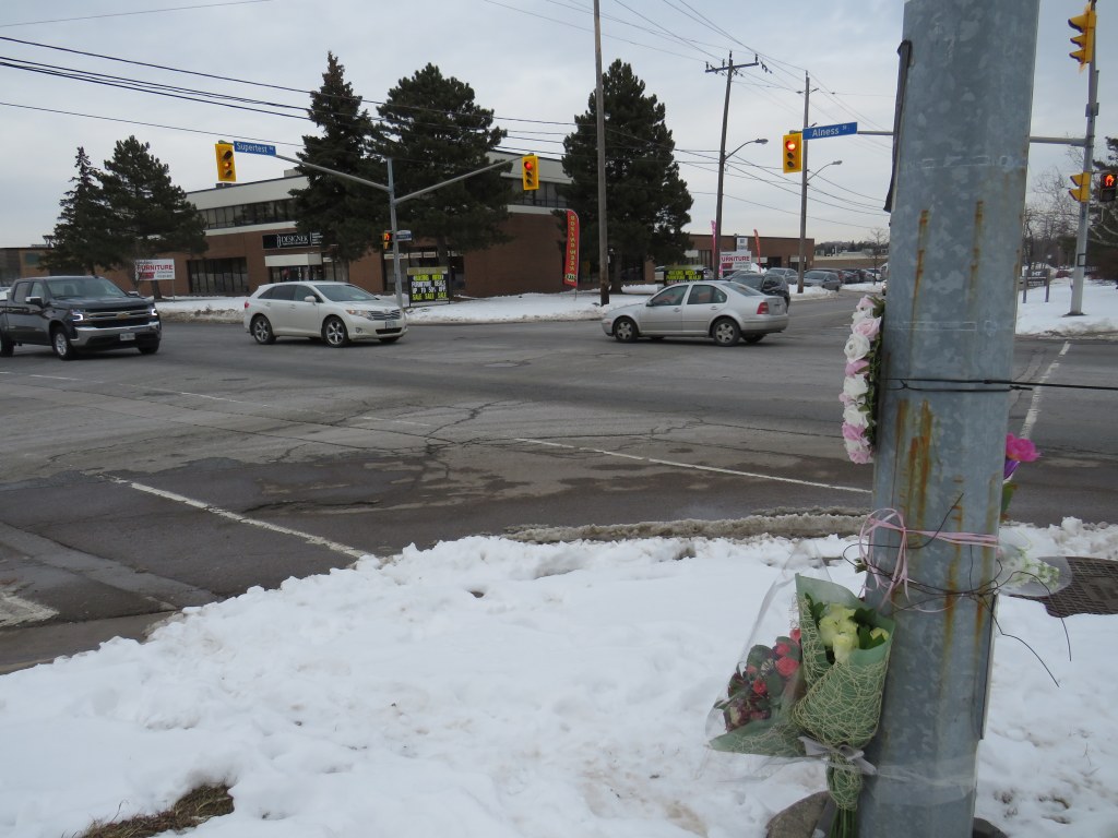

 The intersection of Alness and Supertest, with a makeshift memorial on the southwest corner
 The only sidewalk on Supertest Road comes to an end halfway between Dufferin and Alness
 Looking west on Supertest Road, with the sharrow, TTC stop, and bike route sign on the right
 Memorial to 77-year old Pasquina Lapadula in front of her apartment building on Islington Avenue north of Finch
 Islington Avenue looking south from Aviemore Drive towards Finch Avenue
 TTC bus stopped in bay in front of Pasquina Lapadula’s apartment building
 Islington and Finch Avenues
 Smashed pedestrian refuge island on McCowan Road
 Distance Sign on Highway 5, Clappison’s Corners
 The other Covent Garden Market, London
 Paris, Ontario’s main street backs onto the Grand River
 Nipigon River Bridge, August 2019
 Bloor Street is a mess of construction and signage as construction continues through September