The City of Toronto has released a new proposed Ten Year Cycling Network Plan, which establishes a minimum grid of cycling infrastructure across the entire city. It will be presented to the Public Works and Infrastructure Committee next week; city staff, who have worked long and hard on this project, consulting many stakeholders and members of the public, recommend its adoption by City Council. It will create over 500 kilometres of safer cycling routes, while connecting existing bike lanes and trails to each other. The plan would cost just over $150 million over ten years, a bargain.
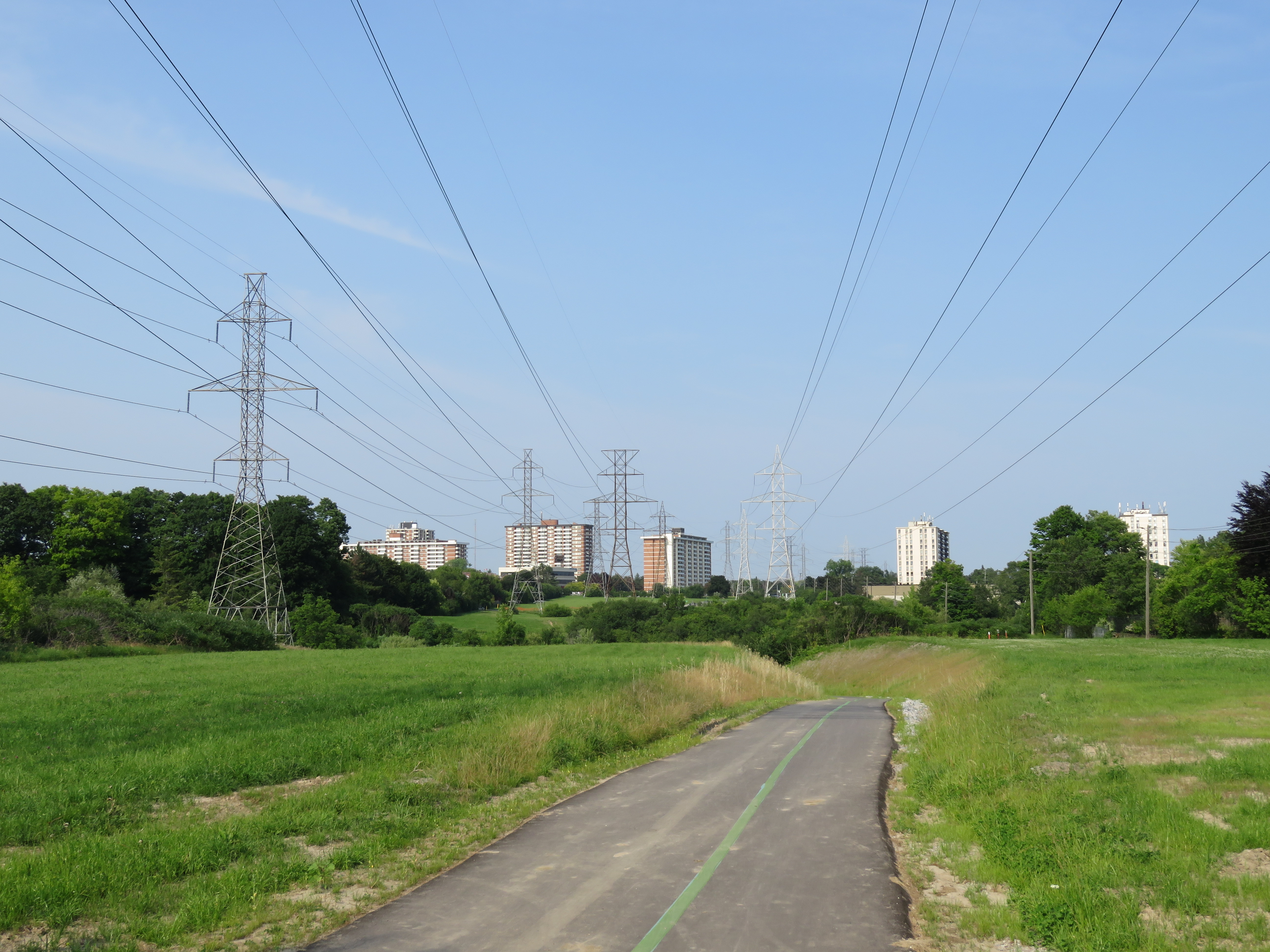
Of course, we’ve been down this road before. Only a fraction of the cycling infrastructure approved in previous plans has been built. And many new trails that were built — following hydro corridors and abandoned railways in suburban parts of the city — don’t connect to nearby ravines and parks. And railways and highways remain major barriers; there are only three places where the city’s designated cycling network crosses Highway 401.
Last week’s Council approval of the Bloor Street bike lanes between Shaw Street and Avenue Road — a simple pilot project — didn’t look like a sure thing, even though it ended up voting 38-3 in favour.
Deputy Mayor Denzil Minnan-Wong warned of “bike lane creep,” afraid that a safe bike route would extend to Danforth Avenue (which it should). And Councillor Stephen Holyday (Ward 3, Etobicoke Centre) ridiculously claimed cycling advocates were “trying to build a wall” around the downtown core, ignoring the fact that there’s a subway along the same corridor, which moves many times more people than two lanes of Bloor Street, and there are other options — such as the Gardiner Expressway, which we are needlessly committed to keeping up — for getting downtown with a car.
Some of the highlights of the new plan:
- Long distance cycling corridors, such as Bloor/Danforth from Etobicoke to Kingston Road in Scarborough, Kingston Road from the Beaches to West Hill, and Yonge Street from Downtown to Steeles Avenue.
- New connections across railways, ravines and highways.
- Extensions to popular off-road trails, such as the West Toronto Railpath.
Highways are very dangerous for pedestrians and cyclists to cross: high-speed ramps are marked with signs telling pedestrians to wait for gaps. Cyclists must navigate cars quickly changing lanes and exiting freeways. And railways can create long, impenetrable barriers unless pedestrians trespass on railway property. I wrote about it at more length in Spacing.
The worst example might be where Bridgeland Road ends on one side of the Metrolinx-owned Newmarket Subdivision (GO Transit’s Barrie Line) and Floral Parkway ends on the other side. Highway 401 conspires to make this an exceptionally bad case. Happily, this is one of the places where the city seeks to build a new bridge or tunnel to allow cyclists and pedestrians to cross safely, and I am glad to see other gaps addressed in this latest plan.
An example of how railways and highways create barriers to active transporation
There are four large maps (large PDF files) that show the existing cycling network and the proposed new routes. They correspond to the four community council boundaries.
Toronto and East York
North York
Etobicoke-York
Scarborough
It’s not only important that City Council approve this new plan, it’s also crucial that proponents of active transportation keep on top of the city to actually build the new cycling infrastructure and multi-use paths and bridges. We’ve seen this play out before: council approves a great plan for cycling, for transit, for urban development, and then rests on its laurels. Let’s do better this time around.

Leave a comment