
“Spirit Catcher” by Ron Baird on Downtown Barrie’s Waterfront
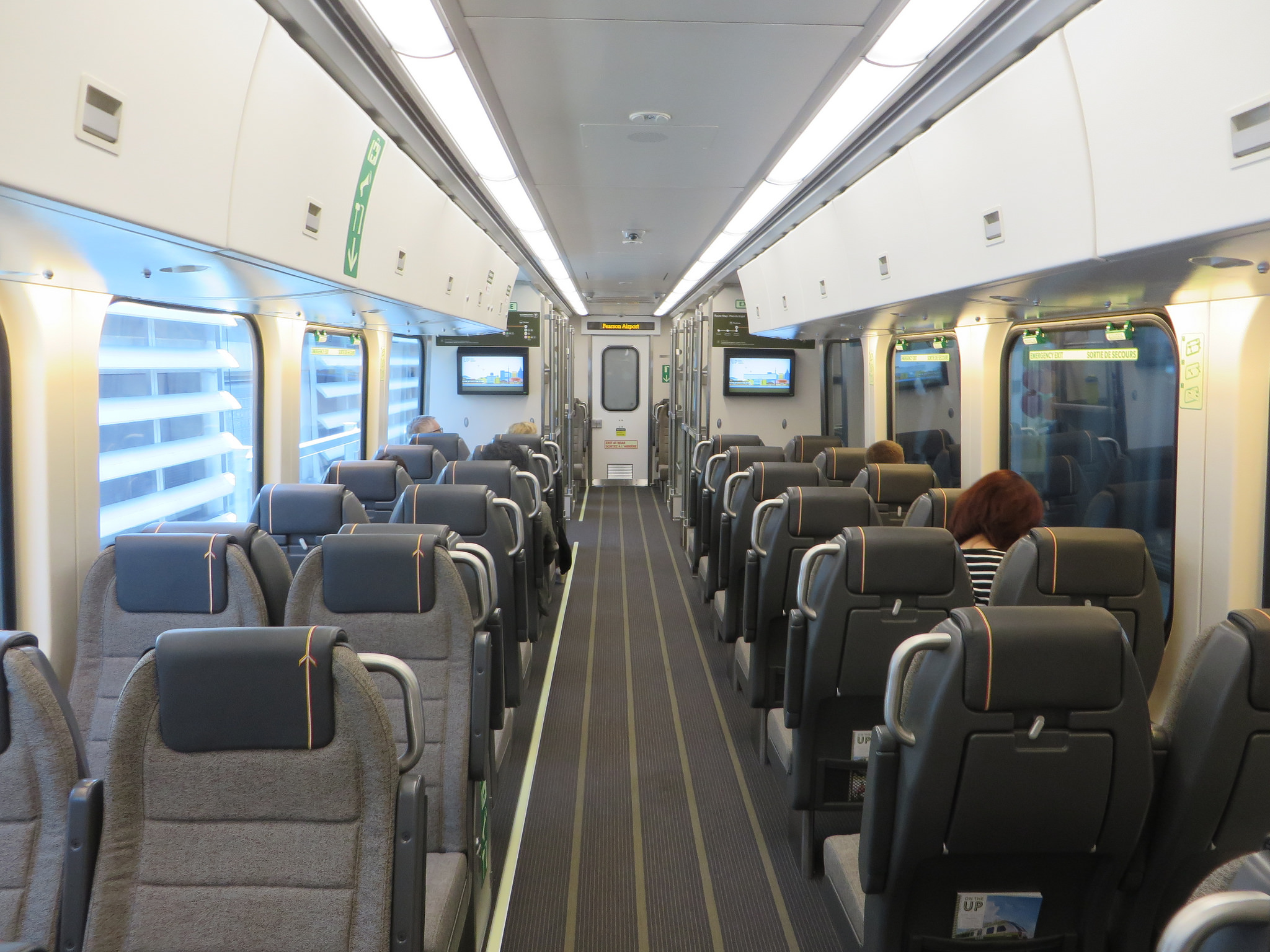
Last weekend, I made a trip up to Barrie on GO Transit. Most people in the Greater Toronto Area know of Barrie as a place you pass on Highway 400 on the way north to Collingwood, Wasaga Beach, or Muskoka, but it has a population of 140,000 people, many of them commuters to the Greater Toronto Area.
Barrie features a lovely waterfront, situated at the end of Lake Simcoe’s Kempenfelt Bay. After the abandonment of the Canadian National Railway tracks north of Allandale Station in 1997, a new waterfront trail was created and Lakeshore Drive moved inland to provide more park space. The waterfront trail connects on the north with a rail trail that extends to Orillia. The waterfront has three swimming areas, a marine, food concessions, playgrounds, and gardens. On a warm Sunday in March, the boardwalk and waterfront paths were very well used. Work is being completed on further enhancements to the public realm.
 A busy March Sunday on Barrie’s waterfront
In 2012, GO Transit extended the Barrie line to Allandale Waterfront Station, at the closest point possible to Downtown Barrie where tracks remained. The old Allandale Station, built by the Grand Trunk Railway in 1905 and abandoned by CN in the 1980s, still stands just north of the GO station, newly restored. Yet the station is fenced off and is awaiting re-use.
 Allandale Station is fully restored on the outside, but remains fenced off. The GO Station is to the far left.
Downtown Barrie hosts many heritage buildings. Despite a catastrophic fire in 2007, the downtown core boasts a mostly-intact inventory of heritage commercial and institutional buildings. The old Carnegie Library was incorporated into the MacLaren Art Centre (a new central library was built in the 1980s). The Queen’s Hotel on Dunlop Street, established in the 1850s, retains its historical veranda. Brampton and other county towns had similar hotels, but many were lost to fire or development.
The downtown business improvement area has been active as well. During the summer months, patios are brought out into the streets, and festivals are put on year-round. New condominium towers built along the waterfront and downtown bring new residents that can support the historic city centre.
Despite my positive impressions, one thing really bothered me: Downtown has many signs posted reminding people of a 2004 by-law prohibiting “aggressive behaviour, panhandling, loitering, and skateboarding/bicycling” with a maximum fine of $5000. Surveillance cameras are positioned at several downtown corners.
 Sign reminding of Downtown Barrie’s Zero Tolerance Bylaw. The historic Queen’s Hotel is in the background.
The intent of the rule against cycling probably refers to bicycles ridden on sidewalks, rather than on roadways (there are some bicycle lock-up locations downtown and along the waterfront). That said, the signage and the by-law have the effect of telling young people and low-income residents that they are not welcome.
Signs and specific bylaws such as this are not uncommon in Ontario. In Brampton, signs in public parks and along its pathways prohibit loitering as well. Yet sidewalks and parks are public spaces; parks in particular are places where one might wish to relax, have a picnic, or just sit and enjoy nature or to people-watch.
 “No loitering” in Brampton’s parks
Downtown Barrie has struggled with poverty, vacant lots, derelict properties on the periphery, as well as crime, such as assaults, and drug trafficking. Downtown Barrie has many of the support services for economically and socially marginalized people; there are affordable rental apartments and rooming houses in the core as well. Downtown has several cafes and restaurants, a few clothing and furniture stores, as well as a craft brewery, but many of the businesses along the main streets are convenience stores, hair salons, vape shops, tattoo parlours, bars, and nightclubs. Especially missing are businesses such as a drug store, and a supermarket.
To discourage loitering, benches were removed from Dunlop Street, Barrie’s main street. However, seniors in particular benefit from places to sit and rest while going on walks or doing shopping. Payphones downtown were also removed in 2013; the local councillor said that they were “degrading the quality of the neighbourhood.”
In 2014, the City of Hamilton was looking at adopting a similar by-law to discourage low-income and homeless people congregating and creating a nusiance in Downtown Hamilton. Councillor Jason Farr pointed to Downtown Barrie’s success, but noted the importance of consulting with poverty advocates to “include that social side of the argument.”
Instead of merely implementing aggressive regulations and ticketing, there’s a need for inclusive urbanism. Are there adequate recreational and social activities for youth and marginalized populations? Barrie has a skateboard/BMX park nearby, at Queen’s Park, but that might not be enough to satisfy local youth. What urban interventions would Barrie’s low income populations like to see? Sadly, I doubt they were consulted.
Barrie’s waterfront is one of Ontario’s best: accessible by transit, connected to its downtown, hosting many activities and events. As construction concludes, it should help revitalize the neighbourhoods around it. Barrie should not further push away its already marginalized populations; it should find a way to be welcoming to all.
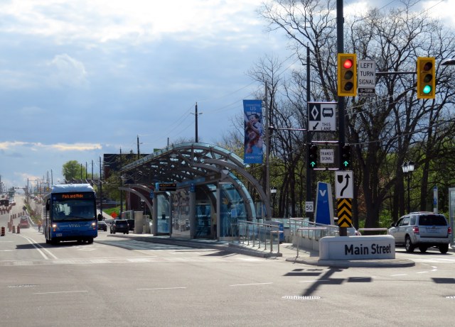
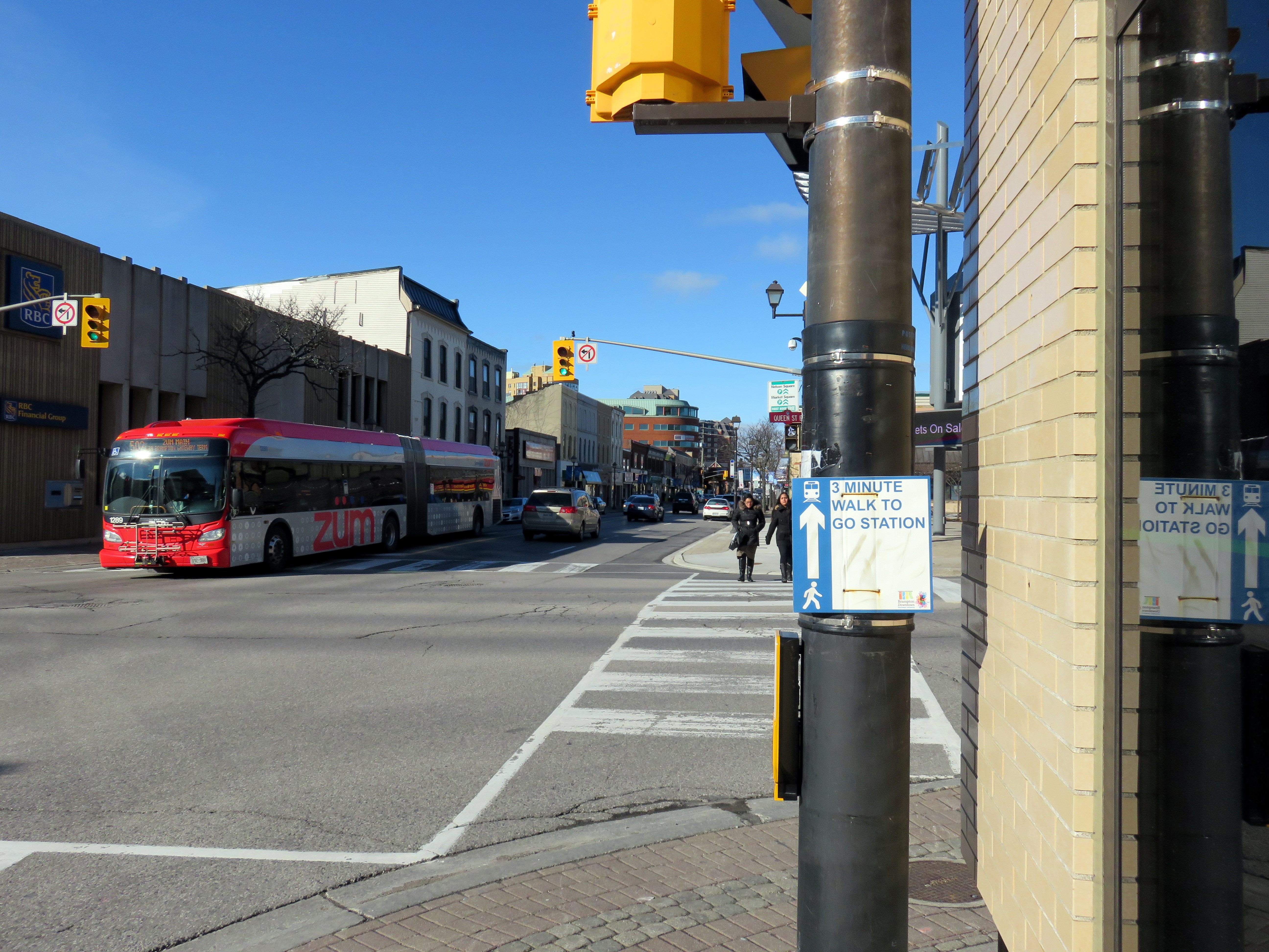 Main Street looking north at Queen Street, Downtown Brampton
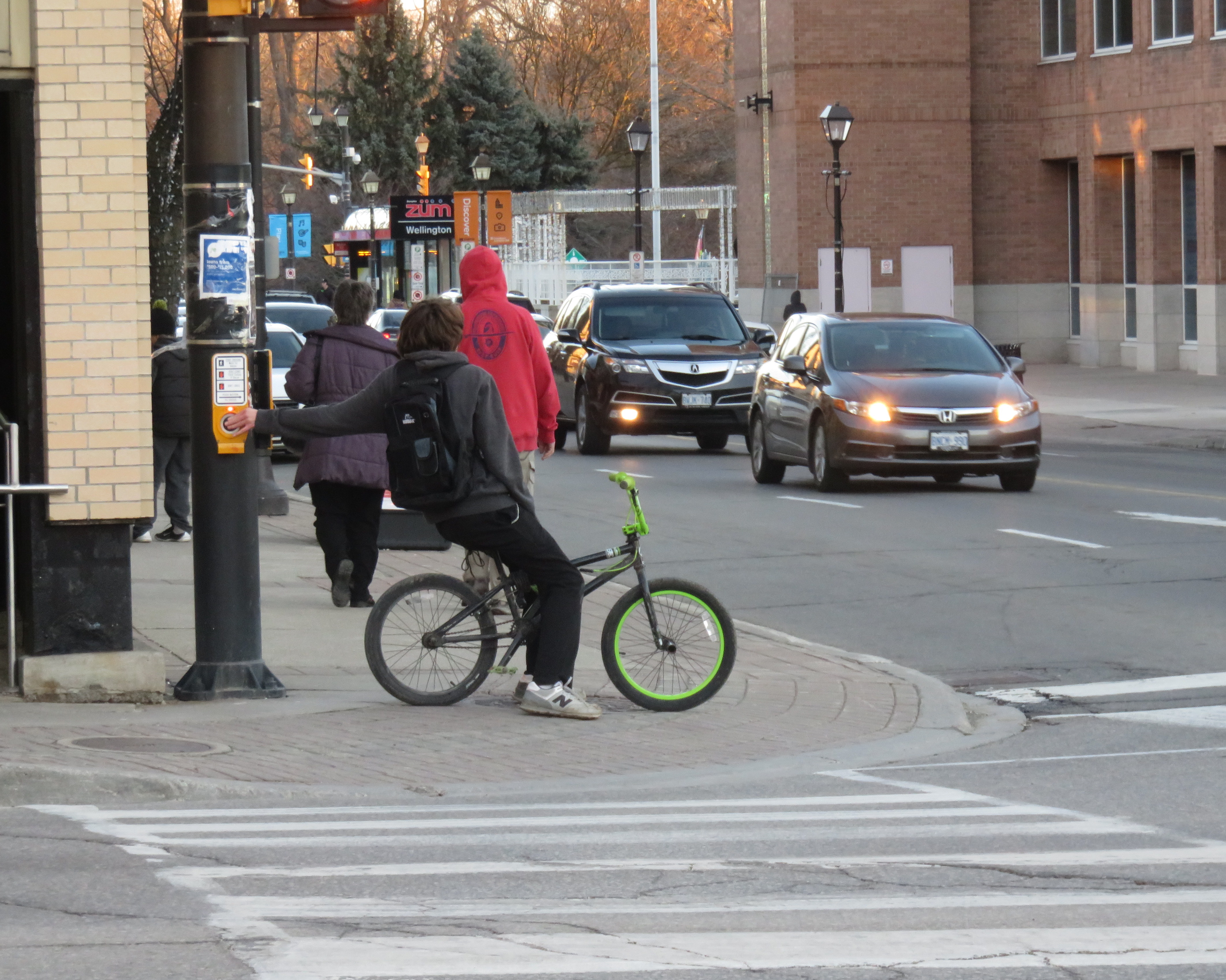 Sidewalks are narrow, and cyclists often take the sidewalks in Downtown Brampton.
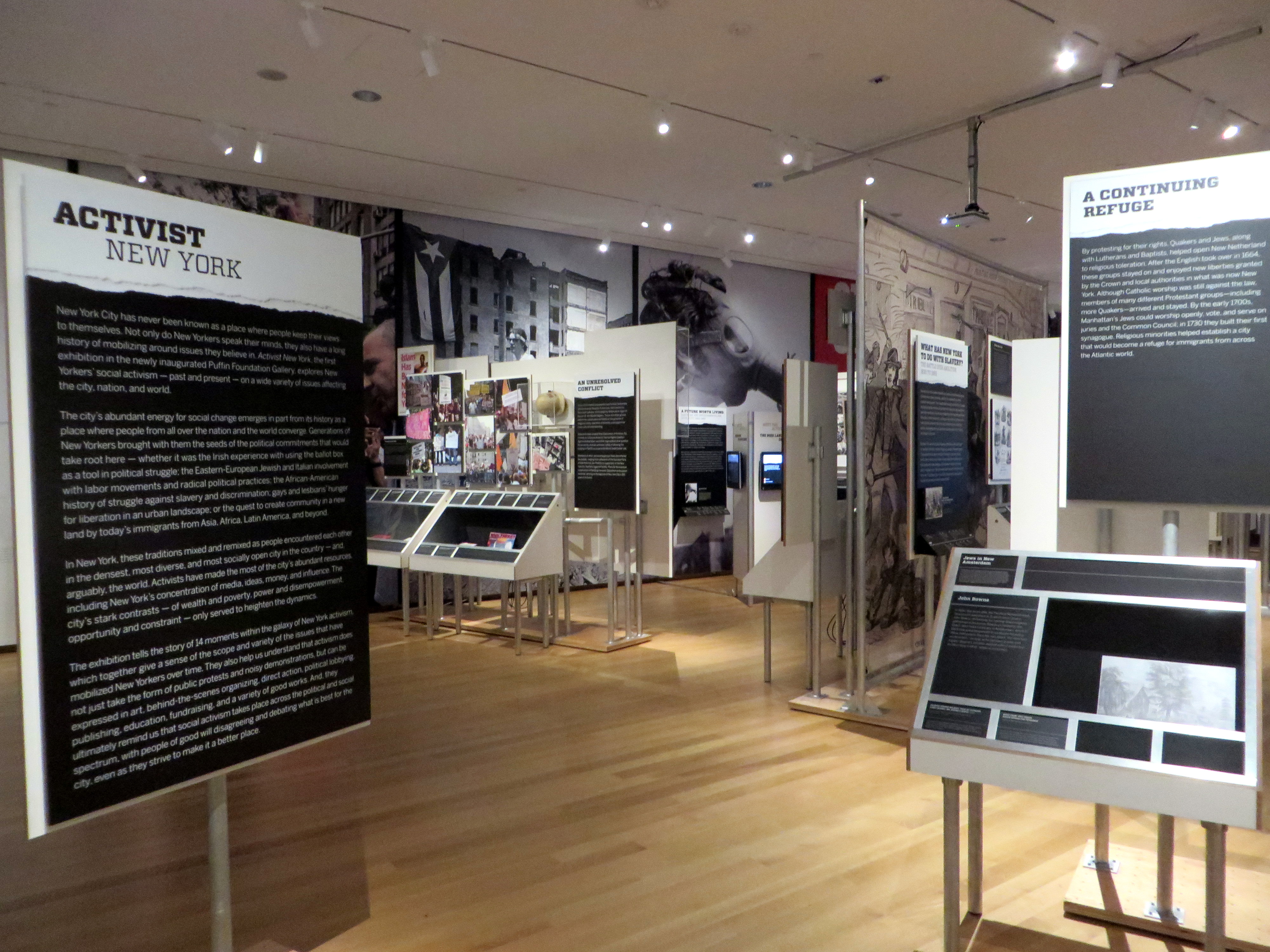 Activist New York exhibition, Museum of the City of New York, January 2015
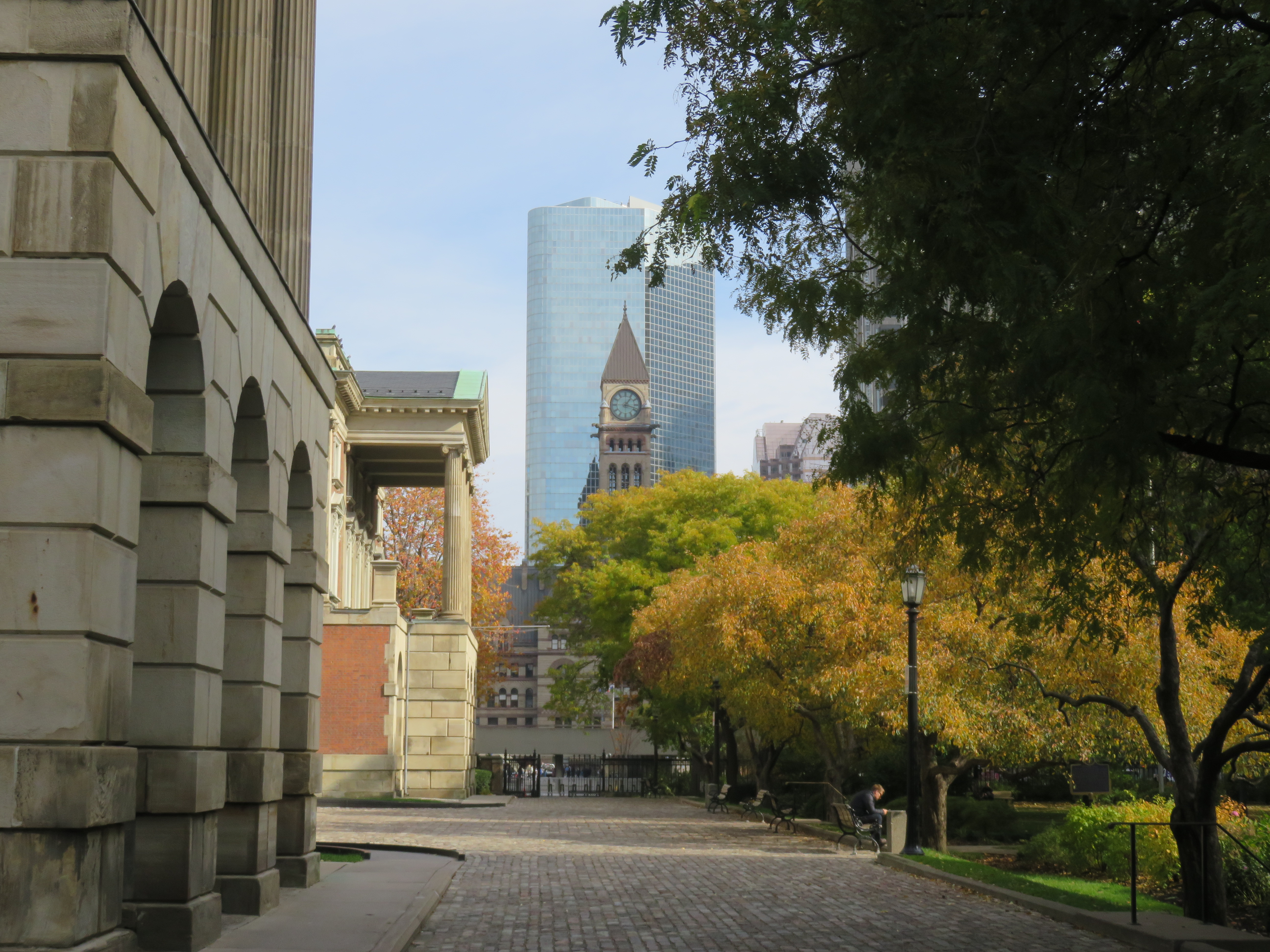 Old City Hall’s clocktower overlooks Nathan Phillips Square and Osgoode Hall
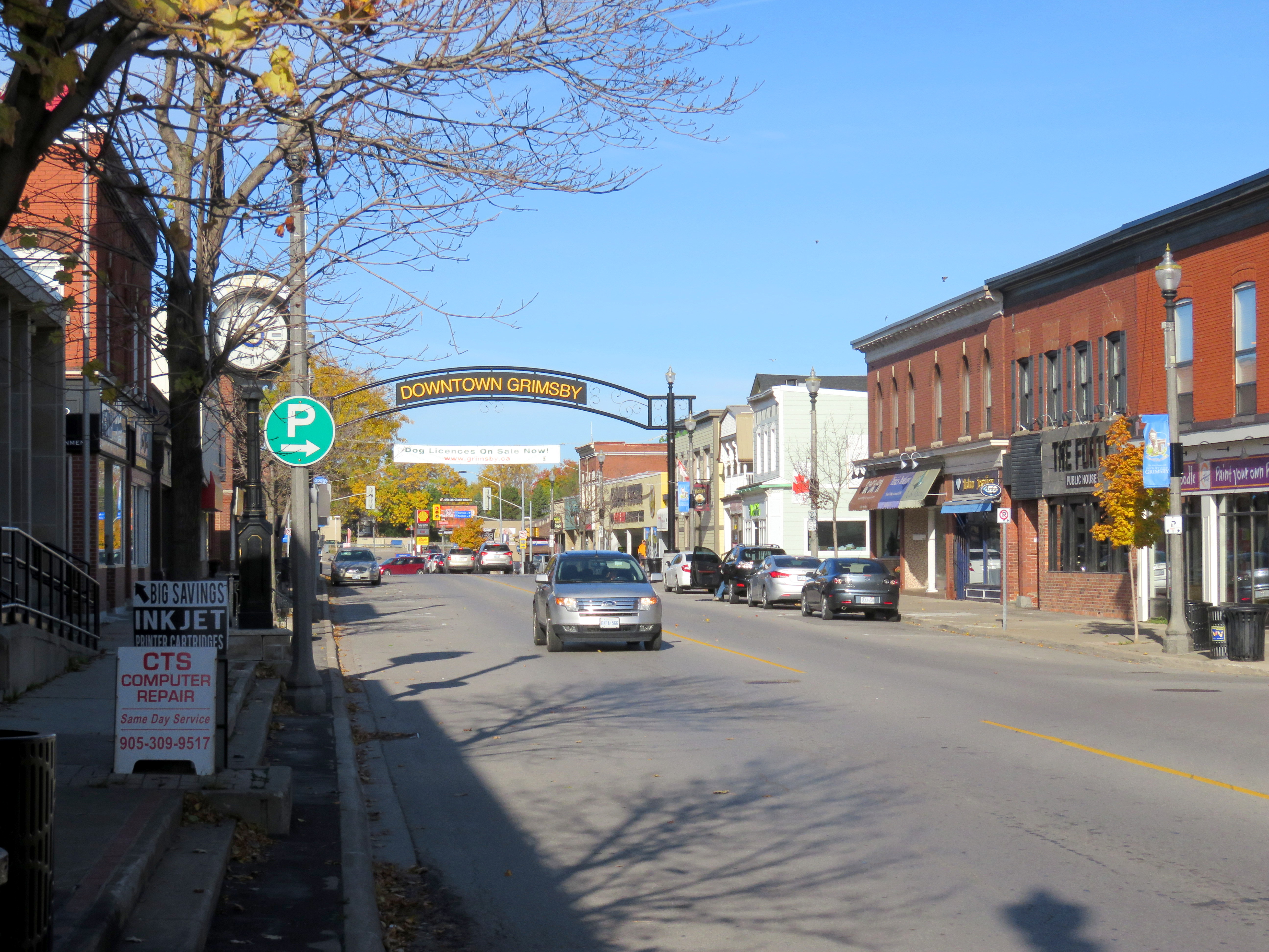 Downtown Grimsby
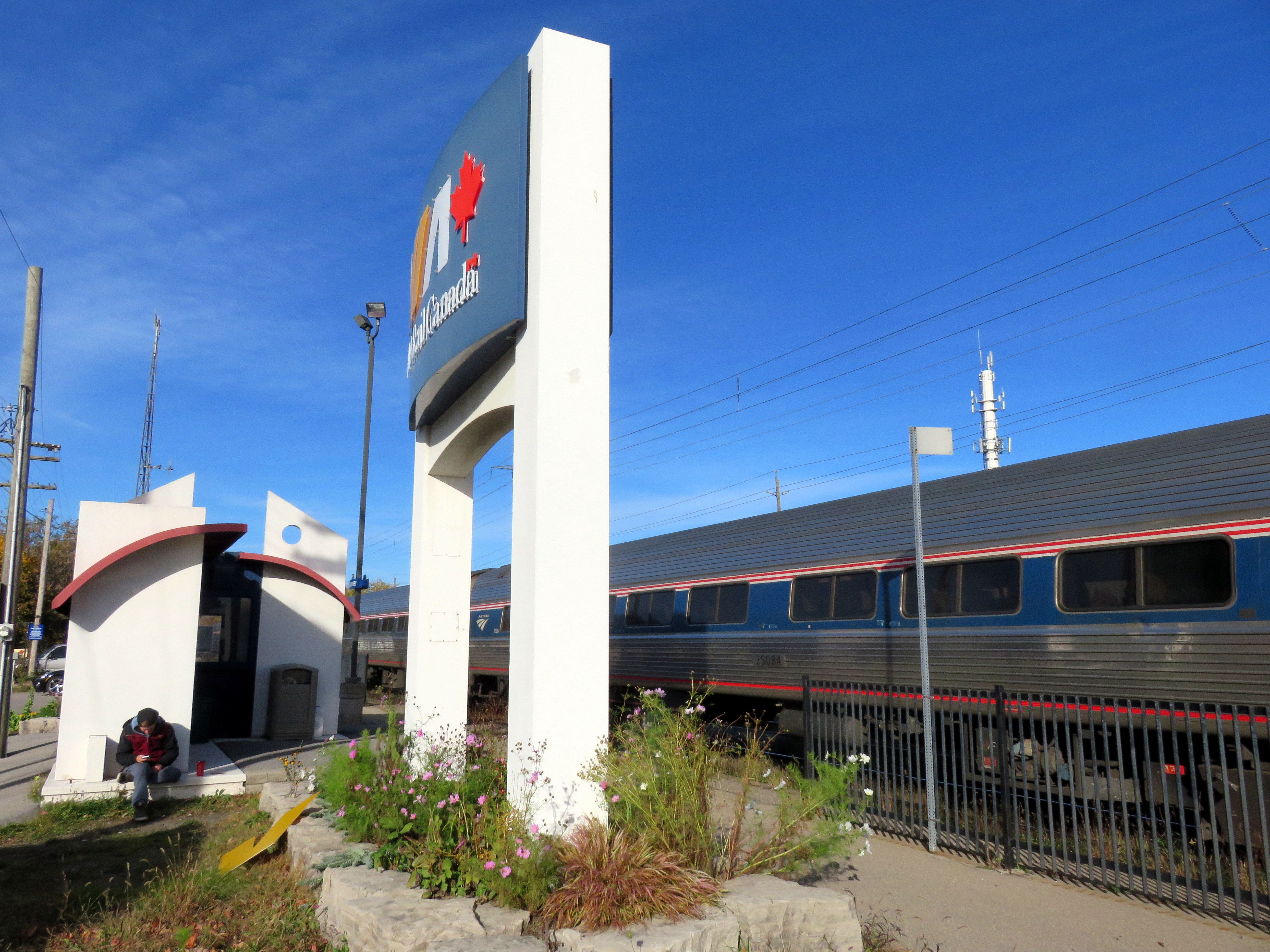 Grimsby Station

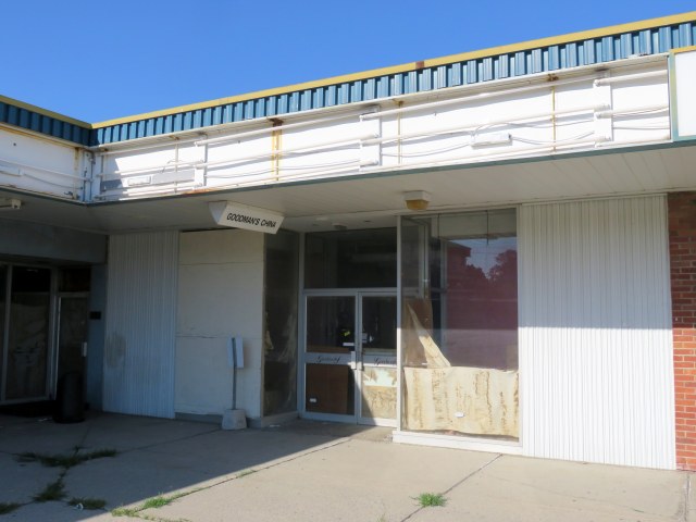 The abandoned Goodman’s China store