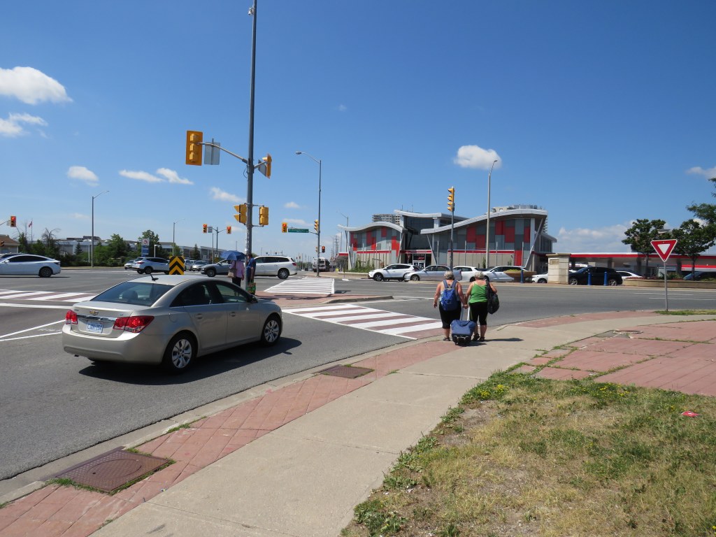

Last year, I wrote about a foreseeable problem coming to the corner of Steeles Avenue and Hurontario and Main Streets in Brampton: the planned Hurontario LRT terminus, to be located on the south side of Steeles Avenue, would require thousands of commuters to transfer to Brampton Transit buses on the north-west corner of the intersection.
This transfer would require crossing ten or eleven lanes of traffic at one of Peel Region’s busiest intersections, with crowding at the street corners, with passengers awaiting a walk signal two separate times to make the necessary connection.

After twice receiving unsatisfactory answers at a Metrolinx online town hall, and hearing no information about how the crossing at this intersection might be mitigated, on March 9, 2021, I took the step of making an Access to Information Request to Metrolinx under the province’s Freedom of Information and Protection of Privacy Act asking for communications between Metrolinx, the Ministry of Transportation, Mobilinx (the consortium awarded the contract to build and operate the LRT), and the City of Brampton.
I received a package with the requested materials from Metrolinx on July 29, 2021. The request cost me $360.00, plus a $5.00 application fee. Communications from Metrolinx’s privacy officer were professional, friendly, and very helpful.
Through my request that covered the dates December 1, 2018 to March 11, 2021, I obtained several letters from Brampton officials, including City Councillor Gurpreet Singh Dhillon, Director of Transportation Special Projects Chris Duyvestyn, Chief Administrative Officer David Barrick, and Mayor Patrick Brown to Metrolinx and Ministry of Transportation Officials requesting restoration of the north side stop at Steeles Avenue/Brampton Gateway Terminal. I also obtained replies from senior Metrolinx staff, including President and CEO Phil Verster and the Deputy Minister and the Minster of Transportation.
What is the communications reveal is that decisions made during the 2014-2018 term of Brampton Council significantly tied the hands of everyone involved — both at the City of Brampton (which reversed its previous decisions when a new council was elected in October 2018) — and at Metrolinx, which was quickly working towards finalizing the contracts to construct the transit project. Unfortunately, important details, such as the final configuration of the Steeles-Hurontario/Main intersection, remain unknown. Neither Metrolinx nor the Ministry of Transportation, which funds Metrolinx, appear to grasp the problems that will be caused when thousands of commuters have to cross two major streets at an especially busy intersection.
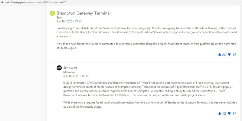
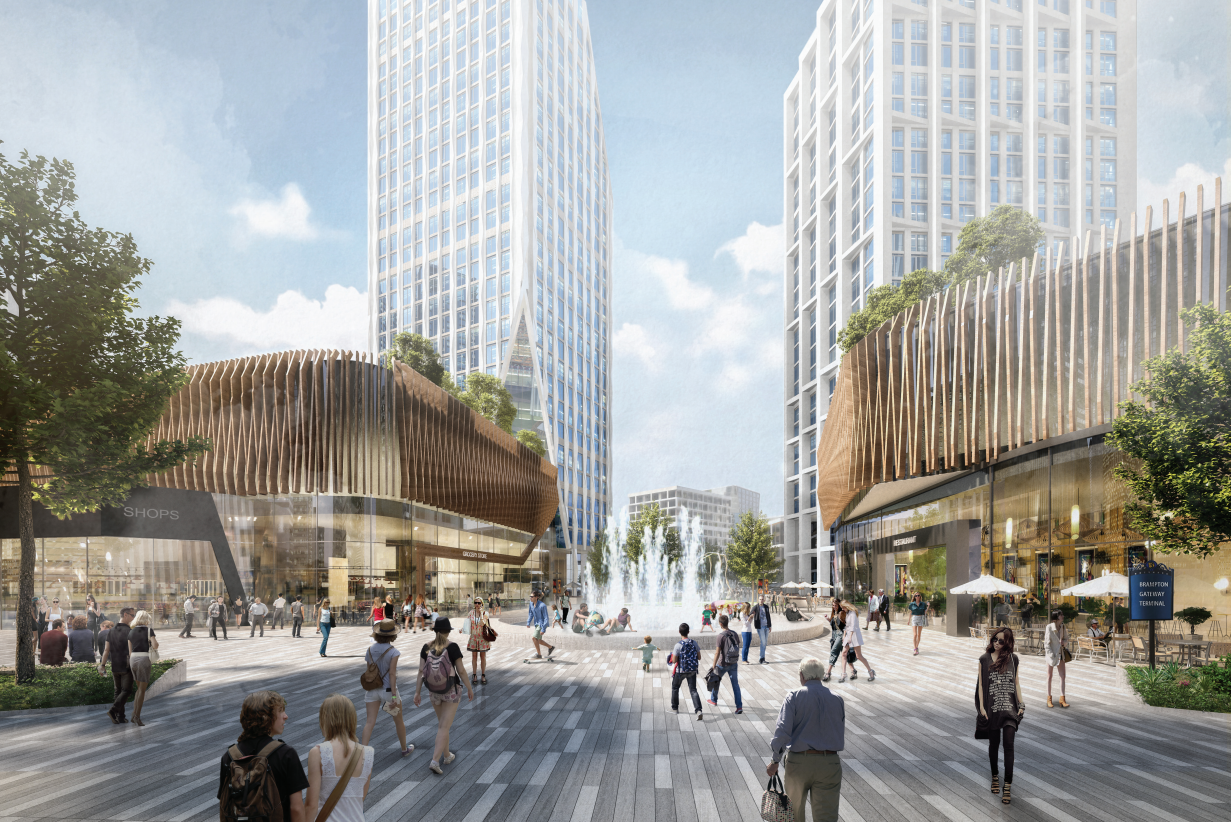
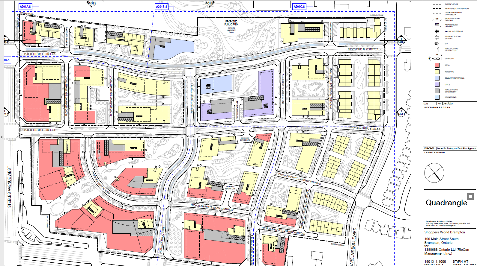
Despite Brampton’s work since December 2018 to move the Brampton Gateway stop back north of Steeles Avenue, including formal requests to Metrolinx and the Ontario Ministry of Transportation (MTO), and despite a similar request from RioCan, owner of the massive Shoppers World Mall property at Main Street and Steeles Avenue, Metrolinx and the province have held firm in their decision.
Though Metrolinx’s mandate is to “improve the coordination and integration of all modes of transportation in the Greater Toronto and Hamilton Area,” terminating the LRT on the south side of Steeles Avenue will only reduce the integration of transit modes at Brampton Gateway.
While Metrolinx and the MTO cite the difficulties of reopening a project which was getting underway, and concerned about setting precedents for other changes to the Hurontario LRT or other transit projects, this would still be a minor change, costing just $15 to $20 million according to a 2020 letter from Metrolinx CEO and President Phil Verster to Brampton Mayor Patrick Brown.
Sadly, transit riders in Brampton – who do not have affluence or political might — have been left in the middle of this political back-and-forth between municipal politicians, the province, and Metrolinx. They will be forced to endure a more difficult transfer between LRT and bus than anything proposed to them in public consultations.
(more…)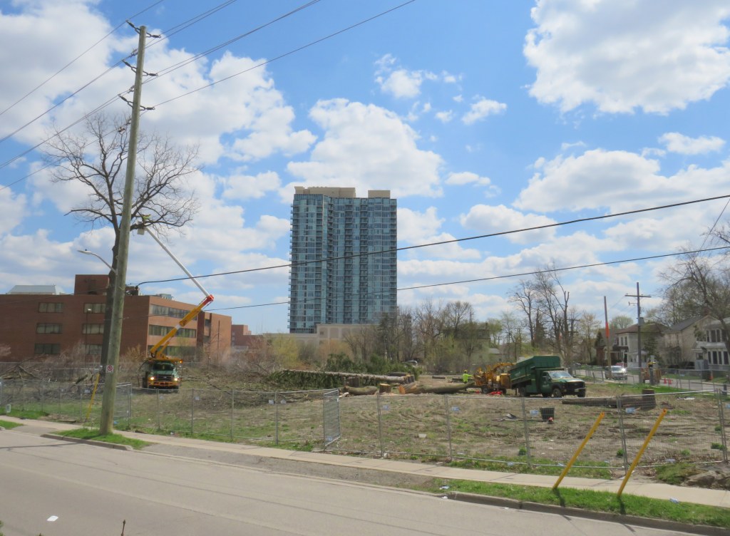


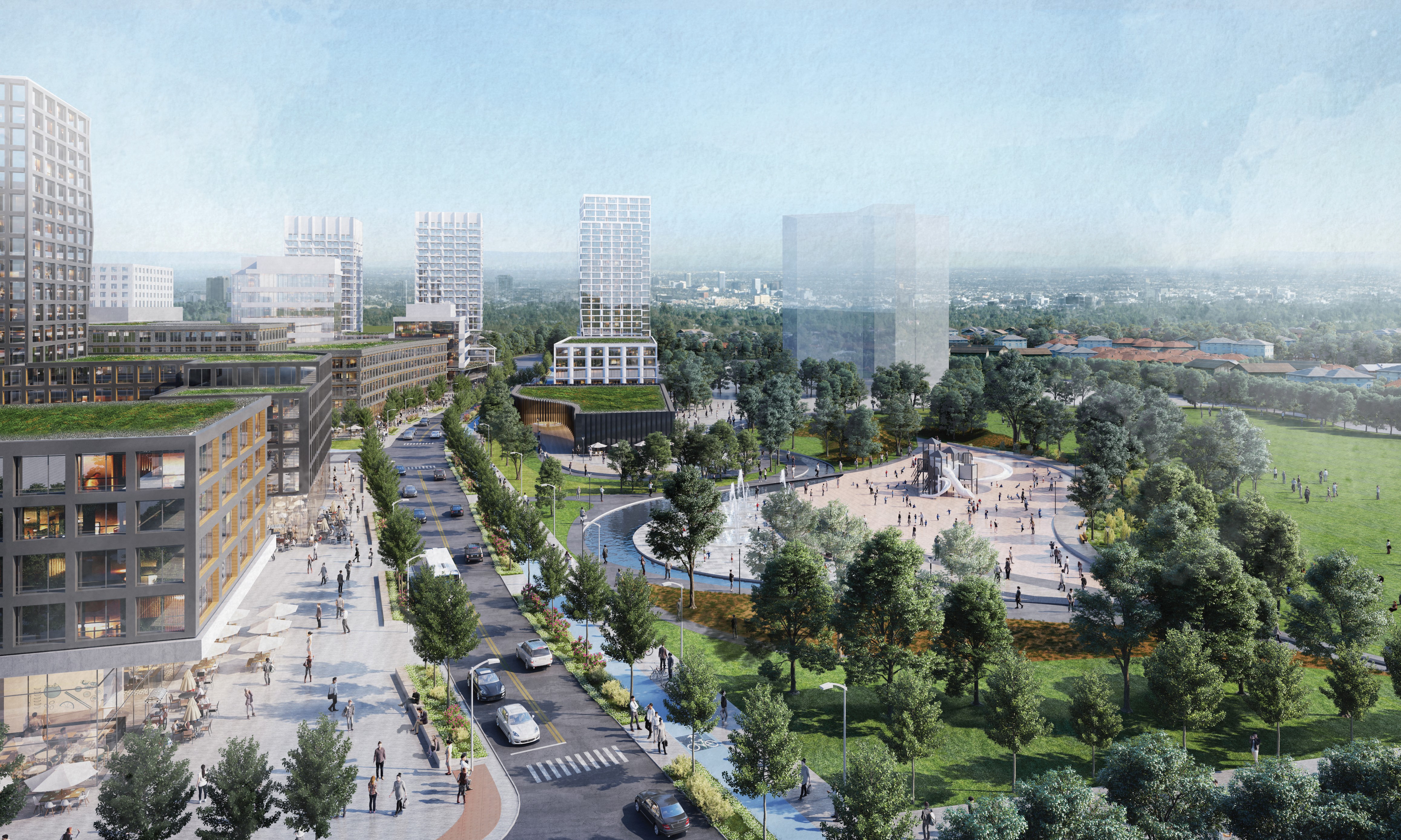 Looking south on Mill Street towards the park expansion and Steeles Avenue. The first phase tower is shown in the middle background.
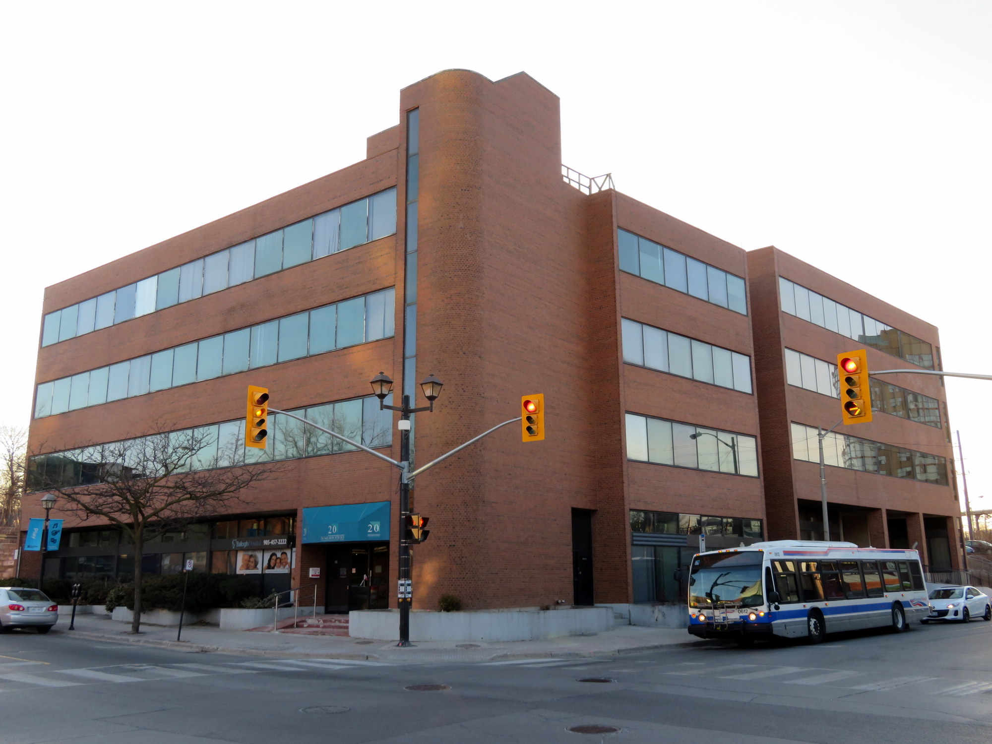 Vacated office buildings at George and Nelson Streets that may see new life under the city’s new plans
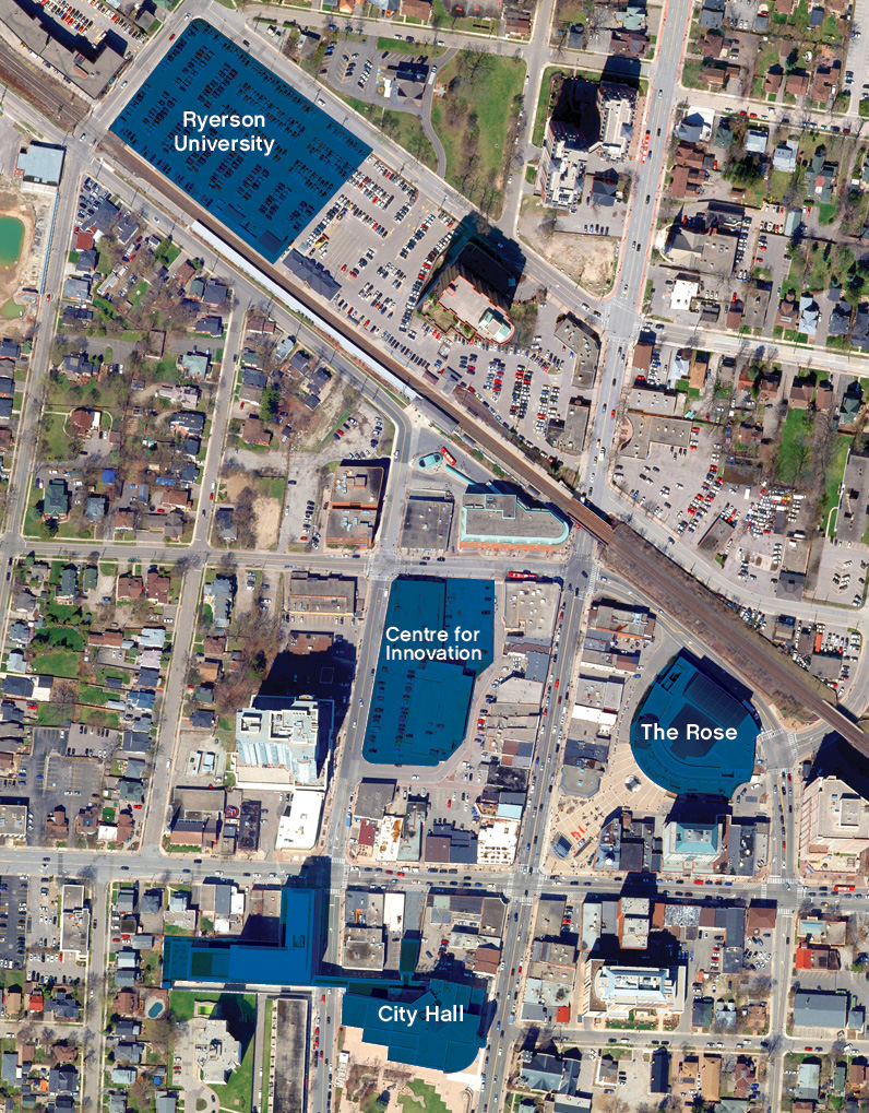
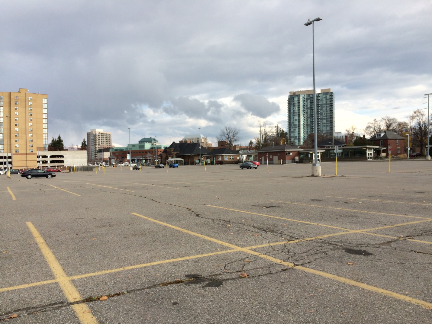 The existing GO Transit lot at Brampton Station, where the Ryerson University/Sheridan College campus was planned
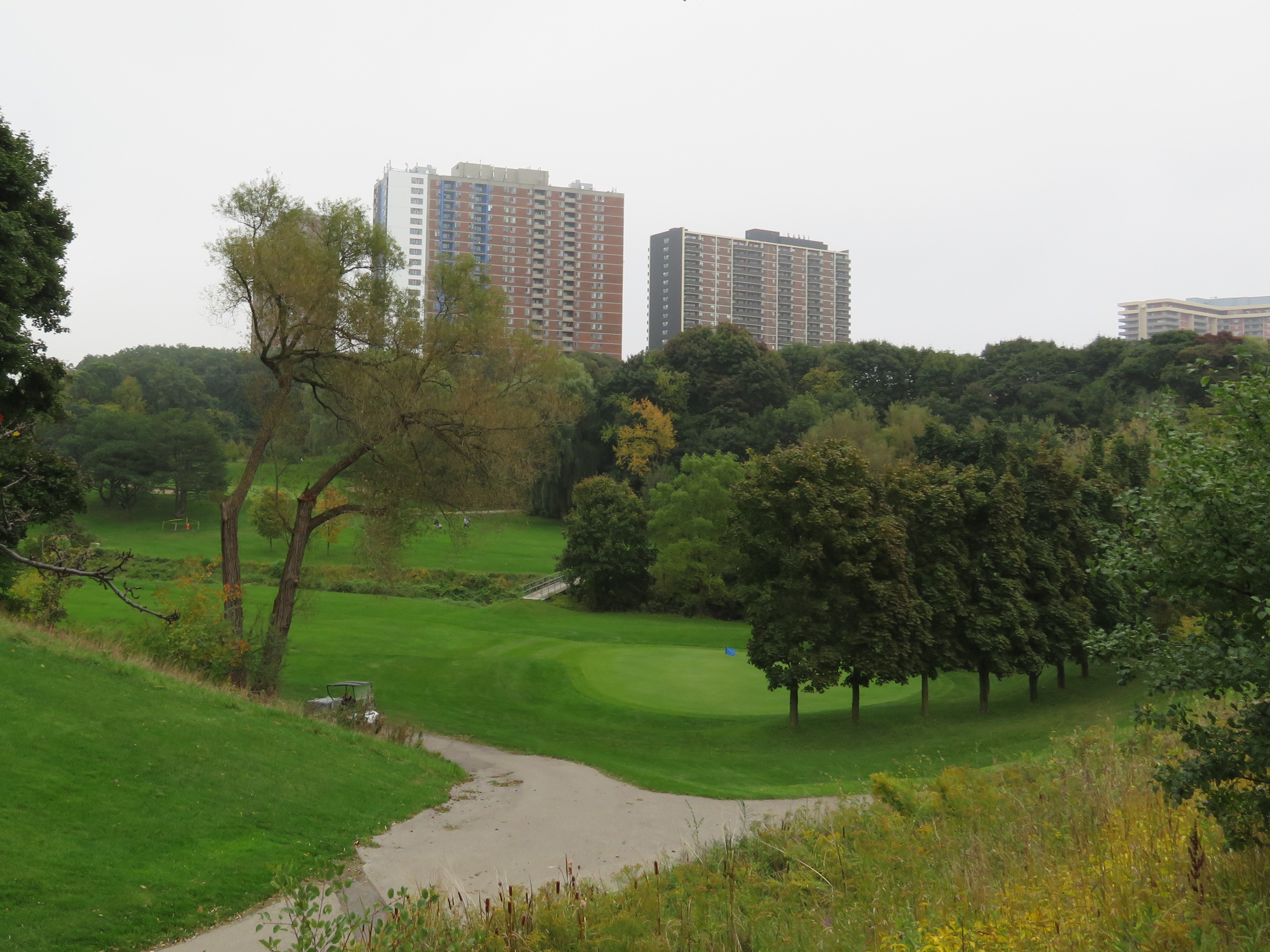 Dentonia Park Golf Course
 Boarded up storefront, Colborne Street, 2010

 Market Square
 The old Carnegie Library, Brantford
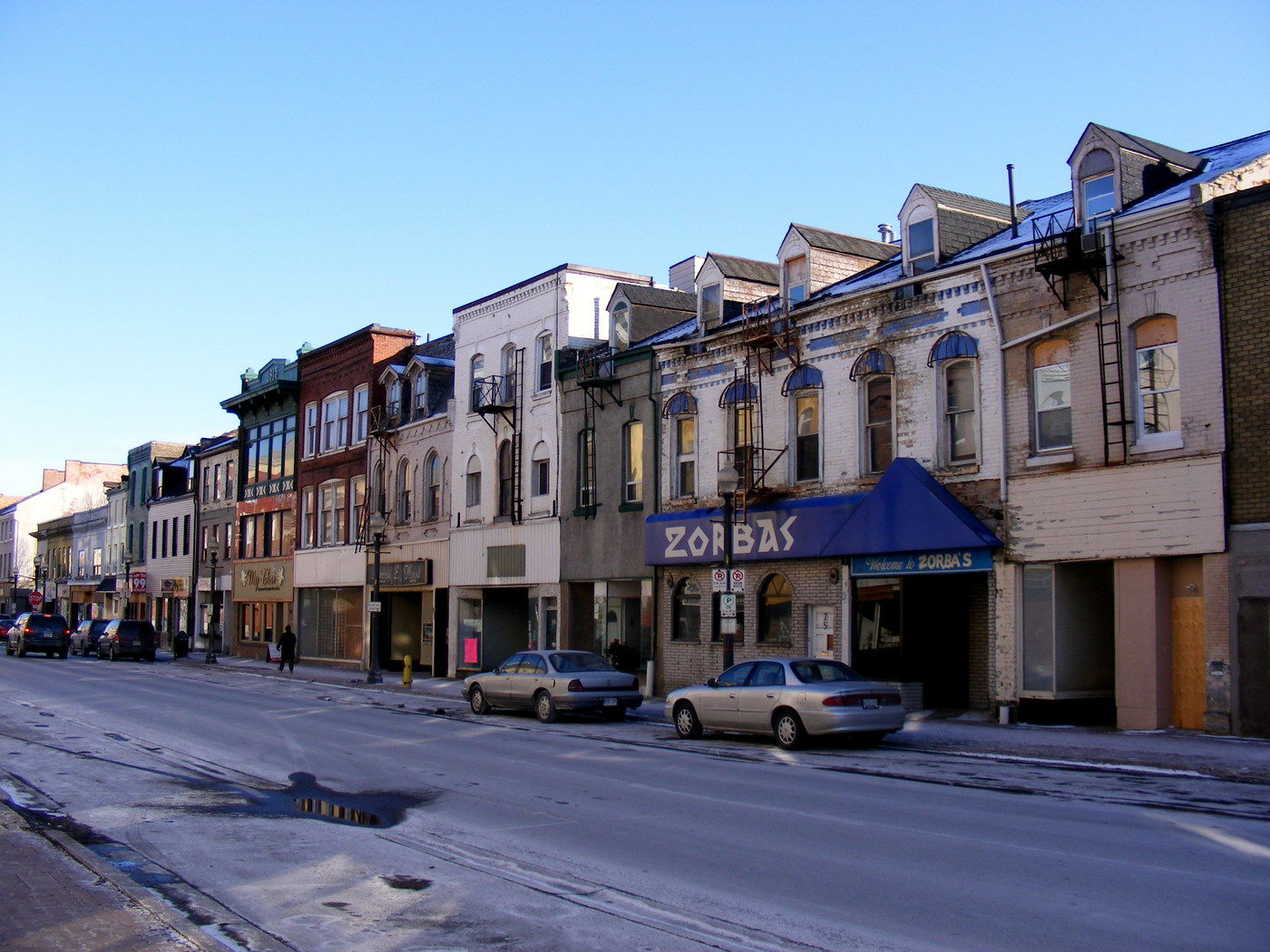 Colborne Street, January 2010
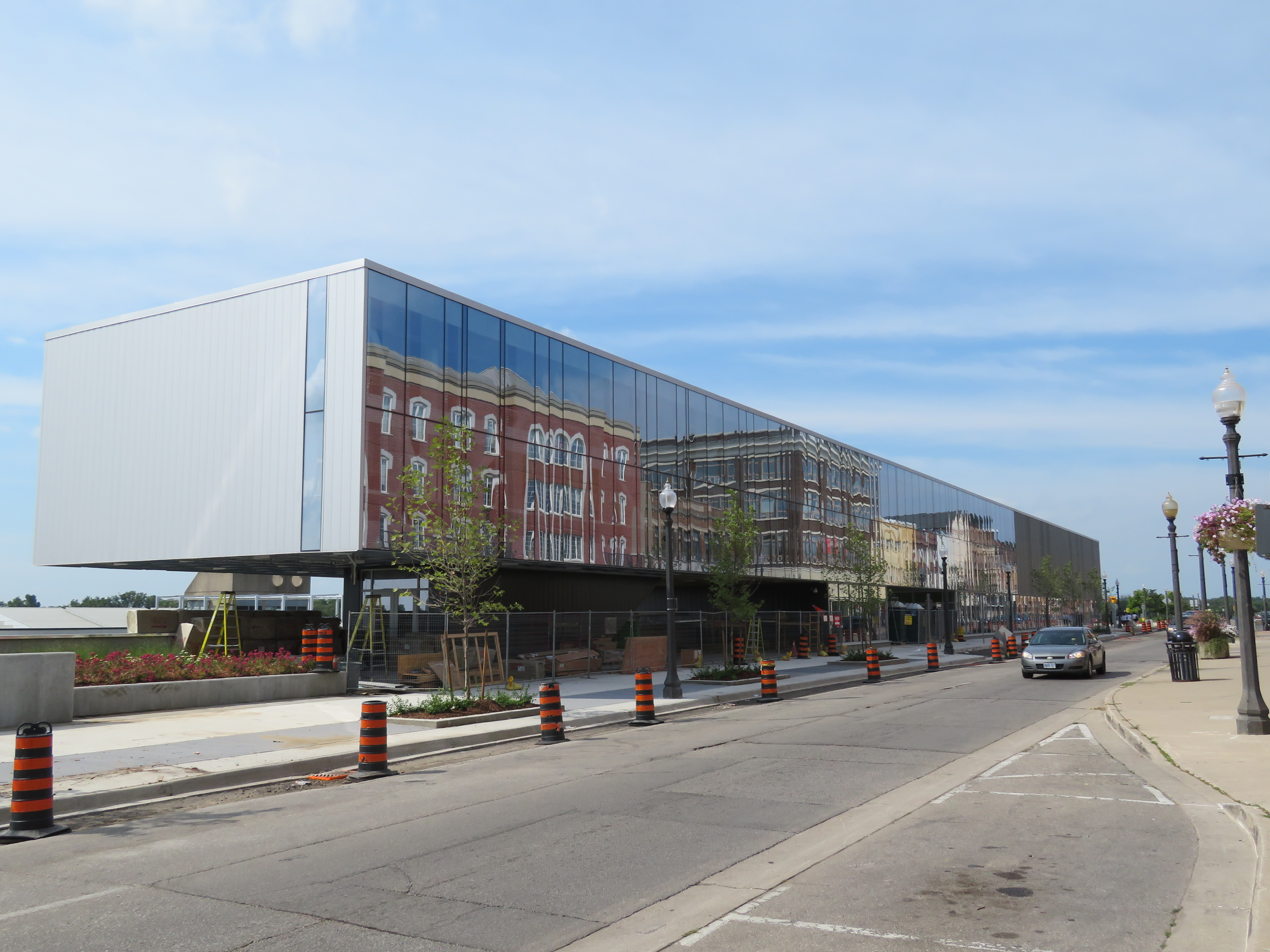 The architecture of the new YMCA-Laurier athletic building is sterile compared to the old Colborne Street storefronts
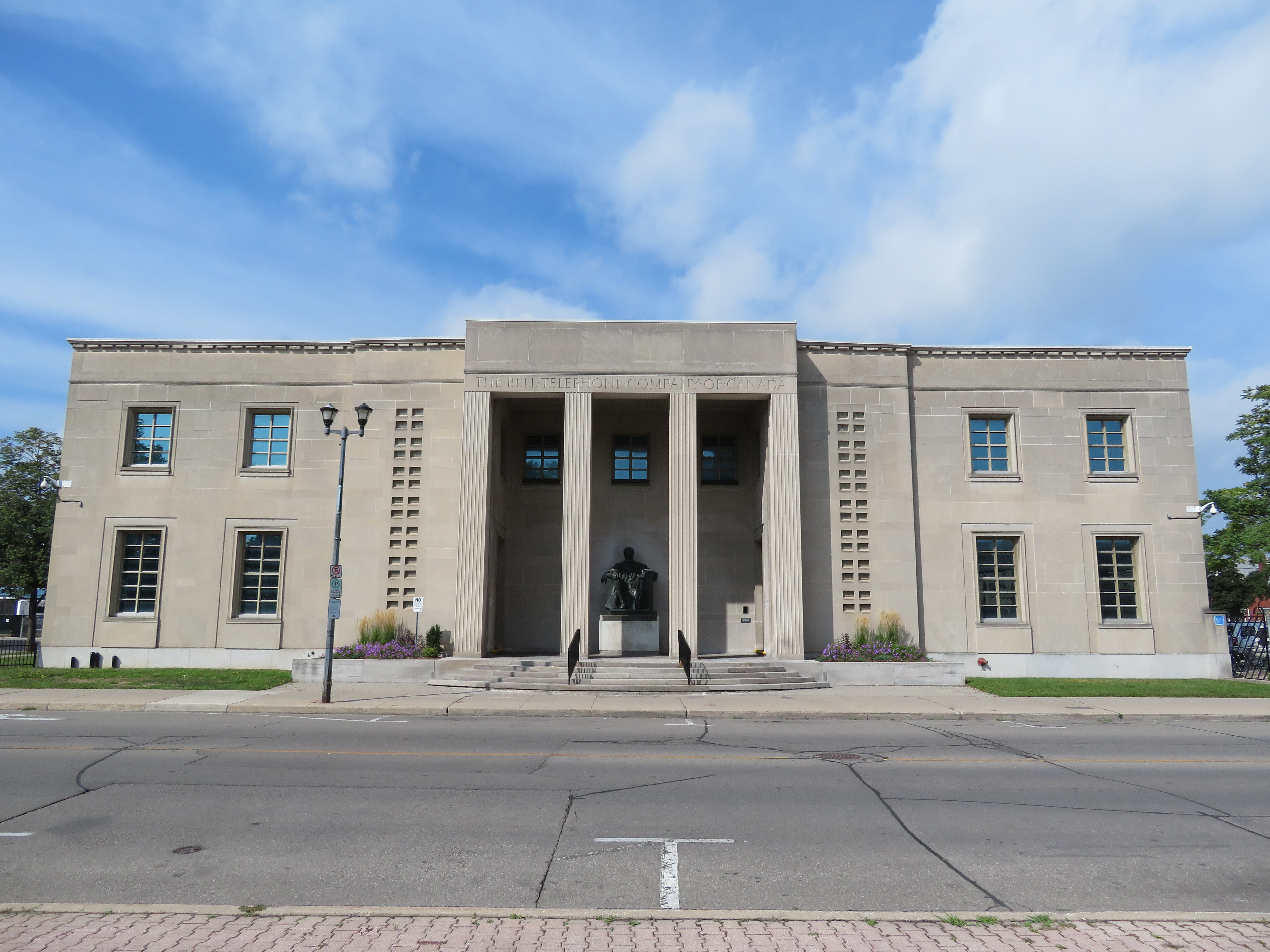 Bell Telephone Building
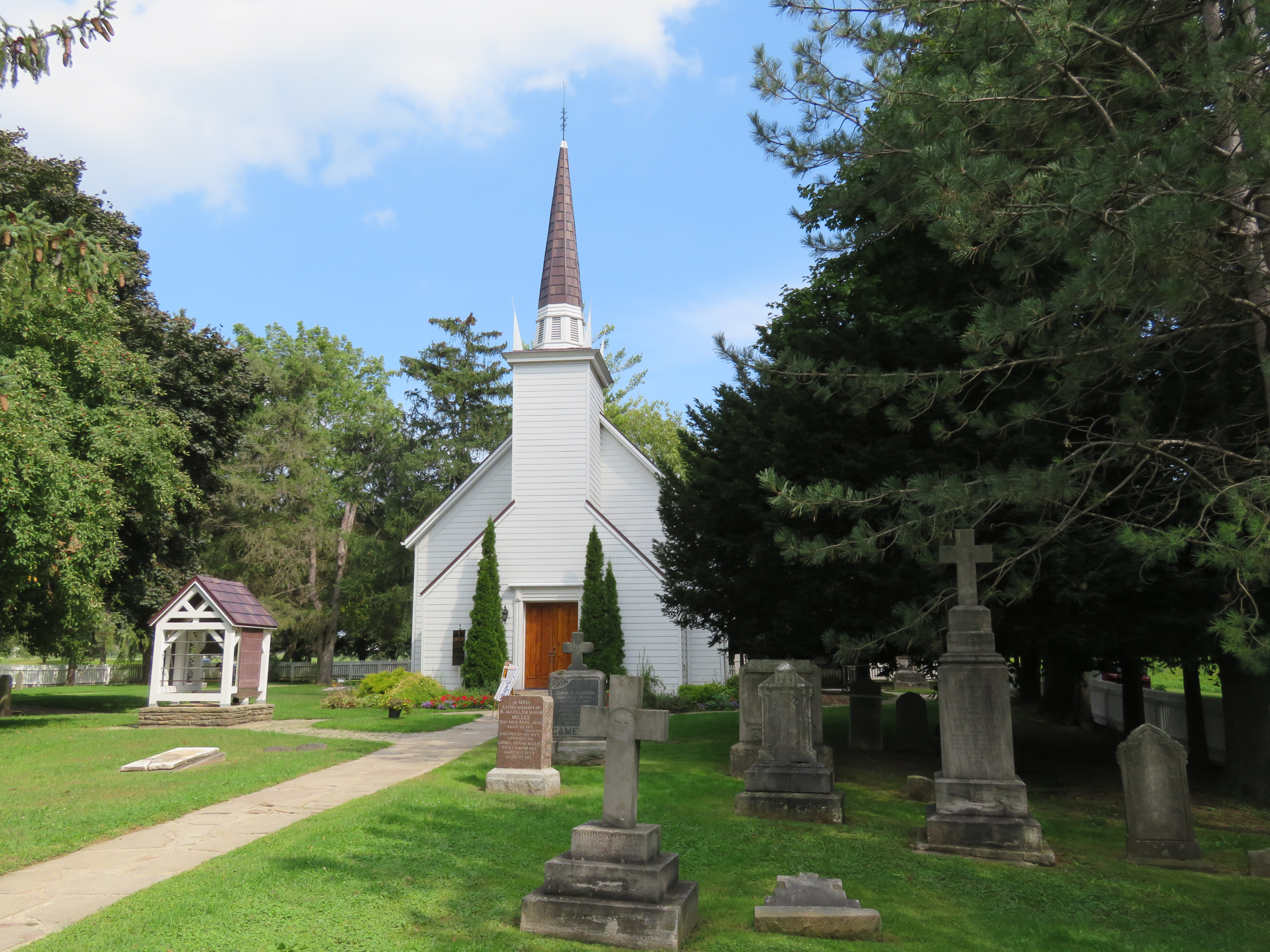 Her Majesty’s Royal Chapel of the Mohawks
 Woodland Cultural Centre. This building formerly housed the Mohawk Institute, one of many residential schools built as part of Canada’s shameful attempts at eradicating Indigenous heritage. It is now a First Nations museum and art gallery.
 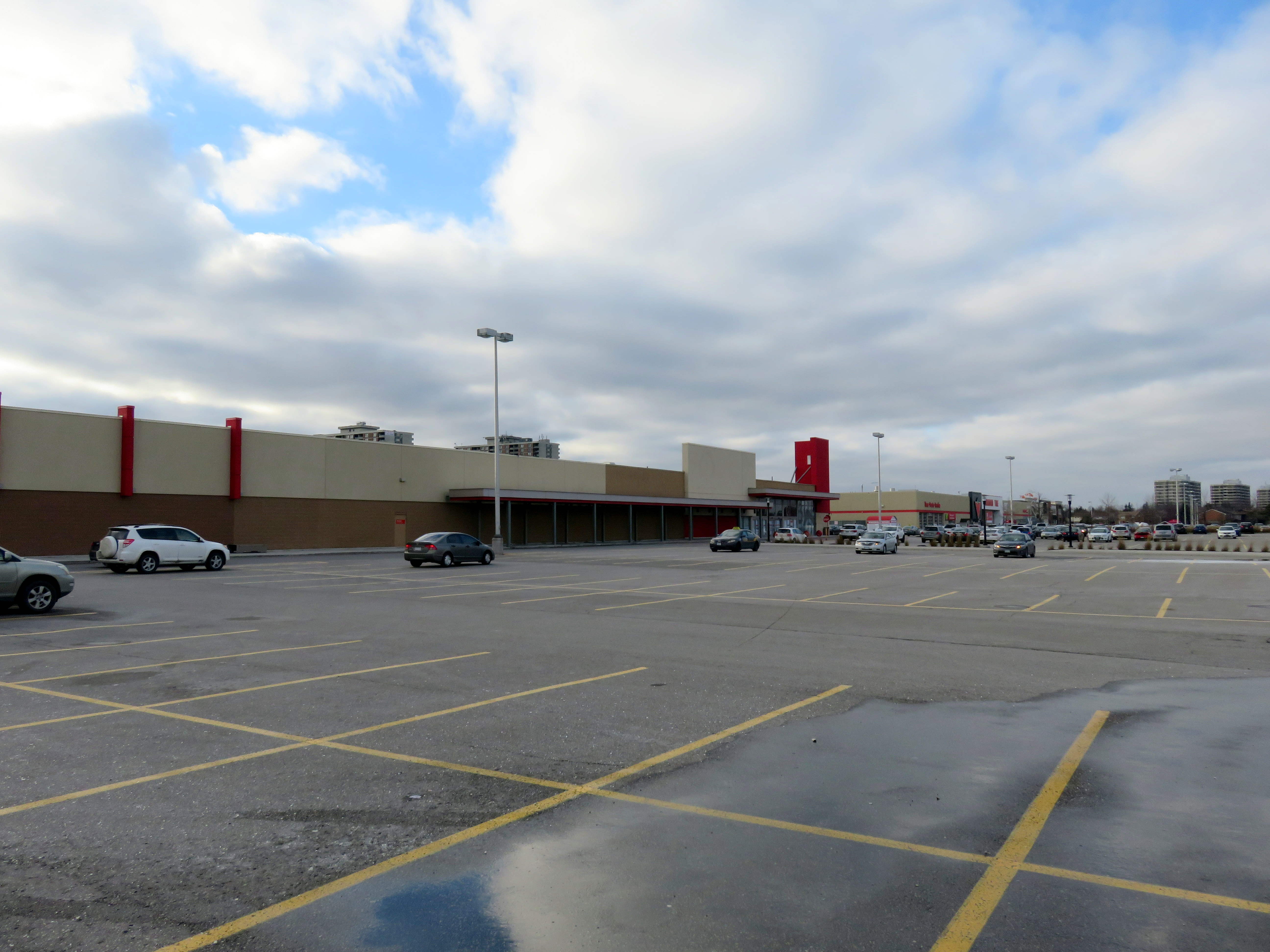 Shoppers World Brampton, 2016, before the Target store was replaced by smaller stores, including Giant Tiger
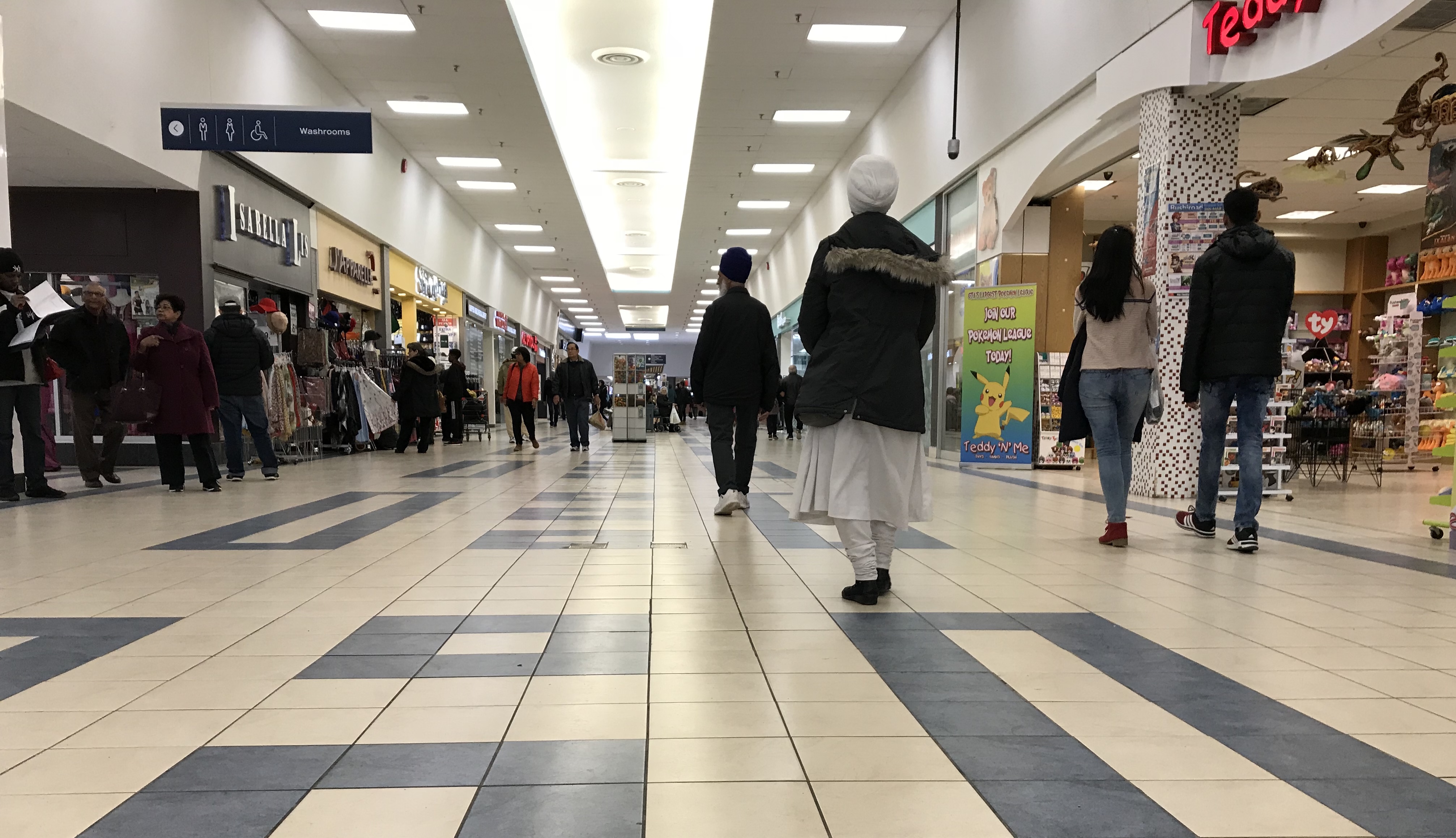