
Ten days ago, I spent the day at City Hall and addressed the Infrastructure and Environment Committee. While I was following news of a novel coronavirus that was affecting China, Italy, and Iran, it wasn’t on my mind that day.
What a difference a few days makes.
On Thursday, the province announced that elementary and high schools would close for a three-week-long March Break in an effort to contain an outbreak here. One by one, universities and colleges cancelled in-class lessons, with instructors having to move the remainder of their classes online. The World Health Organization declared COVID-19 a pandemic. Travel restrictions came into place. Restaurants were asked, then forced, to close for dine-in guests. Theatres, cinemas, and some retail chains followed suit. Most office workers were now working from home. Libraries, recreation centres, and even outdoor skating rinks were all shut down.
By Monday, March 16, the city was quiet.
My spouse and I live in an apartment downtown, without a car, so we’ve been going on short walks in the neighbourhood, careful to keep our distance from others (this has been tough to do in supermarkets as I pick up essential food and supplies). But I find the walks are necessary for my mental well-being. They’re also surreal.
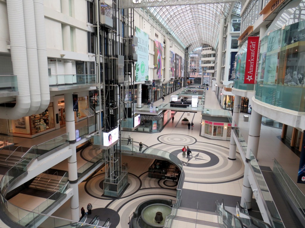
Though most stores in the Eaton Centre were open on Monday (Apple and Nike were among the first to voluntarily close all their retail stores), by Tuesday, nearly half were closed. On Thursday, only a handful were open, including, controversially, EB Games.)
The last time I saw the mall so empty during daytime hours, was walking back towards Union Station to go home from Ryerson University on the afternoon of September 11, 2001.
 Keeping distance inside Eaton Centre, Thursday, March 19, 2020
As a condition for permitting the mall’s construction in the 1970s, the City of Toronto required permanent, twenty-four hour public access along the corridor between Shuter Street and James Street, behind Old City Hall. This concession was made because the new mall required several east-west public streets to be closed between Queen and Dundas Streets.
As a matter of practice, most of the mall’s corridors remain open during all hours, providing access to local streets and two subway stations. The only time I encountered locked doors was during the 2010 G-20 Summit fiasco.
 GO Transit’s York Concourse at Union Station during the afternoon rush hour on Monday, March 16
Meanwhile, other busy public spaces, such as the GO Transit concourse at Union Station were also eerily quiet. While it is good that most are able to heed the calls from public health officials and political leaders to stay home where possible, I hope that we can continue to build transit, and not enter another lost decade of service cuts and ignoring needs for more infrastructure.
Busy streets, like Bloor and Queen, are also quiet. With no where to go, there’s very little traffic.
 The “Hug Me Tree” on Queen Street West
Though I want to remain optimistic, I suspect it won’t be until the end of April at least before some of the social distancing requirements are relaxed. Though it’s tough for many of us, it is necessary to keep hospitals from being overwhelmed and the population as healthy as possible.
We’ve been streaming more movies and television shows and playing party games remotely with family and friends online, with audio and video links to keep us engaged with each other. Sometimes on our walks, we’ll order takeout from some of our favourite independent restaurants and coffee shops.
These are some of the little things that can be done when very little is asked of most of us.

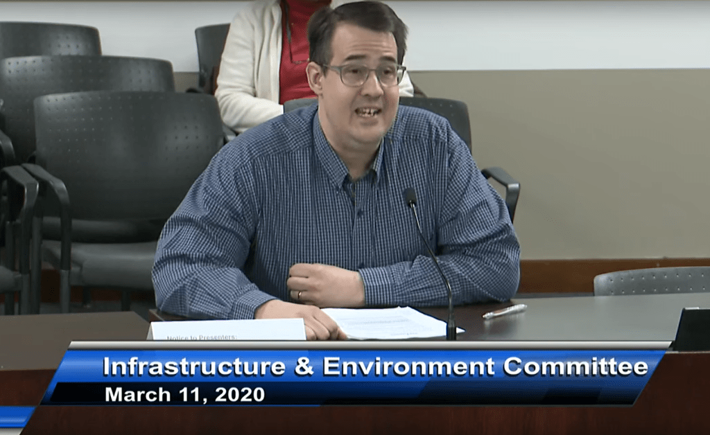
 On Wednesday, March 11, I deputed to the Infrastructure and Environment Committee at Toronto City Hall
 GO Transit buses used to stop right in front of Vari Hall, in the heart of York University’s campus
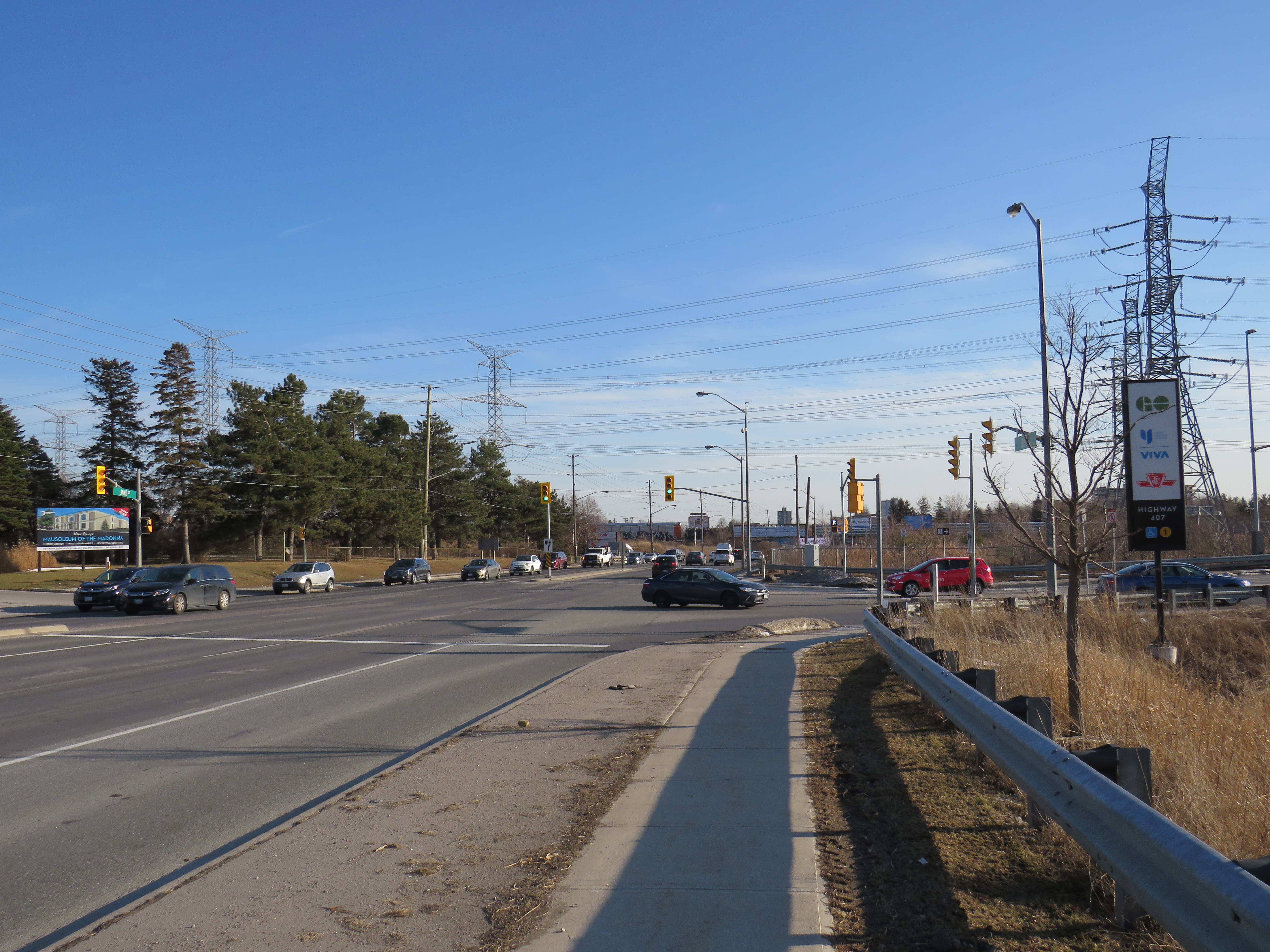
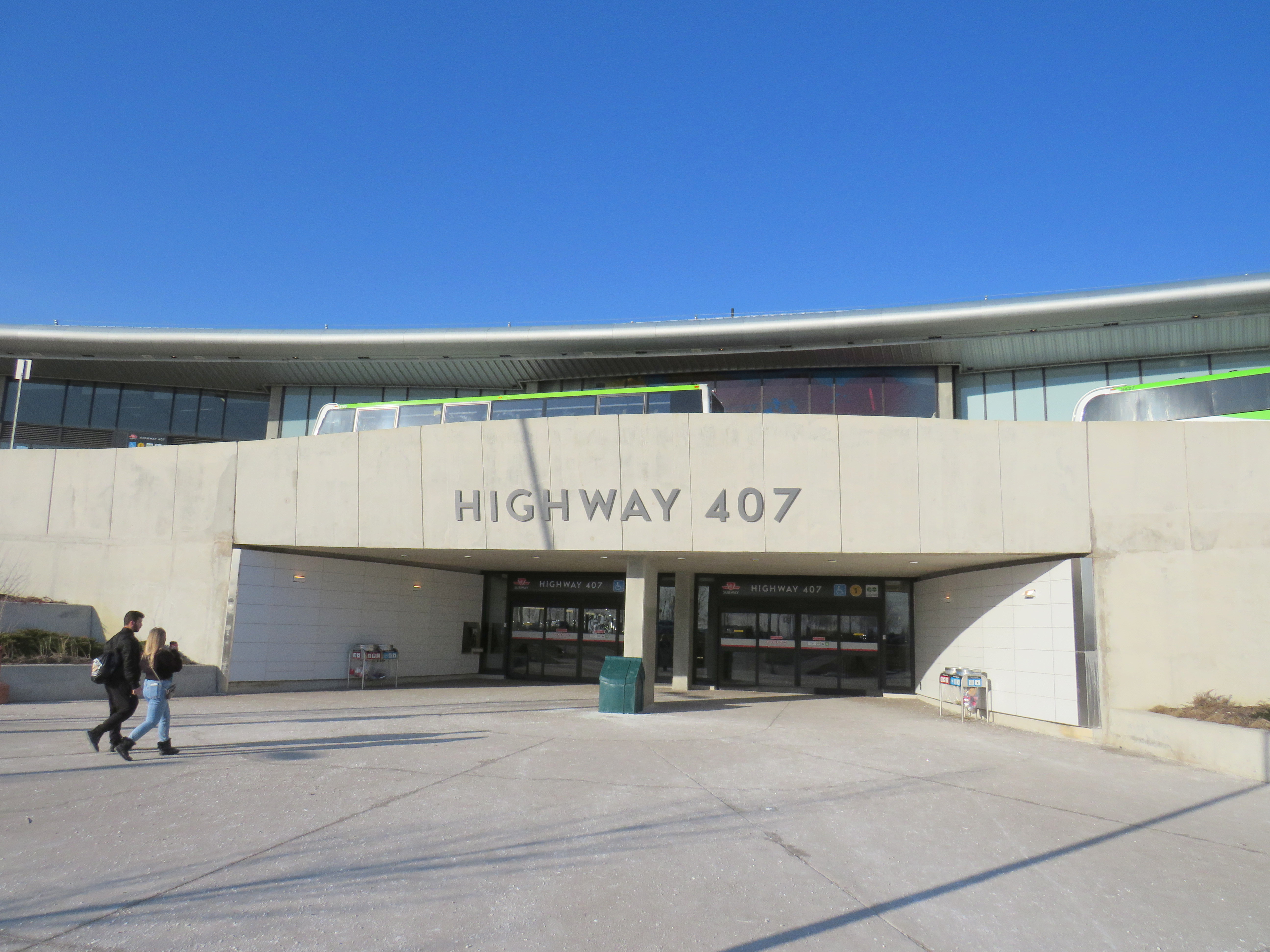
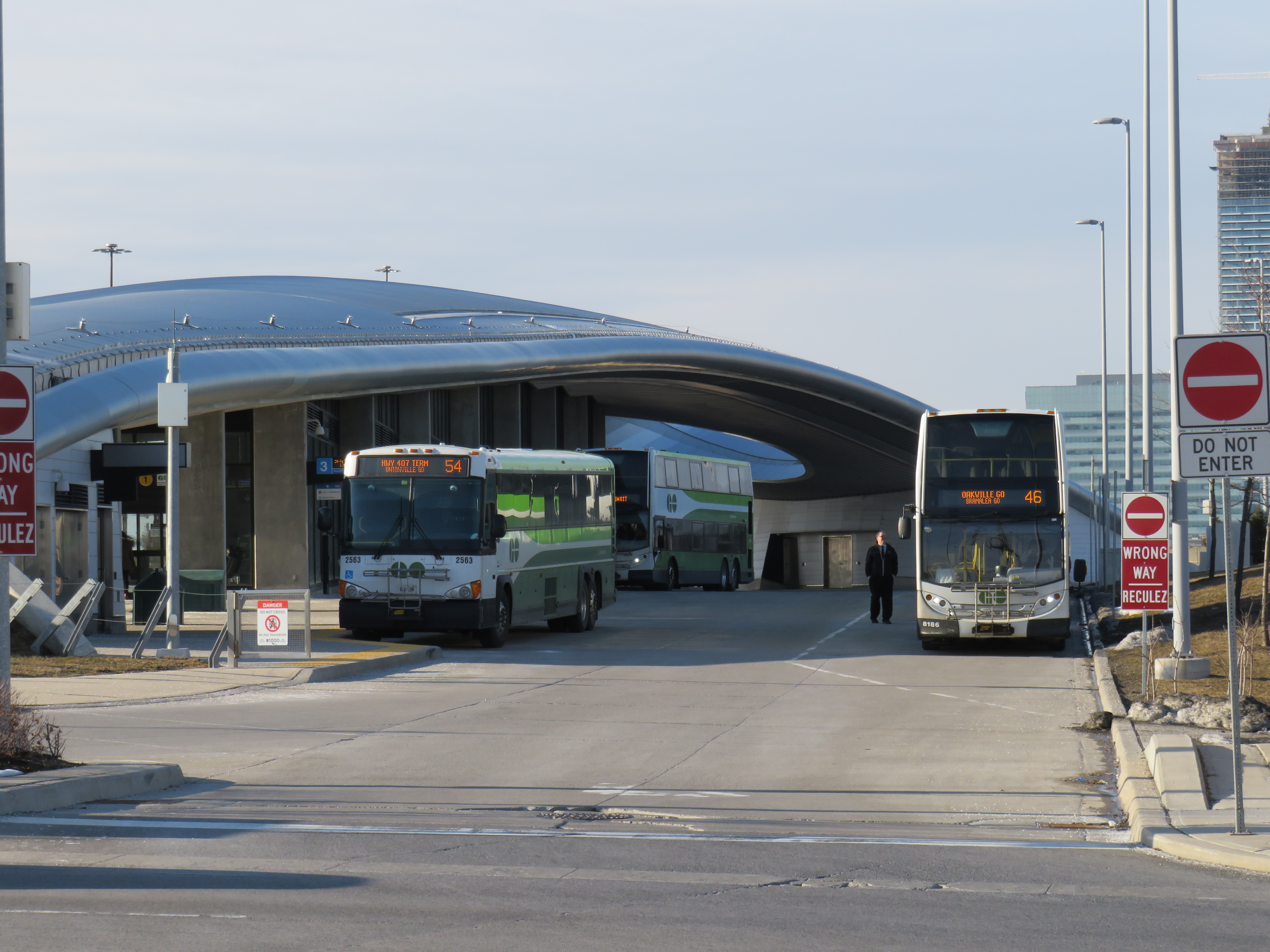
 The stained glass at Highway 407 glows in the late afternoon sun. But it doesn’t take away from a poor user experience.


 A broken system
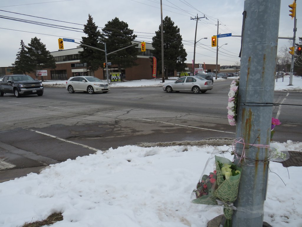

 The intersection of Alness and Supertest, with a makeshift memorial on the southwest corner
 The only sidewalk on Supertest Road comes to an end halfway between Dufferin and Alness
 Looking west on Supertest Road, with the sharrow, TTC stop, and bike route sign on the right
 A mock-up of a re-imagined Danforth Avenue, Summer 2019
 Memorial to 77-year old Pasquina Lapadula in front of her apartment building on Islington Avenue north of Finch
 Islington Avenue looking south from Aviemore Drive towards Finch Avenue
 TTC bus stopped in bay in front of Pasquina Lapadula’s apartment building
 Islington and Finch Avenues

 Smashed pedestrian refuge island on McCowan Road
