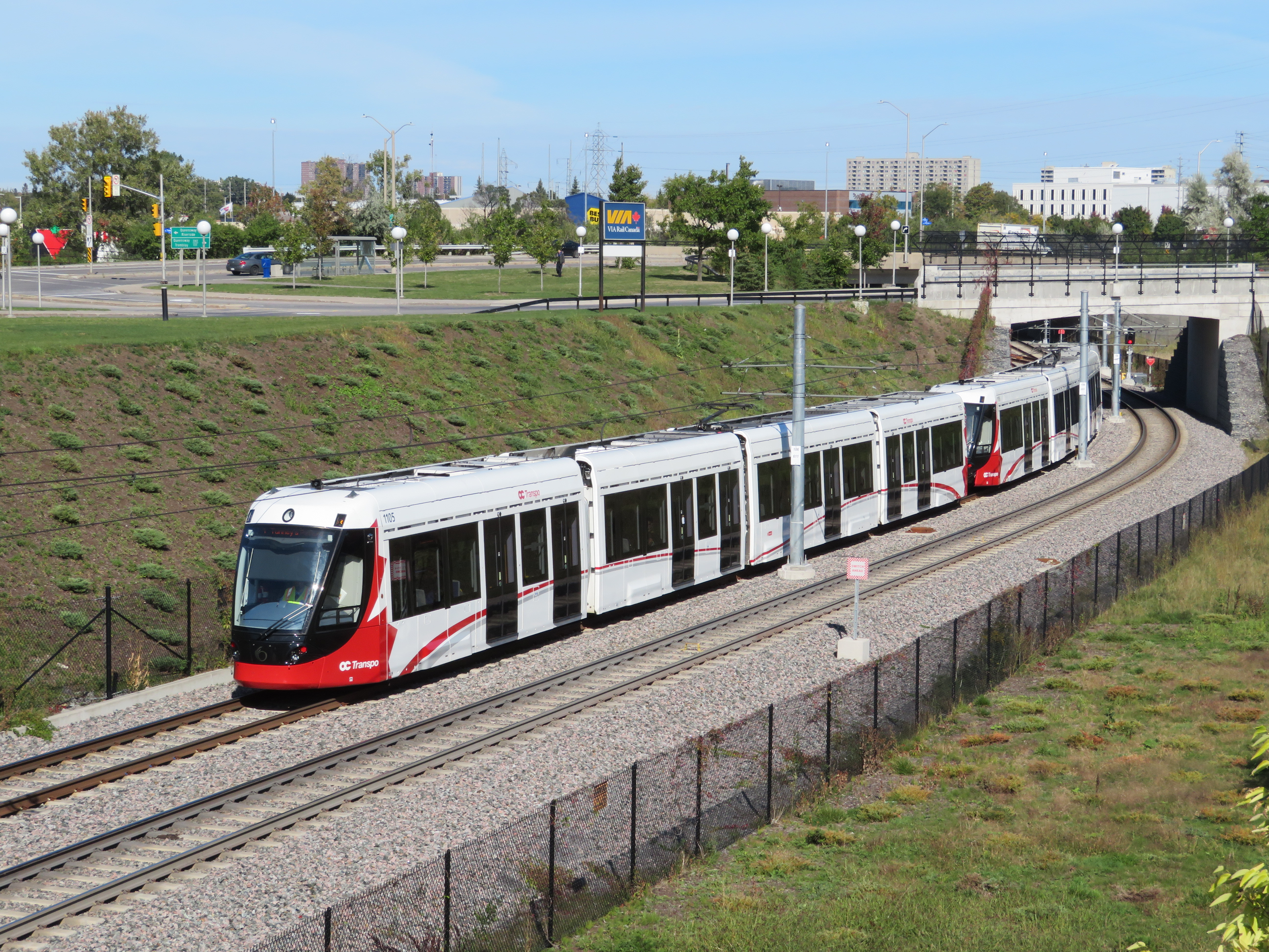
 Confederation Line train approaching Tremblay Station
Last weekend, I visited Ottawa to check out the new Confederation Line LRT. Canada’s newest rapid transit line, delayed by two years, finally opened on Saturday, September 14. It is the second LRT to open in Ontario this year; Waterloo Region’s ION service opened in June.
The new 13-station Confederation Line includes a 2.5-kilometre tunnel under Downtown Ottawa, with three stations deep underground. Phase 2 will add 15 more stations to the Confederation Line. I was impressed with the speed, accessibility, and capacity of the new LRT, though I noticed a few flaws, some of which hopefully will be corrected.
The Confederation Line is not the Ottawa Region’s first rapid transit project, however. The Transitway first opened in 1983, one of the world’s first true bus rapid transit systems. Rapibus, a BRT corridor in Gatineau similar to the Transitway, opened in 2013. In 2001, the Trillium Line, a diesel light rail service, opened. It operates on a disused Canadian Pacific Railway corridor through Carleton University. Collectively, the Confederation Line (Line 1) and the Trillium Line (Line 2) are marked at the O-Train.
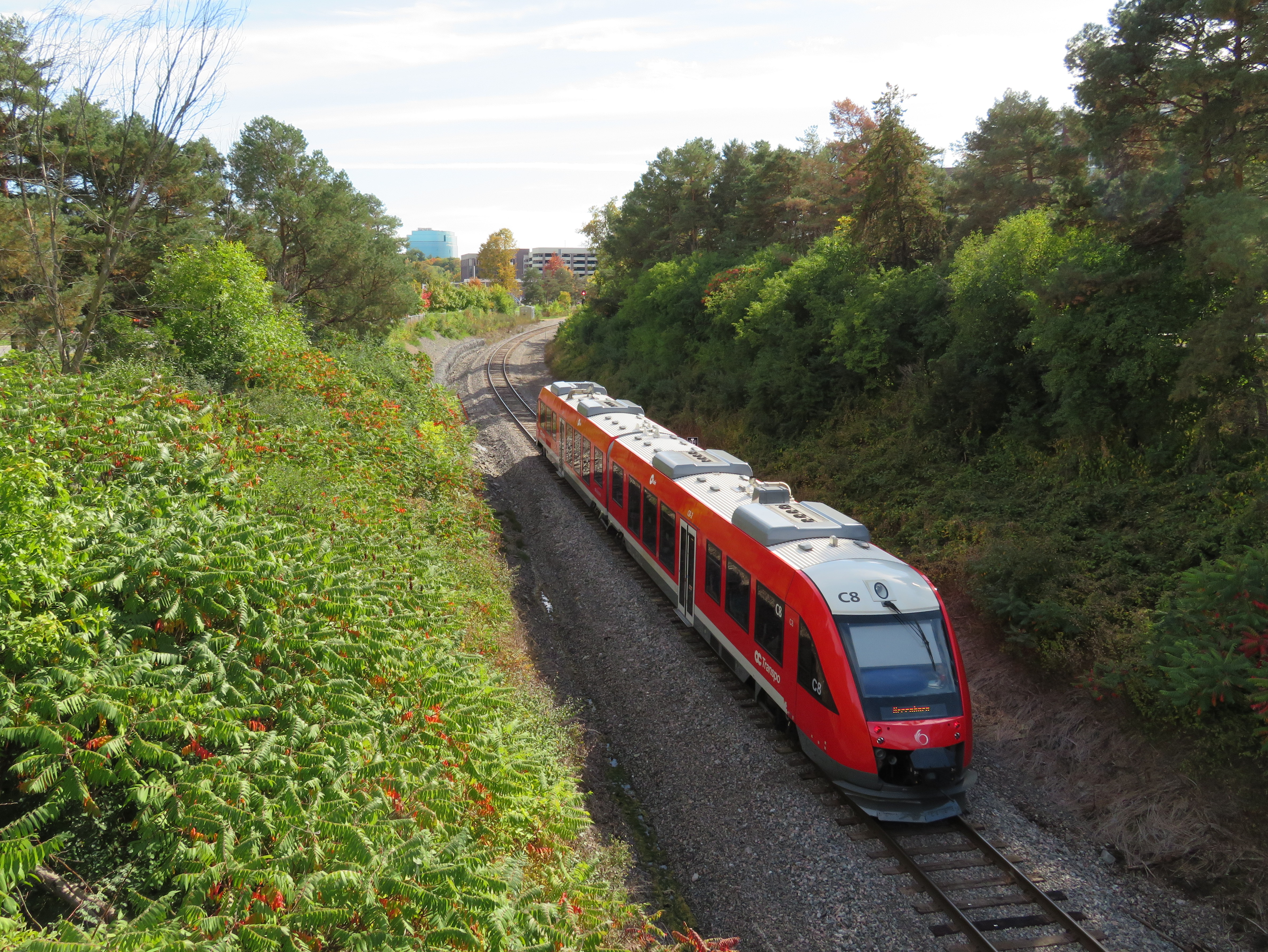
Trillium Line DMU train approaching Carleton University
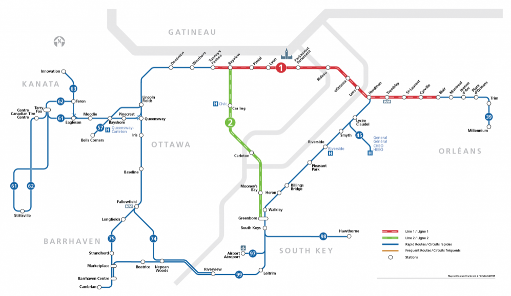
O-Train and bus rapid transit map from the OC Transpo website. The Confederation Line is marked on maps and signs as Line 1; the diesel Trillium Line as Line 2.
The first phase of Line 1 replaces the busiest section of the Transitway, including the congested on-street downtown section on Albert and Slater Streets. Though most sections of the Transitway are grade-separated — following the Queensway (Highway 417) on the east end and an abandoned railway corridor on the west end — the downtown section was the weak link. As OC Transpo, Ottawa’s transit agency operated dozens of suburban express routes into the Transitway during weekday peak periods, lines of buses would often stretch for blocks, an especially inefficient transit operation.
 Bus congestion on the Mackenzie King Bridge in Downtown Ottawa in 2011
With most buses gone from the downtown core, the LRT allows for much more efficient operations, even if many commuters no longer enjoy a one-seat ride to work.
At several stations, including the Transitway connections at Blair, Tunney’s Pasture and Hurdman, fare-paid areas allow passengers to move between bus and train without having to tap at faregates or show fare payment to the bus operator, like many TTC subway stations. This helps to ensure the LRT is a backbone to a strong feeder bus network, rather than a stand-alone operation.
Most stations are equipped with escalators as well as multiple stairways. There were two side-by-side elevators at most points, providing the necessary redundancy to ensure full barrier-free accessibility. Access is controlled with fare gates like those in Toronto, where Presto cards, paper tickets, and transfers provide access to platform level. All O-Train stations are identified by a simple red circle at each entrance that looks similar to a Lifesaver candy.
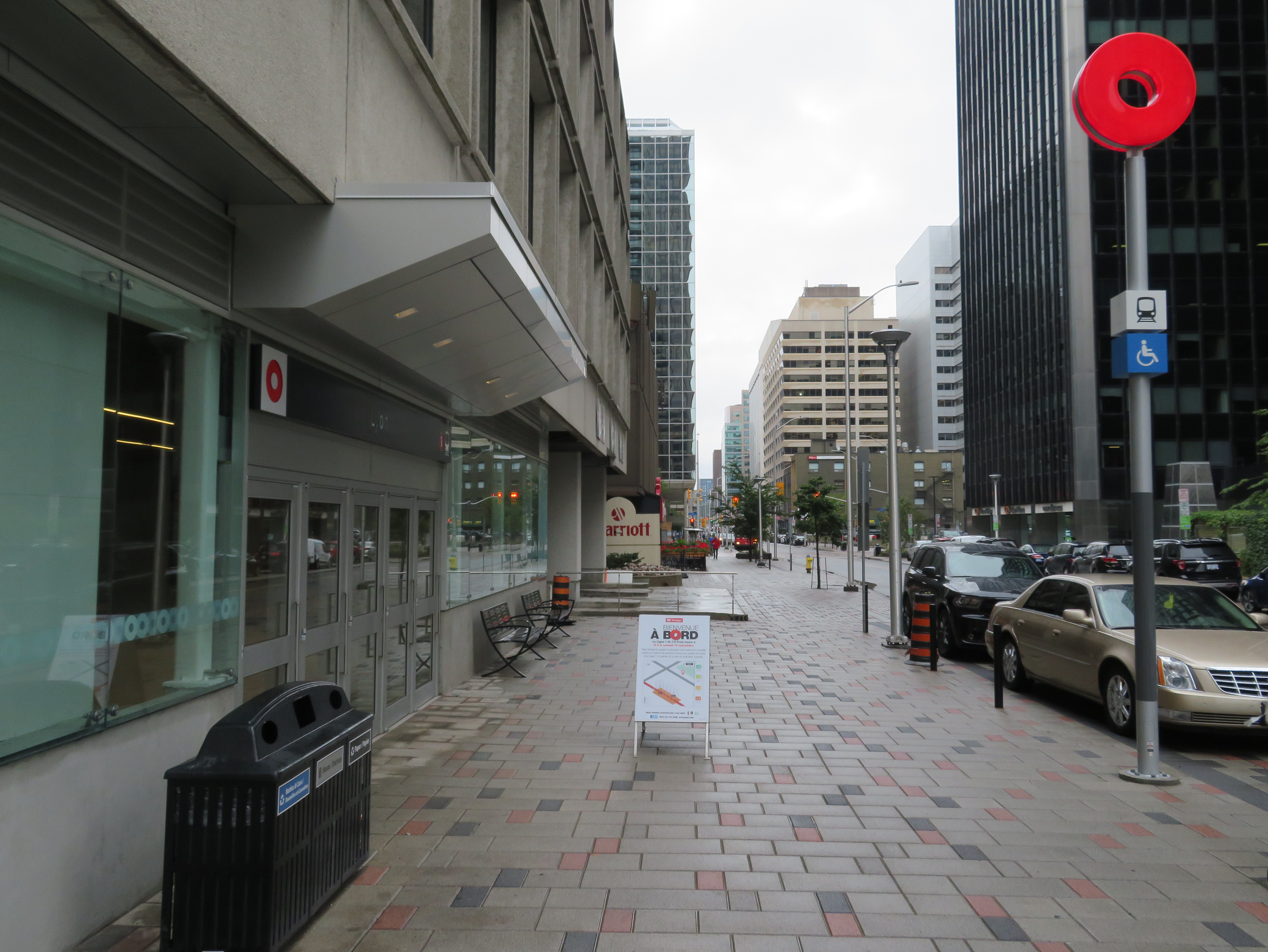 Downtown entrance to Lyon Station, with the O-Train “Lifesaver” totem
Unfortunately, some of those rail-bus connections require a long walk outside, such as at Hurdman Station. This was probably the greatest flaw I experienced during my visit last week. Though it was tolerable on a sunny September afternoon, it would be extremely unpleasant in winter or during a rainstorm. It’s unfortunate that the bus terminal was not better thought out to minimize distances between buses and train platforms.
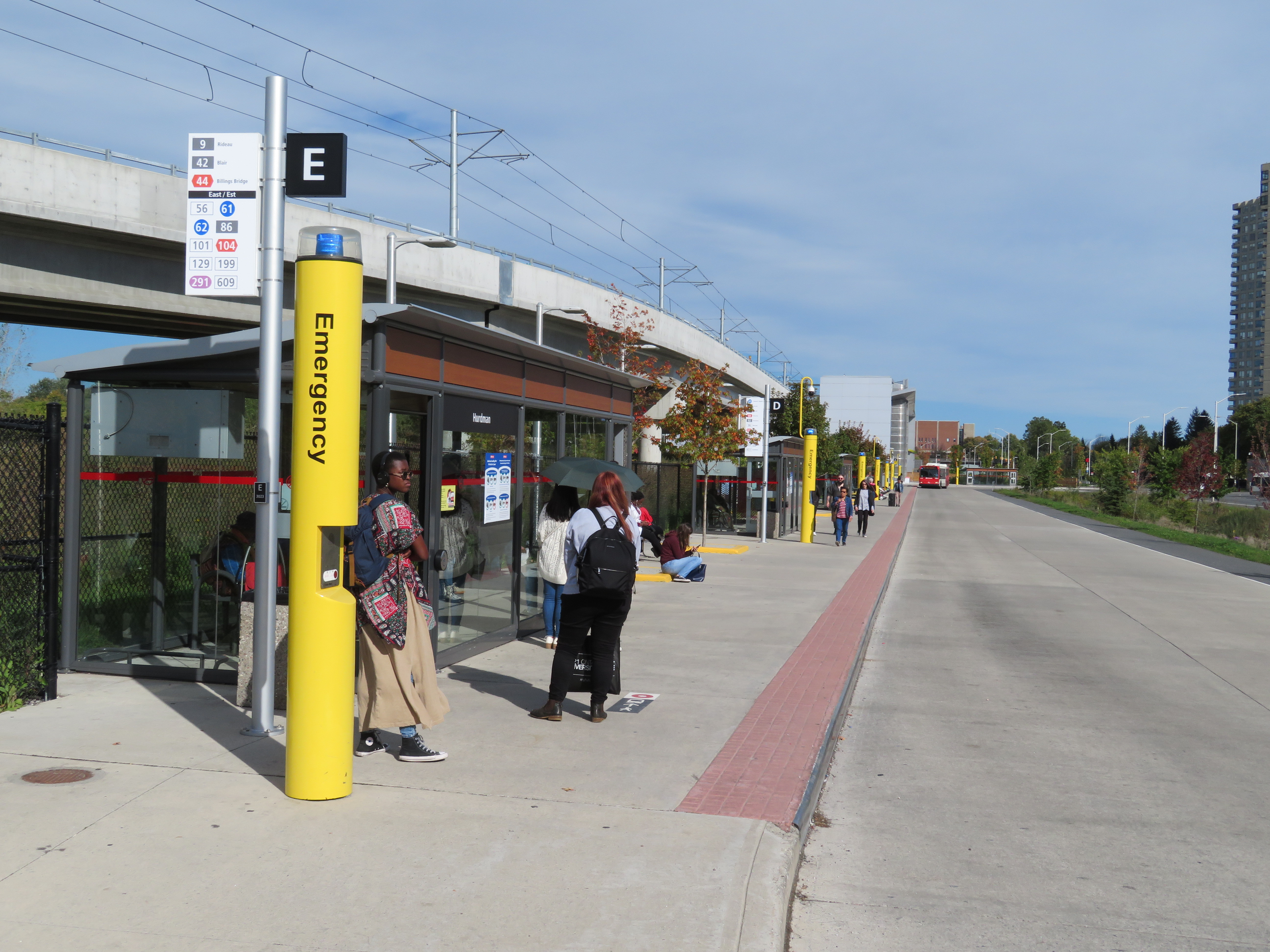
Bus bay E at Hurdman Station. The bus in the distance is in front of the entrance to the train platforms
A long-term challenge for the Confederation Line is the ability to direct transit-oriented development around many of the new stations. Though Hurdman Station is major transfer point with the Southeast Transitway, it is located in a floodplain next to the Rideau River. Iris and Blair Stations are located within highway interchanges. There is more potential around Pimisi Station (in the Lebreton Flats, which are already seeing new urban development), St-Laurent (where a second-tier mall could be urbanized), and possibly Cyrville. But all east-end stations are limited by the Queensway.
These bus transfer and land use concerns were also raised by Alex Bozikovic at the Globe and Mail.
Vicinity of Hurdman Station
To the west, however, there is lots of potential for the government office complex at Tunney’s Pasture, which is surrounded by thousands of surface parking lots, as well as eastern Phase 2 stations, which will follow former railway and streetcar corridors, allowing for infill development and urbanization.
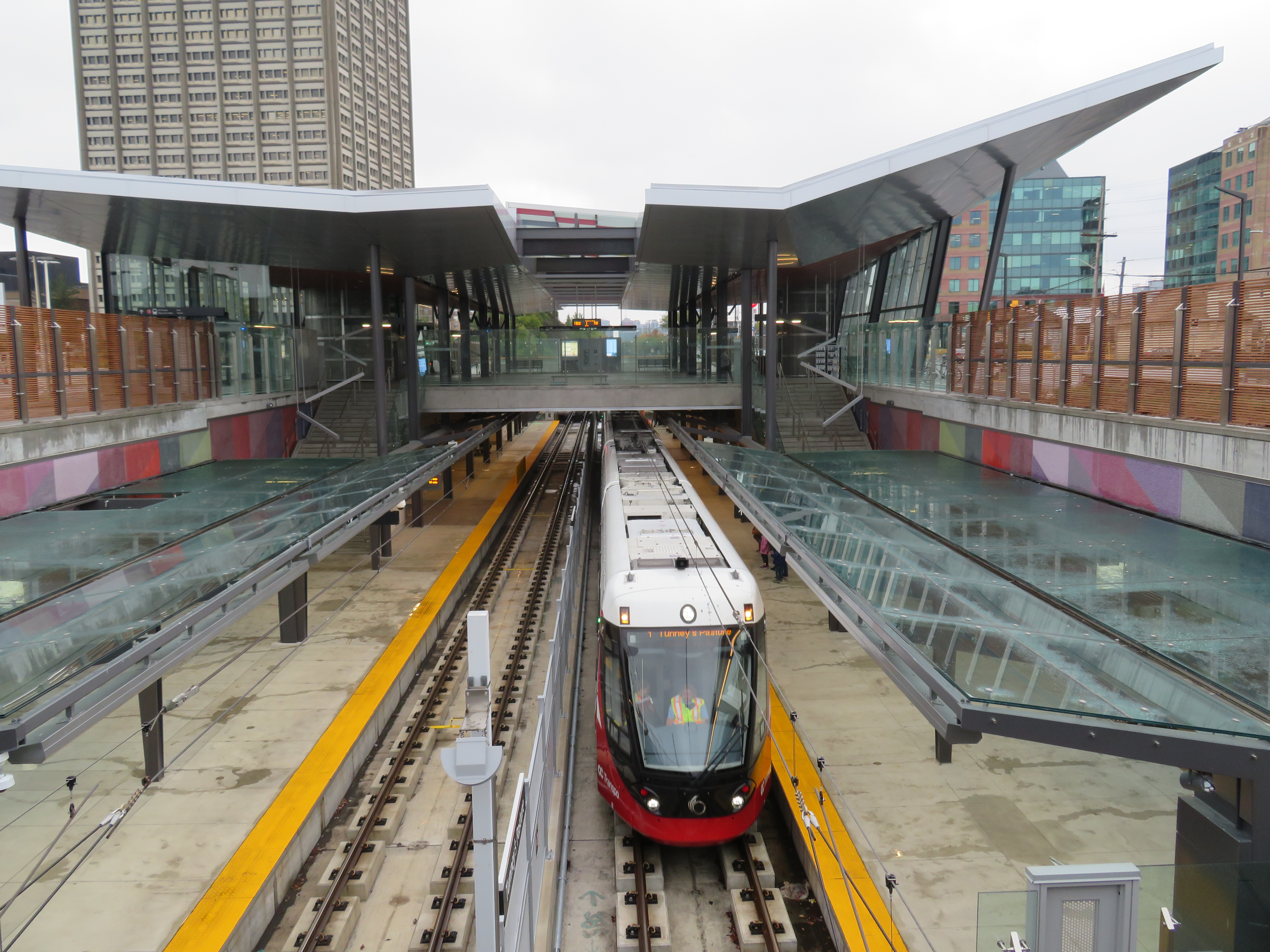 Train arriving at the Tunney’s Pasture terminal
Light rail transit is misunderstood in Toronto, where it is often equated with streetcars, rather than a flexible rapid transit solution. Indeed, light rail covers a wide spectrum, from traditional streetcars, like the TTC’s legacy street railway, to fully grade-separated high-speed LRTs, like Ottawa’s new line. (The Waterloo ION LRT, with a mix of reserved lanes, median operation, and off-road segments, fits somewhere in between.)
The Confederation Line’s average speed is 31 km/h, with a top speed of 80 km/h. In comparison, TTC Line 1 has a weekday average speed of 28 km/h, and the 501 Queen Streetcar has an average speed of just 9.9 km/h during the morning rush hour. The Waterloo ION LRT currently has an average speed of 21 km/h.
It is worth noting that the Scarborough RT replacement, once fully funded and ready to start construction six years ago, would have been just as fast and smooth as the Confederation Line. Instead, our local and provincial politicians continue to spin their wheels on planning a subway extension that’s going nowhere. Meanwhile, Ottawa has already started work on Phase 2 of its light rail network.
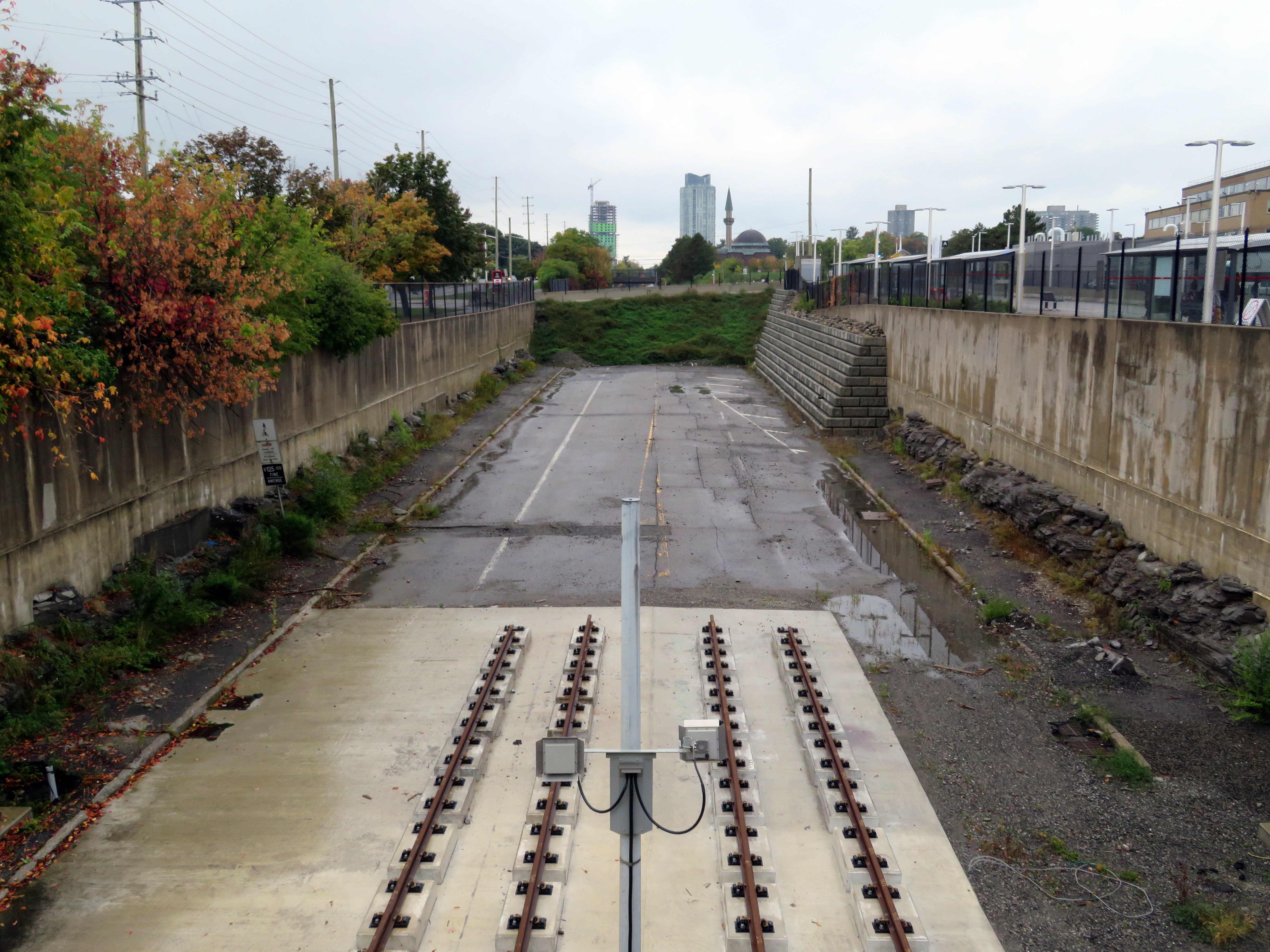 The end of the beginning: the old Transitway is visible west of Tunney’s Pasture, where Phase 2 of the Confederation Line will continue towards Baseline and Moodie Stations
The Eglinton-Crosstown LRT will have a long underground segment, with two-car LRT trains similar to those used in Ottawa. When that opens — planned for late 2021 — Torontonians will finally get a taste of high-order light rail transit.


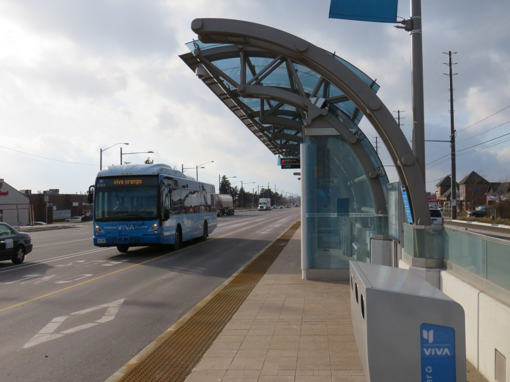
 A broken system
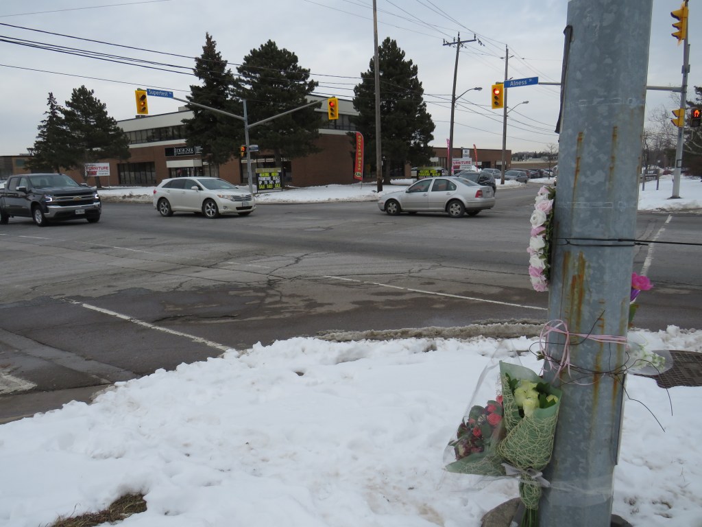
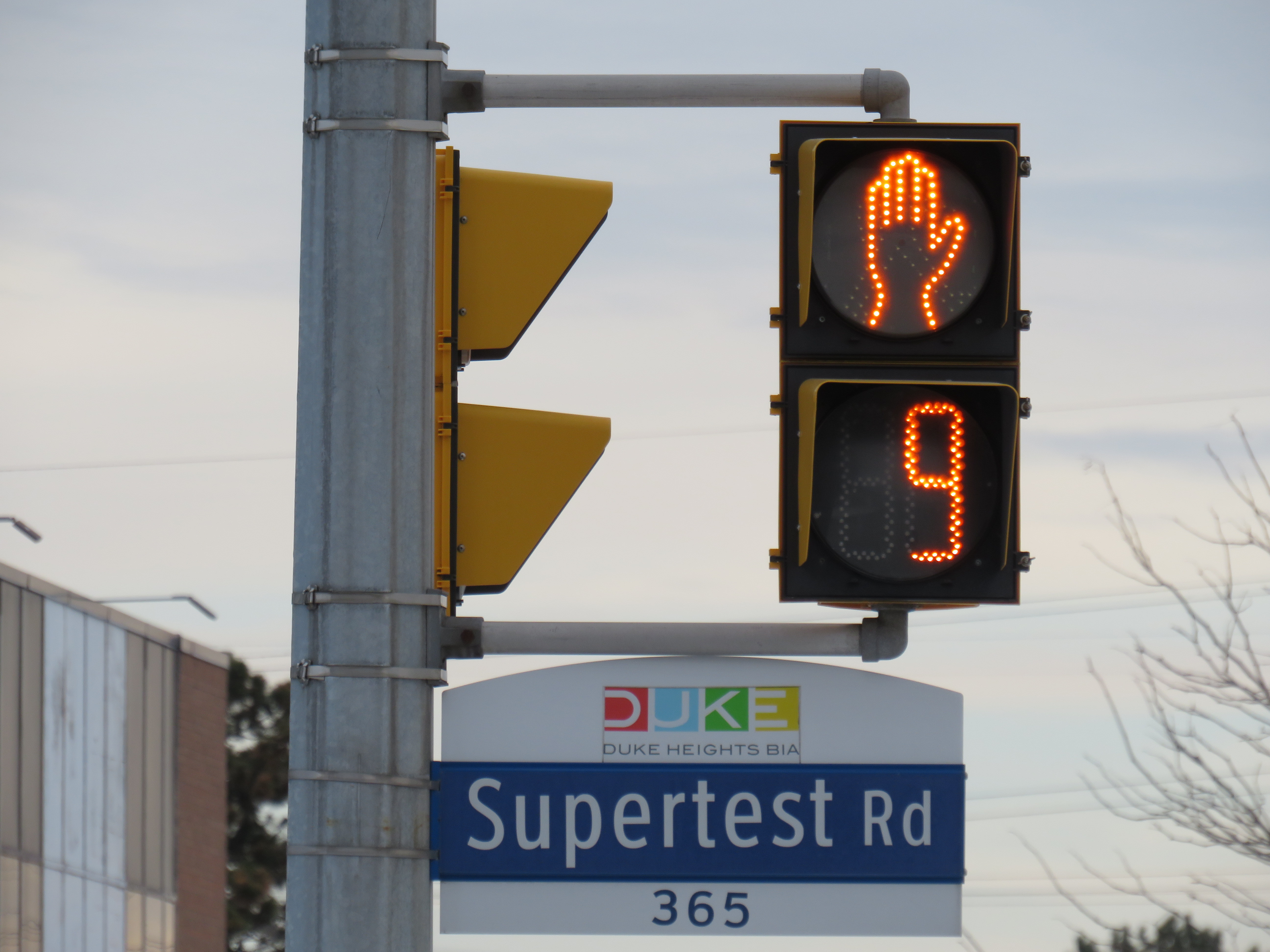
 The intersection of Alness and Supertest, with a makeshift memorial on the southwest corner
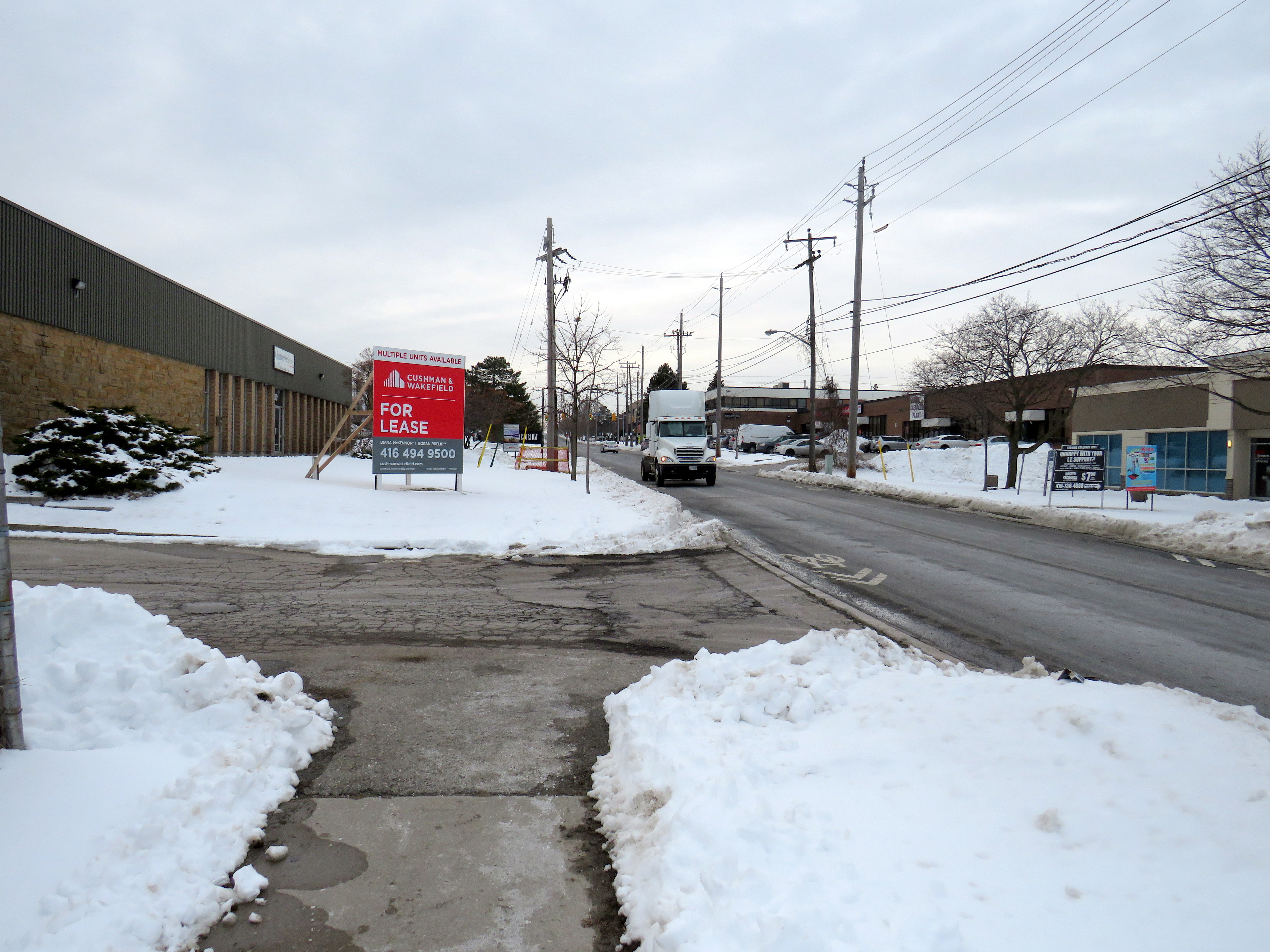 The only sidewalk on Supertest Road comes to an end halfway between Dufferin and Alness
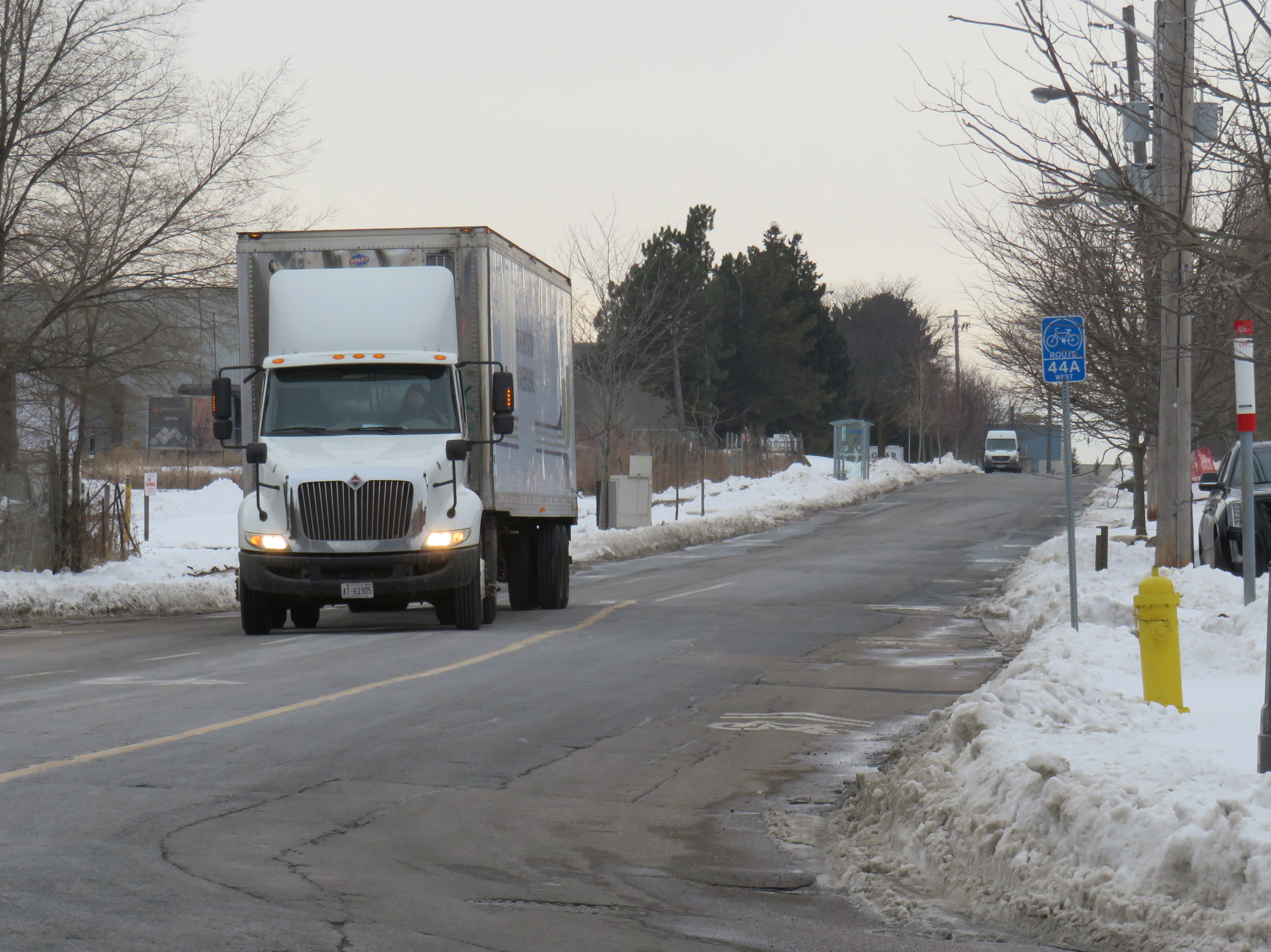 Looking west on Supertest Road, with the sharrow, TTC stop, and bike route sign on the right
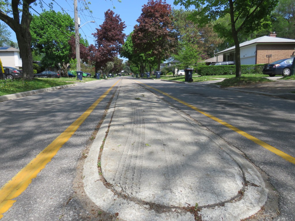
 Smashed pedestrian refuge island on McCowan Road
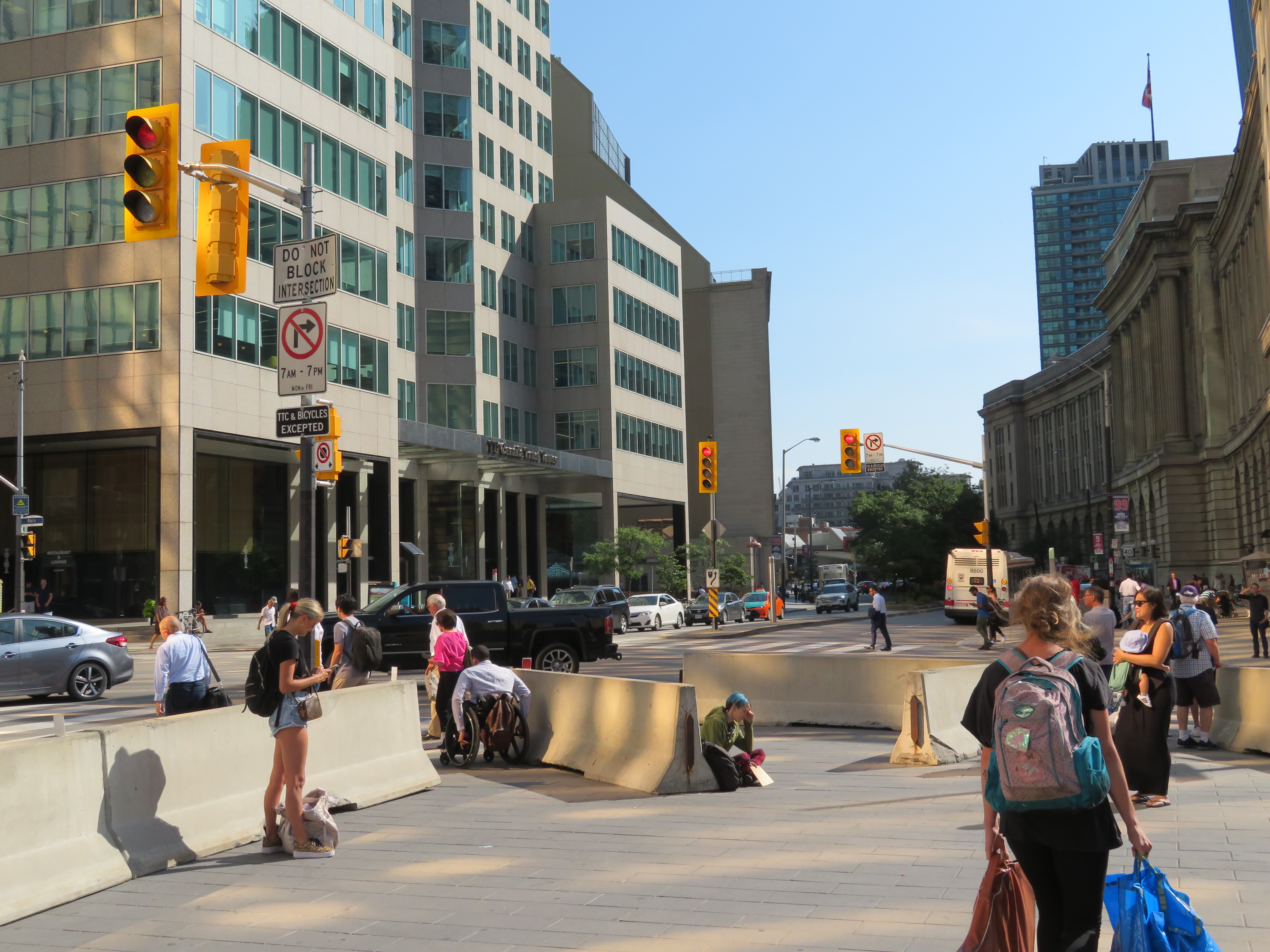 Jersey barriers at the southwest corner of Front and Bay Streets at Union Station