Last week in Torontoist, I wrote about the challenges of getting around on the TTC for passengers who rely on mobility devices, such as wheelchairs. Most of us never think about this problem unless we’re directly affected by the consequences of an inadequate system, as I was after a cycling injury in 2012.
But for TTC users with mobility disabilities (or even passengers with strollers, wheeled carts, or luggage), it’s an issue. While the bus system is (mostly) fully-accessible, the backlog in the delivery of new streetcars and the installation of elevators in subway stations leaves the system failing many of its riders. The alternative, Wheel-Trans, is also underfunded, inconvenient and useless for last-minute travel plans.
Here’s what the subway system looks like if you require the use of elevators to navigate the system:
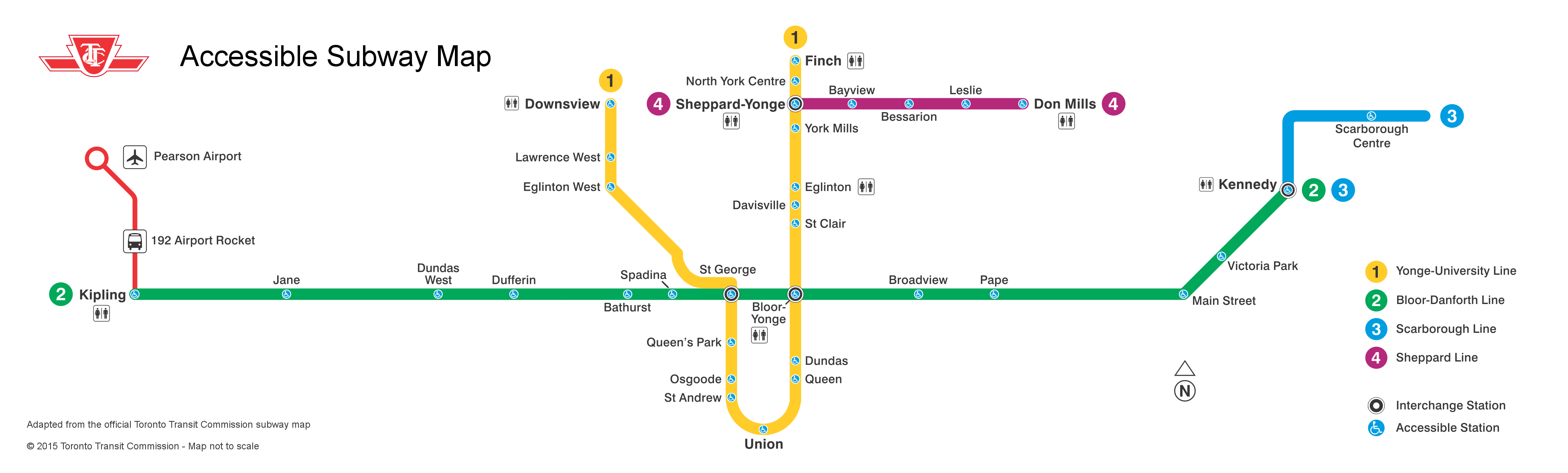
By 2016, only one more station — St. Clair West — will be equipped, by 2017, Wilson, Ossington, Coxwell, and Woodbine (and hopefully the Spadina Subway Extension to Vaughan Centre, with its six new fully-accessible stations, will open by then) will follow. But there’s not enough funding to make the entire system accessible by 2025, the deadline set by the Accessibility for Ontarians with Disabilities Act (AODA). Seventeen stations, including Islington and Warden, remain unfunded.
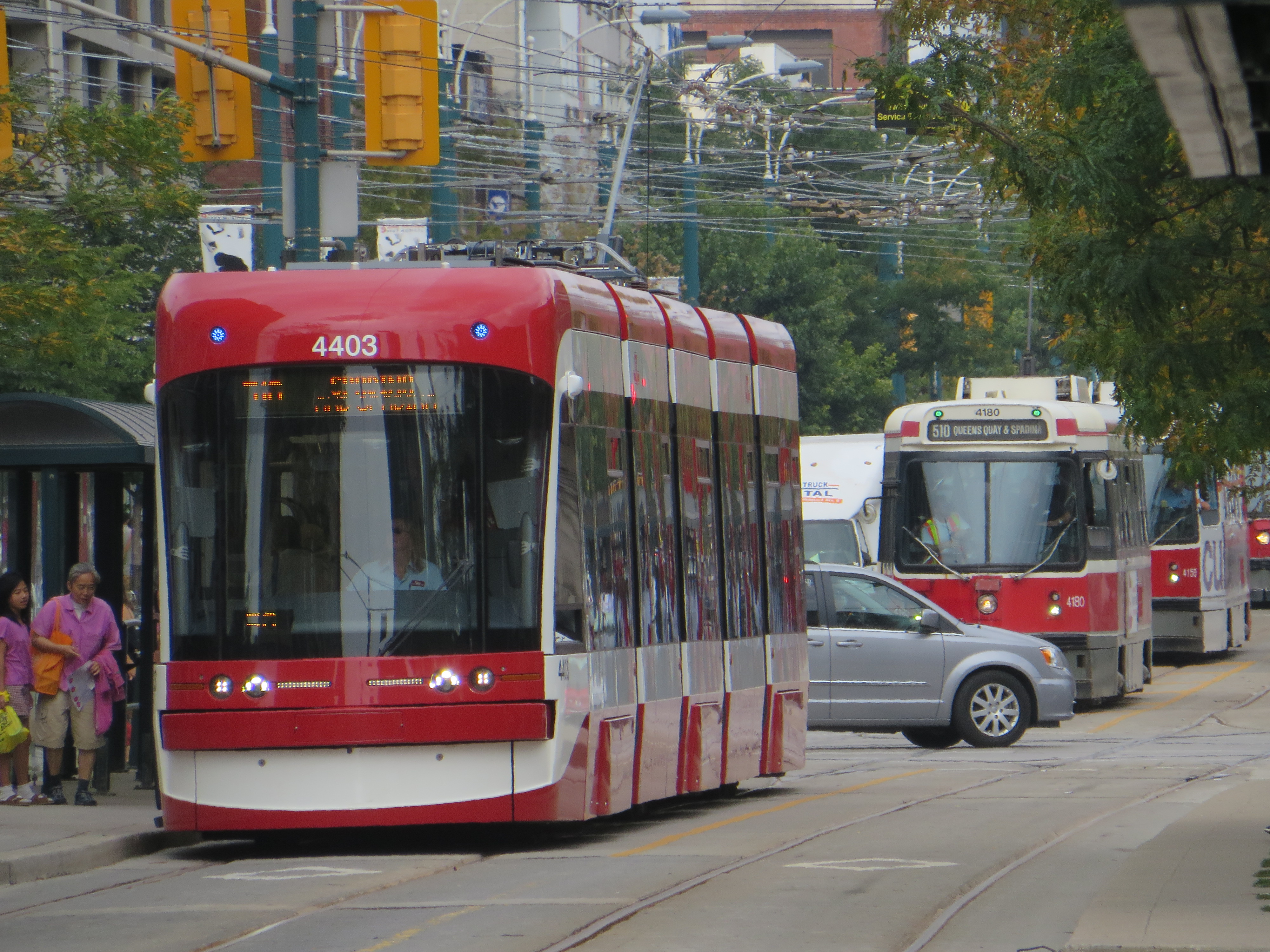
The entire bus fleet is accessible, though not all bus stops are (the TTC requires a solid, concrete or asphalt place to deploy the ramp or lift, and room for the passenger to board; some suburban stops without a bus pad, or narrow urban sidewalks make loading a passenger in a wheelchair difficult). The first four low-floor streetcars are operating on Spadina Avenue, 200 more are still to be delivered. By now, the Spadina, Bathurst and Harbourfront cars were to have been fully-equipped with the new trams.
In the meantime, the few bus routes that operate in the central core don’t have many accessible connections; east-west travel is particularly difficult. For example, the 47 Lansdowne bus is inaccessible from either subway station it services (Lansdowne and Yorkdale), and offers no barrier-free transfers south of Dupont Street. The map below shows this problem:

Elevators at Ossington would connect the subway with three accessible bus routes, including the 94 Wellesley, a useful east-west alternative. (The 94 serves four subway stations and enters three of them, not one is equipped with elevators.) Meanwhile, both Toronto Western and St. Joseph’s Hospitals are isolated from the accessible transit network.

One reply on “Mapping an accessible TTC”
I was very inspired by your accessibility map when you posted it last year, so I did one for the Montreal system. In comparison, Toronto is not too shabby. https://wayoftheeating.wordpress.com/2016/02/11/montreal-metro-accessibility/