Ontario’s first roads were trade routes established by First Nations, including the Toronto Carrying Place, which linked Lake Ontario, Lake Simcoe, and Lake Huron. These routes followed the topology and existing water courses, making navigation simple and avoiding steep hills. Many modern streets, such as Toronto’s Davenport Road, follow these old trails.
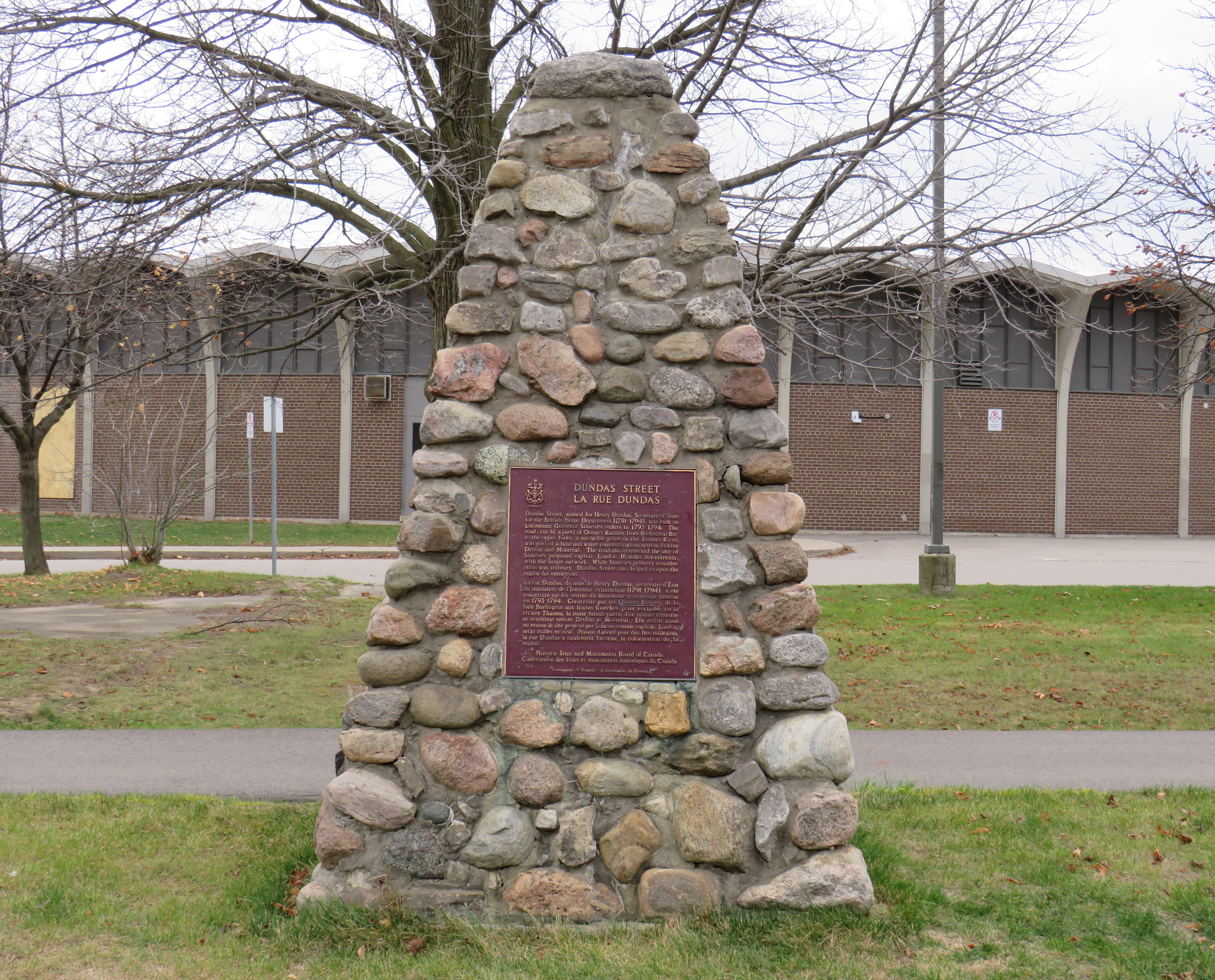
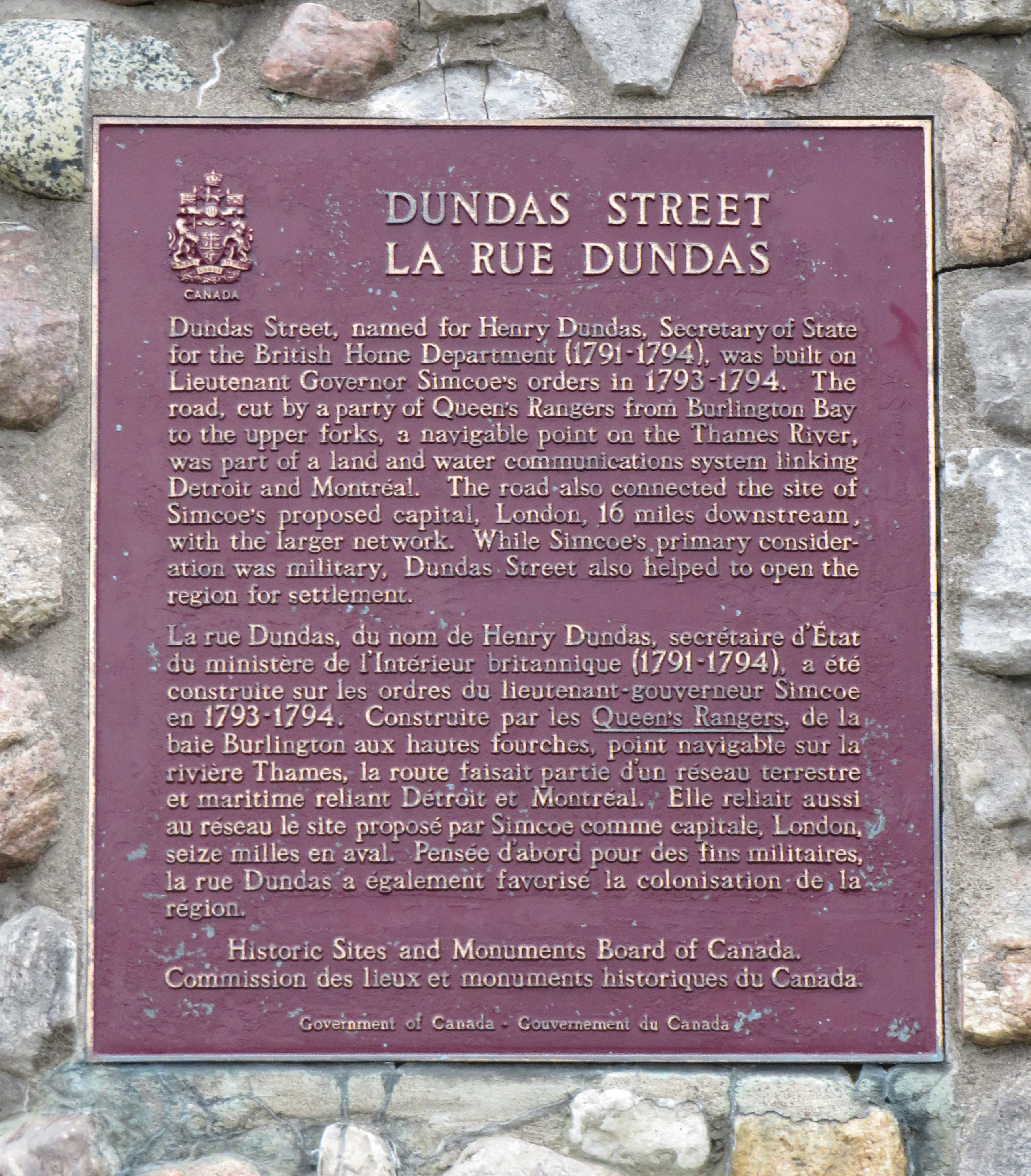
With the establishment of the British colony of Upper Canada, new roads were established that took straight lines, instead of following existing trails or the lay of the land. Governor John Graves Simcoe named two of these routes — Yonge Street and Dundas Street — after British officials. Though Yonge and Dundas Streets were established for military purposes, they soon became used for settlement.
Hurontario Street — a portmanteau of “Huron” and “Ontario” — was among the first of a new wave of roads laid out by colonial officials, established for settlement purposes. These colonization roads were built across southwestern and south-central Ontario and became the basis for the concession land grant system that forms the grid of country roads and arterial avenues throughout Southern Ontario.
Other roads surveyed and built in this period included Simcoe Street, which connected Lake Ontario (at Oshawa) with Lake Scugog (at today’s Port Perry); Brock Road, which ran between Hamilton Harbour and Guelph with branches towards Lake Huron near modern-day Port Elgin (Elora Road) and towards Owen Sound (Garafraxa Road). Huron Road led west from Guelph towards Goderich through lands held by the Canada Company.
Hurontario Street followed a nearly straight line north from Lake Ontario, perpendicular to the shoreline, with only a slight bend near present-day Orangeville to reach Georgian Bay at a perpendicular angle. Together with the Toronto-Sydenham Road, which branched off northwest towards Owen Sound, it quickly became an important route.
Taverns, villages, and towns were established along the way, including Cooksville, Buffy’s Corners (which incorporated as the Village of Brampton in 1853) and Collingwood. Collingwood proved to be an excellent harbour and became famous for its shipbuilding industry.
But Hurontario’s straight trajectory was a problem. For the first 57 kilometres, the straight line was sufficient, as it followed a mostly flat route through present-day Mississauga and Brampton and climbed the Niagara Escarpment on a relatively gentle incline in Caledon. But through Dufferin and Simcoe Counties, the surveyed route went up and down several steep hills on the edge of the escarpment, including Hockley Valley and Boyne Valley. The final descent down the Niagara Escarpment towards Collingwood was very steep.
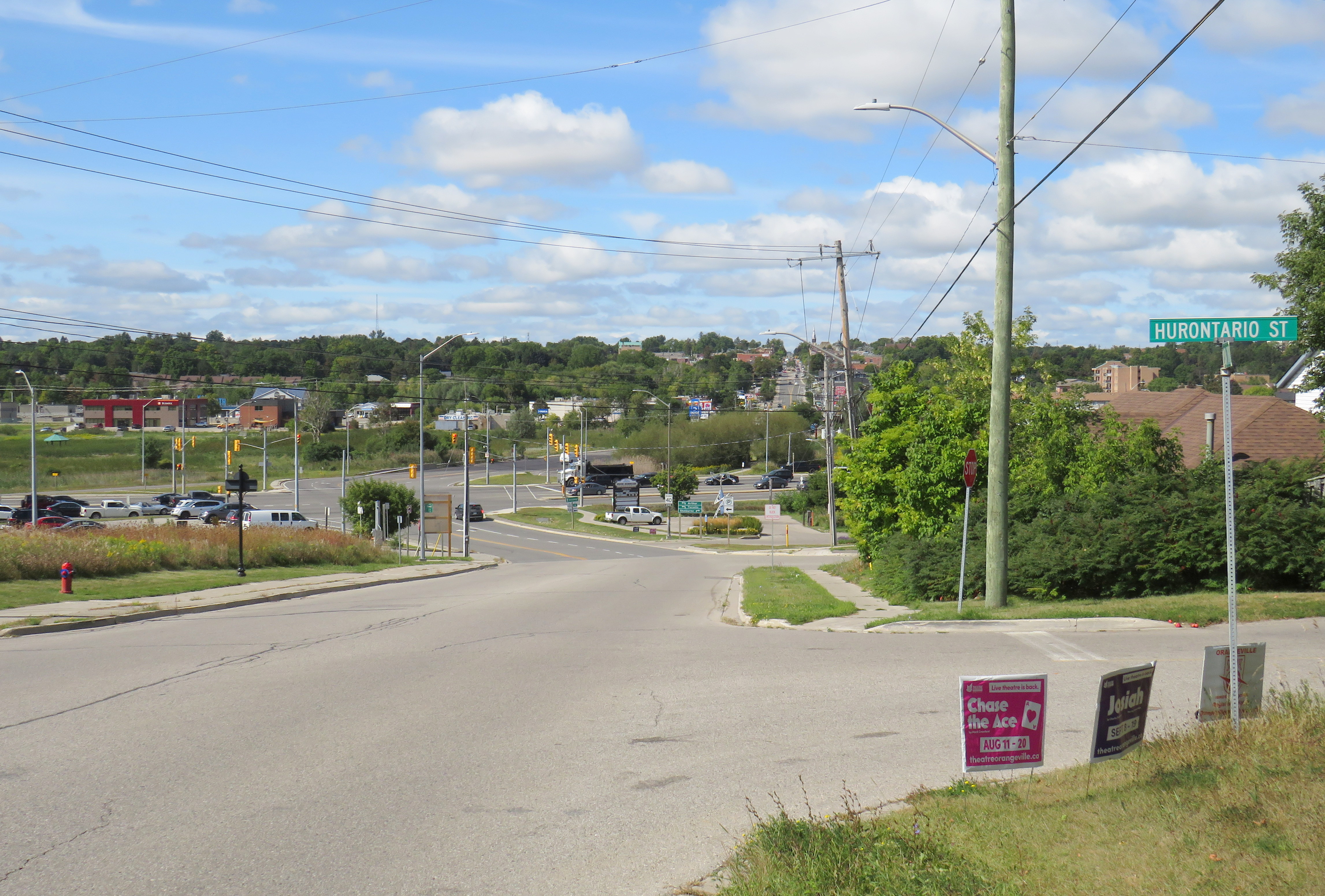
Early settlers were granted low-cost or free land grants in exchange for clearing and improving their land and maintaining the new settlement roads being drawn across southern Ontario. They rerouted troublesome segments of the surveyed roadways and either abandoned the surveyed road allotments or designated new survey lines for through traffic. In Dufferin County, traffic switched to the first concession line to the west, which offered an easier path towards Owen Sound. The Town of Orangeville was established where the route deviated.
Like many early roads, Hurontario Street’s importance declined with the growing network of railways in Ontario. In 1855, the Ontario, Simcoe and Huron Railway reached Collingwood and the Great Western Railway opened between Toronto and Hamilton. The next year, the Grand Truck Railway opened its line through Brampton; the Toronto, Grey and Bruce Railway (TG&B) reached Orangeville 15 years later. Soon the TG&B built all the way to Owen Sound, closely following the Toronto-Sydenham Road.
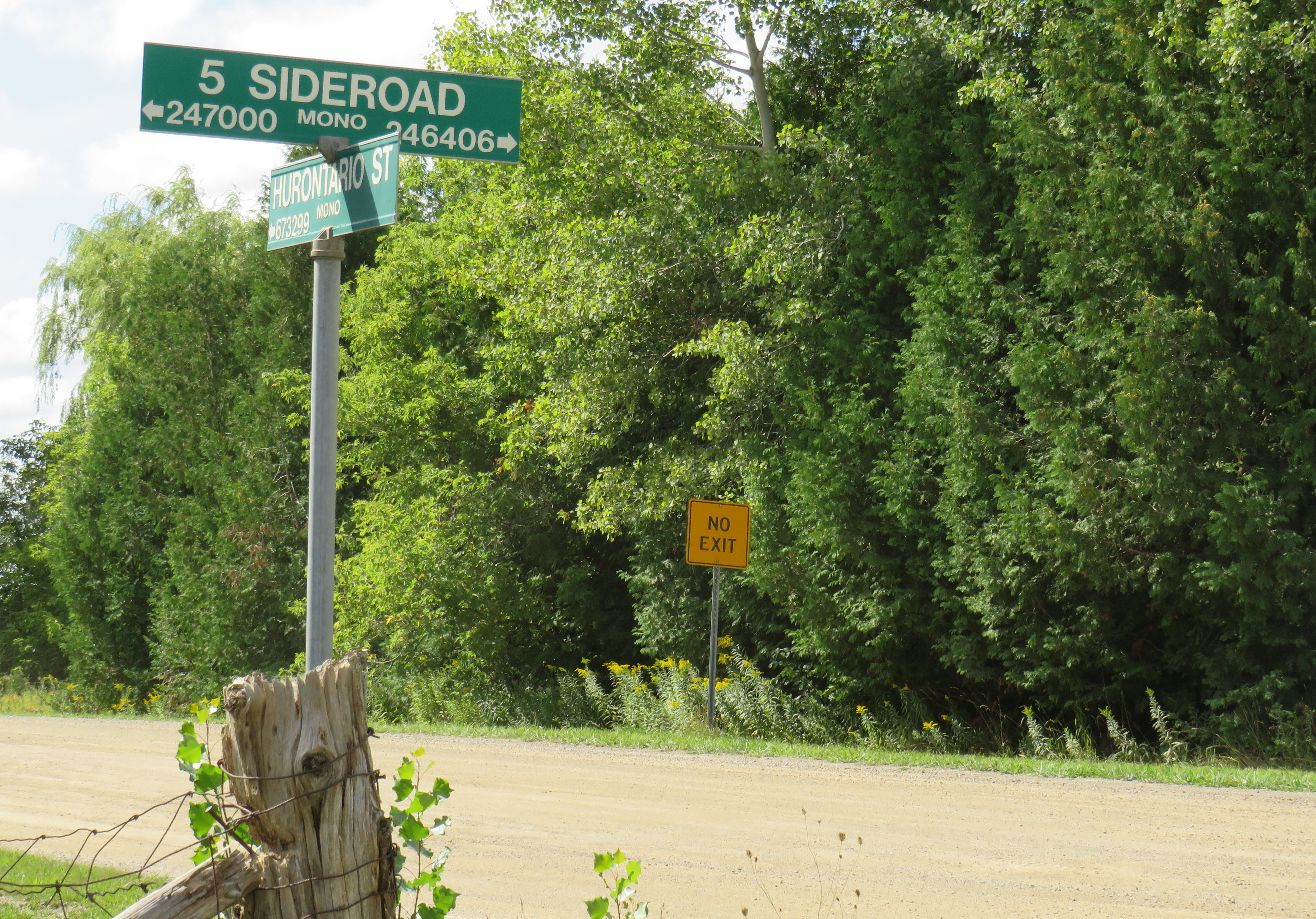
With the rise of motor vehicles in the 1920s, the Province of Ontario began establishing a highway network; the historical settlement roads became the foundation of this new system of roadways. Highway 10, one of the first 16 routes established by the province, followed the Toronto-Sydenham Road and Hurontario Street between Owen Sound and Port Credit, though it used the well-travelled First Line West through Mono Township, rather than the old, partially abandoned Hurontario Street alignment.
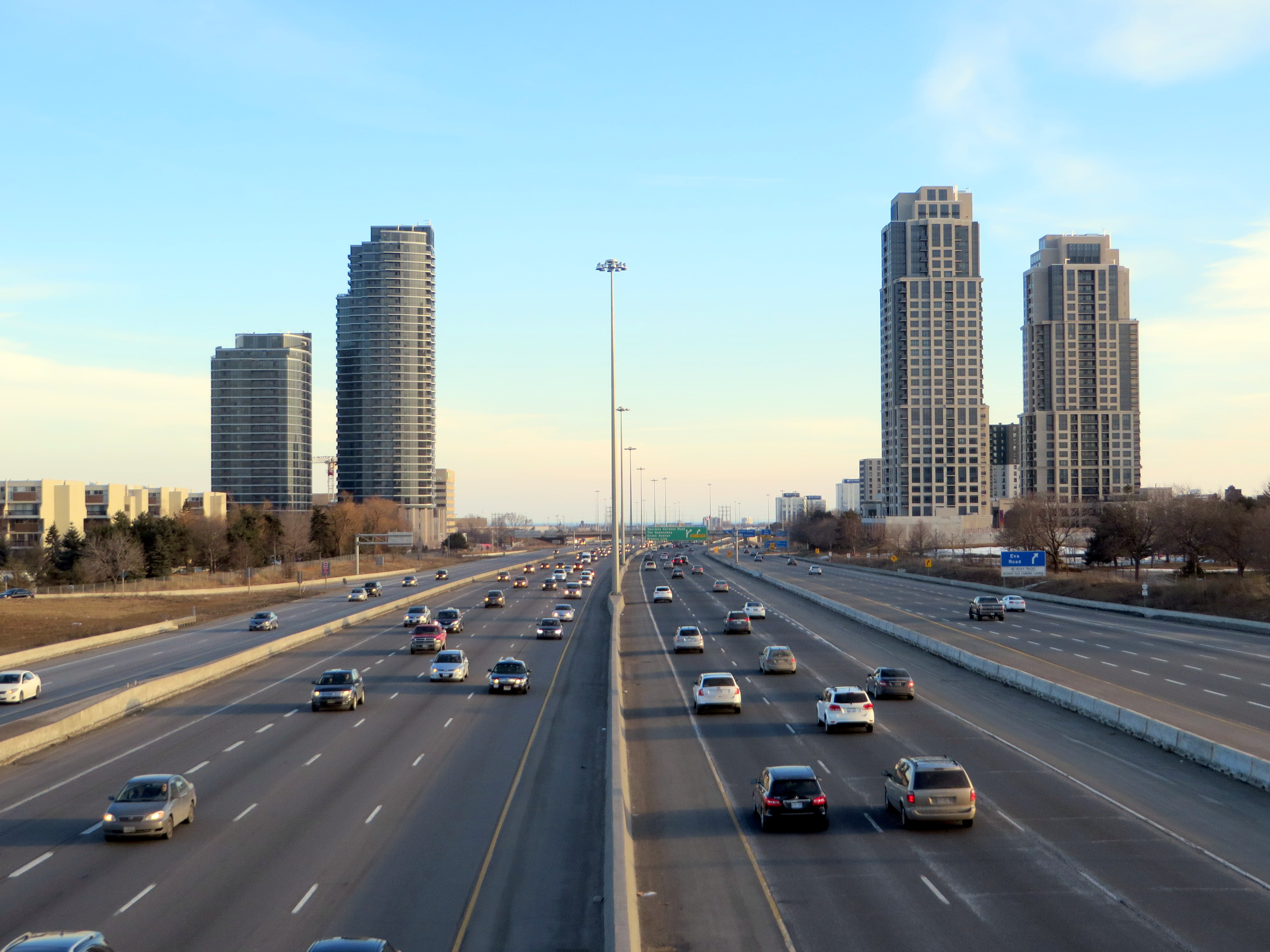
Highway 10 increased in importance through the 20th century, especially when Toronto’s postwar growth reached Mississauga and Brampton. Highway 410 was built to relieve congestion on Highway 10 and other nearby routes; by 2019, the new highway connected with the old route north of Brampton, and Highway 10 through Mississauga and Brampton was no more, once-again simply known as Hurontario Street except in the older part of Brampton, where it remains Main Street.
Meanwhile, the railways have fallen to the modern highway. The old TG&B, later acquired by Canadian Pacific, abandoned the Orangeville-Owen Sound line and its connecting branches by 1995. In 2021, the last train from Orangeville made its departure.
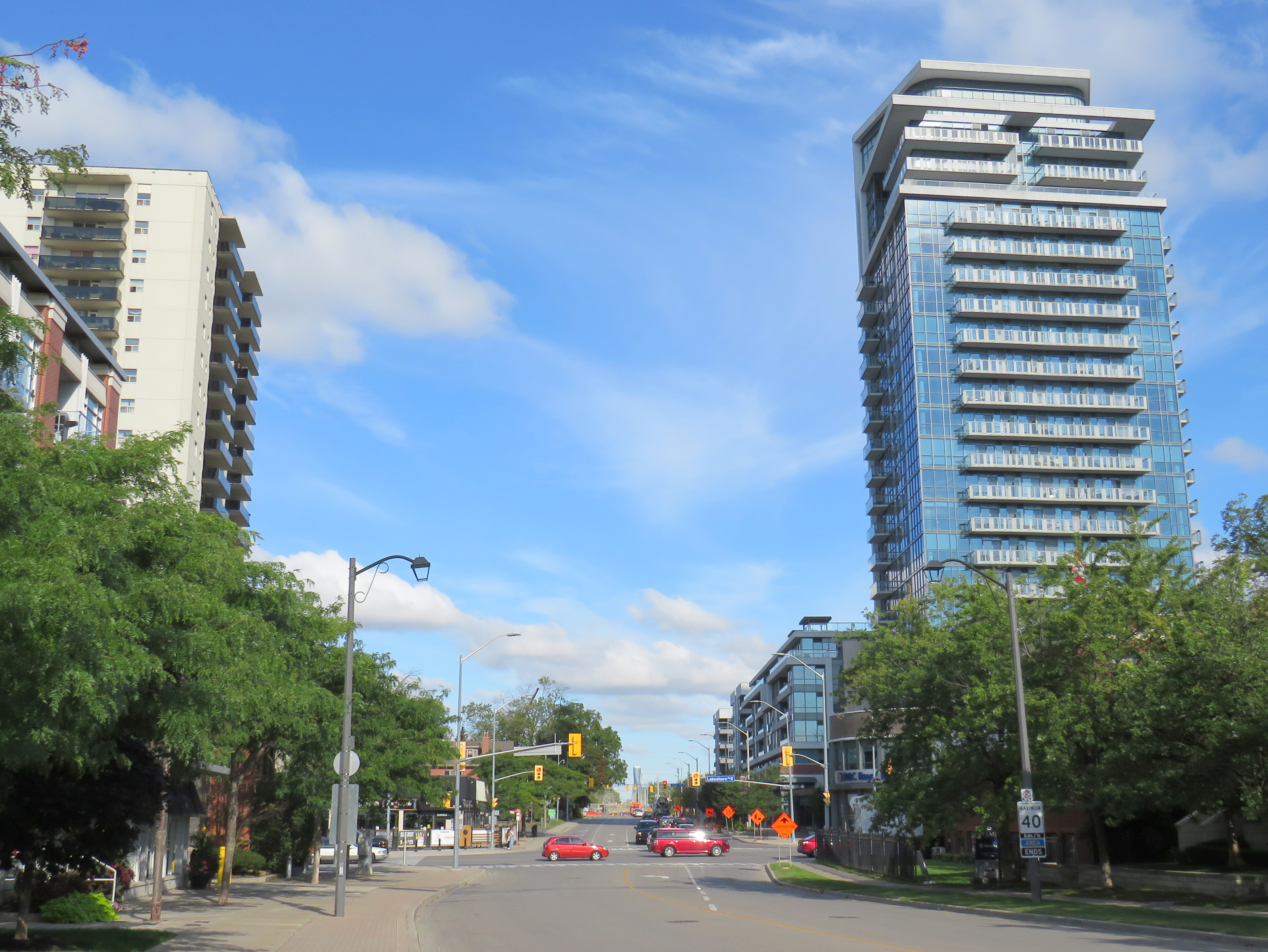
As Mississauga and Brampton continue to grow, a new light rail transit line is being built on Hurontario Street. In a deviation from Metrolinx norms, instead of honouring the road on which this line is built, the PC-led government decided to name the LRT after Hazel McCallion, the former Mississauga mayor who, despite leaving some challenging legacies, has had many publicly funded spaces named for her. Time will tell whether residents will adopt the new name or, instead, favour a name that reflects the historical and contemporary importance of Hurontario Street. My hope is that transit users will continue to use the 200-year old name they’re most familiar with.
What does First Line West or 2nd Line EHS mean?
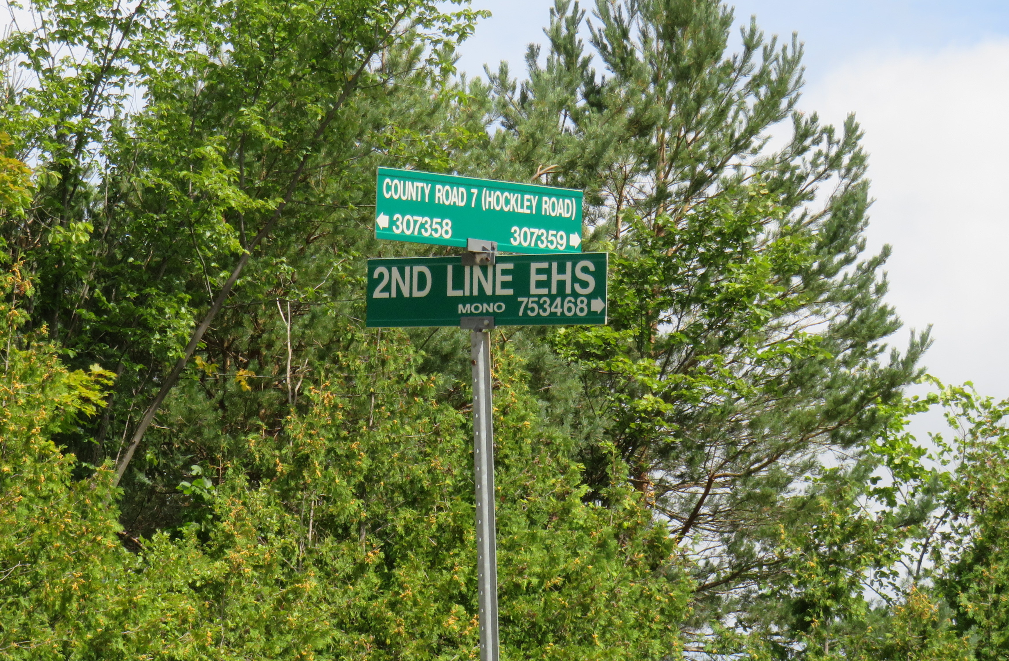
In Mono Township, the concession lines are numbered sequentially from how far east or west they are from Hurontario Street, which was the original basis for the land surveys. For example, 2nd Line EHS can be found two roads east of Hurontario Street. Highway 10 follows the first line west of Hurontario Street, a much gentler route than the original surveyed line. In the north half of Toronto Township (now the City of Mississauga), and in Chinguacousy and Caledon Townships (now Brampton and Caledon), these roads were similarly numbered before acquiring names. McLaughlin Road used to be known as First Line West, while Dixie Road used to go by Third Line East.
As the centre line of several townships, Hurontario Street was often known as Centre Road, especially in Toronto Township (Mississauga) and Mulmur Township. In Mississauga, where Highway 10, Hurontario Street and Centre Road were once used interchangeably, it now goes exclusively by Hurontario Street.
Hurontario Street and other settlement roads
As mentioned above, Hurontario Street was one of many early settlement and colonization roads established across the new colony, and later by the province. The first few roads, including Yonge and Dundas Streets, were surveyed and cleared by the colonial military as defensive routes first, but they quickly became important settlement roads. Roads such as Hurontario Street, established in the 1820s, had little military purpose, but became the basis for land surveys, which led to the establishment of townships and counties. Brock Road, Elora Road, and Durham Road are examples of these colonial settlement roads.
In some cases, private companies or individuals who were given large land grants established their own roads to attract settlers and trade; Huron Road and Talbot Road are examples of these.
Starting in the 1870s, the provincial government built new roads into less hospitable lands on the Canadian Shield, hoping to draw settlement further north as the supply of quality farming land was exhausted. In some cases, farmers were able to make a go of the marginal farmlands in northern Victoria, Hastings, and Lanark Counties, in other cases, the roads quickly fell into disuse. The Muskoka Road, built to Lake Nipissing, was a rare success: though there was little viable farmland along the route, it helped open up Northern Ontario for resource exploitation, tourism, and settlement. The Muskoka Road was upgraded in the 1920s and 1930s as the Ferguson Highway, before becoming part of Highway 11.
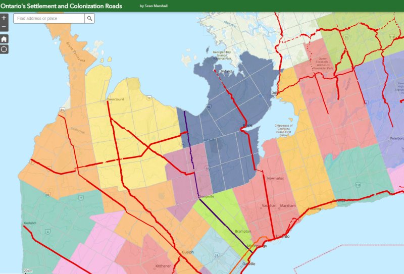
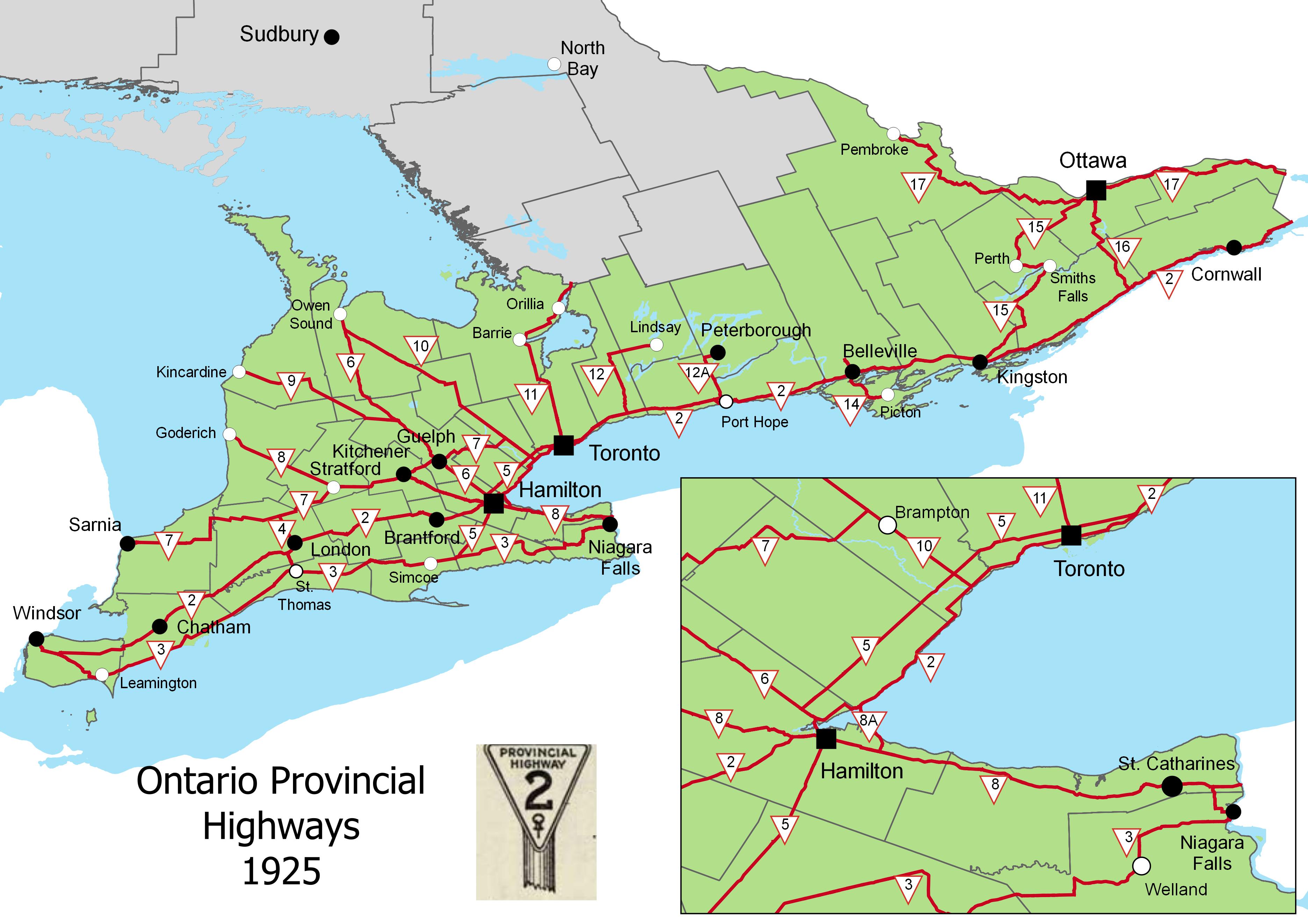
The map below shows the routes of Hurontario Street and many other settlement and colonization roads in Southern and Central Ontario, along with the township system that followed these corridors.


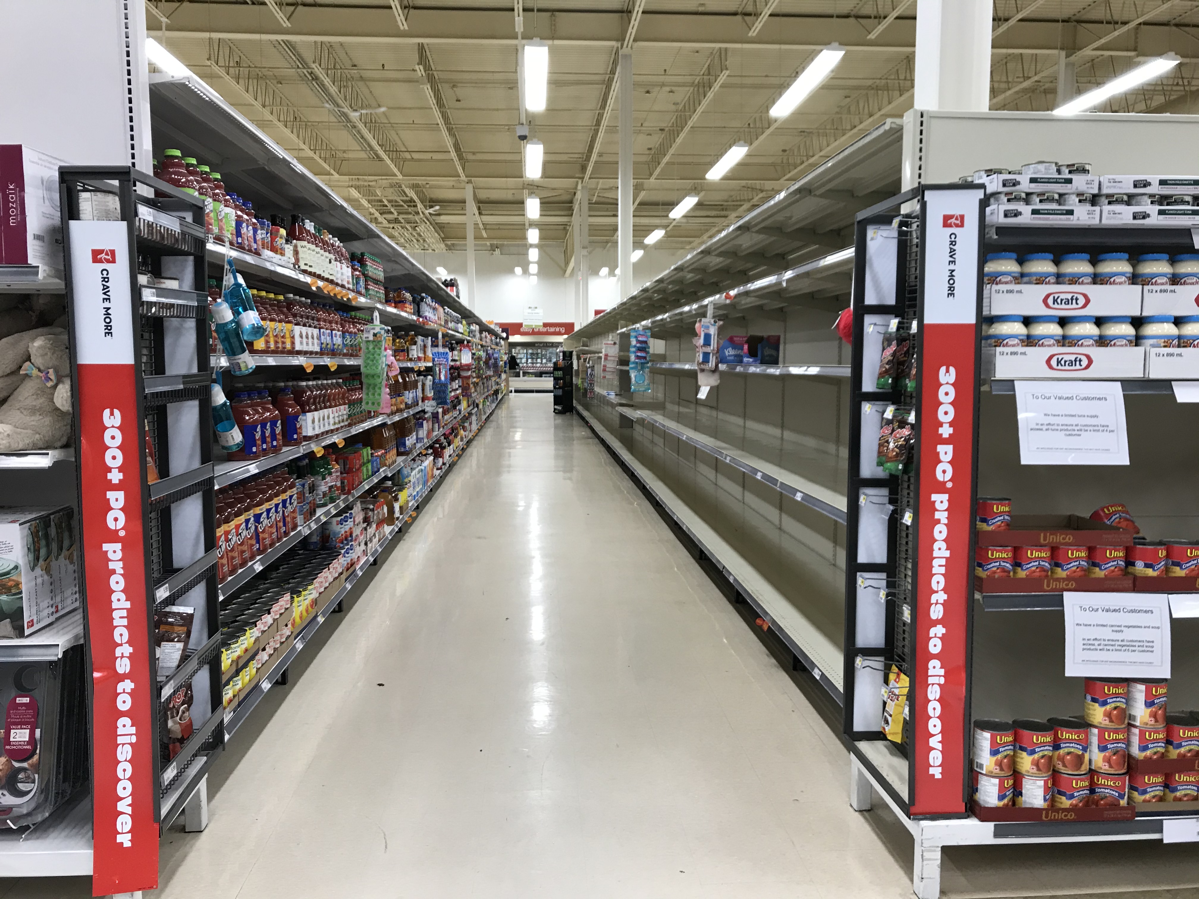 Empty shelves at the supermarket
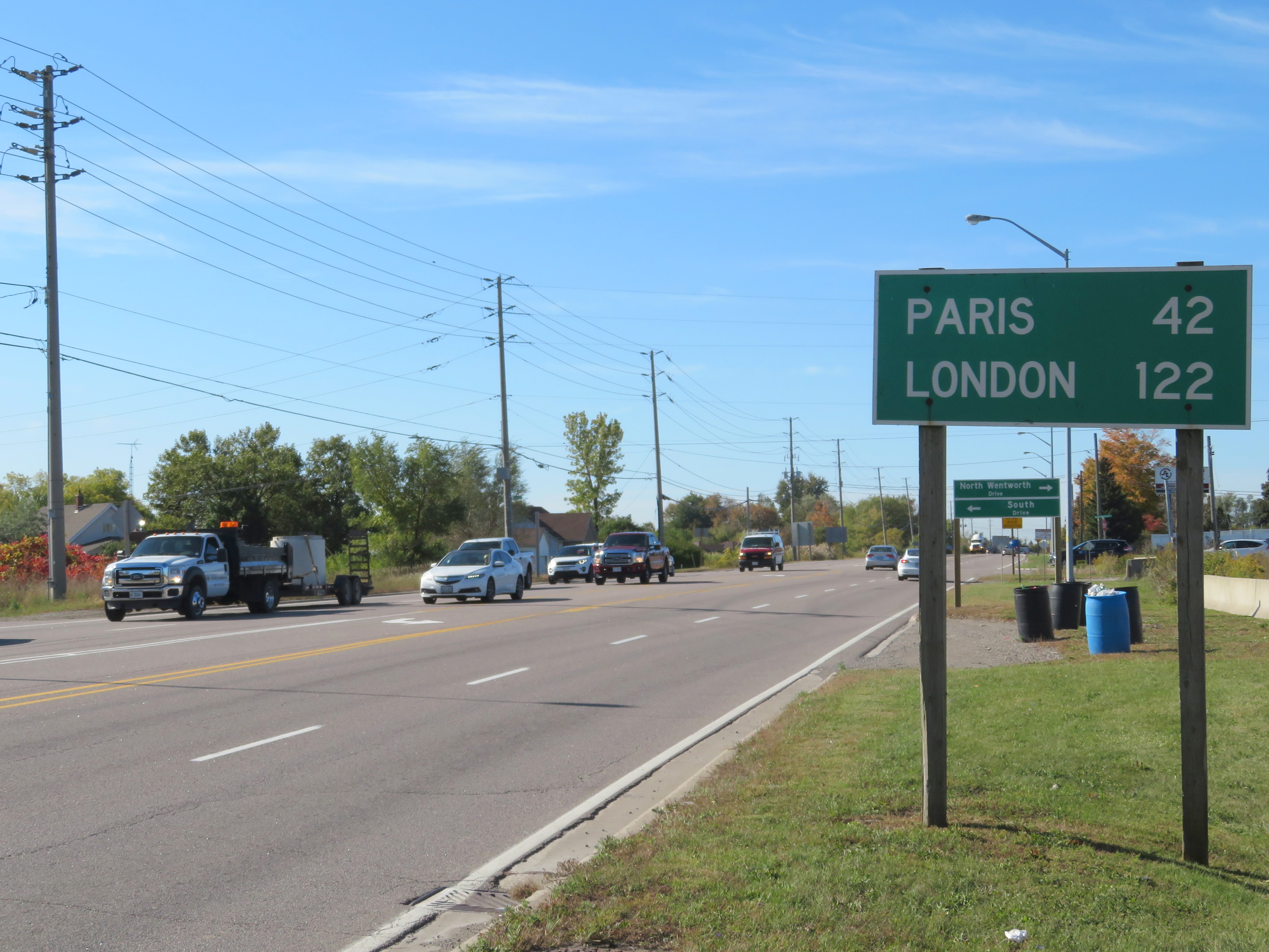 Distance Sign on Highway 5, Clappison’s Corners
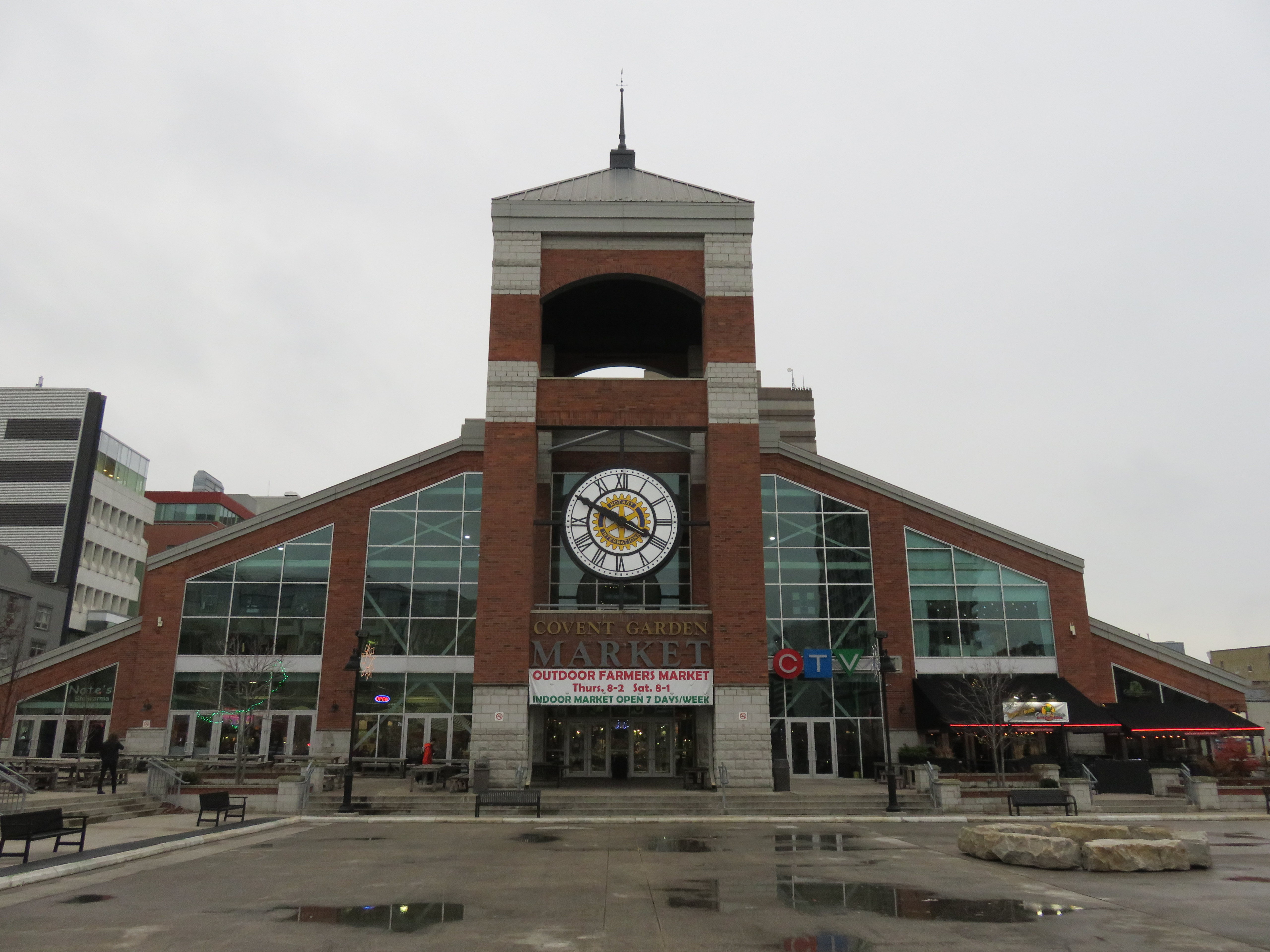 The other Covent Garden Market, London
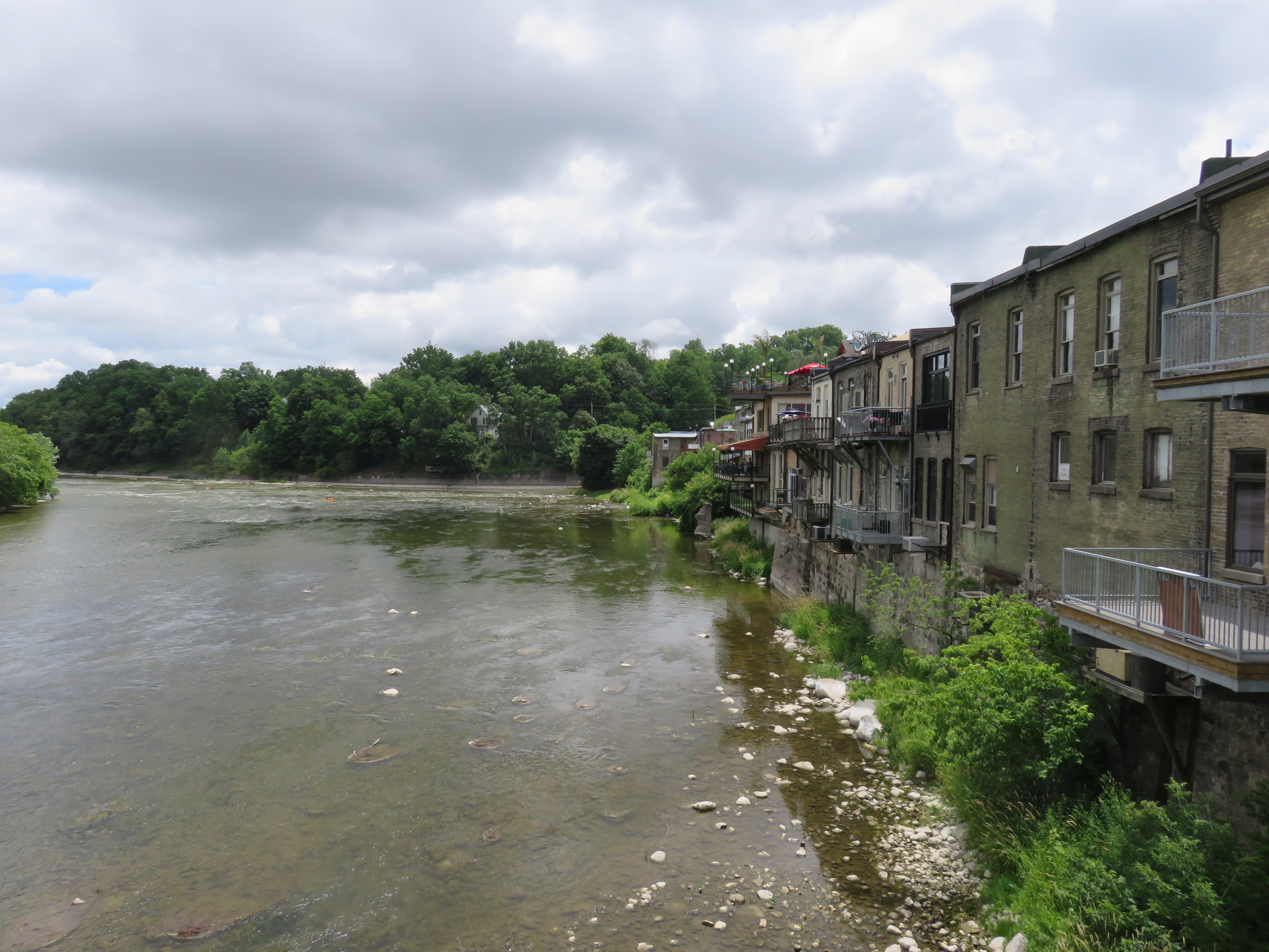 Paris, Ontario’s main street backs onto the Grand River
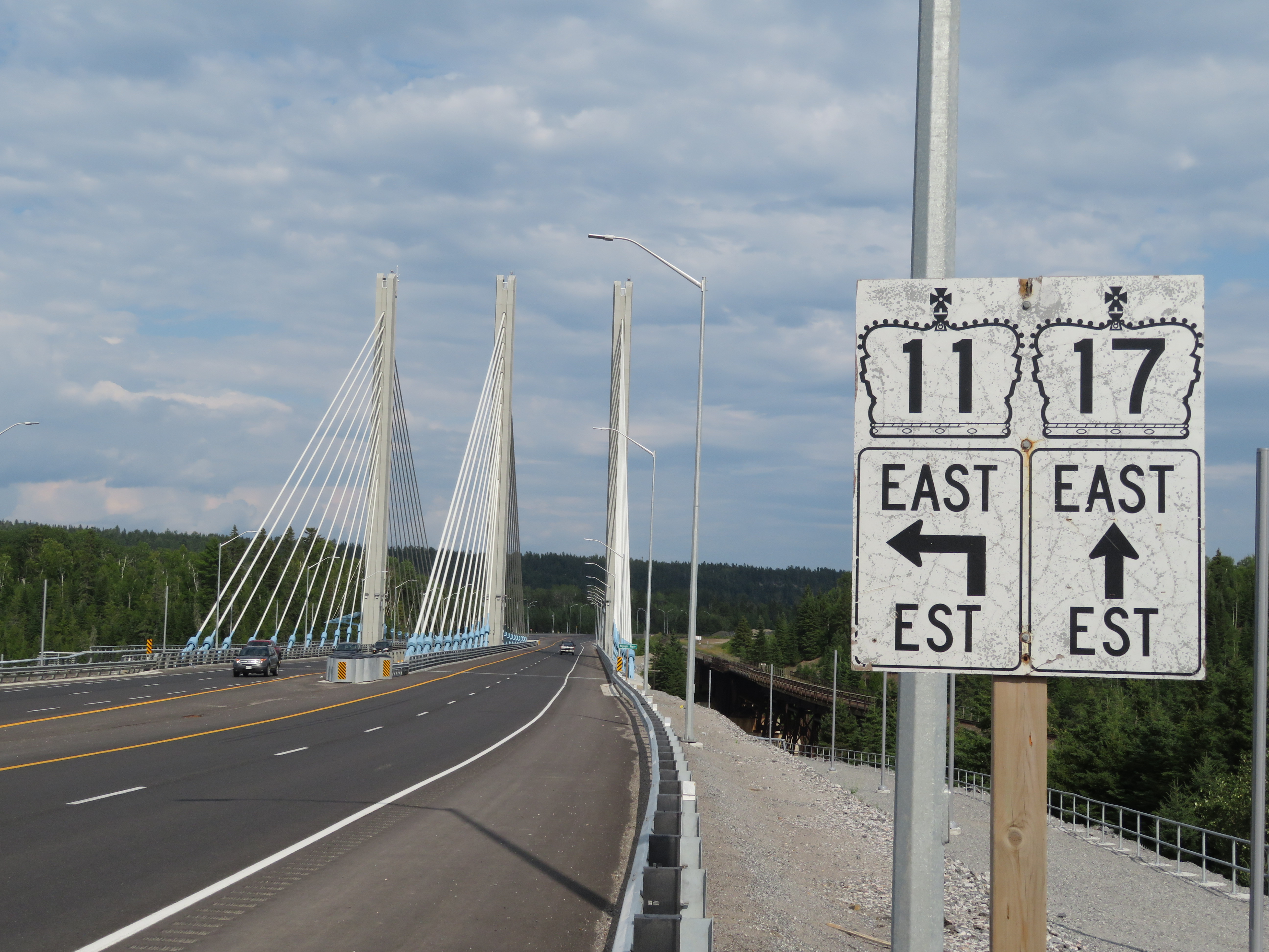
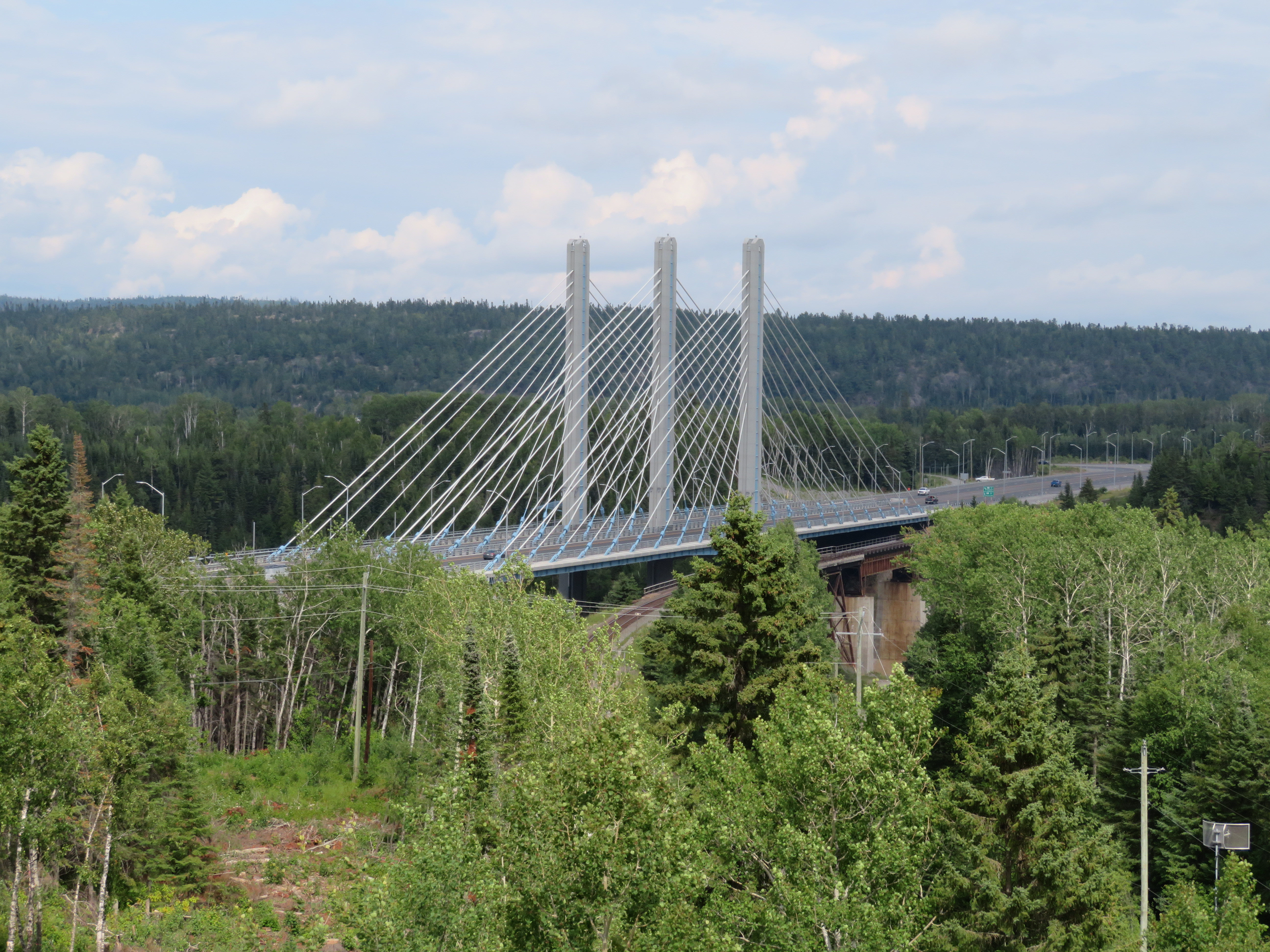 Nipigon River Bridge, August 2019