Tag: TVO

  • The end of the line for the Orangeville-Brampton Railway

    The end of the line for the Orangeville-Brampton Railway

    The current end of track of the once-important Owen Sound Subdivision, on the outskirts of Orangeville. Beyond, a new paved trail occupies the former right-of-way.

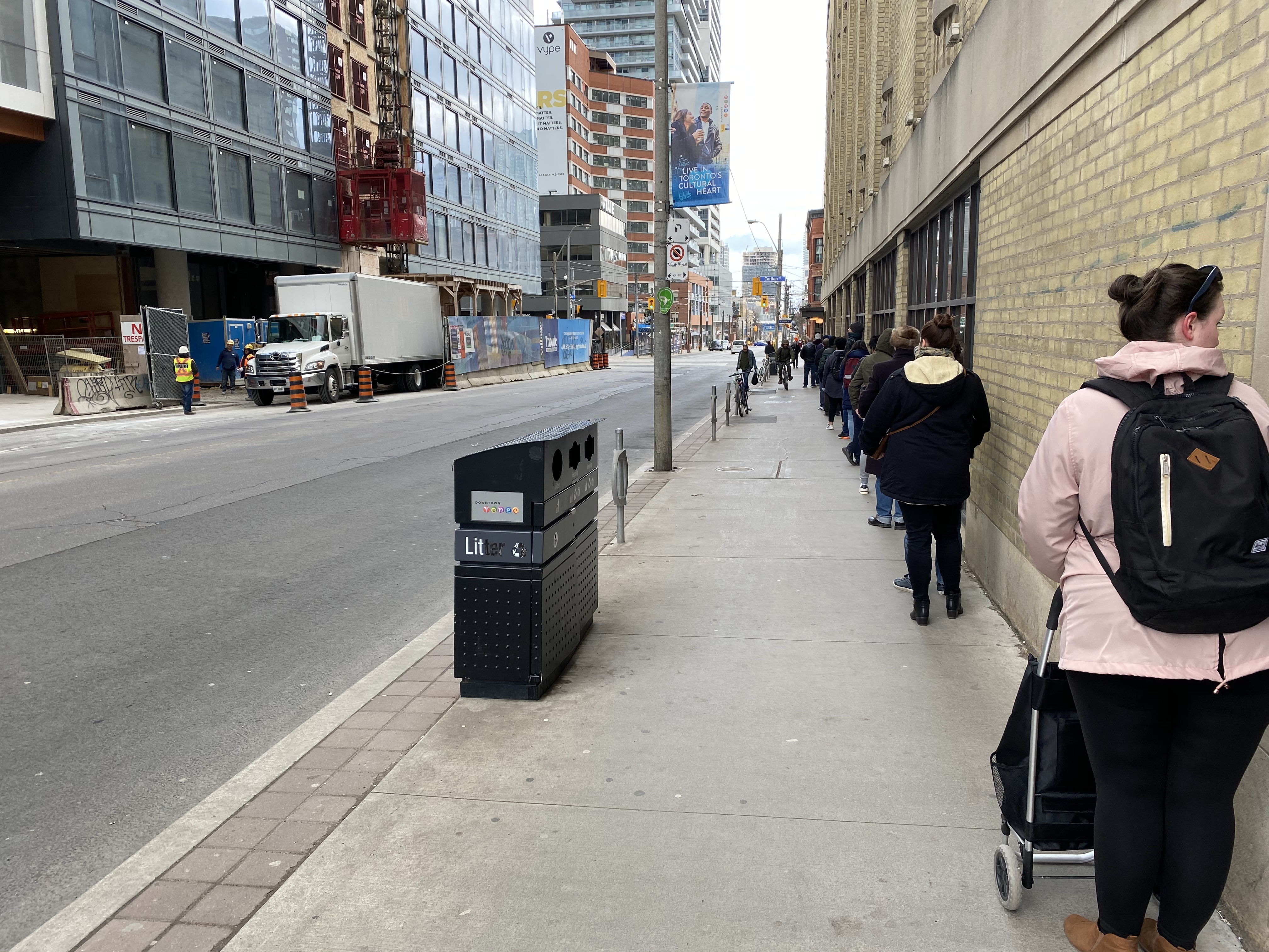
    On Townline Road on the south end of Orangeville, across the street from the old railway yard and station grounds, two plaques stand, telling the history of the doomed railway next to them.

    The first plaque, a faded provincial marker, commemorates the Toronto, Grey and Bruce Railway, which arrived in Orangeville in 1871 and completed to Owen Sound in 1873. The TG&B was combined with the rival Credit Valley Railway by the Canadian Pacific Railway, and Orangeville became the headquarters of a network of branch lines known as the CP Bruce Division. Passenger service to Owen Sound via Brampton and Orangeville continued until 1970.

    The second marker, installed by the Town of Orangeville, commemorates the municipal takeover of the remnants of the Bruce Division, after CP abandoned all track west and north of Orangeville in the 1980s and 1990s. The plaque proudly boasts of a “successful passenger tourist operation” and how the new short line “enhanced opportunities for the long-term economic development of the region.”

    The municipal plaque is sadly out of date. The Credit Valley Explorer tour train last operated in early 2018, and the Town of Orangeville lost interest in operating the railway, which was costing the municipality $450,000 a year. The last freight train departed Orangeville on Friday, December 17, 2021.

    Together with Dr. Brian Doucet, Canada Research Chair in Urban Change and Social Inclusion at the University of Waterloo, I toured the line in its waning days. At TVO.org, Doucet and I argue that the corridor is worth preserving, even if the Town of Orangeville is no longer interested in paying for the railway. We note how the province is looking to build a new highway through the very same lands that the dying railway cuts across.

    Additional photographs and videos of the once-proud Orangeville and Brampton Railway can be found below.

    (more…)
  • Why Durham Region is going the microtransit route during the pandemic – and what it means for other transit systems

    Why Durham Region is going the microtransit route during the pandemic – and what it means for other transit systems

    Durham Region Transit and GO Transit buses meeting at Durham College/Ontario Tech University

    Previously on this site, I expressed my skepticism about Durham Region’s commitment to improving transit service. But in the five years since, the region east of Toronto has done exactly that by creating a route grid along major corridors, fusing together a network from four separate municipal systems.

    While the ongoing COVID-19 pandemic has seen transit ridership plummet across the province, followed by service cuts to match the reduced demand, Durham is doing two interesting things: firstly, it is adding additional service on its main corridors, and it is replacing twenty-five low ridership routes with on-demand transit.

    In my latest article for TVO.org, I take a closer look at Durham Region Transit’s response to shifting ridership during a pandemic and the benefits and pitfalls of microtransit as a potential solution.

  • Room to share: How cities can make physical distancing work

    Room to share: How cities can make physical distancing work

    IMG_8405
    Blackfriars Bridge open to pedestrians and cyclists in London, Ontario

    For my latest TVO article, I spoke with Councillor Shawn Menard in Ottawa, Councillor Rowena Santos in Brampton, and Ryerson University epidemiologist Anne Harris about how cities in Ontario are reallocating road space for pedestrians and cyclists during the ongoing COVID-19 pandemic, or why they may be hesitant to do so.

    In Brampton, five kilometres of new bike lanes, proposed in that city’s new transportation plan, were quickly approved as part of its response to COVID-19. This benefits both pedestrians and cyclists by reducing conflicts on sidewalks, reducing congestion on city paths, and recognizing that cycling is an increasingly important mode of transportation.

    IMG_8499-001
    Cyclists on Howden Boulevard, Brampton

    In Ottawa, despite resistance from the the mayor and council, Shawn Menard, who represents an urban ward just south of Parliament Hill, was able to temporarily close two lanes of traffic on a narrow bridge on a major retail street, and worked with the National Capital Commission to re-allocate a section of parkway for active transportation.

    Meanwhile in Toronto, the mayor and medical officer of health were resistant to increasing calls for sidewalk expansions in congested urban areas, including where queues formed to enter grocery stores, pharmacies, hardware stores, and LCBO outlets.

    This was one of my favourite articles I have written so far. 


    Loblaws queue on Church Street
    Queue on Church Street at Carlton to enter Loblaws supermarket

    With Walk Toronto, I have been involved with pushing the City of Toronto to take action, especially in pinch points where store queues, construction barriers, and other obstructions have made it difficult — if not impossible — to safely practice physical distancing when walking or cycling for essential purposes, or even getting a little bit of fresh air or light exercise in dense urban areas.

    The good news is that ten problem areas — including the intersection of Carlton and Church — have finally been identified for curb lane closures, with potentially more on the way. This is a timid first step, made after weeks of advocacy, but it is welcome.

  • One hundred years of Ontario’s provincial highways

    One hundred years of Ontario’s provincial highways

    IMG_2956

    On February 26, 1920, Ontario’s provincial highway network was born. That year, 16 highways were established across southern Ontario, between the Ottawa and Detroit Rivers. These highways, previously maintained by townships and counties, connected the province’s largest cities and provided important links to Quebec and the United States.

    In 1925, these highways were assigned numbers 2 through 17, in rough order from west to east. There was no Highway 13; instead, the Port Hope-Peterborough Highway was assigned Route 12A. Highway 2, alternatively known as the Trans-Provincial Highway, extended from Windsor to the west to the Quebec border in the east, continuing eastwards as Quebec Highway 2. (That province renumbered its entire highway system in the 1960s and 1970s.) Meanwhile, Highway 15, connecting Kingston and Ottawa, took a deviating “S” shaped route via Perth. Highway 7 only went as far east as Brampton. While the province used triangular highway markers at the time, in 1930, they were renamed “King’s Highways” and assigned crowned highway shields still in use today.

    The map below illustrates the highway system at the time.

    1920OntarioOntario Provincial Highways, 1925 (click for larger version)

    Several of Ontario’s first highways no longer exist. Highway 12A was later renumbered to Highway 28; that first section was later downloaded to Northumberland and Peterborough Counties. The first section of Highway 14, which originally ran between Foxboro and Picton via Belleville, was later integrated with the longer and more important Highway 62. The short stub of Highway 14 between Foxboro and Marmora was also downloaded in the 1990s.

    But Highway 11, formed out of Yonge Street and the Barrie-Muskoka Highway, eventually became the province’s longest and one of its most famous highways (even if it never was the world’s longest street). To mark the occasion, I wrote about Highway 11’s history for TVO. 

    If you’re interested in learning more about Ontario’s highways, nearly 100 years of digitized provincial road maps are available on the Archives of Ontario website. I also suggest visiting The King’s Highway website, which contains histories and photographs for most of Ontario’s highways.

  • The north needs roads

    IMG_2905.JPG
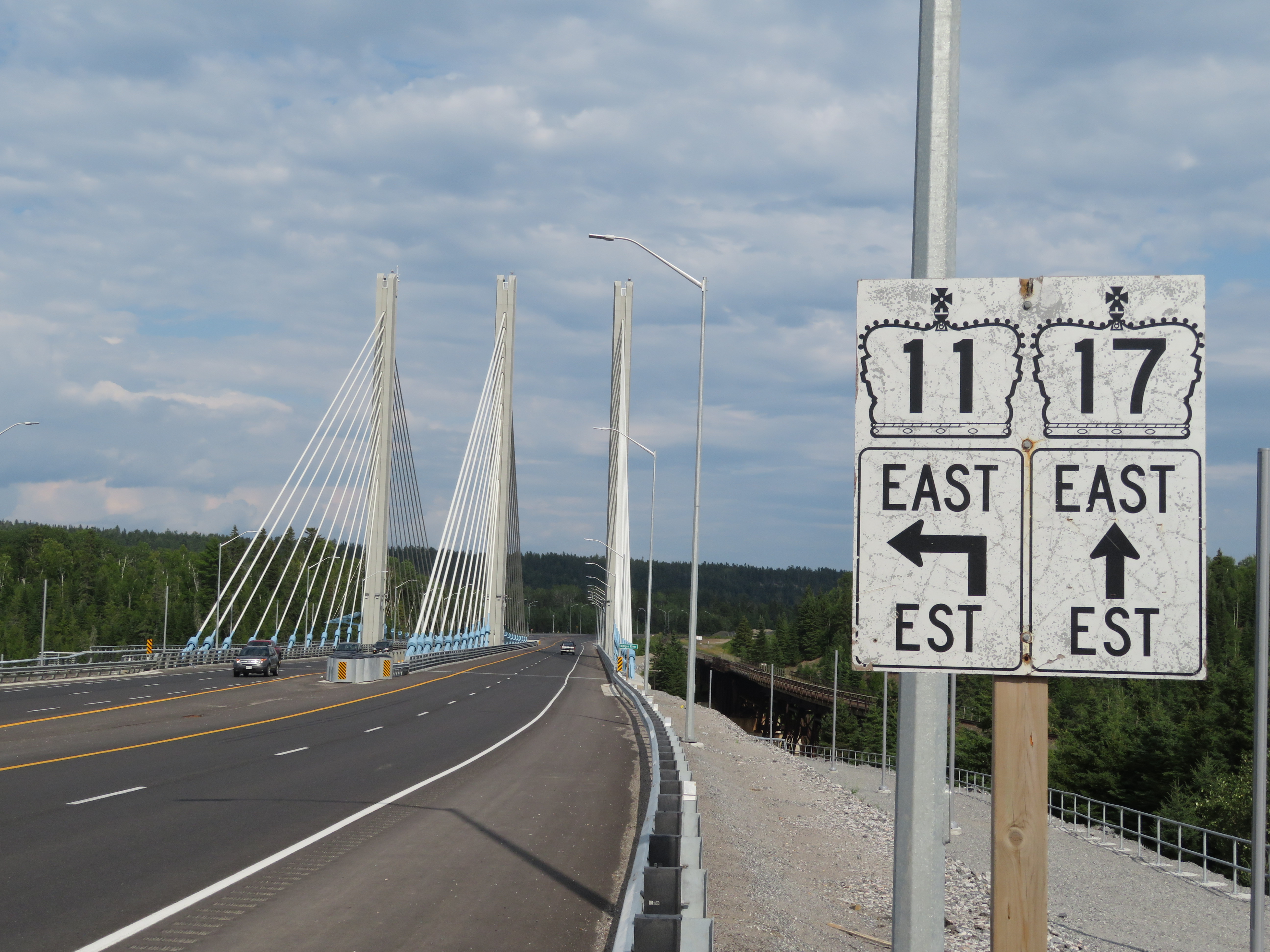
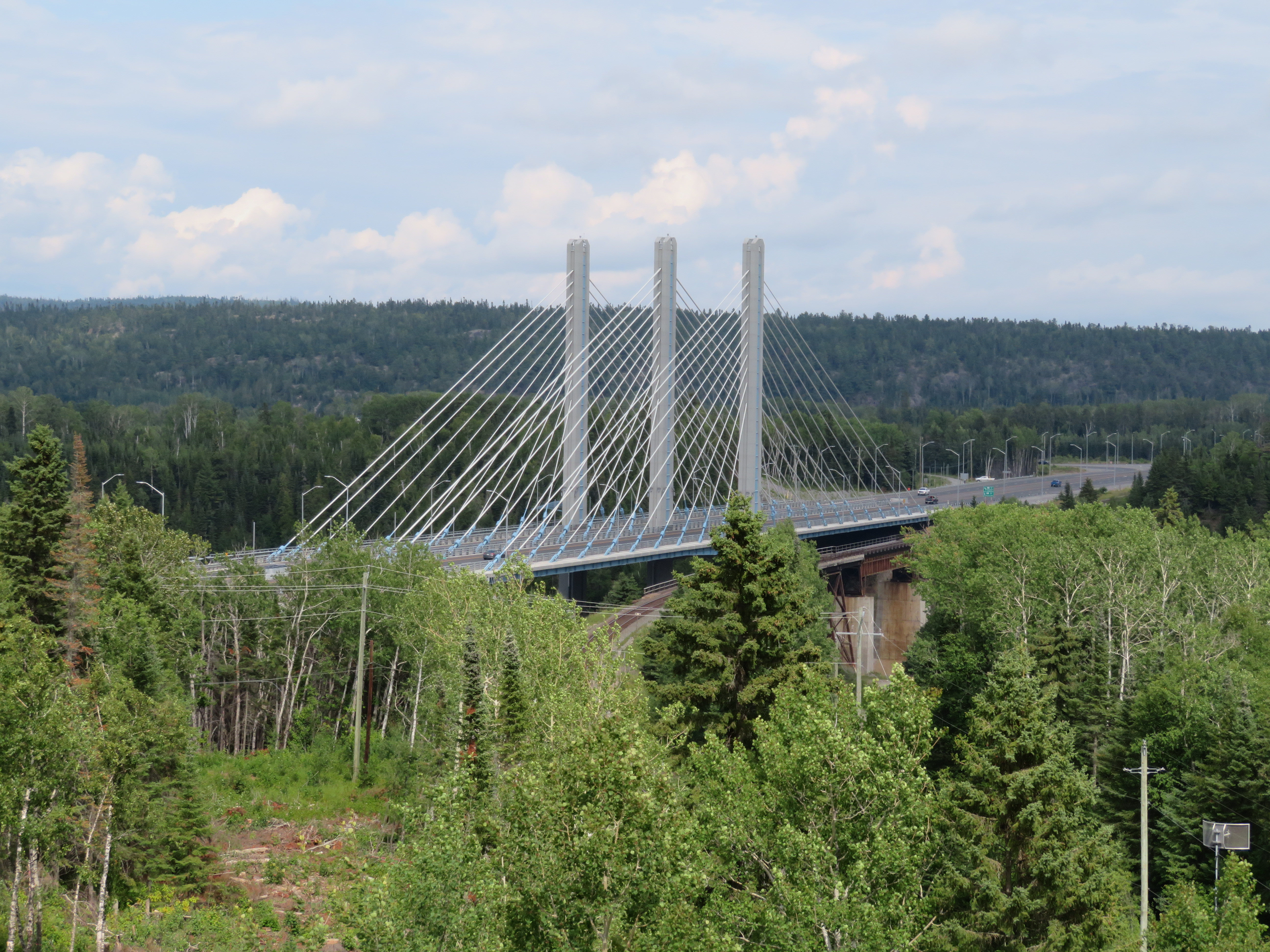
Nipigon River Bridge, August 2019

    In January 2016, a bridge over the Nipigon River failed. Located roughly 100 kilometres northeast of Thunder Bay, it formed part of the Trans-Canada Highway. The only east-west link between Western and Eastern Canada was severed, with the only detour through the United States.

    Climate change, road safety, and access to remote First Nations communities are some of the unique challenges facing Northern Ontario, where highways are especially important. Though highways fall under provincial jurisdiction, the federal government has a role in funding infrastructure and economic development.

    I examine these issues in more detail in my latest article on TVO’s website.

  • Trekking across Northern Ontario

    IMG_2761-001.JPG
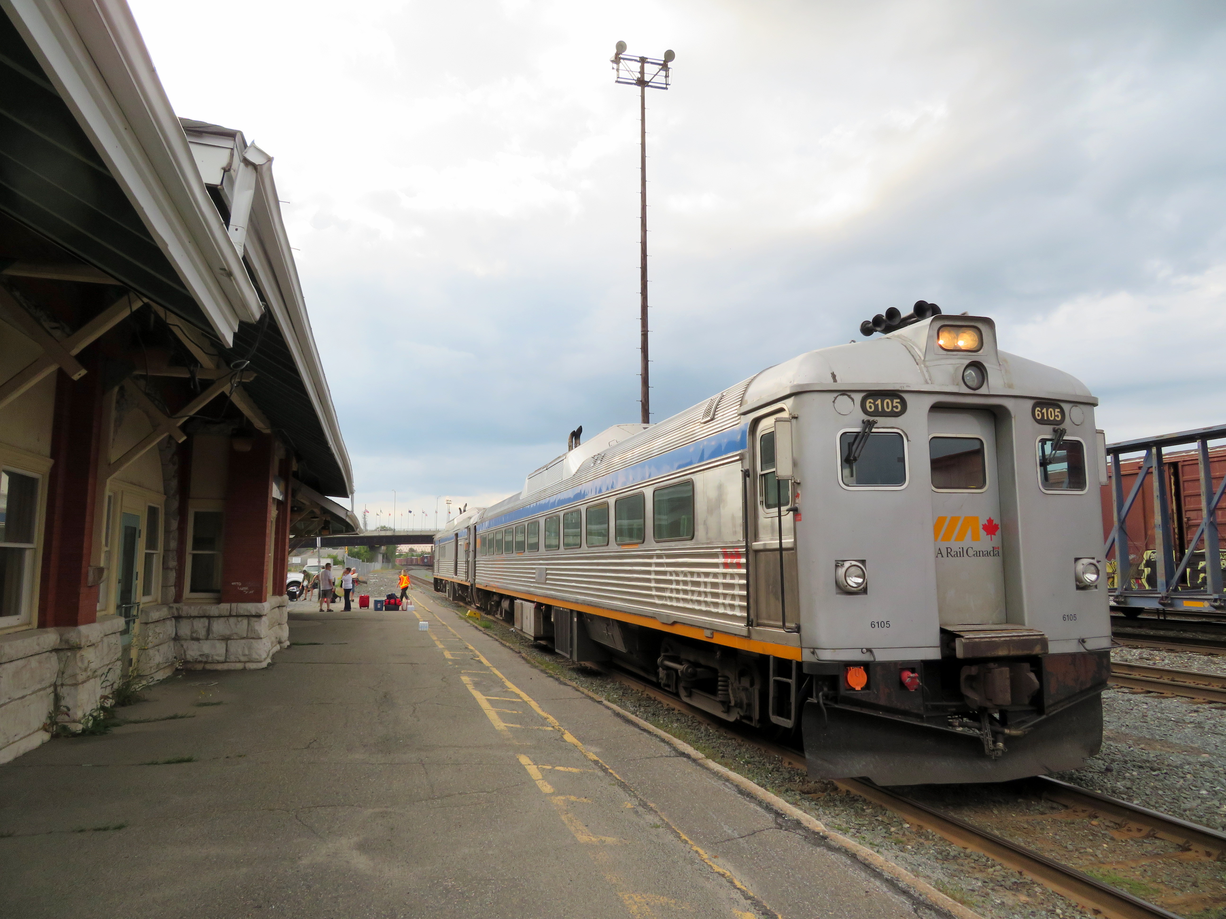
VIA RDC train about to depart Sudbury for White River

    Last month, I embarked on a journey from Toronto to Thunder Bay, a distance of over 1,300 kilometres. My journey took me nearly three days as I opted to travel by bus and rail, rather than by car or by air. Though I had to take three separate trips to accomplish it (an Ontario Northland bus, a VIA Rail RDC train, and a Kasper Transportation mini-bus), it was a very interesting trip.

    IMG_2768.JPG
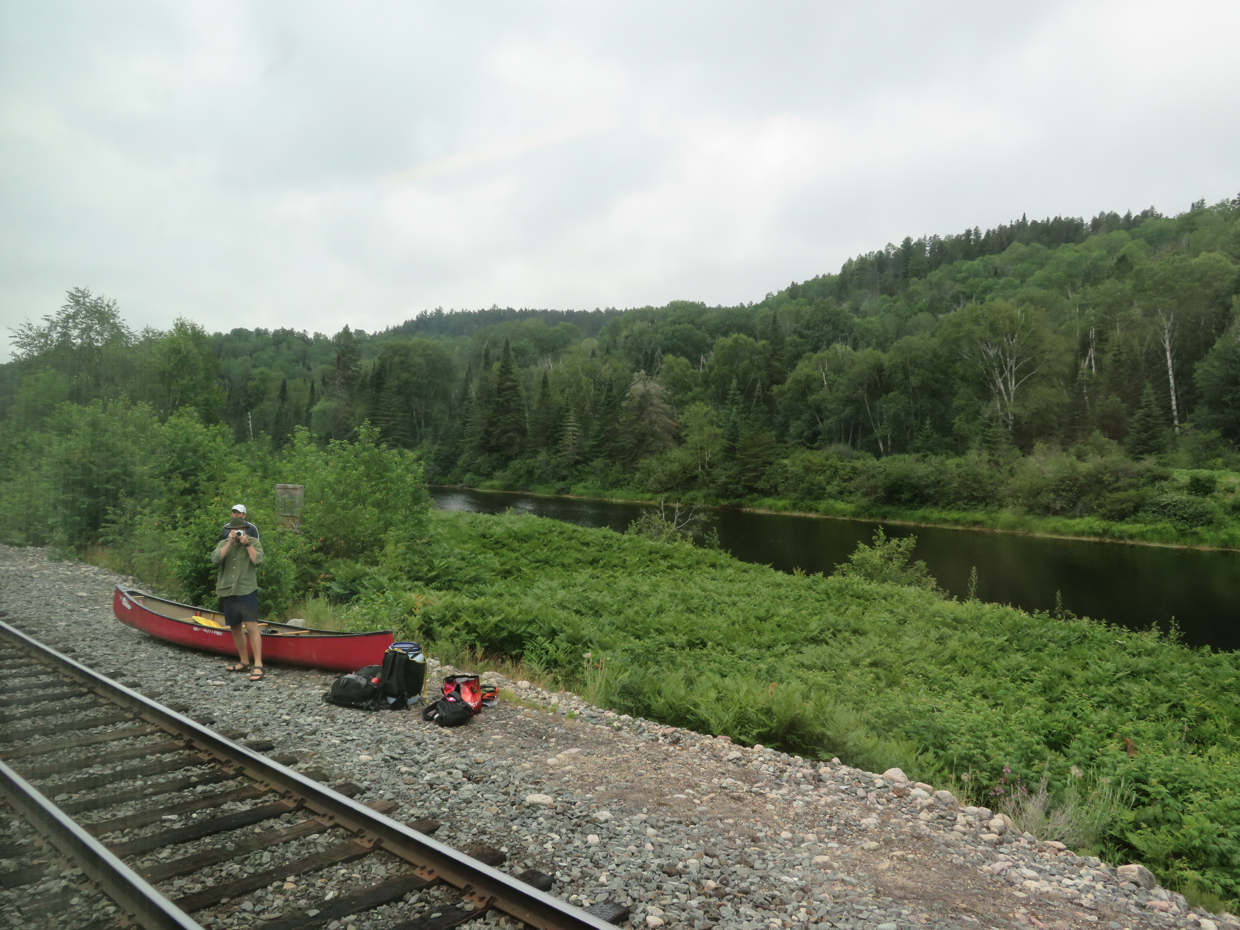
Unloading a canoe from the RDC on the Spanish River, northwest of Sudbury

    Once I arrived in Thunder Bay, I rented a car. Though I know Northeastern Ontario quite well, I had yet to visit Northwestern Ontario (a brief stop in Sioux Lookout on VIA’s Canadian notwithstanding). There are several beautiful provincial parks within a short drive of Thunder Bay, and the city itself has a few interesting sights. Highway 17 along the Lake Superior shoreline is probably Ontario’s most scenic drive.

    Travelling without a car has its challenges, especially as the traveler is at the mercy of sudden schedule changes, traffic delays, and other hiccups, but it is still possible to get across Northern Ontario even after Greyhound’s withdrawal from Western Canada and Northern Ontario last year.

    I wrote about my experience for TVO.

    KasperBusWhiteRiver.JPG
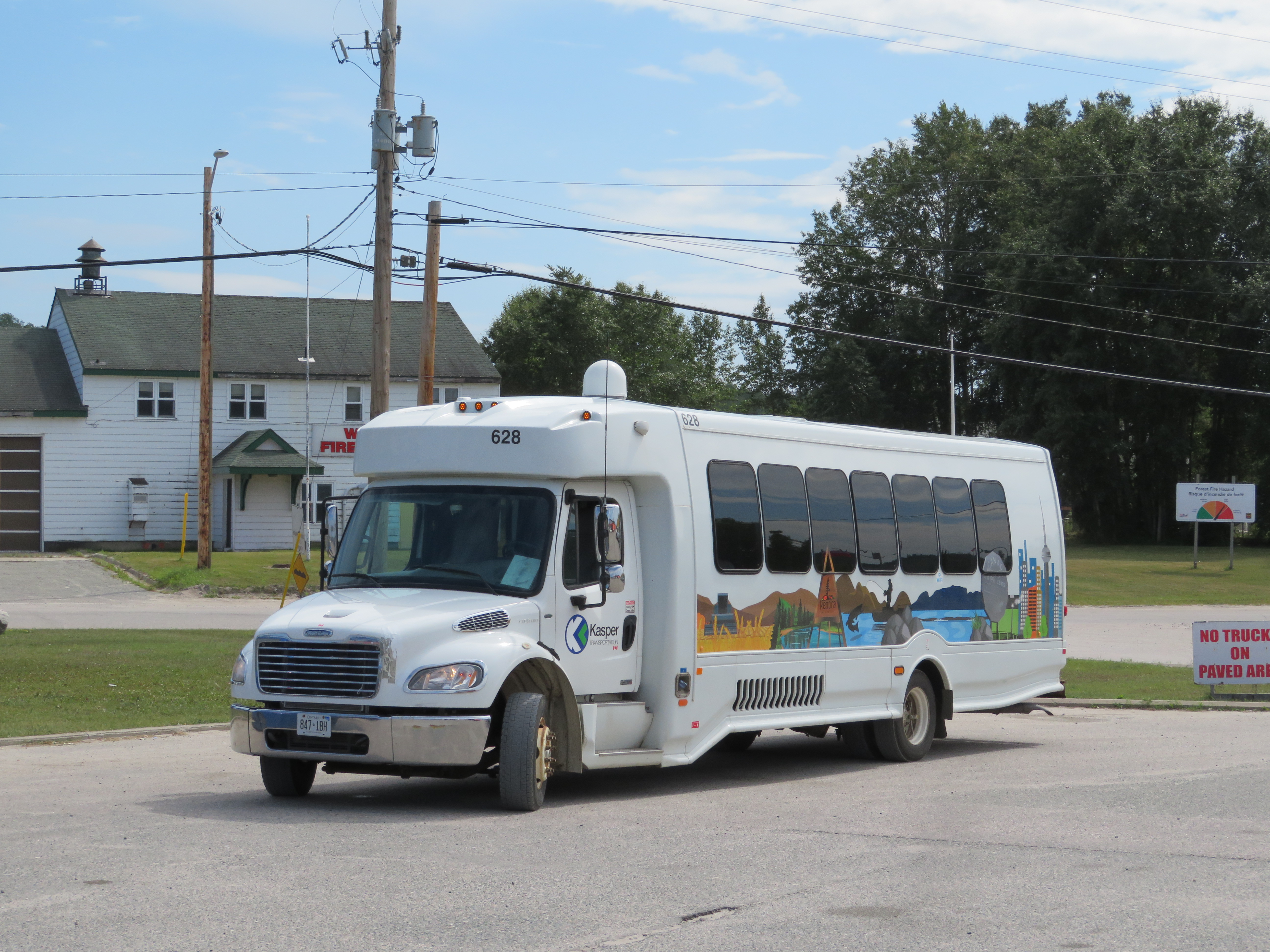
Kasper Transporation bus at White River – filling the gap left by Greyhound

  • How the QEW made way for Ontario’s transportation innovation

    IMG_1263.JPG
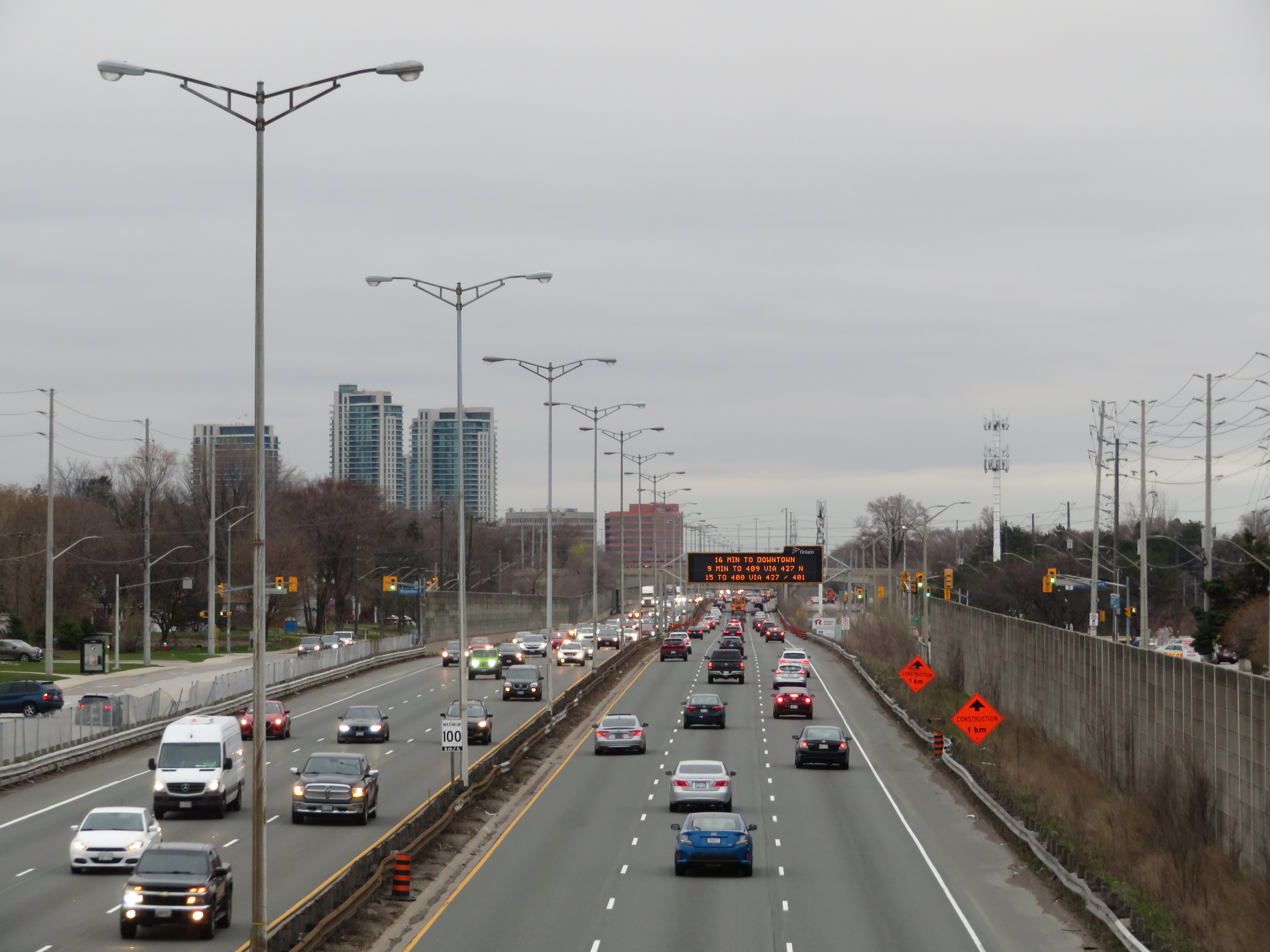
Queen Elizabeth Way looking east towards Dixie Road in Mississauga

    Eighty years ago, the Queen Elizabeth Way was officially dedicated by King George VI and Queen Elizabeth (for whom it was named). The QEW, which connected Toronto with Hamilton and Niagara Falls, was not only Canada’s first superhighway, it was also the longest divided highway in North America. When it opened on June 7, 1939, it featured such innovations as continuous lighting, extensive landscaping, and Canada’s first cloverleaf interchange.

    But the QEW was not built to modern freeway standards. Despite boasting interchanges and traffic circles, it also had many signalized intersections, private driveways, as well as two lift bridges. As traffic increased after the Second World War, the QEW became known as a notorious “death trap.” Luckily, safety innovations developed by Ontario’s Ministry of Transportation and its predecessors have since made Ontario’s highways among the safest on the continent. Interestingly, the QEW is also indirectly responsible for the creation of one of North America’s most successful commuter rail systems.

    I wrote more on the history of the QEW and Ontario’s record of highway safety innovation for TVO.

  • Filling the gap in Southwestern Ontario

    9119948871_f1716baa80_o
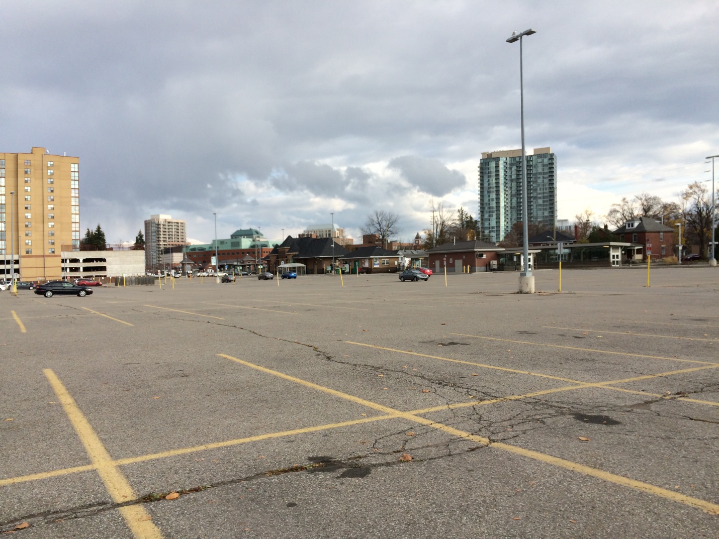
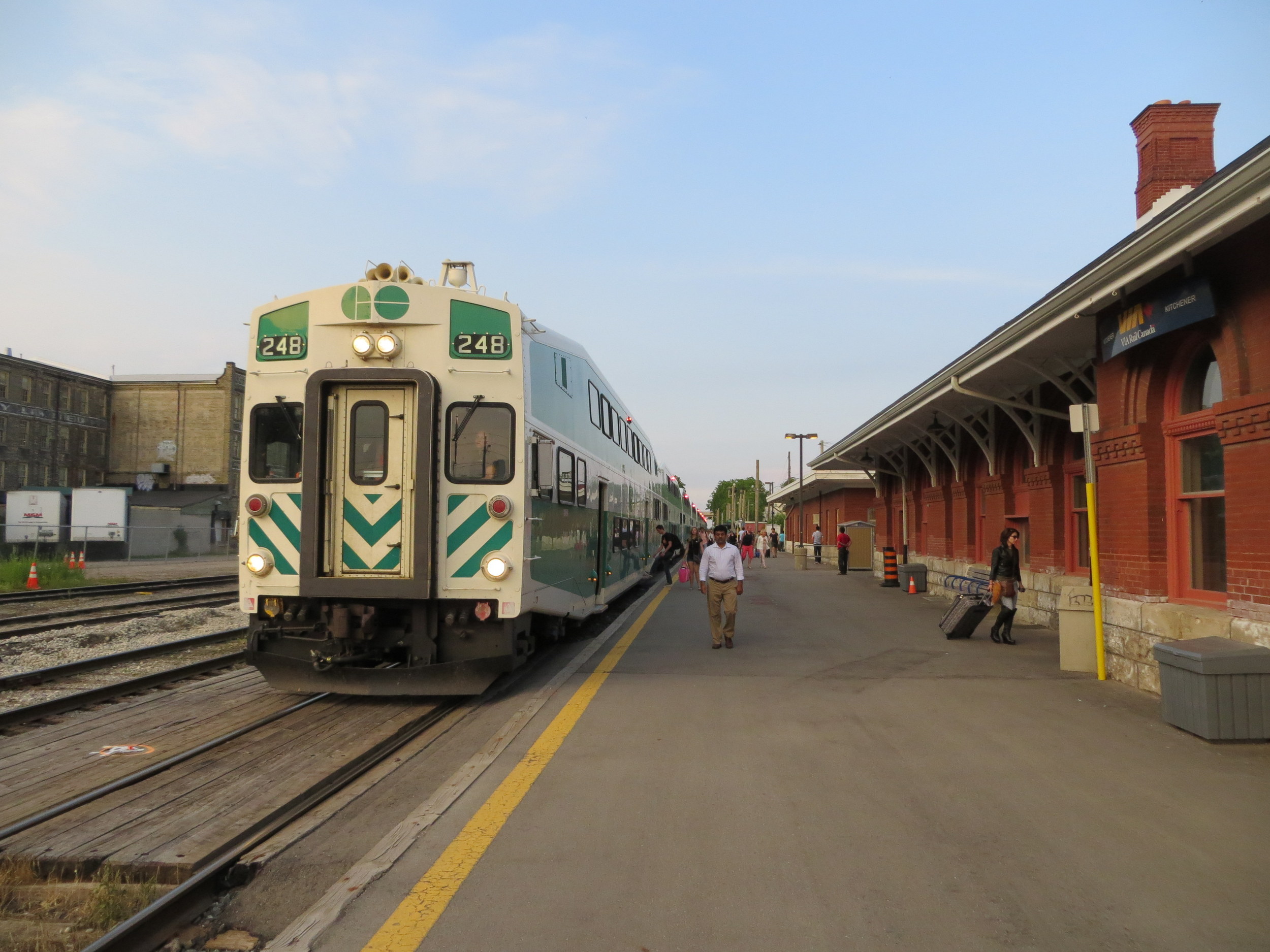
While there’s GO train service between Toronto, Guelph, and Kitchener, it’s inadequate for the regions’s transportation demands 

    Earlier this year, I took a ride on Wroute, a new service connecting Guelph, Kitchener, and Burlington that has some characteristics of a bus service, a taxi company, and ride-hailing app. With a fleet of Tesla Model X electric SUVs, Wroute tries fill a gap left by GO Transit and other intercity transportation operators in the Guelph-Kitchener/Waterloo-Hamilton Triangle. It’s an interesting concept, but it is not enough to move commuters quickly, reliably, frequently and, most important, affordably.

    I spoke with two Kitchener residents — James Bow, author and webmaster of Transit Toronto, and Brian Doucet, Canada Research Chair in cities planning at the University of Waterloo — to find out what the region really needs.

    You can read the full article at the TVO website here.

    IMG_8407-001.JPG
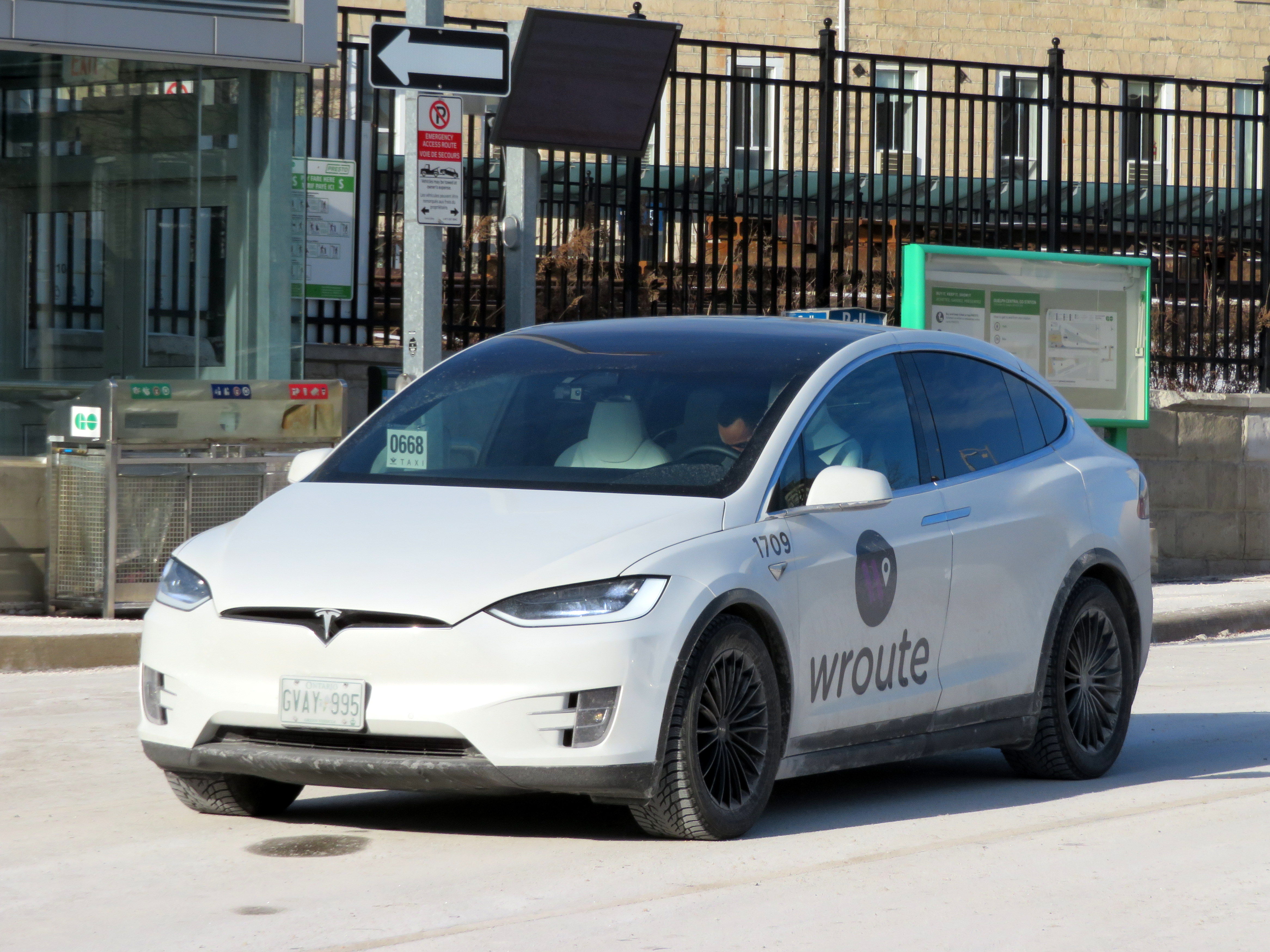
Tesla operated by Wroute at Guelph Central Station

  • Requiem for Ontario’s regional malls

    IMG_8782-001
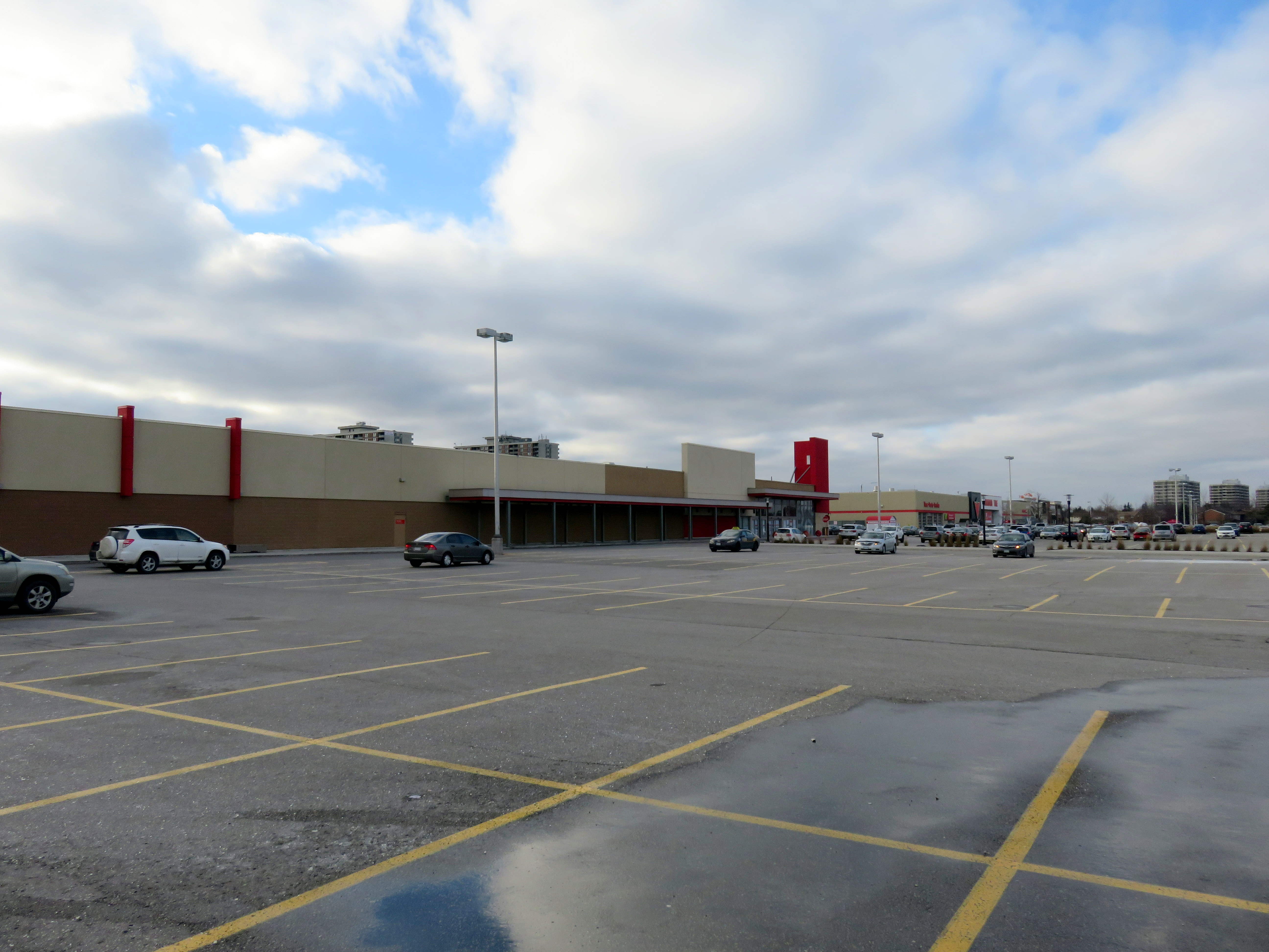
Shoppers World Brampton, 2016, before the Target store was replaced by smaller stores, including Giant Tiger

    Recently, I wrote about the history of Ontario’s downtown malls. Most of these shopping centres, built in the 1970s and 1980s in the downtown cores across the province, failed by the end of the 1990s. The collapse of the Eaton’s department store chain and competition from larger, suburban malls and new big-box retailers drove customers away from Ontario’s downtowns. Only in Toronto and Ottawa, with large downtown office employment, residential development, and good urban transit, did these major shopping malls thrive.

    But that does not mean that all suburban shopping centres are doing well, especially after the loss of Target in 2015 and Sears Canada in 2017. For TVO, I wrote more about how smaller regional malls in Ontario are re-positioning themselves.

    The Brampton house that I grew up in was a ten minute walk from Shoppers World, which, in the 1980s, had a full line department store, Simpson’s, as well as Marks and Spencer, K-Mart (where I had my first paying gig, delivering shopping carts back to the store abandoned in nearby parks), a Pascal hardware store, and two supermarkets, Food City and A&P. Larger, more popular malls like Mississauga’s Square One and Bramalea City Centre were one bus ride away, but Shoppers World held its own, even if it was second tier. By the 1990s, though, it was clear that the mall was in decline: national retailers were leaving and there was a noticeable lack of investment in the property.

    When RioCan REIT purchased Shoppers World in the late 1990s, it made some improvements and attracted big-box retailers like Canadian Tire, Staples, and Winners. Zellers took over the K-Mart store, which was expanded. But The Bay (which replaced Simpson’s) was closed down and the store later demolished. I had left Brampton in 2006, but I was still sad to see my one-time local mall decline. Now RioCan has talked about downsizing the mall, and redeveloping part of the property. Competition from larger, stronger shopping malls, newer retail power centres, the mismanagement of several retail firms, and internet shopping have all taken their toll. Shoppers World isn’t a dead mall, but like many smaller malls, it will be adapting to changing times.

    In the TVO article, I take a look at a few other malls, like London’s Westmount Mall, in similar circumstances.

    ShoppersWorld.jpg
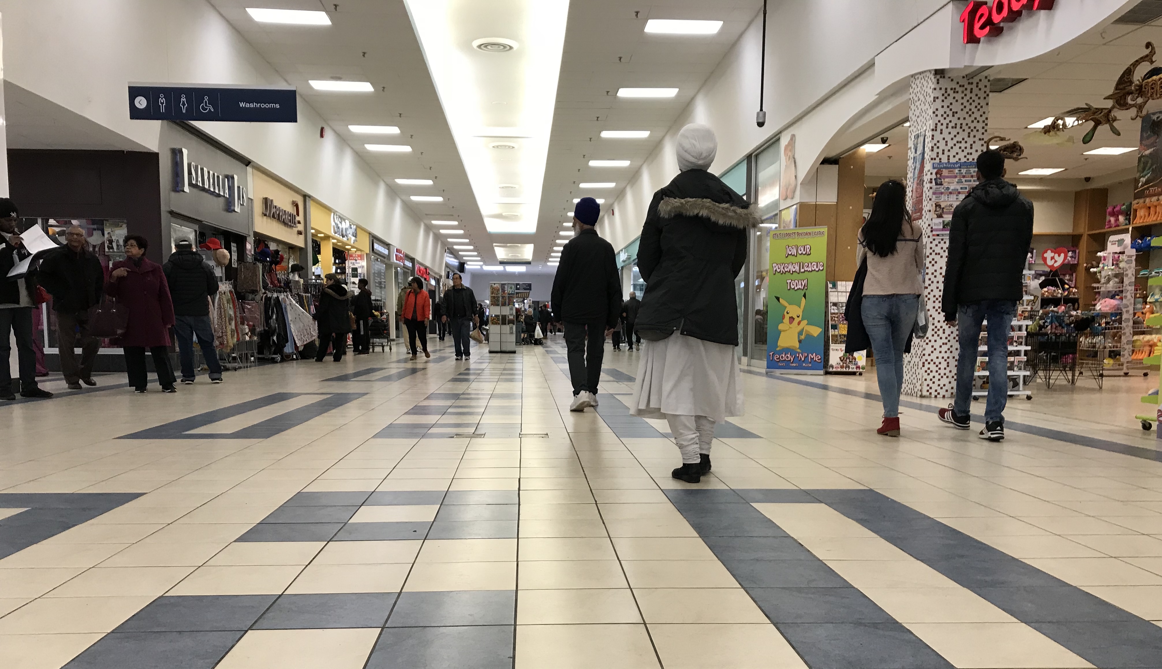
Shoppers World, 2018. Despite many store vacancies, it’s still a community hub.

  • A tale of two university campuses

    BramptonParkingLot
    Site of Brampton’s new Ryerson/Sheridan campus

    Last week, the provincial government announced two new post-secondary educational campuses in Toronto’s fast-growing western suburbs, due to open in 2022. Wilfrid Laurier University will be partnering with Conestoga College on a new facility in Milton. Brampton will be getting a new Ryerson University campus in partnership with Sheridan College. Both new campuses, each receiving $90 million in provincial capital funding, will be focused on undergraduate STEAM (science, technology, engineering, arts, and mathematics) programs. Both will host up to 2,000 students once the new facilities are fully operational.

    Despite the many commonalities between the new Milton and Brampton facilities, the announced campus locations could not be any more different. Milton’s Laurier/Conestoga campus (which I previously wrote about as an example of the problems of greenfield institutions) will be located on a new greenfield site on the southwestern outskirts of the town’s built-up area, while Brampton’s Ryerson/Sheridan campus will be located in that city’s downtown core, on a site currently used for commuter parking. But since GO Transit’s free commuter parking has to go somewhere, Metrolinx has been buying up and demolishing houses and offices on a nearby downtown block.

    I compared the two new campuses for TVO