
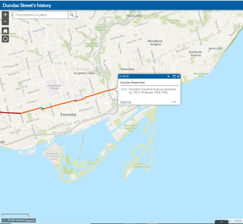
Since 1853, the year that the Ontario, Simcoe & Huron Railway first laid track at the city’s waterfront, Toronto has been criss-crossed by rail corridors. With the exception of the Ontario & Quebec Railway (a subsidiary of Canadian Pacific), every rail line built converged on Toronto’s downtown waterfront, and radiated out across the province, with connections to neighbouring provinces and states. Though Toronto’s first Union Station was built in 1858 by the Grand Trunk Railway (which also hosted two competing railways that the GTR later acquired), there was still a need for smaller stations outside the downtown core.
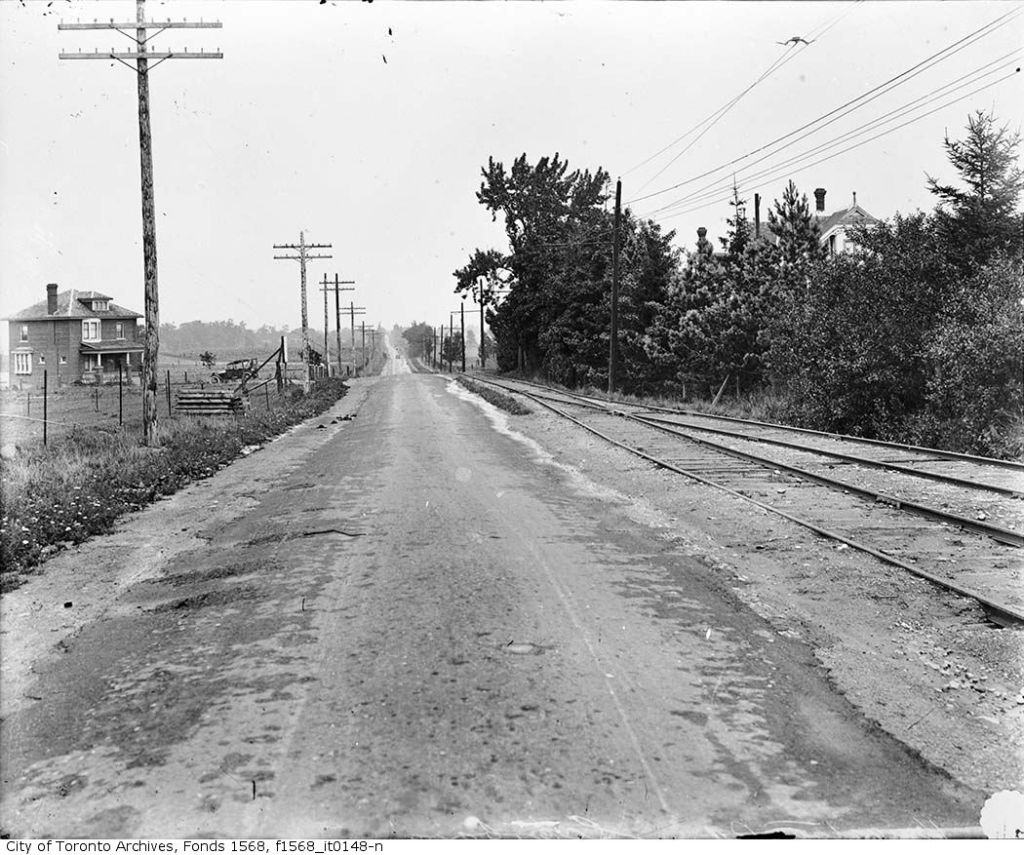
Outlying stations within the city limits, such as East Toronto (Danforth), Riverdale, and Don Stations in the east, Parkdale, West Toronto, Davenport, and Sunnyside Stations in the west, were particularly important prior to modern dispatch and signalling systems. Station agents at stops outside the city centre were useful to commuters, while the station agent would deliver important messages to train crews entering the congested downtown railyards and passenger facilities. Mail could be collected, delivered, and processed for local residents and businesses. Passengers could purchase tickets without needing to go all the way downtown.
In the early 1900s, Canadian Pacific — tired of delays with constructing a new third Union Station — built a grand station where its original Ontario & Quebec mainline crossed Yonge Street. Though the station was popular with the area’s affluent residents, CP closed the station during the Depression. (Today, it’s a magnificent LCBO flagship store.)
Outside the old City of Toronto, there were staffed passenger stations at Long Branch, Mimico, Scarborough Junction, Port Union, Agincourt, Leaside, Downsview, Weston, and Islington.
By the end of the 1960s, many of these stations were closed. In southern Ontario, mail was being sent by truck instead of rail, sorted in large processing facilities. The loss of the mail contracts spelled the end of many rural passenger rail services. Modern centralized traffic control and wireless communication systems did away for the need for station staff to relay messages and orders to passing trains. Though there were still dozens of passenger trains arriving and departing Union Station, these trains, mostly on the Montreal-Windsor corridor, made fewer stops. In 1967, GO Transit replaced the remaining all-stops commuter service on CN’s line between Hamilton and Toronto; it eventually replaced most of CN’s stations on what are now the Lakeshore, Kitchener, and Stouffville Lines with new station stops or built new facilities at old station sites that better served suburban park-and-ride commuters. GO also added new stations such as Guildwood, Bloor, and Old Cummer.
Within the City of Toronto, there are only four passenger railway station buildings preserved: Union Station, CP North Toronto Station, Mimico Station, and Don Station. Mimico and Don Stations were moved off-site, while only Union Station remains in continuous passenger service. Other stations burned down, were demolished, or were simply left to rot. In a few places, though, old staircases provide clues to these long-lost stations.
Don Station
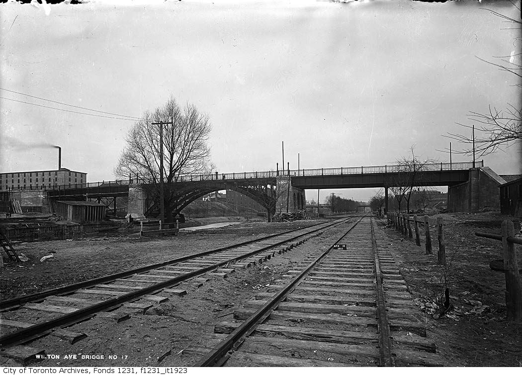
Don Station was built by CP in 1896 to serve its new branch to Union Station from the Ontario & Quebec mainline at Leaside. Located at Queen Street at the Don River, it was an important waystation for train crews to receive orders before arriving at Union Station or before departing northeastward on the long trestle towards Leaside and Montreal. When Canadian Northern built its mainline through the Don Valley in 1906, it shared the approach tracks with CP and also used Don Station.
Originally, the CP and CNoR tracks crossed Queen Street at grade. After a catastrophic streetcar-train crash further east on Queen Street, the City of Toronto pushed to grade-separate all major road crossings. In 1911, a higher-level bridge was built that spanned the Don River and the railway tracks. Today, it also spans the Don Valley Parkway.
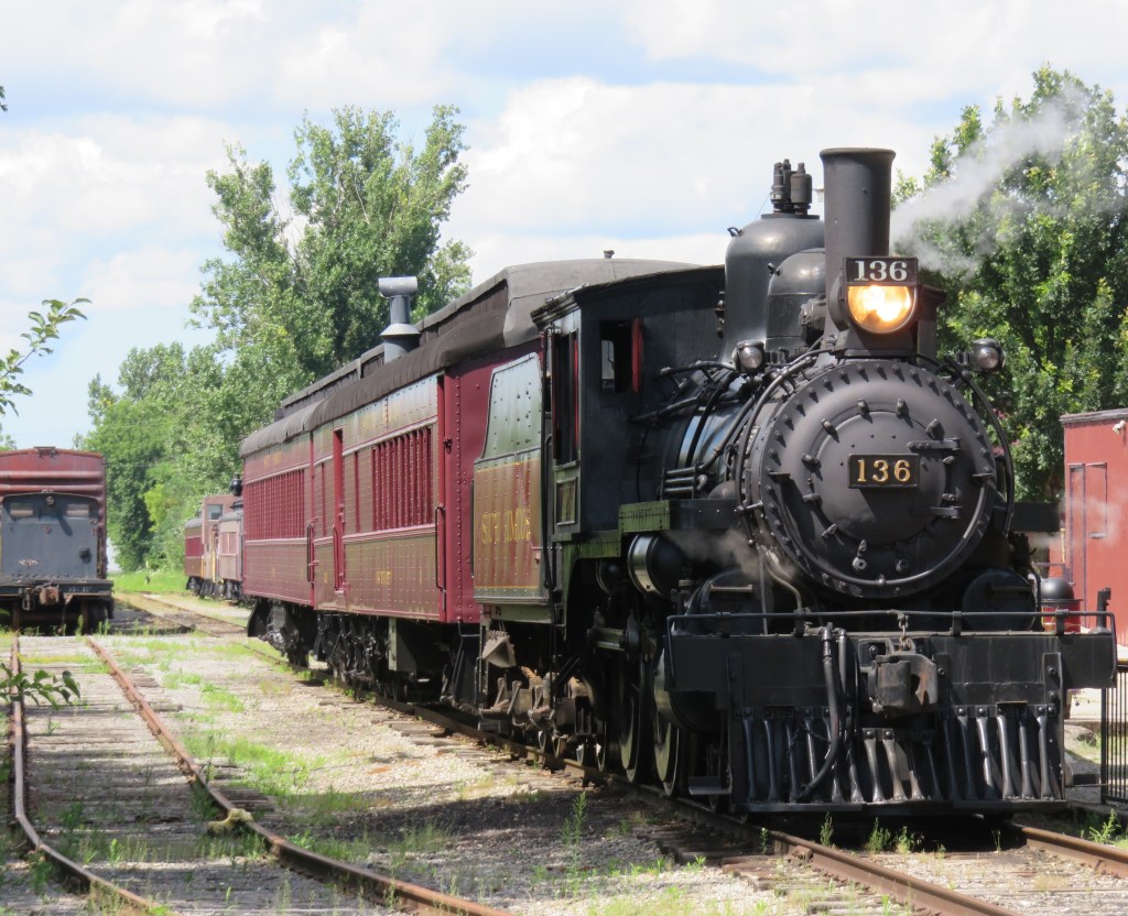
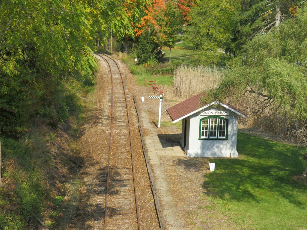
The station closed in 1967 when the Toronto-Peterborough-Havelock train stopped serving Don, and the station building was moved to Todmorden Mills in 1969. In 2008, the station was moved again, to Roundhouse Park. It now hosts passenger trains again; albeit a miniature train operated by the Toronto Railway Museum.
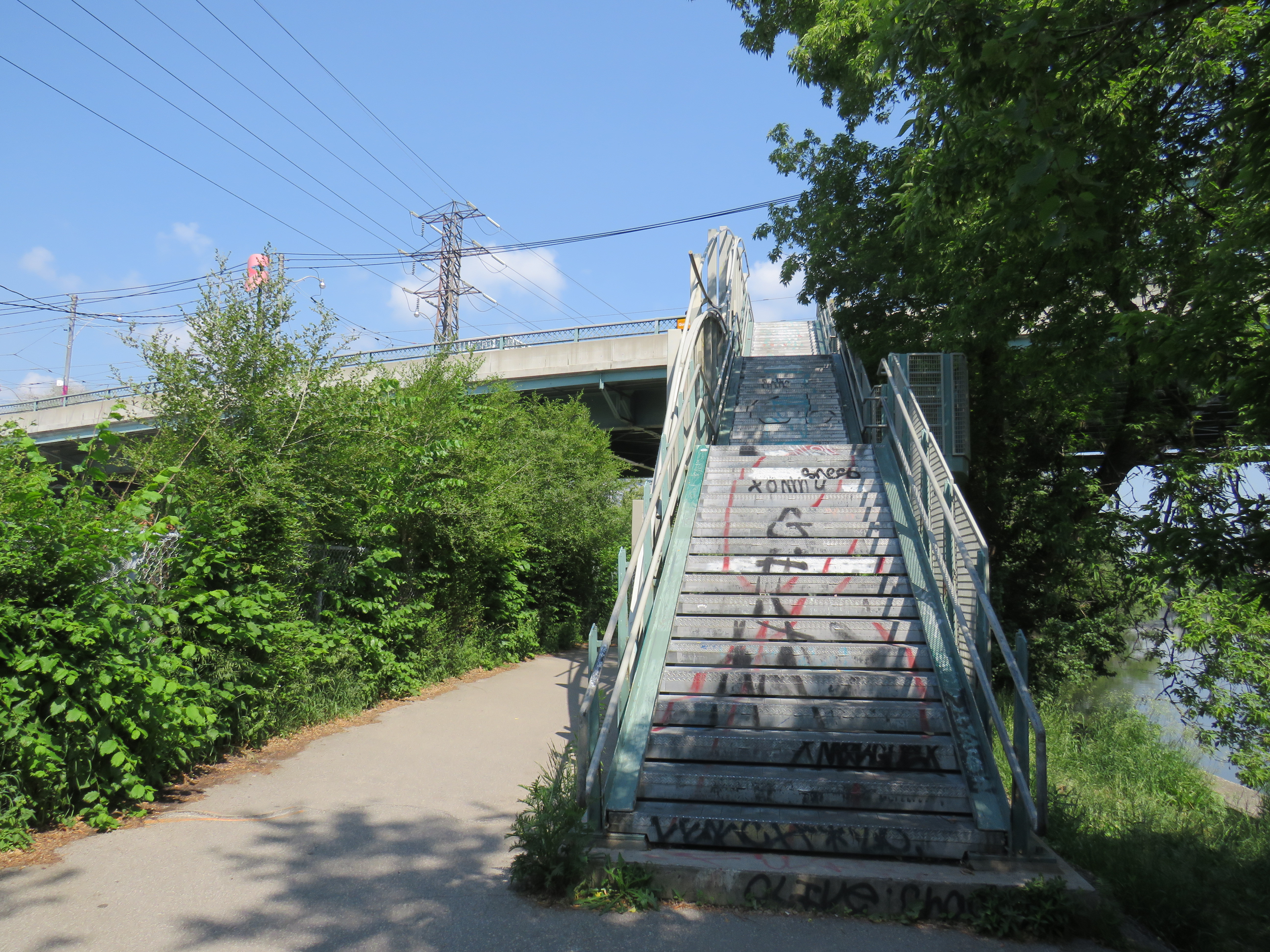
The original wooden stairway from Queen Street that connected to Don Station was removed by the early 1960s and replaced by a metal staircase. The metal structure has since been refurbished and now connects Queen Street with the Lower Don Trail.
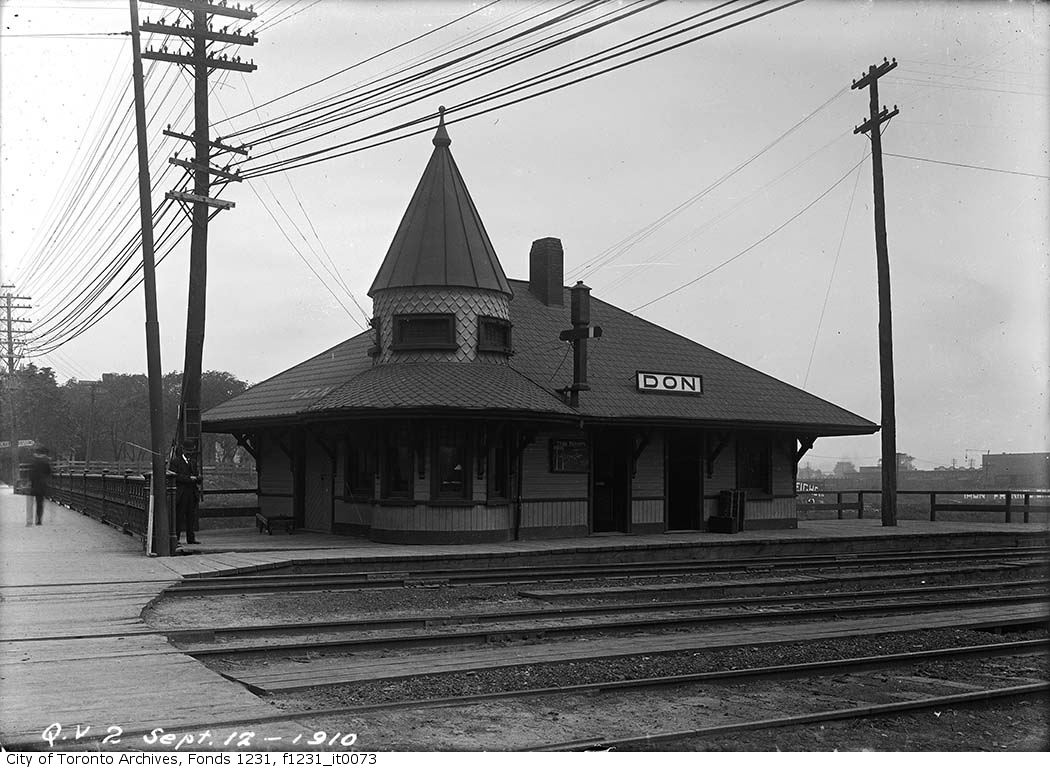
– City of Toronto Archives Fonds 1231, Item 73
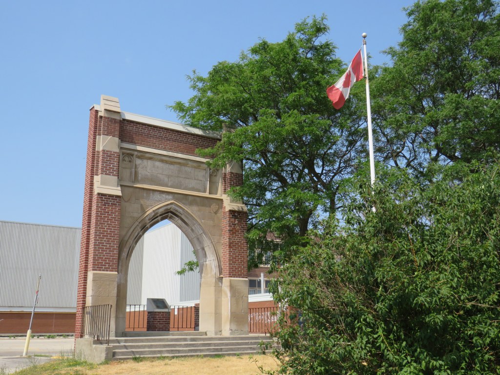
Parkdale CN Station
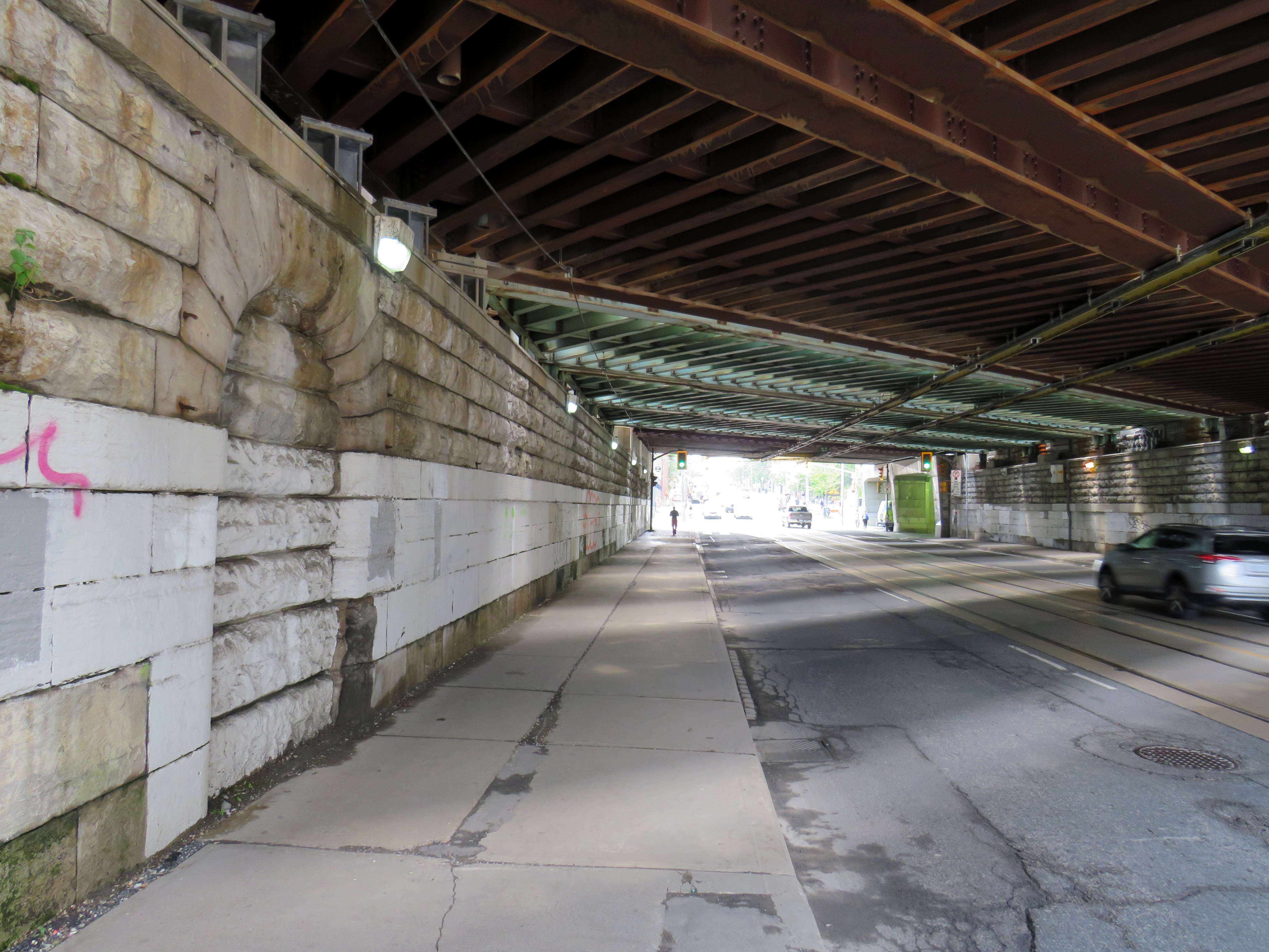
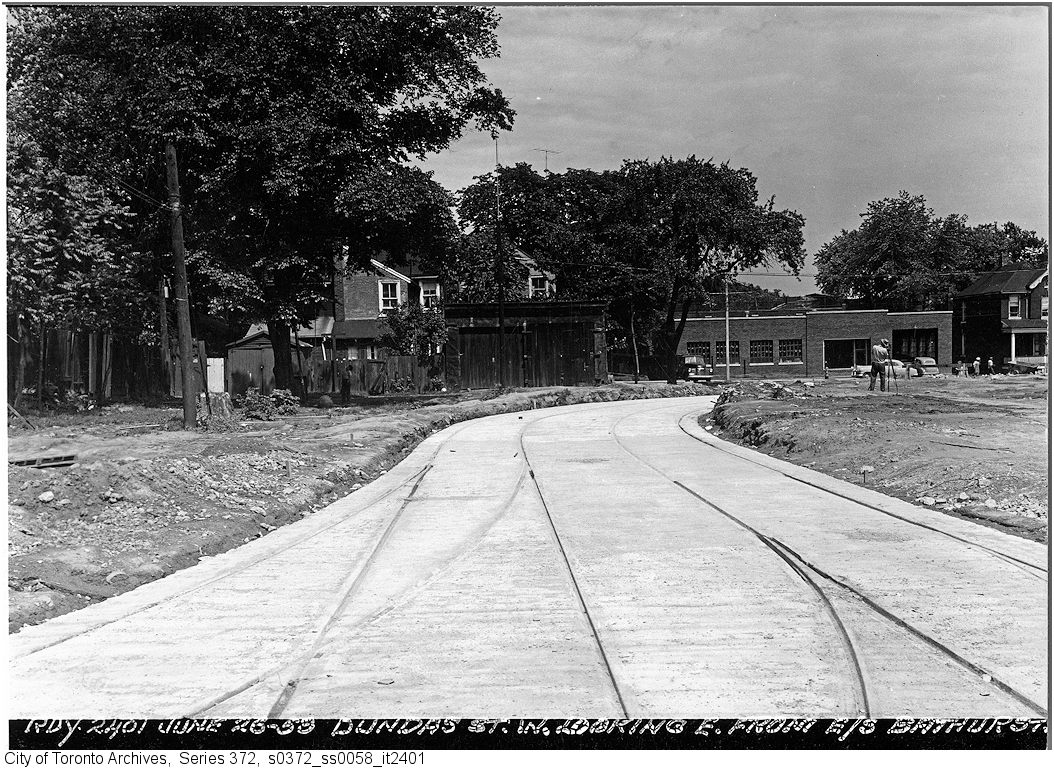
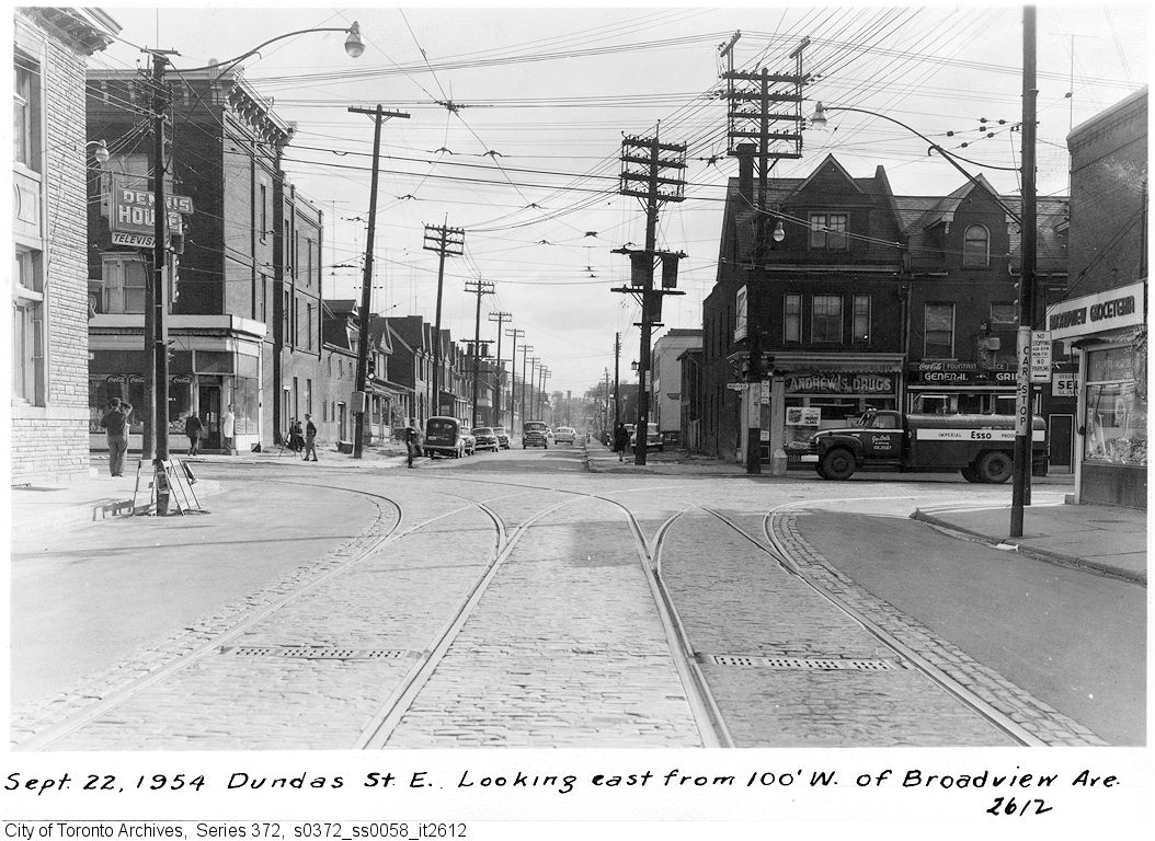
Until 1960, every train on the Toronto-Kitchener-London route made a stop at Parkdale, near the corner of Queen and Bathurst Streets. The Queen Street Subway, completed in 1898, was one of the first road-rail grade separations in the city. The underpass allowed streetcars and traffic to avoid the multiple Grand Trunk and Canadian Pacific mainline and service tracks that crossed Queen Street. Both Grand Trunk (later CN) and CP had stations at Parkdale, though the wooden GTR/CN station was located between the tracks and had to be accessed by a stairway from the south side of the Queen Street underpass.
The CN station was closed in 1974, after GO Transit began service to Brampton and Georgetown, opting for a new station at Bloor Street, close to the Bloor-Danforth Subway. The station building was moved nearby for heritage preservation, but was set on fire at its temporary location at Queen Street and Roncesvalles Avenue.
A bricked up archway betrays the old passage to the now-demolished station.
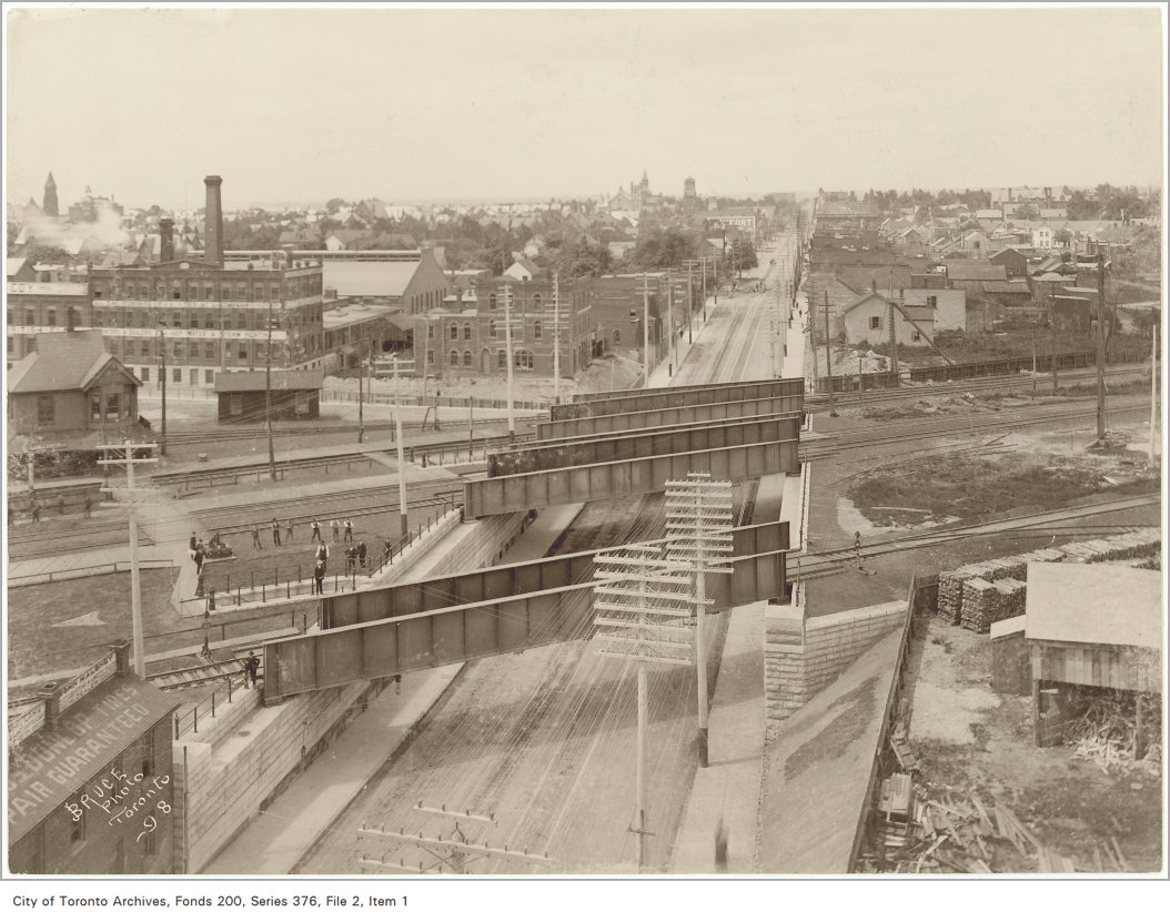
– City of Toronto Archives Fonds 200, Series 376, File 2, Item 1

– City of Toronto Archives Fonds 16, Series 71, Item 1601
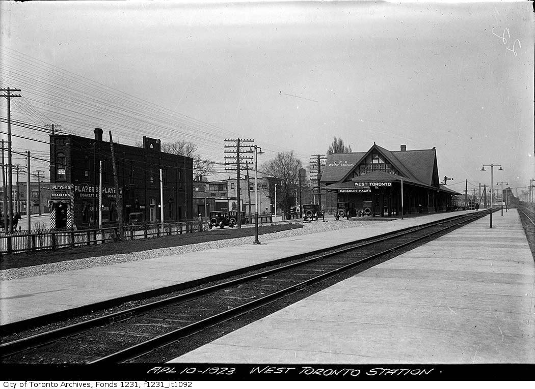
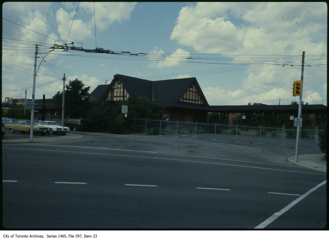
West Toronto CP Station
Both CN and CP had stations at West Toronto. The Grand Trunk (later CN) station was located on Old Weston Road near Davenport Road. The CN station closed in the early 1980s and was demolished in 1999 after being left abandoned to the elements and vandals.
The CP station was located to the south, on Old Weston Road just north of Dupont and Dundas Streets. As the town of West Toronto (originally known as Toronto Junction) built up around the junction between CP’s Ontario & Quebec, Credit Valley, and Toronto, Grey and Bruce Railways, the CP station was the pride of the community. The last station on the site, completed in 1911, was a large building in the Tudor style, with a long canopy. The last train to serve West Toronto, CP’s Canadian, departed in 1978, and CP controversially demolished the station under cover of darkness in 1982.
– City of Toronto Archives, Series 1464, File 597, Item 23
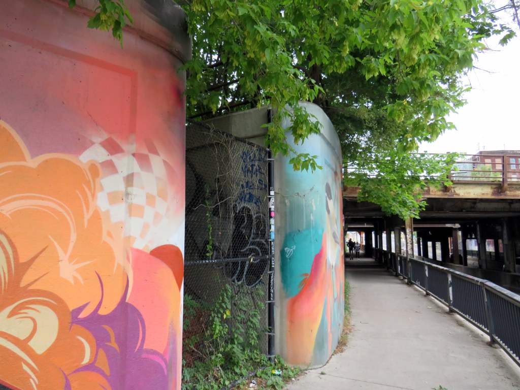
At the south end of the station platform, a stairway led down to the north side of Dupont Street. Though it is fenced off, the stairway is still very much visible just west of the railway underpass. The concrete retaining wall has been brightened up by local graffiti artists.

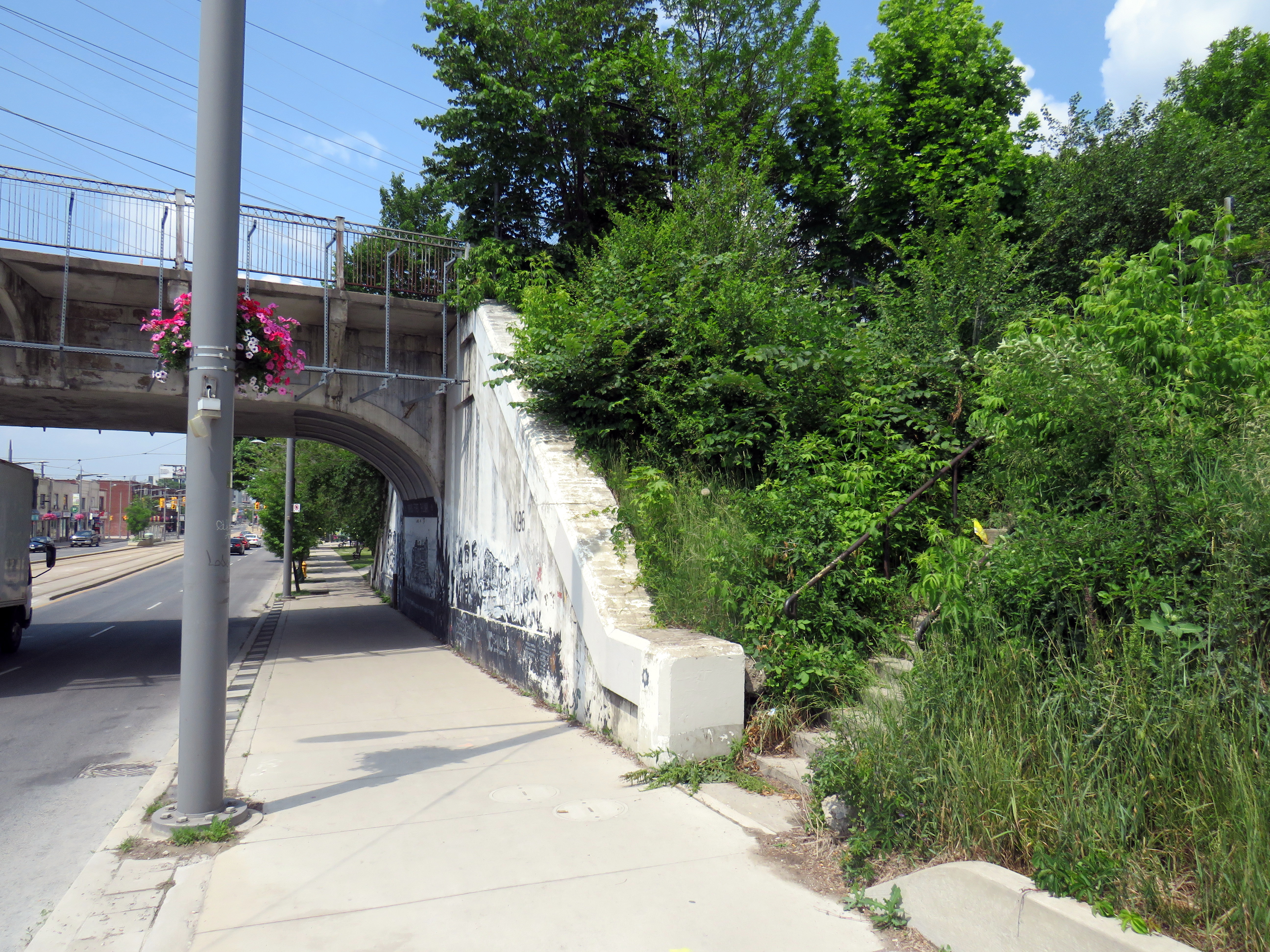
St. Clair Avenue Station
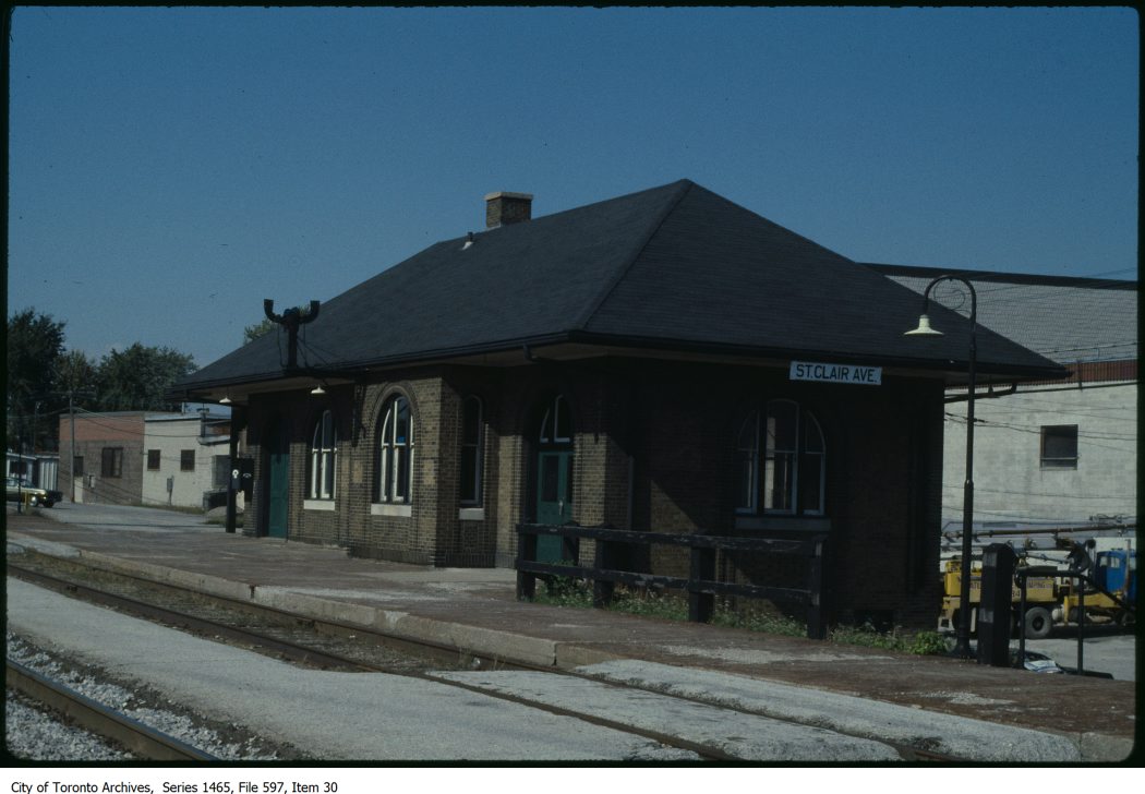
– City of Toronto Archives, Series 1465, File 597, Item 30
St. Clair Avenue Station was completed in 1931, as part of a grade separation project that finally allowed through streetcar service on St. Clair West. The small brick structure replaced an older station at Davenport Road, which was soon demolished.
St. Clair Avenue served CN trains between Toronto, Northern Ontario, and Western Canada, though passenger services declined through the 1960s and 1970s. When GO Transit took over the local Barrie train from VIA, it cut the stop at St. Clair Avenue. The station was closed for good when VIA’s Canadian was rerouted from the CN Newmarket Subdivision in 1985. Like other disused passenger stations, the building suffered from neglect, vandalism, and arson, before being demolished by CN in 1999.
The remains of the station platform are still visible from the east side of GO trains on the north side of St. Clair, especially in winter and early spring. From St. Clair Avenue itself, a stairway, partially hidden by greenery, leads up to the old station site.
Exhibition Station
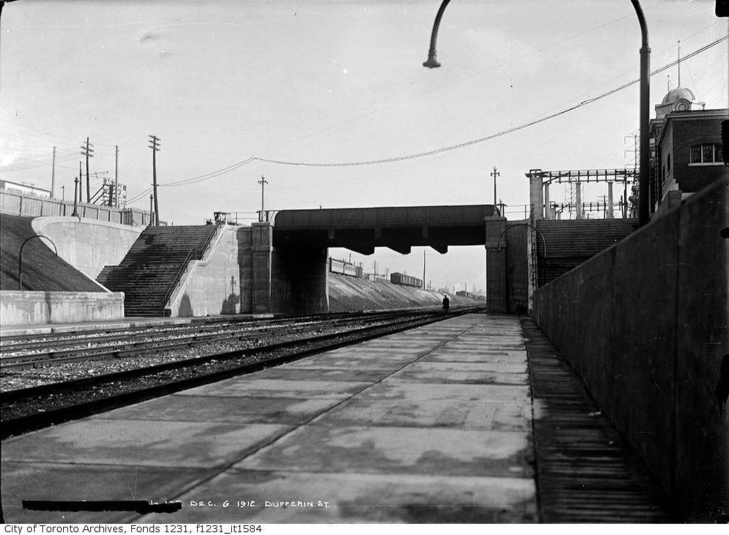
In 1912, the Grand Trunk Railway opened a new station that was intended to see train service for only a few weeks a year. Exhibition Station, constructed at the foot of Dufferin Street, was an anomaly. It had no full-time station agent, but it featured wide platforms and staircases leading up to Exhibition Place’s Dufferin Gates. Special trains during the Canadian National Exhibition would quickly load and offload fairgoers. As CP, through its part-ownership of the Toronto, Hamilton & Buffalo Railway, had running rights on the GTR/CN tracks between Union Station and Hamilton, it too, could send trains direct to the CNE.
Exhibition Station remained in use until the early years of GO Transit, when it built a new station farther east in the early 1970s. Upgraded since then, the current Exhibition Station will become a multimodal hub with the construction of the Ontario Line. Meanwhile, the old stairways and platforms remain, though fenced off.
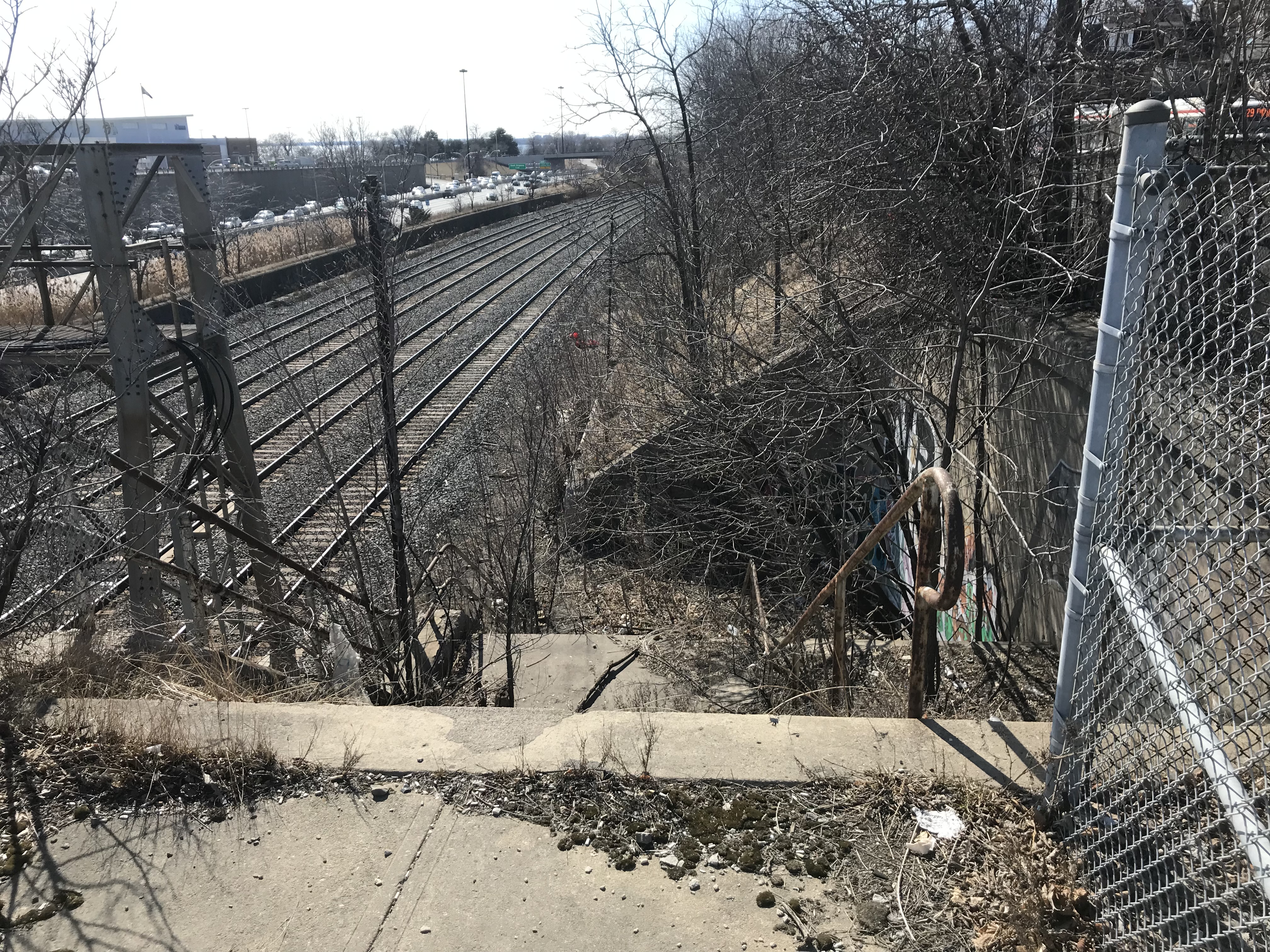
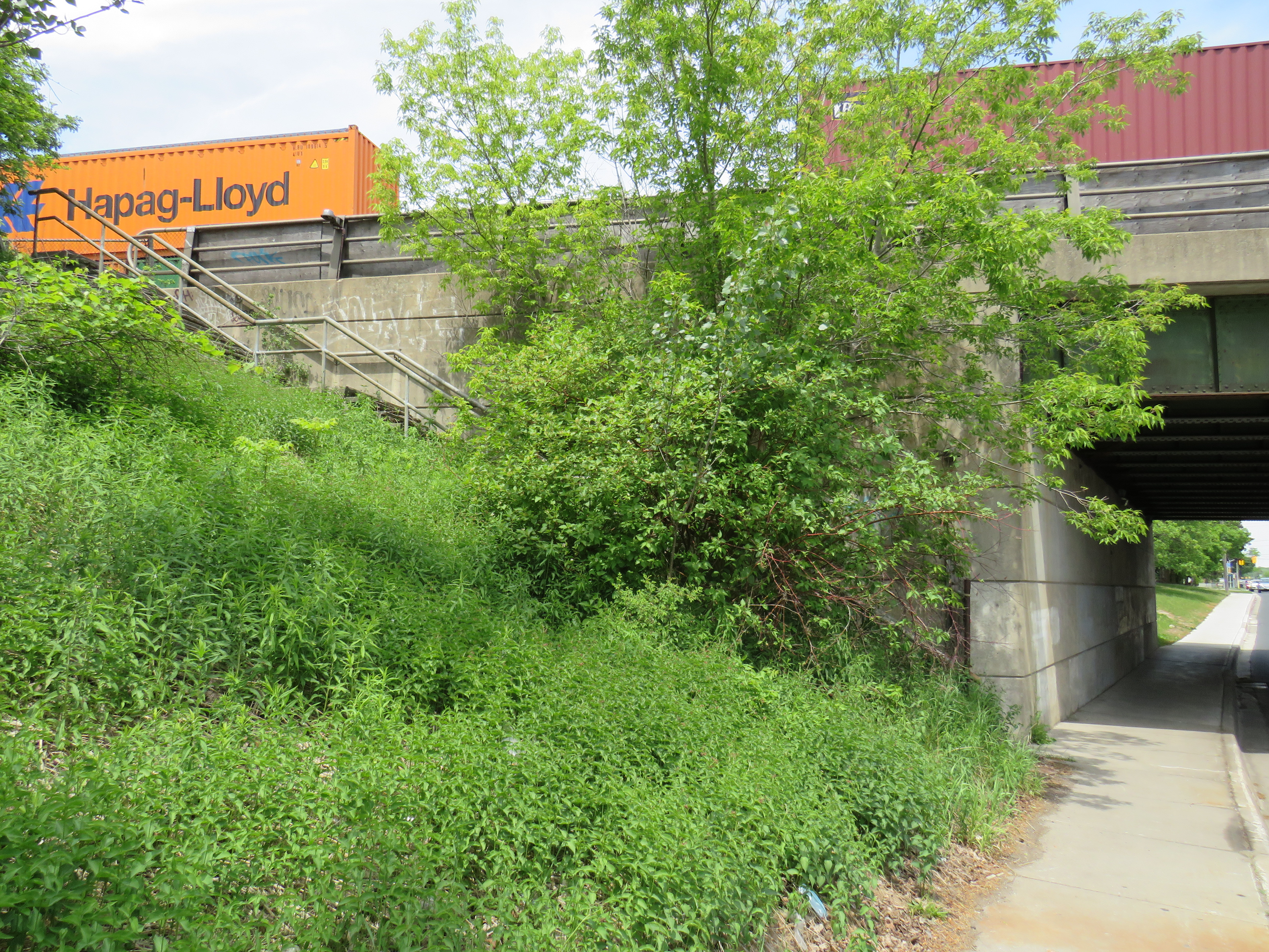
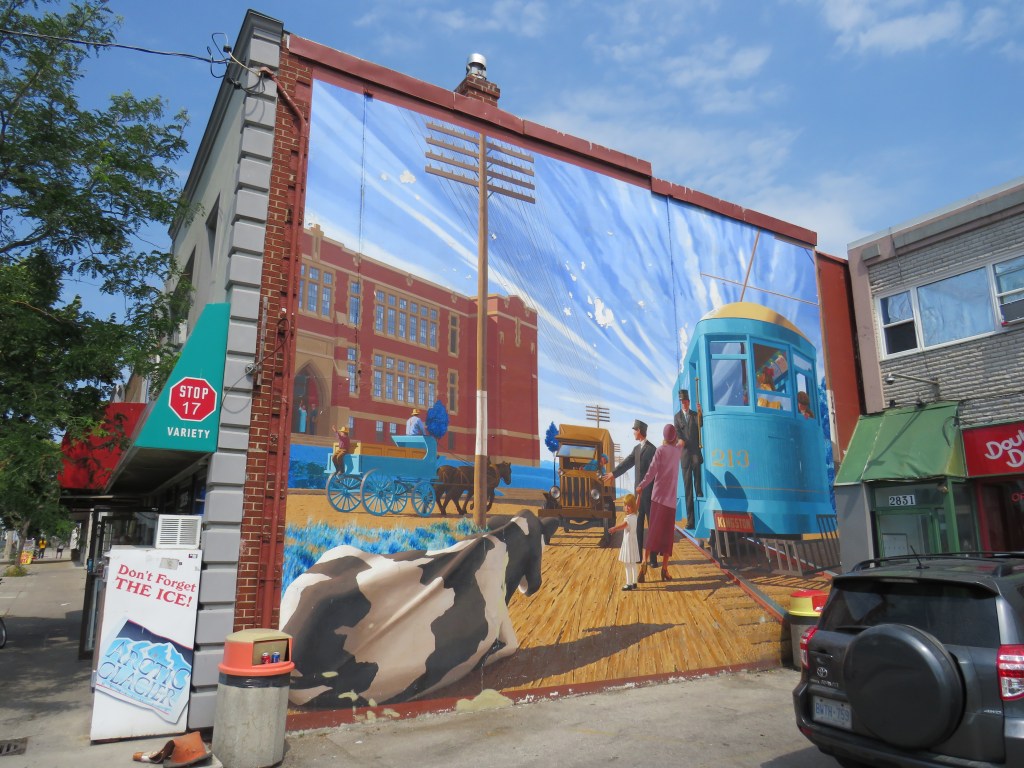
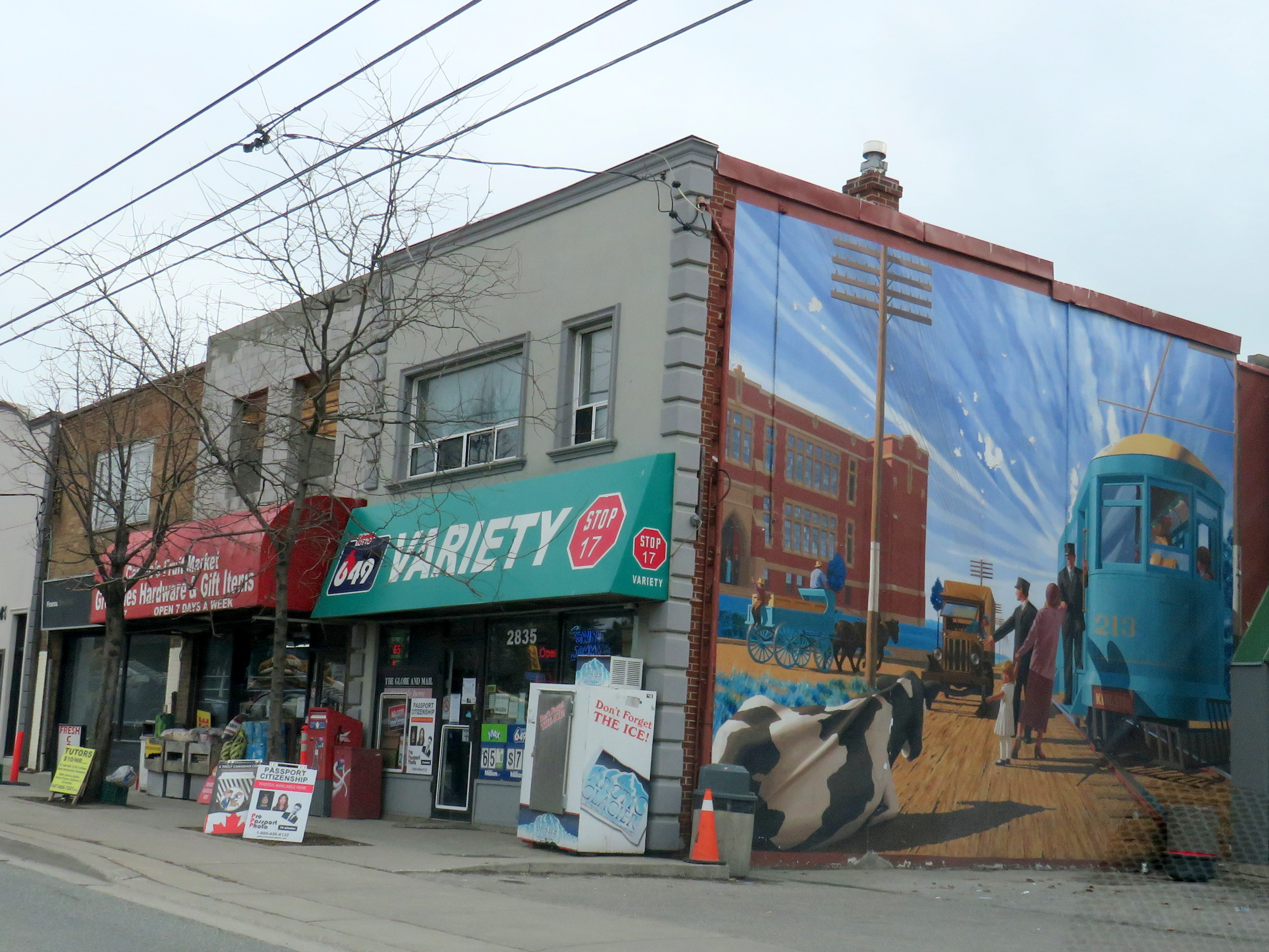
Agincourt CP Station
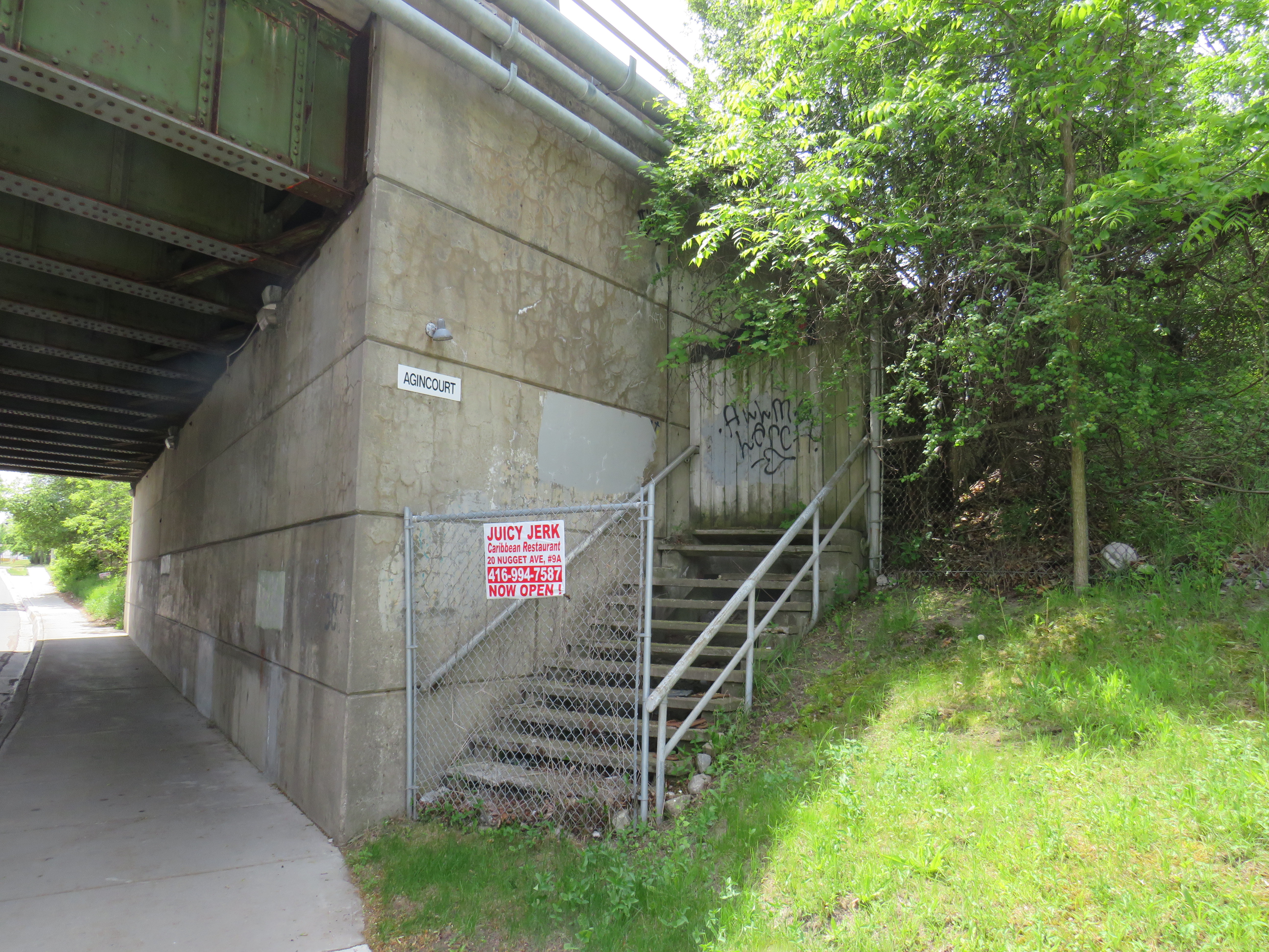
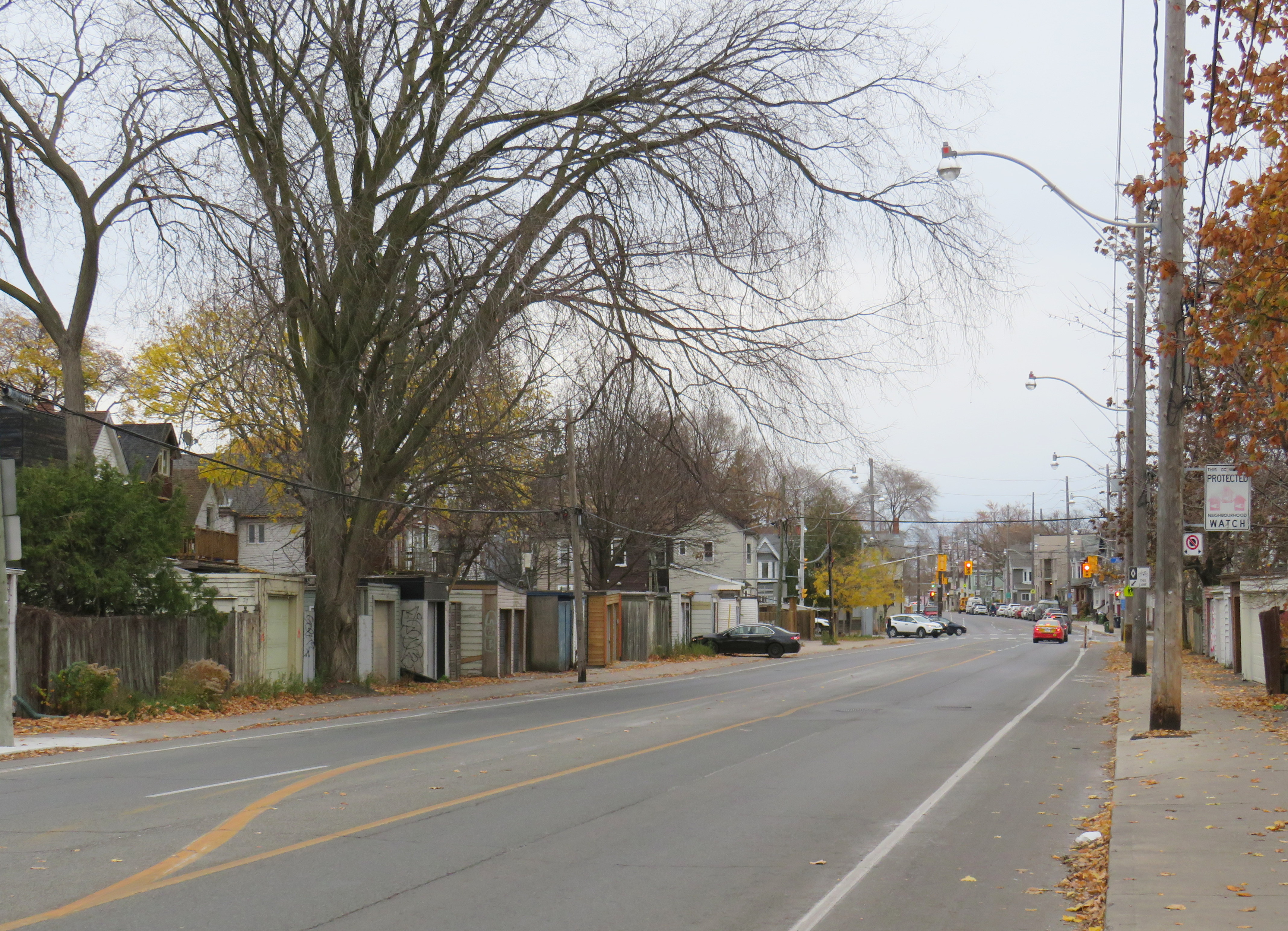
Both CN and CP had stations called Agincourt in North Scarborough, but neither of the historic station buildings remain. The CN station, now the location of Agincourt GO Station, was on Sheppard Avenue East near Kennedy Road, at the centre of the rural settlement. The CP station, originally built in 1884 for its Ontario & Quebec subsidiary, was farther east, located between Sheppard Avenue and Brimley Road. Though the CN station (built in 1871 for the Toronto & Nipissing Railway) was demolished in 1982, the station site remains in active use. Little remains of the CP station.
On the west side of a wide underpass on Brimley north of Sheppard, two fenced-off stairways lead to the north and south side of the CP tracks. In 1960, CP constructed a new freight classification yard in northern Scarborough; as part of that project, it built new underpasses at Sheppard, Brimley, and McCowan Road, and a large overpass for Markham Road. CP replaced the 1884 station with a smaller station building to serve its remaining passenger trains between Toronto, Peterborough, and Havelock. The station building was on the south side of the tracks, with a driveway leading off Sheppard Avenue to the station and a small parking lot, but CP built the stairways on Brimley for walk-up traffic and to provide a safe passage under the tracks between platforms.
Though the rail diesel coach service survived until the 1990 VIA Rail cuts, the station building was demolished in the late 1970s.


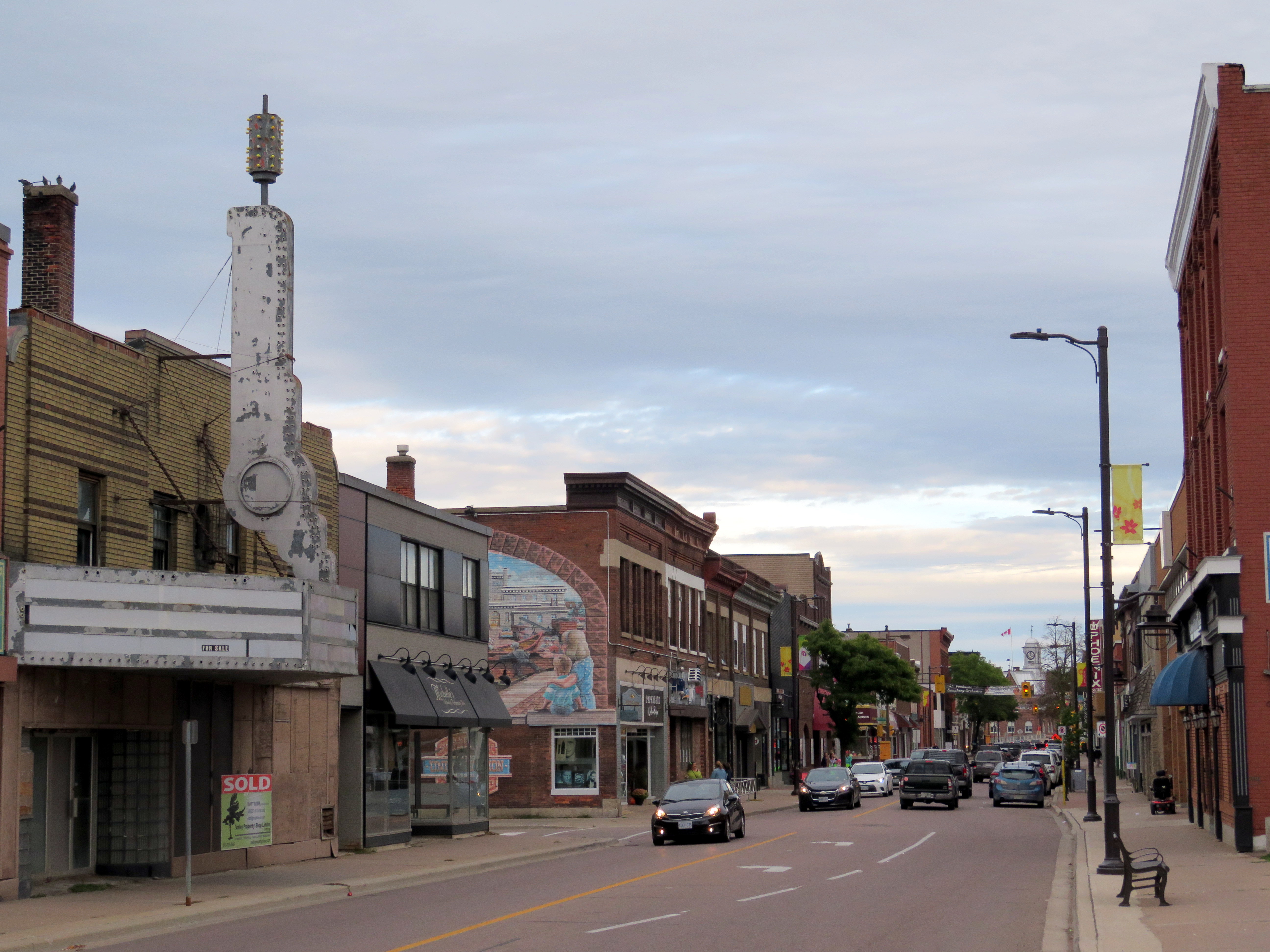 Downtown Pembroke
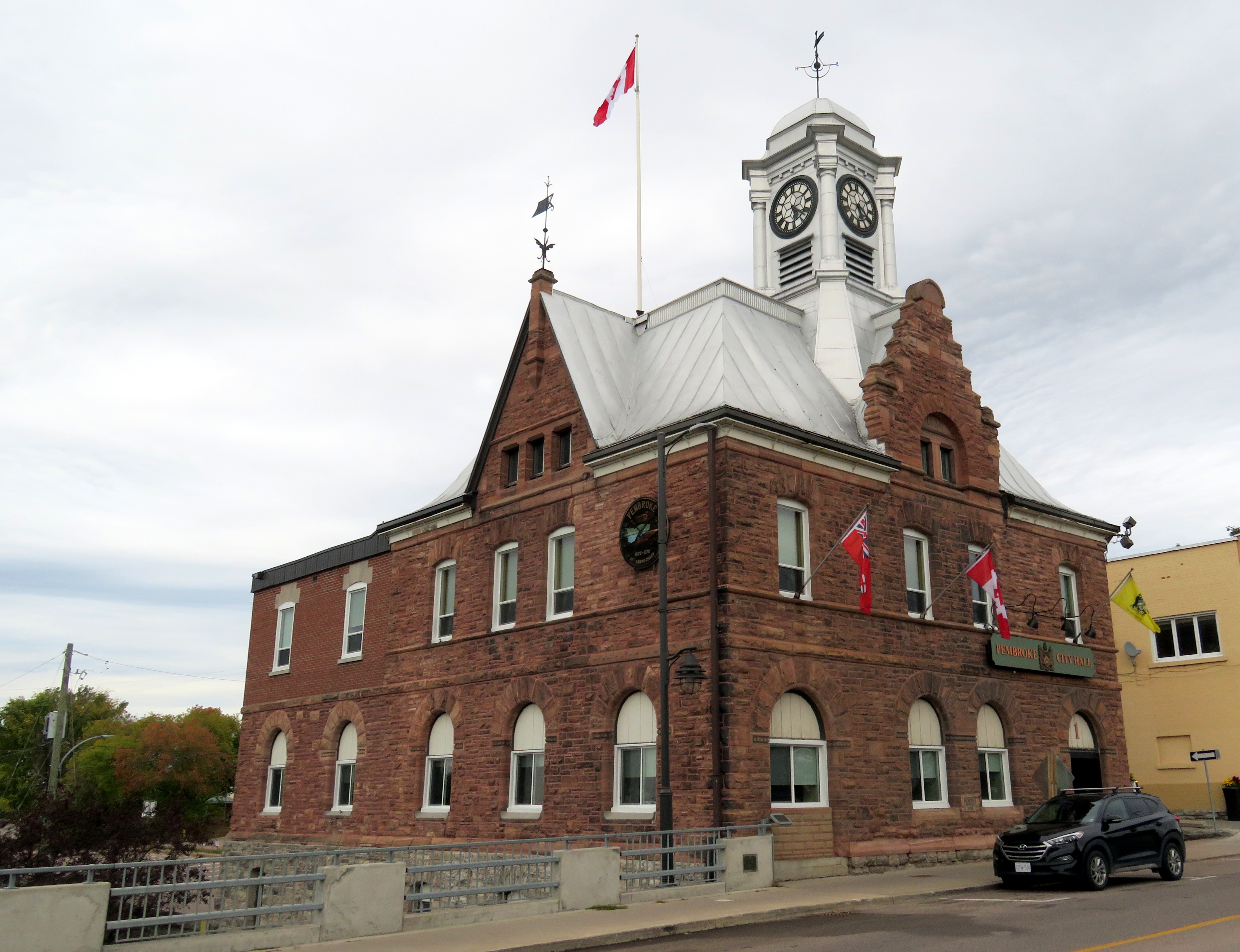
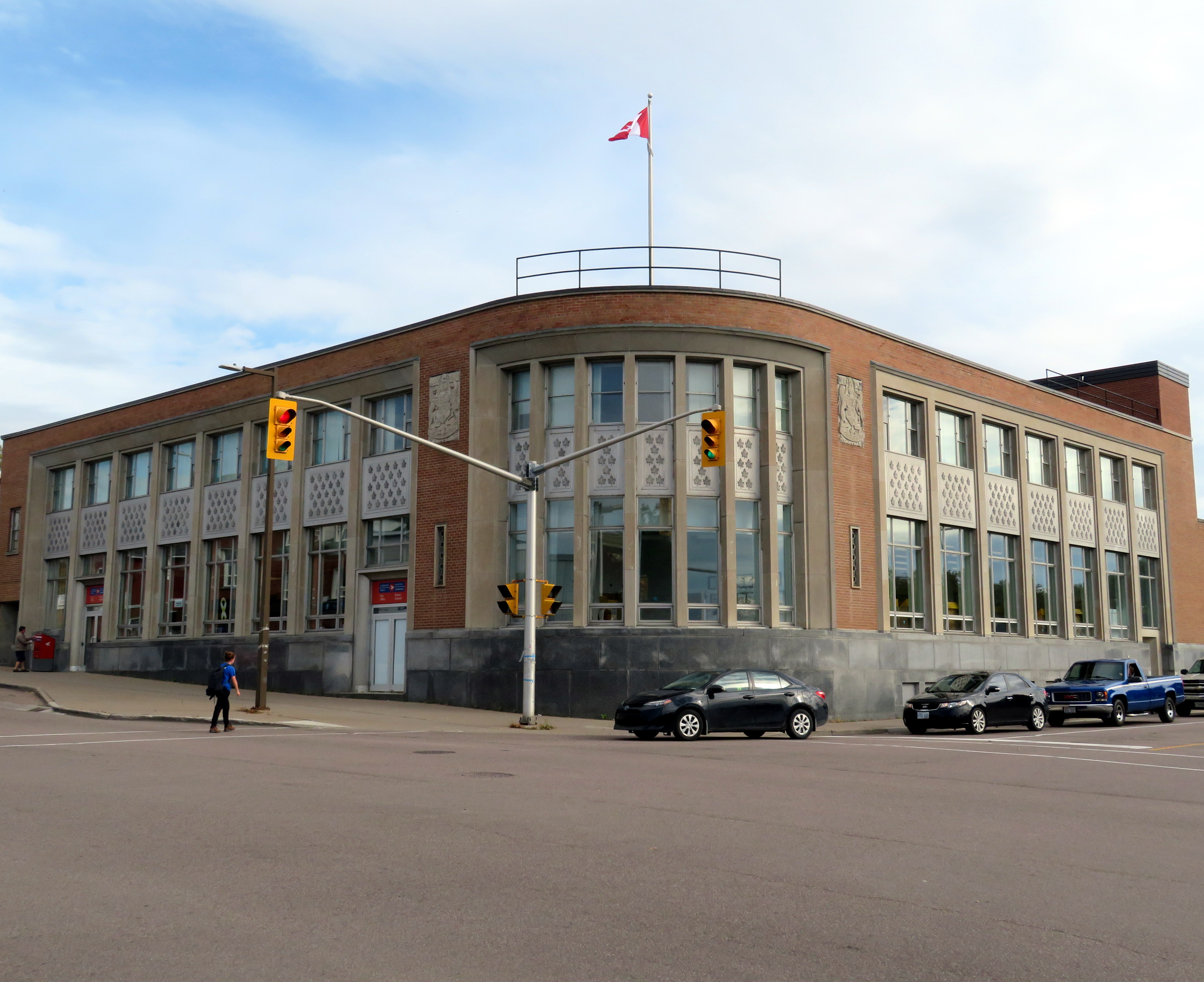
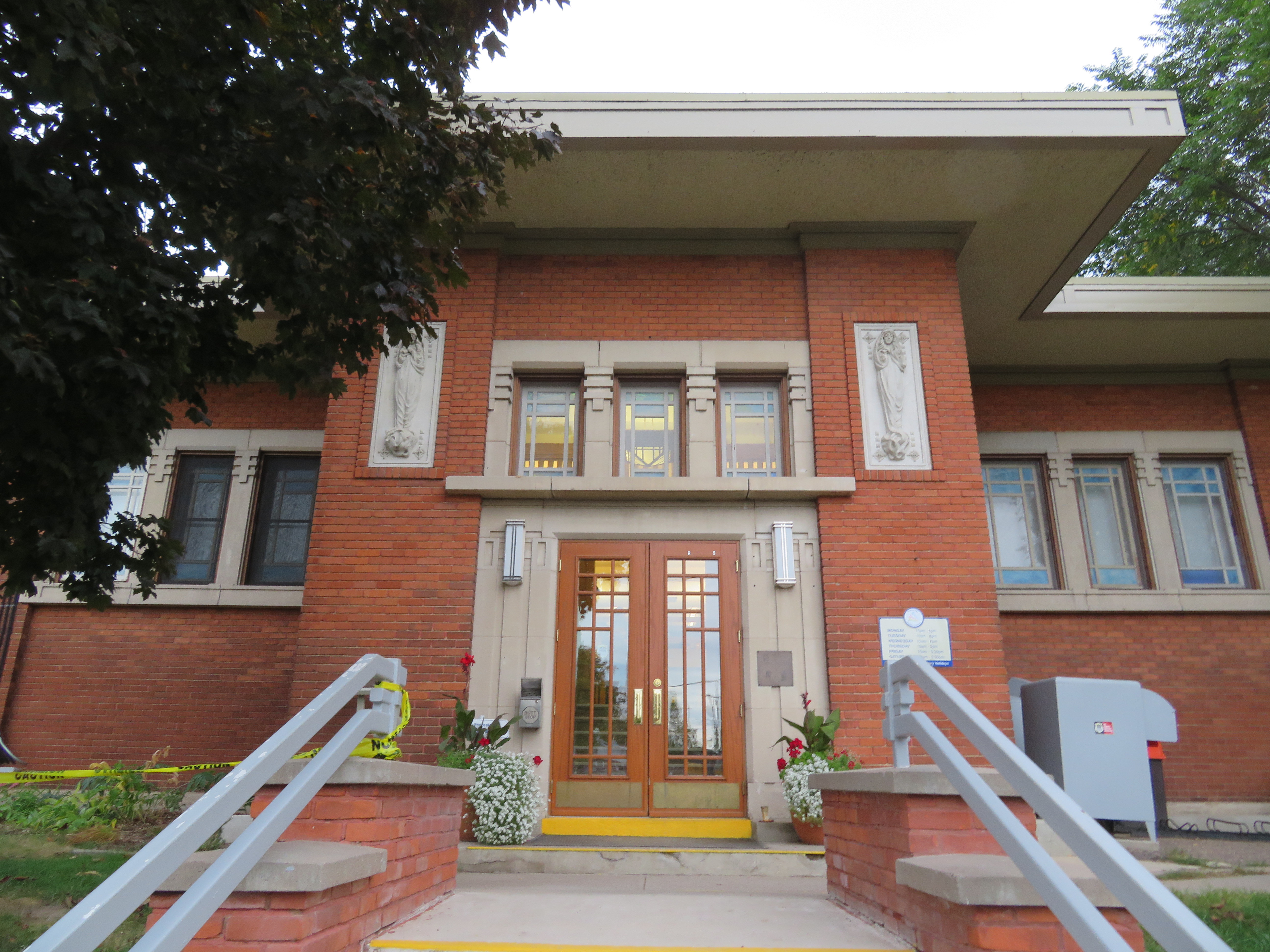 Entrance to the Pembroke Public Library
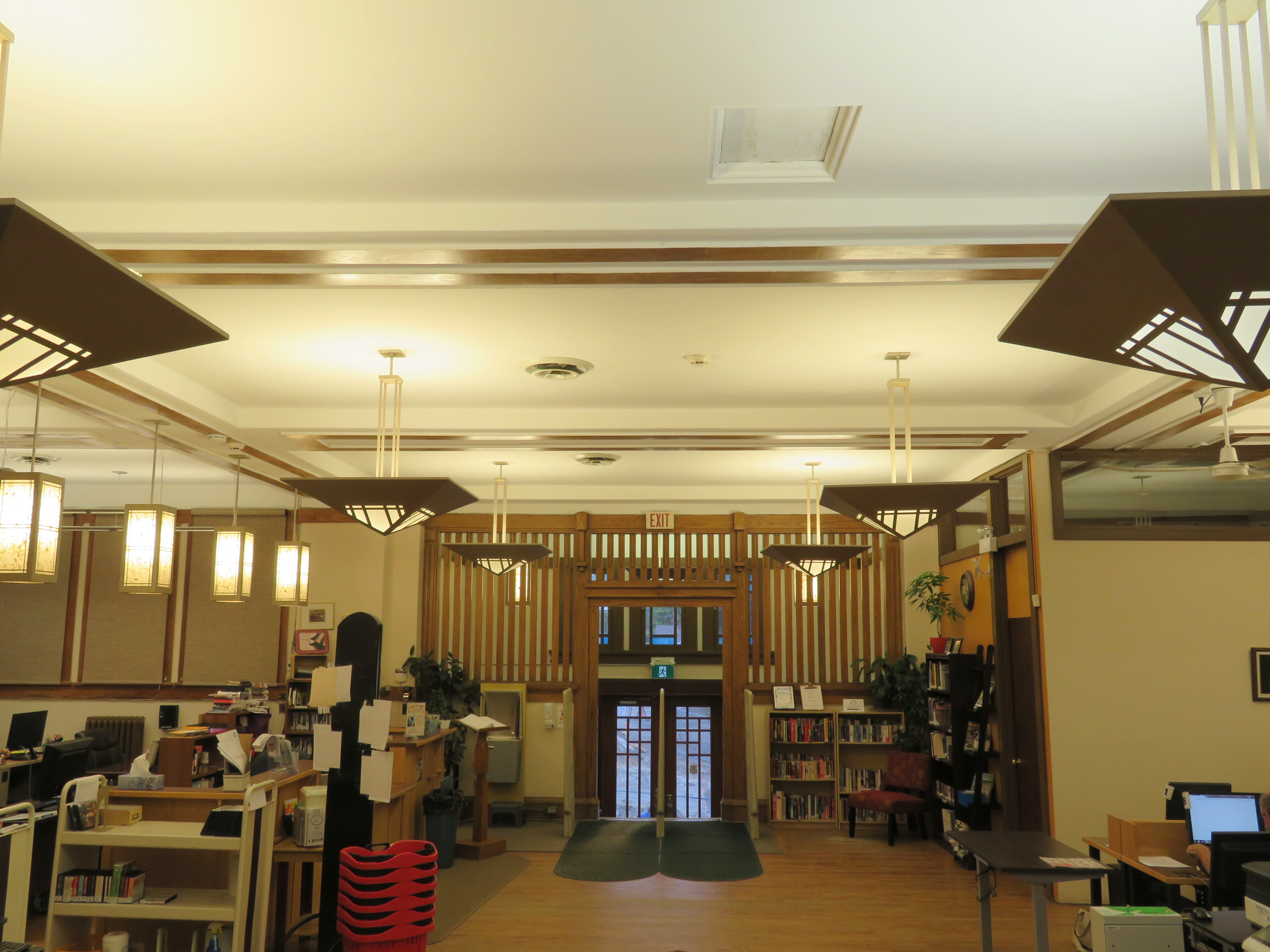 Library interior
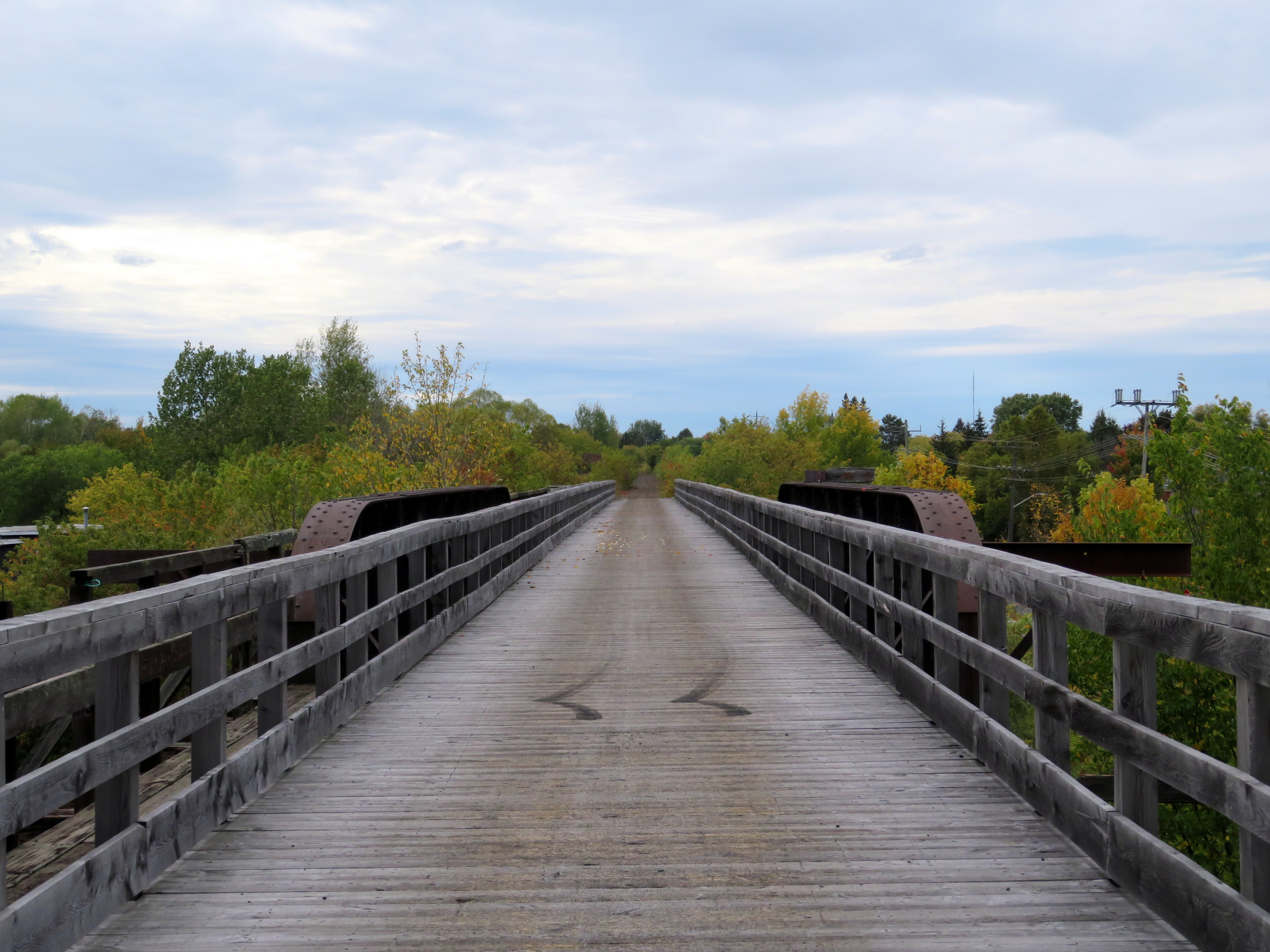 Former CN trestle, Pembroke