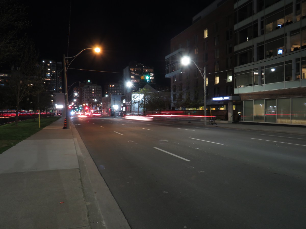
If I go will there be trouble?
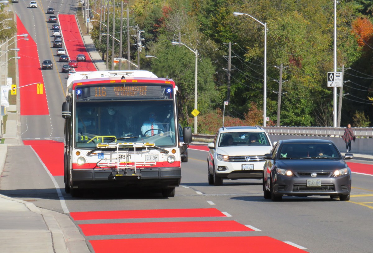
Pedestrian crosswalks should be simple and clear for everyone.
If I go will there be trouble?
Pedestrian crosswalks should be simple and clear for everyone.
Earlier this year, I wrote about a major malfunction at a new Viva Rapidway station near Downtown Richmond Hill. The Major Mackenzie station on Yonge Street was built one block south of the busy east-west arterial road; passengers taking Viva buses were forced to walk from Major Mackenzie Drive south to the intersection of at […]

A round trip from Toronto via Guelph, Owen Sound, and Barrie is the longest trip one can take using only local and regional transit services. Despite these new links, there is room for improvement.

Despite Bloomington’s modern design and environmental features, it does not support contemporary demands for sustainable development or transportation.

Frustrated by Metrolinx’s responses to my questions about pedestrian safety at the northern terminus of the Hurontario LRT, I submitted an Access to Information request to the provincial agency to find out more.
Ontario’s newest bus stop — a truck stop on the southern edge of London — may also be its worst.
In the 1950s, the TTC numbered its bus and trolley coach routes in a systematic fashion. But with rapid growth in the 1960s and 1970s, that scheme came to an end.
Street lighting is an important, yet overlooked, part of any city’s standard infrastructure. For over seventy years, Toronto’s streets were lit with an elegant and increasingly unique streetlamp design. But modern standards and a desire for standardization will see this change, just as Toronto’s streetcars and street signs have. Toronto Hydro, which is responsible for […]
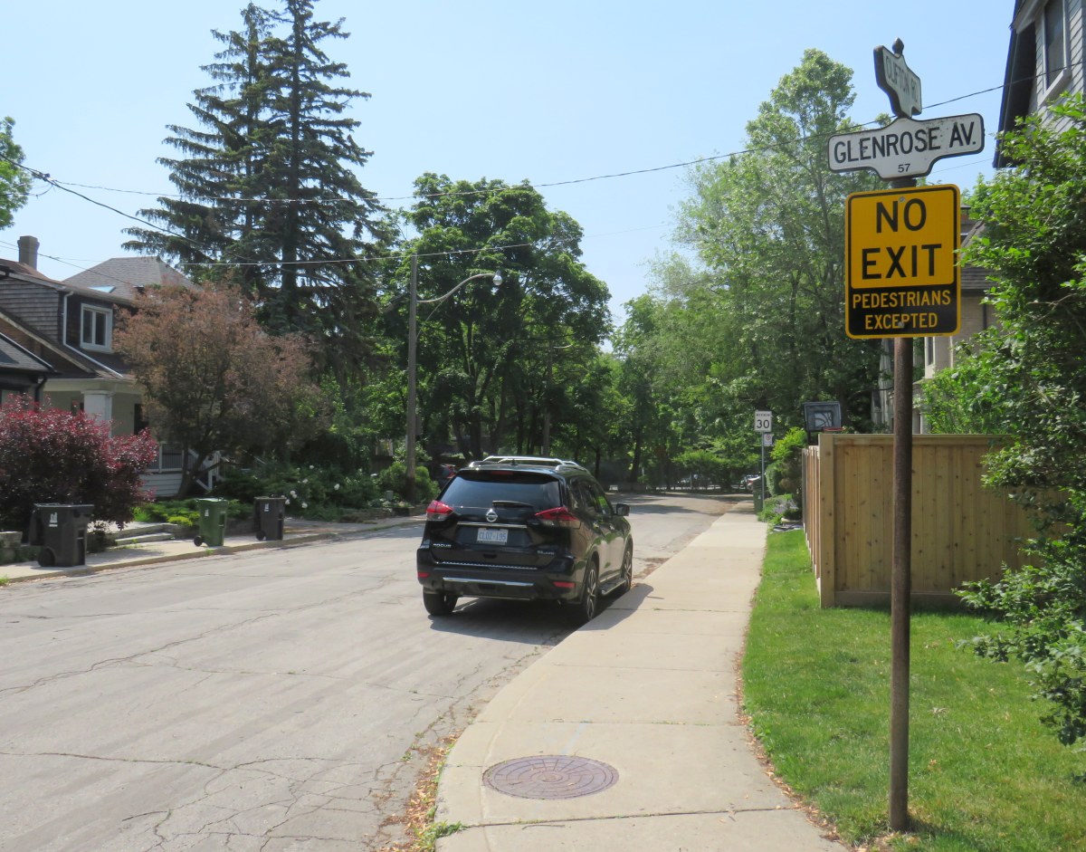
New road signs and universal sidewalk snow clearance are big wins for pedestrians in Toronto.
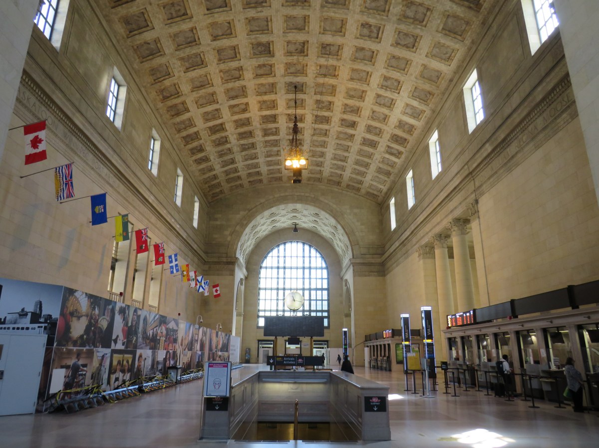
Union Station’s Great Hall is one of Toronto’s great indoor spaces. The station was constructed during Toronto’s first great building boom, in an era that began with E.J. Lennox’s Old City Hall (completed in 1899), and concluded with the completion of the Bank of Commerce Building, opened in 1931. Work on Union Station, built for […]
