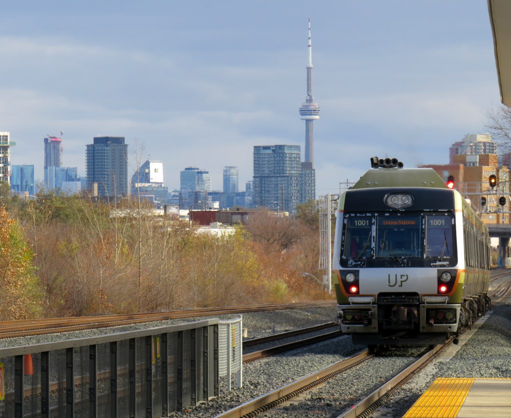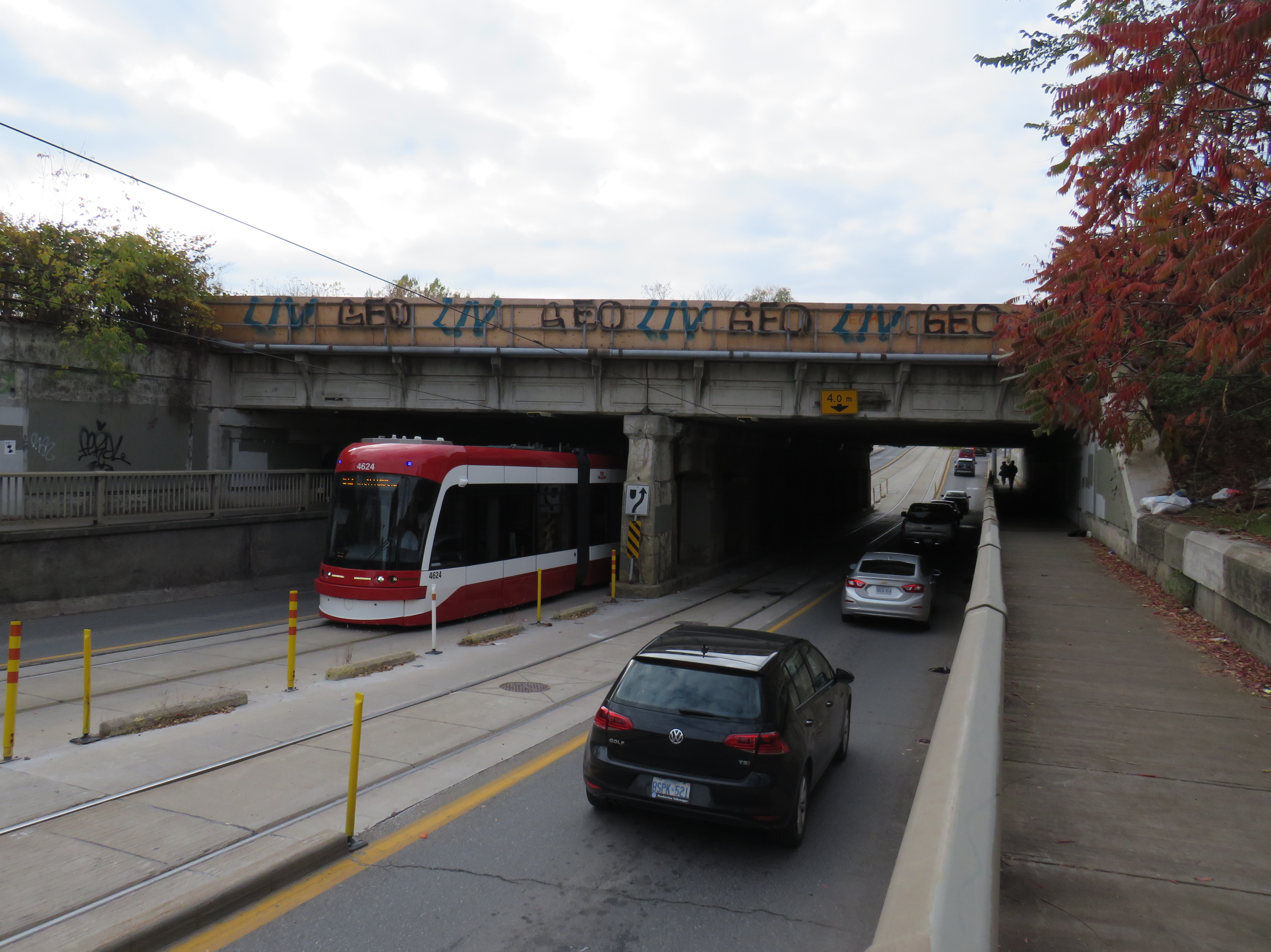

Can a brand-new light rail line outrun the local bus it replaces? Starting on Sunday, December 7, Torontonians will get the chance to find out when the new Line 6 Finch West light rail line finally opens to the public. Though built and maintained by Metrolinx, the service will be operated by TTC employees.
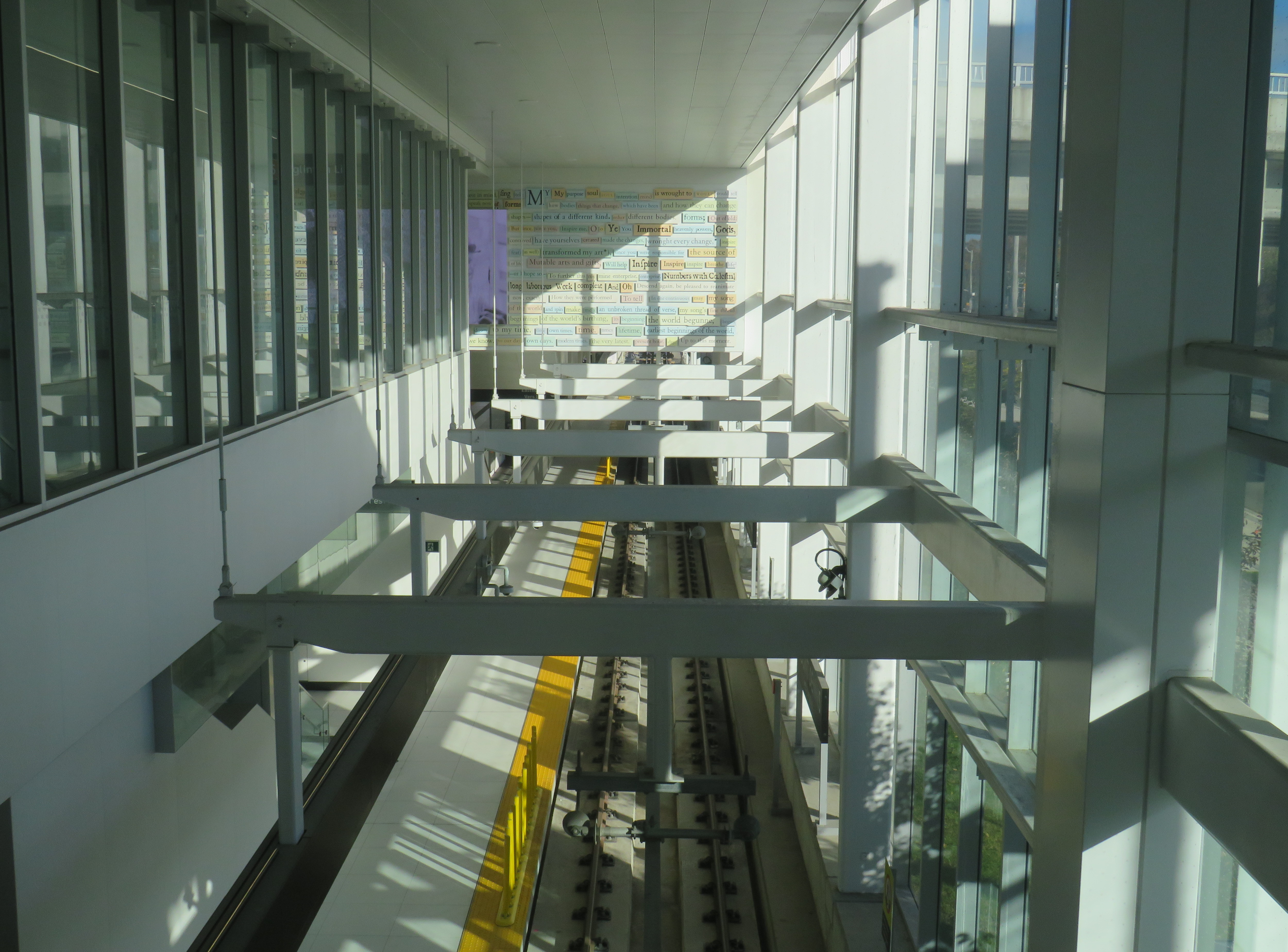
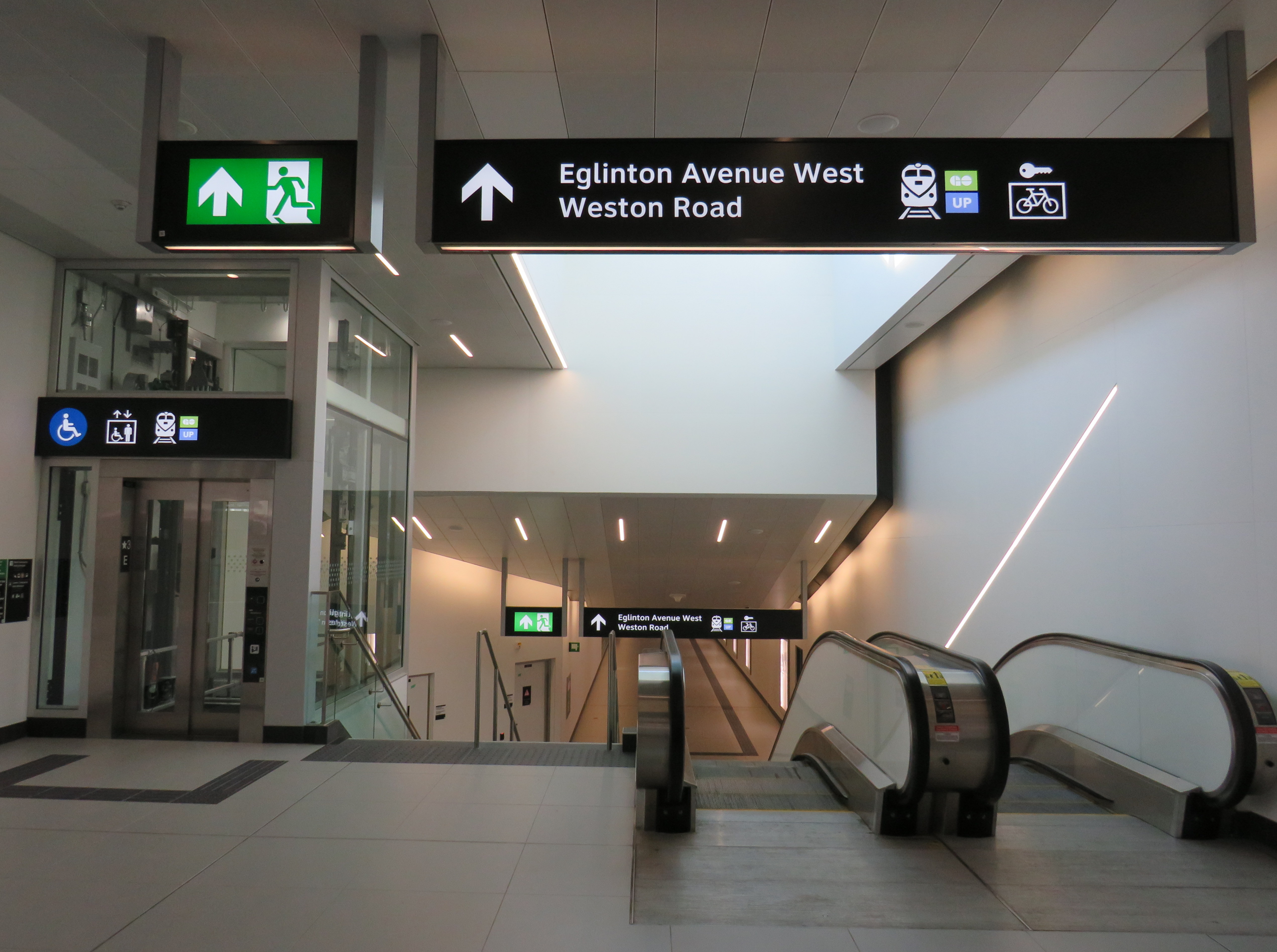
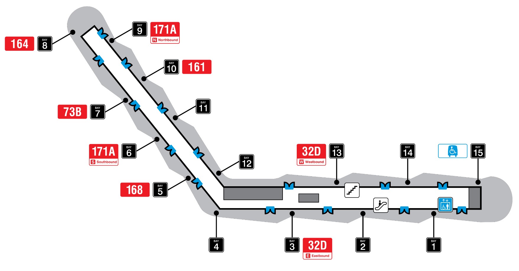
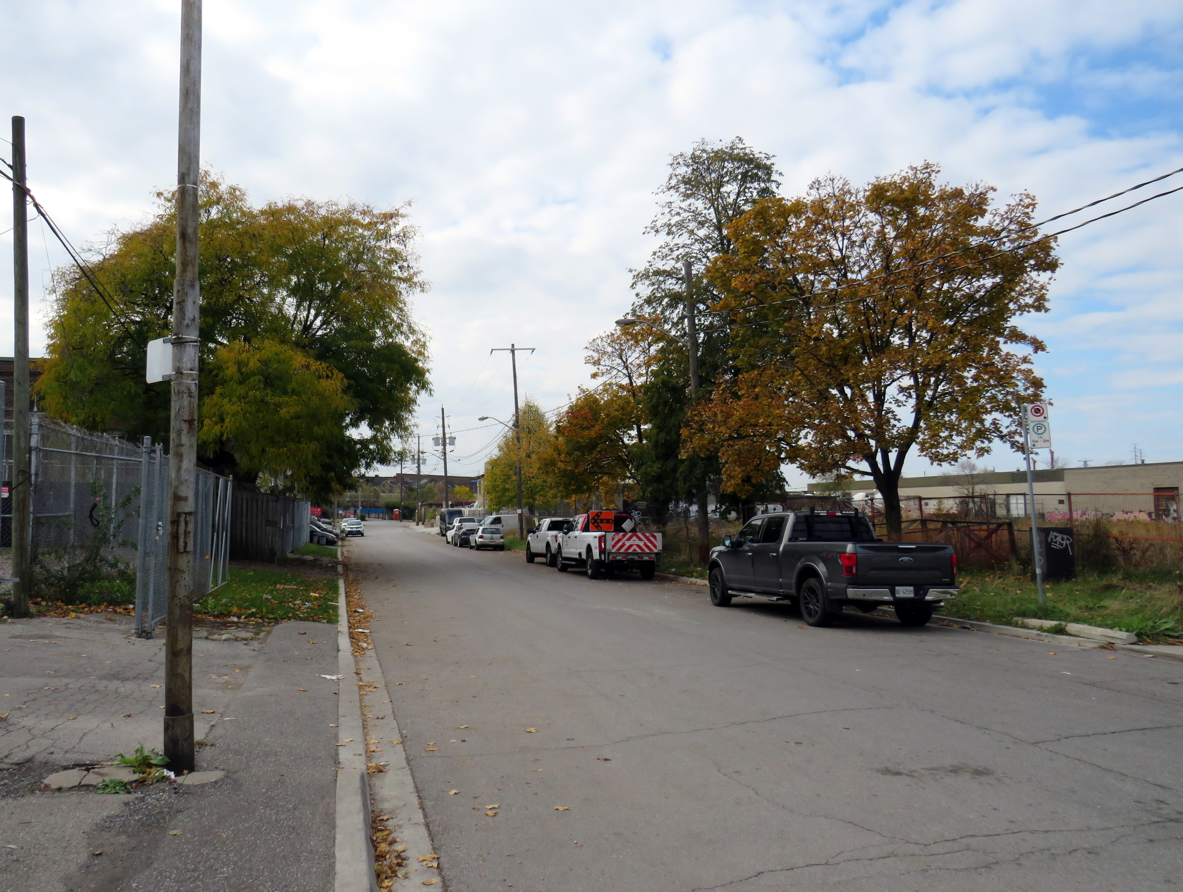
The new LRT, 11 kilometres long, with 18 stops, runs almost exclusively in a transit-only median on Finch Avenue West between Finch West Station at Keele Street in North York and Highway 27 in Etobicoke. The end terminals are below grade, with three traffic signals skipped. Otherwise, the light rail vehicles will be subject to stopping at the same traffic lights as all other cars, trucks, and buses.
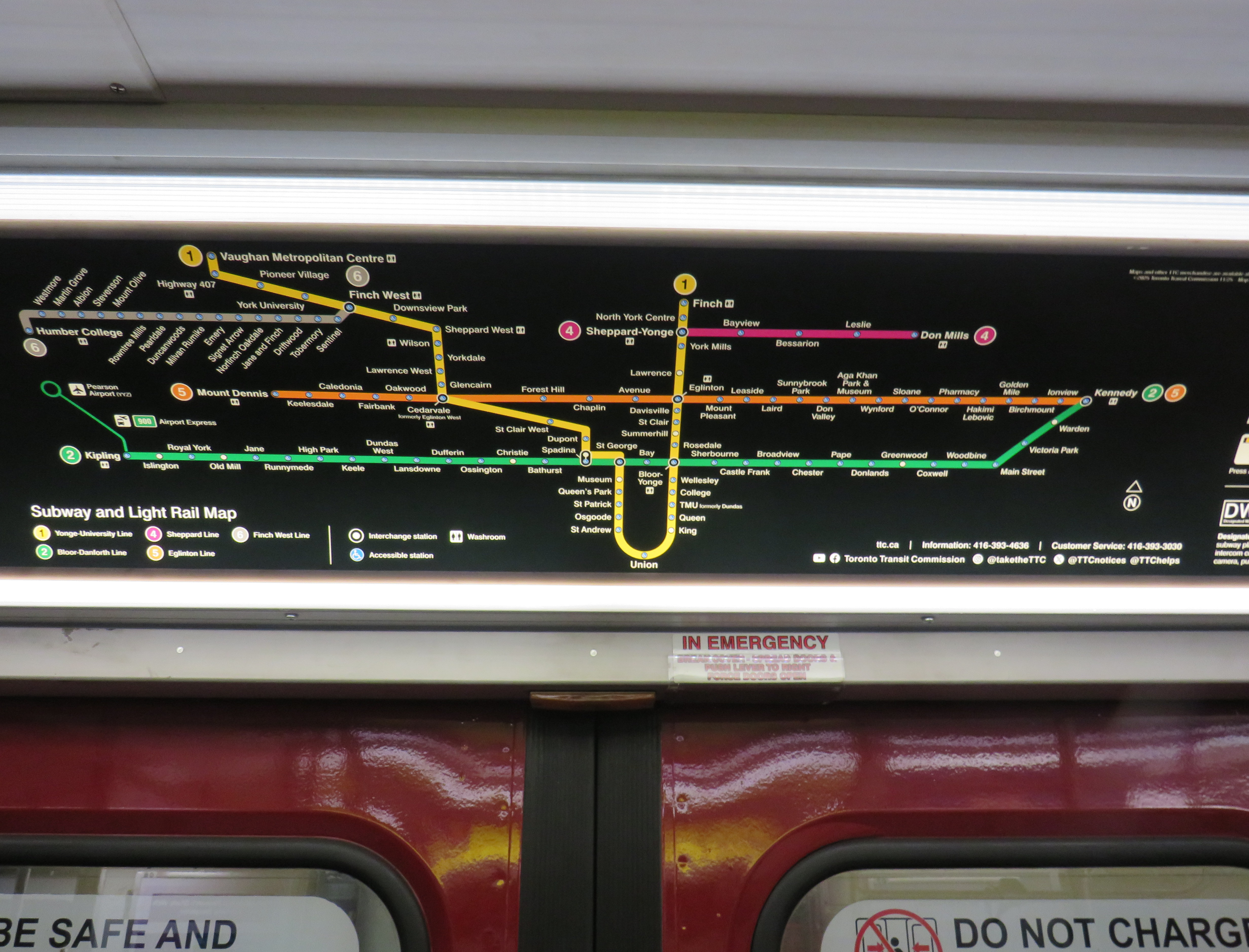
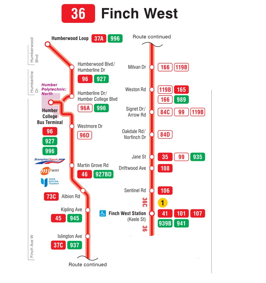
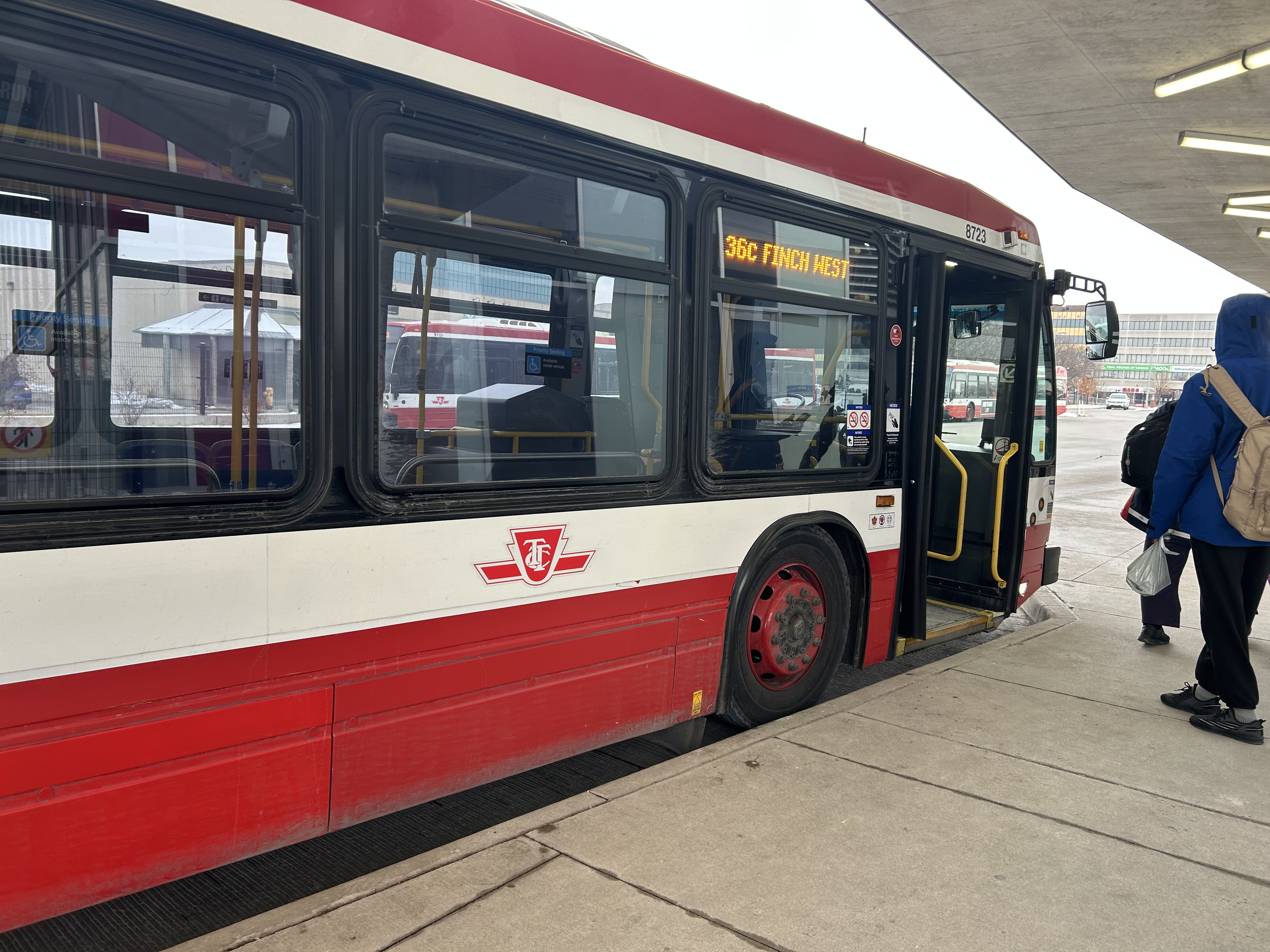
For the last few weeks, Finch West has been served by the 36C bus, running between Finch West Station at Keele Street and Humberwood Loop near the Mississauga border, making a stop at the Humber College bus terminal. A separate 36 Finch West bus continues east from Finch West Station to Finch Station at Yonge Street. There will only be eight fewer stops on Line 6 than there bus stops between Finch West Station and Humber College; apart from overnight service, there will be no parallel local bus serving the corridor.
Without limited stops and signal priority, the new light rail line will not achieve any real time savings. On his website, transit advocate Steve Munro notes that the end-to-end time of the new Line 6 LRT is scheduled for 46 minutes, consistent across all operating time periods. The 36C’s fastest round trip times, late evenings and early Sunday mornings, is between 79 and 82 minutes, or 40-41 minutes one way on a slightly longer route.
To see this for myself, I visited Finch Avenue West and rode the 36C both ways between Finch West and Humber College. Wednesday, December 3 was an overcast and cold day, with the daytime high temperature hovering around the freezing mark. But the roads were clear and dry, with no collisions and little construction work in the way of traffic on Finch; conditions couldn’t be any better for early December.
Here were the times for the two buses I took. I started timing the runs as soon as the bus doors closed and departed the originating stop; waiting times at the initial stops were not included.
TTC Route 36C travel times on Wednesday Dec. 3
| Eastbound (read down) | Stop/station | Westbound (read up) |
| 12:07 PM (dep.) | Humber College bus loop | 1:50 PM (arr.) |
| 12:11 | Westmore Dr. | 1:37** |
| 12:13 | Martin Grove Rd. | 1:24 |
| 12:18 | Kipling Ave. (Mt. Olive) | 1:29 |
| 12:20 | Islington Ave. (Rowntree Mills) | 1:19* |
| 12:28 | Weston Rd. (Emery) | 1:11 |
| 12:33 | Arrow Rd./Signet Dr. | 1:09 |
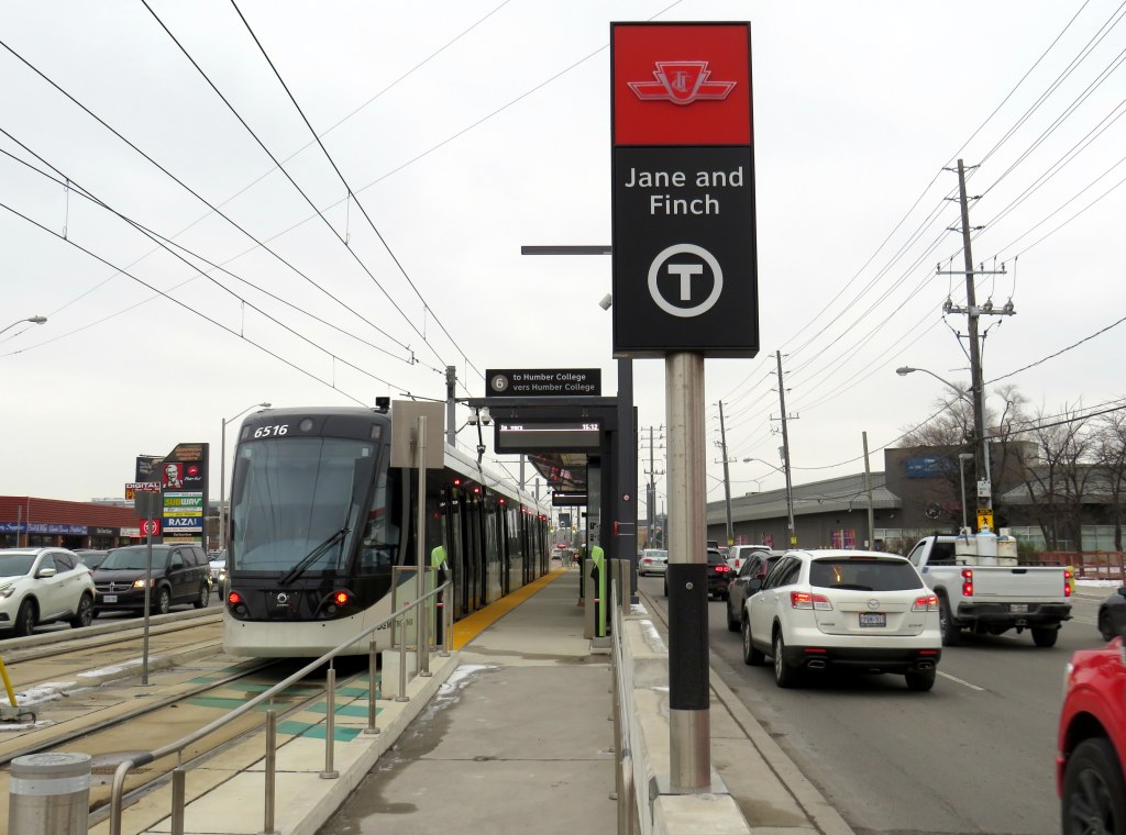
| 12:38 | Jane and Finch | 1:04 |
| 12:42 | Tobermory Dr. | 1:01 |
| 12:44 | Sentinel Rd. | 1:00 |
| 12:51 PM (arr.) | Finch West Stn. (bus terminal) | 12:57 PM (dep.) |
| 44 minutes | Total time | 53 minutes |
** At Westmore Drive westbound, the operator left the bus with twelve passengers on board to order coffee at a nearby Starbucks, resulting in a second delay of nearly ten minutes
The eastbound departure, leaving Humber College at 12:07 PM, made it to Finch West Station in 44 minutes, two minutes faster than the scheduled LRT trip. This bus, an articulated (18-metre) vehicle was relatively busy, with a few standees between Jane Street and Finch West Station, and most en route stops were made. There were no unusual delays; just some traffic near Highway 400; it also took two light cycles to complete the left turn from Finch to Keele approaching the subway station.
I returned towards Humber College on a different bus that left Finch West Station at 12:57 PM. For a while, this run, a standard 12-metre bus, was making exceptionally good time, with only a few passengers on board. It skipped several bus stops as no one wanted on or off until Tobermory Drive. Line 6 LRVs will stop at every station, just like the subway, even if there aren’t any waiting passengers.
At Islington Avenue there was a delay caused by a prospective passenger who rushed through a don’t walk/red light to get the bus, despite another one close behind. As the passenger was using a mobility device, the bus operator had trouble deploying the ramp because the bus had already inched ahead of the bus stop pad, ready to proceed with the green light. The driver needed to reposition the ramp and wait for the next green, which resulted in a five-minute delay.
Another delay came a few minutes later, when at Westmore Drive, just one stop before the Humber College bus terminal, the operator left the bus without notice and walked into a nearby Starbucks. After a few minutes, and seeing two other westbound 36C buses pass by, most passengers exited the open doors to flag down the next bus.
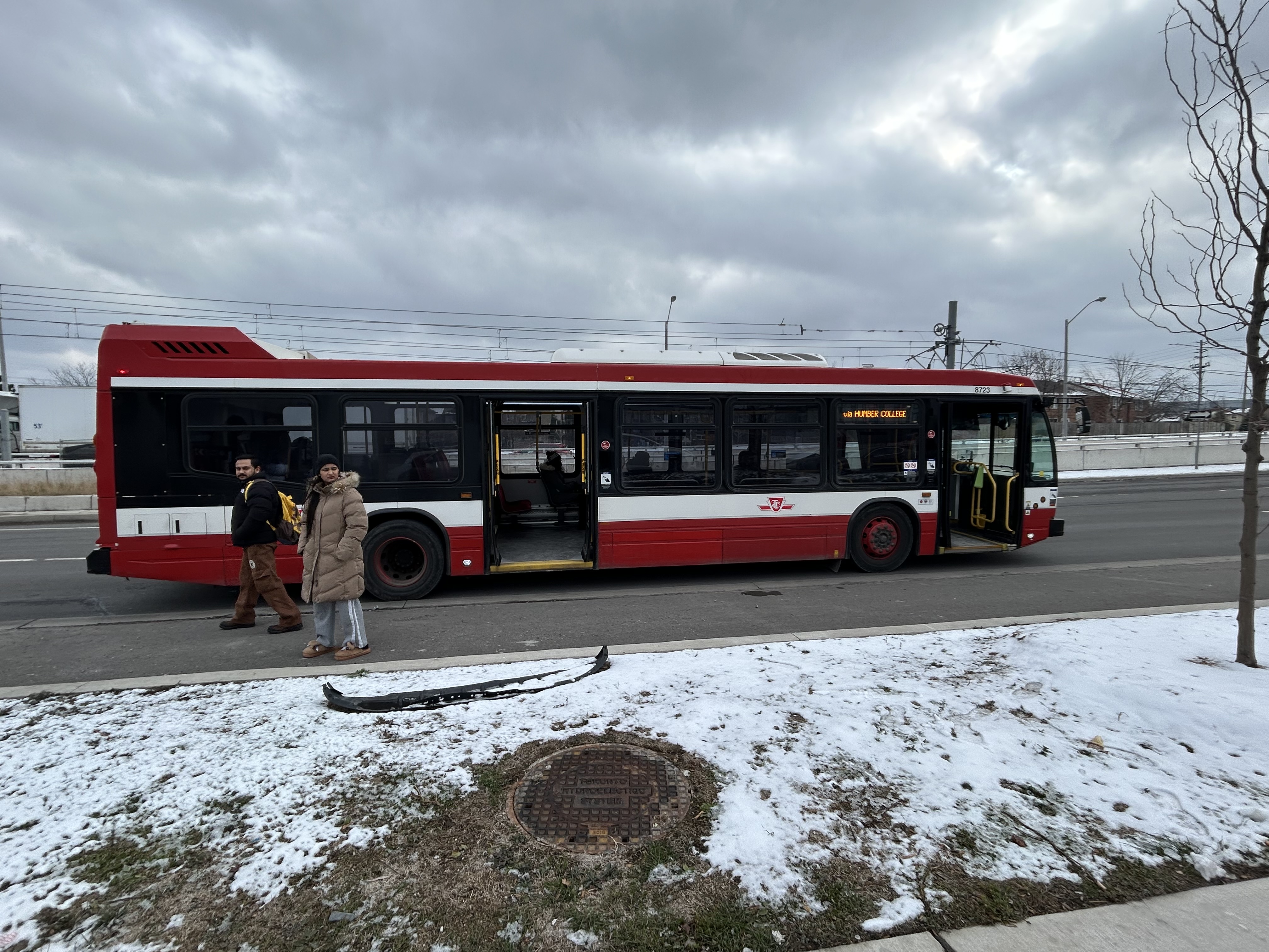
The TTC operator returned eight minutes later, and we finally arrived at Humber College Bus Terminal at 1:50, 53 minutes after departing Finch West Station. (It’s worth noting that Humber College also has a Starbucks and public washrooms in the main building near the bus loop.)
At least that’s one instance where the LRT will certainly be faster than taking the bus.
A longer walk, a longer wait
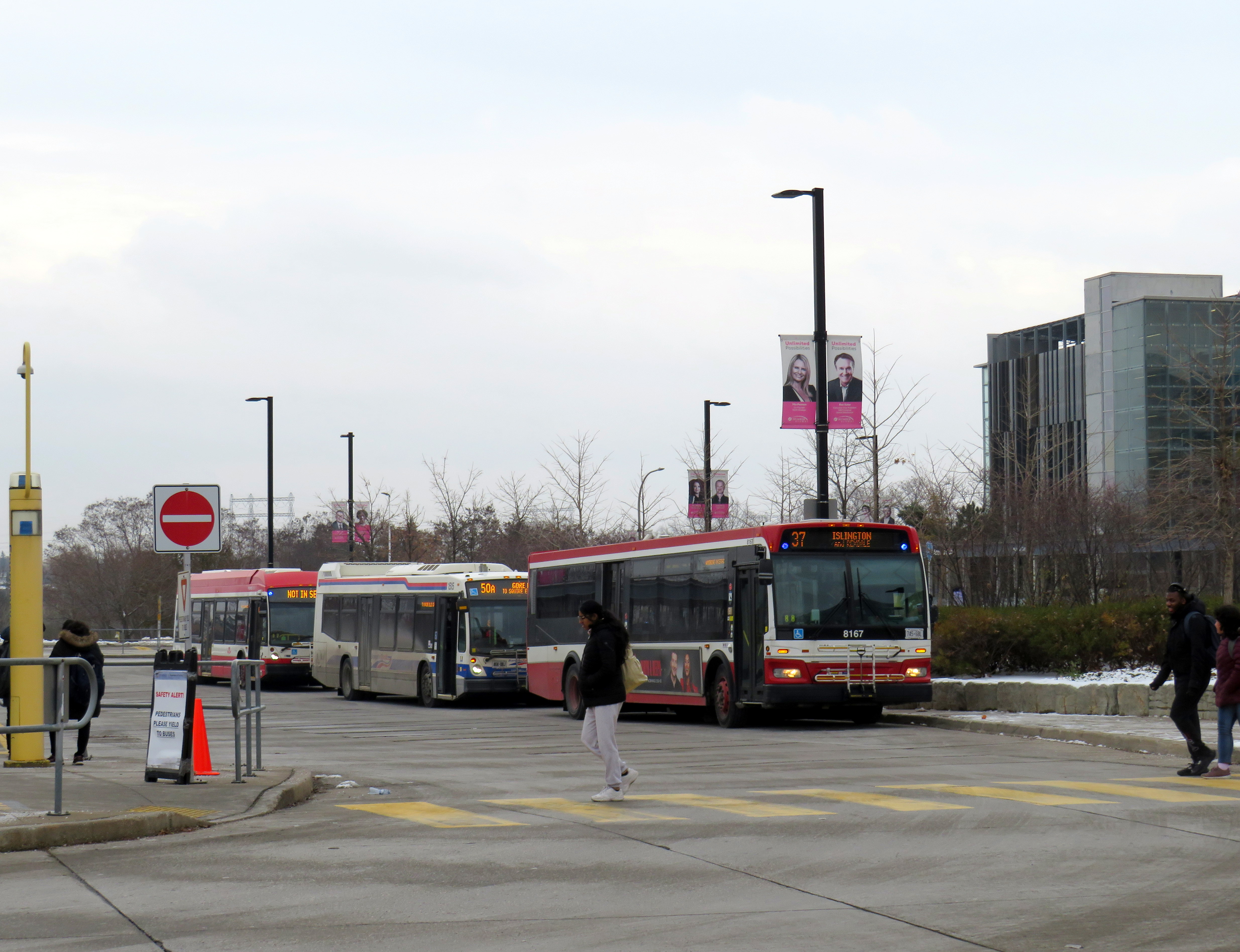
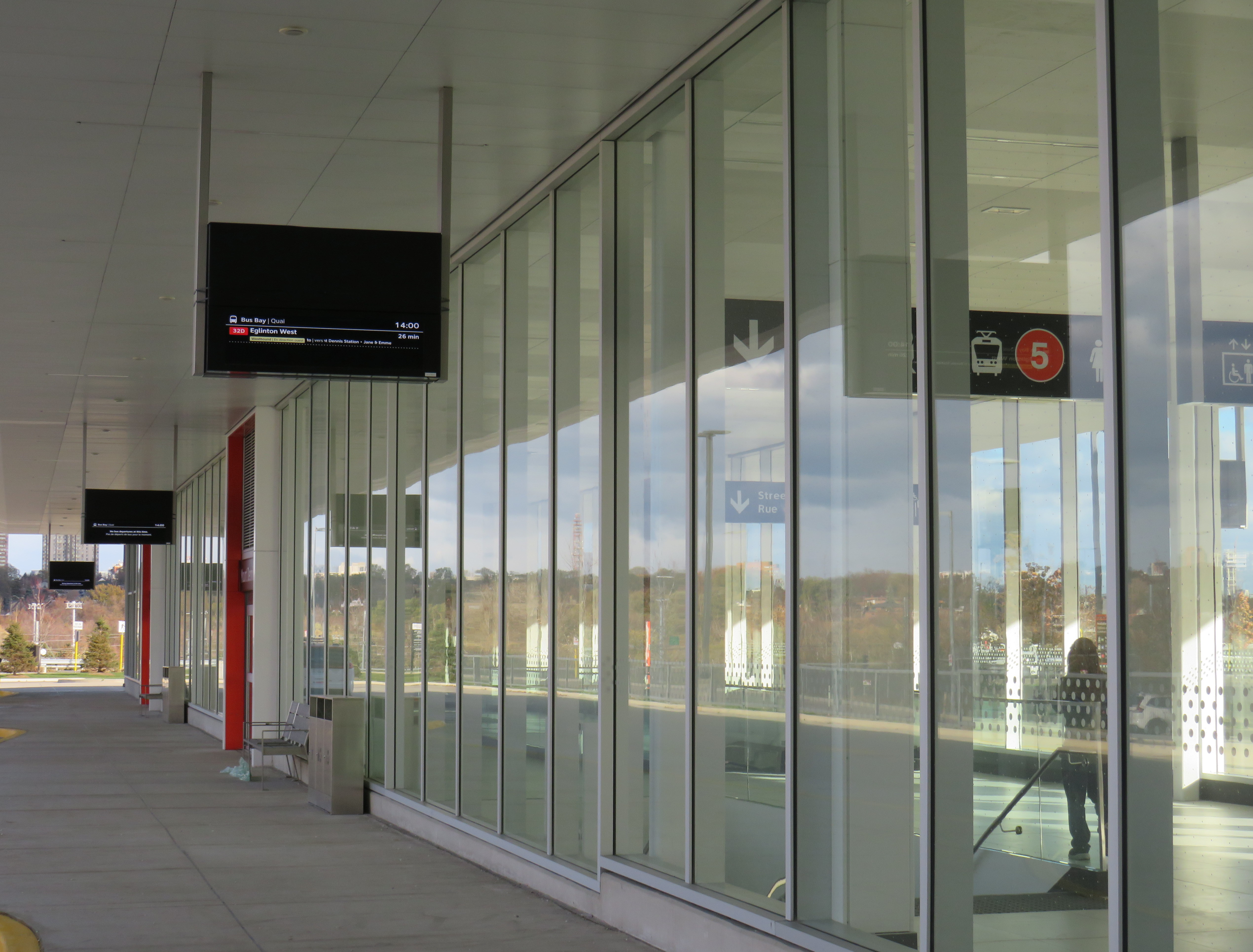
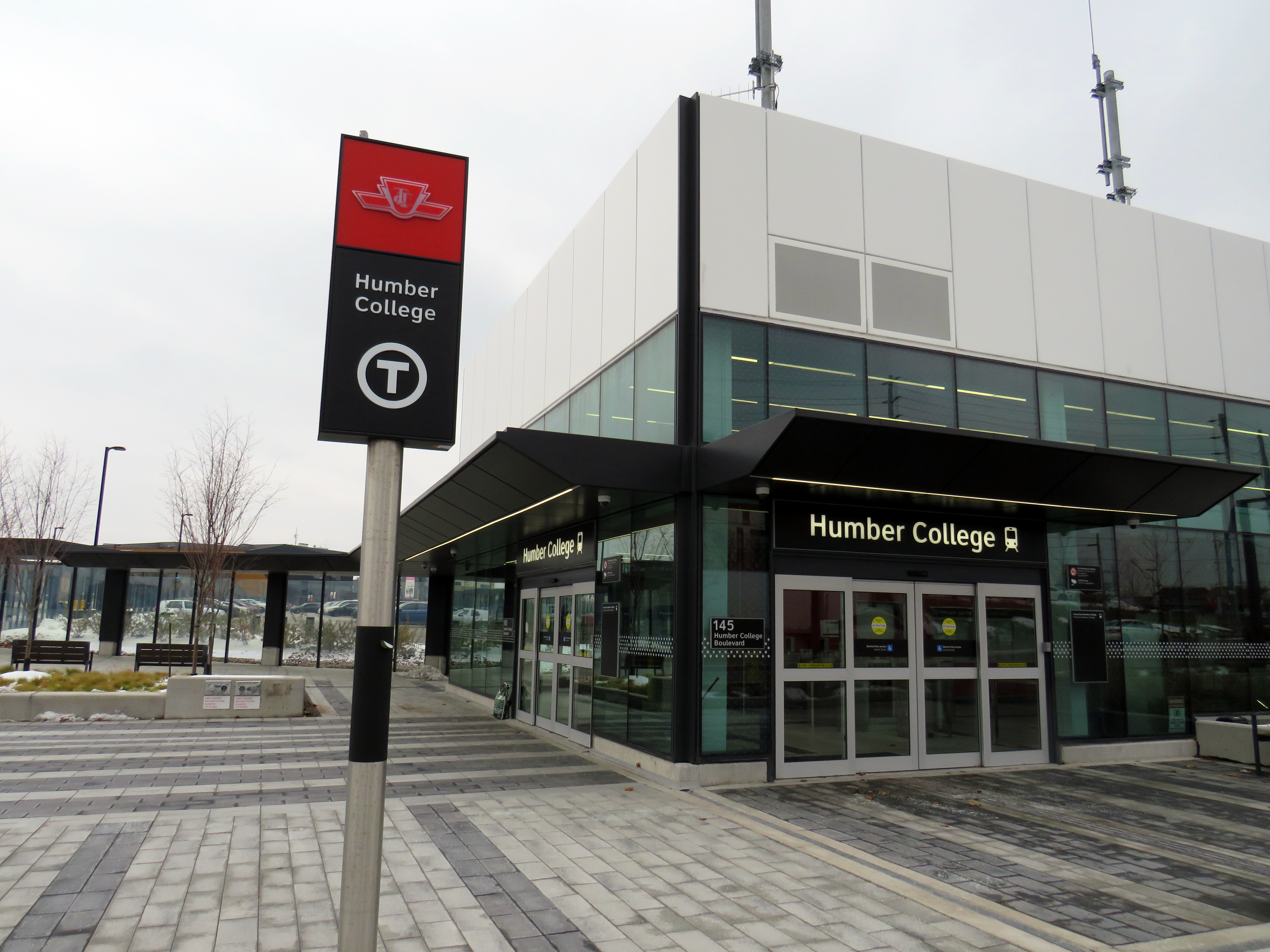
Humber College’s bus terminal serves a total of nine TTC, Brampton Transit, Miway, and YRT routes. It’s also a connection point between TTC Wheel-Trans and Peel Region’s TransHelp paratransit services. But the LRT terminal station is a five-minute walk away from the terminal, which is adjacent to several primary buildings on campus.
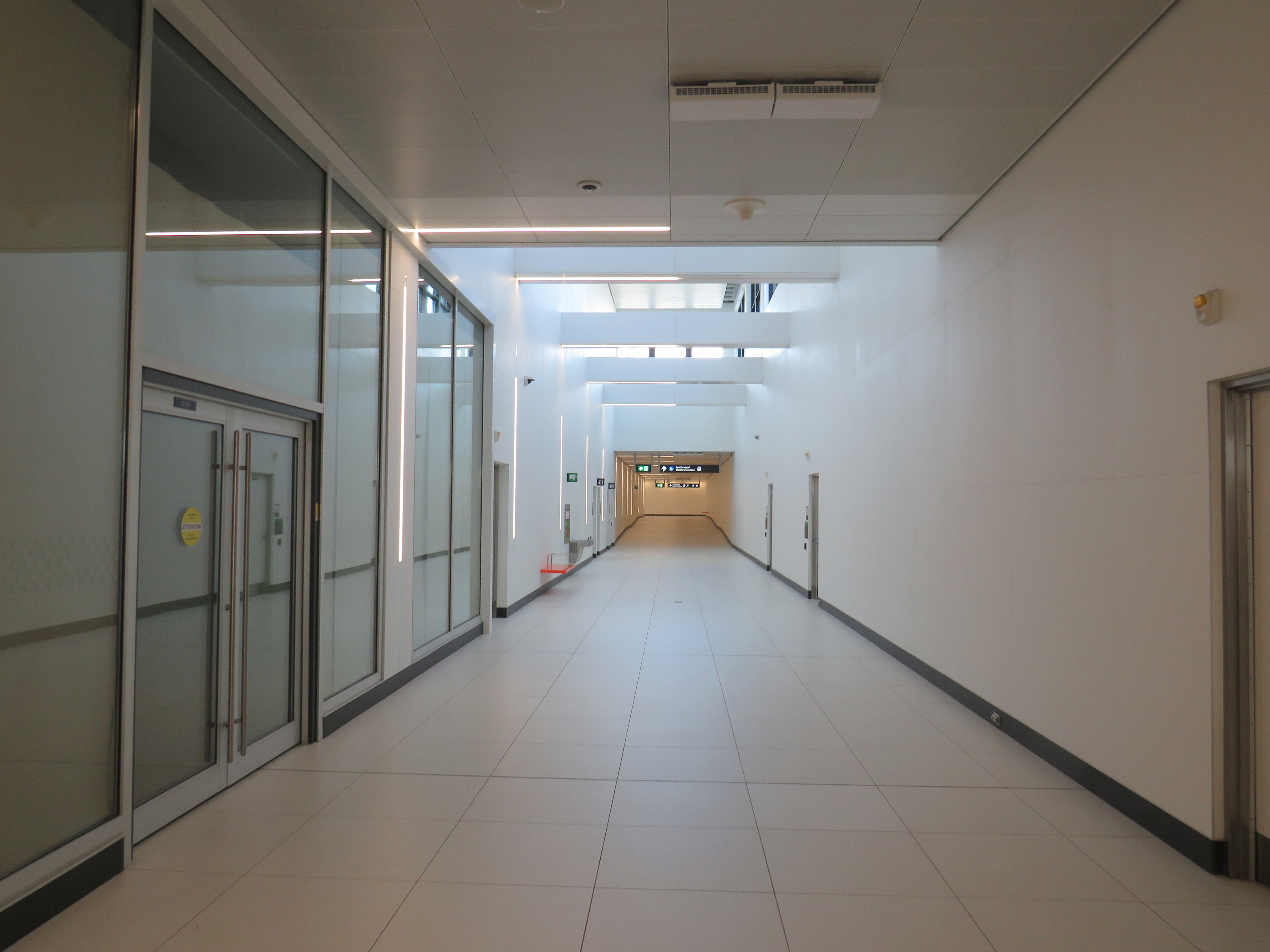
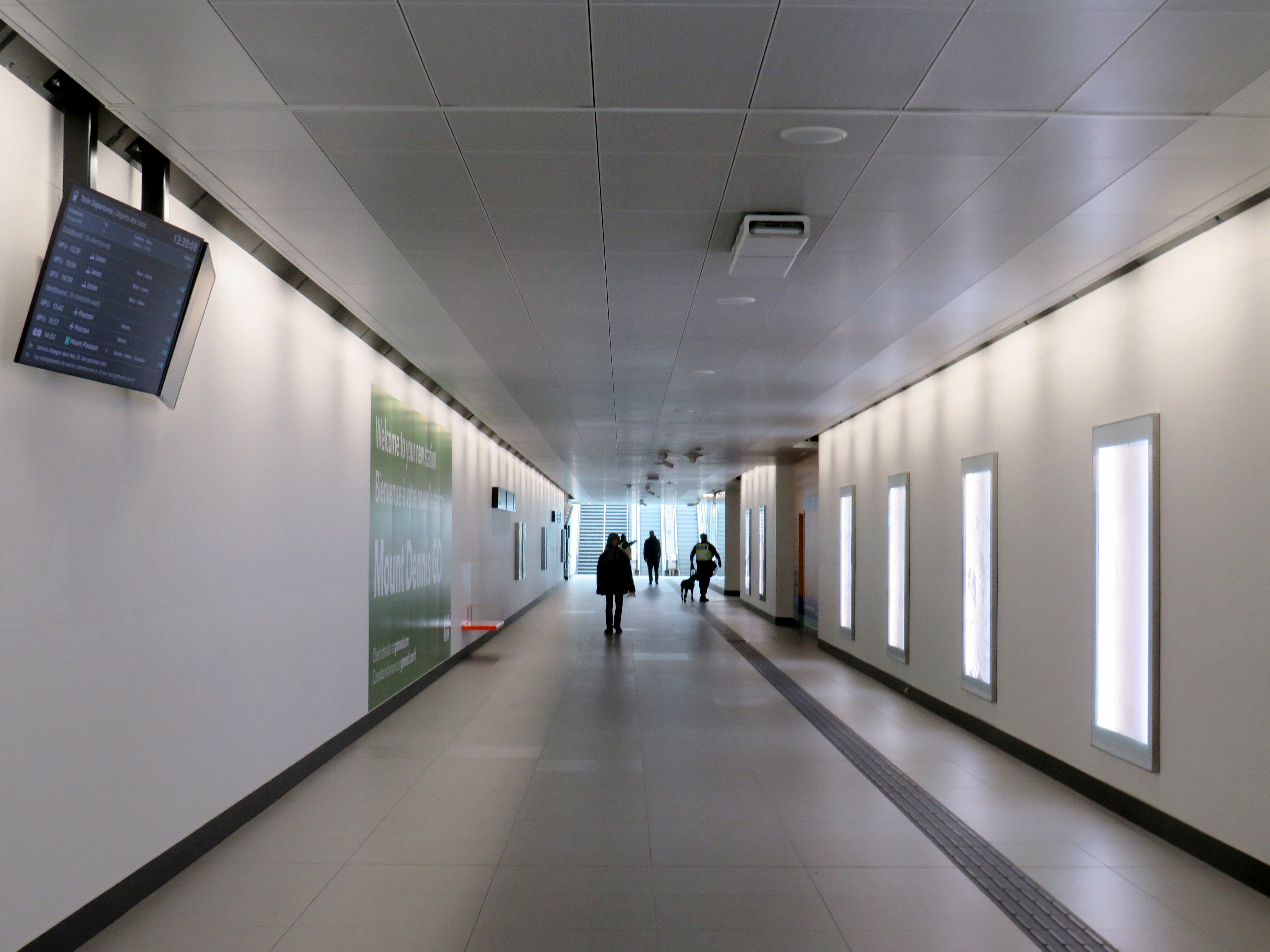
A walkway leads between the bus terminal and LRT station, with partial shelter provided by a long canopy that blocks northerly winds, but not the prevailing westerly winds. At the end of the walkway is the entrance to the below-grade LRT platforms, which are parallel to nearby Highway 27. This alignment reduced construction costs over a longer approach to the college, but it permits a future extension to the planned Woodbine GO Station two kilometres to the south and even Pearson Airport.
During weekday peak periods, the LRT will run every 6 minutes, about as frequent as the current 36C bus during weekday daytime periods. However, during off peak times, trains will only come every 10-12 minutes, resulting in longer waits. Anyone travelling from Humber College will have to factor in the longer walk and potentially longer wait time.
I will certainly go out on Sunday December 7 to celebrate the opening of this new line, which despite the unnecessarily slow speeds, will result in a more predictable and more comfortable ride, with significant capacity improvements during peak periods, especially at school dismissal times. LRT doors will line up with the platforms, making loading and unloading easier for passengers with mobility devices, strollers, or carts.
I will also go ride the LRT after the opening day crowds are done, to see how it works in day-to-day operation. There are ways to speed up the schedule: more aggressive transit priority, shorter station dwell times, quick turnarounds at the terminals with “step back” operation, schedule optimization, and I hope these are considered by Metrolinx, the TTC and the city as everyone gets used to the new transit line.
If you like my work and you would like to help out with my webhosting costs (I just had to renew my ad-free WordPress subscription), consider buying me a coffee. Thank you!