Though increasingly irrelevant to Canadians, Greyhound’s final departure leaves new gaps in Eastern Ontario. Megabus’ new Toronto-Ottawa route doesn’t meet those needs

Though increasingly irrelevant to Canadians, Greyhound’s final departure leaves new gaps in Eastern Ontario. Megabus’ new Toronto-Ottawa route doesn’t meet those needs

A new interactive map depicts Canada’s passenger rail networks in 1955 and in 1980
With the expansion of parking at Bramalea GO, why is Metrolinx eager to add another parking lot in Downtown Brampton, especially with Ryerson’s downtown plans on hold?
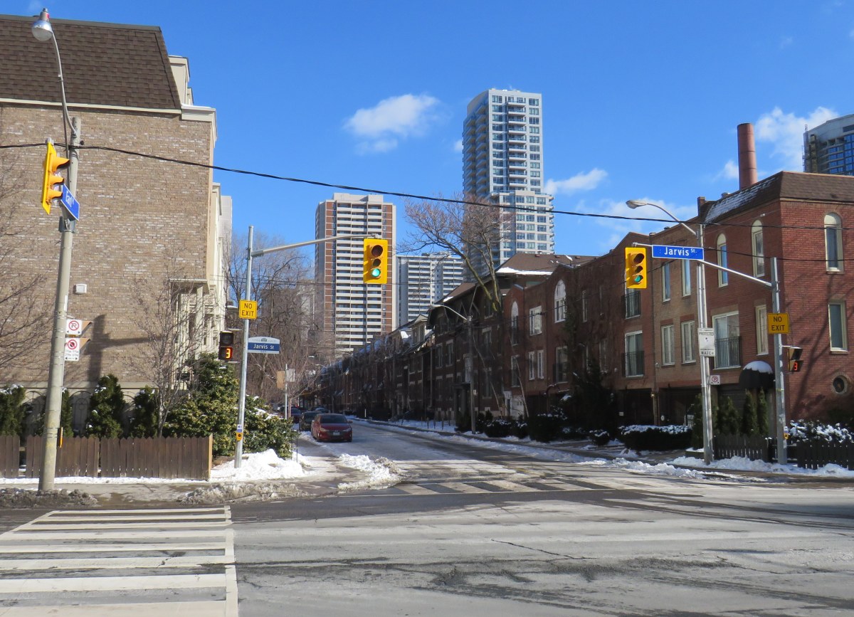
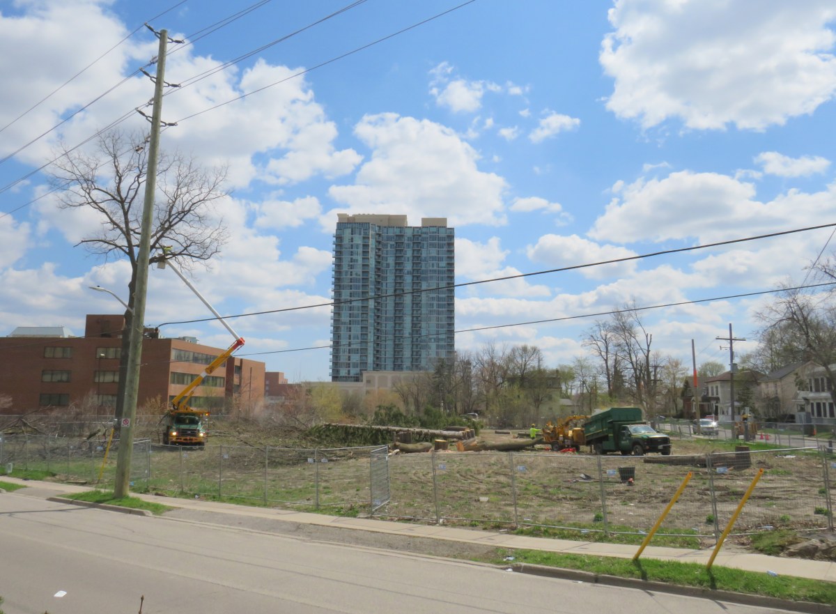
After I created a map showing where pedestrians can continue past a “no exit” sign in January, the City of Toronto is going to make changes for the better.

An interactive map depicting intercity rail services in Ontario and Quebec in 1955
A new Amazon fulfilment centre opened in northeast Toronto during the COVID-19 pandemic. Though we consider Amazon employees essential workers, a basic level of safety pedestrians and transit users is lacking.

York Region’s latest bus rapid transit project has a major flaw at Major Mackenzie Drive in Richmond Hill
Last week, Dylan Reid and I, both co-founders of Walk Toronto, decided to create an inventory of all instances in the city where “No Exit” signs do not apply to all road users. Though these signs are required under traffic codes and regulations, they do not reflect that in many cases, there is an exit […]

It’s worth wondering why Toronto has a street named after a Scottish politician who had nothing to do with its history.

Brewers Retail had an interesting location strategy, especially in Northern Ontario.
